
.jpg)
73 communities (the largest quadrant by count) span the widest range in the city: inner-city blocks a few minutes from downtown, established mid-century suburbs further out, and new master-planned communities still under construction toward the southern ring road. The southwest has no private lake community, unlike the southeast just across the Macleod/Deerfoot line.
This is the quadrant to check most carefully for construction status: a southwest address can mean a fully mature 1960s neighbourhood or a subdivision still being built, and the two produce very different day-to-day experiences.
73 communities, guide by guide

Alpine Park
Calgary's newest master-planned community: a new-urbanist plan on the southwest ring road, built around a village centre eight minutes' walk from the houses.
- 2021
- Showhome neighbourhood opened
- 3.9 km²
- Community land area

Altadore
A 1945 community that became one of Calgary's most in-demand inner-city addresses, with River Park on its edge.
- 1945
- Community established
- 2.1 km²
- Community land area

Aspen Woods
Calgary's westernmost SW community: acreages and estate infill against Stoney Trail, with Aspen Landing as its own commercial village.
- 2001
- Community established
- 4.0 km²
- Community land area

Bankview
0.7 km² of walk-up apartments on the hill above 17th Avenue. Calgary's densest inner-city community.
- 1882
- Community established
- 0.7 km²
- Community land area

Bayview
A 1967 Alcan-built peninsula on Glenmore Reservoir. All single-family, zero rental, Calgary's highest income community by the last count.
- 1967
- Community established
- 0.4 km²
- Community land area

Bel-Aire
0.36 km² of single-detached homes on the Elbow River, all of it owner-occupied.
- 1960
- Community established
- 0.36 km²
- Community land area

Braeside
1965 bungalows between two Red Line stations and the city's biggest leisure centre.
- 1965
- Community established
- 2.0 km²
- Community land area
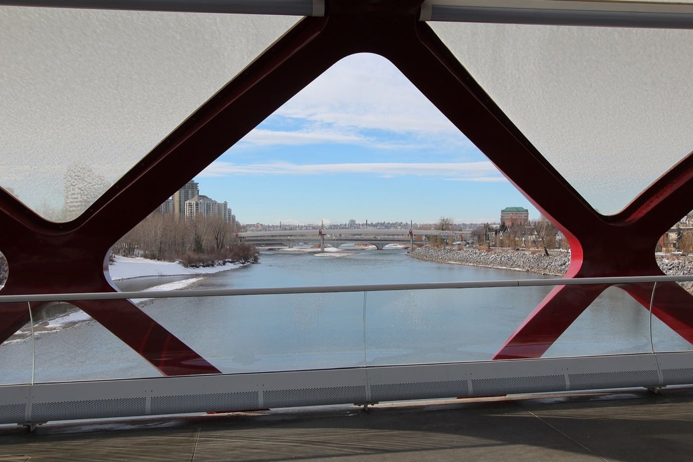
Bridlewood
A 1997 subdivision at the city's southern edge, Spruce Meadows on one side, a wetland on the other.
- 1997
- Community established
- 3.2 km²
- Community land area

Britannia
Half a square kilometre of 1956 streets between the Elbow River and Elbow Drive, five minutes from Chinook Centre.
- 1956
- Community established
- 0.5 km²
- Community land area

Canyon Meadows
A 1965 community on Fish Creek Provincial Park's northern edge, with its own CTrain station and golf course.
- 1965
- Community established
- 3.1 km²
- Community land area

Cedarbrae
A 1973 community on Tsuut'ina Trail, with Southland Leisure Centre on its own doorstep.
- 1973
- Community established
- 2.0 km²
- Community land area

Chinook Park
A 1959 pocket wedged between Glenmore Trail and Rockyview General Hospital, with the reservoir and Heritage Park a few minutes south.
- 1959
- Community established
- 0.6 km²
- Community land area

Christie Park
A 0.8 km² pocket on the escarpment above Sarcee Trail, established in 1990 and still one of the smallest communities in the southwest.
- 1990
- Community established
- 0.8 km²
- Community land area

Cliff Bungalow
A 0.4 km² pocket of condo towers and 1900s walk-ups squeezed between Uptown 17th Avenue's restaurant strip and the Elbow River escarpment, renamed from a numbered lot in the 1970s.
- 1907
- Community established
- 0.4 km²
- Community land area

Coach Hill
A 1979 hillside community at the western end of the Blue Line, with more condominiums and townhouses than any of its escarpment neighbours and a quarter of residents over 65.
- 1979
- Community established
- 1.1 km²
- Community land area

Cougar Ridge
A 2001 community wedged directly below Canada Olympic Park and the Paskapoo Slopes escarpment, with the Trans-Canada running along its own boundary toward the mountains.
- 2001
- Community established
- 2.2 km²
- Community land area
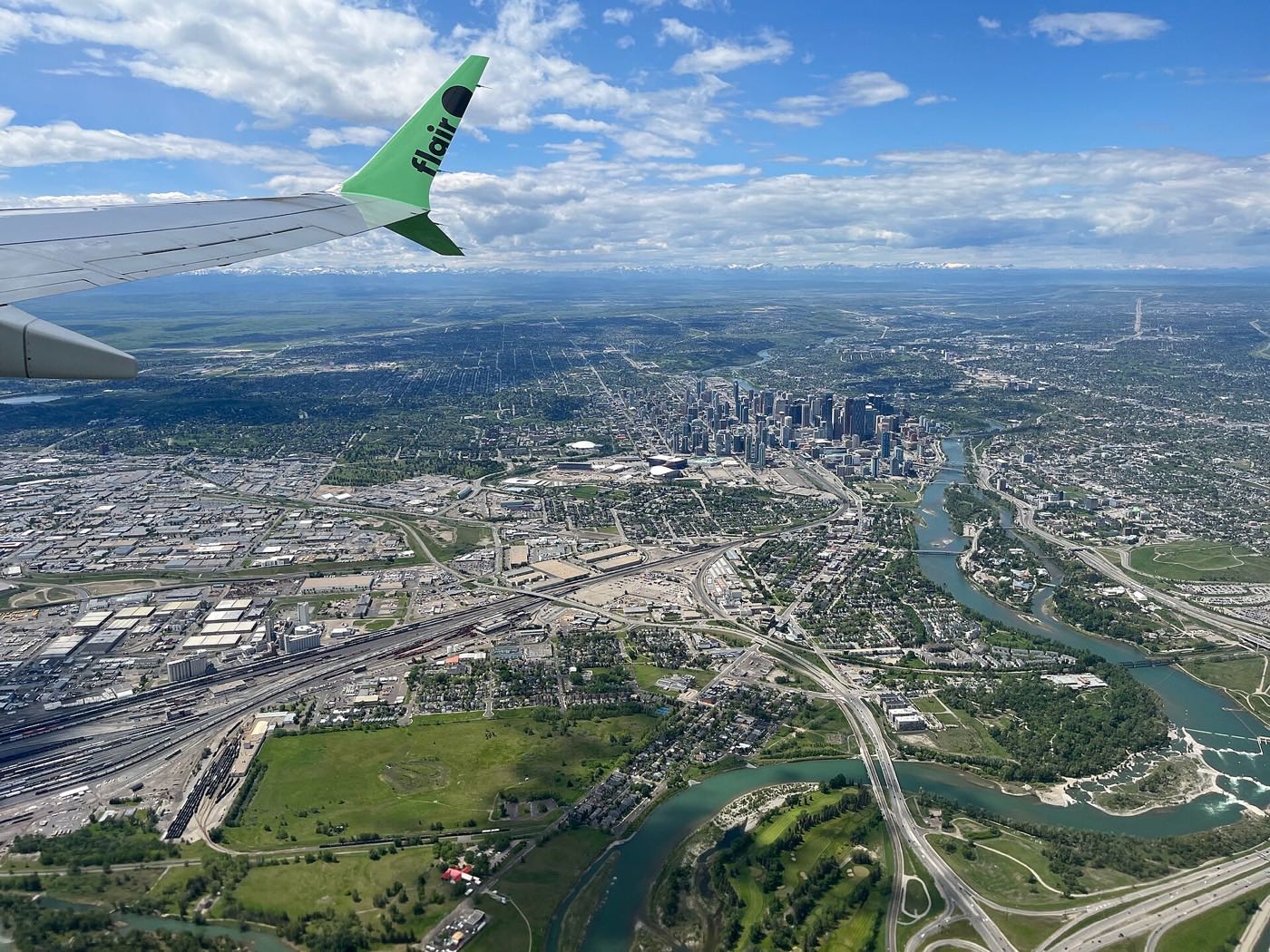
Crestmont
The city's far southwest edge, cut off from the rest of Calgary by the Trans-Canada Highway, with Rocky View County's open land on two sides and a single bus route.
- 2000s
- Decade built, City of Calgary
- 2.7 km²
- Community land area

Currie Barracks
A 1935 militia base, decommissioned in 1998 and rebuilt in place as a dense new community, with the old barracks buildings still standing and Mount Royal University on its doorstep.
- 1935
- Barracks construction begins
- 1.0 km²
- Community land area

Discovery Ridge
A 1990s community reached by a single road, wedged between Griffith Woods' 93-hectare Elbow River forest and the Tsuu T'ina First Nation boundary.
- Early 1990s
- Community established
- 3.6 km²
- Community land area
Eagle Ridge
A 0.4 km² peninsula in the Glenmore Reservoir, ringed on three sides by water, and one of Calgary's wealthiest addresses.
- 1960
- Subdivided by the Kelwood Corporation
- 0.4 km²
- Community land area

Elbow Park
One of Calgary's oldest and wealthiest riverside communities, built after 1910 along the Elbow's west bank, with the Glencoe Club on its doorstep and a real flood history.
- 1910
- Community established
- 1.8 km²
- Community land area

Elboya
A 1947 farmland-turned-inner-city pocket on the Elbow River, bordering Stanley Park, where 45 per cent of households rent.
- 1947
- Community established
- 0.7 km²
- Community land area

Erlton
A 1910 railway subdivision turned condo enclave on a bend of the Elbow, wedged between the Stampede Grounds and Macleod Trail, and now the highest-income small community on this site.
- 1906
- Established
- 0.5 km²
- Community land area

Evergreen
A 1999 community split by Fish Creek Boulevard, backing directly onto Fish Creek Provincial Park across nearly its whole northern edge.
- 1999
- Established
- 4.6 km²
- Community land area
Garrison Green
The smallest and densest of the three former CFB Calgary communities, built around a peacekeepers' memorial beside Mount Royal University.
- 2000s
- When 77% of the housing was built
- 0.4 km²
- Community land area

Garrison Woods
The former married-quarters half of CFB Calgary, rebuilt since 1998 with World War I battle-honour street names and Marda Loop on its doorstep.
- 1998
- CFB Calgary decommissioned
- 0.8 km²
- Community land area

Glamorgan
A 1958 community named for a dairy farm, sitting directly across Glenmore Trail from Mount Royal University, with 38% of its households living alone.
- 1958
- Community established
- 2.0 km²
- Community land area

Glenbrook
A 1958 community on Richmond Road where nearly half the households rent, shaped as much by Mount Royal University's student market as by its original bungalows.
- 1958
- Community established
- 2.0 km²
- Community land area

Glendale
A 1955 bungalow community built around Optimist Athletic Park, with the oldest housing stock and the lowest rental share of the three communities on this belt.
- 1955
- Community established
- 1.4 km²
- Community land area
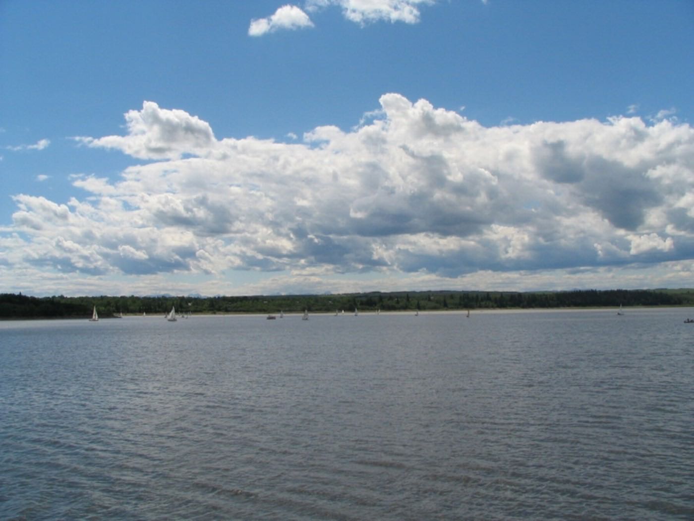
Haysboro
A 1958 community on Harry Hays's old dairy farm, bisected by Elbow Drive and bordering the Glenmore Reservoir.
- 1958
- Community established
- 2.7 km²
- Community land area

Kelvin Grove
A 1957 community with Rockyview General Hospital immediately across 14 Street and Henry Wise Wood High School on its own southern edge.
- 1957
- Established
- 0.8 km²
- Community land area

Killarney/Glengarry
A 1906 bungalow grid rebuilding lot by lot since 2002, with the West LRT's Westbrook Station on its own doorstep and a long-vacant redevelopment site next door.
- 1906
- First subdivision plan registered
- 1.8 km²
- Community land area
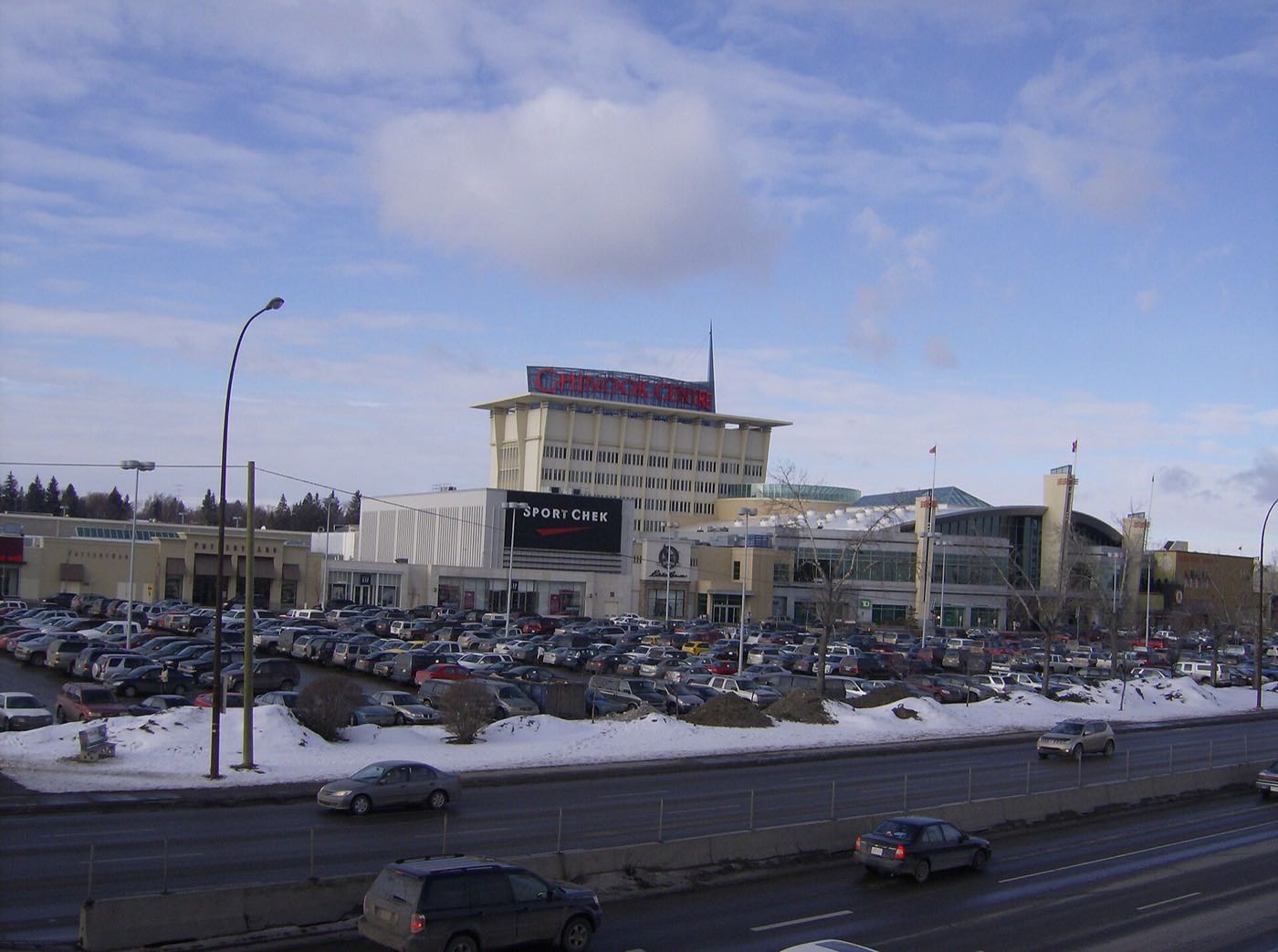
Kingsland
A 1957 community pressed against Chinook Centre and Macleod Trail, where more than half the buildings are now condos or apartments.
- 1957
- Community established
- 1.3 km²
- Community land area
Lakeview
A 1962 community boxed in by Crowchild Trail and the Tsuut'ina Nation reserve, with the city's canoe and rowing clubs on its own reservoir shore.
- 1962
- Community established
- 2.2 km²
- Community land area

Lincoln Park
A 1.5 km² pocket built on a WWII airfield, now almost entirely Mount Royal University's campus and its surrounding rental apartments.
- 1972
- Mount Royal campus opens
- 1.5 km²
- Community land area

Lower Mount Royal
A 1907 CPR subdivision squeezed onto 0.3 square kilometres below the Upper Mount Royal escarpment, now Calgary's densest walk-up rental pocket.
- 1907
- Community established
- 0.3 km²
- Community land area
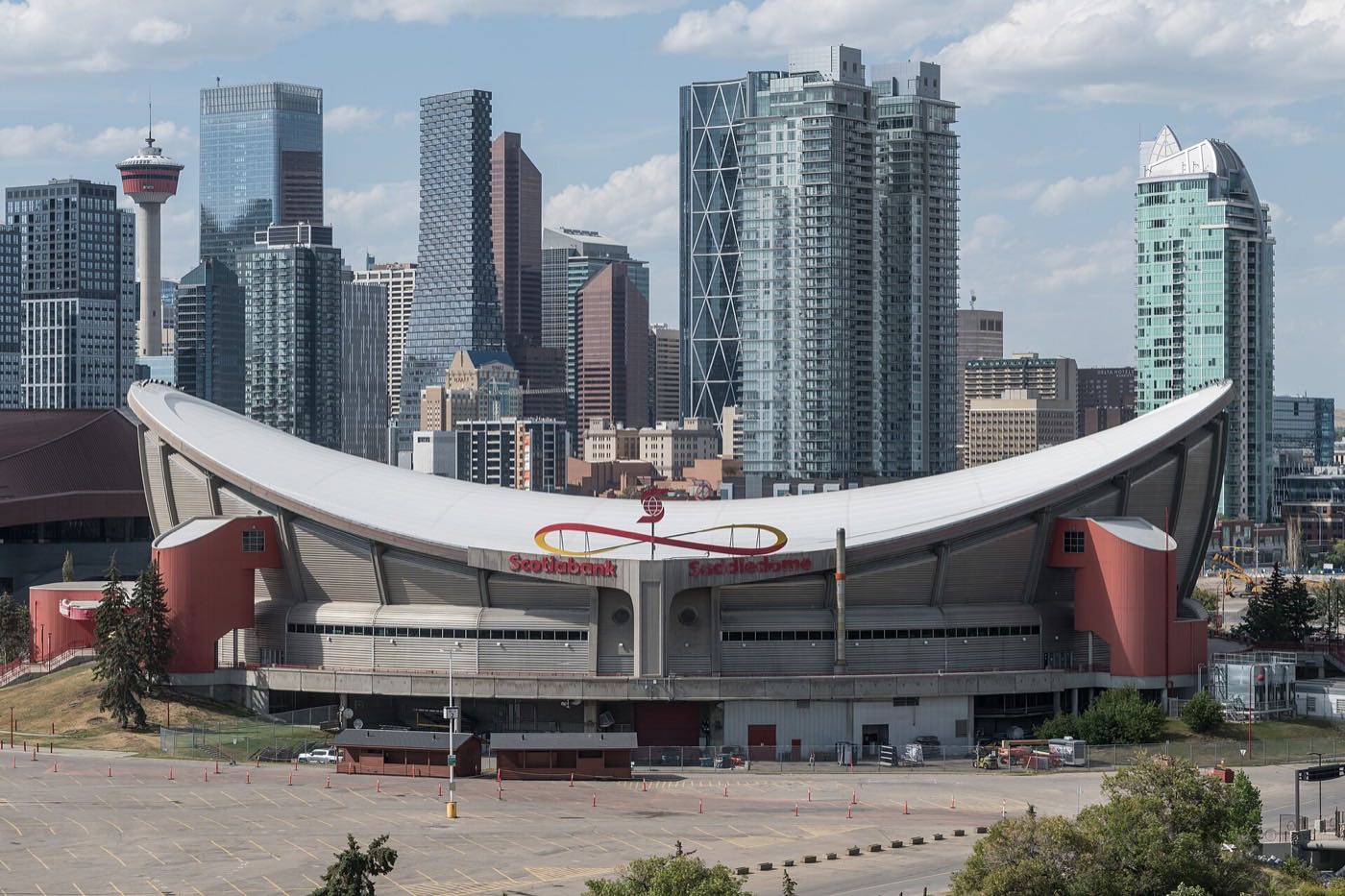
Manchester
A 1914 workers' district squeezed onto 0.5 km² between Macleod Trail and Manchester Industrial, with only 950 residents left and 93% of them renting.
- 1914
- Community established
- 0.5 km²
- Community land area

Marda Loop
A 200-plus-business shopping district on 33 and 34 Avenues SW, not a City of Calgary community. Every address here sits in South Calgary, Altadore or Garrison Woods.
- 1984
- Business Improvement Area established
- 0.9 km²
- South Calgary land area. Marda Loop's anchor community
Mayfair
0.3 km² of single-detached homes on Glenmore Reservoir's eastern shore, 100% owner-occupied and Calgary's highest-income community.
- 1957
- Community established
- 0.3 km²
- Community land area

Meadowlark Park
A 0.7 km² pocket of 1955 crescents wedged against Chinook Centre's western wall, pinched between Macleod Trail and Glenmore Trail.
- 1955
- Community established
- 0.6 km²
- Community land area

Millrise
A compact 1982 community south of Fish Creek Provincial Park, built around its own Sobeys-anchored plaza and the Fish Creek–Lacombe CTrain platform.
- 1982
- Community established
- 1.8 km²
- Community land area

Mission
A 0.53 km² former French mission village on the Elbow River, now Calgary's densest small community, where 4th Street SW's restaurant strip is effectively the neighbourhood's front yard.
- 1899
- Community established
- 0.53 km²
- Community land area

North Glenmore Park
A 1959 subdivision squeezed between Earl Grey Golf Club and the Glenmore Reservoir, with almost none of its own street-level commercial space.
- 1959
- Community established
- 1.2 km²
- Community land area

Oakridge
A 1968 escarpment community on the Glenmore Reservoir's south shore, built around its own Co-op and a public school running two city-wide programmes.
- 1968
- Community established
- 2.4 km²
- Community land area

Palliser
A 1967 community on the Glenmore Reservoir's south shore where 44% of homes are rented, well above the city average.
- 1967
- Community established
- 1.0 km²
- Community land area

Patterson
A 1983 escarpment community built on the site of the 1988 Winter Olympics' broadcast village, with the highest rental rate of Calgary's four western hillside communities.
- 1983
- Community established
- 2.0 km²
- Community land area

Pump Hill
Calgary's smallest estate pocket, on the Glenmore Reservoir's south shore, named for the windmill that once pumped water for a market garden.
- 1967
- Development begins (own community 1991)
- 0.9 km²
- Community land area

Richmond
A 1950 bungalow community split by Crowchild Trail, with the vacant Viscount Bennett school site on its doorstep and the fight over what replaces it unsettled.
- 1950
- Community established
- 1.8 km²
- Community land area
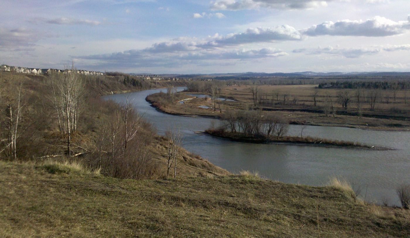
Rideau Park
A 0.3 km² pocket wrapped on three sides by a bend in the Elbow River, established in 1911, with a quarter of homes renting and Lindsay's sandstone ruin on the escarpment.
- 1911
- Community established
- 0.3 km²
- Community land area

Rosscarrock
A 1954 community squeezed between the West LRT and Shaganappi Point golf course, where apartments now outnumber the original bungalows.
- 1954
- Community established
- 1.1 km²
- Community land area
Roxboro
A 0.3 km² pocket wrapped by a bend in the Elbow River, established in 1923, with zero rental housing and a real flood history behind the wealth.
- 1923
- Community established
- 0.3 km²
- Community land area

Rutland Park
A 0.9 km² pocket on former Currie Barracks land where two in three households rent, and the community's own school building is currently leased to a private academy.
- 1952
- Community established
- 0.7 km²
- Community land area

Scarboro
A 1910 Olmsted-designed garden suburb of curving streets and triangular parkettes on 0.5 square kilometres, bisected by Crowchild Trail since 1964.
- 1910
- Community established
- 0.5 km²
- Community land area

Shaganappi
A 1949 community wrapped around Calgary's second-oldest municipal golf course, with its own West LRT stop on Bow Trail.
- 1949
- Community established
- 1.5 km²
- Community land area

Shawnee Slopes
A 1986 golf-course community whose fairways council cleared for about 1,400 homes in 2013, with Fish Creek along the whole northern edge.
- 1986
- Community established
- 1.2 km²
- Community land area
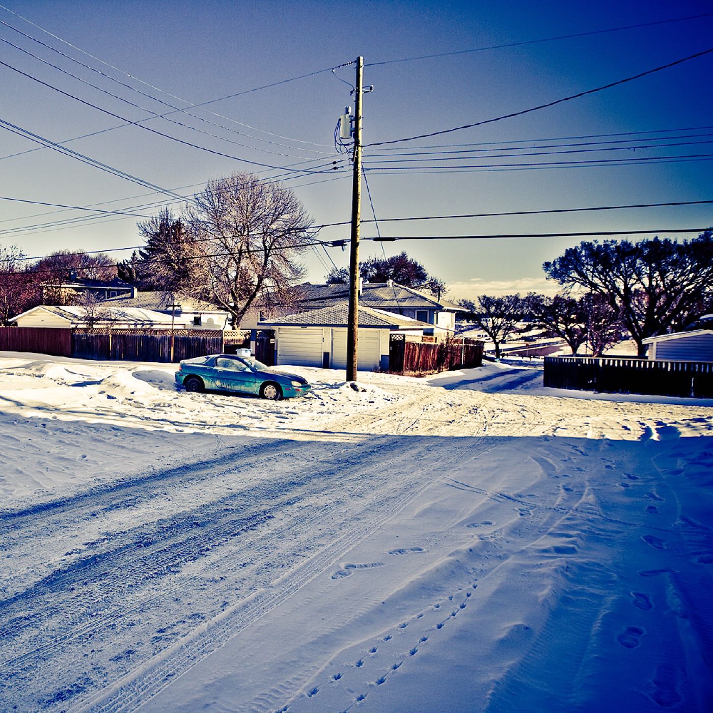
Shawnessy
A 1981 community named for Samuel Shaw, whose community association still works out of an old barn beside the big-box retail of Shawnessy Town Centre.
- 1981
- Community established
- 3.7 km²
- Community land area

Signal Hill
A 1986 hillside community whose escarpment carries the Battalion Park numerals: 16,000 stones spelling out four First World War battalion numbers.
- 1987
- Community established
- 5.4 km²
- Community land area

Silverado
A 2000s community south of Stoney Trail, built against a city-mandated wetland buffer with Spruce Meadows on the other side.
- 2005
- Community established
- 5.9 km²
- Community land area
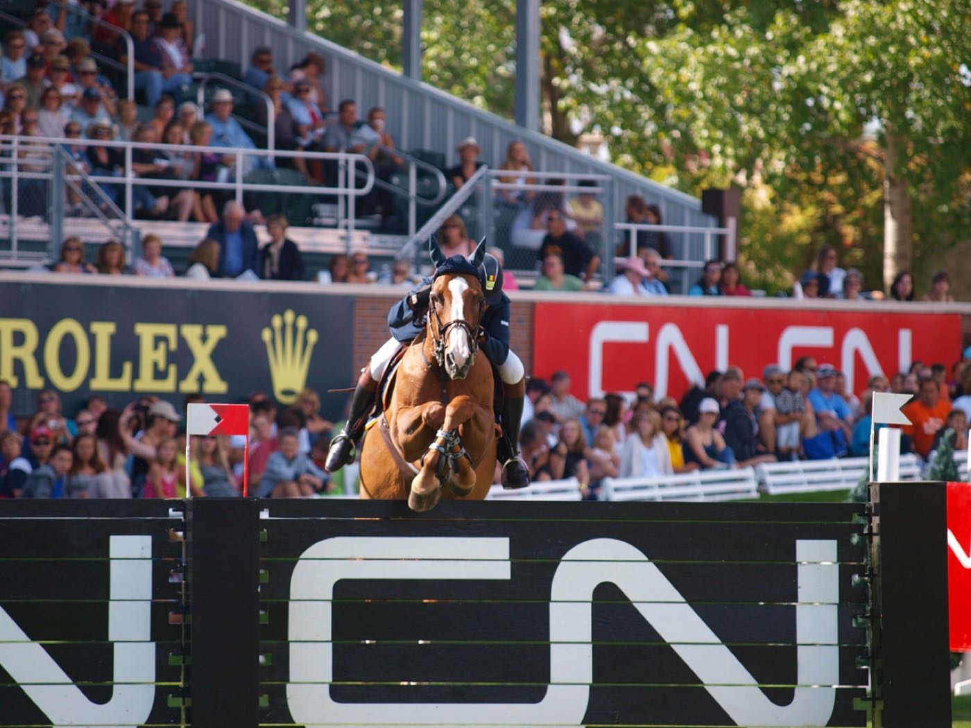
Somerset
A 1995 community at the literal end of the Red Line, with Spruce Meadows just across Stoney Trail to the south.
- 1995
- Community established
- 2.2 km²
- Community land area

South Calgary
A 0.9 km² pocket that sat vacant for decades, now split exactly 50/50 between owners and renters, with Marda Loop's northern half along its own southern edge.
- 1914
- Community established
- 0.9 km²
- Community land area
Southwood
A 1960 community built where the Corral Drive-in used to run, bracketed by two CTrain stations on the original South Line.
- 1960
- Community established
- 2.6 km²
- Community land area

Springbank Hill
Calgary's largest southwest edge community, running from LRT-side condos near 69 Street down to gated acreage estates in The Slopes, and still filling in on its southern lots.
- 1999
- Community established
- 6.3 km²
- Community land area

Spruce Cliff
A 1950 apartment-heavy community wedged between the Bow River escarpment and Shaganappi's golf course, with Westbrook LRT a short walk southeast.
- 1950
- Community established
- 1.1 km²
- Community land area

Strathcona Park
A 1980 family community wrapped around its own 23-hectare ravine park, with the lowest rental rate and the largest population of the escarpment's four hillside communities.
- 1980
- Community established
- 2.7 km²
- Community land area

Sunalta
A 1910 CPR grid of 25-foot lots that became the West LRT's first stop out of downtown, now Calgary's most rented inner-city address.
- 1910
- Community established
- 0.9 km²
- Community land area
Upper Mount Royal
1.3 square kilometres of large-lot estates above the Cameron and Royal Avenue escarpment, established in 1904 as Calgary's original elite hillside subdivision.
- 1904
- Community established
- 1.3 km²
- Community land area
West Springs
A 2001 community of new detached houses west of Sarcee, with three private and international schools nearby and the Blue Line's 69 Street terminus a drive, not a walk, away.
- 2001
- Community established
- 4.1 km²
- Community land area

Westgate
A 1957 bungalow community pinned between Edworthy Park's ravine and Sarcee Trail, where 58% of the housing predates 1961 and almost nobody rents.
- 1957
- Community established
- 1.2 km²
- Community land area

Wildwood
A 1950s bungalow community backing directly onto Edworthy Park and the Douglas Fir Trail, with the lowest rental rate and the highest income of the escarpment's four hillside communities.
- 1956
- Community established
- 2.5 km²
- Community land area
Windsor Park
A 1940 riverside pocket beside the Calgary Golf & Country Club, now 63% rental and dominated by apartment towers.
- 1940
- Community established
- 1.3 km²
- Community land area

Woodbine
A 1979 community built directly against Fish Creek Provincial Park's northern edge, where 10 per cent of households rent against 31 across the city.
- 1979
- Community established
- 3.2 km²
- Community land area

Woodlands
A 1976 community against Fish Creek Provincial Park, where the Canyon Meadows Golf & Country Club sits entirely inside its own boundary.
- 1976
- Community established
- 2.8 km²
- Community land area
Yorkville
Calgary's newest southwest community, still filling in past Stoney Trail, with Central Park and its skate park at its centre.
- 2.0 km²
- Community land area
- 715
- Residents (2021 census)
Photographs: Fish Creek Provincial Park in autumn by Bernard Spragg. NZ from Christchurch, New Zealand, CC0, Wikimedia Commons · Elbow River, Calgary by jockrutherford from Owen Sound, ON, CC BY-SA 2.0, Wikimedia Commons · The CTrain at 69 Street by David Wilson from Oak Park, Illinois, USA, CC BY 2.0, Wikimedia Commons · Bankview by Qyd, CC BY 2.5, Wikimedia Commons · S.S. Moyie on Glenmore Reservoir on 03 June 2025 by MapperBob, CC BY 4.0, Wikimedia Commons · Glenmore Trail by dr-scott, CC BY-SA 3.0, Wikimedia Commons · Fish Creek Park, Calgary by jockrutherford from Owen Sound, ON, CC BY-SA 2.0, Wikimedia Commons · Winter approaching by davebloggs007, CC BY 2.0, Wikimedia Commons · The rebuilt bridge at Sandy Beach by davebloggs007, CC BY 2.0, Wikimedia Commons · Fish creek provincial park pond by Harpsz, CC BY-SA 4.0, Wikimedia Commons · Woodbine Square Shopping Mall, the liquor store by CnekYT, CC BY-SA 4.0, Wikimedia Commons · 7208 Kananaskis Dr SW by Jack Hope from Calgary, Canada, CC BY 2.0, Wikimedia Commons · 15 Strathdale Close SW by Jack Hope from Calgary, Canada, CC BY 2.0, Wikimedia Commons · An apartment block in Cliff Bungalow by JMacPherson from Calgary, Canada, CC BY 2.0, Wikimedia Commons · Park along 73rd Street SW by calind, CC BY-SA 3.0, Wikimedia Commons · Calgary from the ski jump tower, Canada Olympic Park by InSapphoWeTrust from Los Angeles, California, USA, CC BY-SA 2.0, Wikimedia Commons · Calgary from the air by Michael Weinold, CC BY 4.0, Wikimedia Commons · Relief at Mount Royal University by Chris Woodrich, CC BY-SA 4.0, Wikimedia Commons · Discovery Ridge Spring by outofthought, CC BY-SA 3.0, Wikimedia Commons · Calgary pathway by davebloggs007, CC BY 2.0, Wikimedia Commons · Chinook arch over Calgary by Wikipedia user Elpoca, CC BY-SA 2.5, Wikimedia Commons · Union Cemetery, Calgary by Jeff Hitchcock from Seattle, WA, USA, CC BY 2.0, Wikimedia Commons · An autumn trail in Fish Creek Park by Bernard Spragg. NZ from Christchurch, New Zealand, Public domain, Wikimedia Commons · Master's Academy & College Front by Jackery01, CC BY-SA 3.0, Wikimedia Commons · 141 Gloucester Crescent SW by Jack Hope from Calgary, Canada, CC BY 2.0, Wikimedia Commons · Currie Barracks Valour Park by outofthought, CC BY-SA 3.0, Wikimedia Commons · 17 Avenue SW at 37 Street SW by Daniel from Glasgow, United Kingdom, CC BY 2.0, Wikimedia Commons · Glenmore Reservoir by Qyd, CC BY-SA 3.0, Wikimedia Commons · S.S. Moyie Drydocked at the Glenmore Reservoir by Harpsz, CC BY-SA 4.0, Wikimedia Commons · Westbrook station platform by Daniel from Glasgow, United Kingdom, CC BY 2.0, Wikimedia Commons · CF Chinook Centre by User:Thivierr, CC BY-SA 3.0, Wikimedia Commons · West Student Residences, Mount Royal University by Chris Woodrich, CC BY-SA 4.0, Wikimedia Commons · 17th Avenue SW, Calgary by InSapphoWeTrust from Los Angeles, California, USA, CC BY-SA 2.0, Wikimedia Commons · Scotiabank Saddledome by DXR, CC BY-SA 4.0, Wikimedia Commons · Calgary pathway by davebloggs007, CC BY 2.0, Wikimedia Commons · Downtown from Prince's Island by Tamsintj, CC BY-SA 4.0, Wikimedia Commons · St Paul's Anglican Church by WillowGoodf, CC BY-SA 3.0, Wikimedia Commons · Downtown Calgary after the flood by davebloggs007, CC BY 2.0, Wikimedia Commons · Glenmore Trail by JMacPherson from Calgary, Canada, CC BY 2.0, Wikimedia Commons · Elbow River, Calgary by jockrutherford from Owen Sound, ON, CC BY-SA 2.0, Wikimedia Commons · A path at Heritage Park by davebloggs007, CC BY 2.0, Wikimedia Commons · Downtown Calgary seen from Patterson by calind, CC BY-SA 3.0, Wikimedia Commons · Southwood Library by Dean T Mullin of the Calgary Public Library, CC0, Wikimedia Commons · Crowchild South by outofthought, CC BY-SA 3.0, Wikimedia Commons · The Bow River by Jock Rutherford, CC BY-SA 2.0, Wikimedia Commons · Evening falls on 37 Street SW by Daniel from Glasgow, United Kingdom, CC BY 2.0, Wikimedia Commons · Currie Barracks by outofthought, CC BY-SA 3.0, Wikimedia Commons · Sunalta 2004 by Qyd, CC BY 2.5, Wikimedia Commons · Calgary bridges by davebloggs007, CC BY 2.0, Wikimedia Commons · Fish Creek Provincial Park by Bernard Spragg. NZ from Christchurch, New Zealand, CC0, Wikimedia Commons · A Calgary residential street in snow by Jesse Yardley, CC BY 2.0, Wikimedia Commons · Signal Hill1 by Qyd, CC BY-SA 3.0, Wikimedia Commons · Spruce Meadows by davebloggs007, CC BY 2.0, Wikimedia Commons · Show jumping at Spruce Meadows by Calgary Reviews, CC BY 2.0, Wikimedia Commons · Calgary pathway by davebloggs007, CC BY 2.0, Wikimedia Commons · Discovery Ridge Spring by outofthought, CC BY-SA 3.0, Wikimedia Commons · Housing Project in the Calgary neighborhood of Spruce Cliff by CnekYT, CC BY-SA 4.0, Wikimedia Commons · CFCN TV Tower by Qyd, CC BY-SA 3.0, Wikimedia Commons · Rail tracks under Bow Trail SW by Daniel from Glasgow, United Kingdom, CC BY 2.0, Wikimedia Commons · Calgary community of Westgate by CnekYT, CC BY-SA 4.0, Wikimedia Commons · Winter in Calgary, October 2017 by Daniel from Glasgow, United Kingdom, CC BY 2.0, Wikimedia Commons · Calgary neighborhood of Woodbine by CnekYT, CC BY-SA 4.0, Wikimedia Commons · Woodlands SURI Plaza by CnekYT, CC BY-SA 4.0, Wikimedia Commons.
.jpg)
.jpg)
.jpg)


.jpg)
.jpg)
.jpg)

.jpg)
.jpg)
.jpg)
.jpg)

.jpg)
.jpg)


.jpg)

.jpg)
.jpg)

.jpg)

.jpg)


.jpg)


.jpg)

.jpg)


.jpg)
.jpg)
.jpg)
.jpg)


.jpg)


.jpg)
.jpg)


.jpg)

.jpg)
.jpg)


_(33430864154).jpg)

.jpg)

.jpg)