
Live in Mission
A 0.53 km² former French mission village on the Elbow River, now Calgary's densest small community, where 4th Street SW's restaurant strip is effectively the neighbourhood's front yard.
Mission was established in 1899 as the Village of Rouleauville: 0.53 km² wrapped by the Elbow River, annexed into Calgary in 1907 when the city replaced its French street names with numbers. Today it holds 4,505 residents in 3,120 private households at the 2021 census, one of the densest small communities on this site, with 69 per cent of households renting against 31 per cent across Calgary. The 4th Street SW strip is the address: restaurants, patios and the annual Lilac Festival, alongside St. Mary's Cathedral, seat of the Calgary diocese since 1912. The honest tension is density without much green space of its own. The Elbow River pathway is the only real outdoor room, and the flood that closes it every few years is not hypothetical.
A 19th-century mission village rebuilt as Calgary's densest small community
Bounded by 17 Avenue SW to the north, 4 Street SW to the west, and the Elbow River wrapping the south and east edges. Ward 8.
Mission began in 1875 as Notre Dame de la Paix, a Catholic mission founded by Father Constantine Scollen, and incorporated on 2 November 1899 as the Village of Rouleauville, before Calgary annexed it in 1907 and replaced its French street names with the city's numbering system. At 0.53 km² it now holds 4,505 residents in 3,120 private households at the 2021 census: about 8,500 people per km², one of the highest densities of any small community on this site.
The two anchors. 4th Street SW carries the community's restaurants and patios, and the annual Lilac Festival closes it each June from 12 Avenue to Elbow Drive SW. St. Mary's Cathedral, the seat of the Diocese of Calgary since 1912, stands beside St. Mary's High School, founded in 1885 and described as the oldest school in Calgary still in operation.
What it costs to live here. 69% of households rent, the exact inverse of Calgary's 31%, and median household income was $72,000 in 2020 against $98,000 across the city. The stock explains it: 52% of occupied dwellings are apartments in buildings under five storeys and 43% are apartments above five storeys. Single-detached houses are 1%. Households average 1.4 people and 65% of them are one person.
The honest tension is density without much green space of its own: the Elbow River pathway is the community's real outdoor room, and the flood that closes it every few years is not hypothetical. The district went under in 1929, and evacuation orders were issued here on 20 June 2013. What density buys back is the commute: 22% of employed residents walk to work against 4% citywide, and 31% are at work in under fifteen minutes.
- 69% of households rent: inventory for buyers is thin and turns over fast
- 4th Street's restaurant noise and Stampede-week crowds reach every block in the community
- Evacuation orders reached Mission on 20 June 2013; confirm a specific address's flood risk before buying
- About 8,500 residents per km² at the 2021 census means little private outdoor space
- 13% of the occupied stock predates 1961 and another 35% is 1961 to 1980. Age shows in the small blocks
How Mission got here
- 1875Father Constantine Scollen establishes a permanent Catholic mission on the site, Notre Dame de la Paix.
- 1885St. Mary's School opens. It is described as the oldest school in Calgary still in operation.
- 2 November 1899The settlement incorporates as the Village of Rouleauville, named after Charles Rouleau.
- 1907Calgary annexes Rouleauville; the French street names are replaced with the city's numbering system.
- 1912St. Mary's Church, founded 1889, becomes St. Mary's Cathedral, seat of the new Diocese of Calgary.
- 1929The Bow and Elbow overrun their banks, flooding the district.
- 20 June 2013Evacuation orders are issued across Mission during the Alberta floods.
- 2019The City's last civic census counts 4,595 residents in 3,479 dwellings, 3,226 of them occupied and only 881 owner-occupied.
- 2021The federal census counts 4,505 residents in 3,120 private households, 69 per cent of them renting, with a median household income of $72,000 in 2020 against $98,000 across Calgary.
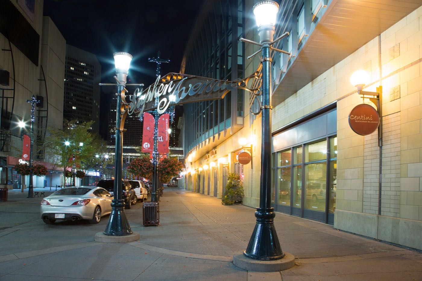
The river is the yard this density doesn't otherwise have
The Elbow River wraps Mission's southern and eastern edges, and its pathway is the community's main open space. There is no large park inside the boundary itself. The route connects north into downtown and south toward Stanley Park and the Glenmore pathway network.
What the map does not show: when the pathway floods, as it did in 2013, this community loses its only real outdoor room, not just a nice-to-have.
Elsewhere in Calgary, not Mission
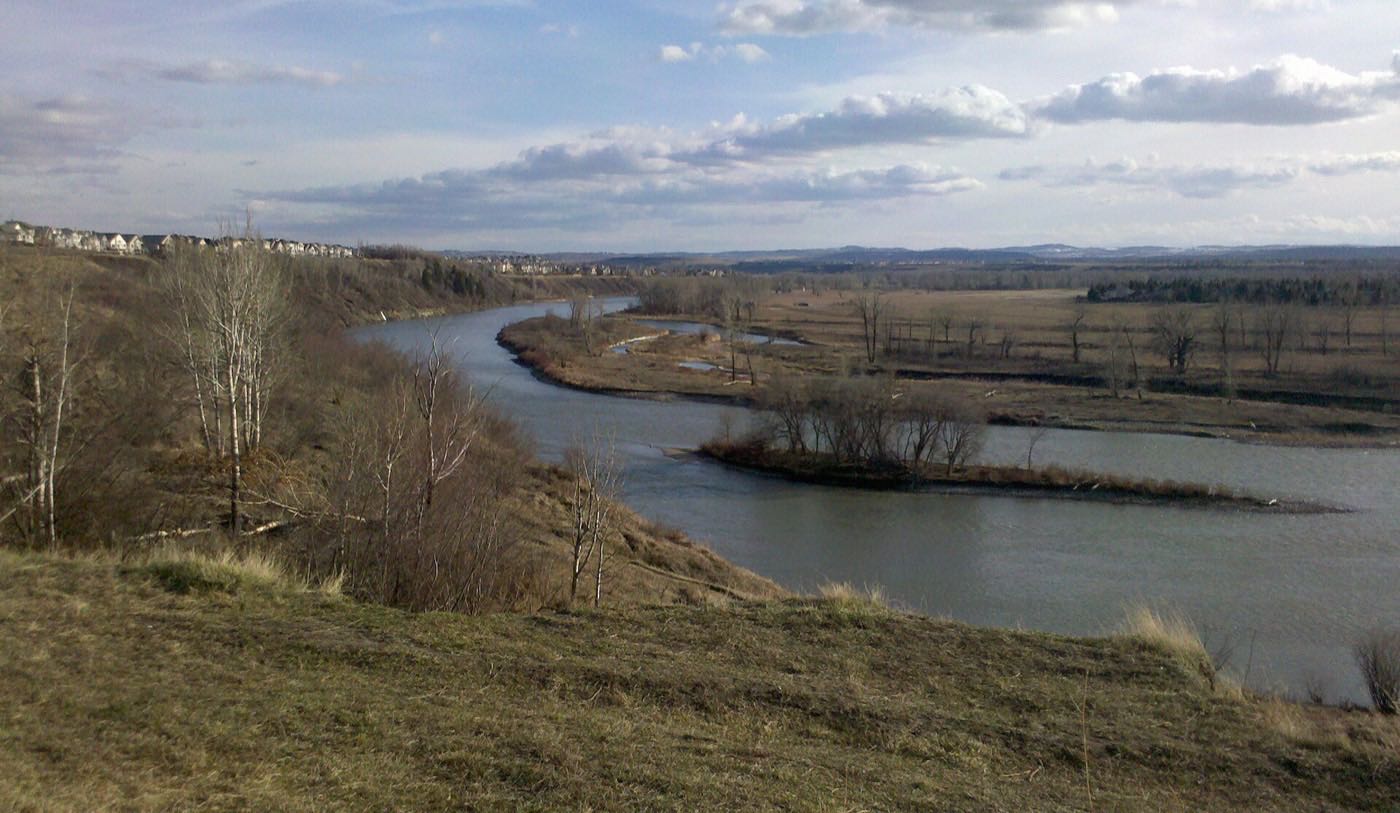
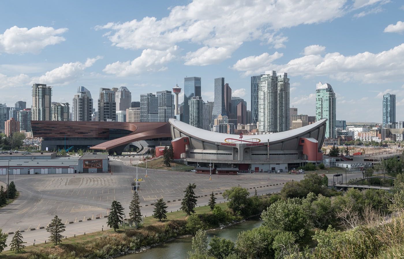
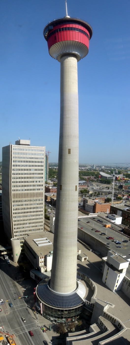

14 places, with real drive times
Road-adjusted distance and drive time from the centre of the community to each destination, nearest first. Filter by category.
Showing 1–12 of 14 places, nearest first.
Method: distances and drive times are estimated from the centre of the community to each destination using Calgary's road grid, and are rounded to honest ranges rather than presented as precise figures. Nearly everything on this list is a five-minute walk or a two-minute drive: density is the trade you're making here.
Every gym within reach
There is no large recreation centre inside Mission itself, and no City pool anywhere near: the nearest on the City's own list is Glenmore. MNP Community & Sport Centre at Lindsay Park, a short drive across the river, is the anchor facility for the district.
- Open since 1983: swimming pools, dive towers, a hot tub and steam room, two indoor tracks and a fitness centre
- The City's list of thirteen indoor pools names neither this centre nor the Beltline Aquatic & Fitness Centre
- The Beltline pool is reported closed, but no publisher page carrying the closure could be opened for this audit
- The Elbow River pathway is the free option, a few minutes' walk from any block
| Facility | What it is | Drive |
|---|---|---|
| MNP Community & Sport Centre open | 2225 Macleod Trail SE at Lindsay Park, open since 1983. Swimming pools, dive towers, a hot tub and steam room, two indoor tracks and a fitness centre with specialist studios. | 5–8 min |
| Elbow River pathway open | Free option: the river pathway wraps the community's own southern and eastern edge. | 1–2 min |
| Beltline Aquatic & Fitness Centre closed | The City's own pool list no longer names this facility. The pool is reported closed and the building runs as the Beltline Community Hub, but no publisher page carrying the closure could be opened for this audit. | 4–6 min |
The river pathway does the daily work here. The paid options are for water, weights and winter.
Two Catholic schools inside the community, one public high on the edge
St. Monica School carries Catholic kindergarten through grade 9 inside Mission, and St. Mary's High School runs grades 10 to 12 at 111 18 Avenue SW, founded 1885 and described as the oldest school in Calgary still in operation. Western Canada High School, at 641 17 Avenue SW with 2,229 students, names Mission among the four communities it serves.
| School | Board | Note |
|---|---|---|
| St. Monica School | Calgary Catholic School District | Catholic school inside the community, at 18 Avenue and 2 Street SW. The district's site refuses automated clients and no other publisher opened for this audit names it, so its grade range here is unverified. |
| St. Mary's High School | Calgary Catholic School District | Grades 10 to 12 at 111 18 Avenue SW, founded 1885 and described as the oldest school in Calgary still in operation. It has run the International Baccalaureate Diploma Programme since 1986. |
| Western Canada High School | Calgary Board of Education | Public grades 10 to 12 at 641 17 Avenue SW on the community's northern edge, with 2,229 students in 2025 to 2026 and an IB Diploma programme. It serves Mount Royal, Mission, Cliff Bungalow and Connaught. |
| Designated schools | Calgary Board of Education | No CBE elementary or junior high sits inside Mission. Connaught School, to the north, runs kindergarten to grade 9. It publishes no attendance area, so confirm the designation for a specific address with the board. |
Alberta funds Catholic education the same way it funds public education, so there is no tuition for a resident student at either board. Confirm the designation for a specific address before you buy: there is no CBE elementary or junior high inside Mission itself, Connaught to the north publishes no attendance area, and the Calgary Catholic School District's site refuses automated clients, so nothing on the Catholic side here was read from the district.
Month by month, what living here looks like
Not a highlights reel: the actual annual rhythm, including the dates residents have to remember.
- 4th Street's restaurant windows are the only real light on the walk to the Erlton/Stampede platform
- St. Mary's Cathedral's stone holds the cold longer than the wood-frame stock nearby
- The Elbow's ice along the Mission bank is thick enough for a careful look, never a skate
- January rent listings turn over fast in a district where seven in ten households rent
- Chinooks off the escarpment clear 4th Street's sidewalks before the side streets catch up
- Sheldon Chumir's waiting room fills with the season's first hard falls on icy front steps
- The coldest week of the year can still land in February here, same as anywhere on the Elbow
- St. Monica's schoolyard empties out for the mid-winter break
- Meltwater off 4th Street's crown runs toward the Elbow before the storm drains catch up
- Cleats are the honest footwear for the walk down to the river pathway
- 4th Street's patios start testing the weather on any afternoon above freezing
- The Elbow's spring flood watch starts as an annual habit here, not a surprise
- The pathway along the Elbow reopens properly as the ice clears the Mission bank
- Garden centres west on Macleod Trail see the first real Saturday crowds
- MNP Centre's outdoor programs begin their spring changeover
- Lease listings start appearing early ahead of the district's real moving month
- 4th Street's restaurant patios run full most evenings once the light holds past nine
- The Lilac Festival's vendor applications close ahead of the June street closure
- St. Mary's Cathedral's grounds are one of the few green spots density leaves this district
- The Elbow runs high with mountain melt past the Mission bank
- The 4th Street Lilac Festival closes the strip from 12 Avenue to Elbow Drive for a day
- School lets out at St. Monica and Western Canada within the same week
- MNP Centre's outdoor deck and pools hit their first summer crowds
- The Erlton/Stampede platform gets its first shade-seeking commuters
- Stampede week turns 4th Street into an overflow patio for the grounds across the river
- The Erlton/Stampede platform runs standing room for the ten days of the show
- St. Mary's Cathedral's bells carry further in the quiet after the parade passes
- The Elbow's Mission bank becomes a shortcut between downtown and the grounds
- 4th Street's patio season peaks before the school-return rush thins the evening crowd
- Downtown's Sunterra location gets the district's last back-to-school stock-up trips
- The density here means smoke from western wildfires sits longer between the buildings
- MNP Centre's summer membership rush tapers before September
- St. Monica and Western Canada both restart within days of each other
- 4th Street's dinner crowd shifts from patio to indoor as the evenings cool
- September is the district's real moving month, not the calendar's. Leases here turn on the first
- The Elbow's cottonwoods along the Mission bank turn before the community's own street trees
- 4th Street's last patio weekends coincide with peak colour on the escarpment across the river
- St. Mary's Cathedral's stone facade holds the first frosts starkly against the season's colour
- The Erlton/Stampede platform gets its first cold, dark evening commutes
- Density means Mission's Halloween foot traffic is heavier than almost anywhere else on this site
- 4th Street's restaurant crowd retreats indoors for the season
- Dark by five turns the walk to Erlton/Stampede into a headlamp habit
- St. Mary's Cathedral's Advent services draw from well beyond the parish boundary
- The Elbow along the Mission bank carries its first skin of ice
- 4th Street's holiday lights are the closest thing this density gives residents to a front yard
- 4th Street's dining rooms double-book from mid-December through New Year's Eve
- St. Mary's Cathedral's midnight mass is a genuine neighbourhood event, not just a parish one
- The Erlton/Stampede platform is at its coldest for the last commute before the holidays
2 more photographs of the community and its surroundings
All freely licensed, via Wikimedia Commons. Filter by category.


Showing 1–2 of 2 photographs.
About these photographs. Openly licensed images geotagged in or near Mission, found on Wikimedia Commons and served from there with full attribution. Inline photos elsewhere on the page may still come from the site's shared Calgary library.