Live in Lakeview
A 1962 community boxed in by Crowchild Trail and the Tsuut'ina Nation reserve, with the city's canoe and rowing clubs on its own reservoir shore.
Lakeview was established in 1962 on land annexed six years earlier: 2.2 km², 5,640 residents in 2,285 private households at the 2021 census, with 24% renting. The Calgary Canoe Club and the Calgary Rowing Club share the Glenmore Canoe & Rowing Clubhouse on the reservoir to the south. Crowchild Trail forms the eastern boundary and the Tsuut'ina Nation reserve the western one, which makes Lakeview one of the few Calgary communities that cannot expand in either direction. Eighty per cent of the housing went up between 1961 and 1980, and the reservoir view the community is named for is not guaranteed from every lot.
A 1962 community that cannot expand in either direction
Bounded by Glenmore Trail SW to the north, Crowchild Trail SW to the east, the Glenmore Reservoir to the south, and 37 Street SW (the boundary with the Tsuut'ina Nation reserve) to the west. Ward 11.
Lakeview was established in 1962 on land the City annexed six years earlier: 2.2 km², 5,640 residents in 2,285 private households at the 2021 census, with 24% renting against 31% across Calgary. The Calgary Canoe Club and Calgary Rowing Club share the Glenmore Canoe & Rowing Clubhouse on the reservoir to the south. Nothing this guide could open says the streets were laid out for the view, so treat the name as a name.
The two edges. Crowchild Trail forms the eastern boundary, a fast freeway commute in one direction and a wall of traffic noise in the other. The Tsuut'ina Nation reserve forms the western one. Between them, Lakeview is one of the few Calgary communities that physically cannot grow: there is no direction left to build.
The housing stock is overwhelmingly original: 80% of occupied dwellings went up between 1961 and 1980 and 72% are single-detached, with only 60 dwellings added between 2016 and 2021. The reservoir view is not guaranteed from every lot, only the streets closest to the bluff get it. Buyers a block or two back are paying Lakeview prices for a view they do not have.
What's inside. Two public schools and two charter schools, a separate-school designation next door, and Earl Grey Golf Club across Crowchild Trail. Median household income was $116,000 in 2020 against $98,000 citywide, and 35% of employed residents got to work in under fifteen minutes against 21% across the city.

- The Glenmore Reservoir view that names the community only exists on the streets closest to the bluff
- Crowchild Trail carries real highway noise onto the eastern-facing lots
- 80% of the occupied stock dates from 1961 to 1980 and carries the era's full inspection list
- The community cannot expand: 60 dwellings were added between 2016 and 2021, and listings turn over slowly
- Confirm the separate-school designation before assuming St. James applies to a specific address
How Lakeview got here
- 1931The City buys the affected Weaselhead land from the Tsuut'ina Nation so the dam can be built without flooding the reserve.
- 1933The Glenmore Dam is completed and the delta is flooded, creating the reservoir along what becomes the community's southern edge.
- 1956The land is annexed by the City of Calgary.
- 1962Lakeview is established, six years after the annexation.
- 1966The Lakeview Community Association registers as a provincial society on 22 December, at 6110 34 Street SW.
- 2019The City's last civic census counts 5,355 residents and 2,342 dwellings, 2,272 of them occupied and 1,751 owner-occupied.
- 2021The federal census records 5,640 residents in 2,285 private households, 24% of them renting, with a median household income of $116,000 for 2020.
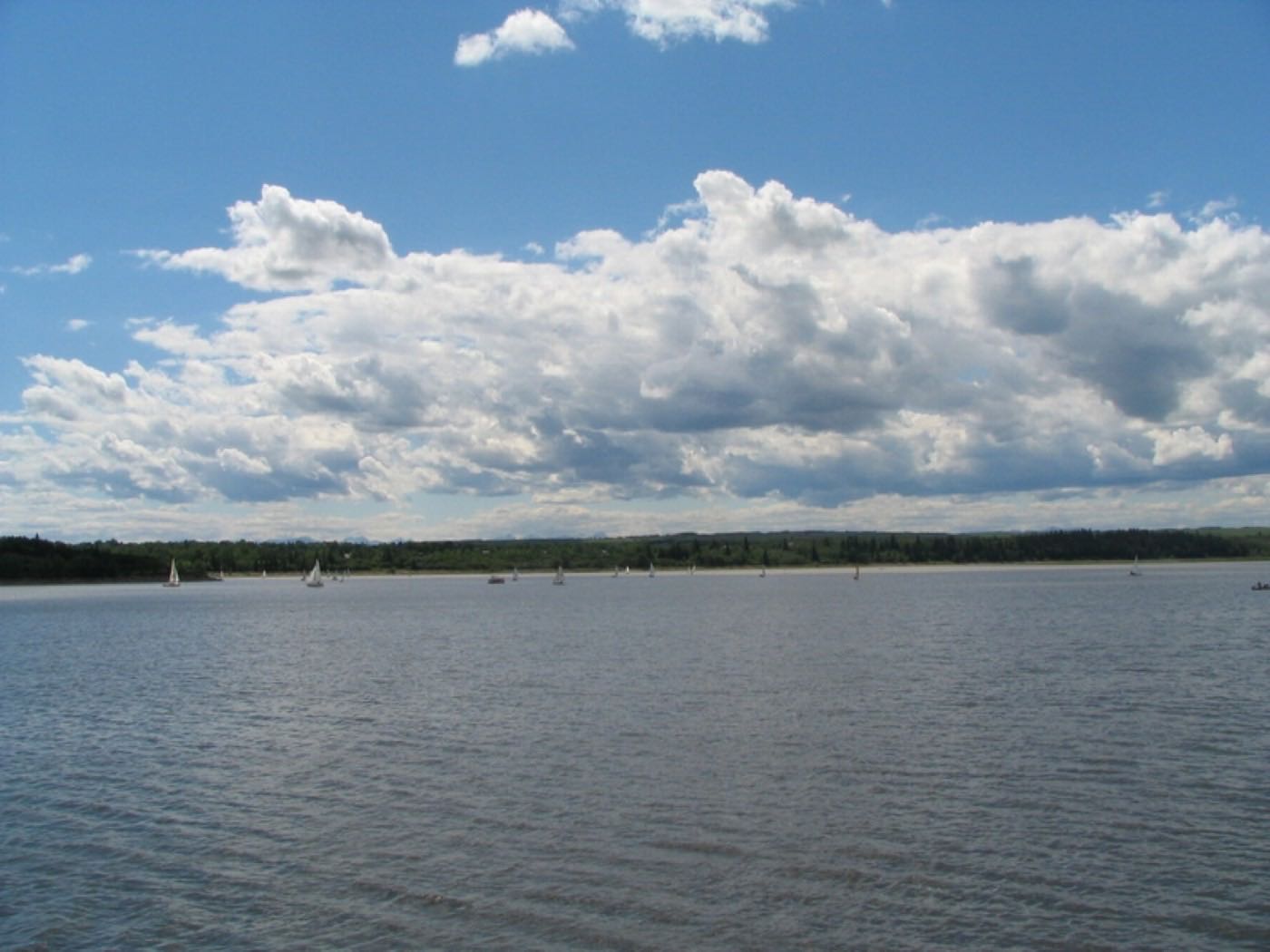
The reservoir the community is named for
The Weaselhead Flats, 237 hectares of Elbow River delta with paved and unpaved trails, and the reservoir shoreline form the community's entire southern edge. The Calgary Canoe Club and Calgary Rowing Club share the Glenmore Canoe & Rowing Clubhouse right on the water. The City bought this land from the Tsuut'ina Nation in 1931 so the Glenmore Dam could go in without flooding the reserve, and the delta flooded when the dam was finished in 1933.
What the map does not show: the reservoir is Lakeview's whole identity, but it is a working water reservoir, not a recreational lake. Sailing, rowing and canoeing run from 1 May to 31 October, swimming is prohibited outright, and the water level drops for the winter drawdown.
Elsewhere in Calgary, not Lakeview

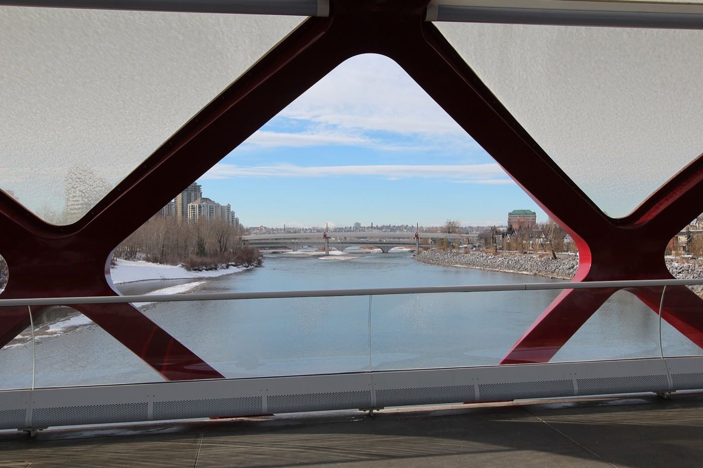
16 places, with real drive times
Road-adjusted distance and drive time from the centre of the community to each destination, nearest first. Filter by category.
Showing 1–12 of 16 places, nearest first.
Method: distances and drive times are estimated from the centre of the community to each destination using Calgary's road grid, and are rounded to honest ranges rather than presented as precise figures. Crowchild Trail puts Lakeview closer to downtown than most reservoir-side communities.
Every gym within reach
No large recreation centre sits inside the community. Southland and Mount Royal University cover the paid options; the reservoir pathway network covers the rest for free.
- Mount Royal University's campus is closer, but the university publishes no recreation page this guide could open
- Earl Grey Golf Club, across Crowchild Trail, covers the shoulder seasons for members
- The Weaselhead and reservoir pathways are the free option, off the community's own edge
- Confirm hours before counting on any of them
| Facility | What it is | Drive |
|---|---|---|
| Southland Leisure Centre open | Wave pool, water slides, weights and cardio, and the Ed Whalen and Joe Kryzcka ice surfaces, at 2000 Southland Dr. S.W. | 9–13 min |
| Mount Royal University Recreation open | The campus is nine hundred metres east, but the university publishes no recreation page this guide could open. Check what is open to the public before you count on it. | 3–4 min |
| Earl Grey Golf Club open | Private club of 130 acres at 6540 20 Street SW, across Crowchild Trail; seasonal, members and guests only. | 4–7 min |
| Weaselhead Flats & reservoir pathways open | Free option: 237 hectares of paved and unpaved delta trails and the reservoir shoreline off the community's southern edge. | 1–2 min |
The free option is the one most residents actually use. The shoreline and escarpment trails run straight off the community's southern streets into the regional pathway network.
Two public schools and two charter campuses inside the community
Jennie Elliott and Bishop Pinkham carry the public elementary and junior high grades. Connect Charter School and Calgary Girls Charter School add two more options inside the same small area, and both run grades 4 to 9 rather than starting at kindergarten.
| School | Board | Note |
|---|---|---|
| Jennie Elliott Elementary School | Calgary Board of Education | Public elementary inside the community, named by both Wikipedia and the Federation of Calgary Communities. |
| Bishop Pinkham Junior High School | Calgary Board of Education | Public junior high inside the community. The Federation of Calgary Communities lists it as Bishop Pinkham Bilingual Junior High. |
| Connect Charter School | Charter | Charter school running grades 4 to 9, not kindergarten to 9. The Federation still lists it under its former name, Calgary Science School. |
| Calgary Girls' School | Charter | Calgary Girls Charter School, grades 4 to 9. Its own site gives no campus address; Wikipedia and the Federation both place it here. |
| St. James Elementary & Junior High School | Calgary Catholic School District | Wikipedia names it the closest separate school. The district's site refuses automated clients, so nothing here was read from the board. Confirm the designation for a specific address. |
Alberta funds Catholic education the same way it funds public education, so there is no tuition for a resident student at either board. Confirm the designation for a specific address before you buy: the nearest separate school, St. James, sits over the boundary in North Glenmore Park, and the Calgary Catholic School District's site refuses automated clients, so nothing here was read from that board.
Month by month, what living here looks like
Not a highlights reel: the actual annual rhythm, including the dates residents have to remember.
- Crowchild Trail's on-ramp is the first road plowed, well before the community's own crescents
- The reservoir ice off the Weaselhead shoreline is never trusted for skating, whatever the temperature says
- Earl Grey's clubhouse, across Crowchild Trail, goes dark until the spring
- The Tsuut'ina Nation's western tree line cuts the worst of the wind off the back lots
- Bishop Pinkham and Jennie Elliott both run indoor recess through the coldest week of the year
- A chinook off the reservoir can strip the snow from view-lot backyards in an afternoon
- Ski traffic climbs onto Highway 8 at the Glenmore Trail exit most Friday afternoons
- The canoe club's boathouse sits shuttered and locked through the whole month
- Meltwater off the Weaselhead escarpment floods the shoreline trail before the ground firms up
- Cleats are the right footwear on the reservoir path below the view lots
- Earl Grey's greenskeepers walk the fairways assessing winterkill
- Crowchild Trail's shaded northbound shoulder ice lingers longest
- Earl Grey Golf Club reopens for the season across Crowchild Trail
- The reservoir shoreline trail below the view lots comes back into full use
- Migratory waterfowl return to the Weaselhead flats in numbers
- Garden centres along Crowchild Trail open for the season
- Sailboats reappear on the reservoir, visible from the community's own bluff-top streets
- Connect Charter and Calgary Girls Charter both move programming onto the shared fields
- The canoe club's junior program registration opens for the summer
- Sunset past 9pm turns the shoreline path into an evening walking loop
- School lets out and the reservoir shoreline trail gets its first real summer crowds
- Paddlers from the canoe club fill the water most weekday evenings
- Earl Grey's tee sheet runs solid from dawn past the solstice
- Thunderstorms building over the Tsuut'ina Nation lands are visible from the western lots
- The rowing club's crews are on the water at dawn, before the heat builds
- Stampede traffic backs up on Crowchild Trail's northbound lanes on parade morning
- View-lot decks catch the evening light over the reservoir through the hottest weeks
- Earl Grey's back nine plays into nine o'clock light
- Sailing on the reservoir runs through the season, which closes on 31 October
- The Weaselhead's cottonwoods start shedding seed fluff along the shoreline trail
- Golf club play peaks in the week before the school-return rush
- Wildfire haze off the mountains can settle low over the reservoir on windless days
- Bishop Pinkham and Jennie Elliott both restart, and Crowchild Trail's morning backup returns
- The reservoir's water level begins its late-summer drop, exposing more of the Weaselhead mudflats
- Aspens along the escarpment above the canoe club turn first
- Earl Grey's season runs on across Crowchild Trail once the school run is back
- Peak colour runs down the escarpment to the canoe club's own shoreline
- The reservoir empties for its annual winter drawdown, dropping the shore well back from the summer line
- Earl Grey Golf Club closes for the season on the first hard frost
- Snow tires go on before the first real snowfall sticks to Crowchild Trail's shoulders
- The shoreline trail below the view lots gets its first ice on the shaded stretches
- Dark commutes home mean headlights are on for the whole Crowchild Trail run by five
- Earl Grey sits closed and quiet under the season's first real snow
- The Tsuut'ina Nation's tree line stands bare, and the wind off the reserve picks up
- A chinook arch over the drained reservoir can turn a −20 morning into a +5 afternoon on the view-lot streets
- Holiday lights go up along the crescents that look down on the reservoir
- The canoe and rowing clubhouse sits closed for the season on the frozen shore
- The community's own volunteer rink goes in once the cold holds for good
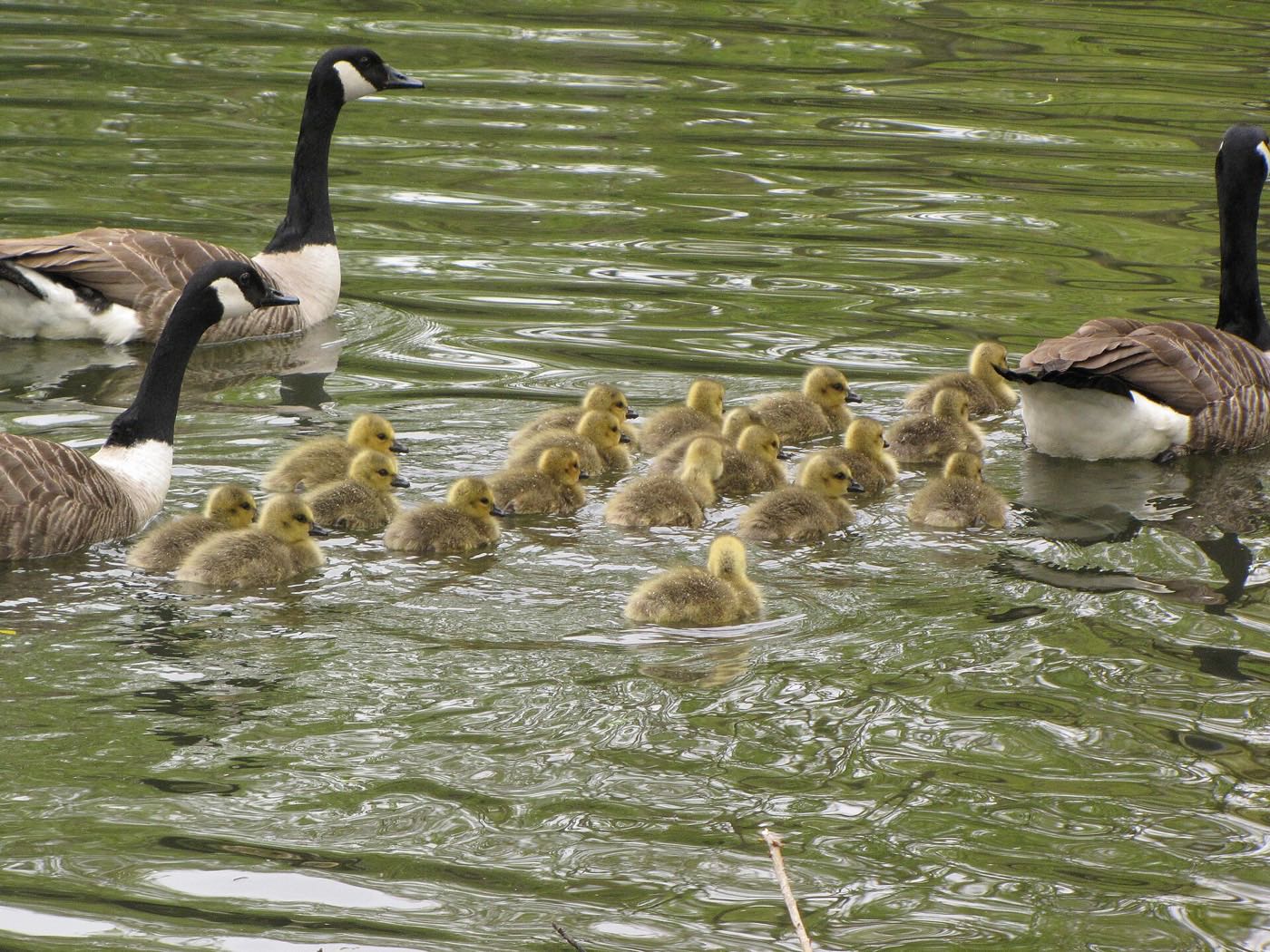
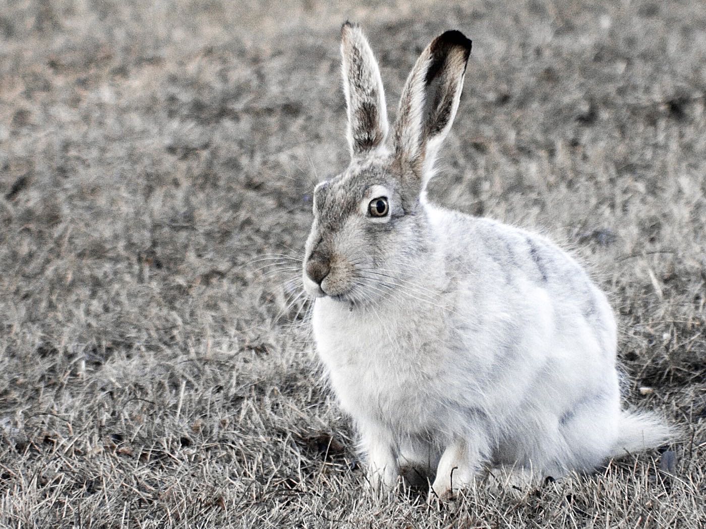
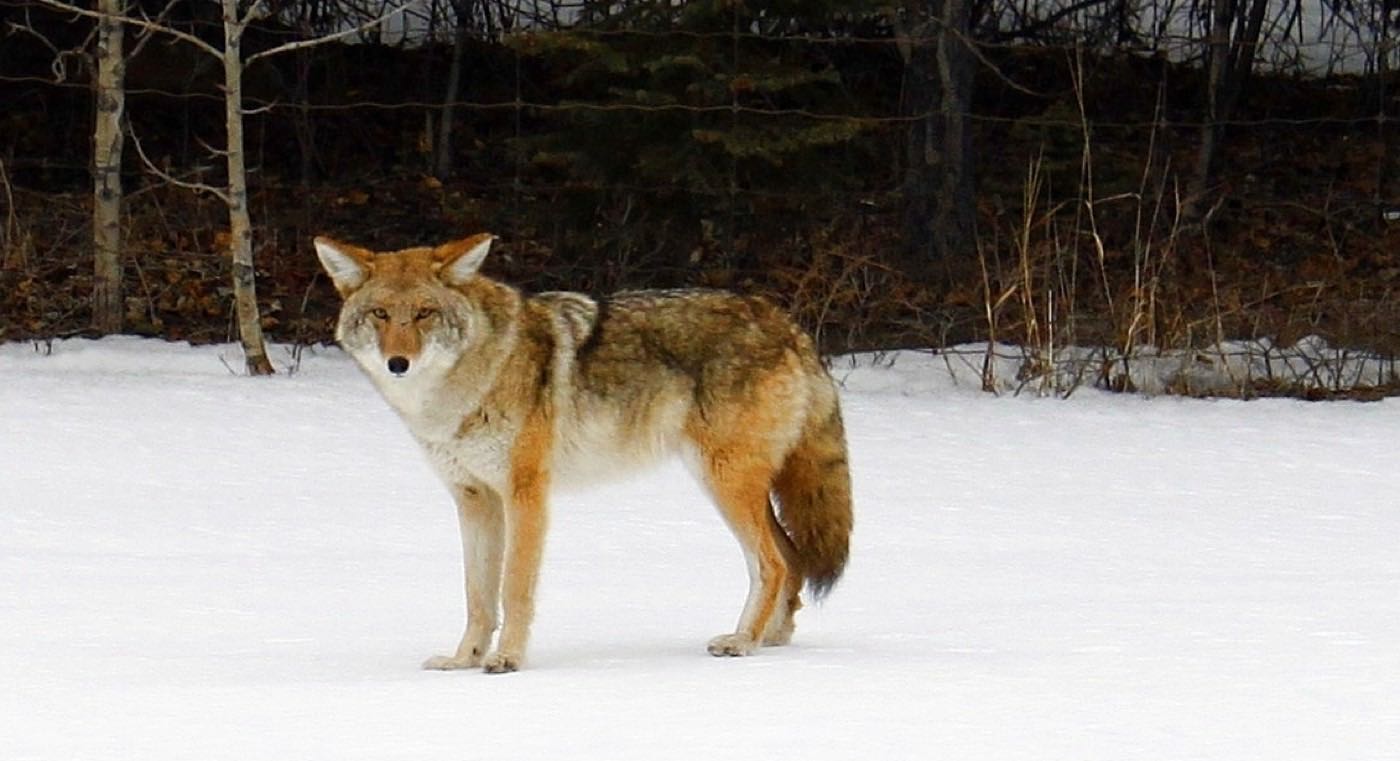
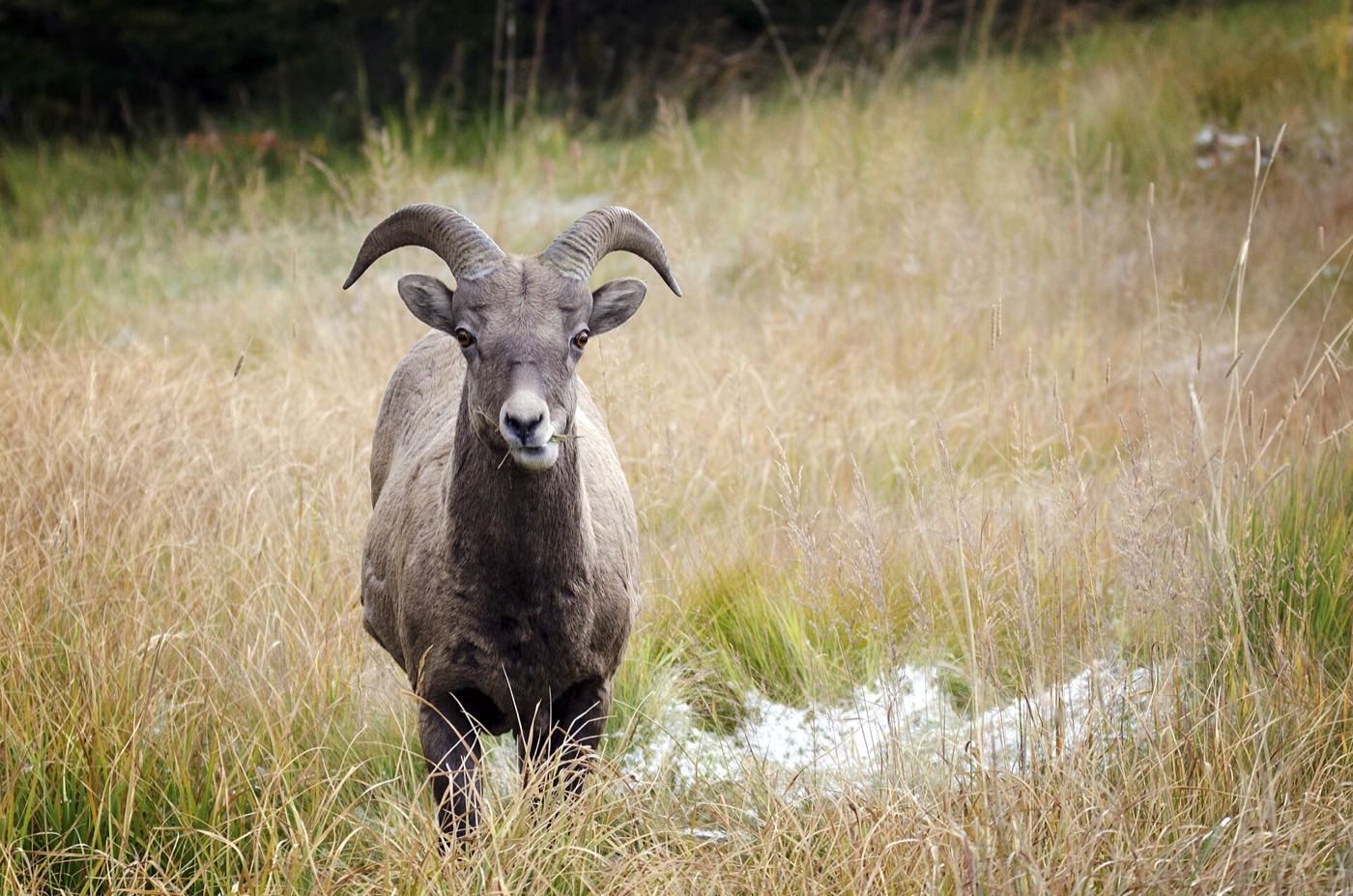
29 more photographs of Calgary and the region
Drawn from the site's shared, freely licensed Calgary photo library, not photographs of Lakeview itself. Filter by category.
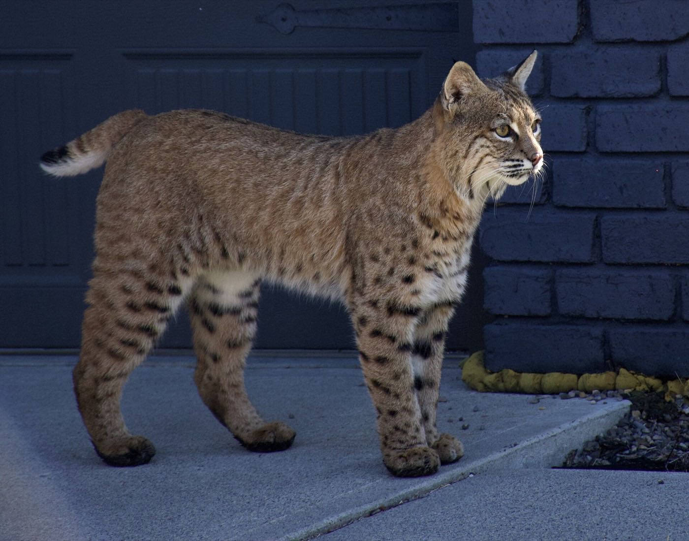
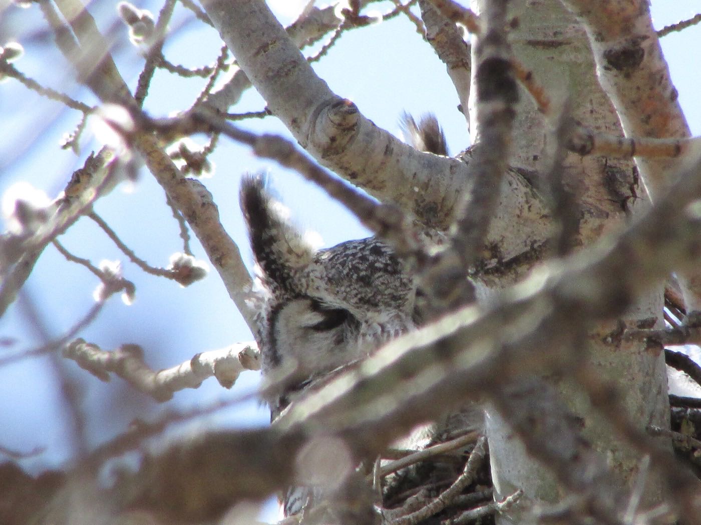
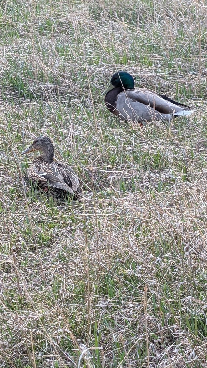

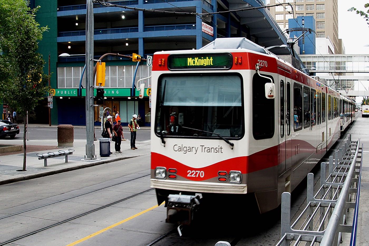
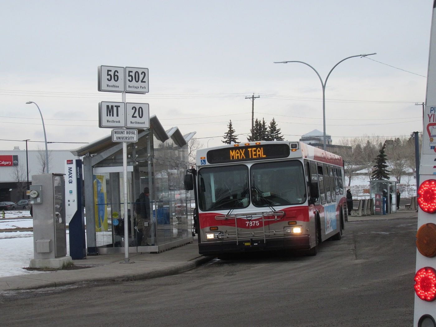
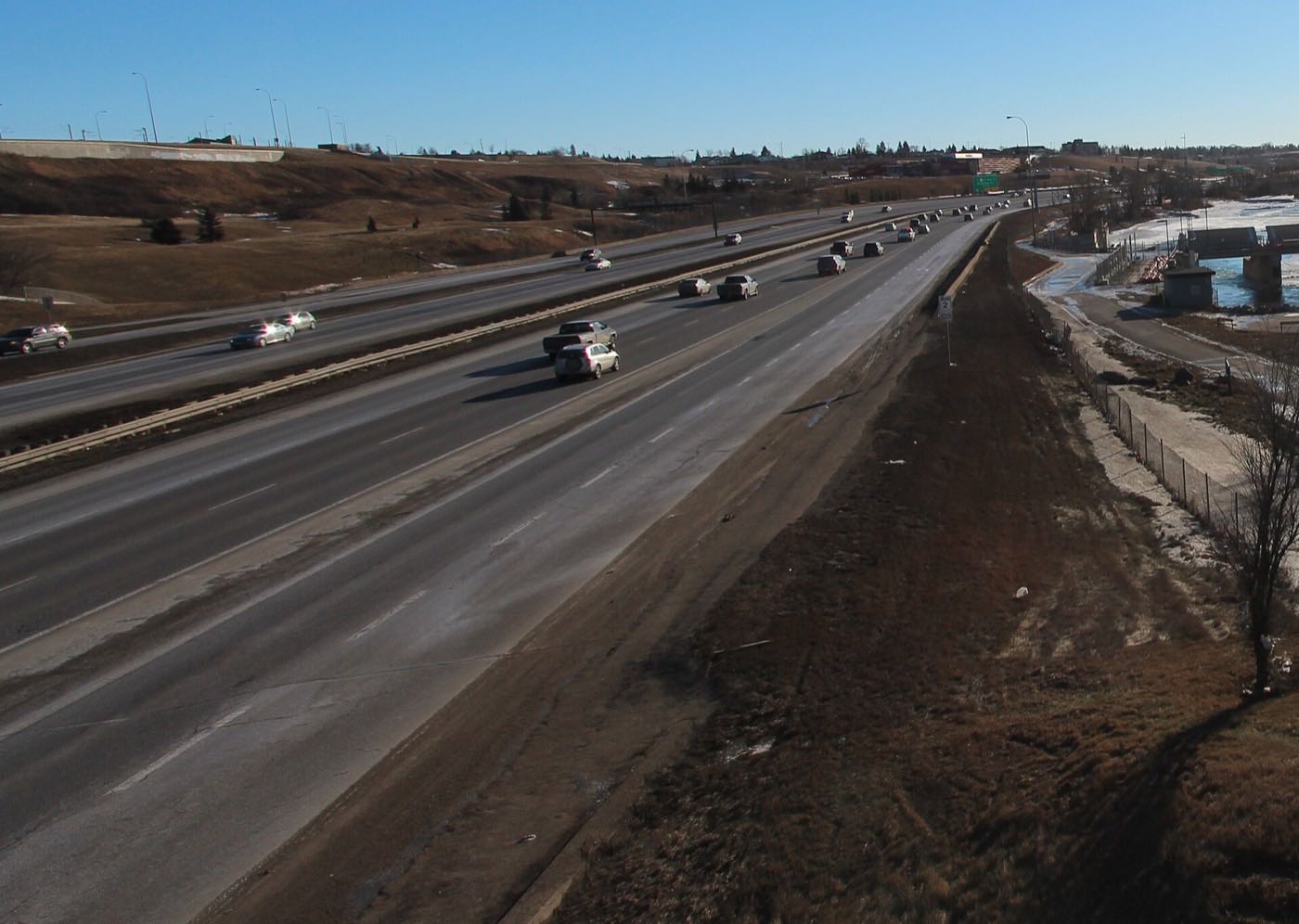

Showing 1–12 of 29 photographs.
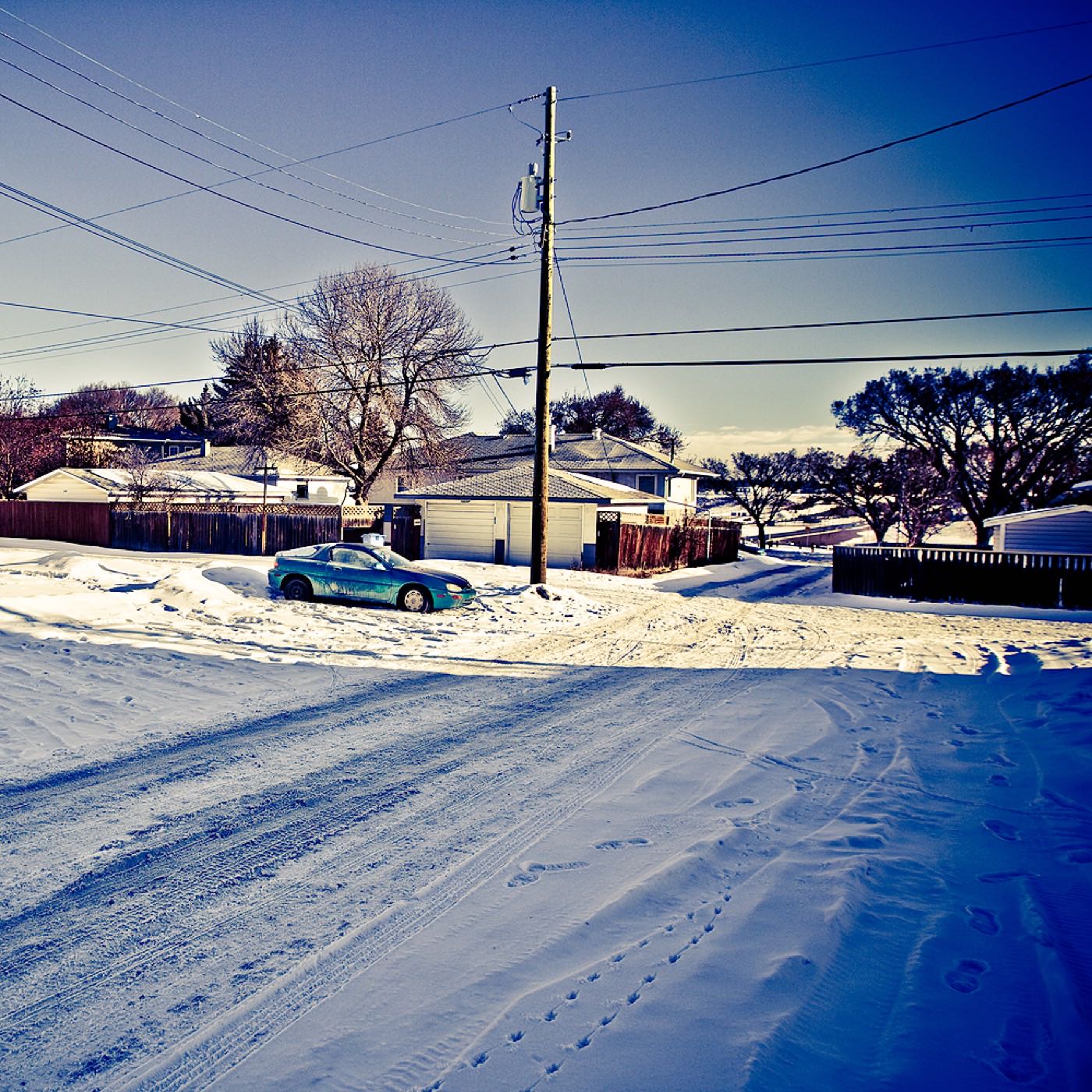
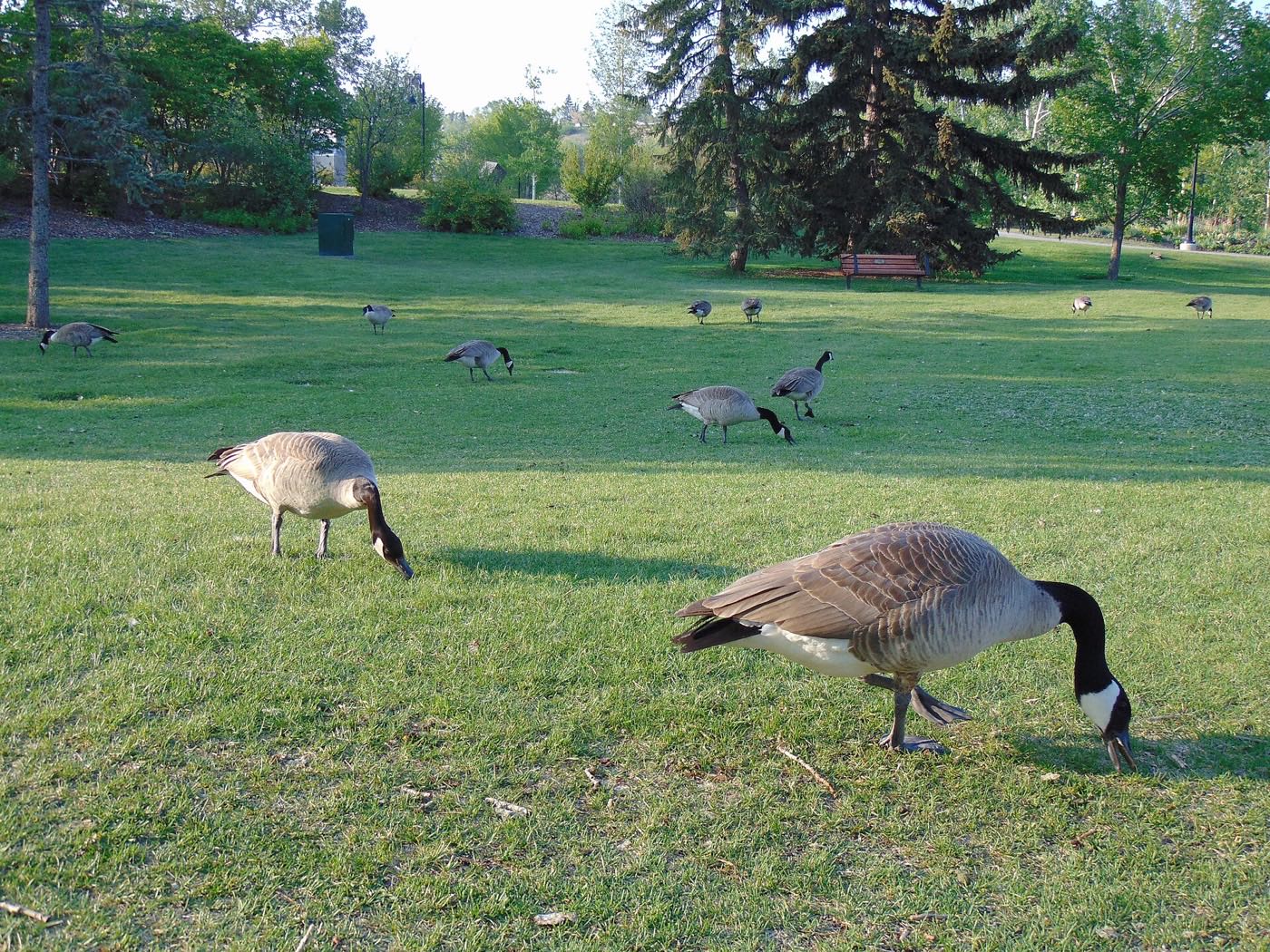
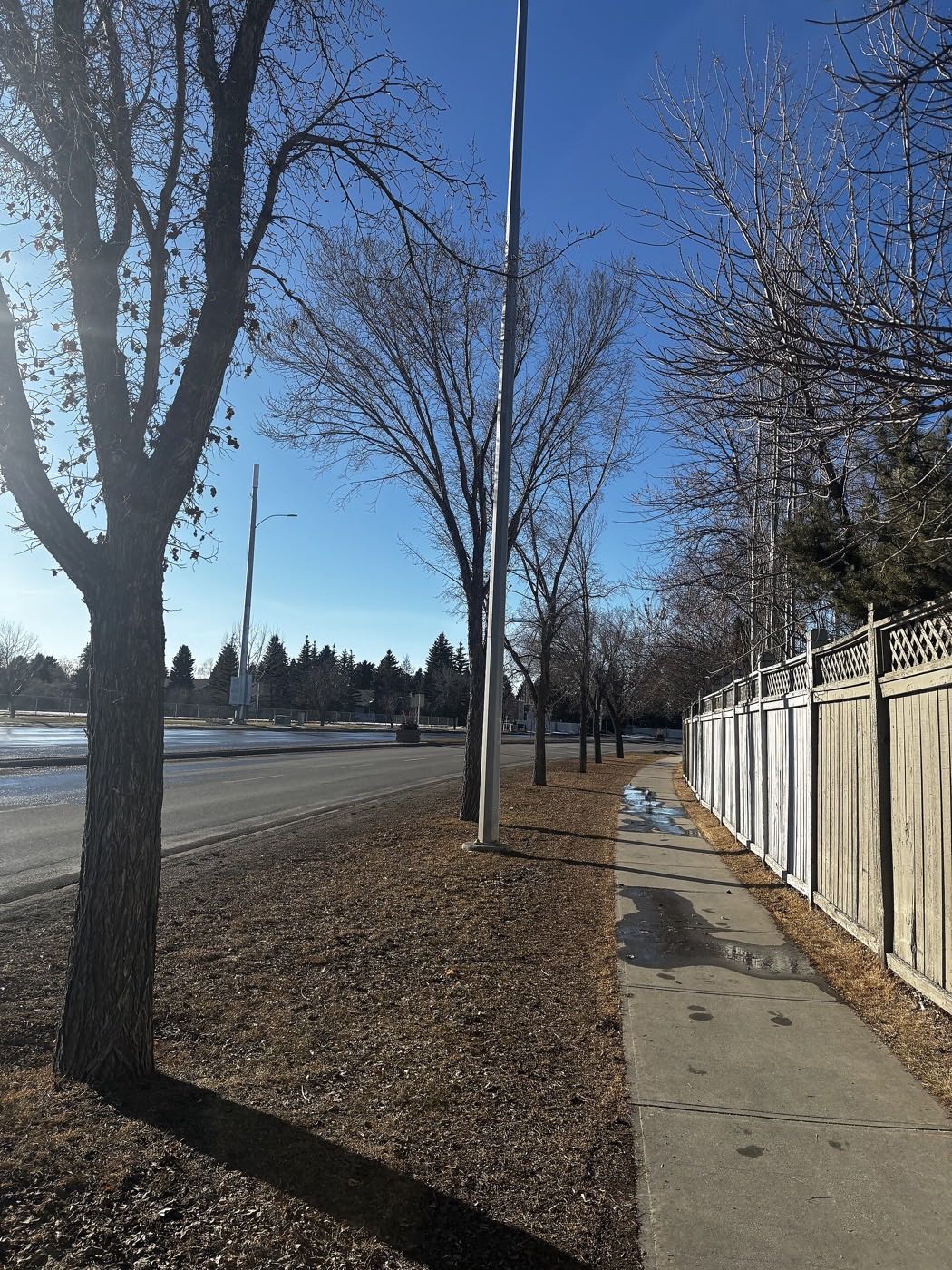
Honesty note. This page uses only the general Calgary, seasonal, Alberta-wildlife and day-trip photography from the site's shared library. Nothing here is presented as a photograph of Lakeview itself.