Live in Bridlewood
A 1997 subdivision at the city's southern edge, Spruce Meadows on one side and Stoney Trail on the other.
Bridlewood covers 3.2 km² north of Stoney Trail and south of Evergreen, established in 1997: 12,545 residents in 4,130 private households at the 2021 census. Households here average 3 persons against the city's 2.6, and 21% of residents are under 15 against 18% citywide. Spruce Meadows, the show jumping venue the Southern family opened in 1975, sits adjacent in Foothills County.
New-build streets against the city line, with a show jumping arena on the far side
North of Stoney Trail SW and south of Evergreen, in Calgary's southwest. Spruce Meadows sits adjacent, over the city line in Foothills County. Ward 13, in the City's South sector.
Bridlewood was established in 1997, north of Stoney Trail and south of Evergreen: 3.2 km², 12,545 residents in 4,130 private households at the 2021 census. Households average 3 persons against the city's 2.6, and 21% of residents are under 15 against 18% citywide. It is a young community by the numbers, not by reputation.
Spruce Meadows, the international show jumping grounds the Southern family opened in 1975, sits adjacent. It is not in Calgary: Wikipedia places it in Foothills County, once several kilometres outside the city and now backing onto Bridlewood and Somerset. The Masters runs each September.
90% of the occupied stock was built between 1991 and 2010 and 68% of it is single-detached. Renters are 19% of households against 31% citywide, and median household income was $105,000 in 2020 against $98,000 for Calgary. The trade is distance: 46% of employed residents commute 30 minutes or more, against 32% across the city.
- 46% of employed residents commute 30 minutes or more, against 32% citywide. Confirm your actual commute before buying
- Stoney Trail and Macleod Trail both carry heavy weekday traffic
- Spruce Meadows runs six outdoor tournaments a year, the Masters each September. Expect the roads around the grounds to fill
- 47% of residents are immigrants, against 33% citywide, and a third arrived between 2001 and 2010. The community grew up around that
How Bridlewood got here
- 1975Spruce Meadows opens after two years of construction, built and owned by the Southern family, on land in Foothills County that Bridlewood would later back onto.
- 1980Glenmore Christian Academy is founded as a ministry of First Alliance Church. It now sits at 16520 24 Street SW, inside the community.
- 1997Bridlewood is established, north of Stoney Trail and south of Evergreen.
- 2004Somerset-Bridlewood station opens on June 28 as the Red Line's southern terminus, 16.9 km from City Hall.
- 2021The census counts 12,545 residents in 4,130 private households. 90% of the occupied stock was built between 1991 and 2010, and 47% of residents are immigrants against 33% citywide.

An arena on one side, a provincial park a short drive away
Spruce Meadows opened in 1975 after two years of construction and sits adjacent, in Foothills County: six outdoor tournaments a year, the Summer Series through June and July and the Masters in September, plus eight indoor Nakoda Series events. Fish Creek Provincial Park carries the serious pathway network, with a Central Corridor Pathway of about 19 km and the Sikome aquatic facility at its eastern end.
What the map does not show: the Masters each September is the annual event that fills every road around the grounds. This guide used to describe a Bridlewood Creek Wetland on the eastern edge; neither Wikipedia nor the City's own community page carries it, so it is no longer stated here.
Elsewhere in Calgary, not Bridlewood



11 places, with real drive times
Road-adjusted distance and drive time from the centre of the community to each destination, nearest first. Filter by category.
Showing 1–11 of 11 places, nearest first.
Method: distances and drive times are estimated from the centre of the community to each destination using Calgary's road grid, and are rounded to honest ranges rather than presented as precise figures. The far-south location is the trade-off this list makes visible.
Every gym within reach
The Shawnessy YMCA north of the community is the anchor, and Fish Creek Provincial Park is the free option. Confirm hours before you count on anything.
- It is part of the South Fish Creek Complex, which also holds a Calgary Public Library branch, community ice arenas and a high school
- Child minding and a child care centre are on site, which matters in a community where 21% of residents are under 15
- Fish Creek Provincial Park is the serious trail-running option, with about 19 km of Central Corridor Pathway
- The Shawnessy retail node carries commercial clubs, but this guide confirmed none of them against a publisher
| Facility | What it is | Drive |
|---|---|---|
| YMCA Shawnessy open | 25 m lane pool, leisure pool, hot tub, gymnasium, strength and cardio, a climbing wall and child care at 400-333 Shawville Blvd SE. | 6–10 min |
| Fish Creek Provincial Park pathways open | Free option: the park's 19 km Central Corridor Pathway and its side trails. | 6–9 min |
The park does the free work. The paid options are for water, weights and winter.
Three schools inside the community, one of them independent
The Calgary Board of Education runs Bridlewood School, K to 6, which Wikipedia still calls Bridlewood Elementary. Wikipedia also places Monsignor J.J. O'Brien, Catholic K to 9, inside the community. Glenmore Christian Academy at 16520 24 Street SW is independent, founded in 1980 as a ministry of First Alliance Church, and runs junior kindergarten through high school rather than the K to 9 Wikipedia gives it.
| School | Board | Note |
|---|---|---|
| Bridlewood School | Calgary Board of Education | Public K to 6 inside the community. Wikipedia calls it Bridlewood Elementary; the board's own site calls it Bridlewood School. |
| Monsignor J.J. O'Brien School | Calgary Catholic School District | The Catholic K to 9 school Wikipedia places inside the community. The district's site refuses automated clients, so nothing here was read from it. |
| Glenmore Christian Academy | Independent | Independent Christian school at 16520 24 Street SW, junior kindergarten through high school, founded in 1980 as a ministry of First Alliance Church. |
| Junior and senior high designations | Both public boards | Neither board publishes an attendance area on the school pages read for this guide. Confirm the current designation for a specific address before you buy. |
Alberta funds Catholic education the same way it funds public education, so there is no tuition for a resident student at either board. Glenmore Christian Academy is independent and charges fees. Confirm the designation for a specific address before you buy: neither board publishes an attendance area on the pages read for this guide, and the Calgary Catholic School District's site refuses automated clients.
Month by month, what living here looks like
Not a highlights reel: the actual annual rhythm, including the dates residents have to remember.
- Wind off the open land along Stoney Trail makes Bridlewood's coldest mornings feel worse than the thermometer says
- Bridlewood Creek Wetland freezes into a quiet loop, though the exposed south end stays wind-scoured
- Morning drop-off traffic runs heavier here than most southwest communities, a side effect of household sizes averaging 3 against the city's 2.6
- Spruce Meadows sits dark and empty through the off-season, its show rings under snow
- A chinook off Stoney Trail can clear the wetland pathway's snowpack in an afternoon
- The wetland's ice holds longest on its sheltered north corner, away from the wind
- Bridlewood's street trees, most planted since the 1997 subdivision went in, still show their stakes against the wind
- Drop-off lines at Bridlewood Elementary run longer than most schools, with more siblings per household on average
- Freeze-thaw cycles are harder on Bridlewood's newer driveways than on the older subdivisions further north
- The wetland pathway reopens as its ice clears, though meltwater pools on the low south end
- Spruce Meadows' groundskeepers begin prepping the international rings for the June season
- Wind off Stoney Trail carries the last of winter's road grit onto the sidewalks
- Bridlewood Creek Wetland fills with migrating waterfowl working the reeds
- Spruce Meadows posts its June tournament dates as the rings dry out
- Young street trees along Bridlewood's crescents are still thin enough that April wind moves them visibly
- Minor sports registration fills fast given how many households here run three or more
- Spruce Meadows Way sees early spectator traffic building ahead of June's Continental tournament
- The wetland pathway is at its greenest, thick with new reed growth on both banks
- Wind off the open land south of Stoney Trail is sharper here than in communities further from the city's edge
- New-build lawns along Bridlewood's crescents are still filling in nearly three decades on
- Spruce Meadows opens its summer series with the Continental and National tournaments, drawing show jumping crowds down Spruce Meadows Way
- School lets out and the wetland pathway fills with kids on bikes all afternoon
- Household sizes averaging 3 against the city's 2.6 mean Bridlewood's parks and playgrounds stay busier into the evening
- Wind off Stoney Trail is sharp enough on the exposed south end that evening walkers stick to the wetland's treed side
- Spruce Meadows' North American tournament runs the first week of July, part of the Rolex-backed summer series
- Stampede traffic means a longer haul north from this far a southern address
- The wetland's cattails are at full height, screening most of the pathway from the road
- Exposed at the city's southern edge, Bridlewood catches more of any afternoon wind than communities further north
- Spruce Meadows sits quiet between its summer tournaments and the September Masters, its grandstands empty
- The wetland pathway gets its last heavy use before the school year resets the schedule
- Kananaskis is the closer summer trip, straight down Highway 22 past Spruce Meadows
- Bridlewood's larger households mean back-to-school shopping runs across more kids per family than the city average
- Spruce Meadows' Masters tournament draws international show jumping fields to the community's own doorstep, usually the second week of the month
- School mornings run heavier here than most, with more siblings sharing the same walk to Bridlewood Elementary
- The wetland grasses turn gold and the first flocks stage before heading south
- Stoney Trail's morning commute thickens as Masters traffic overlaps with the school run
- Spruce Meadows closes its outdoor season once the Masters crowds clear out
- Poplar colour peaks along the wetland edge before the young street trees elsewhere in Bridlewood catch up
- Wind off Stoney Trail strips leaves from the newer trees faster than in more sheltered communities
- First snow is normal here and usually melts within a day or two
- Spruce Meadows sits closed and quiet, its grounds visible from the wetland pathway's south end
- Wind exposure at the city's southern edge makes Bridlewood's first real cold snap feel sharper than the forecast
- The wetland ices over first on its sheltered corners, later on the open south stretch
- Holiday retail season starts at Shawnessy Towne Centre
- A chinook clears Stoney Trail's shoulder snow in Bridlewood faster than in more sheltered communities to the north
- The wetland pathway becomes the neighbourhood's quiet winter walk, ice permitting
- Bridlewood's young street trees, planted since 1997, still need staking against the winter wind
- Larger households here mean the holiday break brings heavier traffic to the wetland pathway and school playgrounds alike
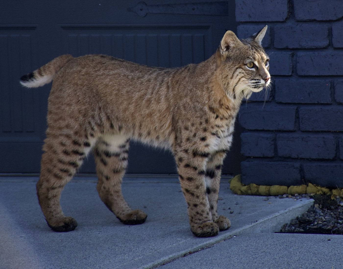
30 more photographs of Calgary and the region
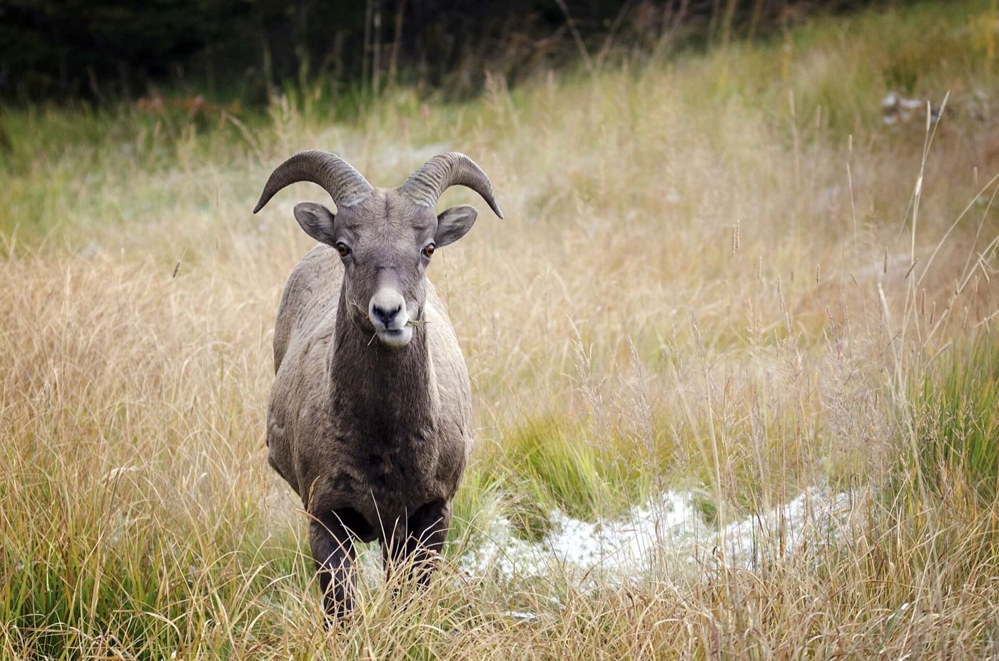
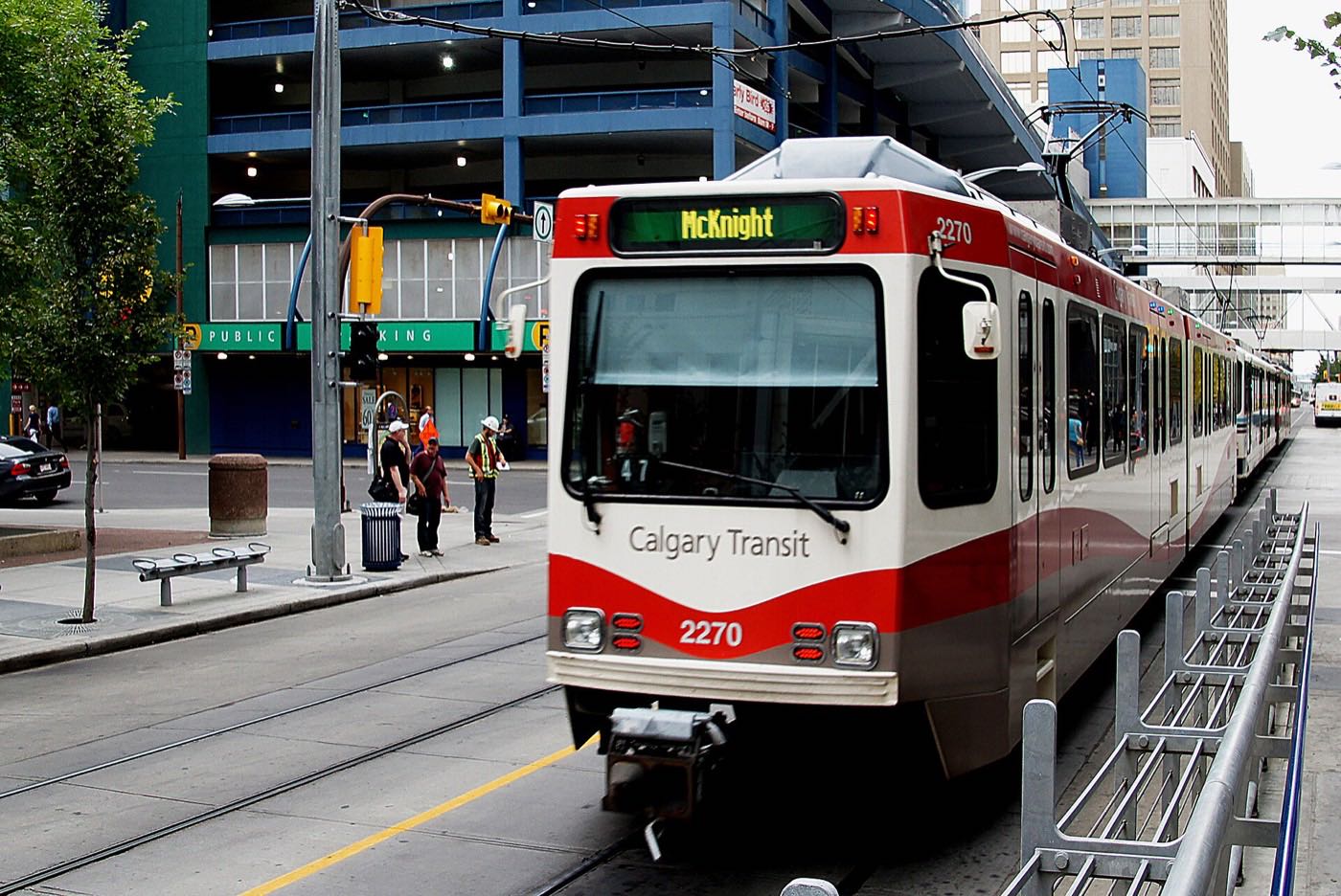
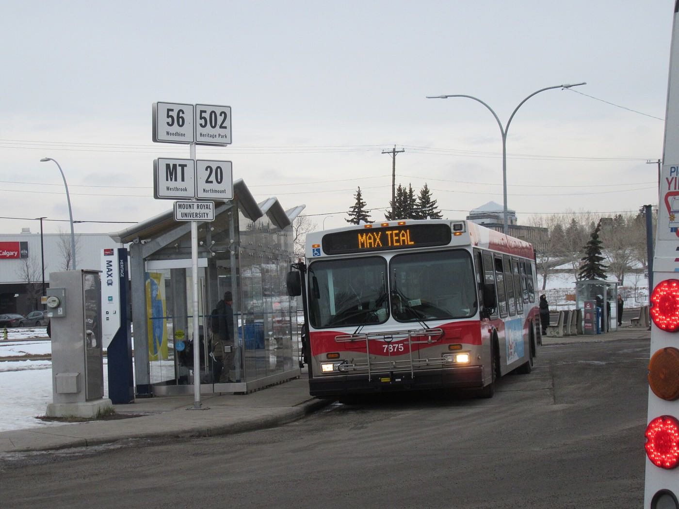
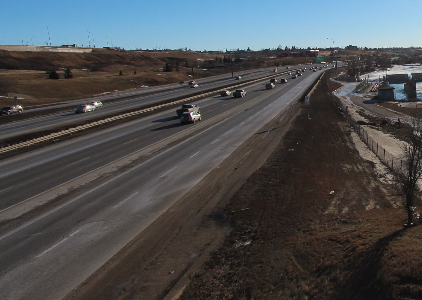
Drawn from the site's shared, freely licensed Calgary photo library, not photographs of Bridlewood itself. Filter by category.
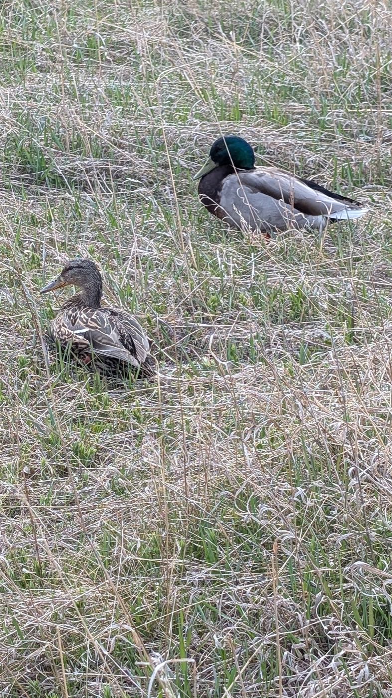
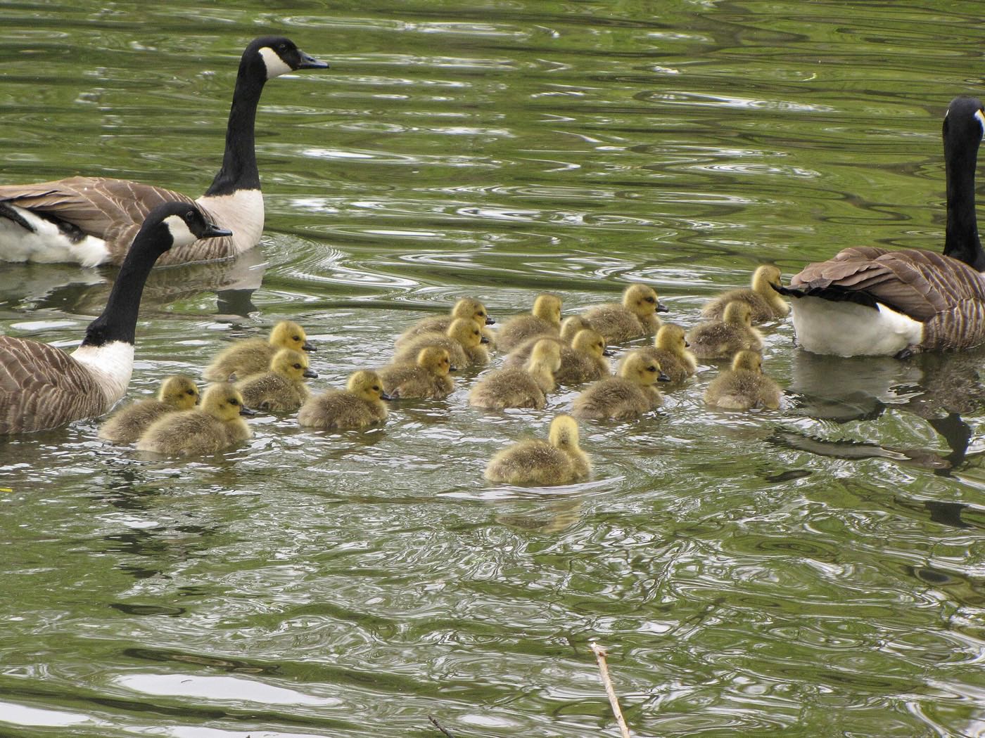

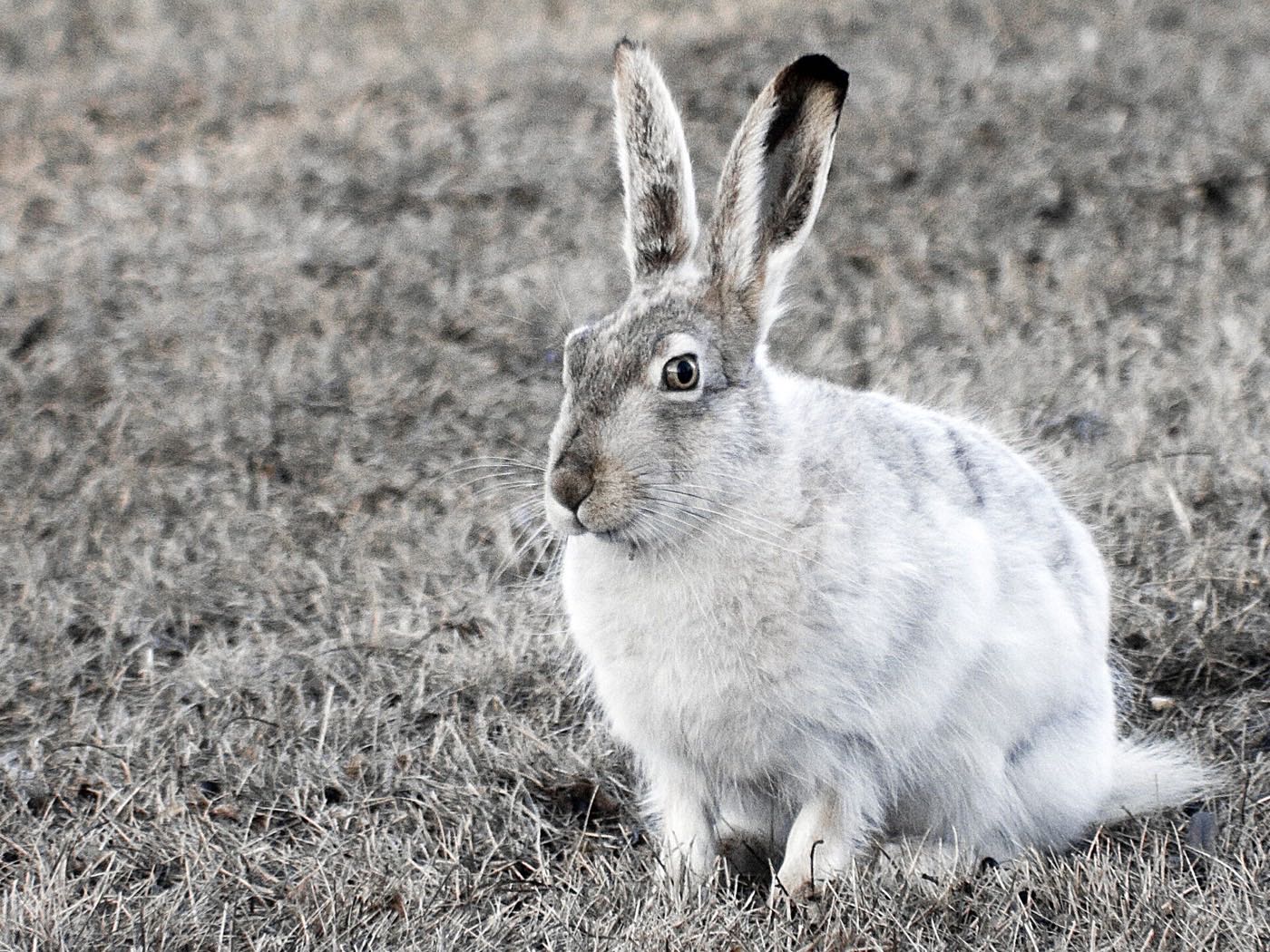
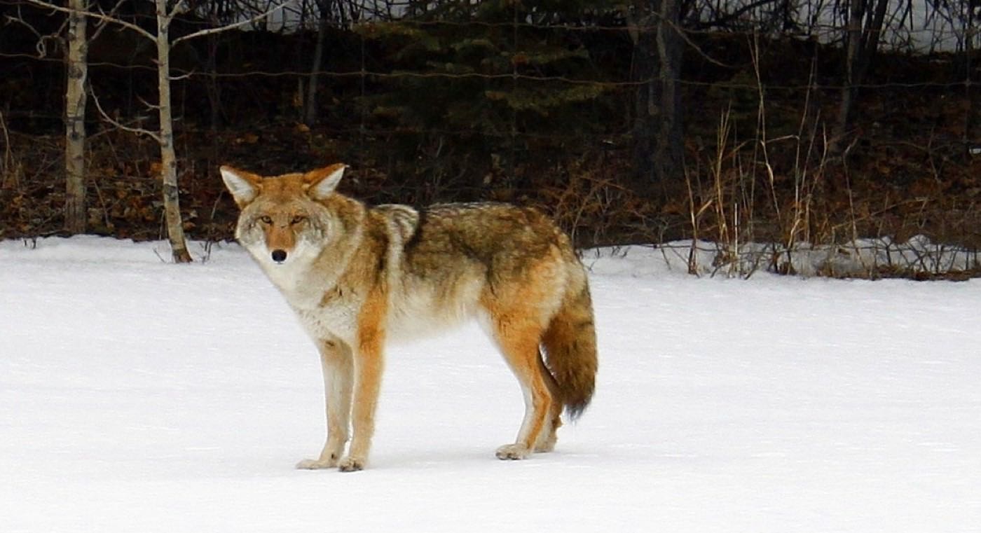

Showing 1–12 of 30 photographs.
Honesty note. This page uses only the general Calgary, seasonal, Alberta-wildlife and day-trip photography from the site's shared library. Nothing here is presented as a photograph of Bridlewood itself.