
Live in Patterson
A 1983 escarpment community on Broadcast Hill, where two thirds of the homes are row houses and low-rise apartments rather than detached houses.
Patterson was annexed to the city in 1956 and established as a neighbourhood in 1983, on the plateau the 250 m CFCN re-transmission tower made known as Broadcast Hill: 2.0 km², 4,145 residents in 1,905 private households at the 2021 census, with 29% of households renting. The 1988 Winter Olympics housed its Broadcast Hill Media Village in Patterson Heights, though no publisher we could open says what became of those buildings. What the census does say is that this is not a detached-house community: 33% of the occupied dwellings are row houses, 29% are apartments in buildings under five storeys and 29% are single-detached, and 82% of the stock went up between 1981 and 2000. Steep, view-oriented lots along the escarpment above Edworthy Park sit next to that attached stock, and the two markets barely resemble each other.
A 1983 escarpment community still shaped by its Olympic year
Bounded by Sarcee Trail to the north and east, the Bow Trail extension to the south, and 69 Street SW to the west, the boundaries the Coach Hill / Patterson Heights Community Association gives. Ward 6.
The land was annexed to the city in 1956, known then as Broadcast Hill for its 250 m CFCN re-transmission tower. Patterson was established as a neighbourhood in 1983: 2.0 km², 4,145 residents in 1,905 private households at the 2021 census, and a median household income of $93,000 in 2020, just under the city's $98,000.
The Olympic year. In 1988, the Broadcast Hill Media Village housed press for the XV Olympic Winter Games in Patterson Heights. What became of those buildings afterward is a claim we could not source: neither Wikipedia nor the community association records it. What the census does record is the shape of the stock that stands here now. 33% row houses, 29% apartments in buildings under five storeys and 29% single-detached, with 82% of it built between 1981 and 2000, and 29% of households renting against 31% citywide.
The two markets. Steep, view-oriented lots run along the escarpment above Edworthy Park, close to the old CFCN tower site, with sweeping views over the Bow Valley and downtown. That stock sits next to the attached blocks, and the two barely resemble each other: this is not a single, coherent housing market the way some of its neighbours are. It is also an older community than its build dates suggest, with 23% of residents 65 or over against 13% citywide, and 35% of households one person.

- 82% of the occupied stock was built between 1981 and 2000, so the attached blocks are thirty to forty-five years old. Check the reserve fund and any special assessments
- Steep escarpment driveways ice over first and clear last; confirm winter access for a specific address
- Only 29% of the dwellings are single-detached houses. Row houses and low-rise apartments are the majority here
- No school sits inside Patterson, and neither Ernest Manning nor Central Memorial lists it among the communities it serves. Confirm the designation before you buy
- 11% of employed residents take transit, above the city's 9%, and the Blue Line's 69 Street terminus is most of the reason
How Patterson got here
- 1956The land is annexed to the City of Calgary. The plateau is known as Broadcast Hill for its 250 m CFCN re-transmission tower.
- 1979The Coach Hill / Patterson Heights Community Association is registered on 18 January. It owns no hall; its community centre sits along Old Banff Coach Road with a playground, soccer pitches, a baseball diamond and an outdoor rink.
- 1983Patterson is established as a neighbourhood. Patterson Heights develops through the 1980s on what had been individual acreages.
- 1988The Broadcast Hill Media Village houses press for the XV Olympic Winter Games in Patterson Heights. No publisher we could open records what happened to the buildings afterward.
- 1981–2000Eighty-two per cent of the community's occupied dwellings are built in these twenty years: 31% in the 1980s and 51% in the 1990s.
- 201269 Street station opens on 10 December as the western terminus of the Blue Line, 8.2 km west of the 7 Avenue and 9 Street SW interlocking, with park and ride for 840 vehicles.
- 2021The federal census records 4,145 residents in 1,905 private households, 29% of them renting, and a median household income of $93,000 in 2020.

A view, not a park, but a real one
Patterson has no named park of its own. What it has instead is the escarpment viewpoint above Edworthy Park: the former Broadcast Hill site, with sweeping views over the Bow Valley and downtown, and the park's trail network reachable below.
What the map does not show: the view is the actual amenity here, not a lawn or a playground: it is free, immediate, and the single most-repeated reason people give for buying on this ridge.
Elsewhere in Calgary, not Patterson

13 places, with real drive times
Road-adjusted distance and drive time from the centre of the community to each destination, nearest first. Filter by category.
Showing 1–12 of 13 places, nearest first.
Method: distances and drive times are estimated from the centre of the community to each destination using Calgary's road grid, and are rounded to honest ranges rather than presented as precise figures. The 69 Street terminus and Westside Recreation Centre sit close enough to be genuinely convenient for most of the community.
Every gym within reach
Westside Recreation Centre near the 69 Street terminus is the real anchor, with WinSport a short drive north across the river.
- It is on neither the City's pools list nor its arenas list, and its own site refuses automated clients, so what it offers could not be verified here
- Canada Olympic Park adds WinSport's ski and snowboard hill, ice arenas and the Markin MacPhail training centre across the river. Its bobsleigh and luge track is decommissioned
- Signal Hill and Westhills carry a cluster of commercial gyms nearby
- The escarpment viewpoint trail is the free option, straight off the community's own edge
| Facility | What it is | Drive |
|---|---|---|
| Westside Recreation Centre open | Near the 69 Street terminus. It appears on neither the City's pools list nor its arenas list, and its own site refuses automated clients, so what it offers is unverified here. | 6–10 min |
| Canada Olympic Park (WinSport) open | Ski and snowboard hill, ice arenas and the Markin MacPhail Centre high-performance training hub, run by WinSport. | 6–10 min |
| Escarpment viewpoint pathway open | Free option: the viewpoint trail along the community's own northern edge. | 1–2 min |
| Signal Hill & Westhills district clubs open | Commercial gyms around the two shopping centres. | 9–13 min |
The viewpoint trail does the daily work. The paid options here are for water, ice and weights.
No school inside the community: every family designates out
Patterson has no school of its own. Olympic Heights School, a Calgary Board of Education school in neighbouring Strathcona Park, is the nearest. Ambrose University, a private Christian university at 150 Ambrose Circle SW, and Rundle, an independent day school running kindergarten to grade 12, sit close by.
| School | Board | Note |
|---|---|---|
| No school inside the community | Both boards | No school sits inside Patterson. Olympic Heights School, a Calgary Board of Education school in neighbouring Strathcona Park, is the nearest. Neither Ernest Manning nor Central Memorial lists Patterson among the communities it serves, and neither board publishes an attendance area we could read. Confirm the current designation for a specific address. |
| Ambrose University | Post-secondary | Private Christian university at 150 Ambrose Circle SW, near the 69 Street LRT terminus. |
| Rundle College | Independent | Independent day school running kindergarten to grade 12, west of the community. Rundle Academy, grades 4 to 12, serves students with a diagnosed learning disability. |
Alberta funds Catholic education the same way it funds public education, so there is no tuition for a resident student at either board. Confirm the current designation for a specific address: neither board publishes an attendance area we could read, and neither Ernest Manning nor Central Memorial lists Patterson among the communities it serves. Every household here does a school commute of some length.
Month by month, what living here looks like
Not a highlights reel: the actual annual rhythm, including the dates residents have to remember.
- The CFCN tower's beacon is the brightest fixed point on the escarpment through the long nights
- Row houses and low-rise blocks make up two thirds of the community, and shared heating shows in the January bills
- Steep driveways off the escarpment ice over first and clear last
- The viewpoint trail above Edworthy Park is nearly empty on the coldest mornings
- A chinook off the escarpment can clear Patterson's steep driveways in an afternoon
- The escarpment viewpoint above Edworthy Park draws walkers even on the coldest clear days
- Condo turnover notices go up as February leases wind toward spring renewal
- Rundle College's mid-winter break quiets the Old Banff Coach Road school run
- Meltwater runs hard down the escarpment's steep lots toward Edworthy Park
- The former Olympic media village condos show their age in the spring maintenance assessments
- Cleats are still the right footwear on the escarpment viewpoint trail
- 69 Street's parkade empties as Ambrose University's winter term wraps
- Escarpment lots catch the first real sun of the year, weeks before the valley floor does
- Condo boards start their spring exterior inspections on the 1980s stock
- The viewpoint trail draws its first spring walkers once the ice clears
- Ambrose University's spring term brings a lighter load to the 69 Street lot
- The Bow Valley view from the escarpment fills in green almost overnight
- Sunset past 9pm turns the viewpoint trail into an evening ritual
- Rental turnover peaks as spring leases replace winter ones across the condo stock
- Signal Hill and Westhills book out patio seating on the first warm weekends
- School lets out and the escarpment viewpoint gets its first tourist traffic of the year
- Peak daylight at the solstice lights the Bow Valley view long into the evening
- Ambrose University's summer term brings a quieter 69 Street lot
- WinSport's summer programming picks up across the river at Canada Olympic Park
- The escarpment view over downtown is Patterson's best-known asset in the long light
- Evening thunderstorms build over the foothills, visible from the viewpoint before they arrive
- 69 Street's parkade empties out for the Stampede week as commuters take time off
- Condo balconies along the ridge catch the whole evening's western sun
- Kananaskis-bound traffic on the Trans-Canada is visible from the escarpment on clear evenings
- Ambrose University's residence move-in traffic builds late in the month
- Rental turnover picks up again ahead of the fall lease season
- Westside Recreation Centre carries the last of the summer indoor programming near the LRT terminus
- Patterson's condo towers empty out as summer sublets end and September leases begin
- First frost typically settles on the exposed escarpment lots before it reaches the valley
- September lease turnover is Patterson's busiest month for moving trucks
- Ambrose's returning students and the morning commute both hit the 69 Street lot the same week
- Peak colour runs down the escarpment toward Edworthy Park
- Snow tires go on before the first real snowfall reaches the ridge
- The former Olympic village condos post their fall maintenance notices
- Rundle College's fall sports season moves indoors as the light shortens
- WinSport's ski hill opens across the river, and the CFCN tower's beacon marks the ridge each evening
- The viewpoint trail closes early as the ice sets in for the season
- Dark evenings mean Patterson's steep driveways ice over well before the commute ends
- Condo lease turnover slows as the winter market goes quiet
- A chinook arch over the Bow Valley view turns Patterson's coldest snap into an afternoon thaw
- The CFCN tower's beacon is the first light visible on the drive home in the dark
- Rinks and pools near the 69 Street terminus run holiday programming
- The escarpment viewpoint is quiet and worth having to yourself over the holidays
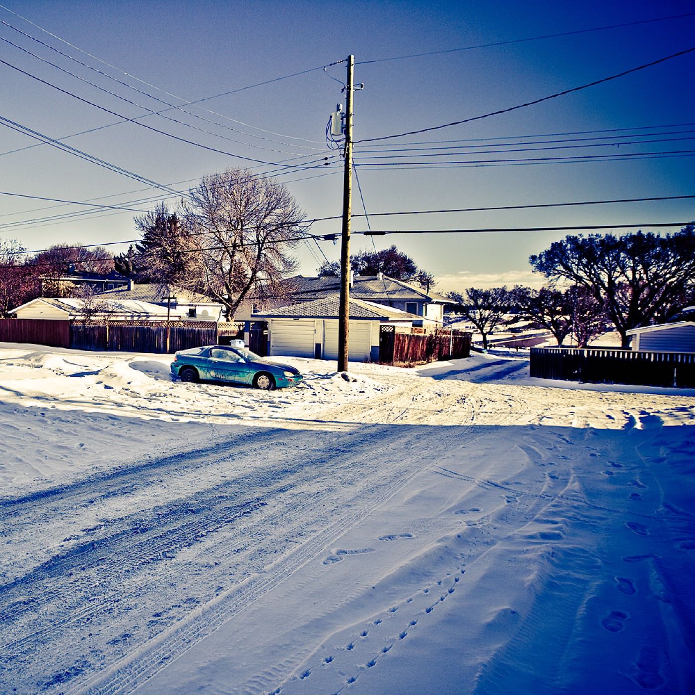
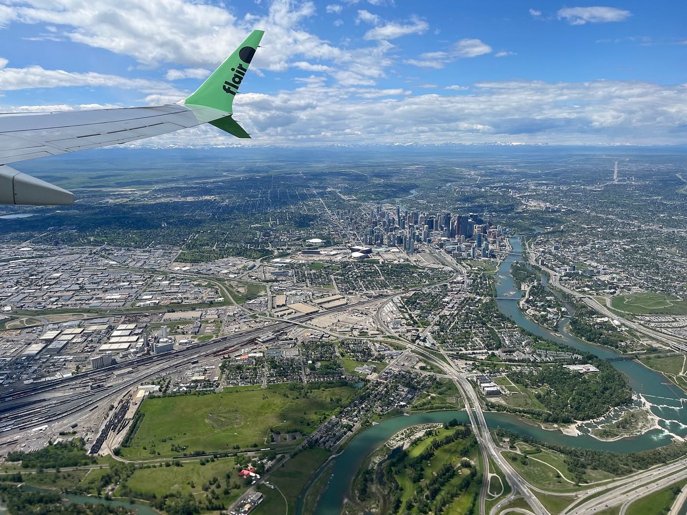
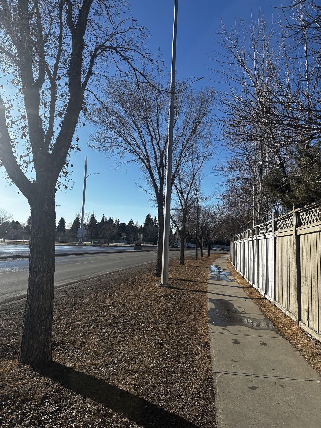
3 more photographs of the community and its surroundings
All freely licensed, via Wikimedia Commons. Filter by category.


Showing 1–3 of 3 photographs.
About these photographs. Openly licensed images geotagged in or near Patterson, found on Wikimedia Commons and served from there with full attribution. Inline photos elsewhere on the page may still come from the site's shared Calgary library.