
Live in Marda Loop
A 200-plus-business shopping district on 33 and 34 Avenues SW, not a City of Calgary community. Every address here sits in South Calgary, Altadore or Garrison Woods.
Marda Loop's Business Improvement Area was established in 1984, one of the first in Calgary, though the streetcar turnaround loop that gave the district its name has been here since 1909: today it is a walkable shopping and dining district of more than 200 shops, restaurants and services along 33 and 34 Avenues SW, not a City of Calgary community in its own right. Every address here sits inside South Calgary, Altadore or Garrison Woods, and Wikipedia has the district reaching the southeastern part of Richmond-Knob Hill as well. The wider Marda Loop Community Association area takes in Riverpark too. The honest tension is that there is no "living in Marda Loop" the way there is a living in Rosemont or an Altadore. You live in one of the neighbourhoods around it and walk to the loop for everything else.
A shopping street, not a City of Calgary community
The district centres on 33 and 34 Avenues SW between Crowchild Trail and 18 Street SW, and along Garrison Gate SW; the wider Marda Loop Community Association area is bounded by 33 Avenue, 20 Street and 26 Avenue to the north, the Elbow River to the east, 50 Avenue SW to the south and Crowchild Trail to the west, spanning South Calgary, Altadore, Garrison Woods and Riverpark. Ward 8.
Say this plainly first. Marda Loop is not one of the City of Calgary's official communities. The City publishes no figures for it at all: no census profile, no boundary polygon, no ward row. It is a Business Improvement Area, established in 1984 and one of the first in Calgary, running along 33 and 34 Avenues SW between Crowchild Trail and 18 Street SW. Every address inside its boundary sits legally in South Calgary, Altadore or Garrison Woods: three communities that each already have their own guide on this site.
The name is older than the BIA. A streetcar, later trolley bus, turnaround loop operated here from 1909, connecting downtown to the outlying streetcar suburbs, and the district takes the other half of its name from the Marda Theatre, open from 1953 to 1988 and named for Mark and Mada Jenkins, who combined their own names to make it. Today the BIA describes itself as a walkable shopping and dining district of more than 200 shops, restaurants and services, with a Safeway on 33 Avenue.
What the numbers describe. Because Marda Loop has no census of its own, the population, household and tenure figures on this page are South Calgary's: the community whose southern blocks form the strip's own frontage. 4,540 residents in 2,365 private households at the 2021 census, split 50/50 between owner and renter households, on a median household income of $87,000 in 2020 against $98,000 across Calgary. Altadore on the other side is a different place on paper: $153,000 in 2020, and 68% owner households. The numbers describe the neighbourhoods behind the shopfronts, not a population of the district itself.
The 2025 rebuild. The Marda Loop Main Streets Project was built from 2023 and was substantially complete in December 2025, more than a decade from the first strategy work. It widened sidewalks, added curb extensions and put a multi-use path on the south side of 34 Avenue. The City's own page carries two parking numbers: about 72 on-street spaces removed for the curb extensions, and an actual stall change of 15 on-street stalls with 9 proposed off-street.
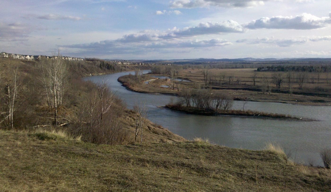
- There is no separate Marda Loop community, census profile or municipal address. You are buying in South Calgary, Altadore or Garrison Woods
- Parking on the strip is genuinely tight, and the City's own project page says about 72 on-street spaces went to the curb extensions
- Crowchild Trail on the western edge carries real commuter traffic and noise into the closest blocks
- Restaurant and retail turnover is normal on a commercial strip. Today's tenant list will not be tomorrow's
- Confirm which of the three anchor communities a specific address actually sits in before you rely on this page's numbers
How Marda Loop got here
- 1909A streetcar, later trolley bus, turnaround loop begins operating here, connecting downtown to the outlying streetcar suburbs and giving the district its name.
- 1953The Marda Theatre opens, founded by Mark and Mada Jenkins, who combined their names to make "Marda". It runs until 1988.
- 1957The Marda Loop Community Association registers on 6 September, to support this area and the broader South Calgary through the postwar growth years.
- 1984The Marda Loop Business Improvement Area is established, one of the first BIAs in Calgary.
- 1998CFB Calgary is decommissioned and the Currie married quarters east of Crowchild Trail are redeveloped by Canada Lands Company as Garrison Woods, adding houses, townhouses and condominiums beside the district.
- 2021South Calgary's federal census records 4,540 residents in 2,365 private households, split 50/50 between owner and renter households, on a median household income of $87,000 for 2020.
- 2025The Marda Loop Main Streets Project, built from 2023, is substantially complete in December after more than a decade from first strategy work.
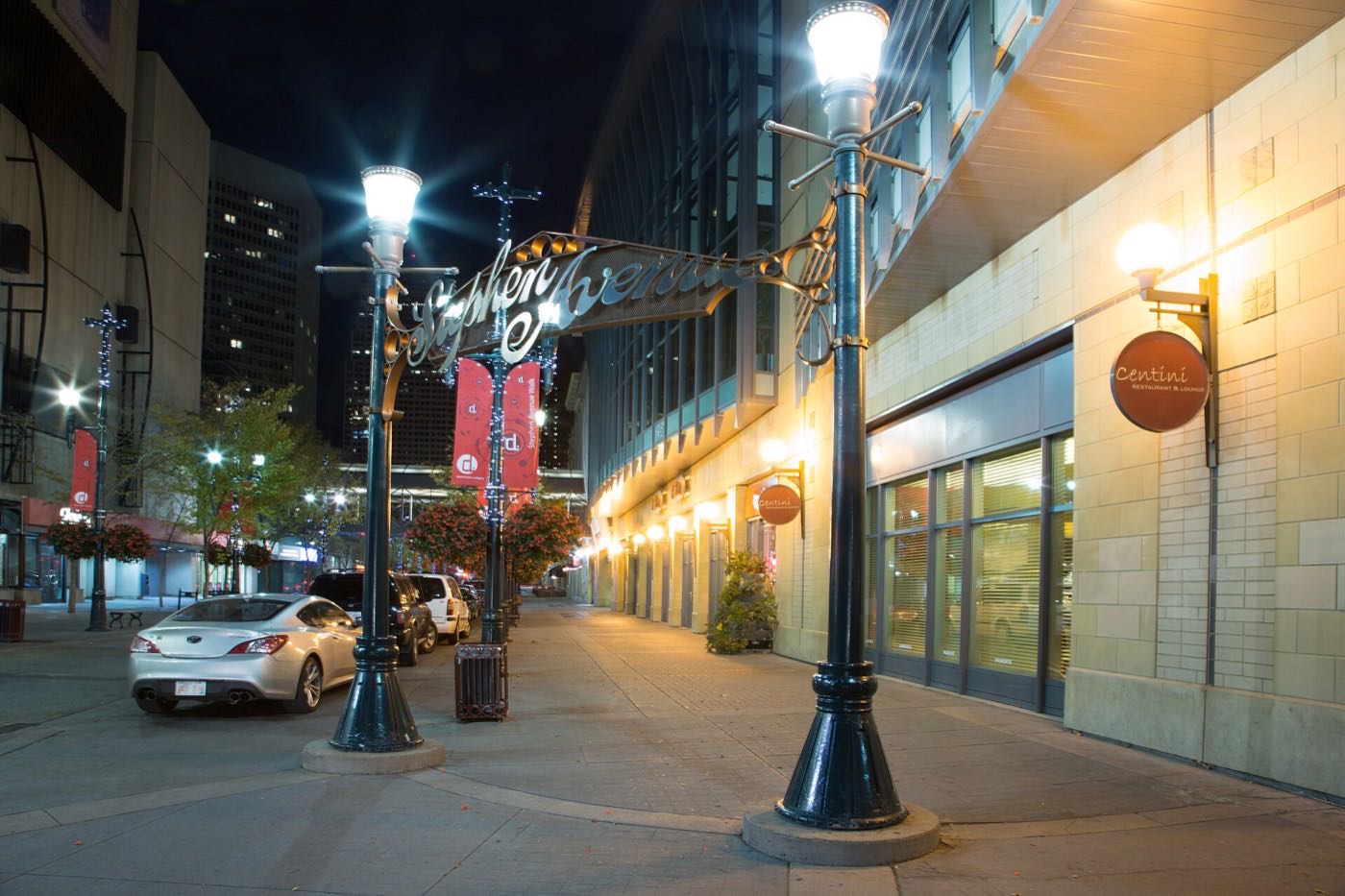
The green space belongs to the neighbours, not the strip
The strip itself has no park. The wider Marda Loop Community Association area is broader than the BIA boundary and runs east all the way to the Elbow River, taking in River Park and Sandy Beach, and the association's own tennis courts, sports fields, beach volleyball, rink and outdoor pool sit at 3130 16 Street SW, a short walk north of the shops.
What the map does not show: if you want green space with your walkable shopping street, you are relying on Altadore's or South Calgary's parks, not anything the district owns itself.
Elsewhere in Calgary, not Marda Loop
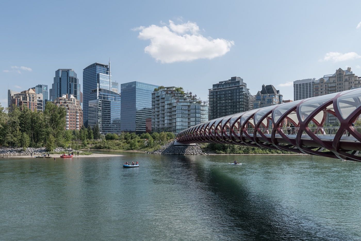
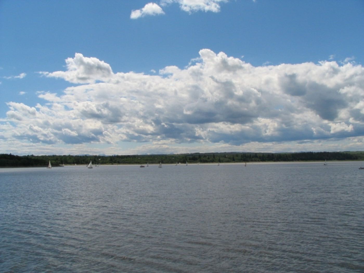


12 places, with real drive times
Road-adjusted distance and drive time from the centre of the community to each destination, nearest first. Filter by category.
Showing 1–12 of 12 places, nearest first.
Method: distances and drive times are estimated from the centre of the community to each destination using Calgary's road grid, and are rounded to honest ranges rather than presented as precise figures. Most of daily life here is a walk, not a drive: the list below reflects that.
Every gym within reach
There is no single large recreation centre on the strip itself. What Marda Loop has instead is a dense cluster of small studios, plus a seasonal outdoor pool and a major facility within ten minutes.
- South Calgary Outdoor Pool is a short walk north at 3130 16 Street SW, seasonal, reopened in July 2022 with a 25 m lane basin and a zero-entry teaching area
- River Park and Sandy Beach pathways are the free option, inside the wider association area
- MNP Community & Sport Centre, called Repsol Sport Centre until spring 2022, is the nearest large-scale facility, a short drive northeast at 2225 Macleod Trail South
- None of these sit inside the BIA boundary itself. All are in the neighbouring communities
| Facility | What it is | Drive |
|---|---|---|
| Marda Loop studios open | A dense cluster of independent yoga, pilates and small-group training studios along 33 Avenue. | 1–2 min |
| South Calgary Outdoor Pool open | Seasonal outdoor pool at 3130 16 Street SW, reopened July 2022 after a basin renovation: a 25 m lane pool and a zero-entry teaching area. | 2–3 min |
| River Park & Sandy Beach pathways open | Free option: escarpment and Elbow River pathways inside the wider association area. | 2–4 min |
| MNP Community & Sport Centre open | The city's big aquatics and athletics facility at 2225 Macleod Trail South, known as Repsol Sport Centre until spring 2022: pools, dive towers, a track and a fitness centre. | 6–9 min |
The strip is for classes, not clubs. Anyone wanting a full recreation centre is driving to MNP Community & Sport Centre. Mount Royal University publishes no recreation page this audit could open, so nothing is claimed here about public access to its campus facilities.
Designated schools belong to the surrounding communities
No elementary school sits on the strip itself. Central Memorial High School, Calgary's oldest secondary school at 5111 21 Street SW, names South Calgary, Altadore and Garrison Woods among the twenty-odd communities it draws from, and A. E. Cross School runs a Spanish bilingual program north of the district.
| School | Board | Note |
|---|---|---|
| Mount Royal University | Post-secondary | Full university campus south of the district. The university publishes no openable recreation page, so nothing is claimed here about public memberships. |
| A. E. Cross School | Calgary Board of Education | Public junior high north of the district, running a Spanish bilingual program. Its own page prints no grade range and no attendance area, so treat any designation as unconfirmed. |
| Central Memorial High School | Calgary Board of Education | Calgary's oldest secondary school, established 1888 at 5111 21 Street SW, grades 10 to 12, enrolment 1,575 in 2021. It draws from South Calgary, Altadore and Garrison Woods among more than twenty communities. |
| Designated elementary | Calgary Board of Education | No elementary school sits on the strip. Nothing the board publishes prints an attendance area, so confirm the current designation for a specific address. |
| Designated Catholic schools | Calgary Catholic School District | No Catholic school sits inside the district, and the district's own site refuses automated clients, so nothing here was read from it. Confirm the designation for a specific address. |
Alberta funds Catholic education the same way it funds public education, so there is no tuition for a resident student at either board. Confirm the designation for a specific address before you buy: since the district spans three separate communities, the designated school for a given address depends entirely on which one it legally sits in, and no CBE school page prints an attendance area.
Month by month, what living here looks like
Not a highlights reel: the actual annual rhythm, including the dates residents have to remember.
- The strip's restaurant patios come down, and 33 Avenue's dinner trade moves entirely indoors
- Safeway's parking lot is the busiest stretch of pavement in the district on the coldest mornings
- South Calgary Outdoor Pool sits drained and fenced until spring
- The rebuilt sidewalks from the Main Streets Project get their first full winter of plowing
- A chinook can clear the 33 Avenue sidewalks to bare concrete in an afternoon
- The Marda Loop studios' yoga and pilates classes run at their fullest of the winter
- The coldest week of the year often lands here rather than in January
- Crowchild Trail traffic noise carries further into the district on bare February days
- Meltwater runs off the strip's rebuilt curb extensions into the storm drains
- Cleats are the right footwear on the shaded stretch of 34 Avenue
- Renovation-era infill construction restarts on the residential blocks ringing the strip
- The district's restaurants start testing patio furniture on the first mild afternoons
- Patios expand block by block along 33 and 34 Avenues as the weather turns
- The Giuffre Family Library's spring programming fills its meeting rooms nearby
- Garden centres open along Macleod and Glenmore, a short drive south
- Last hard frosts pass before the strip's outdoor seating fills for good
- South Calgary Outdoor Pool crews begin the seasonal fill and chemical balance a short walk north
- Street-festival planning ramps up for the second Sunday in August, the Marda Gras date
- Long evenings put Crowchild Trail's rush hour back into daylight
- River Park and Sandy Beach fill on the first warm weekends
- South Calgary Outdoor Pool opens for the season, a short walk from the strip
- The Marda Loop Community Association's tennis courts, sports fields and beach volleyball at 3130 16 Street SW come into season
- Patios along 33 and 34 Avenues run at full capacity most evenings
- Thunderstorms building over the foothills are visible west across Crowchild Trail
- Stampede turns the strip into one of the loudest in the inner city for ten days
- Patio waits along 33 Avenue stretch past an hour on warm evenings
- Hottest month, with the district's rebuilt multi-use pathway shaded only in patches
- Restaurant staff turnover picks up as summer schedules shift
- Marda Gras Street Festival closes the strip to cars on the second Sunday of August, 9 August in 2026: Calgary's longest-running street festival, over 40,000 visitors, three stages and 250-plus businesses
- South Calgary Outdoor Pool's crowds thin before the school-return rush
- Renters in the surrounding rental-heavy blocks start touring for the September turnover
- The justice film festival that began here in 2005 as the Marda Loop Justice Film Festival now runs at the Confluence Historic Site, not on the strip
- September's lease turnover in the surrounding blocks is the district's real moving season
- South Calgary Outdoor Pool closes for the season as the outdoor pool season ends
- Dinner reservations along the strip pick back up as the patio crowd thins
- Morning traffic on Crowchild Trail thickens with the school run
- Peak colour runs through the older tree canopy on the residential blocks ringing the strip
- The Giuffre Family Library's evening programming picks up as daylight shortens
- First snow is normal here, and normally melts within the week
- Snow tires go on before the first real snowfall sticks
- Restaurant tables along the strip move indoors as the season turns
- Dark by 5pm makes Crowchild Trail's six lanes feel busier than they are
- Holiday window displays start going up along 33 Avenue
- Rental turnover in the surrounding blocks slows once September's leases have settled in
- Holiday lights along the strip are genuinely walkable, which is the district's whole appeal
- The rebuilt streetscape from the Main Streets Project gets its first full holiday season
- South Calgary Park's rink opens once the freeze holds through a full week
- Quiet, short days on the residential streets just off the strip
3 more photographs of the community and its surroundings
All freely licensed, via Wikimedia Commons. Filter by category.


Showing 1–3 of 3 photographs.
About these photographs. Openly licensed images geotagged in or near Marda Loop, found on Wikimedia Commons and served from there with full attribution. Inline photos elsewhere on the page may still come from the site's shared Calgary library.