
Live in Currie Barracks
A 1935 militia base rebuilt in place as a dense new community, with the old barracks buildings still standing and Mount Royal University on its doorstep.
Currie Barracks began construction in 1935 as a Depression-era militia base named for General Sir Arthur Currie, and only became a residential community after CFB Calgary was decommissioned in 1998 and Canada Lands Company took on the redevelopment. It is 1.0 km² with 1,275 residents in 575 private households at the 2021 census, and 32% of those households rent. Practically everything standing here is new: 44% of the occupied dwellings were built between 2011 and 2015 and 53% between 2016 and 2021. Old base buildings survive among them, housing a brewery taproom, a distillery restaurant and a gym. The honest tension is that this is still an active construction site in places, and some lots remain unbuilt.
A 1935 militia base, rebuilt in place
Bounded by 33 Avenue SW to the north, Crowchild Trail to the east, the Lincoln Park community to the south, and Sarcee Road SW to the west. Ward 8.
Currie Barracks began construction in 1935 as a Depression-era militia base, named for the recently deceased General Sir Arthur Currie, who commanded the Canadian Expeditionary Force on the Western Front. Closure was announced in the 1996 federal budget, CFB Calgary was decommissioned in 1998, and Canada Lands Company took on the redevelopment. At the 2021 census the community held 1,275 residents in 575 private households on 1.0 km².
The two halves. Buildings from the base survive among the new streets, the hangars and the Stables among them, now home to Wild Rose Brewery's taproom and Veranda at The Stables. Around them, almost everything is new: 44% of occupied dwellings were built between 2011 and 2015 and 53% between 2016 and 2021, and nothing at all here predates 2001. Nothing this guide could open publishes a count of the surviving barrack buildings or a heritage designation for them, so neither appears here as a figure.
What it costs. Median household income was $133,000 in 2020, against $98,000 across Calgary, and 32% of households rent, close to the city's 31%. It is a small-household community: 37% are one person. It is also unusually close to work, with 32% of employed residents commuting under fifteen minutes against 21% city-wide, and only 17% of residents are immigrants, half the city's 33%.
This is still a community finishing itself. Framing crews and unbuilt lots are part of the deal here in a way they are not in Garrison Woods, which completed its build-out two decades ago.
- Several blocks are still under construction. Expect noise, dust and changing sightlines for a few more years
- Condo and townhouse fees apply to most of the newer stock; confirm the amount and reserve fund before buying
- Mount Royal University's event days bring real parking pressure to the streets nearest campus
- Tiny resale inventory for the newest phases: few directly comparable sales exist yet
- The old base buildings are part of the setting, but no publisher this guide could open sets out their heritage status: ask before you assume what can and cannot change
How Currie Barracks got here
- 1935Construction begins on Currie Barracks, named after the recently deceased General Sir Arthur Currie, commander of the Canadian Expeditionary Force on the Western Front.
- 1996The federal budget announces the base's closure.
- 1998CFB Calgary is officially decommissioned and most of its personnel relocate to CFB Edmonton. Canada Lands Company takes on the redevelopment.
- 2005Plans zone most of the base for residential use as part of the Lincoln Park neighbourhood.
- 2011–2021Nearly the whole community goes up: 44% of the occupied dwellings recorded in 2021 date from 2011 to 2015 and 53% from 2016 to 2021.
- 2019The City's last civic census counts 1,257 residents in 617 dwellings, 561 of them occupied and 388 owner-occupied.
- 2021The federal census records 1,275 residents in 575 private households: 68% owner households and 32% renter, with 33% of occupied dwellings apartments in buildings under five storeys and 32% single-detached.
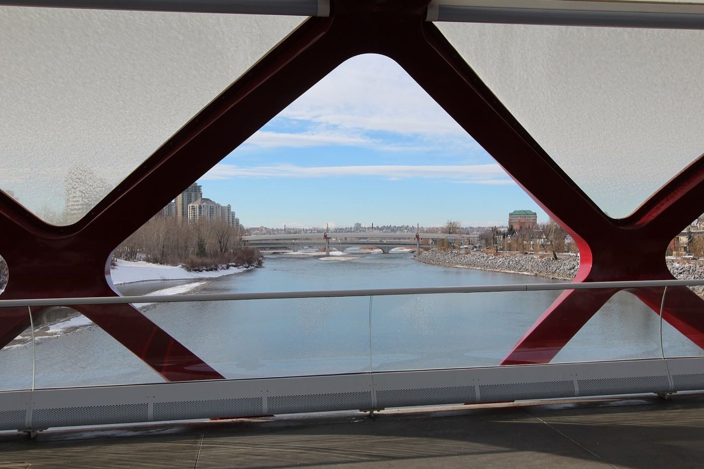
The reservoir and the natural area, a short drive south
Currie Barracks has no park of its own scale inside its boundaries: Weaselhead Natural Area and the Glenmore Reservoir pathway network sit a few minutes south via Glenmore Trail, with sailing, rowing and off-leash trails.
What the map does not show: the community's own green space is small and formal: Parade Square, Valour Park, Victoria Cross Park: built for a parade ground, not a ravine. The reservoir is the real outdoor amenity, and it is a drive, not a walk.
Elsewhere in Calgary, not Currie Barracks


15 places, with real drive times
Road-adjusted distance and drive time from the centre of the community to each destination, nearest first. Filter by category.
Showing 1–12 of 15 places, nearest first.
Method: distances and drive times are estimated from the centre of the community to each destination using Calgary's road grid, and are rounded to honest ranges rather than presented as precise figures. Several of the closest destinations here are on the old base site itself, inside the community's own boundary.
Every gym within reach
The old hangars carry their own gym, Mount Royal University's recreation centre is close, and the community's own pathways are the free option.
- Mount Royal University's recreation centre is on the community's western edge; confirm public membership rules directly
- Parade Square and Valour Park are the free option, on the community's own streets
- Marda Loop and Rockyview-area clubs cover everything else within ten minutes
- Confirm hours directly: several of these facilities keep university-term schedules
| Facility | What it is | Drive |
|---|---|---|
| Barracks Fitness open | Gym inside the old hangars on the Currie Barracks site, next to Wild Rose Brewery. | 2–3 min |
| Mount Royal University Recreation open | Triple gymnasium, pool and fitness centre, with public memberships available. | 6–9 min |
| Currie Barracks parks and pathways open | Free option: Parade Square, Valour Park and the community's own pathway network. | 1–2 min |
| Marda Loop and Rockyview area clubs open | Commercial gyms near Rockyview General Hospital and the Marda Loop district. | 5–7 min |
The base did double duty. The old hangars now house a gym and a brewery: confirm what is actually open before you count on either.
One private school inside, everything else designated
Clear Water Academy, a private Catholic school, runs junior kindergarten through grade 12 at 3910 Quesnay Wood Drive SW; Wikipedia records it occupying three historic buildings along Dieppe Avenue on the former base. No CBE or Catholic school sits inside Currie Barracks itself, and neither board publishes an attendance area on any page this guide could open.
| School | Board | Note |
|---|---|---|
| Clear Water Academy | Private | Private Catholic school running junior kindergarten to grade 12 at 3910 Quesnay Wood Drive SW. Wikipedia records it occupying three historic buildings along Dieppe Avenue on the former base. |
| Designated schools | Both boards | No CBE or Catholic school sits inside Currie Barracks, and neither board publishes an attendance area on any page this guide could open. Confirm the current designation for a specific address. |
| Mount Royal University | Post-secondary | Full university campus on the community's western edge, with a public recreation centre. |
Alberta funds Catholic education the same way it funds public education, so there is no tuition for a resident student at either board. Confirm the designation for a specific address before you buy: a new community's catchment can shift as it finishes building out.
Month by month, what living here looks like
Not a highlights reel: the actual annual rhythm, including the dates residents have to remember.
- Wild Rose Brewery's taproom in the old hangar is the warm stop on a Parade Square walk
- The old barrack blocks' thick masonry walls hold heat through the coldest snaps
- Mount Royal's winter-term traffic fills Sarcee Road by 8am
- Valour Park's paths get their first real ice of the season
- A chinook can clear the Parade Square gravel of snow in an afternoon
- The Stables' patio at Veranda stays shuttered until the thaw
- Framing on the still-vacant lots pauses through the coldest stretch
- Mount Royal's reading week empties the streets around campus for a week
- Meltwater pools on the unfinished lots before the storm drains catch up
- Cleats are the right footwear on Alexandria Park's shaded paths
- Framing crews are back on the active building sites by mid-month
- The Officers' Mess grounds dry out last, on the north-facing side
- Wild Rose Brewery's patio reopens for the season
- Construction noise picks up across the still-building blocks
- Mount Royal's spring convocation brings a week of campus traffic
- The Military Museums' outdoor displays come out of winter storage
- The street trees on the new blocks are still young enough to need staking
- Veranda's patio at The Stables fills on the first warm evenings
- Sod goes down on the newest lots as builders finish for the season
- Long evenings turn Valour Park into an after-work gathering spot
- Mount Royal's spring session crowds fade before summer classes begin
- Wild Rose Brewery's taproom patio runs full most evenings
- New-build possession dates cluster before the school year starts
- Thunderstorms roll off the foothills, visible from the open Parade Square
- Stampede parade traffic backs up Crowchild Trail along the community's eastern edge
- The Stables' patio at Veranda is the hottest ticket on a Currie Barracks evening
- Construction crews work the long light on the remaining building lots
- The hangar taproom at Wild Rose is at its busiest of the year
- Kananaskis and Bragg Creek are a straight run west on Glenmore Trail
- The Military Museums draws its heaviest tourist traffic of the year
- Framing on the year's last lots wraps up before the weather turns
- A quiet week around Mount Royal before the fall semester returns
- Mount Royal's fall semester restarts and Sarcee Road traffic thickens by 8am
- The Stables' garden beds usually catch first frost before the rest of the block
- The Stables' patio closes for the season by month's end
- Construction sites wind down toward their fall handover dates
- Peak colour runs through the mature trees around the Officers' Mess
- Wild Rose Brewery's taproom shifts to its indoor winter hours
- First snow is normal, and usually melts within the week
- The last of the year's new-build possessions close before the freeze
- Dark by 5pm turns Parade Square into an evening dog-walk loop
- Freeze sets into the unfinished lots for the winter
- Mount Royal's exam season fills the campus lots through early December
- Construction on the active sites goes quiet until spring
- A chinook can flip a −20 morning at the Parade Square into a +5 afternoon
- Wild Rose Brewery's taproom is the warm stop on the shortest days
- The Stables' heritage windows frost over on the coldest nights
- Quiet streets between the holidays, with construction fully stopped
1 more photograph of the community and its surroundings
All freely licensed, via Wikimedia Commons. Filter by category.

Showing 1–1 of 1 photographs.
About these photographs. Openly licensed images geotagged in or near Currie Barracks, found on Wikimedia Commons and served from there with full attribution. Inline photos elsewhere on the page may still come from the site's shared Calgary library.