
Live in Roxboro
A 0.3 km² pocket wrapped by a bend in the Elbow River, established in 1923, with no renter households at all and a real flood history behind the wealth.
Roxboro was established in 1923, twelve years after Rideau Park across the bend, and the two received official community designation together in 1967. It is one of the smallest and wealthiest communities in Calgary: 0.3 km², 415 residents in 165 private households at the 2021 census, every one of them an owner household and 97 per cent of the dwellings single-detached. Median household income was $232,000 in 2020, against $98,000 across Calgary. The Elbow River wraps the community on the north and west, 33 Avenue SW forms the southern edge, and Rideau Park adjoins to the east. The honest tension is exposure: Roxboro was one of the twenty-six Calgary neighbourhoods placed under mandatory evacuation when the Elbow flooded in June 2013.
A 1923 pocket with no renters and a real flood history
Bounded by the Elbow River to the north and west, 33 Avenue SW to the south, and Rideau Park and 4 Street SW to the east. Ward 8 on the City's current map; Wikipedia still gives Ward 9, which predates the 2021 boundaries.
Roxboro was established in 1923, twelve years after Rideau Park across the bend, and the two received official community designation together in 1967. It remains one of the smallest and wealthiest communities in Calgary: 0.3 km², 415 residents in 165 private households at the 2021 census, every one of them an owner household and 97% of the dwellings single-detached. Median household income was $232,000 in 2020, against $98,000 across Calgary.
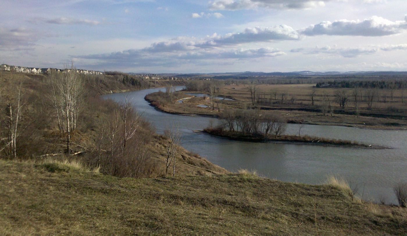
The bend. The Elbow River wraps the community on the north and west, 33 Avenue SW forms the southern edge, and Rideau Park adjoins to the east across 4 Street SW. The whole community sits inside that bend. Nobody here takes public transit to work, according to the 2021 profile, and 20% walk, five times the city's share.
The water problem. That same bend put Roxboro on the list of twenty-six Calgary neighbourhoods placed under mandatory evacuation when the Elbow flooded between 19 June and 12 July 2013: the largest evacuation order in the city's history, affecting 75,000 people, with damage across the province above CA$5 billion. A property here backing onto the river carries that exposure regardless of price point, and it belongs in any offer.
The stock is old, and then suddenly new. 64% of occupied dwellings date from 1960 or before and 6% from 1961 to 1980. Nothing at all was built here between 1981 and 2000. Then 24% arrives from 2001 on, which is what teardown-and-rebuild looks like in a census table.
- Roxboro was one of twenty-six Calgary neighbourhoods evacuated in the June 2013 flood: check the floodway or flood fringe designation for a specific address
- The 2021 profile records no renter households at all. There is effectively no lease market here
- Only 165 private households in the whole community: listings are rare and inventory is thin most of the year
- No school of any board sits inside Roxboro. Rideau Park School next door is the one both publishers name
- Western Canada High School's own article does not list Roxboro among the communities it serves, so do not assume it: search the address on the board's school finder
How Roxboro got here
- 1911Rideau Park is established across the bend. Roxboro follows twelve years later, and the two are treated as one community from 1967.
- 1923Roxboro is established on the inside of the Elbow's bend.
- 1931The Glencoe Club opens at 636 29 Avenue SW, a private sports and social club a few minutes north of the bend.
- 1960The Rideau-Roxboro Community Association is registered as an Alberta society on 13 May. Its hall at 101 30 Avenue SW is a single room licensed for 30, with tennis courts and an outdoor rink outside it.
- 1967Rideau Park and Roxboro receive official community designation and merge into one community.
- 2013The Elbow floods between 19 June and 12 July. Roxboro is one of twenty-six Calgary neighbourhoods placed under mandatory evacuation, the largest evacuation order in the city's history, affecting 75,000 people.
- 2021The federal census counts 415 residents in 165 private households, all of them owner households, with a median household income of $232,000 in 2020.
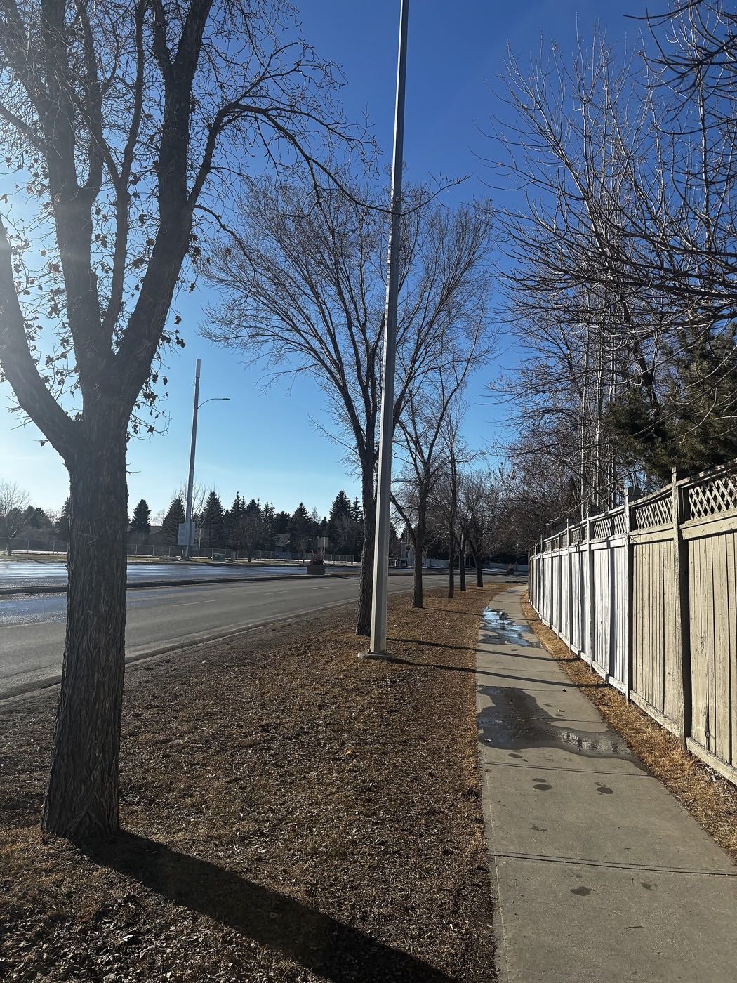
Roxboro Park and Elbow Island Park
Roxboro Park sits on the community's own river-bend edge, with a playground, off-leash area and outdoor rink, and the community association adds tennis courts and a skating rink of its own. Elbow Island Park and its footbridge are a short walk further along the bend. Note what is not published: neither park has a City page this audit could open, so what is on the ground is the community's own account rather than a City inventory.
What the map does not show: the river bend is the whole point of living here, and the whole reason to walk it at high water before you sign anything. 2013 is not ancient history for this community: the evacuation order covered it.
Elsewhere in Calgary, not Roxboro

15 places, with real drive times
Road-adjusted distance and drive time from the centre of the community to each destination, nearest first. Filter by category.
Showing 1–12 of 15 places, nearest first.
Method: distances and drive times are estimated from the centre of the community to each destination using Calgary's road grid, and are rounded to honest ranges rather than presented as precise figures. Pocket-scale list: 4 Street SW and Macleod Trail carry everything further out.
Every gym within reach
Nothing sits inside Roxboro itself. The Glencoe Club is the closest facility by far, though it is private, and the river-bend pathway is the free daily option.
- 636 29 Avenue SW, welcoming members since 1931. Its own site names curling and swimming and publishes no full facility list
- MNP Community & Sport Centre is the nearest public option: City-owned at 2225 Macleod Trail South, open since 1983, renamed from Repsol Sport Centre in 2022
- Roxboro Park's pathway and rink are the free option, on the community's own edge
- The community association's tennis courts and outdoor rink are the other free option
| Facility | What it is | Drive |
|---|---|---|
| Roxboro Park pathways open | Free option: the river-bend pathway and the community association's outdoor rink and tennis courts. | 1–2 min |
| MNP Community & Sport Centre open | City-owned at 2225 Macleod Trail South: aquatic facilities for swimming, diving, water polo and synchronized swimming, plus fitness areas and space for basketball and track. Open since 1983 and renamed from Repsol Sport Centre in 2022. | 5–7 min |
| Glencoe Club closed | Private club at 636 29 Avenue SW, open since 1931: its own site names curling and swimming, and membership is required. | 3–5 min |
The free option is the one people actually use. The bend pathway connects straight into the regional system.
No school inside the community
Roxboro has no school of any board inside it. Rideau Park School, a K-9 public school next door, is the one both Wikipedia and the Federation of Calgary Communities name as serving the community, though its own page prints no attendance area. The senior high is genuinely unresolved: Western Canada High School lists Mount Royal, Mission, Cliff Bungalow and Connaught as the communities it serves, and Roxboro is not among them.
| School | Board | Note |
|---|---|---|
| Rideau Park School | Calgary Board of Education | Public K to 9 next door, named by both Wikipedia and the Federation of Calgary Communities as the school serving Roxboro. No school of any board sits inside Roxboro itself, and the school's own page prints no attendance area. |
| Senior high designation | Calgary Board of Education | Unconfirmed. Western Canada High School's own article lists Mount Royal, Mission, Cliff Bungalow and Connaught as the communities it serves, and Roxboro is not among them. Search the address on the board's school finder before you assume a school. |
| Catholic designation | Calgary Catholic School District | No Catholic school sits inside Roxboro. The district's site refuses automated clients, so nothing on the Catholic side could be confirmed for this community. |
Alberta funds Catholic education the same way it funds public education, so there is no tuition for a resident student at either board. Confirm the designation for a specific address on the board's own school finder, which is the only place a designation is published. The Calgary Catholic School District's site refuses automated clients, so nothing on the Catholic side here was read from the district itself.
Month by month, what living here looks like
Not a highlights reel: the actual annual rhythm, including the dates residents have to remember.
- Roxboro Park's rink freezes hard against the bend in the river
- The pre-1960 houses, 64% of the occupied stock, hold the cold longer than the newer infill nearby
- Elbow Island Park's footbridge ices over before the open pathway does
- The Mission Bridge carries the coldest pedestrian crossing on the block
- A chinook off the river bend can strip 33 Avenue's snowbanks in an afternoon
- The community association's hall on 30 Avenue SW is one room licensed for 30, so winter bookings go fast
- The escarpment above Rideau Road holds ice longer than the flats along the river
- Roxboro Park's rink sees its heaviest weekend traffic of the season
- Meltwater off the escarpment runs toward the river before the storm drains catch up
- Roxboro Park's off-leash area turns to mud before the pathway dries
- Cleats are the honest footwear on the path along the river bend
- The Elbow's spring flood watch is an annual habit for a community that was evacuated in 2013
- The full pathway around Elbow Island Park reopens as the ice clears
- Boulevard gardens along 4 Street SW get their first spring planting
- Roxboro Park's off-leash season hits full swing
- Garden centres along Elbow Drive see the first real Saturday crowds
- The Elbow runs high with mountain melt around the community's river bend
- The character homes along Roxboro Place disappear behind full leaf cover
- Boulevard gardens along 4 Street SW reach peak bloom
- Sunset past 9pm turns Elbow Island Park into an evening walking loop
- School lets out at Rideau Park School next door and the bend pathway gets busier
- The community association's tennis courts come back into use for the season
- Evening thunderstorms roll up the Elbow valley from the southwest
- Paddlers use the calm water at the river bend on weekday evenings
- Stampede traffic detours some 4 Street SW commuters north toward downtown
- The river bend at Elbow Island Park is at its busiest with waders
- The association's tennis courts run late into the long evenings
- Long evening light keeps the association's tennis courts busy past nine
- The Elbow runs low and clear past the community bend by month's end
- Smoke haze off the western wildfires can settle low in the river bend for days
- Boulevard gardens along 4 Street SW start their late-summer fade
- Back-to-school traffic picks up on 33 Avenue
- Rideau Park School, the K to 9 next door, restarts and 33 Avenue's morning traffic thickens
- Cottonwoods along the river bend turn before the streets' own canopy
- The association's tennis courts book out again once the evenings cool
- The escarpment above Rideau Road shows its first frost of the season
- Colour peaks along the escarpment and drops to the river bend below
- Elbow Island Park's footbridge gets its first icy mornings
- Roofs along Roxboro Place frost over most mornings by month's end
- 4 Street SW's boulevard gardens get cut back for the season
- Roxboro Park's rink floods for the season before the first real snowfall
- The community association's hall on 30 Avenue SW fills its holiday bookings
- The walk along the river bend calls for a headlamp well before five
- The escarpment above Rideau Road carries its first real ice of the year
- A chinook arch over the river bend can turn a −20 morning into a +5 afternoon
- The association's outdoor rink is the community's actual winter gathering point
- Elbow Island Park stays open for walkers who bundle up over the break
- With zero rental housing in Roxboro, a listing here can go months between showings
30 more photographs of Calgary and the region
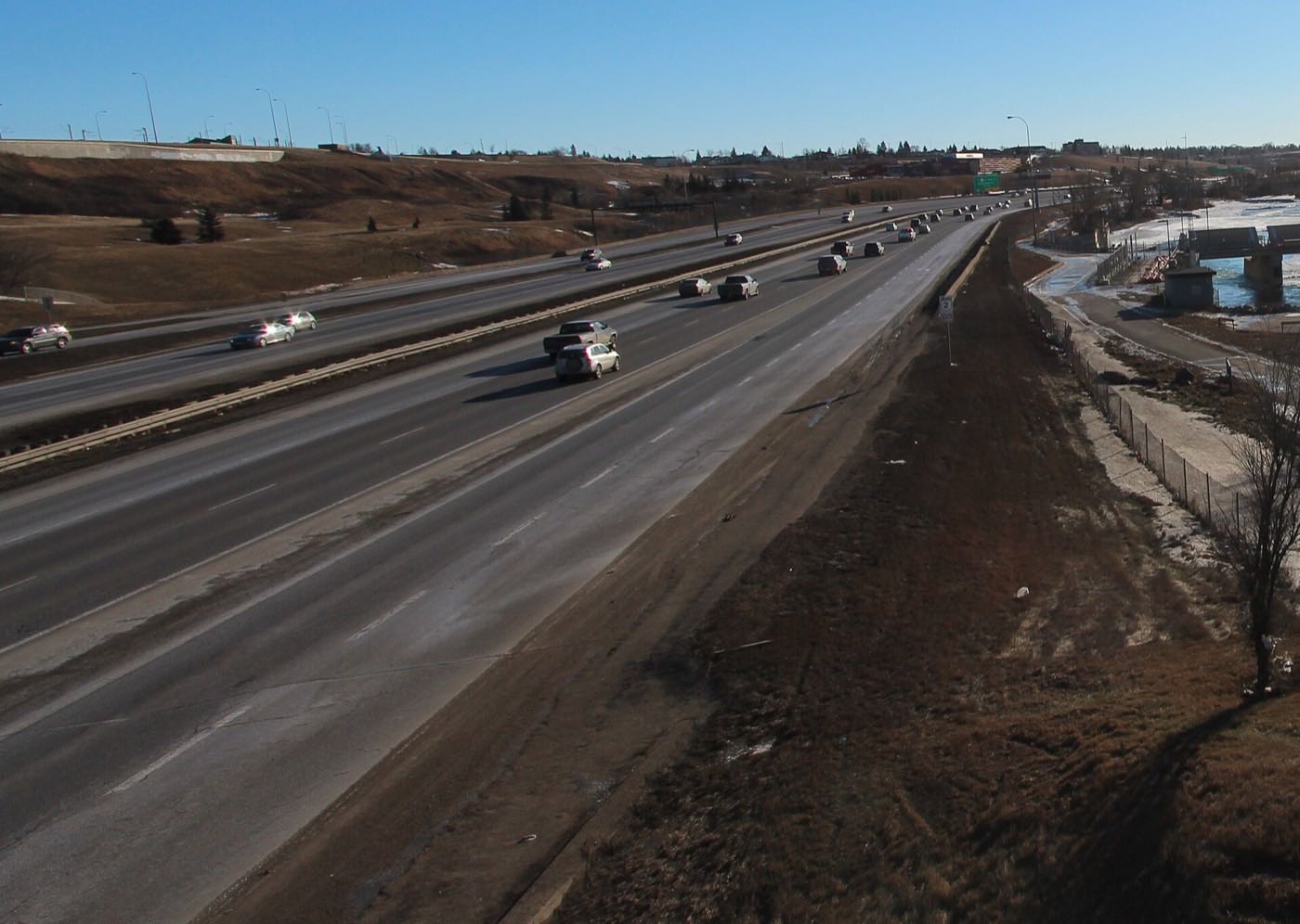
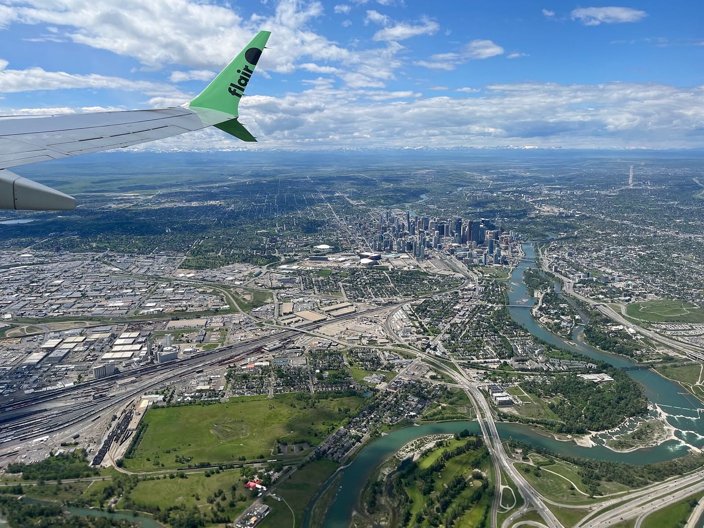
Drawn from the site's shared, freely licensed Calgary photo library, not photographs of Roxboro itself. Filter by category.
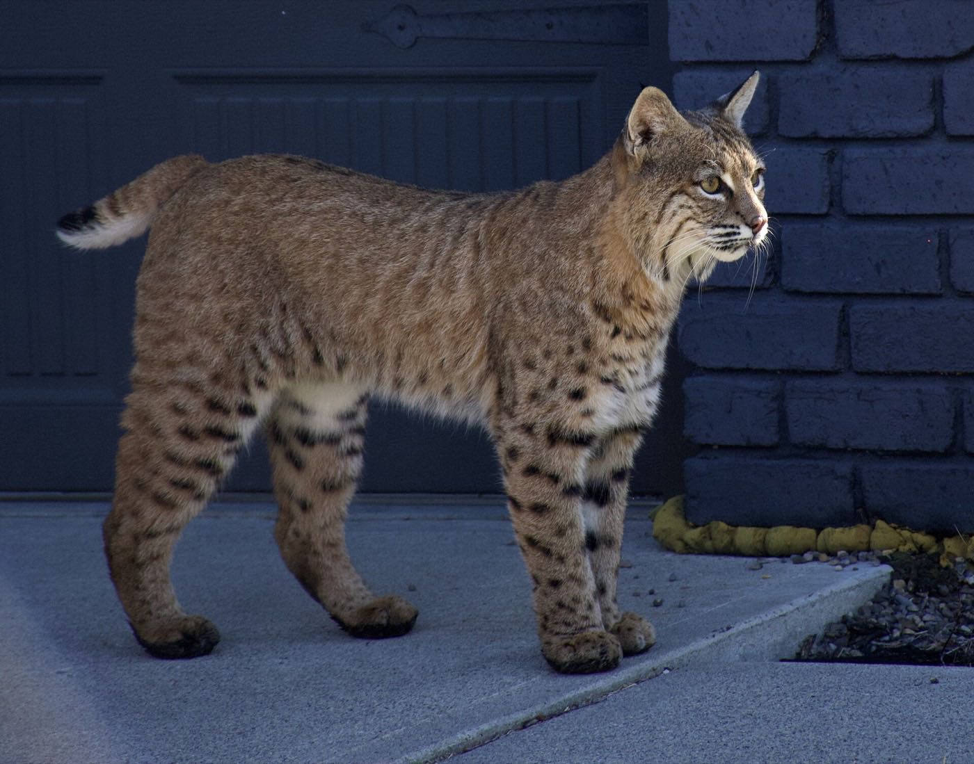
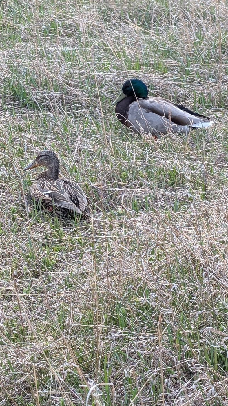

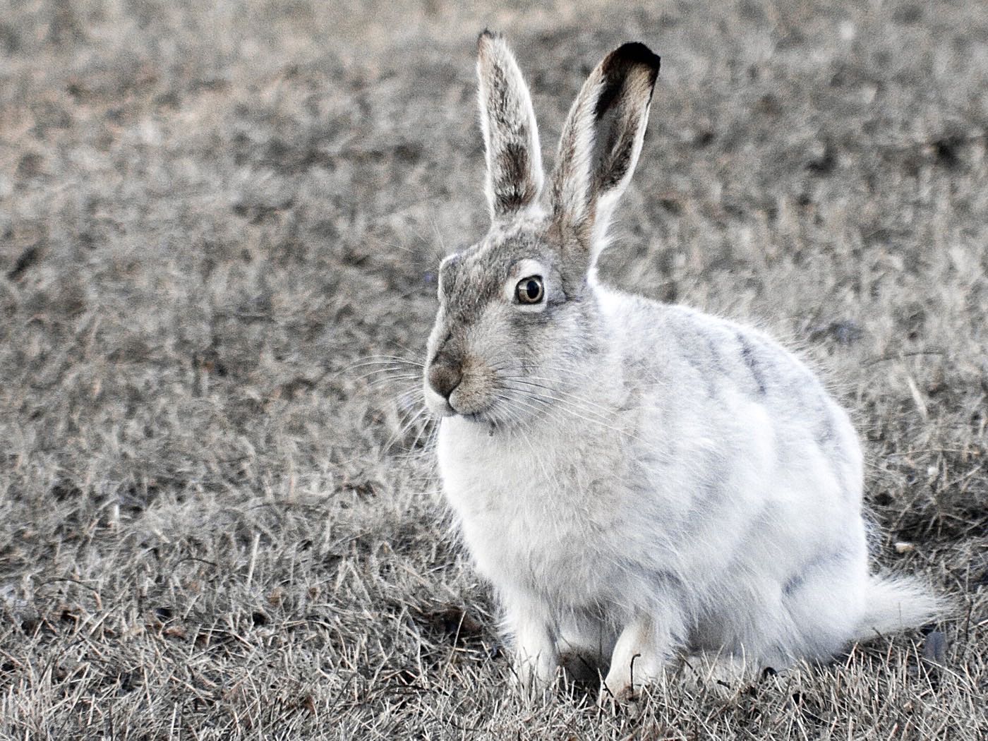

Showing 1–12 of 30 photographs.
Honesty note. This page uses only the general Calgary, seasonal, Alberta-wildlife and day-trip photography from the site's shared library. Nothing here is presented as a photograph of Roxboro itself.