
Live in Discovery Ridge
A community built out in the 2000s and reached by one road, beside Griffith Woods Park's 93 hectares of Elbow River forest.
Discovery Ridge began as a developer project in the early 1990s, on land longtime Calgarians called Jackson's Valley, and was first known as New Discovery. Most of it went up later than the name suggests: 83 per cent of the occupied dwellings the 2021 census recorded were built between 2001 and 2010, and a third of them are apartments in buildings over five storeys. The census counted 4,330 residents in 1,630 private households, with 19 per cent of households renting and a median household income of $145,000 for 2020. Griffith Woods Park, 93 hectares of white spruce forest opened to the public in 2000, sits alongside on the Elbow River, and Discovery Ridge Boulevard is the way in and out.
A 2000s build-out with one road in and one road out
Wikipedia puts the boundaries at Stoney Trail to the north, 69 Street W to the east, Rocky View County and the city limits to the west, and the Elbow River and the Tsuut'ina Nation reserve to the south. The Federation of Calgary Communities instead gives Glenmore Trail as the northern edge. Ward 6.
Discovery Ridge began as a developer project in the early 1990s, on land longtime Calgarians called Jackson's Valley and under the original name New Discovery. The build-out came later than the name suggests: 83% of the dwellings occupied in 2021 were built between 2001 and 2010, and the City records the community's structure as 2000s rather than 1990s. The census counted 4,330 residents in 1,630 private households across 3.6 km².
The one road. Discovery Ridge Boulevard is the community's connection to the rest of the city, and there is no shortcut and no second route if it closes. That stopped being theoretical in 2013, when the Elbow River peaked at a record 1,750 m³/s on 21 June and Discovery Ridge was one of 26 Calgary neighbourhoods placed under a mandatory evacuation order.
Griffith Woods. The land was donated to the city in 1998 and the park opened to the public in 2000: 93 hectares of white spruce, trembling aspen, water birch and balsam poplar along the Elbow, named for Wilbur Griffith, the Oklahoma oil businessman who bought the property in 1952. Over 200 bird species live there, and the mammal list runs from snowshoe hares to moose and black bears.
Not the estate enclave the older sources describe. Wikipedia still says the community has no rental housing, from a figure recorded in 2000. The 2021 census counts 19% of households renting and a third of occupied dwellings in apartment buildings over five storeys.

- Discovery Ridge Boulevard is the community's access road. A closure, construction, or an incident there cuts the community off
- Discovery Ridge was one of 26 Calgary neighbourhoods evacuated in the 2013 Elbow River flood, which peaked at a record 1,750 m³/s
- Central Memorial, grades 10 to 12 at 5111 21 Street SW, names Discovery Ridge among the communities it serves. Confirm the current designation
- The single-road bottleneck is worst at the morning school run
- 19% of households rent and a third of occupied dwellings are apartments over five storeys, which is not the estate enclave the older write-ups describe
How Discovery Ridge got here
- Early 1990sA developer initialises the project on land known as Jackson's Valley, first under the name New Discovery.
- 1998The Griffith Woods land, named for the Oklahoma oil businessman Wilbur Griffith who bought it in 1952, is donated to the city.
- 2000Griffith Woods Park opens to the public: 93 hectares of white spruce, aspen, water birch and balsam poplar along the Elbow River.
- 2001 to 2010The bulk of the community goes up. Eighty-three per cent of the dwellings occupied in 2021 date from this decade.
- 2003The Discovery Ridge Community Association registers as a provincial society on 27 January.
- 2013The Elbow River peaks at a record 1,750 m³/s on 21 June, and Discovery Ridge is one of 26 Calgary neighbourhoods placed under a mandatory evacuation order.
- 2019The City's last civic census counts 4,280 residents in 1,669 dwellings, 1,599 of them occupied.
- 2021The federal census records 4,330 residents in 1,630 private households, 19 per cent of them renting.
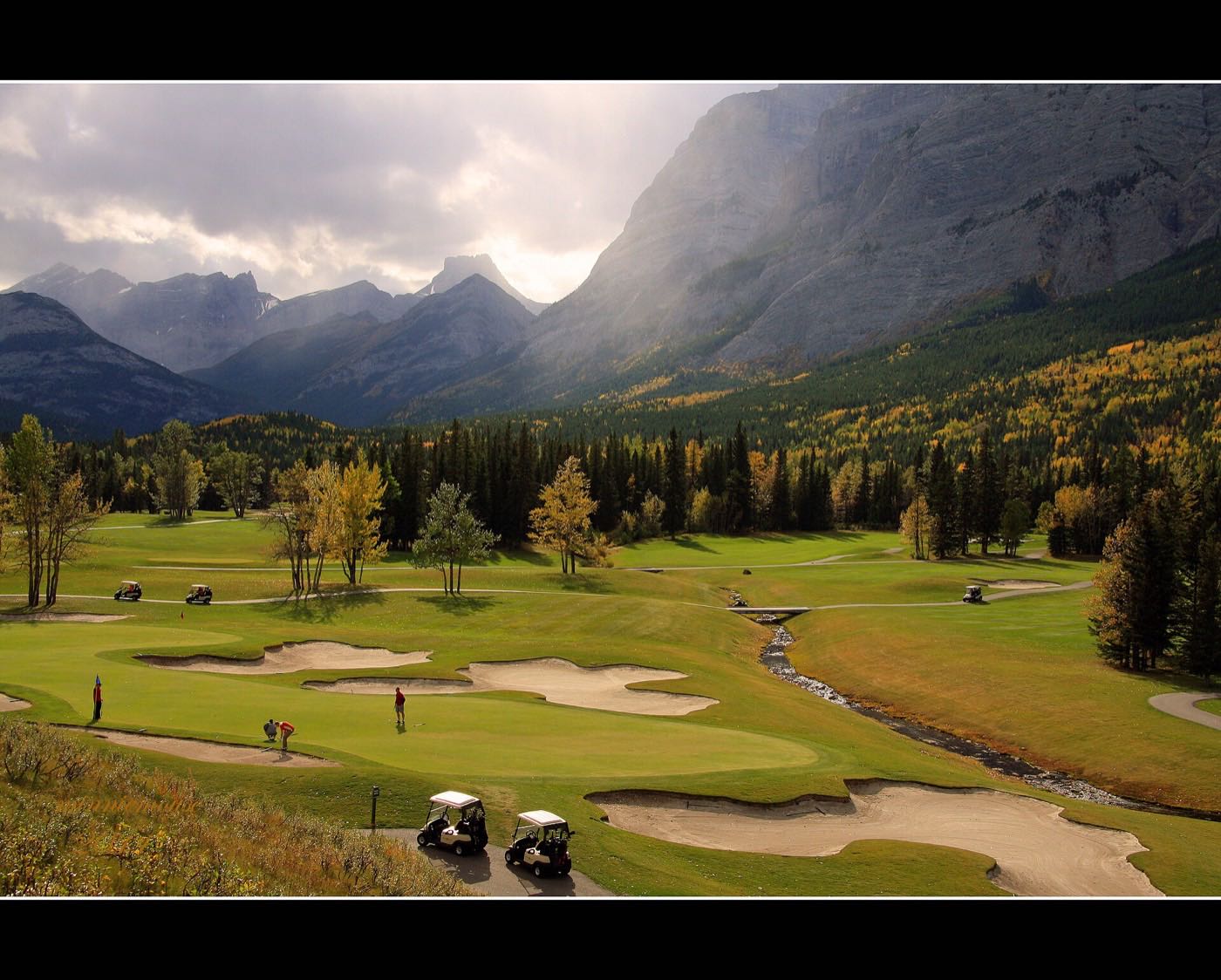
93 protected hectares along the Elbow River
Griffith Woods Park borders Discovery Ridge to the north and runs along the Elbow River. Its forest is dominated by white spruce, with trembling aspen, water birch and balsam poplar, and it carries orchids including yellow lady's slipper. The land was donated to the city in 1998 and the park opened in 2000.
What the map does not show: the park is the single best reason to live here, and it sits on the river that put the whole community under a mandatory evacuation order in 2013. Over 200 bird species live in it, along with black bears, moose, snowshoe hares and American mink.
Elsewhere in Calgary, not Discovery Ridge

14 places, with real drive times
Road-adjusted distance and drive time from the centre of the community to each destination, nearest first. Filter by category.
Showing 1–12 of 14 places, nearest first.
Method: distances and drive times are estimated from the centre of the community to each destination using Calgary's road grid, and are rounded to honest ranges rather than presented as precise figures. Every route out of Discovery Ridge starts on the same single road, so these times assume no incident on it.
Every gym within reach
The community association manages a recreation facility with an ice rink and tennis and pickleball courts. Beyond that, WestSide Recreation Centre on 69 Street SW is the nearest large facility, and Griffith Woods Park's own trails are the free option on the doorstep.
- The centre's own site refuses automated clients and the City does not list it, so check its facilities and rates directly
- Griffith Woods Park's river trail is the free option, on the community's own edge
- Canada Olympic Park adds WinSport's ski hill and training facilities further north
- Signal Hill Centre's commercial gyms cluster around the plaza northeast of here
- The community association runs an ice rink and tennis and pickleball courts on a $25 annual membership
| Facility | What it is | Drive |
|---|---|---|
| WestSide Recreation Centre open | The nearest large recreation centre, on 69 Street SW. Its own site refuses automated clients, so check its facility list and rates directly. | 6–10 min |
| Griffith Woods Park trails open | Free option: 93 hectares of protected forest and river trail alongside the community. | 1–3 min |
| Canada Olympic Park (WinSport) open | WinSport's ski hill and training facilities, north via Old Banff Coach Road. | 11–16 min |
| Signal Hill Centre district clubs open | Commercial gyms around the Signal Hill Centre plaza, northeast via 69 Street. | 9–13 min |
The park does the daily work. The paid options require leaving on the community's one road out.
One school inside, everything else outside
Griffith Woods School carries kindergarten to grade 9 inside the community. Senior high runs out to Central Memorial, grades 10 to 12 at 5111 21 Street SW, which names Discovery Ridge among the twenty communities it serves. Bishop Pinkham, outside the community, is the nearer kindergarten to grade 9 alternative, with French immersion.
| School | Board | Note |
|---|---|---|
| Griffith Woods School | Calgary Board of Education | Runs kindergarten through grade 9 inside the community, on its own site under the board's domain. |
| Bishop Pinkham School | Calgary Board of Education | Kindergarten through grade 9 with French immersion, outside the community. |
| St. Michael School | Calgary Catholic School District | The Catholic option outside the community. The district's site refuses automated clients, so its grades and the current designation are unverified here. |
| Central Memorial High School | Calgary Board of Education | Grades 10 to 12 at 5111 21 Street SW, with an enrolment of 1,575 in 2021. Discovery Ridge is one of the communities it names. Confirm the current designation for a specific address. |
Alberta funds Catholic education the same way it funds public education, so there is no tuition for a resident student at either board. The Calgary Catholic School District's site refuses automated clients, so nothing on the Catholic side here was read from the district itself. Confirm the designation for a specific address before you buy.
Month by month, what living here looks like
Not a highlights reel: the actual annual rhythm, including the dates residents have to remember.
- The community sits at 1,098 m at its reference point, down in the Elbow valley rather than on the ridges above
- Griffith Woods' white spruce stand holds its snow load long after the surrounding poplar bends bare
- Discovery Ridge Boulevard is the way in and out, so watch how it clears after a storm
- Moose are on Griffith Woods' own mammal list, along with black bears and snowshoe hares
- Chinooks arrive on their own schedule, and the valley floor feels them differently from the ridge above
- The Elbow runs low and iced through Griffith Woods
- Griffith Woods' river-ice sections stay unstable even on the coldest days
- The coldest week of the year usually lands somewhere in this month
- Meltwater feeds the Elbow before the valley's own snowpack goes
- Cleats are the right footwear on Griffith Woods' packed-ice river trail
- Discovery Ridge Boulevard's single lane each way gets its worst pothole season
- Spring runoff on the Elbow starts drawing attention in the community's updates
- The Elbow's spring runoff is not background noise here: the river was at a record 1,750 m³/s in June 2013
- Griffith Woods' white spruce and balsam poplar canopy leafs out over the river trail
- Deer move down off the escarpment into the community's mature yards
- Last hard frosts pass through the valley
- Yellow lady's slipper and other orchids bloom in Griffith Woods' understory
- Sunset past 9pm turns the river trail into an evening walking loop
- Discovery Ridge Boulevard carries the season's first weekend park traffic
- The community association's ice rink season ends and the tennis and pickleball courts open
- Griffith Woods School lets out and the river trail gets its first summer crowds
- The Elbow peaks with mountain snowmelt in June, which is when 2013's record flow came through
- Peak daylight at the solstice, with long evening light along the river trail
- Thunderstorms building over the foothills are visible from the community's western edge, closer to the mountains than most of Calgary
- The Elbow runs low and clear through Griffith Woods by mid-summer
- Discovery Ridge Boulevard is the only route in for Stampede-week visitors too, and it shows
- Hottest month, with the river trail the shaded option
- Moose and deer are most active in the park at dawn and dusk through the heat
- Griffith Woods' cottonwoods start dropping seed fluff along the river trail
- Kananaskis-bound traffic on Old Banff Coach Road is a short drive from the community's only exit
- Quietest weeks before Griffith Woods School's back-to-school rush
- Wildfire haze can settle in the valley on windless days
- Griffith Woods School restarts and Discovery Ridge Boulevard carries the whole community's morning traffic at once
- First frost usually arrives late in the month
- Aspen and poplar in Griffith Woods turn first among the park's canopy
- The single-road bottleneck is most visible during the September school-run crunch
- Peak colour runs through Griffith Woods' balsam poplar stands along the river
- First snow is normal, and normally melts
- Snow tires go on before Discovery Ridge Boulevard's single lane turns slick
- Moose are more visible in the park as the understory thins
- Griffith Woods' white spruce stands out darker against the season's first snow
- Dark by 5pm
- The community's single access road gets its first real test of the season
- Freeze sets in on the Elbow's slower side-channels through the park
- A chinook arch over the escarpment is a common winter sight from the valley floor
- Griffith Woods' river trail stays open for walkers who bundle up over the holiday break
- Discovery Ridge Boulevard carries the community's only holiday traffic, in and out
- Block heaters earn their keep through the coldest stretch
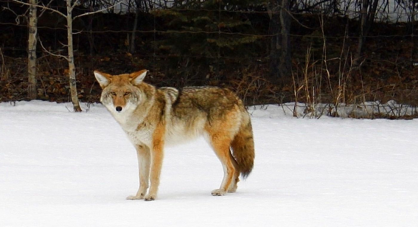
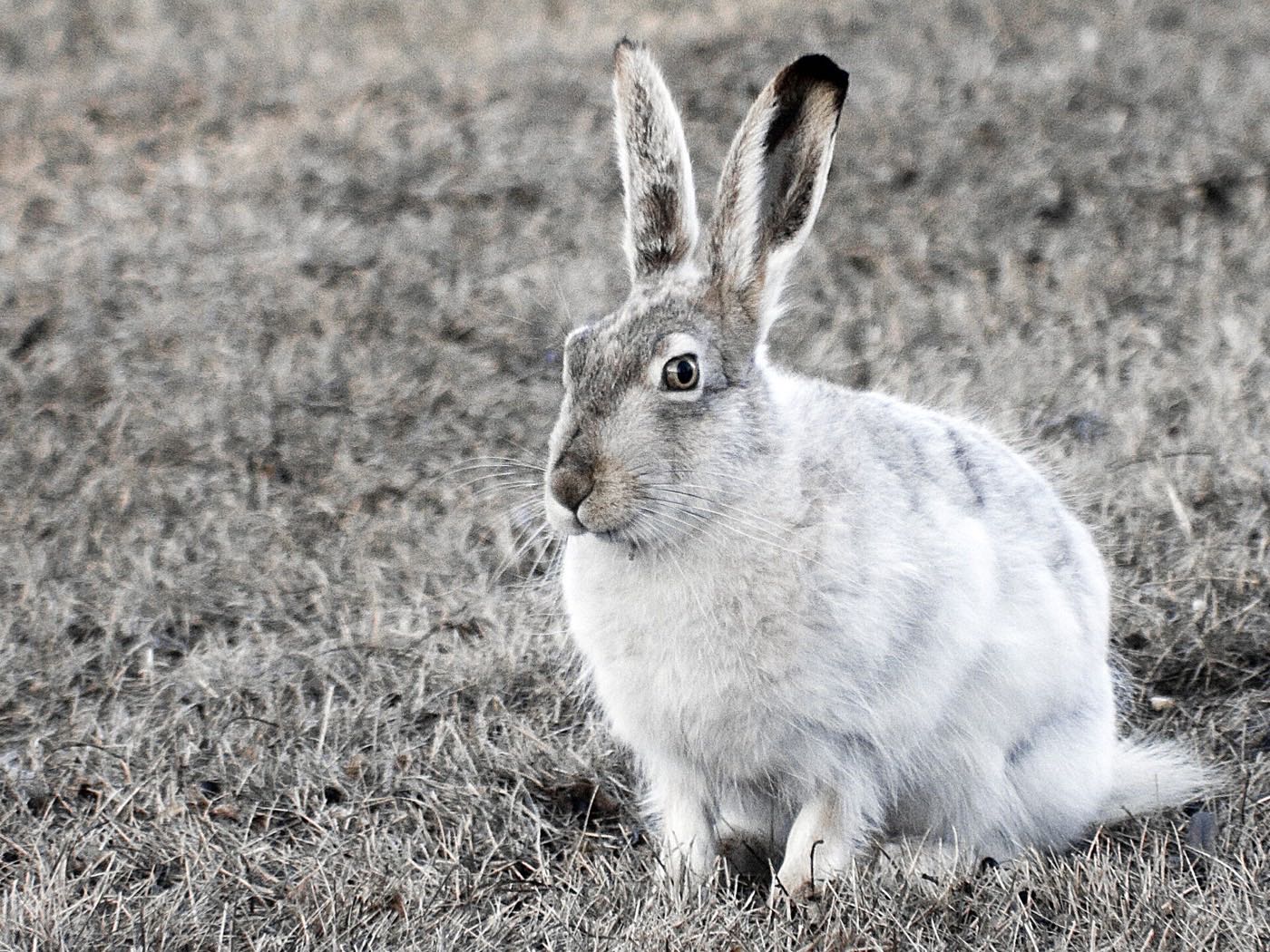
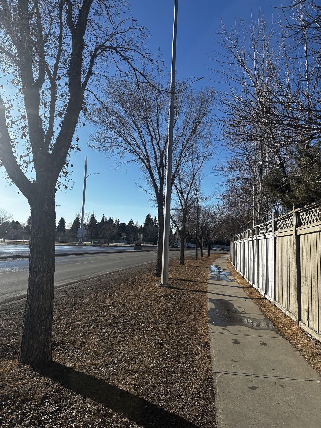
4 more photographs of the community and its surroundings
All freely licensed, via Wikimedia Commons. Filter by category.


Showing 1–4 of 4 photographs.
About these photographs. Openly licensed images geotagged in or near Discovery Ridge, found on Wikimedia Commons and served from there with full attribution. Inline photos elsewhere on the page may still come from the site's shared Calgary library.