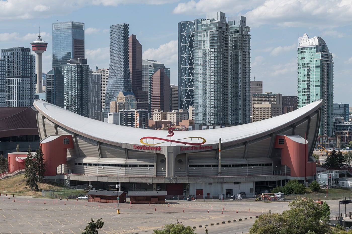
Live in Manchester
A 1914 community squeezed onto 0.5 km² between Macleod Trail and Manchester Industrial, with 950 residents left and 93% of households renting.
Manchester was established in 1914 as a residential community, and it has never stopped being a small pocket beside industry: 0.5 km², 950 residents in 580 private households at the 2021 census, 93% of them renting and 47% of the renters in subsidized housing against 9% across Calgary. Not one occupied dwelling here is a single-detached house; 89% are apartments in buildings over five storeys. Manchester Industrial presses in from the east, south and north, Chinook Centre sits south past the boundary, and Elboya and Parkhill lie across Macleod Trail to the west. Sources disagree on the quadrant: Wikipedia has the community straddling SE and SW, and the City's own profile map labels every interior street SW.
An industrial district with a small residential strip attached
Bounded by 42 Avenue SW to the north, 58 Avenue SW to the south, Macleod Trail SW to the west, and the Canadian Pacific rail right-of-way to the east, with Manchester Industrial beyond it on three sides. Ward 9.
Manchester was established in 1914 as a residential pocket built to house workers within walking distance of the industrial employers around it, and it has mostly stayed that. At the 2021 census it holds only 950 residents in 580 dwellings across 0.5 km²: this is not a residential guide dressed up as a neighbourhood profile. Almost nobody who works in Manchester lives here, and most of what carries the Manchester name is Manchester Industrial, a separate, unpopulated industrial community that presses in from more than one side.
The housing that remains. Of the 580 private households, 93% rent and 47% of those renter households are in subsidized housing, against 9% across Calgary. Median household income was $44,000 in 2020, well under half the city figure of $98,000, and 39% of households spend 30% or more of income on shelter. The median monthly shelter cost for a renter household here is $900. This is one of the lowest-income, highest-rental communities on this site, and the numbers are the story, not a footnote to it.
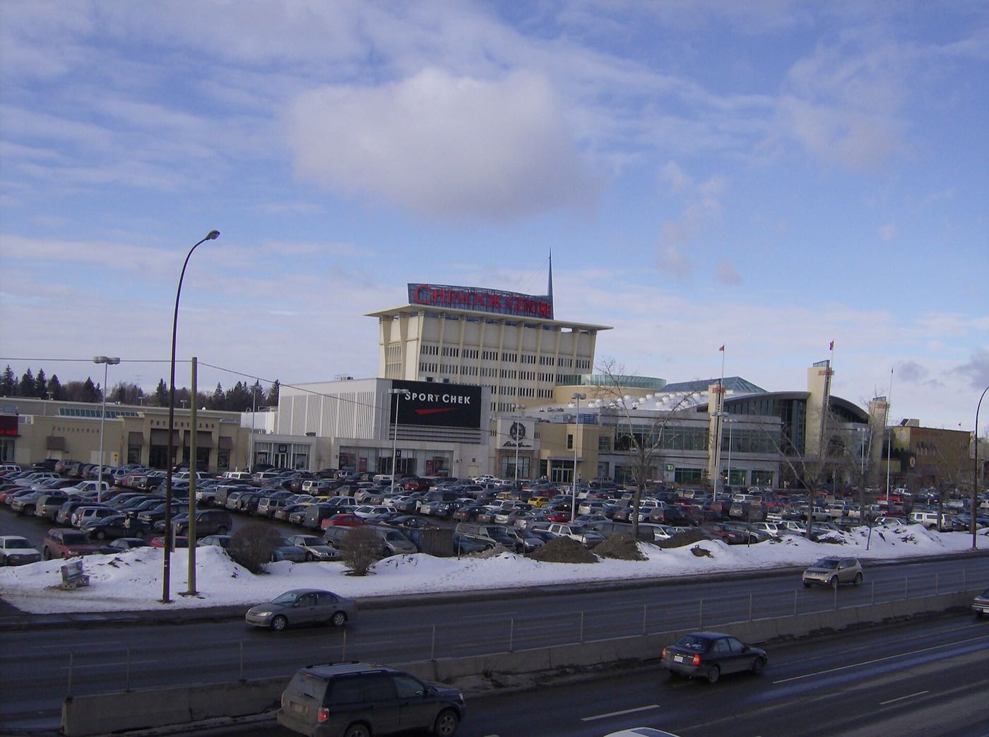
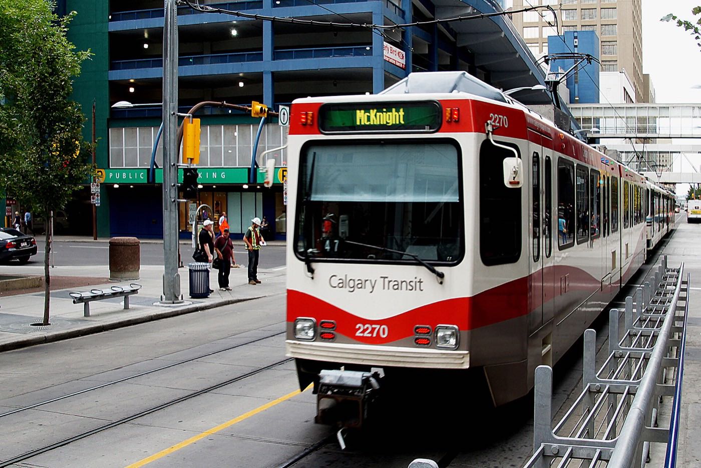
What is actually here. Macleod Trail forms the western edge, with Elboya, Parkhill and Windsor Park across it; the Canadian Pacific rail right-of-way and Manchester Industrial press in from the east, south and north. The 39 Avenue CTrain Station, at 4115 1 Street SE since 25 May 1981, sits a short walk north, and 22% of employed residents took transit to work in 2021 against 9% citywide. The housing is towers: 89% of occupied dwellings are apartments in buildings over five storeys, 8% are in buildings under five, and the census counts no single-detached, semi-detached or row houses at all. Two thirds of the stock went up after 2000. No school has operated inside the community since Manchester Elementary closed in 1973; it was demolished in 2004.
The quadrant question. Sources genuinely disagree here. Manchester sits east of Macleod Trail, which is the historical dividing line between the SE and SW quadrants at this latitude, by that logic alone the community would read as Southeast. Wikipedia's infobox instead lists it as straddling both SE and SW. The City of Calgary's own 2023 community profile map complicates it further: every interior street (Macleod Trail, Centre Street, 1st through 3rd Streets) is labelled with an SW suffix despite sitting east of the dividing line. Confirm the quadrant for a specific address rather than relying on any one source alone.
- 93% of households rent, and 47% of renter households are in subsidized housing, against 9% citywide
- Median household income was $44,000 in 2020, less than half the city figure
- The census counts no single-detached, semi-detached or row houses here at all: 97% of dwellings are apartments
- No school has operated inside the community since 1973. This is not a family-oriented catchment
- Manchester sits east of Macleod Trail, yet the City's own map addresses every street SW. Confirm the quadrant for a specific address
How Manchester got here
- 1914Manchester is established as a residential community beside the industrial employers around it.
- 1940The majority of the community's residential dwellings have been built.
- 1968The population reaches 800 residents across 255 dwellings, before declining through suburbanization.
- 1973Manchester Elementary School closes for low enrolment. It is demolished in 2004, and no school has operated inside the community since.
- 198139 Avenue station opens on 25 May at 4115 1 Street SE, 3.4 km south of the City Hall interlocking. It is called 42 Avenue S until 1986.
- 2019The City's last civic census counts 1,025 residents and 659 dwellings, 518 of them occupied and only 29 owner-occupied.
- 2021The federal census records 950 residents in 580 private households, 93% of them renting, with a median household income of $44,000 for 2020.
Almost none, by design and by history
No publisher this guide could open names a park inside Manchester. The nearest real green space is Riverpark and Sandy Beach on the Elbow River escarpment, a short drive west via Elbow Drive, well outside the community's own boundary.
What the map does not show: if a park is part of your daily routine, you are driving to it from here: there is nothing to walk to inside the strip itself.
Elsewhere in Calgary, not Manchester


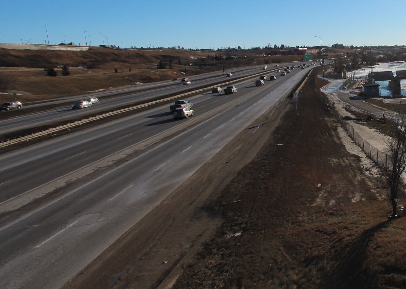
11 places, with real drive times
Road-adjusted distance and drive time from the centre of the community to each destination, nearest first. Filter by category.
Showing 1–11 of 11 places, nearest first.
Method: distances and drive times are estimated from the centre of the community to each destination using Calgary's road grid, and are rounded to honest ranges rather than presented as precise figures. Most of this list sits just outside Manchester's own boundary, because there is little to list inside it.
Every gym within reach
Nothing purpose-built sits inside Manchester. What is nearby is Chinook Centre's commercial studios just south, and the Elbow River pathway network west of the strip.
- Southcentre Mall's commercial gyms are a second option further south
- Riverpark and Sandy Beach's pathways are the free option, west via Elbow Drive
- Elboya School's grounds are the nearest open field space, immediately west
- There is no facility of any kind inside the community's own boundary
| Facility | What it is | Drive |
|---|---|---|
| Chinook Centre fitness studios open | Commercial studios inside and around the mall to the south. | 3–6 min |
| Riverpark & Sandy Beach pathways open | Free option: escarpment and river pathway network west via Elbow Drive. | 5–8 min |
| Southcentre Mall district clubs open | Commercial gyms around the second mall to the south. | 8–12 min |
There is no local option. Everything on this list means leaving the strip.
No school inside the community since 1973
Manchester Elementary closed in 1973 for low enrolment and was demolished in 2004. Nothing has replaced it. Wikipedia's Manchester article names Elboya School (kindergarten to grade 9) immediately west and Henry Wise Wood High School for grades 10 to 12. The two sources do not agree: Henry Wise Wood's own article lists sixteen southwest communities it serves, and Manchester is not one of them.
| School | Board | Note |
|---|---|---|
| Elboya School | Calgary Board of Education | Wikipedia names Elboya School, kindergarten to grade 9, as the community's public designation. The school's own page publishes no attendance area, so confirm it for a specific address. |
| Henry Wise Wood High School | Calgary Board of Education | Grades 10 to 12 at 910 75 Avenue SW, founded in 1961, with 1,862 students in 2025-26. Wikipedia's Manchester article gives it as the senior designation, but the school's own article lists sixteen southwest communities and Manchester is not one of them. The two sources disagree; confirm with the board. |
| No school inside the community | Calgary Board of Education | Manchester Elementary closed in 1973 for low enrolment and was demolished in 2004. Nothing has replaced it. |
Alberta funds Catholic education the same way it funds public education, so there is no tuition for a resident student at either board. Confirm the designation for a specific address: the publishers disagree about the senior high, Elboya's own page prints no attendance area, and with 14% of residents under 15 this is an unusual community to be researching schools for in the first place.
Month by month, what living here looks like
Not a highlights reel: the actual annual rhythm, including the dates residents have to remember.
- 39 Avenue Station's open platform is one of the coldest waits on the Red Line
- Manchester Industrial's warehouse lots stay plowed well before the residential side streets
- The oldest blocks on the strip show their age fastest in a cold snap
- CP switching yard noise carries further across the strip on still nights
- A chinook can clear Macleod Trail's shoulder snowbanks in an afternoon
- 39 Avenue Station's platform crowds thin out once the deep freeze lifts
- Indoor options are scarce here. Residents drive south to Chinook Centre to warm up
- The coldest week of the year often lands here, not in January
- Meltwater pools in Manchester Industrial's loading-dock lots before the drains catch up
- Cleats are the right footwear on the strip's cracked sidewalks
- The 2003-built rental blocks in the southern portion show their winter wear first
- 39 Avenue Station's platform trades ice for slush
- Truck traffic through Manchester Industrial picks up with the construction season
- Last hard frosts: the strip's few street trees leaf out later than anywhere nearby
- Lease-turnover season starts early here, with April 30 move-outs common
- 39 Avenue Station's ridership climbs back toward its weekday peak
- Long evenings do little for a community with almost no green space of its own
- Chinook Centre's parkade fills with Manchester residents on foot
- May 1 lease turnover brings a wave of moving trucks to the narrow strip
- There is almost no private outdoor space here: 89% of the dwellings are in towers
- School lets out, though few families live here to notice
- Peak daylight at the solstice runs over the rail yards to the east
- 39 Avenue Station's platform gets its first genuinely warm commutes
- Manchester Industrial's loading docks run at their busiest through the long days
- Stampede traffic backs onto Macleod Trail past the strip most evenings
- Hottest month, with almost no tree cover to soften it
- CP's yard runs its heaviest summer freight schedule just east of the strip
- 39 Avenue Station's exposed platform offers no real shade at midday
- Manchester Industrial's warehouse lots radiate heat back onto the strip after dark
- Quietest weeks before Chinook Centre's back-to-school rush spills north
- Wildfire haze from the west settles low with little to disperse it
- September 1 lease listings start appearing on the rental blocks
- September 1 is the strip's other big lease-turnover date, after May 1
- First frost typically arrives late in the month
- 39 Avenue Station's morning platform crowds thicken again
- Manchester Industrial's truck traffic peaks with the fall shipping season
- What little colour the strip has comes from the older yard trees along 1 Street
- First snow is normal, and normally melts fast on the paved lots
- Snow tires go on before Macleod Trail gets its first real test
- 39 Avenue Station's platform lighting comes on earlier each week
- Manchester Industrial's lots get priority plowing well before the residential side streets
- Dark by 5pm, and the strip's few streetlights are the main light source
- 39 Avenue Station is a cold wait once the freeze sets in for good
- The strip's few porches collect the season's first real snow load
- A chinook can turn a −20 morning at the station platform into a +5 afternoon
- Outdoor rinks are a drive away. The strip has none of its own
- 39 Avenue Station's holiday-season ridership drops as nearby offices empty out
- Quiet, short days between the holidays, with Manchester Industrial's lots empty
2 more photographs of the community and its surroundings
All freely licensed, via Wikimedia Commons. Filter by category.


Showing 1–2 of 2 photographs.
About these photographs. Openly licensed images geotagged in or near Manchester, found on Wikimedia Commons and served from there with full attribution. Inline photos elsewhere on the page may still come from the site's shared Calgary library.