
.jpg)
The northeast holds 29 of Calgary's 200 communities, running from established inner-city and postwar areas closer to downtown out to the airport lands and the Chestermere border. Coral Springs is the quadrant's one private lake community.
Because Calgary's international airport sits inside the northeast, flight paths and airport-adjacent industrial land shape several of these communities in a way that doesn't apply elsewhere in the city. Worth checking a specific address against the airport's noise exposure area before assuming a northeast community behaves like its counterpart in another quadrant.
29 communities, guide by guide

Abbeydale
A 1976 community on Calgary's eastern edge, straddling the Trans-Canada with Stoney Trail as its boundary.
- 1976
- Established and annexed
- 1.7 km²
- Community land area

Bridgeland/Riverside
A 1911 inner-city community immediately across the Bow from downtown, anchored by the 1 Avenue NE strip and the Calgary Zoo at its eastern edge.
- 1911
- Annexed by Calgary
- 3.0 km²
- Community land area

Castleridge
A 1980 northeast Calgary community bounded by McKnight Boulevard and Falconridge Boulevard, home to Baitun Nur, the largest mosque in Canada.
- 1980
- Established as a community
- 1.2 km²
- Community land area

Cityscape
One of the newest communities in far northeast Calgary. Developed since 2013 around a 115-acre environmental reserve, 5,085 residents in 2021 and still building.
- 2013
- Community developed
- 5,085
- Residents (2021 census)
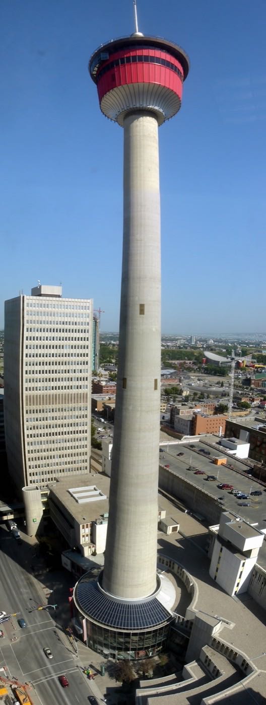
Coral Springs
The northeast's only lake community: sixteen acres of water and a Californian street plan.
- 1991
- Community established
- 1.8 km²
- Community land area
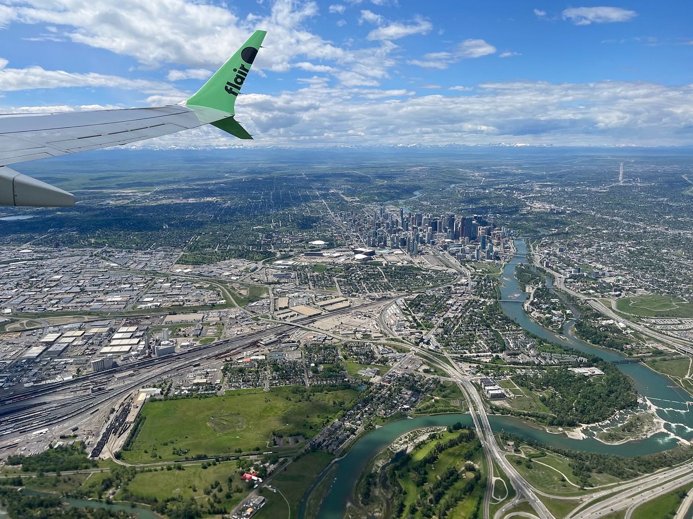
Cornerstone
One of Calgary's newest far-northeast communities, planned on a revived grid layout since 2015, minutes from CrossIron Mills and the airport.
- 2015
- Area structure plan
- 7.6 km²
- Community land area

Country Hills Village
A compact condo community around a public pond, with cinema, groceries and services within a walk.
- 2000s
- Decade built, City of Calgary
- 0.9 km²
- Community land area
Coventry Hills
One of Calgary's most populous communities: nearly sixteen thousand residents and a K–12 ladder inside it.
- 1991
- Community established
- 4.1 km²
- Community land area
Falconridge
A 1979 northeast Calgary community annexed from the Municipal District of Rocky View in 1961, bounded by Falconridge Boulevard, 64 Avenue N, 68 Street E and McKnight Boulevard, next door to Castleridge and the Baitun Nur Mosque.
- 1979
- Established
- 2.2 km²
- Community land area
Greenview
A 0.5 km² community split from the old Thorncliffe/Greenview neighbourhood in 1991, wedged between Deerfoot Trail and Nose Hill Park. Small, dense, and genuinely mixed housing stock rather than a uniform suburb.
- 1991
- Split from Thorncliffe/Greenview
- 0.45 km²
- Community land area
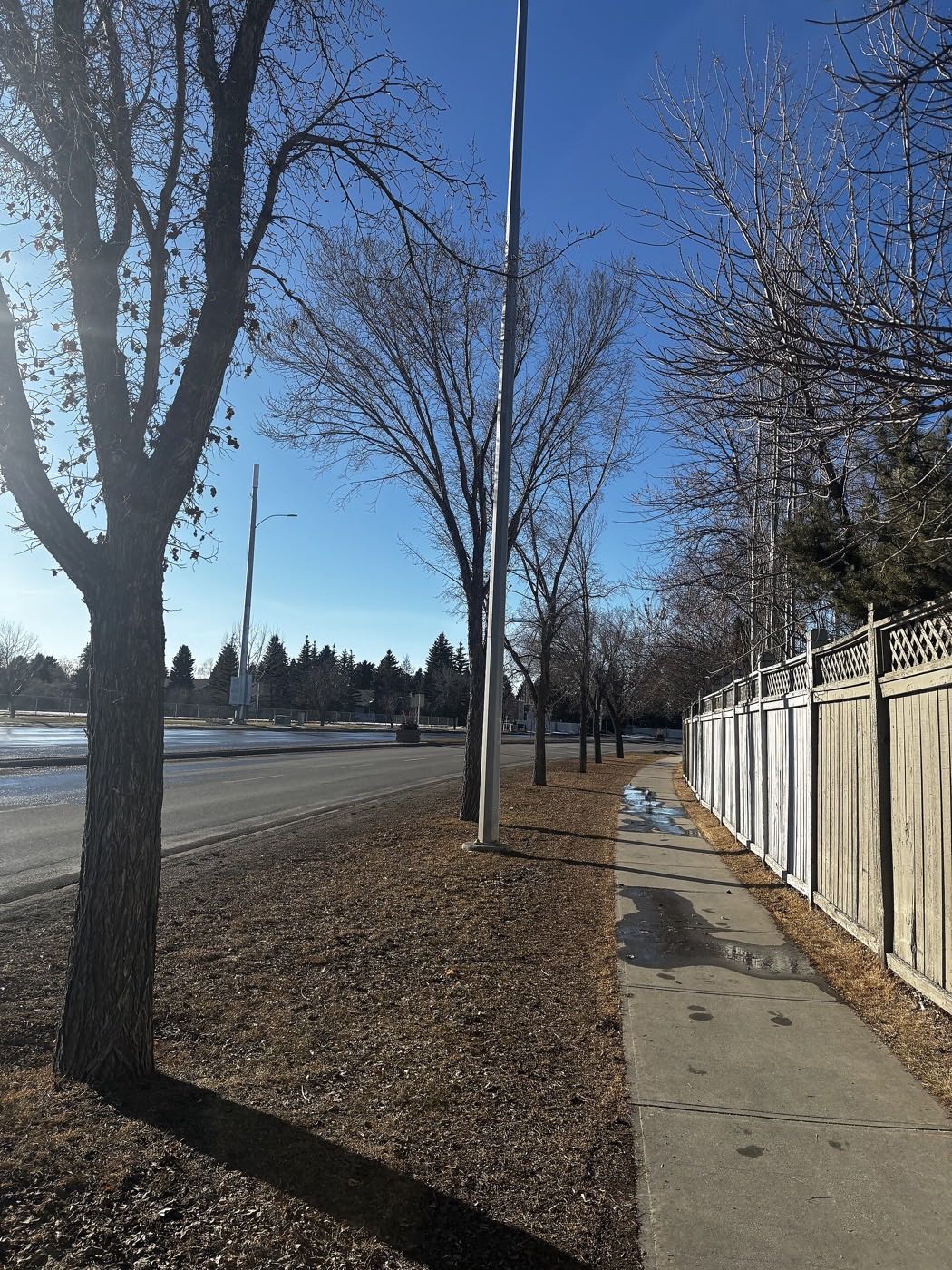
Harvest Hills
A 1987 community around its pond, with the old golf course's redevelopment still reshaping its middle.
- 1987
- Community established
- 2.2 km²
- Community land area
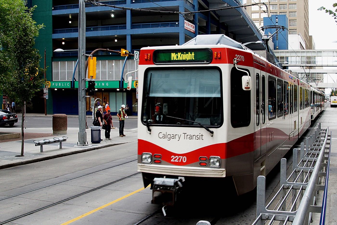
Marlborough
A 1967 northeast community built around its own CTrain station and its own mall, at 36 Street and Memorial Drive.
- 1967
- Community established
- 2.6 km²
- Community land area
Marlborough Park
A 1972 northeast community bounded by the Trans-Canada, Memorial Drive, and 52 and 68 Streets E, about 8 km from downtown with Franklin and Marlborough CTrain stations nearby.
- 1972
- Established (annexed 1961)
- 2.5 km²
- Community land area
Martindale
A northeast Calgary community established in 1983 with its own CTrain station and Saddletowne and the Genesis Centre one stop away.
- 1983
- Established (annexed 1961)
- 2.7 km²
- Community land area

Mayland Heights
A 1962 community on the escarpment above the Bow River, bounded by Deerfoot Trail and the Trans-Canada, a few minutes from the Calgary Zoo.
- 1962
- Community established
- 2.0 km²
- Community land area
Monterey Park
A 1985 northeast community with a deliberate Californian theme, its southern edge sitting directly on the Trans-Canada Highway.
- 1985
- Community established
- 3.5 km²
- Community land area
Pineridge
A 1974 community in the Properties cluster, built around Village Square Leisure Centre and a short ride from the Rundle CTrain station.
- 1974
- Established (annexed 1961)
- 2.6 km²
- Community land area
Redstone
A 2010 master-planned community at the city's northern edge, between Stoney Trail and Métis Trail, that grew from empty land to 9,050 residents in barely a decade.
- 97%
- Of occupied dwellings built in 2011 or later (2021 census)
- 1.9 km²
- Community land area

Renfrew
An inner-city community north of Bridgeland, built in 1950 for returning veterans on a former WWII airfield, with Tom Campbell's Hill as its own hillside view of downtown.
- 1950
- Community established
- 2.7 km²
- Community land area

Rundle
A 1973 community built around its own Blue Line CTrain station, with Sunridge Mall immediately across 36 Street NE.
- 1973
- Established (annexed 1961)
- 2.6 km²
- Community land area
Saddle Ridge
One of Calgary's largest communities, built around the Saddletowne Blue Line terminus in four development phases since the 1990s.
- 1960
- Established
- 5.5 km²
- Community land area
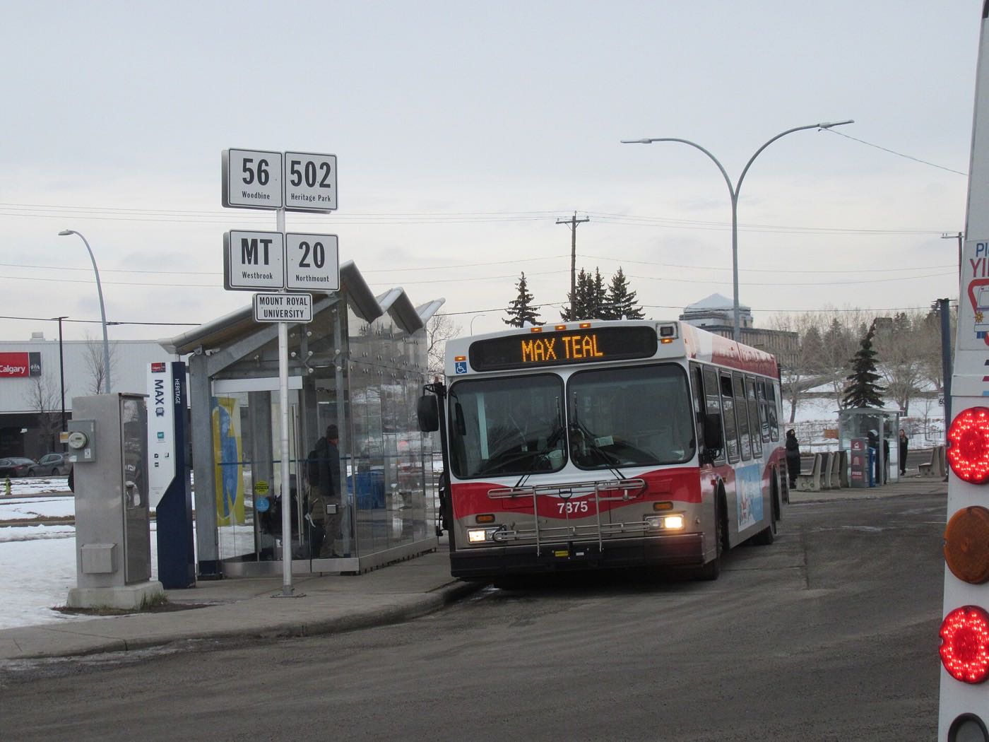
Saddlebrook
A loop of mid-2000s streets on Saddle Ridge's western edge near Métis Trail, named for Calgary Transit's own Route 159 rather than any City of Calgary boundary.
- Saddle Ridge
- Encompassing City of Calgary community (Ward 5)
- 1960
- Saddle Ridge's founding year on the City's record
Savanna
A Genstar community inside Saddle Ridge, east of Métis Trail in the far northeast, with the Savanna Bazaar as its commercial heart and no figures the City publishes under its own name.
- Genstar
- Developer of the community
- 24,365
- Saddle Ridge residents (2021 census)
Skyview Ranch
A far-northeast community built out since 2011, bisected by Country Hills Boulevard and minutes from Stoney Trail, CrossIron Mills and the airport.
- 2011
- Community association registered
- 2.3 km²
- Community land area
Taradale
A 1984 community whose own western boundary, Falconridge Boulevard, carries Saddletowne Station and the Genesis Centre.
- 1984
- Established (land annexed 1961)
- 2.8 km²
- Community land area
Temple
A 1977 northeast Calgary community bracketed by McKnight Boulevard and two CTrain stations, one of four 'Properties' neighbourhoods with Rundle, Pineridge and Whitehorn.
- 1977
- Established (annexed 1961)
- 2.6 km²
- Community land area

Vista Heights
A 1962 inner-city community pressed between Deerfoot Trail and the airport's industrial lands, with a city-owned golf course inside its own boundaries.
- 1962
- Community established
- 1.1 km²
- Community land area
Whitehorn
A 1973 northeast community built around its own Blue Line CTrain station, minutes from Sunridge Mall and the Peter Lougheed Centre.
- 1973
- Community established
- 2.6 km²
- Community land area
Winston Heights/Mountview
A 1932 inner-city community on the escarpment above Nose Creek, with its own golf course and Deerfoot Trail as its eastern boundary.
- 1932
- Established
- 3.0 km²
- Community land area
Photographs: Calgary Energy Centre from Stony Trail by XXBuilderXx, CC BY-SA 4.0, Wikimedia Commons · Flood damage in Calgary, 2013 by David Wilson from Oak Park, Illinois, USA, CC BY 2.0, Wikimedia Commons · McKnight-Westwinds station platform, November 2019 by Johnnyw3, CC BY-SA 4.0, Wikimedia Commons · The CTrain at Saddletowne by David Wilson from Oak Park, Illinois, USA, CC BY 2.0, Wikimedia Commons · The Calgary Tower by Qyd (talk · contribs), CC BY 2.5, Wikimedia Commons · Calgary from the air by Michael Weinold, CC BY 4.0, Wikimedia Commons · North Trail High School from Harvest Hills Blvd, Calgary by Wheresmyspegit, CC BY-SA 4.0, Wikimedia Commons · Snowmelt, February by NameStuffs, CC BY 4.0, Wikimedia Commons · A Calgary CTrain by Bernard Spragg, NZ, CC0, Wikimedia Commons · A little free library at Crossroads by Jack Hope from Calgary, Canada, CC BY 2.0, Wikimedia Commons · Bridgeland Calgary 2004 by Qyd, CC BY 2.5, Wikimedia Commons · Sunridge Mall by User:Thivierr, CC BY-SA 3.0, Wikimedia Commons · Calgary Transit bus by St Clair Witch, CC BY 4.0, Wikimedia Commons · Downtown from Prince's Island by Tamsintj, CC BY-SA 4.0, Wikimedia Commons.

.jpg)

.jpg)

.jpg)


.jpg)
.jpg)


