
Live in Lower Mount Royal
A 1907 CPR subdivision on 0.3 square kilometres below the Upper Mount Royal escarpment, where 92% of the dwellings are apartments.
Lower Mount Royal was established in 1907, three years after Mount Royal itself, as the lower blocks of the CPR's subdivision on the hill: 0.3 km², 2,990 residents in 2,010 private households at the 2021 census, with 70% of households renting. Ninety-two per cent of the occupied dwellings are apartments, 71% of them in buildings under five storeys, and 64% of households are a single person. The 17 Avenue SW strip runs along the northern edge, downtown is a few minutes further, and the escarpment along Cameron and Royal Avenues separates this pocket from Upper Mount Royal above it.
The rental pocket under Upper Mount Royal's escarpment
Bounded by 17 Avenue SW to the north, College Lane SW to the east, Cameron Avenue SW and Royal Avenue SW (the escarpment separating it from Upper Mount Royal) to the south, and 14 Street SW to the west. Ward 8.
Lower Mount Royal was established in 1907, three years after Mount Royal itself, as the lower blocks of the CPR's subdivision on the hill. At the 2021 census: 0.3 km², 2,990 residents in 2,010 private households, with 70% of households renting against 31% across Calgary.
The escarpment above. Cameron and Royal Avenues mark the ridge separating this community from Upper Mount Royal on the hill: the same subdivision, split by geography into two entirely different housing markets. The area was originally called American Hill, for the American business elite who took the hill, and Mount Royal is named after Montreal's, home of CPR president William Van Horne.
The stock reflects the split. 92% of occupied dwellings here are apartments, 71% of them in buildings under five storeys, against 1% single-detached, and 37% of the stock went up between 1961 and 1980. 64% of households are a single person and the average household is 1.5 people. Most of what is for sale is a unit in a walk-up, not a house.
What it costs. Median household income was $57,600 in 2020, well below the citywide $98,000, and 37% of households spent 30% or more of their income on shelter against 23% across the city. Mount Royal's reputation as one of Calgary's wealthiest addresses belongs to the hill above; this is the pocket underneath it. The trade is the walk: 16% of employed residents walked to work and 14% took transit, four times and one and a half times the city rates.
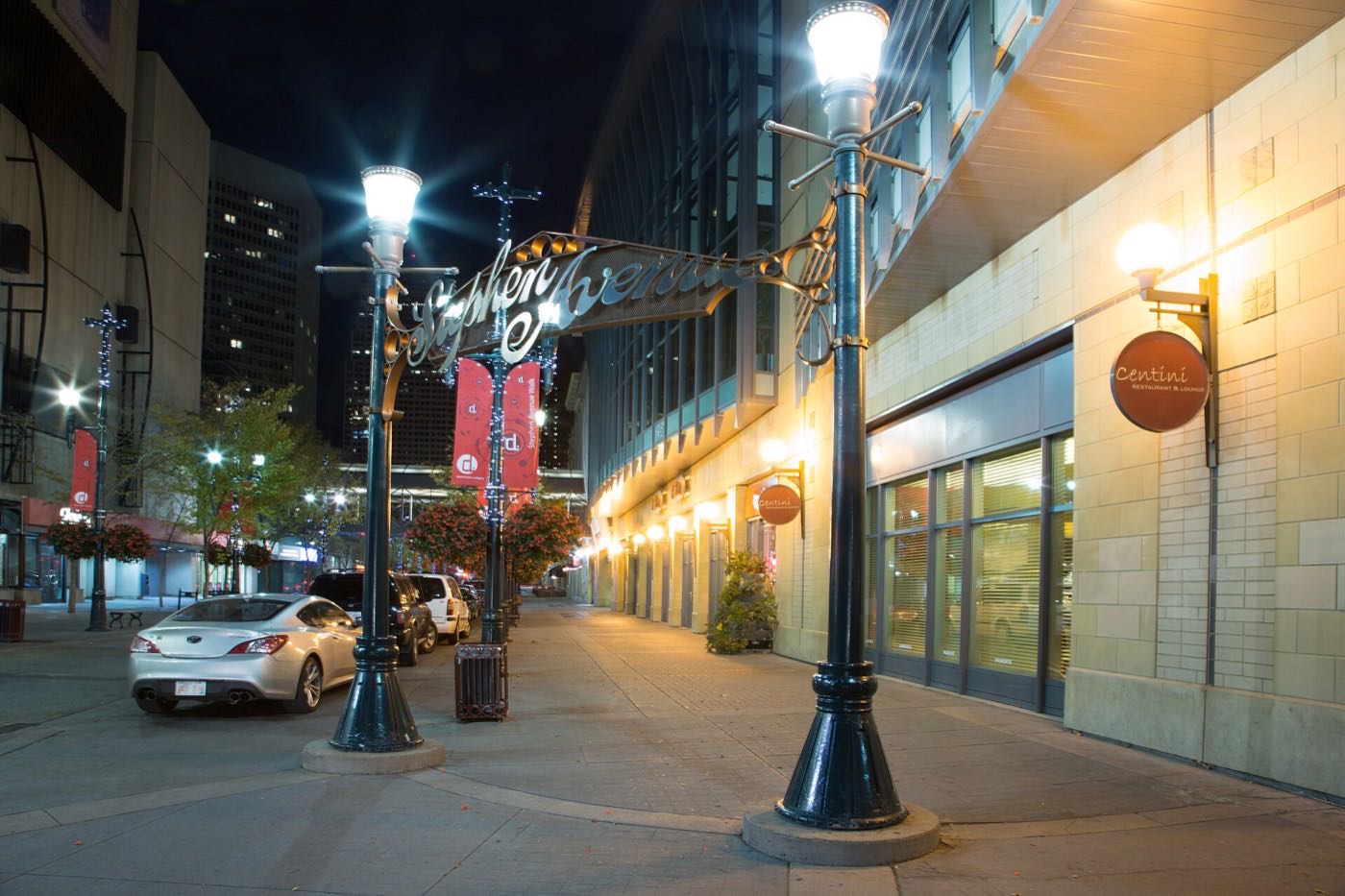
- 70% of households rent, well above the citywide 31% renter share
- 92% of occupied dwellings are apartments, 71% of them in buildings under five storeys
- 17 Avenue's noise and patio crowds carry into the lowest floors on a warm night
- Parking is street and lane only. Confirm what a specific unit actually includes before you buy
- 37% of households spend 30% or more of income on shelter, against 23% citywide
How Lower Mount Royal got here
- 1904Mount Royal is established on the hill above, informally called American Hill for the American settlers who took it, and named after Montreal's Mount Royal, home of CPR president William Van Horne.
- 1907Lower Mount Royal is established as the lower blocks of the same subdivision.
- 1914Rapid development across Mount Royal, which ran from 1904, tails off.
- 1929Western Canada College, founded in 1903 on the community's northern edge at 641 17 Avenue SW, becomes Western Canada High School.
- 1934The Mount Royal Community Association registers as a provincial society on 22 January. Its hall is at 2317 10 Street SW.
- 2019The City's last civic census counts 3,457 residents and 2,430 dwellings, 2,345 of them occupied and only 536 owner-occupied.
- 2021The federal census records 2,990 residents in 2,010 private households, 70% of them renting, with a median household income of $57,600 for 2020.
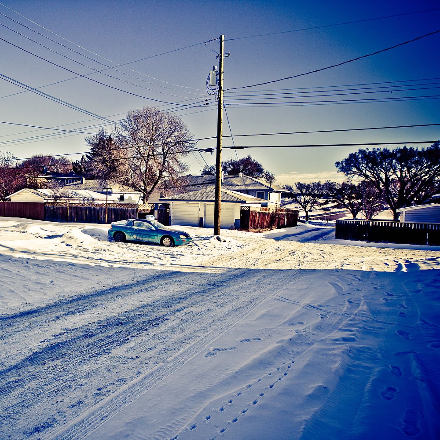
Cameron and Royal Avenues: the ridge that splits Mount Royal in two
No publisher this guide could open names a park inside Lower Mount Royal. The community's green space is Central Memorial Park, a short walk into the Beltline, and the escarpment along Cameron and Royal Avenues that climbs from the pocket's southern edge into Upper Mount Royal. The Mount Royal Community Association, at 2317 10 Street SW, runs an outdoor skating rink and sports fields for the wider community.
What the map does not show: the climb up the escarpment is the fastest route to Upper Mount Royal's quiet streets and one of the better fall-colour walks in the inner city, worth using even if you never buy up there.
Elsewhere in Calgary, not Lower Mount Royal

15 places, with real drive times
Road-adjusted distance and drive time from the centre of the community to each destination, nearest first. Filter by category.
Showing 1–12 of 15 places, nearest first.
Method: distances and drive times are estimated from the centre of the community to each destination using Calgary's road grid, and are rounded to honest ranges rather than presented as precise figures. Several of the closest destinations below are a walk, not a drive.
Every gym within reach
There is no large recreation centre inside the pocket. What Lower Mount Royal has instead is a strip of studios on 17 Avenue, which no publisher this guide could open lists, and the MNP Community & Sport Centre a few minutes east.
- An aquatic and fitness centre open since September 1983, renamed from the Repsol Sport Centre in spring 2022
- 17 Avenue's own studios are on foot, but no publisher this guide could open lists them
- Shaganappi Point Golf Course is the seasonal option, west across Crowchild Trail
- Central Memorial Park's pathways are the free option, in the neighbouring Beltline
| Facility | What it is | Drive |
|---|---|---|
| MNP Community & Sport Centre open | Aquatic and fitness centre at 2225 Macleod Trail South, open since September 1983 and renamed from the Repsol Sport Centre in spring 2022. | 5–7 min |
| 17 Avenue boutique studios open | Studios along the strip itself. No publisher this guide could open lists them, so check what is trading. | 1–2 min |
| Shaganappi Point Golf Course open | The seasonal option, west across Crowchild Trail. | 5–8 min |
| Central Memorial Park pathways open | Free option: the nearest real green space, in the Beltline. | 3–5 min |
Most residents use the strip or the MNP centre: the pocket itself has no field, pool or rink of its own.
No school inside the pocket
Nothing sits inside the community's own 0.3 km². Western Canada High School, at 641 17 Avenue SW on the northern edge, names Mount Royal among the neighbourhoods it serves and ran 2,229 students in 2025-26. Connaught School, a CBE kindergarten-to-9 school in the adjoining Beltline, publishes no attendance area, so the elementary designation is unconfirmed here. Wikipedia and the Federation of Calgary Communities both name Earl Grey and Mount Royal schools for Mount Royal, but those sit above the escarpment.
| School | Board | Note |
|---|---|---|
| Western Canada High School | Calgary Board of Education | Grades 10 to 12 at 641 17 Avenue SW, on the community's northern edge. Its own article names Mount Royal, Mission, Cliff Bungalow and Connaught as the neighbourhoods it serves. Enrolment was 2,229 in 2025-26. |
| Connaught School | Calgary Board of Education | A CBE school running kindergarten to grade 9 in the adjoining Beltline. Its page publishes no attendance area, so the designation is unconfirmed here. |
| Earl Grey School | Calgary Board of Education | Named by both Wikipedia and the Federation of Calgary Communities as a Mount Royal school. It sits up the hill in Upper Mount Royal, not inside this pocket. |
| Mount Royal School | Calgary Board of Education | The junior high both Wikipedia and the Federation name for Mount Royal. It also sits above the escarpment rather than inside Lower Mount Royal. |
Alberta funds Catholic education the same way it funds public education, so there is no tuition for a resident student at either board. Confirm the designation for a specific address before you buy: nothing this guide could open names a Catholic school for this pocket, and the Calgary Catholic School District's site refuses automated clients.
Month by month, what living here looks like
Not a highlights reel: the actual annual rhythm, including the dates residents have to remember.
- Balconies facing north catch the full glare of downtown's office towers through the dark evenings
- The climb up the escarpment to Upper Mount Royal ices over first and clears last of any incline nearby
- Connaught School's playground goes quiet under a season's worth of packed snow
- 1960s low-rises without updated glazing run space heaters hard through the coldest stretches
- A chinook off the escarpment can strip the back-lane parking pads bare in an afternoon
- The MNP Community & Sport Centre's pool is the warmest square metre within reach
- 17 Avenue's east-end diners keep a late crowd even through the cold snaps
- The walk up to Sunalta Station gets a stiff wind funnel off the open rail cut
- Meltwater off the Upper Mount Royal escarpment runs straight down through the back lanes
- Condo AGM season starts well ahead of the real moving rush
- 17 Avenue's first patio tables go out the moment the sidewalk salt disappears
- Central Memorial Park's paths reopen as the last packed snow clears
- Rental listings start appearing months ahead of the September turnover
- The escarpment walk up to Upper Mount Royal comes back into use
- Connaught School's field goes soft weeks before it's playable again
- Downtown's lit windows are visible from the upper-floor units well into the evening
- 17 Avenue's patios fill fast, and the noise carries into the low-rises above
- Central Memorial Park's lawns green up ahead of most inner-city green space
- Sunset past 9pm turns the walk to Sunalta Station into a genuine evening habit
- Rental viewings pick up hard as the September turnover approaches
- School lets out at Connaught and the neighbourhood's few kids disappear to camps
- The MNP Community & Sport Centre sees its heaviest weekday traffic
- 17 Avenue's restaurant patios run at capacity most nights
- Window air conditioners go into the low-rise units ahead of the hottest stretch
- Stampede week turns the strip below into a wall of noise that carries straight into every unit facing north
- The escarpment is the fastest walk down to the Stampede grounds on parade morning
- Units without air conditioning get genuinely uncomfortable on the hottest days
- Downtown's event noise and fireworks carry easily up from the valley floor
- Renters start touring in earnest for September leases, well before the heat breaks
- 17 Avenue's patios stay busy into the evening while the warm nights hold
- The MNP Community & Sport Centre stays busy through the last of the summer
- Central Memorial Park's grass browns out without much irrigation
- September's lease turnover is the real moving season here. Trucks double-park the narrow lanes for a full week
- Connaught School's morning drop-off traffic returns to the Beltline
- Condo boards send fall assessment notices ahead of the heating season
- 17 Avenue's dinner crowds return as the patio season winds down
- The escarpment path up to Upper Mount Royal is one of the better fall-colour walks in the inner city
- Low-rise boards schedule furnace inspections ahead of the cold
- The strip's patio furniture comes indoors block by block as the evenings cool
- First snow is normal here, and normally melts within the week
- Units in the older low-rises start showing their heating bills fast
- The walk to Sunalta Station gets noticeably colder on the exposed rail-cut stretch
- The dinner crowd on the strip below moves indoors for the season, muffling the usual street noise
- The escarpment path gets its first ice of the season, unlit after five
- Holiday lights along 17 Avenue are visible from most of the upper-floor units
- Downtown's holiday lighting is a genuine nightly view from the escarpment-facing blocks
- Connaught School's field freezes solid and goes quiet for the break
- Cameron Avenue's grade above the community keeps a crust of ice long after 17 Avenue is bare
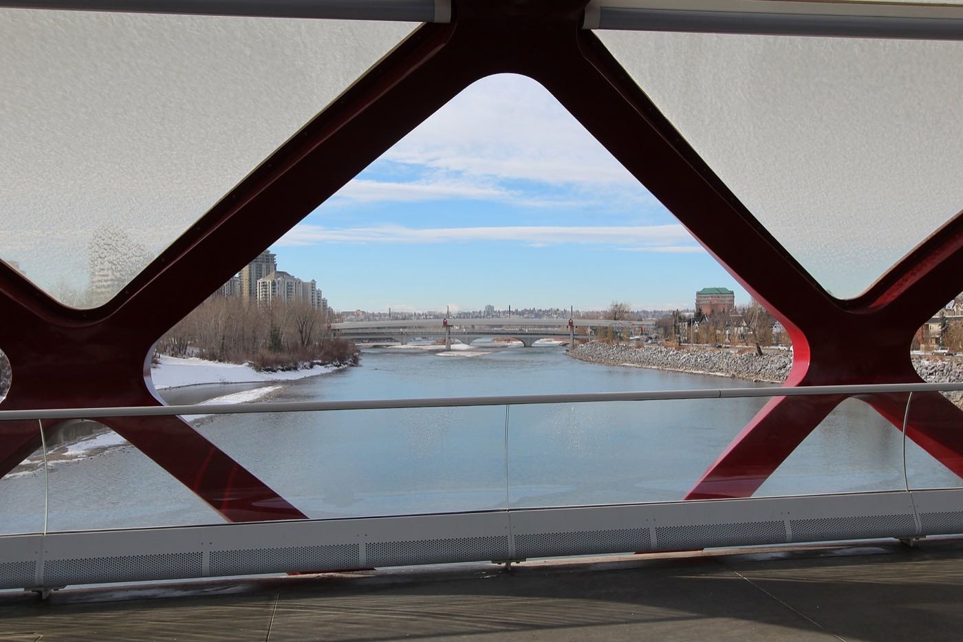
3 more photographs of the community and its surroundings
All freely licensed, via Wikimedia Commons. Filter by category.


Showing 1–3 of 3 photographs.
About these photographs. Openly licensed images geotagged in or near Lower Mount Royal, found on Wikimedia Commons and served from there with full attribution. Inline photos elsewhere on the page may still come from the site's shared Calgary library.