
Live in Springbank Hill
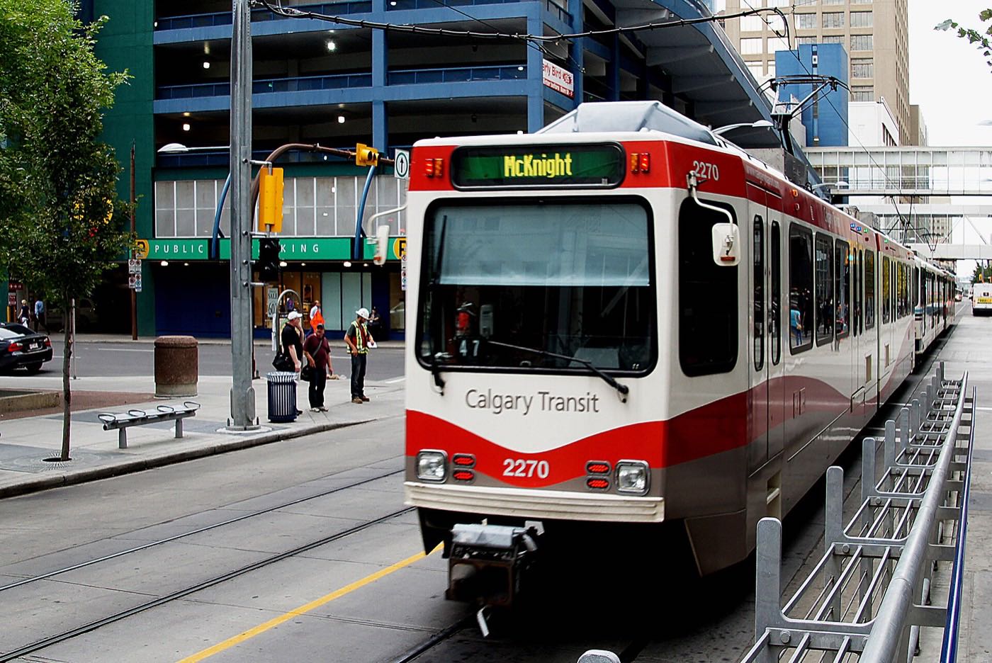
Calgary's largest southwest edge community, running from LRT-side condos near 69 Street down to gated acreage estates in The Slopes, and still filling in on its southern lots.
Springbank Hill was established in 1999 on land annexed to the city in 1994: 6.3 km², 9,840 residents in 3,280 private households at the 2021 census, with 16% renting. It is one of the largest communities on Calgary's western edge, running from the condos and townhouses near the 69 Street LRT terminus down to the gated estate lots of The Slopes and Summit of Montreux. Ernest Manning High School and Ambrose University both sit inside its boundaries, and Griffith Woods Park, the 93-hectare natural area on the Elbow River, is a short drive south in neighbouring Discovery Ridge. The scale cuts both ways: the northern streets have been settled for two decades while the City still classes the community as developing and building out.
A 1999 community spanning condos to acreage estates
Bounded by 17 Avenue SW to the north, 69 Street SW to the east, Stoney Trail to the south, and 101 Street SW to the west, as Wikipedia gives them. The Federation of Calgary Communities gives the association's south boundary as Glenmore Trail and its west as the Stoney Trail corridor. Ward 6.
Springbank Hill was established in 1999 on land annexed to the city in 1994. At 6.3 km² it is one of the largest communities on Calgary's western edge, and by the 2021 census it held 9,840 residents in 3,280 private households, 16% of them renting. The City still classes it as developing and building out. The boundary polygon the City publishes computes to 6.45 km², a little larger than the 6.3 km² figure carried here.
The two ends. The northern streets, near the 69 Street CTrain station and Aspen Landing, are condos, townhouses and standard single-family lots settled for two decades. The southern end: The Slopes and Summit of Montreux: is gated, acreage-scale and still building out lot by lot. Buying here means being precise about which Springbank Hill you are actually looking at.
Ernest Manning High School at 20 Springborough Boulevard SW and Ambrose University at 150 Ambrose Circle SW both sit inside the community's boundaries, which is unusual for a suburb this far out. Ernest Manning had 1,683 students in 2021 and draws grades 10 to 12 from seven communities, Springbank Hill among them. Griffith Woods Park, the 93-hectare natural environment park the City established in 2000 on the Elbow River, is close but not inside: its address is 45 Discovery Ridge Link SW, in the next community over.
What it costs. Median household income was $152,000 in 2020 against $98,000 across Calgary, among the highest figures on this site. The trade is scale: Springbank Hill is large enough that a five-minute drive can separate a townhouse block from a half-acre estate lot, and the honest downside is that the community does not read as one place. The two publishers do not even agree on where it ends: Wikipedia puts the south boundary at Stoney Trail, the Federation of Calgary Communities at Glenmore Trail.
- The City's own classification is Developing and Building Out, so construction traffic is not finished here
- Griffith Woods School, the nearest CBE K-9, publishes no attendance area: the board's address lookup is the only place a designation appears
- The exposed western ridge carries real wind and holds snow later than the sheltered inner city
- 17 Avenue and Old Banff Coach Road carry the school-run and commuter traffic, and both back up at peak times
- "Springbank Hill" on a listing can mean a condo near the LRT or a multi-million-dollar acreage: confirm which end
How Springbank Hill got here
- 1994The land is annexed by the City of Calgary.
- 1999Springbank Hill is established on the city's western edge.
- 2001The Springbank Hill Community Association is registered on February 1.
- 2011Ernest Manning High School opens inside the community in September, on Springborough Boulevard SW.
- 201269 Street station opens on December 10 as the Blue Line's western terminus.
- 2021Federal census records 9,840 residents in 3,280 private households, 16% of them renting.
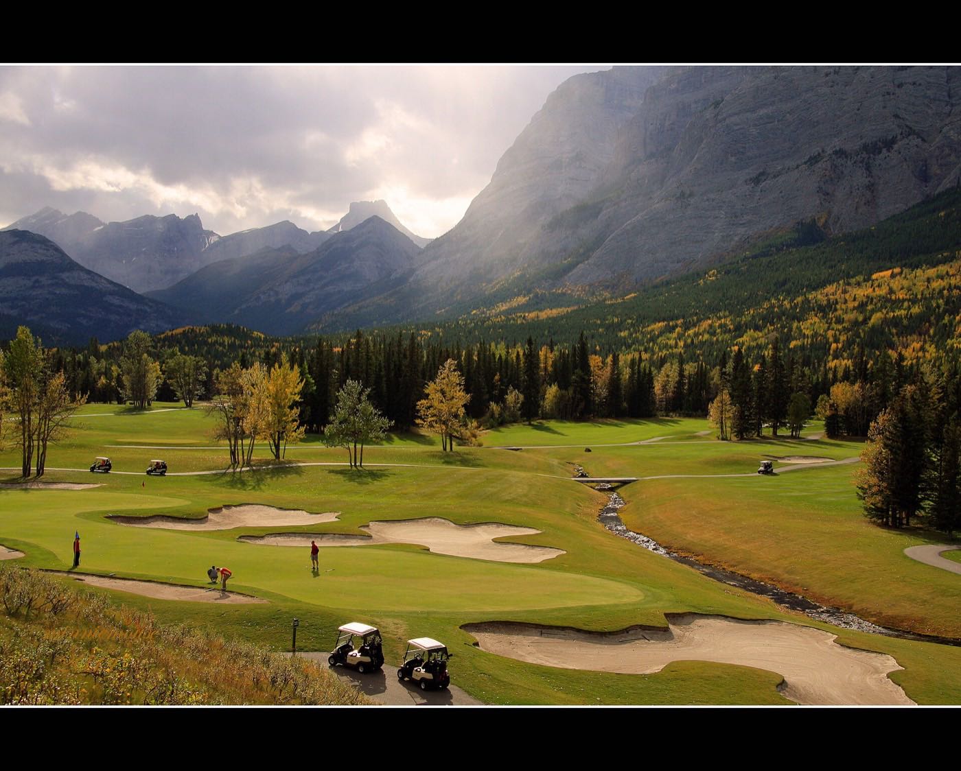
The Elbow River valley at the southern edge
Griffith Woods Park is a 93-hectare natural environment park on the Elbow River at 45 Discovery Ridge Link SW, south and east of Springbank Hill: paved pathways and gravel trails, all of them flat, a self-guided walking tour, and one of the closer stretches of genuine river valley on this side of the city. Wilbur and Betty Griffith donated part of their estate to the City, which established the park in 2000. The City lists no off-leash area here.
What the map does not show: the park is a real amenity only for the southern half of the community, and it is not in the community at all. A northern-edge condo near the LRT is a drive from it, not a walk.
Elsewhere in Calgary, not Springbank Hill



16 places, with real drive times
Road-adjusted distance and drive time from the centre of the community to each destination, nearest first. Filter by category.
Showing 1–12 of 16 places, nearest first.
Method: distances and drive times are estimated from the centre of the community to each destination using Calgary's road grid, and are rounded to honest ranges rather than presented as precise figures. Because the community spans 6.3 km², a specific address can run meaningfully closer or further than the figures below.
Every gym within reach
Westside Recreation Centre, by the 69 Street terminus, is the closest facility for most of the community, though no publisher we could open describes what is inside it. WinSport is further but genuinely close by Calgary standards.
- It appears on neither the City's pools list nor its arenas list, and its own site refuses automated clients, so the facility mix here is unverified
- Canada Olympic Park (WinSport) adds a three-run ski hill, four ice arenas and the 1988 sliding track, nine to fourteen minutes north
- Rundle College is an independent day school on 17 Avenue SW; it publishes summer camps and no community fitness membership
- Griffith Woods Park's flat pathways are the free option, five to eight minutes south
| Facility | What it is | Drive |
|---|---|---|
| Westside Recreation Centre open | The closest recreation centre, by the 69 Street terminus. The City does not list it among its pools or arenas, and the centre's own site refuses automated clients, so nothing here confirms its facility mix. | 6–8 min |
| Canada Olympic Park (WinSport) open | WinSport's ski hill, four ice arenas and the 1988 bobsleigh and luge track, north of the Trans-Canada. | 9–14 min |
| Griffith Woods Park pathways open | Free option: paved pathways and gravel trails through the 93-hectare park on the Elbow River, all of them flat. | 6–9 min |
| Rundle College open | Independent day school on 17 Avenue SW. It publishes summer camps across its divisions and no community fitness membership. | 5–7 min |
Which one is convenient depends on which end you live in. The park pathways serve the south; the recreation centre and WinSport serve the north.
A high school and a university inside, a K-9 next door
Ernest Manning High School and Ambrose University both sit inside Springbank Hill. Griffith Woods School, a CBE kindergarten to grade 9, sits just outside in Discovery Ridge; its site publishes no attendance area and no capacity figure, so which addresses it takes is not something we can show you. Rundle College, independent and K to 12, runs two buildings on 17 Avenue SW.
| School | Board | Note |
|---|---|---|
| Ernest Manning High School | Calgary Board of Education | Grades 10 to 12 at 20 Springborough Boulevard SW, open since September 2011, with 1,683 students in 2021. It serves Aspen Woods, Christie Park, East Springbank, Signal Hill, Springbank Hill, Strathcona Park and West Springs. |
| Ambrose University | Post-secondary | Christian university at 150 Ambrose Circle SW, formed in 2007 from Alliance University College and Nazarene University College and on this 23-acre campus since 2008. |
| Griffith Woods School | Calgary Board of Education | Kindergarten to grade 9 in neighbouring Discovery Ridge. The school publishes no attendance area or capacity figure. |
| Rundle College | Independent | Independent day school on 17 Avenue SW: kindergarten to grade 6 at 7615, grades 7 to 12 at 7375. |
| Designated schools | Both boards | The CBE assigns a designated school by home address and chosen program, and publishes it only through the address lookup on its Find a School page. No Catholic school is published as sitting inside Springbank Hill, and the Calgary Catholic School District's site refuses automated clients, so nothing on the Catholic side here was read from the district itself. |
Alberta funds Catholic education the same way it funds public education, so there is no tuition for a resident student at either board. Confirm the designation for a specific address before you buy: the CBE assigns a designated school by home address and program and publishes it only through the address search on its Find a School page. No Catholic school is published as sitting inside Springbank Hill, and the Calgary Catholic School District's site refuses automated clients, so nothing on the Catholic side here was read from the district itself.
Month by month, what living here looks like
Not a highlights reel: the actual annual rhythm, including the dates residents have to remember.
- The Slopes' private estate roads are the last in the community to see a plow after a heavy snow
- Ernest Manning's students face the longest cold walk of the year between the school and the 69 Street terminus
- Summit of Montreux's newest streets still show bare boulevard trees, too young to cut the wind
- Griffith Woods Park's trail down to the Elbow is quiet and nearly untouched on the coldest mornings
- A chinook off the ridge clears snow from Springbank Hill's exposed acreage lots faster than it clears the valley floor
- Griffith Woods School's kindergarten registration for the coming year runs while the ridge is still under snow
- Ambrose University's reading week thins the crowd at the 69 Street park-and-ride for a few days
- The community's mix of half-acre lots and townhouse blocks means two very different heating bills on the same street
- Meltwater runs hard down the ridge streets in Summit of Montreux before the storm drains keep up
- Rundle College's spring sports tryouts start indoors while the fields are still too wet to use
- Cleats are the right footwear on the Griffith Woods Park switchbacks down toward the Elbow River
- New foundations go in on Springbank Hill's remaining acreage lots as the ground thaws
- Ernest Manning's outdoor track season starts on the school's own fields
- Griffith Woods Park's flat gravel trails along the Elbow dry out first, south in Discovery Ridge
- The Slopes' estate lots bring their landscaping crews back for the season
- Deer move off the escarpment into the mature yards along the community's older streets
- Sunset past 9pm turns the ridge streets above Griffith Woods Park into a favourite evening walk
- Aspen Landing's patios fill on the first warm weekend, a short run north across 17 Avenue
- The 69 Street park-and-ride fills before 7am once Ambrose's spring term overlaps the morning commute
- Building permits go up on Summit of Montreux's final unbuilt phase
- Ernest Manning closes its year with an outdoor ceremony on the school field
- The Slopes' acreage lawns, the largest private lots in the community, get their first full cut of the season
- Griffith Woods Park's trailheads see their first real weekend crowds once school lets out
- Ambrose University's campus quiets as the spring term wraps
- Stampede traffic on 69 Street thins out as commuters take the week off
- The Trans-Canada west toward Kananaskis carries the community's heaviest Friday-evening traffic
- Griffith Woods Park's valley floor stays several degrees cooler than the ridge streets above it
- Estate sprinklers across The Slopes run daily through the driest stretch of summer
- Ernest Manning posts its September supply list as Ambrose's residence fills for the fall term
- Kananaskis-bound traffic on the Trans-Canada is visible from the ridge on clear evenings
- Summit of Montreux's last lots see a construction push before the fall selling season
- Ernest Manning draws its grade 10 intake from seven communities, and the August move-in traffic shows it
- Ernest Manning and Griffith Woods both restart the same week, doubling the Old Banff Coach Road school run
- Ambrose's returning students and the morning commute converge on the 69 Street lot together
- First frost usually settles on The Slopes' exposed ridge lots before it reaches the valley floor
- Rundle College's fall sports season opens on the school's own fields, on the community's northern edge
- Peak colour runs down through Griffith Woods Park toward the Elbow River
- Snow tires go on before the first real snowfall reaches Summit of Montreux's ridge lots
- The Slopes' acreage owners post their fall maintenance notices ahead of the first hard freeze
- The CBE's address lookup is the only place a designation for a specific Springbank Hill address is published
- Ernest Manning's winter concert opens the community's holiday calendar
- Wind-driven snow off the ridge makes The Slopes' private roads the last to get cleared
- The 69 Street park-and-ride fills earlier each week as the shorter daylight compresses the commute
- Ambrose University's fall term winds toward exams as the escarpment gets its first real ice of the season
- A chinook can turn a −20 start into a +5 afternoon on the exposed ridge above Griffith Woods Park
- The Slopes' estate homes have the community's best sightlines for the western chinook arch
- Griffith Woods Park stays open through the holidays for walkers willing to bundle up
- Rundle College and Ernest Manning both break for the holidays in the same week
3 more photographs of the community and its surroundings
All freely licensed, via Wikimedia Commons. Filter by category.


Showing 1–3 of 3 photographs.
About these photographs. Openly licensed images geotagged in or near Springbank Hill, found on Wikimedia Commons and served from there with full attribution. Inline photos elsewhere on the page may still come from the site's shared Calgary library.