Live in Crestmont
The city's far southwest edge, cut off from the rest of Calgary by the Trans-Canada Highway, with Rocky View County's open land on two sides and a single bus route.
Crestmont sits on Calgary's western edge, 2.7 km² at 1,190 m, the fourteenth-highest reference point of the Calgary guides on this site: 2,275 residents in 760 private households at the 2021 census, with renters at just 5%. The City records its community structure as 2000s, and the numbers bear that out: 51% of the occupied dwellings were built between 2001 and 2010 and another 36% between 2016 and 2021. The Trans-Canada Highway cuts the community off from the rest of the city to the north, Rocky View County's undeveloped land runs along its western and northern edges, and Old Banff Coach Road is the only other way out. The isolation is the honest headline here, not a footnote: 89% of employed residents drive to work and 2% take transit.
The city's last stop before Rocky View County
Bounded by the Trans-Canada Highway to the north (Valley Ridge and the Bow River valley beyond) Old Banff Coach Road to the south against Cougar Ridge, roughly 101 Street W to the east, and undeveloped Rocky View County land to the west. Ward 1.
The isolation is the story. Crestmont sits on Calgary's far western edge: 2.7 km² at 1,190 m, the fourteenth-highest reference point of the Calgary guides here, with 2,275 residents in 760 private households at the 2021 census. The Trans-Canada Highway forms the community's entire northern boundary, physically separating it from the rest of the city, and Rocky View County's undeveloped land runs along its western and (beyond the highway) northern edges too. Old Banff Coach Road, south to Cougar Ridge, is the only other way in or out.
This is not a walkable, transit-served pocket. Calgary Transit runs a single route, 408, through the community, and 89% of employed residents drive to work against just 2% by transit and 1% on foot. The Trans-Canada is the only fast way in, and it shows in the commute: 28% of employed residents are 30 to 44 minutes from work, against 22% across the city.
Still building. Renters are just 5% of households, owners 95%, and 91% of occupied dwellings are single-detached, with no apartment building of any height. 36% of the housing dates from 2016 to 2021 and 51% from 2001 to 2010: the community has more than half again the 1,454 residents the 2012 civic census counted. Median household income was $172,000 in 2020, against $98,000 city-wide, which makes the isolation a choice rather than a compromise for most who buy here.
There is no school inside the community. Bowness High School is the nearest CBE senior high, a real commute back across the highway, though neither board publishes an attendance area on any page this guide could open. The community facility is Crestmont Hall, run by the Crestmont Homeowners' Association at 12400 Crestmont Boulevard SW, with a spray park, fire pit, playground and childcare.
- The Trans-Canada Highway physically separates Crestmont from the rest of Calgary. This is not a figure of speech
- A single Calgary Transit route serves the community; 89% of employed residents drive to work and 2% take transit
- No school sits inside Crestmont. Every student is bused or driven out
- Parts of Crestmont West and Crestmont View are still under active construction
- One road connects to Old Banff Coach Road: a closure there is a real problem, not an inconvenience
How Crestmont got here
- 2001–2010Half the community goes up: 51% of the occupied dwellings recorded in 2021 date from this decade, and the City records Crestmont's community structure as 2000s.
- 2012The civic census counts 1,454 residents in 462 dwellings on 0.6 km², a fraction of the community that exists now. Wikipedia still carries those figures.
- 2016–2021A further 36% of the occupied dwellings go up, the newest phases pushing west and south.
- 2019The City's last civic census counts 1,690 residents in 673 dwellings, only 545 of them occupied: the gap is unbuilt and unsold new stock.
- 2021The federal census records 2,275 residents in 760 private households: 95% owner households, 91% single-detached houses, and a median household income of $172,000 in 2020.

Ponds, a spray park and the county edge
Crestmont's own green space is small and entirely internal: ponds, trails, and the spray park, fire pit and playground the Crestmont Homeowners' Association runs at Crestmont Hall, 12400 Crestmont Boulevard SW. Beyond the community's edge, west and north, is undeveloped Rocky View County land rather than another Calgary park. Nothing this guide could open publishes a pond count or a trail length, so neither appears here as a figure.
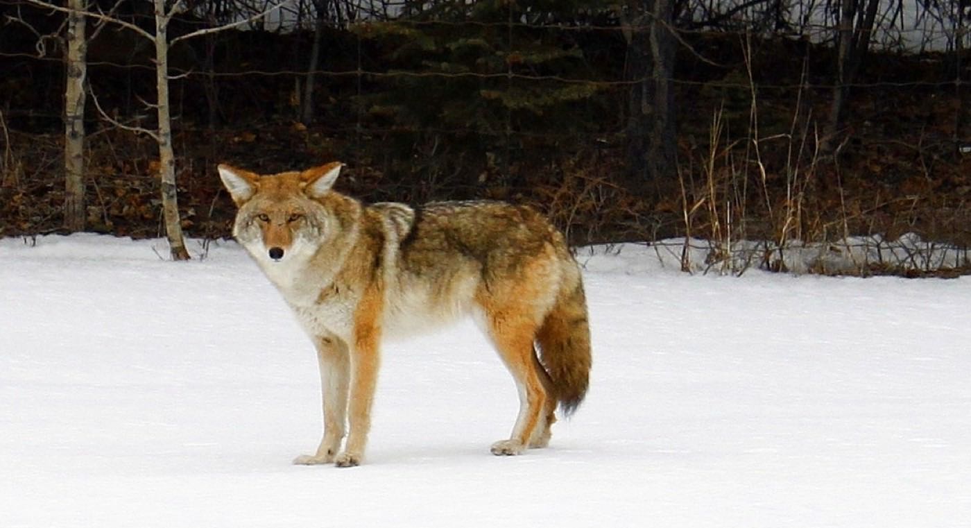
What the map does not show: deer and coyotes off the county land are a routine sight along the western edge: the flip side of having no built-out neighbour on that side at all.
Elsewhere in Calgary, not Crestmont


11 places, with real drive times
Road-adjusted distance and drive time from the centre of the community to each destination, nearest first. Filter by category.
Showing 1–11 of 11 places, nearest first.
Method: distances and drive times are estimated from the centre of the community to each destination using Calgary's road grid, and are rounded to honest ranges rather than presented as precise figures. Nearly everything on this list requires the Trans-Canada or Old Banff Coach Road: there is no third route out of Crestmont.
Every gym within reach
There is no recreation centre inside Crestmont. The nearest paid options are a genuine drive; the community's own trail loop is the free one most residents actually use daily.
- A ski and snowboard hill, a tube park, lift-served mountain biking, arenas and the Performance Training Centre
- Westside Recreation Centre is east via Old Banff Coach Road, though its own site refuses automated clients, so this guide does not list what is inside it
- The Melcor YMCA at Crowfoot, 8100 John Laurie Blvd NW, is the nearest YMCA, a longer run north
- The community's own trails, ponds and spray park are the free, everyday option
| Facility | What it is | Drive |
|---|---|---|
| Crestmont Hall & trail loop open | Free option: the Crestmont Homeowners' Association's hall grounds at 12400 Crestmont Boulevard SW, with a spray park, fire pit and playground, plus the community's ponds and trails. | 1–2 min |
| Canada Olympic Park (WinSport) open | Ski and snowboard hill, tube park, mountain bike park, arenas and the Performance Training Centre at 88 Canada Olympic Road SW. | 8–11 min |
| Westside Recreation Centre open | Large community-run recreation centre east via Old Banff Coach Road. Its own site refuses automated clients, so its facilities are not listed here. | 12–18 min |
| Melcor YMCA at Crowfoot open | YMCA at 8100 John Laurie Blvd NW, north via Route 408's corridor. YMCA Calgary publishes hours but no per-branch amenity list. | 11–16 min |
Every paid option here means leaving Crestmont. None of them is inside the community.
No school inside the community
Crestmont has no elementary, junior high or senior high of its own. Bowness High School is the nearest CBE senior high, east across the Trans-Canada; younger grades draw on the wider Bowness and Valley Ridge area. Neither board publishes an attendance area on any page this guide could open.
| School | Board | Note |
|---|---|---|
| Designated schools | Both boards | No school sits inside Crestmont. Neither board publishes an attendance area on any page this guide could open, so confirm the current designation for a specific address. |
| Bowness High School | Calgary Board of Education | The nearest CBE senior high, east across the Trans-Canada Highway: a real commute out of the community. |
Alberta funds Catholic education the same way it funds public education, so there is no tuition for a resident student at either board. Confirm the designation for a specific address before you buy: with no school inside Crestmont, every family here is bused or driven somewhere else, every day. The Calgary Catholic School District's site refuses automated clients outright.
Month by month, what living here looks like
Not a highlights reel: the actual annual rhythm, including the dates residents have to remember.
- The Trans-Canada gets first priority for plowing, well before Crestmont's own interior streets
- Crestmont Hall's spray park sits under a snow cap until spring
- Deer move down from the undeveloped Rocky View land at the community's edge most cold evenings
- Route 408's thin winter schedule is the only bus in or out of the community
- A chinook can clear the Trans-Canada's shoulder snowbanks faster than Crestmont's own cul-de-sacs
- The trail loop around the community stays walkable even through a cold snap
- Coyotes are a regular winter sight along the undeveloped western edge, coming in off Rocky View land
- Old Banff Coach Road's exposed stretch to Cougar Ridge often runs colder than the sheltered interior streets
- Meltwater fills Crestmont's ponds before the community's own storm drains catch up
- New-phase construction on Crestmont West resumes as the ground thaws
- Cleats are the right footwear on the trail loop's shaded north-facing stretch
- The single road connecting to Old Banff Coach Road floods with runoff before anywhere else in the community
- The spray park at Crestmont Hall gets its first test runs of the season
- Framing crews are back on the still-unbuilt Crestmont View lots as soon as the frost is out
- Garden centres in Cougar Ridge and Valley Ridge see the season's first Crestmont traffic
- The trail loop's cottonwoods bud out first among the community's young street trees
- Crestmont's ponds fill with the season's first ducks and geese
- Long evening light makes the trail loop a genuine after-work ritual
- New sod goes down on the latest Crestmont View lots as the build-out continues
- A field trip out of the community means an early start, given there is only one way out
- The spray park at Crestmont Hall opens for the season and stays full most afternoons
- WinSport's summer camps are a short run north on Route 408, one of the few transit trips that make sense here
- Weekend Trans-Canada traffic toward the mountains builds steadily past the community's only interchange
- The trail loop's evening dog-walkers are out well past nine by the solstice
- Stampede traffic on the Trans-Canada makes the drive into the city noticeably slower for a week
- Crestmont Hall's outdoor programs run through the school break
- The ponds draw the community's kids most warm afternoons. Free and five minutes from any lot
- Foothills thunderstorms are visible building to the west before they reach the community
- Kananaskis-bound weekend traffic on the Trans-Canada passes directly by the community's only interchange
- Crestmont West's newest lots finally green up before the fall selling season
- The spray park's last full month draws the community out before school starts
- Back-to-school traffic adds a second daily peak to the single road out
- School traffic funnels through the community's one exit onto Old Banff Coach Road, twice a day
- First frost typically settles on Crestmont's open new lots before it reaches the sheltered communities east of Sarcee
- The ponds' cattails turn first, ahead of the young street trees
- Route 408's schedule barely changes for the school year: this is not a transit-first commute
- Snow tires go on early: Crestmont's exposed new streets ice up before anywhere sheltered does
- The trail loop's peak colour is the community's best-attended weekend of the month
- Construction on the last Crestmont West lots races the weather before winter
- The community association's fall meeting is the year's best-attended event at Crestmont Hall
- The Trans-Canada gets its first real ice of the season before Crestmont's own streets do
- Dark by five makes the drive out on the single road feel longer than it is
- The ponds ice over, and the trail loop gets its first true winter test
- Route 408's evening schedule thins out well before most residents are home from work
- A chinook can turn a −20 morning on the Trans-Canada into a +5 afternoon by the school run home
- Crestmont Hall's holiday rentals book out the community's only real indoor gathering space
- The trail loop stays open for walkers who bundle up, quiet enough to have to yourself
- 89% of Crestmont's employed residents drive to work, and the holiday break is the one week that figure drops
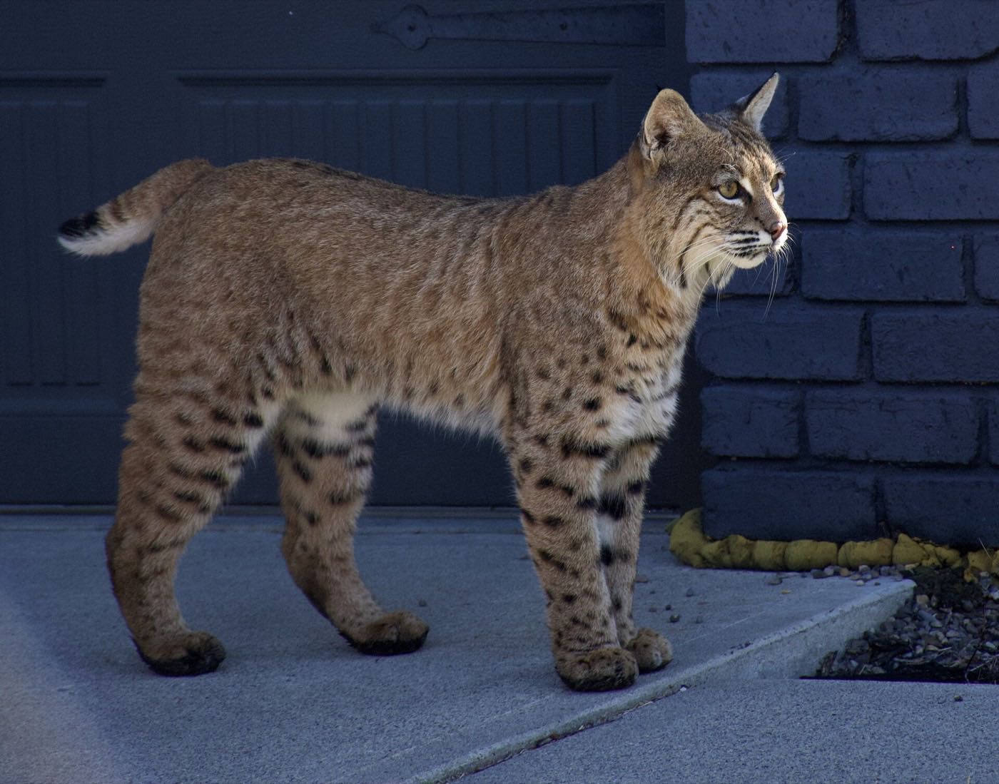
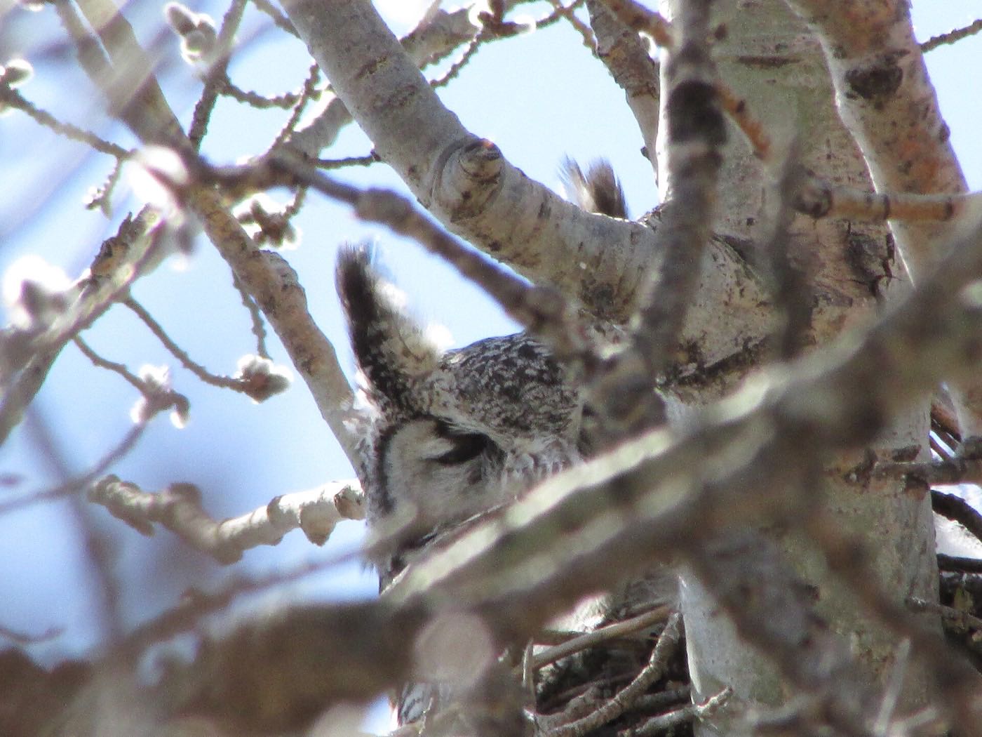
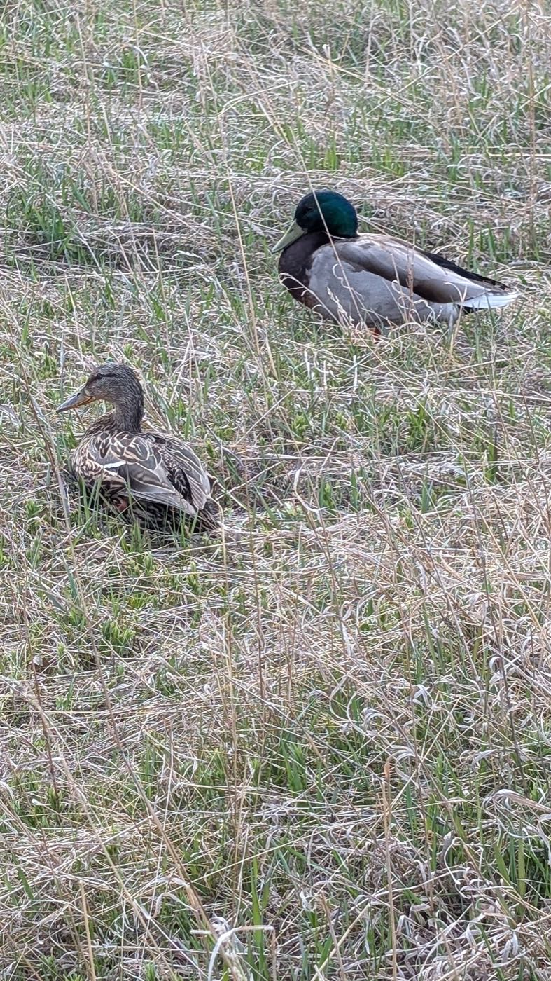
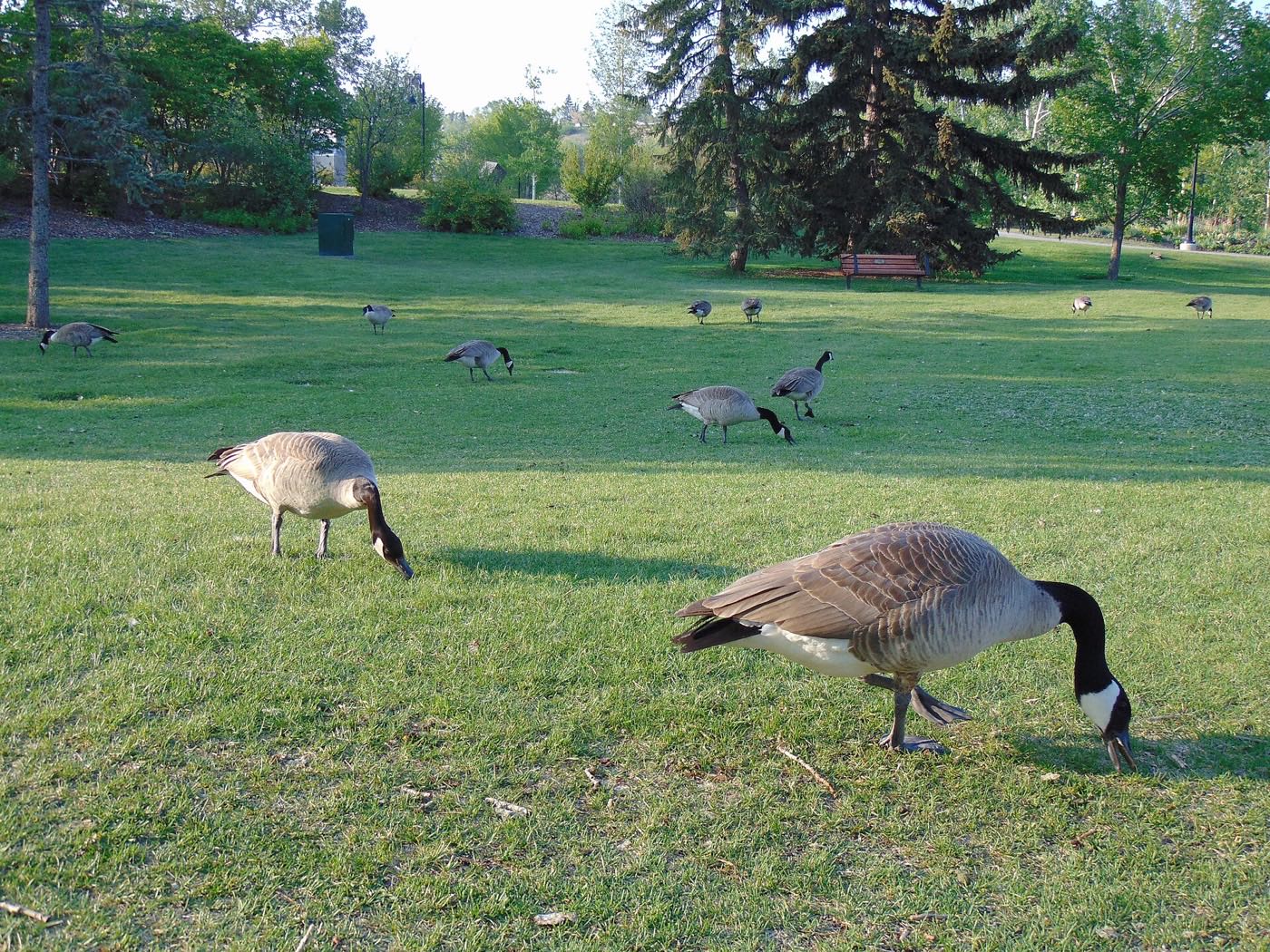
29 more photographs of Calgary and the region
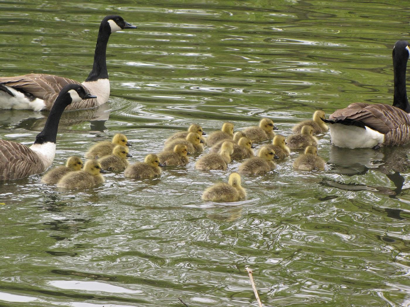
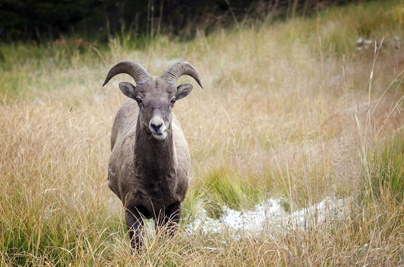
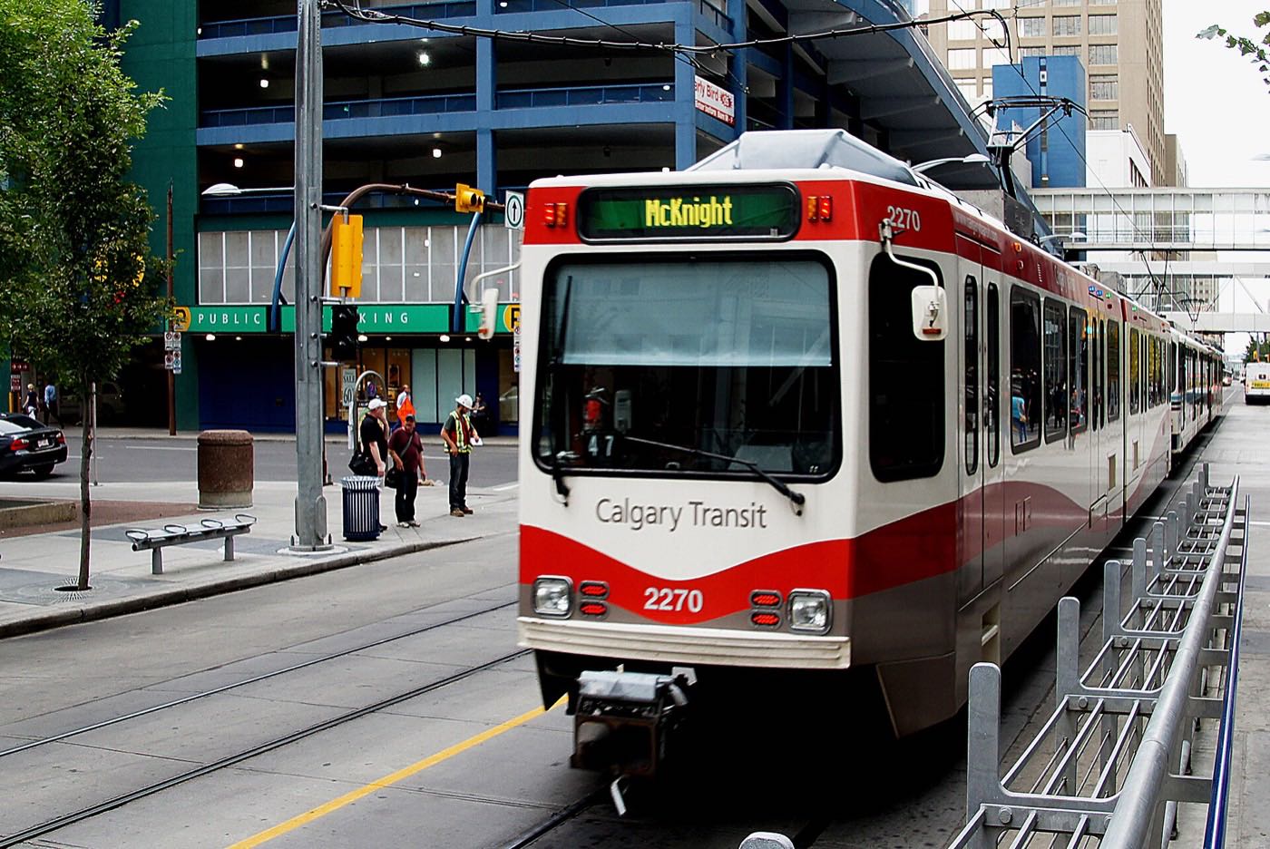
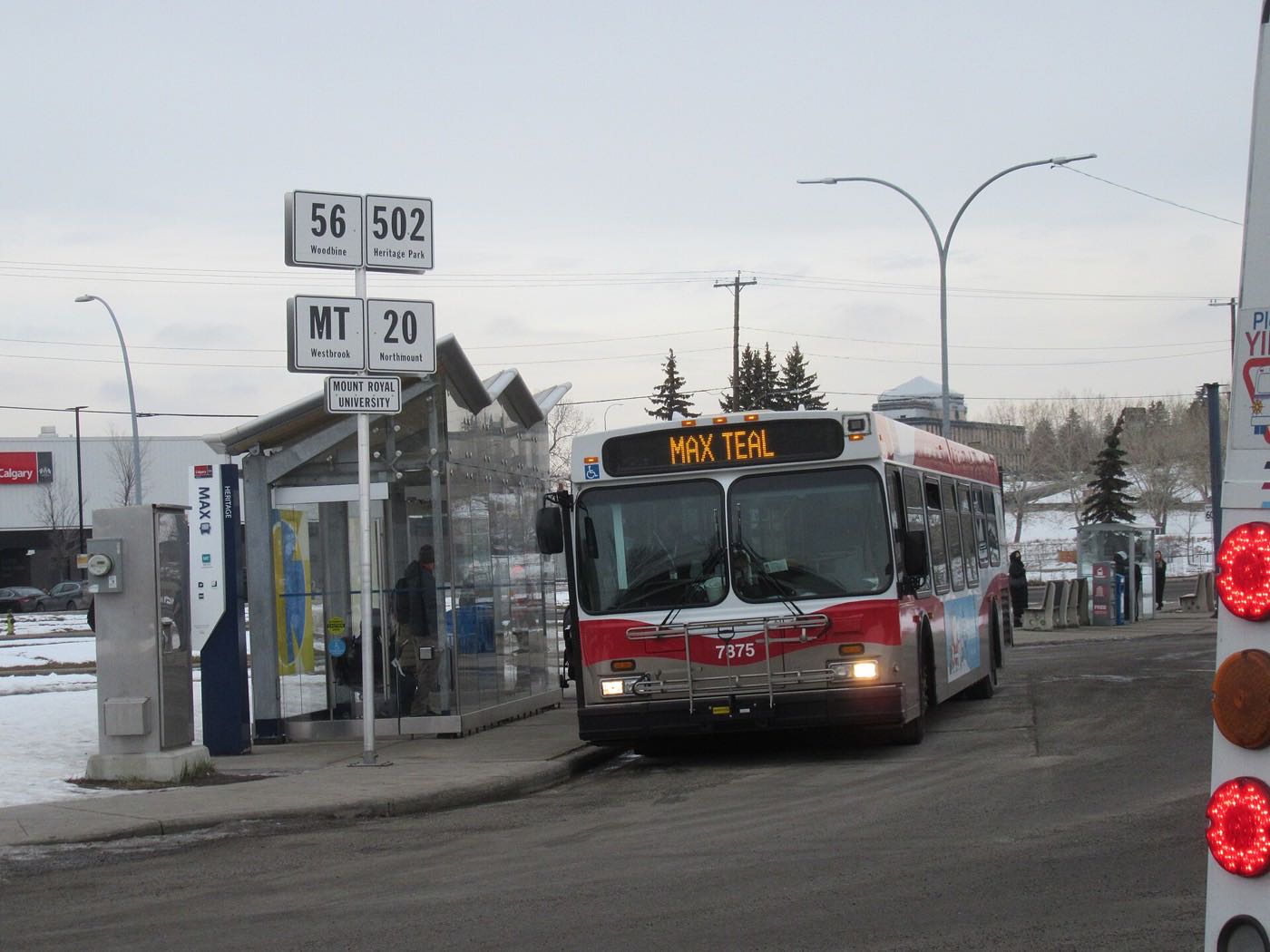
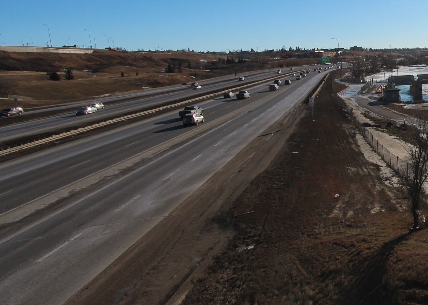
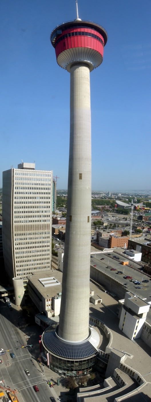
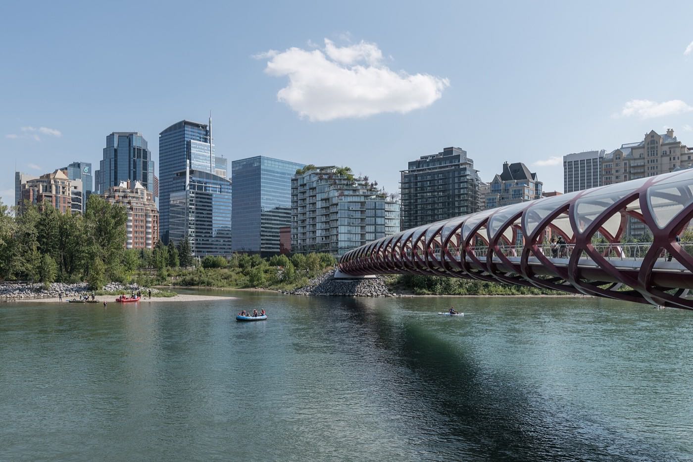
Drawn from the site's shared, freely licensed Calgary photo library, not photographs of Crestmont itself. Filter by category.

Showing 1–12 of 29 photographs.
Honesty note. This page uses only the general Calgary, seasonal, Alberta-wildlife and day-trip photography from the site's shared library. Nothing here is presented as a photograph of Crestmont itself.