
Live in Signal Hill
A hillside community established in 1987 whose escarpment carries the Battalion Park numerals: 16,000 stones spelling out four First World War battalion numbers.
Signal Hill was established in 1987 on land annexed to the city thirty-one years earlier: 5.4 km² by the City's boundary polygon, 13,000 residents in 5,065 private households at the 2021 census, with renters at 11%. The community sits on a plateau, and its own escarpment carries the Battalion Park hillside numerals. Four battalion numbers laid out in 16,000 stones on ground the Canadian Expeditionary Force trained on during the First World War. Westhills and Signal Hill Centre sit at its northern edge, and Sirocco and 69 Street stations put the Blue Line's western end within a short drive of every block. The honest tension is size: 62% of the occupied dwellings here went up between 1991 and 2000, so one large community's elementary school, shopping centre and access roads all carry the same load at the same times of day.
A plateau community built out mostly in the 1990s
Bounded by 17 Avenue SW to the north, Sarcee Trail to the east and 69 Street SW to the west. Wikipedia gives Stoney Trail as the southern edge and the Federation of Calgary Communities gives Glenmore Trail. Ward 6.
Signal Hill was established in 1987 on land annexed to the city thirty-one years earlier: 5.4 km², 13,000 residents in 5,065 private households at the 2021 census, with renters at 11%. It is one of the larger communities on this site, and 62% of its occupied dwellings went up between 1991 and 2000, which shows in the uniform housing stock and in the single board elementary carrying the whole community's enrolment.
The numerals. The community's own escarpment carries Battalion Park: 16,000 stones, arranged by soldiers who trained here in 1915 and 1916, spelling out four battalion numbers across 93 hectares of slope. The park officially opened on 3 November 1991, and the numerals are visible from a long way off, which is how most of Calgary sees them.
What's at the edge. Westhills Towne Centre and Signal Hill Centre sit together at the community's northern boundary, and Sirocco and 69 Street stations put the Blue Line within a short drive of every block. 69 Street is its western terminus, with a park and ride for 840 vehicles; Sirocco, on the north side of 17 Avenue, holds upwards of 450.
Median household income was $116,000 in 2020, against $98,000 across Calgary, and the spread inside the community is wide: 24% of households cleared $200,000 while 13% were under $40,000. Owners are 89% of households here, well above the city's 69%.

- Battalion Park School is the only board elementary inside the community; enrolment and catchment pressure fall on one building
- Sarcee Trail and Stoney Trail both carry heavy commuter traffic along the community's edges
- Westhills and Signal Hill Centre parking gets genuinely tight through Stampede week and the holiday season
- 80% of occupied dwellings date from 1981 to 2000. Condition and mechanical age vary block to block
How Signal Hill got here
- 1956The land is annexed to the City of Calgary.
- 1986Development begins on the plateau, in the Federation of Calgary Communities' account of the community.
- 1987Signal Hill is established, and the community association is registered as a provincial society on July 15.
- 1991Battalion Park officially opens on November 3, its 16,000 stones arranged into the numbers 137, 113, 151 and 51.
- 2012Sirocco and 69 Street stations open on the West LRT, both on the community's edge, with revenue service from December 10.
- 2021The federal census records 13,000 residents in 5,065 private households, with renters at 11%.
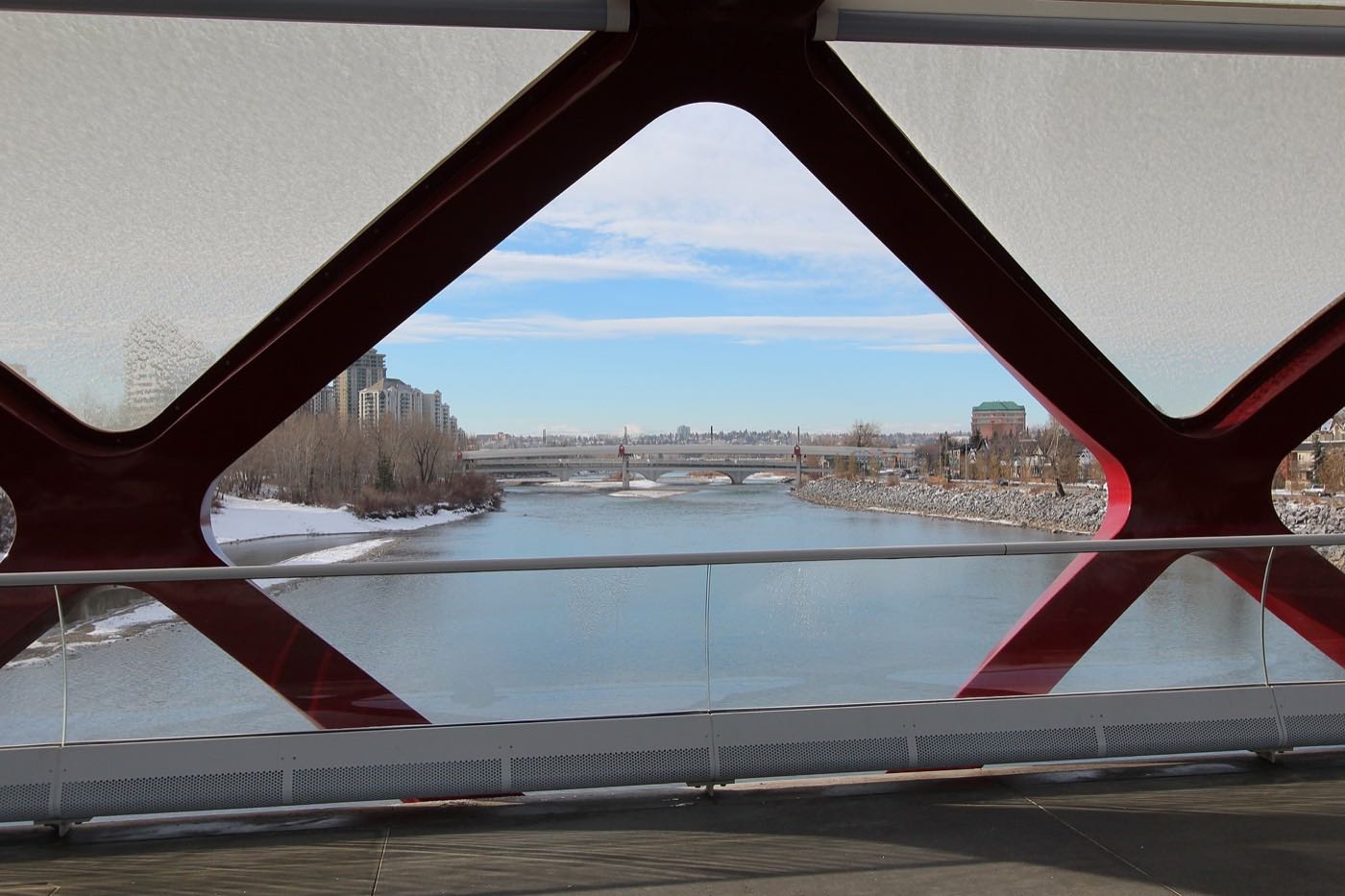
16,000 stones on the community's own slope
Battalion Park sits on Signal Hill's own escarpment: four numbers, 137, 113, 151 and 51, laid out in 16,000 stones by Canadian Expeditionary Force battalions who trained on this hill in 1915 and 1916. The park covers 93 hectares and officially opened on November 3, 1991.
What the map does not show: the numerals are visible from various parts of the city without leaving your car, which is how most of Calgary actually sees them. Walking the slope itself is a detour most residents make exactly once.
Elsewhere in Calgary, not Signal Hill


15 places, with real drive times
Road-adjusted distance and drive time from the centre of the community to each destination, nearest first. Filter by category.
Showing 1–12 of 15 places, nearest first.
Method: distances and drive times are estimated from the centre of the community to each destination using Calgary's road grid, and are rounded to honest ranges rather than presented as precise figures. Being a large community, the range from the Sienna Hills end to the Signal Ridge end can shift these by a few minutes either way.
Every gym within reach
WestSide Recreation Centre north on 69 Street is the nearest facility for the whole hillside cluster, though it is on neither the City's indoor pool list nor its arena list and its own site refuses automated clients, so this guide does not describe what is inside it. Battalion Park's own slope is the free option, inside the community's boundary.
- Not a City facility: it is on neither the City's indoor pool list nor its arena list
- Battalion Park's hillside trail is the free option, on 93 hectares inside the community
- Signal Hill Centre's commercial gyms cluster around the plaza, none of them with a page this audit could open
- Canada Olympic Park adds a WinSport ski hill and ice arenas to the north
| Facility | What it is | Drive |
|---|---|---|
| WestSide Recreation Centre open | The nearest recreation centre, north on 69 Street. It is on neither the City's indoor pool list nor its arena list, and its own site refuses automated clients, so nothing here describes what is inside it. | 4–7 min |
| Battalion Park's hillside trail open | Free option: the escarpment slope around the numerals, on the 93 hectares Battalion Park covers inside the community. | 1–3 min |
| Signal Hill Centre district clubs open | Commercial gyms cluster around the Signal Hill Centre plaza. This audit found no publisher page for any of them. | 2–4 min |
| Canada Olympic Park (WinSport) open | Ski hill and ice arenas owned and operated by WinSport, north of the community. | 10–15 min |
The slope does double duty. Battalion Park is both the community's landmark and its free outdoor gym, and it is the only one of these four whose facts came from a publisher.
One board elementary inside the community
Battalion Park School is the only Calgary Board of Education elementary inside Signal Hill, kindergarten to grade six, with a 2012 enrolment of 694. Everything after elementary sits in a neighbouring community: Ernest Manning High School lists Signal Hill among the seven communities it serves, from 20 Springborough Boulevard SW in Springbank Hill.
| School | Board | Note |
|---|---|---|
| Battalion Park School | Calgary Board of Education | Kindergarten to grade six inside the community. Wikipedia gives a 2012 enrolment of 694; the school's own board page carries neither a grade range nor an address. |
| St. Andrew Elementary | Calgary Catholic School District | A Catholic elementary in Glamorgan, east of the community. The district's site refuses automated clients, so this comes from Wikipedia's Glamorgan article, and no designation for a Signal Hill address is confirmed. |
| Griffith Woods School | Calgary Board of Education | A board school whose own page references kindergarten and grade nine. The page gives no address, and nothing read here places Signal Hill in its attendance area. |
| Ernest Manning High School | Calgary Board of Education | Grades 10 to 12 at 20 Springborough Boulevard SW in Springbank Hill, enrolment 1,683 in 2021. Its Wikipedia article lists Signal Hill among the communities it serves. |
Alberta funds Catholic education the same way it funds public education, so there is no tuition for a resident student at either board. Confirm the designation for a specific address before you buy. The board publishes designations only through an address search, so no designation on this page is confirmed for a particular property, and the Calgary Catholic School District's site refuses automated clients, so the Catholic side here comes from Wikipedia.
Month by month, what living here looks like
Not a highlights reel: the actual annual rhythm, including the dates residents have to remember.
- Battalion Park's stone numerals stand out sharpest against fresh snow, and they are visible from a long way across the city
- The open-air Sirocco platform is the coldest wait on the West Line, exposed on the plateau's edge
- Upper Signal Hill's ridge streets catch a harder wind than the sheltered blocks below Battalion Park
- Westhills' parkade fills for indoor errands once the cold settles in for good
- A chinook off the escarpment can strip Battalion Park's slope bare within a single afternoon
- 69 Street Station's park and ride empties out during the CBE's mid-winter break
- The plateau's western edge still shows the Elbow Valley and the mountains on the clearest cold days
- Ice builds under the numerals' stone rows where meltwater refreezes overnight
- Meltwater runs off Battalion Park's slope and pools at the base of the numerals
- Cleats are the right footwear on the escarpment paths below Sienna Hills
- Sirocco's platform sheds its ice as the plateau warms faster than the valley below
- Signal Hill Centre's parking lot is the last place in the community to clear of ice
- Battalion Park's grass greens up around the stone numerals before the rest of the slope
- Garden centres at Westhills open for the season and the lots fill on weekends
- Last hard frosts pass before Sienna Hills' mature yards go into planting
- The plateau's western viewpoint turns green again, mountains still snow-capped beyond it
- Sunset past 9pm turns the Battalion Park slope into an evening walking route
- Signal Ridge's newer streets fill in with leaf cover faster than the older sections
- School-run traffic on 17 Avenue lightens as the days lengthen
- Westhills' outdoor patios open for the season
- Battalion Park School lets out and the numerals' slope gets its first summer visitors
- Peak daylight at the solstice gives the plateau's western edge a long view of the mountains at dusk
- Sirocco and 69 Street both see their first summer festival crowds heading downtown
- Thunderstorms building over the foothills are visible from the escarpment's open western edge
- Stampede crowds board at Sirocco and 69 Street rather than fight downtown parking
- The numerals' stones hold the day's heat well into the evening
- Westhills' parking lot is at its fullest through the Stampede stretch
- Hottest month, with the plateau catching more wind than the sheltered valley below
- Battalion Park's slope grass turns gold before the rest of the community's lawns
- Kananaskis-bound traffic on Sarcee Trail is visible from the community's eastern edge
- Back-to-school traffic starts building at Battalion Park School before the month ends
- Wildfire haze can settle over the plateau on windless late-summer days
- Battalion Park School's morning drop-off returns to its full crawl on the streets around the school
- First frost usually reaches the exposed plateau before it reaches the sheltered valley communities
- The numerals stand out again as Battalion Park's surrounding grass turns brown
- Westhills and Signal Hill Centre see their own back-to-school rush
- Peak colour runs through Sienna Hills' mature yards before the newer Signal Ridge streets catch up
- Snow tires go on before the first real snowfall reaches the plateau's exposed edge
- The Elbow Valley view from the community's western edge is at its clearest before the leaves are gone
- Sirocco's open platform gets its first genuinely cold waits of the season
- Battalion Park's numerals get their first dusting of the season, visible from across the city
- Dark by 5pm turns the 69 Street park and ride into a headlamp-lit lot
- Signal Hill Centre's holiday displays go up along the frontage
- The plateau's first hard freeze arrives ahead of the sheltered communities below it
- A chinook arch over the escarpment can turn a −20 Sienna Hills morning into a +5 afternoon
- Outdoor rinks in the community's parks open once the freeze holds through a full week
- Battalion Park's stone numerals sit under snow for most of the month
- Sirocco and 69 Street's platforms are at their coldest and darkest for the evening commute home
3 more photographs of the community and its surroundings
All freely licensed, via Wikimedia Commons. Filter by category.


Showing 1–3 of 3 photographs.
About these photographs. Openly licensed images geotagged in or near Signal Hill, found on Wikimedia Commons and served from there with full attribution. Inline photos elsewhere on the page may still come from the site's shared Calgary library.