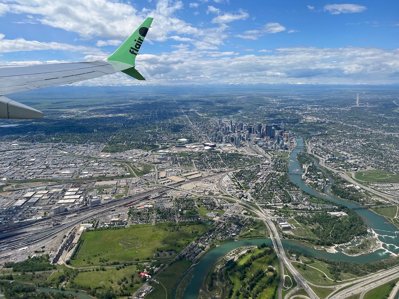
Live in Garrison Green
The smallest and densest of the former CFB Calgary communities, built on the base's Lincoln Park married quarters beside Mount Royal University.
Garrison Green sits on former Canadian Forces Base Calgary land, the base's old Lincoln Park Permanent Married Quarters, which the CFB West Master Plan calls Lincoln Park South. It is 0.4 km² with 1,680 residents in 685 private households at the 2021 census, 38 per cent of them renting. Seventy-seven per cent of the occupied dwellings went up between 2001 and 2010, but 7 per cent still date from 1960 or before, so a few pre-base-closure houses survive among the new blocks. The mix is less uniform than it looks: 35 per cent single-detached, 33 per cent apartments in buildings under five storeys, 20 per cent row houses and 13 per cent semi-detached. Mount Royal University's Lincoln Park campus is across Richardson Road and Peacekeeper Park, established in 2004 on the same former base land, is on the doorstep.
The smallest of the three, built dense beside the university
Bounded by the Lincoln Park community to the north, Crowchild Trail to the east, Glenmore Trail (Highway 8) to the south, and Richardson Road SW to the west. Ward 11, in the City's West sector.
Garrison Green is built on former Canadian Forces Base Calgary land, the base's old Lincoln Park Permanent Married Quarters, which the CFB West Master Plan calls "Lincoln Park South". The base was decommissioned in 1998, two years after the federal budget announced the closure. At the 2021 census the community held 1,680 residents in 685 private households on just 0.4 km².
The housing is less uniform than it looks. 77% of the occupied dwellings went up between 2001 and 2010, but 7% still date from 1960 or before, survivors of the base era. By type it runs 35% single-detached, 33% apartments in buildings under five storeys, 20% row houses and 13% semi-detached, with nothing above five storeys at all.
Who lives here. Median household income was $125,000 in 2020 against $98,000 across Calgary, and 38% of households rent. Only 14% of residents are immigrants, well under the city's 33%, and 25% are under fifteen against 18% citywide. Commutes are short: 27% get to work in under fifteen minutes and not one resident reported a commute over an hour.
The counts do not line up neatly. The City's civic census found 1,973 residents in 2012 and 2,059 in 2019; the federal census found 1,680 in 2021. The two are measured differently, and this guide reports both rather than picking the flattering one.
- 38% of households rent, against 31% across Calgary. Expect real tenant turnover on your block
- Two thirds of the stock is attached or apartment. Condo fees apply to most of it: confirm the amount, the reserve fund and any special assessments
- 77% of the housing went up between 2001 and 2010, so the whole community reaches the same maintenance milestones together
- The federal and civic counts disagree: 2,059 residents in the 2019 civic census against 1,680 at the 2021 federal one. Check which figure a listing is quoting
- Glenmore Trail and Crowchild Trail both border the community, so traffic noise is a real factor on the edge blocks
How Garrison Green got here
- 1935Currie Barracks opens on Calgary's southwestern edge, named after General Arthur Currie. Harvey Barracks, built in 1957 as Camp Sarcee, is united with it in 1968.
- 1972Mount Royal College moves to its Lincoln Park campus, on land previously used as an air force base.
- 1998CFB Calgary is decommissioned, two years after the 1996 federal budget announced the closure and moved personnel to CFB Edmonton. Garrison Green is built on the base's former Lincoln Park Permanent Married Quarters, which the CFB West Master Plan calls Lincoln Park South.
- 2000sThe decade that built the community: 77 per cent of today's occupied dwellings date from 2001 to 2010, against 20 per cent across Calgary.
- 2004Peacekeeper Park is established on the former Lincoln Park land, with a memorial Wall of Honour naming Canadian Forces members lost on peacekeeping and peace support missions, and André Gauthier's sculpture of Mark R. Isfeld handing knitted dolls to Bosnian children.
- 2009Mount Royal is granted university status by the province. Its Lincoln Park campus now carries about 11,560 full-time-equivalent students.
- 2019The City's last civic census counts 2,059 residents in 730 dwellings, 716 of them occupied and 468 owner-occupied, up from the 1,973 the 2012 civic census recorded.
- 2021The federal census counts 1,680 residents in 685 private households, with a median household income of $125,000 in 2020 against $98,000 across Calgary. The federal and civic counts are measured differently and this guide reports both.
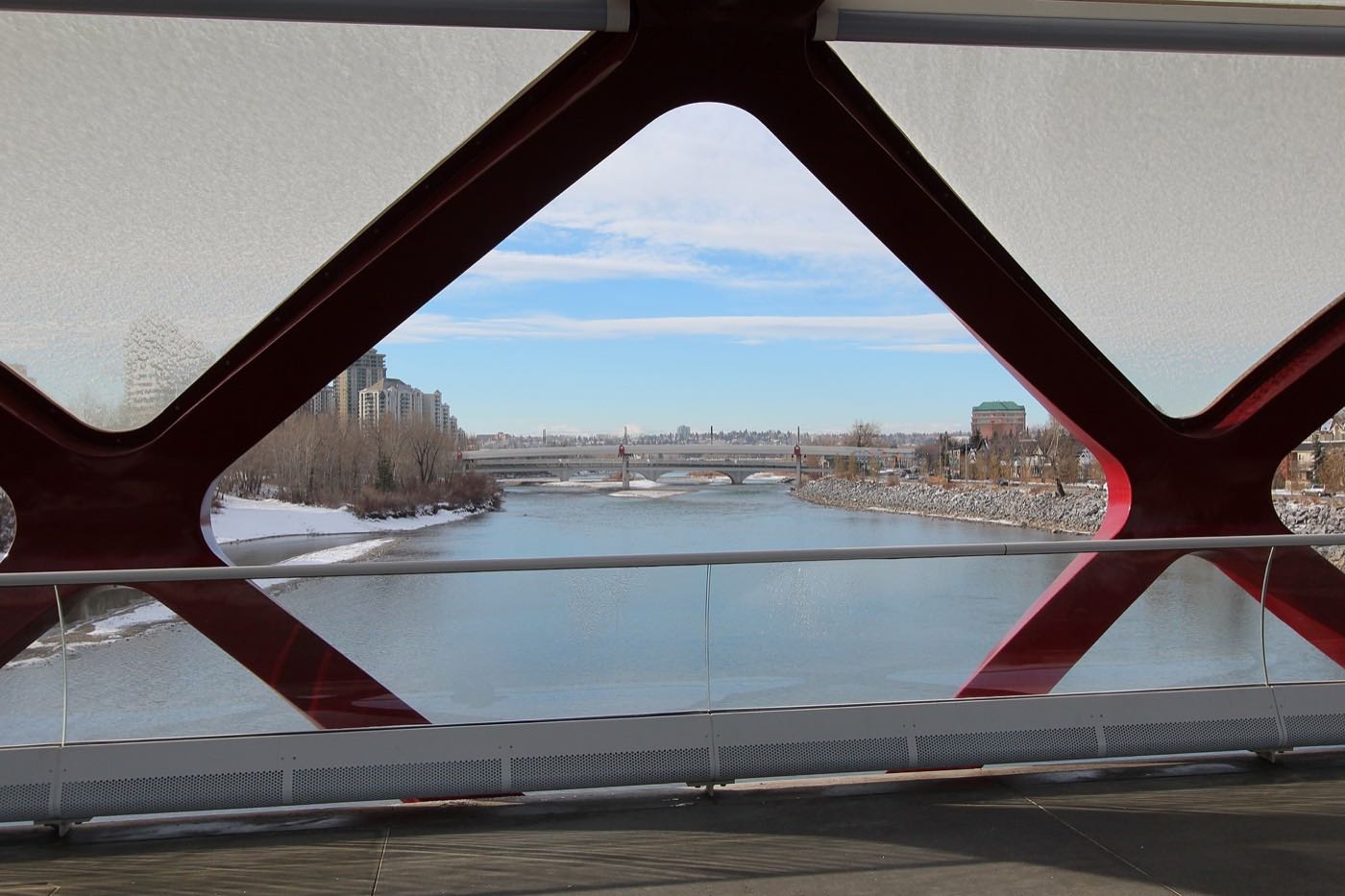
A memorial park on the doorstep, the reservoir close south
Peacekeeper Park was established in 2004 on the same former Lincoln Park base land, with a memorial wall naming Canadian Forces members lost on peacekeeping and peace support missions and André Gauthier's sculpture of Mark R. Isfeld handing knitted dolls to Bosnian children. Wikipedia places it in North Glenmore rather than Garrison Green, so treat it as next door rather than inside. Weaselhead Natural Area and the Glenmore Reservoir sit immediately south.
What the map does not show: the reservoir gate is close enough to be a genuine daily amenity here, not just a weekend drive. The park's own calendar peaks on 9 August, the national Peacekeeper Day, which marks the 1974 air crash that killed nine Canadian peacekeepers.
Elsewhere in Calgary, not Garrison Green


14 places, with real drive times
Road-adjusted distance and drive time from the centre of the community to each destination, nearest first. Filter by category.
Showing 1–12 of 14 places, nearest first.
Method: distances and drive times are estimated from the centre of the community to each destination using Calgary's road grid, and are rounded to honest ranges rather than presented as precise figures. This community has the longest downtown run of the three former base communities, offset by the shortest run to Mount Royal University and the reservoir.
Every gym within reach
Mount Royal University's Lincoln Park campus is close enough to be a daily option, and the reservoir pathways are the free alternative.
- Mount Royal's recreation pages refuse automated clients, so nothing here is a checked list of facilities or community membership terms: ask the university
- Weaselhead and the reservoir pathways are the free option, immediately south
- Rockyview-area commercial gyms are a short drive east
- Marda Loop's small studios are reachable in under ten minutes
| Facility | What it is | Drive |
|---|---|---|
| Mount Royal University Recreation open | The university's recreation facilities on the Lincoln Park campus. Mount Royal's recreation pages refuse automated clients, so nothing here is a checked list of what is inside or of community membership terms: ask the university. | 4–6 min |
| Weaselhead and reservoir pathways open | Free option: off-leash trails and reservoir-edge pathways immediately south. | 2–3 min |
| Rockyview area clubs open | Commercial gyms near Rockyview General Hospital. | 4–6 min |
| Marda Loop studios open | Independent yoga, pilates and small-group training studios along 33 Avenue. | 6–9 min |
The university does double duty. It is both the closest gym and the reason this community's rental market moves on a semester clock.
No school inside; the university is the anchor instead
Garrison Green's small land area leaves no room for a school site, and nothing either board publishes names a school inside it. Mount Royal University sits immediately across Richardson Road on its Lincoln Park campus, where it has been since 1972, with about 11,560 full-time-equivalent students.
| School | Board | Note |
|---|---|---|
| No school inside the community | Both boards | Nothing either board publishes names a school inside Garrison Green, and nothing we opened prints an attendance area for it. Confirm the designated elementary, junior and senior high for a specific address with the board before you buy. The Calgary Catholic School District's site refuses automated clients. |
| Mount Royal University | Post-secondary | The Lincoln Park campus sits across Richardson Road on former air force base land. Mount Royal moved here in 1972, was granted university status in 2009, and carries about 11,560 full-time-equivalent students. |
Alberta funds Catholic education the same way it funds public education, so there is no tuition for a resident student at either board. Confirm the designation for a specific address before you buy. Nothing we could open prints an attendance area for Garrison Green, and the Calgary Catholic School District's site refuses automated clients, so this guide names no designated school. A family with school-age children should treat this as a real drive or bus, not a walk.
Month by month, what living here looks like
Not a highlights reel: the actual annual rhythm, including the dates residents have to remember.
- Peacekeepers' Park's Wall of Honour stands quiet under the streetlights on the coldest nights
- Condo hallways run warmer than the townhouse blocks, which shows up on the heating bill
- Lease turnover slows through the coldest weeks and picks back up after New Year's
- Glenmore Trail's overpass ices before the surrounding streets do
- A chinook can clear Glenmore Trail's shoulder snowbanks in an afternoon
- Mount Royal's reading week thins the rental traffic on Richardson Road for a week
- Peacekeepers' Park's granite holds frost longer than the grass around it
- Underground parkade ramps ice over before the surface lots do
- Meltwater runs off the condo rooflines faster than the ground below it can absorb
- The handful of pre-1960 houses that survived the base redevelopment show their age in the spring thaw
- Rental listings start turning over ahead of the May 1 moving season
- Weaselhead's switchbacks are the last thing nearby to lose their ice
- Mount Royal's spring convocation brings a week of extra street parking pressure
- Peacekeepers' Park's grounds crew resets the turf around the Wall of Honour
- Balcony gardens go in on the condo blocks along Richardson Road
- Sailboats on trailers start passing through the community toward the reservoir gate
- May 1 lease turnover brings the year's heaviest wave of moving trucks to the condo blocks
- Weaselhead's gate traffic picks up on the first warm weekends
- Long evenings turn Peacekeepers' Park into an after-work walking loop
- Balcony and garden planting goes in across the newer blocks
- Mount Royal's spring session ends and student subleases start appearing in the listings
- Condo patios along Richardson Road catch the long evening sun
- Thunderstorms roll in off the foothills, visible over the reservoir to the south
- School lets out and the Weaselhead gate parking fills earlier in the day
- Peacekeeper Park's ceremonies come in August, not July: the national Peacekeeper Day is 9 August
- Stampede traffic detours some commuters onto Glenmore Trail
- Condo air conditioning runs hardest on the top-floor units
- Reservoir gate traffic backs up on the hottest weekend afternoons
- Peacekeeper Day, 9 August, brings veterans and families to the Wall of Honour
- Rental turnover picks up again ahead of the September semester
- Kananaskis is a straight run west through Bragg Creek
- Rental turnover picks up again ahead of Mount Royal's September semester
- Mount Royal's fall semester restarts and September 1 brings the year's second big lease turnover
- Glenmore Trail's morning backup thickens with the school and campus run
- Condo hallway thermostats switch over from cooling to heating
- Frost reaches the older pre-1960 lots before the newer blocks
- Reservoir-edge colour is visible from the condo balconies on the southern blocks
- Condo superintendents start winterizing the shared outdoor spaces
- First snow here is normal, and usually gone within days
- Peacekeepers' Park's maples turn before the rest of the community's street trees
- Rental turnover slows as the December semester break approaches
- Peacekeepers' Park's Wall of Honour is quietest under the season's first real snow
- Glenmore Trail's lighting comes on well before the evening commute
- Underground parkades fill up once residents give up on scraping windshields
- A chinook arch over Glenmore Trail can turn a −20 morning into a +5 afternoon
- Condo lobbies along Richardson Road put up the season's shared decorations
- Quiet streets between the holidays, with many student subleases empty
- The oldest houses on the block, the 7 per cent built before 1960, are usually the first with their lights up
1 more photograph of the community and its surroundings
All freely licensed, via Wikimedia Commons. Filter by category.

Showing 1–1 of 1 photographs.
About these photographs. Openly licensed images geotagged in or near Garrison Green, found on Wikimedia Commons and served from there with full attribution. Inline photos elsewhere on the page may still come from the site's shared Calgary library.