Live in Somerset
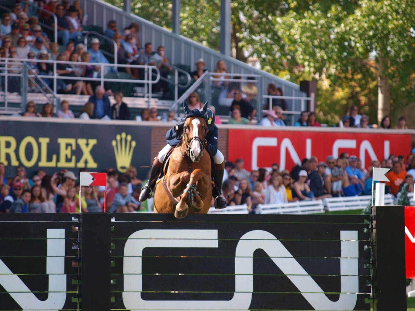
A 1995 community at the literal end of the Red Line, with Spruce Meadows just across Stoney Trail to the south.
Somerset was established in 1995 at the city's southern edge: 2.2 km², 8,320 residents in 3,085 private households at the 2021 census, with renters at 24%. The Somerset-Bridlewood CTrain station on the eastern boundary is the southern terminus of the Red Line, 16.9 km south of the City Hall interlocking, and Stoney Trail forms the southern edge with Spruce Meadows beyond it. The community's land area is disputed on paper: Wikipedia's infobox says 3.4 km² while its own demographics section says 2.3 km², and the City's boundary polygon comes to 2.17 km², which is the figure this page rounds.
A 1995 community at the literal end of the Red Line
Bounded by 162 Avenue SW to the north, the CTrain right-of-way to the east, Stoney Trail to the south and James McKevitt Road to the west. The Federation of Calgary Communities publishes a wider set of boundaries because the association covers Somerset and Bridlewood together. Ward 13.
Somerset was established in 1995 at the city's southern edge, and had grown to 8,320 residents in 3,085 private households by the 2021 census. Land area is genuinely disputed on paper: Wikipedia's infobox states 3.4 km² and its own demographics section states 2.3 km², while the City's boundary polygon comes to 2.17 km². This page uses 2.2 km², the City's figure.
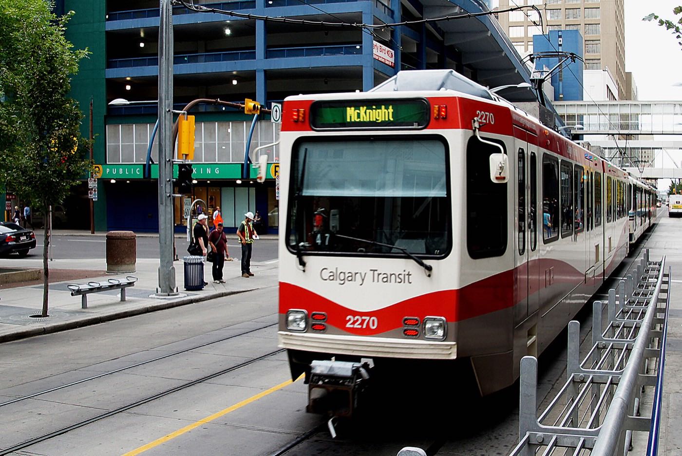
The terminus is the identity. Somerset-Bridlewood station, on the community's own eastern boundary, is the southern end of the Red Line: opened 28 June 2004, 16.9 km south of the City Hall interlocking, with 913 park and ride spaces and no track beyond it. Stoney Trail forms the southern edge, and Spruce Meadows' 505 acres of show jumping and soccer grounds sit past it.
Renters are 24% of households, on a footprint that is otherwise 70% single-detached and 24% apartment in buildings under five storeys. 59% of the occupied dwellings went up between 1991 and 2000 and another 31% between 2001 and 2010, and the community association covers Somerset and neighbouring Bridlewood together.
The tradeoff is being at the end of the line. Every CTrain trip downtown starts here, which means a seat more often than not, but it also means 16.9 km of track before City Hall, and Somerset's own commercial strip is small enough that Shawnessy Town Centre carries most of the real shopping. 13% of employed residents take transit to work, against 9% citywide.
- Land area is disputed: Wikipedia's infobox says 3.4 km², its own demographics section says 2.3 km², and the City's boundary polygon says 2.17 km². Check which one a density figure used
- Renters were 24% of households in 2021, on a stock that is a quarter low-rise apartment
- Being the Red Line's terminus means 16.9 km of track between the platform and City Hall
- Somerset's own commercial strip is small; most shopping means a short drive into Shawnessy
- Spruce Meadows' tournament weekends bring real traffic to Stoney Trail: the North American in July, the Masters in September
How Somerset got here
- 1995Somerset is established at the city's southern edge.
- 2001Bishop O'Byrne High School opens on September 4, at 333 Shawville Boulevard SE just north of the community.
- 2004Somerset-Bridlewood station opens on June 28, in the second phase of the South LRT extension, as the Red Line's southern terminus.
- 2019The last civic census the City ran counts 8,543 residents in 3,161 dwellings.
- 2021The federal census records 8,320 residents in 3,085 private households, with renters at 24%.
Show jumping on one side, a linear parkway on the other
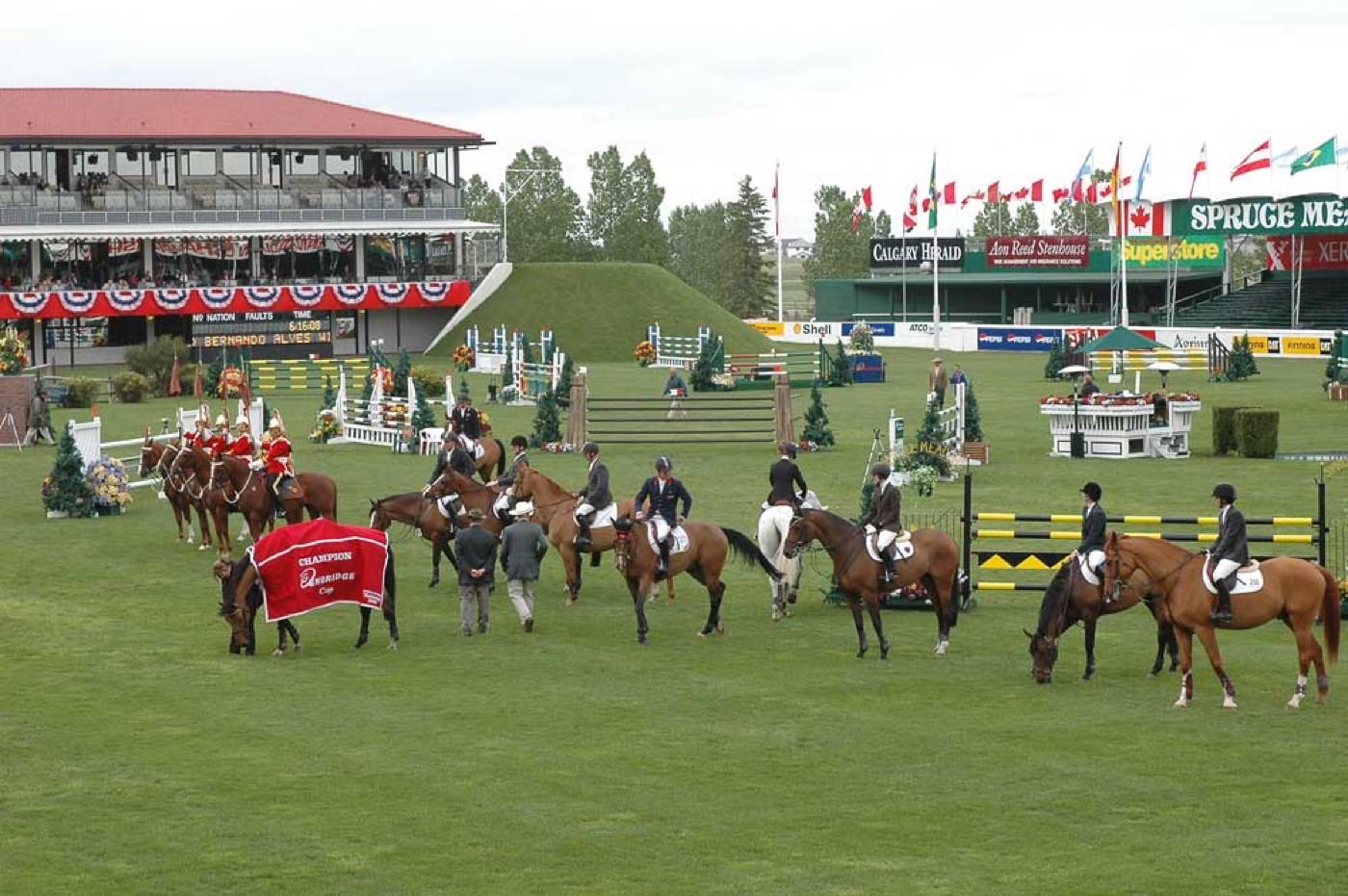
Spruce Meadows' 505 acres of show jumping and soccer grounds sit south of Somerset across Stoney Trail, while a linear parkway runs the length of the community's own edge. Fish Creek Provincial Park, 13.48 km² and 19 km end to end, is a longer drive north than it is from Somerset's neighbours.
What the map does not show: Spruce Meadows draws 500,000 visitors a year, which is either a genuine amenity on the doorstep or several tournament weekends of extra traffic on Stoney Trail, depending on how you use it.
Elsewhere in Calgary, not Somerset


14 places, with real drive times
Road-adjusted distance and drive time from the centre of the community to each destination, nearest first. Filter by category.
Showing 1–12 of 14 places, nearest first.
Method: distances and drive times are estimated from the centre of the community to each destination using Calgary's road grid, and are rounded to honest ranges rather than presented as precise figures. Somerset's position at the end of the LRT line means its downtown figure below is by CTrain rather than driving for most residents.
Every gym within reach
Somerset has no recreation centre of its own. The South Fish Creek Complex sits just north across the Somerset–Bridlewood platform, close enough that most residents treat it as a neighbourhood facility.
- Cardel Rec South lists a quad-arena complex, a gymnasium and multipurpose rooms, and no pool of its own
- The pool is the Shawnessy YMCA's, at the same 333 Shawville Blvd SE address
- The Shawnessy Public Library and Bishop O'Byrne High School share the complex too
- The community's own linear parkway is the everyday free option
| Facility | What it is | Drive |
|---|---|---|
| Cardel Rec South & Shawnessy YMCA open | A quad-arena complex, gymnasium and multipurpose rooms at 333 Shawville Blvd SE. The pool belongs to the Shawnessy YMCA at the same address; YMCA Calgary publishes no per-branch facility list. | 4–6 min |
| Fish Creek Provincial Park pathways open | Free option: more than 100 km of paved and unpaved trails, a longer drive north than for Somerset's neighbours. | 7–10 min |
| Spruce Meadows grounds walk open | The show grounds south past Stoney Trail. Nothing this audit could open states the terms of public access outside tournaments. | 9–12 min |
| Shawnessy Town Centre commercial gyms open | Chain and boutique studios around the shopping district north of the community. This audit found no publisher page for any of them. | 4–7 min |
Being this close to a neighbouring facility does most of the work: Somerset does not need its own recreation centre when Shawnessy's is a five-minute walk from the platform.
Two public schools inside the community, the Catholic high school just across the tracks
Somerset School carries kindergarten to grade 4 and Samuel W. Shaw grades 5 to 9, in Wikipedia's account of the community; neither school's own board page publishes a grade range or an address. Bishop O'Byrne High School sits just north in Shawnessy's South Fish Creek Complex, close enough to reach on foot from the Somerset-Bridlewood platform.
| School | Board | Note |
|---|---|---|
| Somerset School | Calgary Board of Education | Kindergarten to grade 4 in Wikipedia's account of the community. The school's own board page carries neither a grade range nor an address. |
| Samuel W. Shaw School | Calgary Board of Education | Grades 5 to 9 in Wikipedia's account of the community. Its own board page names a Paced Learning Program and gives no grade range or address. |
| Bishop O'Byrne High School | Calgary Catholic School District | Grades 10 to 12 at 333 Shawville Boulevard SE in the South Fish Creek Complex, opened September 4, 2001, a short walk from the Somerset-Bridlewood platform. Its published boundary names Bridlewood, Millrise, Shawnessy, Midnapore, McKenzie Lake and Sundance, and not Somerset. |
Alberta funds Catholic education the same way it funds public education, so there is no tuition for a resident student at either board. Confirm the designation for a specific address before you buy: the public board publishes designations only through an address search, and Bishop O'Byrne's published boundary names Bridlewood, Millrise and Shawnessy without naming Somerset.
Month by month, what living here looks like
Not a highlights reel: the actual annual rhythm, including the dates residents have to remember.
- The platform at Somerset–Bridlewood, the Red Line's own southern end, is the coldest wait on the system
- Stoney Trail's south side gets priority plowing before Somerset Manor's crescents do
- Spruce Meadows' grounds sit dark and empty just across Stoney Trail
- Indoor recreation means the short drive north to Cardel Rec South
- A chinook can clear the snowbanks at the end of the line in a single afternoon
- Somerset School's gym runs its winter program at full capacity
- The coldest snap of the year often lands on the terminus platform this month, not January
- Bishop O'Byrne's students cut across to the platform in the season's harshest cold
- Meltwater runs off toward the creek along James McKevitt Road on the community's west edge
- Cleats are the right footwear on the unpaved cut-through to the terminus platform
- Spring flooding watch begins upstream on the creek, well north of the community
- The season's last ice builds under the Somerset–Bridlewood platform overhang
- Spruce Meadows' grounds reopen for the season's first events just south of Stoney Trail
- Field sports start on the green shared by Somerset School and Samuel W. Shaw
- The linear parkway along the community's edge greens up first
- Garden centres along Macleod Trail restock for the season
- Spruce Meadows' outdoor show jumping season opens and weekend traffic builds on Stoney Trail
- Sunset past 9pm makes the walk to the Somerset–Bridlewood platform pleasant again
- Lilacs come out along the community's 1990s crescents
- Weekend traffic on James McKevitt Road picks up with the season
- School lets out and Somerset School's playground empties for summer
- The platform at the end of the Red Line trades ice for shade as commuters wait
- Spruce Meadows' summer tournament season builds through the month
- Bishop O'Byrne's graduating class crosses the platform for the last time
- Spruce Meadows runs its North American tournament in July, and Stoney Trail south of the community carries the crowds
- Stampede crowds ride the Red Line north from the community's own terminus
- The community's newer stock stays cooler after dark than Macleod Trail's older blocks
- Long evening light keeps the small parks busy until dark
- Wildfire haze can settle low along the Stoney Trail corridor on windless days
- Spruce Meadows' summer tournaments wind down before the school-return rush, with the Masters still to come in September
- Shawnee Plaza's back-to-school traffic picks up on James McKevitt Road
- The community empties out in the final weeks before school returns
- Morning commuters crowd the Somerset–Bridlewood platform again after summer's lull
- Samuel W. Shaw and Somerset School both restart within days of each other
- Spruce Meadows' Masters fills the grounds south of Stoney Trail through the month
- The terminus platform's morning line grows noticeably as the school run resumes
- Peak colour runs along the community's linear parkway toward the LRT tracks
- Snow tires go on before the first real snowfall reaches Stoney Trail
- Spruce Meadows' outdoor season is over once the Masters crowds clear
- The season's first snowfall at the terminus rarely lasts past noon
- The Red Line's southern terminus gets its first real ice of the season
- Bishop O'Byrne's students still cross to the platform in the dark at either end of the day
- Evening trains from the terminus run in the dark well before five o'clock
- Freeze sets in for good along Stoney Trail's south side
- A chinook arch over the foothills to the west can turn a −20 morning into a +5 afternoon
- Outdoor rinks in Somerset's own linear parkway open once the freeze holds solid
- The Somerset–Bridlewood platform is the coldest stop on the whole Red Line for the evening commute
- Quiet, short days at the very end of the line
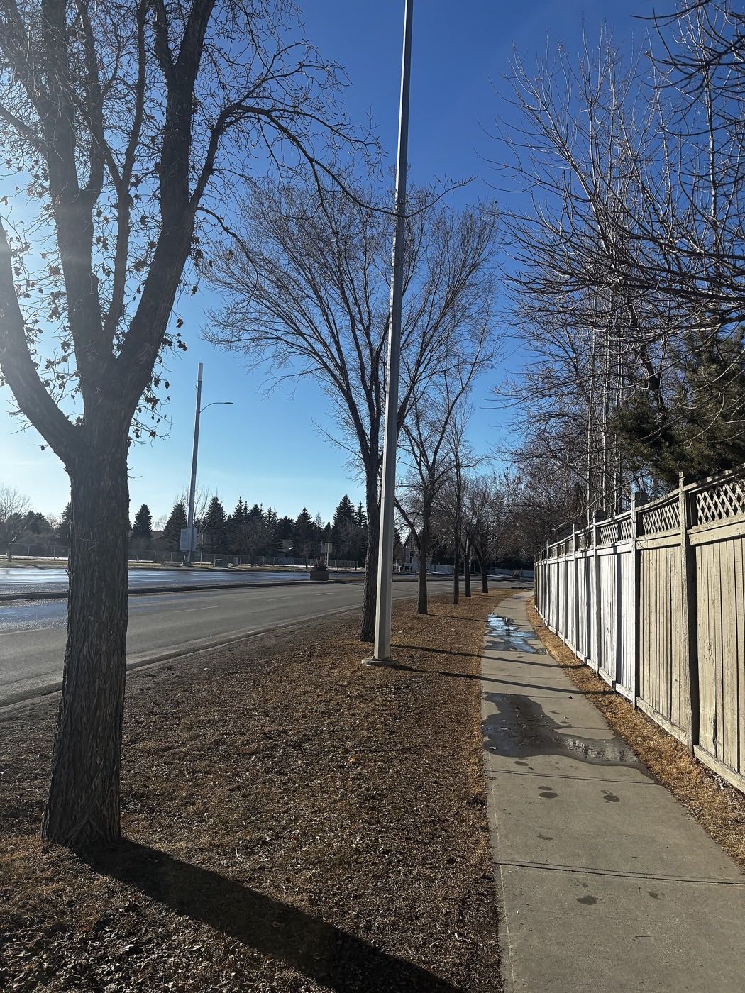
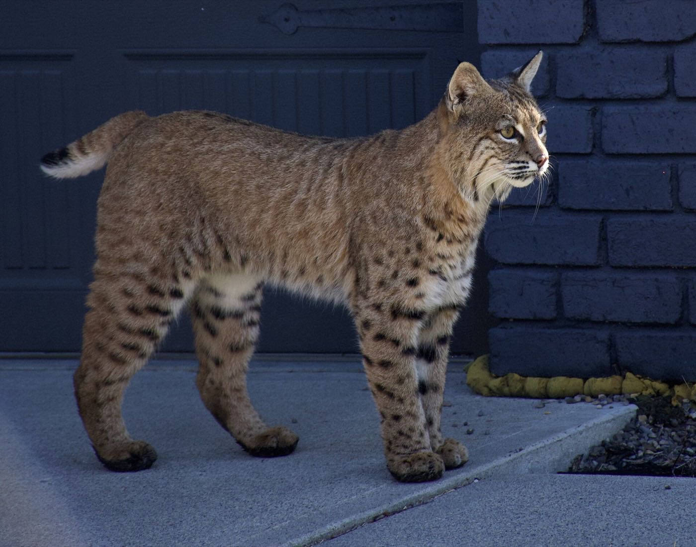
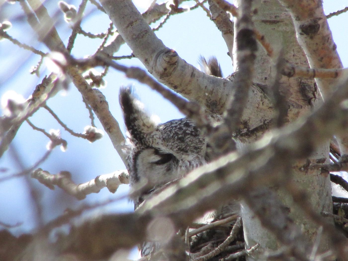
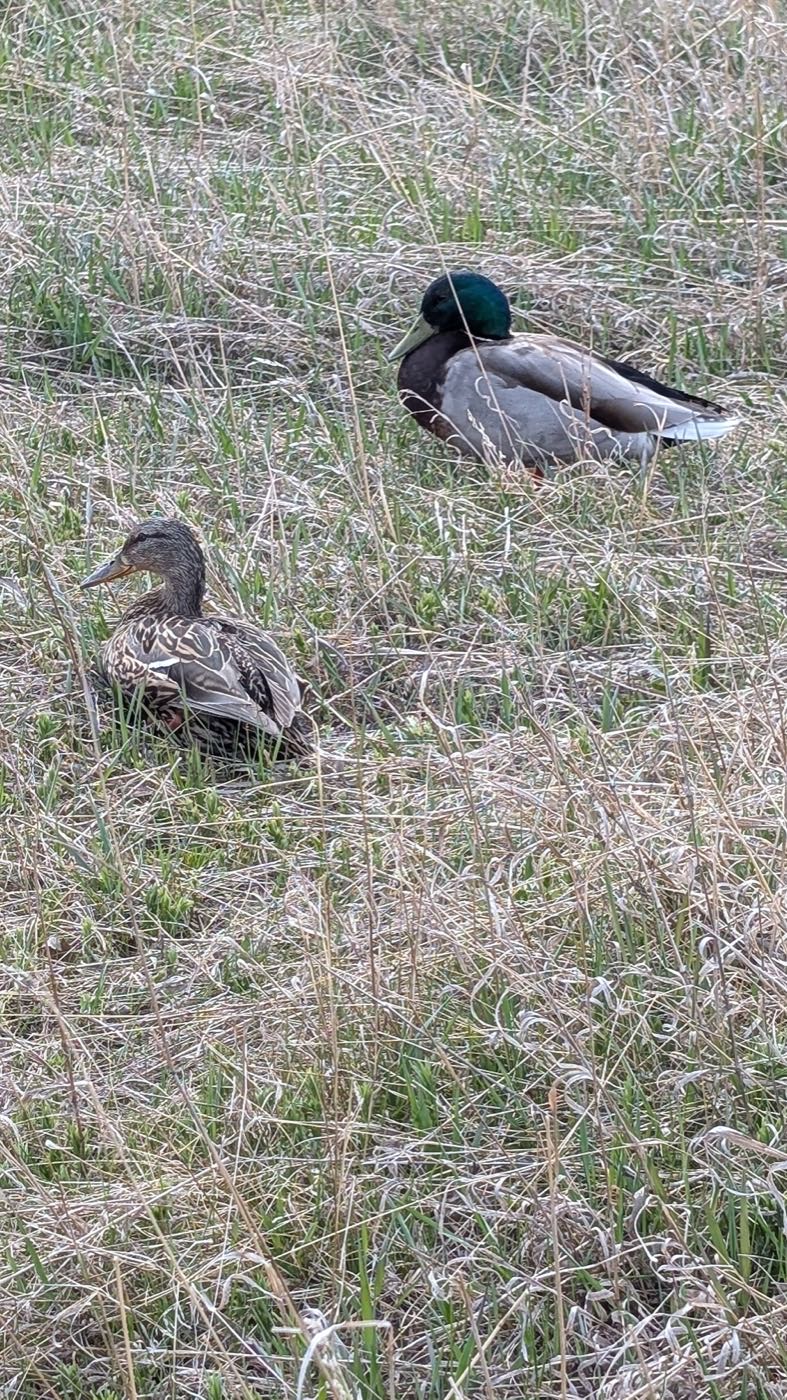
29 more photographs of Calgary and the region
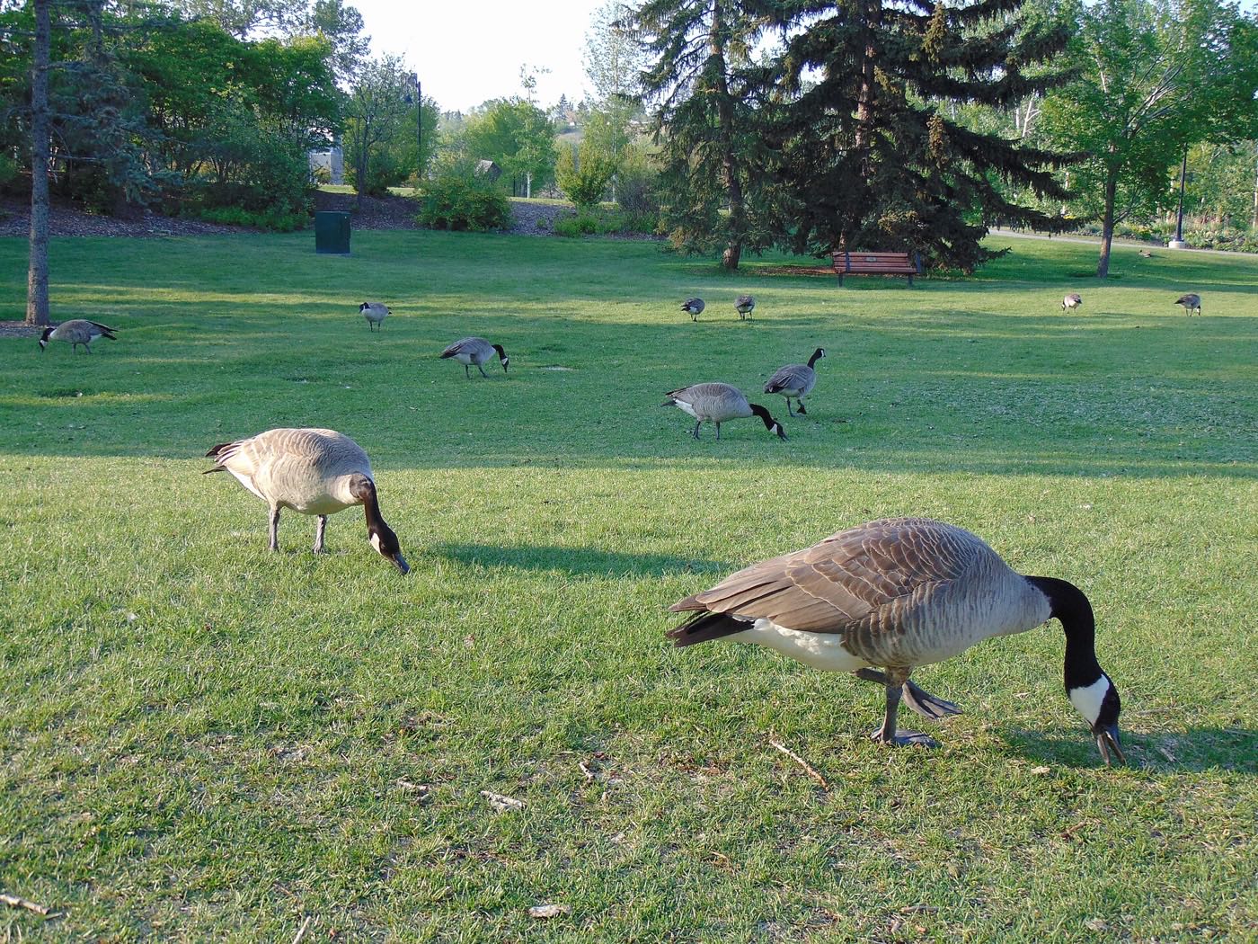
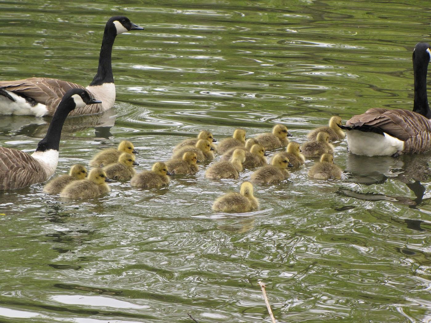
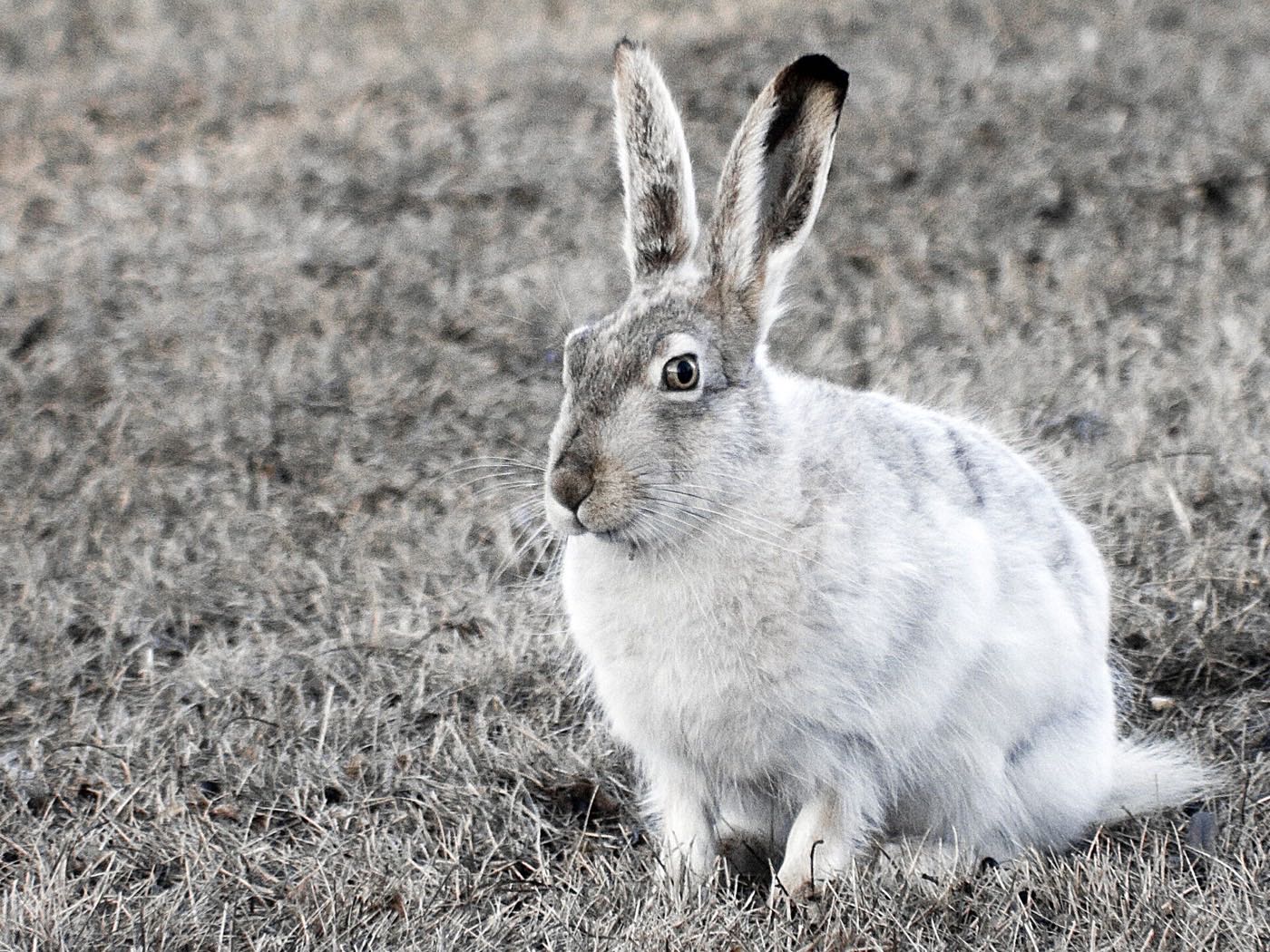
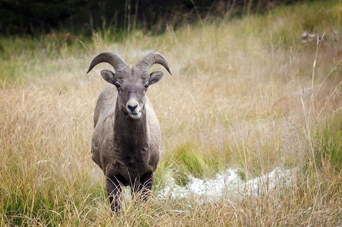
Drawn from the site's shared, freely licensed Calgary photo library, not photographs of Somerset itself. Filter by category.

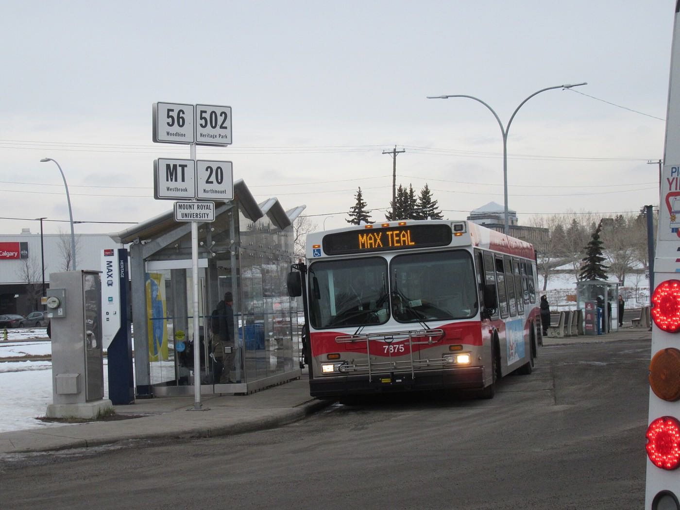
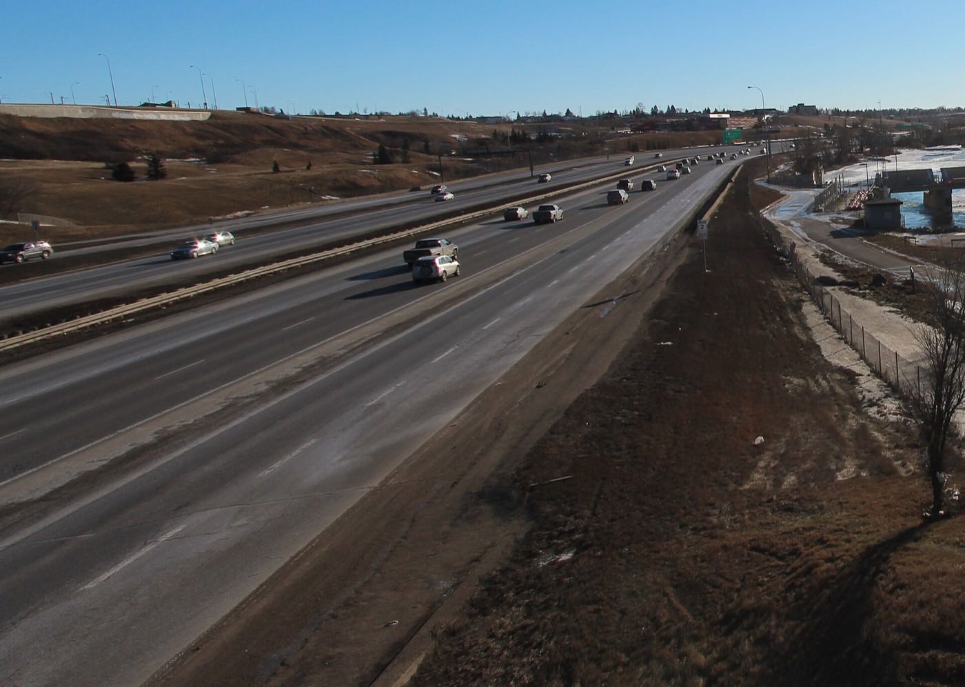

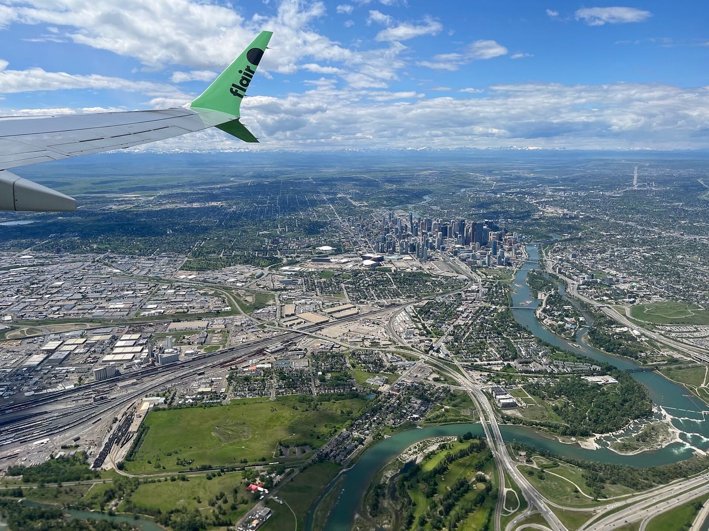
Showing 1–12 of 29 photographs.
Honesty note. This page uses only the general Calgary, seasonal, Alberta-wildlife and day-trip photography from the site's shared library. Nothing here is presented as a photograph of Somerset itself.