
Live in Strathcona Park
A 1980 family community on the western escarpment, the largest of its four hillside neighbours in both population and land area, and 92 per cent owner-occupied.
Strathcona Park was annexed to the city in 1956 and established as a neighbourhood in 1980: 2.7 km², 6,830 residents in 2,425 private households at the 2021 census, 92 per cent of them owner households and 8 per cent renting. Of the four hillside communities on this stretch of the escarpment it is the largest in both population and land area, though Christie Park next door rents even less at 7 per cent. Both the public and the Catholic elementary school sit inside the community, unusual here, and four dwellings in five are single-detached.
A 1980 family community on the escarpment plateau
Bounded by Bow Trail to the north, Sarcee Trail to the east, Strathcona Drive and the community of Christie Park to the south, and Strathcona Park Boulevard to the west. Ward 6.
The land was annexed to the city in 1956 from the Municipal District of Rocky View, and Strathcona Park was established as a neighbourhood in 1980 on the elevated plateau above the city's western escarpment: 2.7 km², 6,830 residents in 2,425 private households at the 2021 census. On the City's own figures it is the largest of the four hillside communities along this stretch, ahead of Patterson at 4,145 residents, Coach Hill at 3,275 and Christie Park at 1,880.
The green edge. The ravine that gives the community its shape sits inside its own boundary, and is the reason the street pattern bends the way it does. It is also the guide's one unsourced feature: no City park page for it opens, Wikipedia does not mention it, and neither the Federation nor the community association carries a word about it. Anyone counting on a specific trail or a ravine-backing lot should walk it before believing a listing.
Why families buy here. Both Olympic Heights School and John W. Costello Catholic Elementary sit inside the community, unusual on this stretch of the escarpment. Housing is 80% single-detached with another 10% semi-detached and 9% row, and not one apartment of any kind in the occupied stock. Renters are 8% of households against 31% across Calgary, though Christie Park next door is lower still at 7%.
What it costs. Median household income was $142,000 in 2020, against $98,000 across Calgary, and only 15% of households spend 30% or more of income on shelter against the city's 23%. The low turnover that comes with 92% owner-occupancy means listings here are genuinely thin: this is not a market you can expect to time.
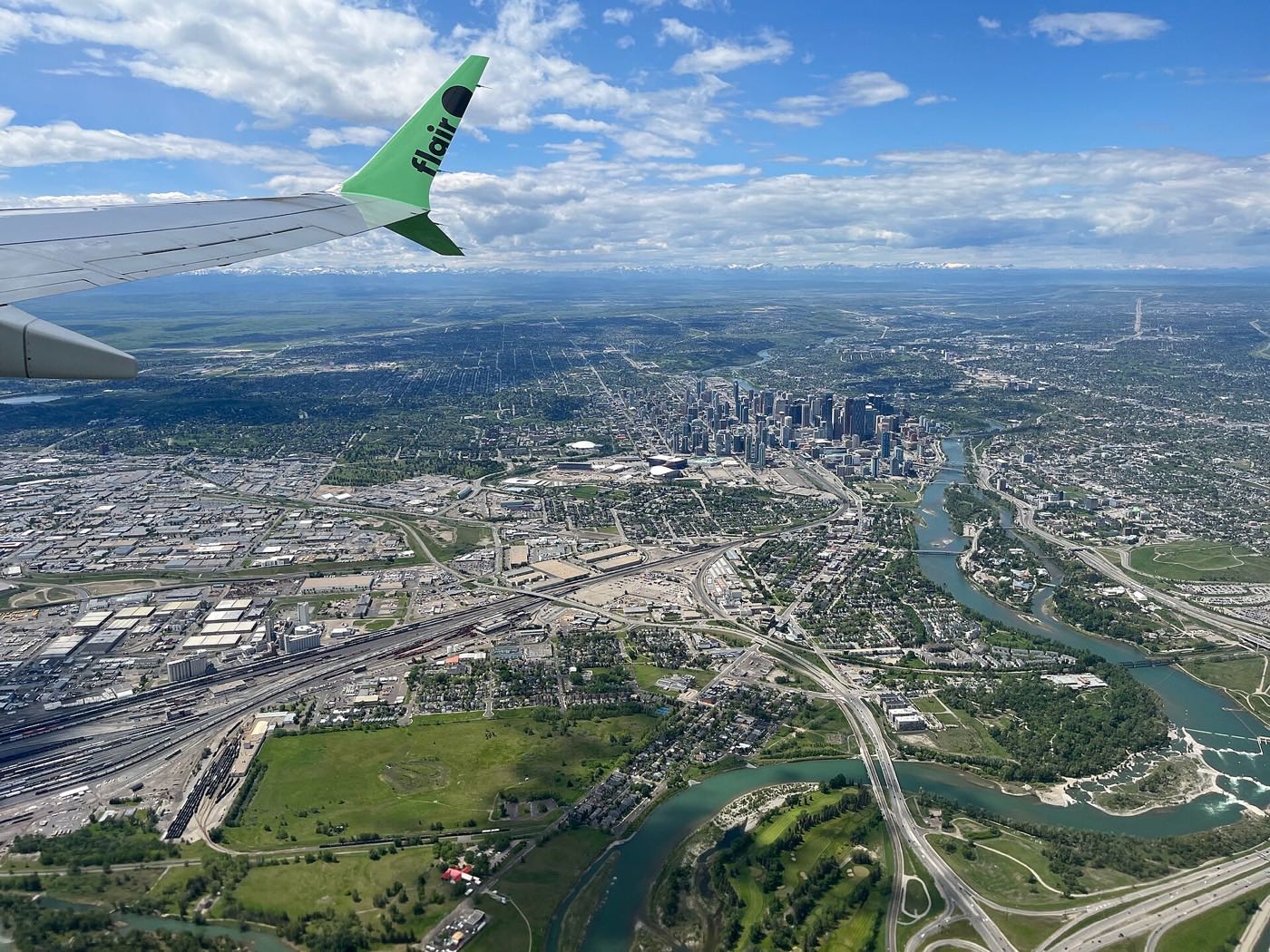
- 92% owner-occupancy means genuinely thin inventory. Expect to wait for the right listing
- No publisher opens a page for the ravine. Walk it yourself rather than trusting a listing's description
- Sarcee Trail carries real arterial traffic along the entire eastern boundary
- 48% of the occupied stock was built between 1981 and 1990 and is now past 35 years. Check mechanical systems and roofing
- Only 1% has been built since 2016. What is here is what there is
- The junior and senior high designation is not published anywhere. Look it up by address before you buy
How Strathcona Park got here
- 1956The land is annexed to the City of Calgary from the Municipal District of Rocky View.
- 1980Strathcona Park is established on the elevated plateau above the city's western escarpment, with views east.
- 1981The Strathcona Christie Aspen Community Association is registered as a provincial society on 2 December.
- 1990sSpringhaven, an extension of Strathcona Park, is built out late in the decade. Christie Park was established in 1990 and Aspen Woods follows in 2001, giving the association its three communities.
- 201269 Street station opens on 10 December as the sixth and terminal station on the West LRT, 8.2 km west of downtown at 69 Street and 17 Avenue SW, with park and ride for 840 vehicles.
- 2021The federal census counts 6,830 residents in 2,425 private households, 92 per cent of them owner households, with a median household income of $142,000 in 2020 against $98,000 across Calgary.
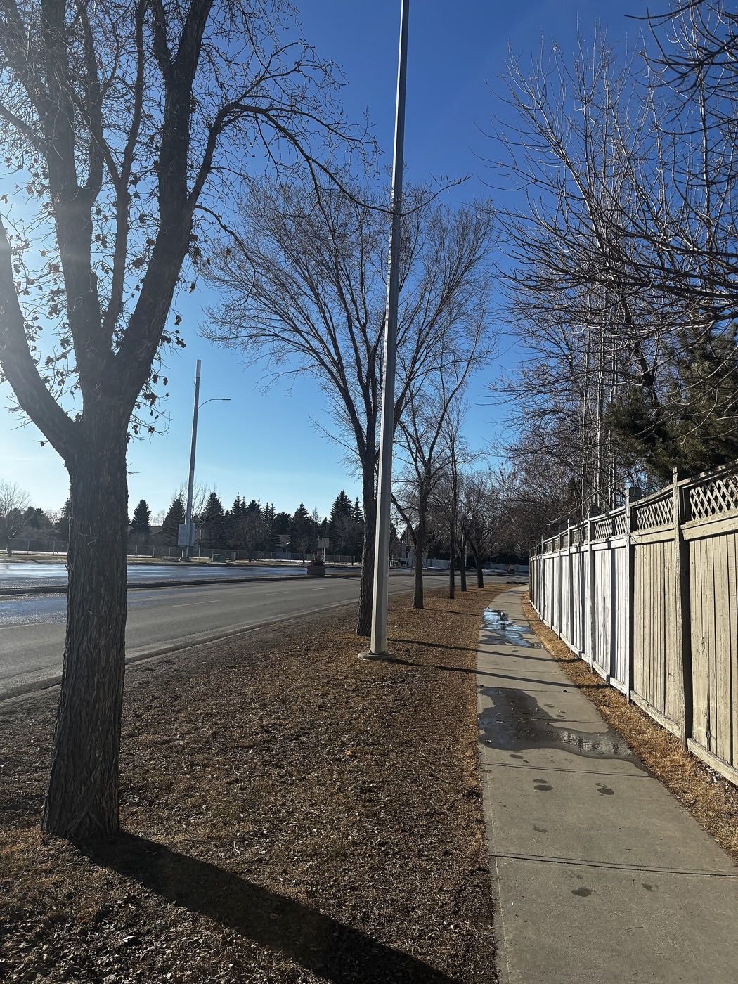
A ravine inside the boundary, and no publisher for it
The ravine sits inside Strathcona Park's own boundary and shapes its streets. What this guide cannot tell you is its size, its trail network or its legal status: the City publishes no park page for it that opens, and neither Wikipedia, the Federation of Calgary Communities nor the community association mentions it at all.
What the map does not show: what the association does publish is its own ground at 277 Strathcona Drive SW: tennis courts, a skating rink, an outdoor hockey rink and sports fields, plus a hall for 240. That is the community's reliable outdoor offering. The ravine is the part you have to go and see.
Elsewhere in Calgary, not Strathcona Park



12 places, with real drive times
Road-adjusted distance and drive time from the centre of the community to each destination, nearest first. Filter by category.
Showing 1–12 of 12 places, nearest first.
Method: distances and drive times are estimated from the centre of the community to each destination using Calgary's road grid, and are rounded to honest ranges rather than presented as precise figures. WestHills Towne Centre, at 250 Stewart Green SW, is the nearest of the two shopping centres west of Sarcee Trail; neither publishes a tenant count.
Every gym within reach
Westside Recreation Centre is the nearest indoor centre, though it publishes nothing an automated client can read, with the ravine carrying the daily free traffic and WinSport a short drive north.
- Not a City facility: it is absent from the City's list of pools and leisure centres, and its own site refuses automated clients, so treat any facility list you read elsewhere as unconfirmed
- WinSport at 88 Canada Olympic Road SW names arenas, the Ice House, a bike park and the Performance Training Centre. It names no ski hill and no luge track
- The association's own courts, rink and fields at 277 Strathcona Drive SW
- The ravine paths are the free option, inside the community's own boundary
| Facility | What it is | Drive |
|---|---|---|
| Westside Recreation Centre open | The nearest indoor recreation centre, north via Sarcee Trail. It is not a City facility and its own site refuses automated clients, so its facilities are unconfirmed here. | 4–7 min |
| Strathcona Ravine trails open | Free option: the ravine paths inside the community's own boundary. | 1–2 min |
| Canada Olympic Park (WinSport) open | Arenas, the Ice House, a bike park and the Performance Training Centre, at 88 Canada Olympic Road SW. | 9–13 min |
| Signal Hill & Westhills district clubs open | Commercial fitness around the two shopping centres. No publisher names the tenants. | 6–9 min |
The ravine does the daily work, and 3% of employed residents walk to work, so most of this is recreation rather than commuting. Confirm what Westside actually offers by phoning it.
Both boards, inside the community: rare on this escarpment
Olympic Heights School and John W. Costello Catholic Elementary both sit inside Strathcona Park, which Wikipedia and the board confirm. Neither school's page publishes a grade range or an attendance area, so this guide no longer says which other communities Olympic Heights takes.
| School | Board | Note |
|---|---|---|
| Olympic Heights School | Calgary Board of Education | A Calgary Board of Education school inside the community. Its page publishes no grade range and no attendance area. |
| John W. Costello Catholic Elementary | Calgary Catholic School District | Named by Wikipedia as the community's Catholic elementary. The Calgary Catholic School District's site refuses automated clients. |
| Designated junior and senior high | Both boards | Nothing published names the junior or senior high designation for this community. The Calgary Board of Education gives it only through the address search on its own site. |
Alberta funds Catholic education the same way it funds public education, so there is no tuition for a resident student at either board. Confirm the current designation for a specific address: the Calgary Board of Education assigns a designated school from the home address and publishes that only through the address search on its own site, and nothing published names the junior or senior high this community feeds. The Calgary Catholic School District's site refuses automated clients, so nothing on the Catholic side here was read from the district itself.
Month by month, what living here looks like
Not a highlights reel: the actual annual rhythm, including the dates residents have to remember.
- Strathcona Ravine's connecting trail between its two sections turns to packed ice by January
- Olympic Heights Elementary's playground stays busy through the coldest recesses of the year
- Sarcee Trail's exposed shoulder is the community's coldest school-run stretch
- Christie Park's shared boundary streets get priority plowing before the ravine's own paths
- A chinook can turn the ravine's packed-ice trail to mud within a single afternoon
- John W. Costello's mid-winter break empties the morning school-run traffic for a week
- Strathcona Drive's exposed hilltop stretch often runs colder than the sheltered ravine below it
- Strathcona Drive's shaded south-facing stretch holds ice longer than the ravine trail itself
- Meltwater fills both sections of Strathcona Ravine before the connecting trail dries out
- Cleats are the right footwear on the ravine's steeper north-facing switchbacks
- Olympic Heights and Costello both restart outdoor recess as the playgrounds clear
- Sarcee Trail's shoulder ice lingers longest on the community's exposed east side
- Strathcona Ravine's two sections reopen fully as the connecting trail firms up
- Field sports move outdoors onto the shared grounds at both community schools
- Last hard frosts pass before Strathcona Park's mature yards go into planting
- Signal Hill and Westhills' garden centres open for the season
- The ravine's mature spruce and poplar canopy fills back in over both sections
- Sunset past 9pm turns the ravine trail into an evening dog-walking loop
- School-run traffic on Strathcona Drive lightens as the days lengthen
- Westside Recreation Centre's outdoor deck opens for the season, a short drive north
- School lets out at both Olympic Heights and Costello, and the ravine trail gets its first summer crowds
- Peak daylight at the solstice gives Strathcona Ravine long evening light
- WinSport's summer programs draw families north across Bow Trail
- Thunderstorms building over the foothills are visible from the ravine's open sections
- The ravine's tree cover keeps both sections several degrees cooler than the open streets above
- Evening thunderstorms roll in from the west, visible across the ravine
- The ravine trail draws dog-walkers early, before the heat of the day sets in
- Christie Park and Strathcona Park share the same quiet mid-summer streets
- Ravine cottonwoods start dropping seed fluff along the connecting trail
- Back-to-school traffic starts building at both community schools before the month ends
- Kananaskis-bound traffic on the Trans-Canada is visible from the community's western streets
- The ravine trail stays busy with evening walkers through the last warm weeks
- Olympic Heights and Costello both restart the same week, and Strathcona Drive's morning traffic doubles
- First frost typically settles on the ravine before it reaches the streets above
- The ravine's aspens turn first, visible from both connected sections
- Signal Hill and Westhills see their own back-to-school rush
- Peak colour runs through both sections of Strathcona Ravine and along the connecting trail
- Snow tires go on before the first real snowfall reaches Sarcee Trail's shoulder
- Westside Recreation Centre's fall swim lessons fill within the first week of registration
- The ravine trail is at its most pleasant once the summer crowds thin
- WinSport's ski runs open for the season, glimpsed through the ravine's bare trees on the drive home
- The ravine's connecting trail gets its first ice on the shaded north-facing section
- Dark school-run mornings mean Olympic Heights' lot fills before the sun is up
- Strathcona Drive's shared boundary with Christie Park gets its first hard freeze
- A chinook can flip Strathcona Park's school-run mornings from −20 to shirtsleeves by the afternoon pickup
- Both sections of the ravine stay open for walkers who bundle up over the holiday break
- The community association's rink beside the ravine opens once the freeze holds through a full week
- Christie Park and Strathcona Park's shared streets go quiet through the holidays
4 more photographs of the community and its surroundings
All freely licensed, via Wikimedia Commons. Filter by category.


Showing 1–4 of 4 photographs.
About these photographs. Openly licensed images geotagged in or near Strathcona Park, found on Wikimedia Commons and served from there with full attribution. Inline photos elsewhere on the page may still come from the site's shared Calgary library.