
Northwest Calgary communities
The university quadrant: Nose Hill, the Red Line, and the escarpment communities that look back across the city to the mountains.
Photograph: Crowchildtrail · Sven Erixon at English Wikipedia · Public domain · source
55 communities make this the second-largest quadrant by community count, anchored by the University of Calgary, Nose Hill Park (one of the largest urban parks in North America) and the CTrain's Red Line, which runs out to a terminus in Tuscany. Arbour Lake is the quadrant's one private lake community.
Many northwest communities sit on the escarpment above the Bow Valley, which is why the view-and-elevation trade-off comes up so often in these guides: better sightlines toward the mountains, but steeper streets and a longer walk back up from the river pathways.
55 communities, guide by guide

Arbour Lake
The northwest's only lake community: ten acres of water, Crowfoot Crossing and the Red Line terminus.
- 1992
- Community established
- 4.4 km²
- Community land area

Banff Trail
A 1952 inner-city community wedged between the University of Calgary, SAIT and its own CTrain station.
- 1952
- Community established
- 1.4 km²
- Community land area
Beddington Heights
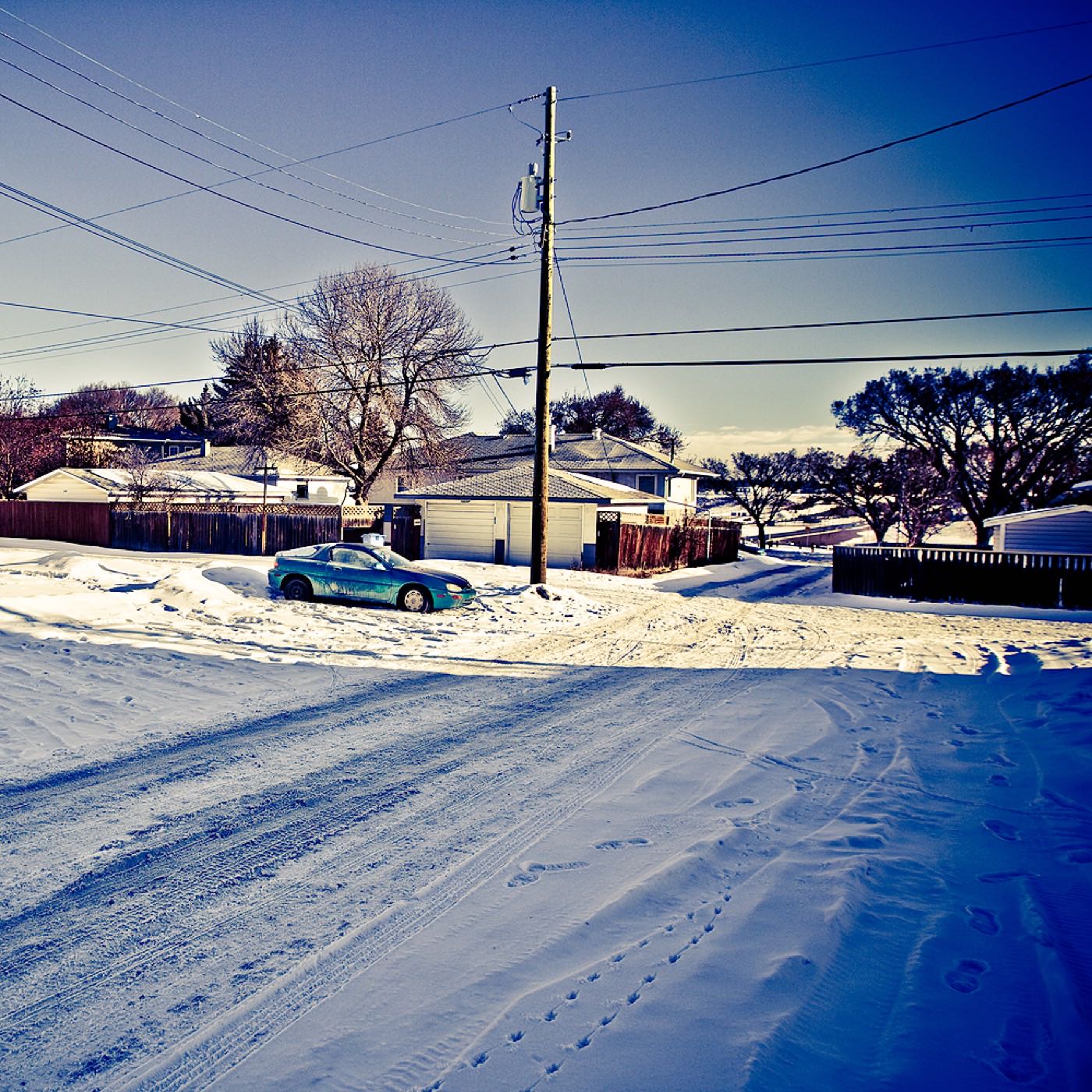
A 1979 community of 11,500 on the Centre Street corridor, with Nose Hill Park minutes west.
- 1979
- Community established
- 3.2 km²
- Community land area

Bowness
A former town on the Bow, annexed in 1964, with the city's best-loved riverside park and its own main street.
- 1896
- Community established
- 1964
- Amalgamated into Calgary

Brentwood
A 1960 community with its own Red Line station, two malls, a library and the quadrant's best-known high school.
- 1960
- Community established
- 2.9 km²
- Community land area

Briar Hill
A small 1953 community on the hill above Kensington. SAIT, a CTrain station and downtown ten minutes away.
- 1953
- Community established
- 1.3 km²
- Community land area

Cambrian Heights
The smallest community on this site: 0.9 km² of 1957 streets between Nose Hill and Confederation Park.
- 1957
- Community established
- 0.9 km²
- Community land area

Capitol Hill
A 1948 inner-city community, majority rental and rebuilding fast, with Confederation Park on its edge.
- 1948
- Community established
- 1.4 km²
- Community land area

Carrington
A brand-new far-north community on the Rotary/Mattamy Greenway: 2,750 residents in 2021 and still building.
- 3.0 km²
- Community land area
- 2,750
- Residents (2021 census)

Charleswood
A settled 1959 community on the slopes between Nose Hill and the university: the quietest of the originals.
- 1959
- Community established
- 1.8 km²
- Community land area

Citadel
A 1993 community at the city's highest corner: strong incomes, Stoney Trail on two edges, Crowfoot next door.
- 1993
- Community established
- 2.7 km²
- Community land area
Collingwood
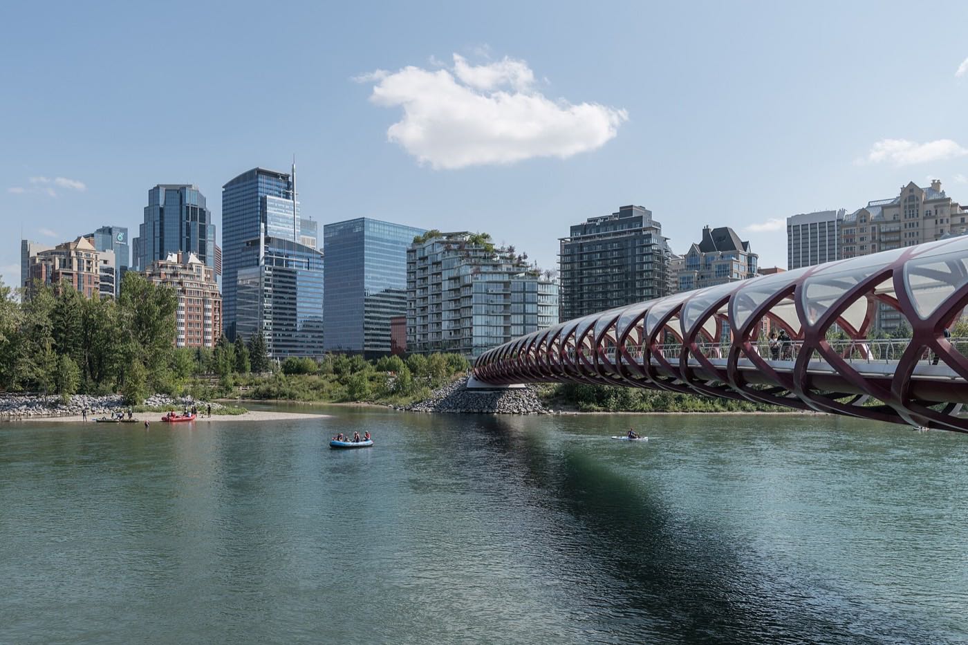
A 1959 community with Nose Hill across one boundary and Confederation Park's golf course across the other.
- 1959
- Community established
- 1.6 km²
- Community land area
Country Hills
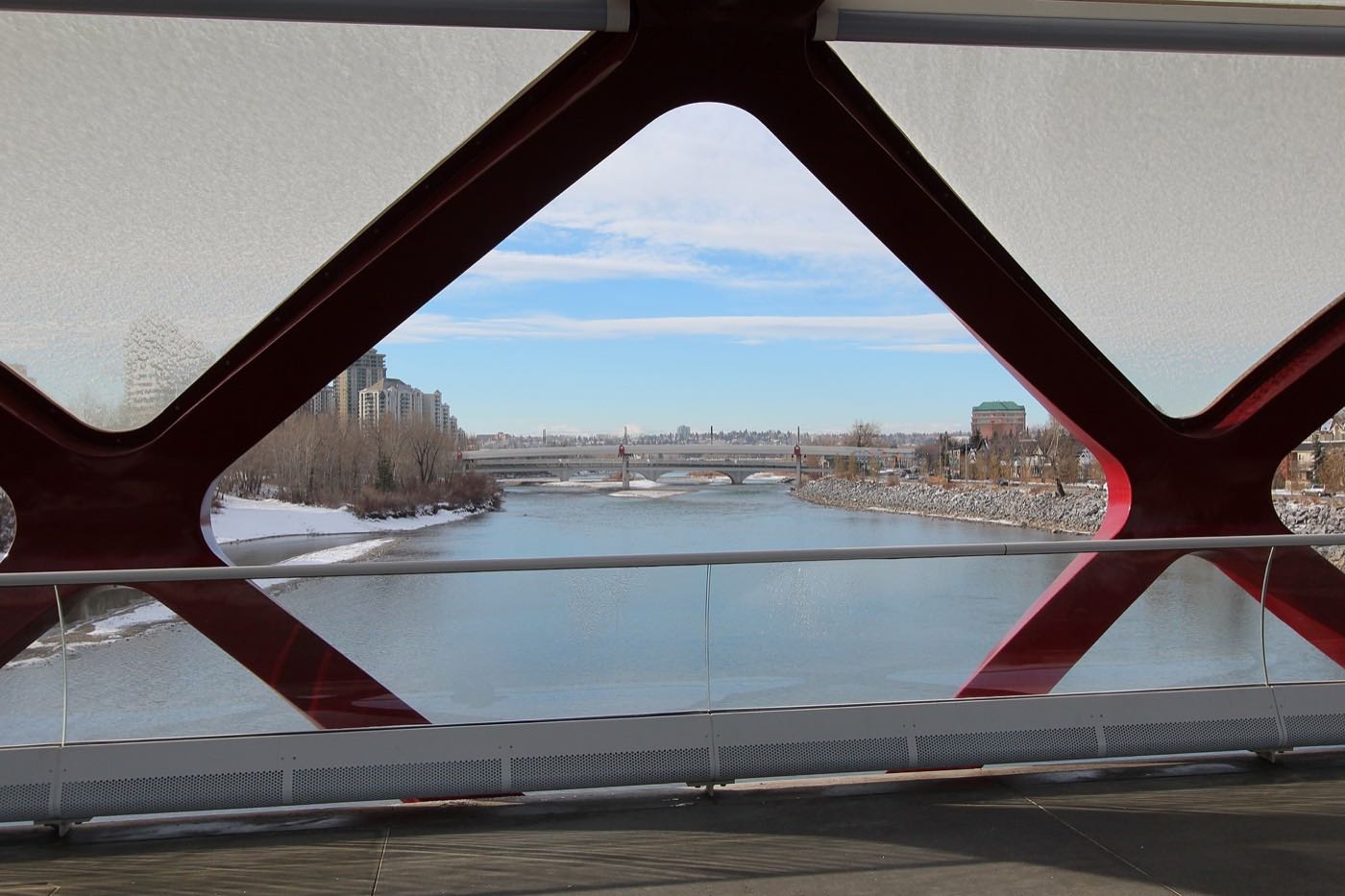
A 1990 community above West Nose Creek, beside its golf club, with Vivo minutes away.
- 1990
- Community established
- 1.9 km²
- Community land area

Crescent Heights
A former village on the bluff across the Bow from downtown, with the city's definitive skyline viewpoint.
- 1908
- Incorporated as a village
- 1.6 km²
- Community land area
Dalhousie
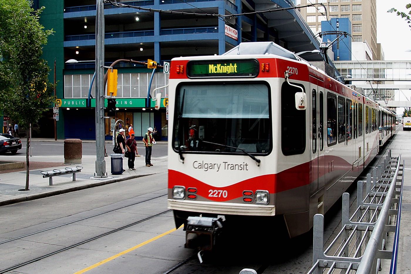
A 1967 community on the slope with its own Red Line station and the shopping to match.
- 1967
- Community established
- 3.3 km²
- Community land area

Edgemont
Nearly sixteen thousand residents over ravines on Nose Hill's shoulder. Prosperous and genuinely international.
- 1978
- Development begins
- 6.6 km²
- Community land area

Evanston
Symons Valley's biggest build-out, growing since the mid-2000s along the West Nose Creek ravine.
- 2002/2003
- Established
- 4.9 km²
- Community land area
Glacier Ridge
One of Calgary's newest communities: 832 acres on the northwest edge, 10 km of trails planned, and almost everything else still arriving.
- 832 acres
- Builders' plan area
- 4.6 km²
- Community land area, City polygon

Hamptons
A 1989 golf-course community on the 1,245-metre plateau with the quadrant's strongest suburb incomes.
- 1990
- Community established
- 3.5 km²
- Community land area

Hawkwood
A 1981 community on the ridge above Crowfoot, named for the dairy farm that came before it.
- 1981
- Community established
- 3.2 km²
- Community land area
Hidden Valley
Nearly twelve thousand residents in the far-north family loop, with K–9 schools inside it.
- 1990
- Established
- 4.3 km²
- Community land area

Highland Park
A 1946 corridor community: the city's cheapest close-in land, waiting on a golf-course rebuild and a train.
- 1946
- Established
- 1.4 km²
- Community land area

Highwood
A 0.9 km² 1954 community whose Mandarin bilingual schools draw from across the city.
- 1954
- Established
- 0.9 km²
- Community land area

Hillhurst
Kensington's home community: Riley Park, the Bow, and the inner city at its most walkable.
- 1914
- Established
- 5,475
- Residents (2021 census)

Huntington Hills
Thirteen thousand people between Nose Hill and Nose Creek, with six schools and the Thornhill pool inside.
- 1967
- Established
- 4.7 km²
- Community land area

Kincora
Symons Valley's Irish-themed community, threaded by the Kincora Glen ravine.
- 2002
- Established
- 2.3 km²
- Community land area
Livingston
Brookfield's community at Calgary's northern tip: the Livingston Hub open before most of the houses, and 3,985 residents at the 2021 census.
- 2017
- Community established
- 5.6 km²
- Community land area
MacEwan Glen
A 1978 community named for Grant MacEwan, with Nose Hill Park as its southern boundary.
- 1978
- Community established
- 1.4 km²
- Community land area

Montgomery
A former town on the Bow's big bend: annexed 1963, rebuilding fast, with Shouldice Park at its foot.
- 1911
- Community established
- 1957–63
- Town, then Calgary

Mount Pleasant
A 1912 community wrapped by Confederation Park, with its own outdoor pool and arena.
- 1912
- Community established
- 1.9 km²
- Community land area

North Haven
A small 1963 community in two halves on Nose Hill's sheltered southeast slope.
- 1963
- Community established
- 0.8 km²
- Community land area
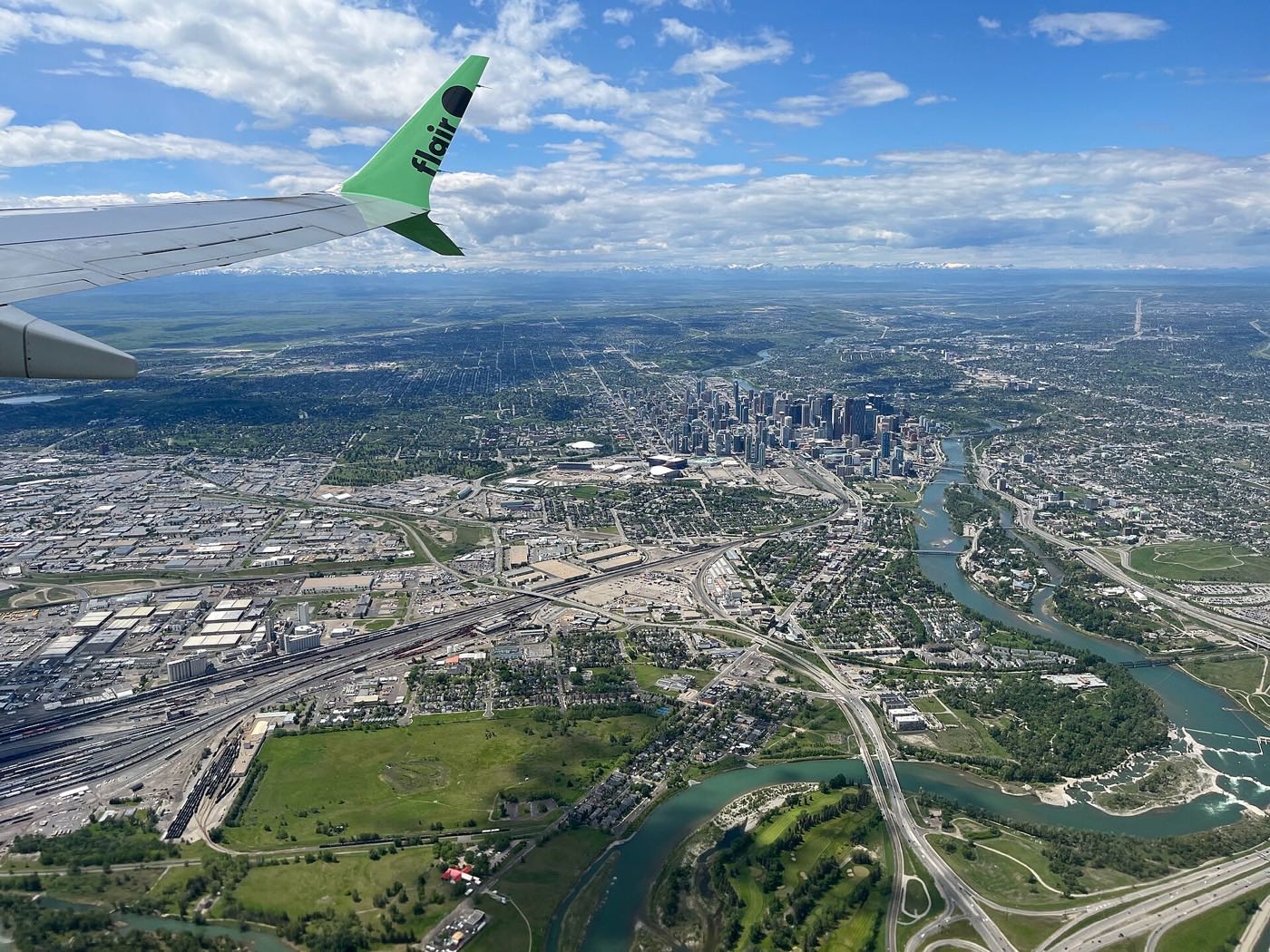
Panorama Hills
Calgary's most populous community: 25,535 residents with a residents-association fee on title.
- 1994
- Community established
- 6.3 km²
- Community land area

Parkdale
A 1948 riverside community between the Bow and the hospitals, rebuilding cottage by cottage.
- 1948
- Community established
- 1.0 km²
- Community land area

Point McKay
A 1970s planned riverside enclave: towers and townhomes fronting the Bow pathway.
- 0.4 km²
- Community land area
- 1,330
- Residents (2021 census)
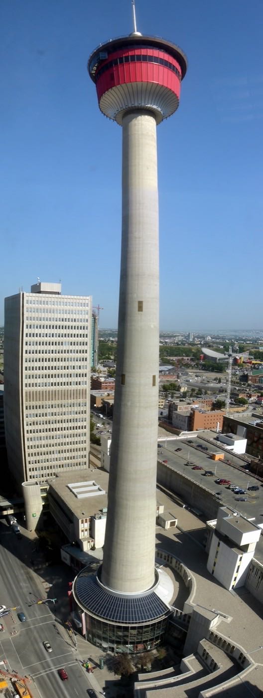
Queens Park Village
A small, entirely-rental pocket in Highland Park's southeast corner, pressed against the 55-hectare Queen's Park Cemetery in Calgary's inner-city northwest.
- 1946
- Highland Park established (Queens Park Village is a corner of it)
- 0.6 km²
- Community land area
Ranchlands
A 1977 volunteer-powered community: twelve playgrounds, two dog parks and the Rink Rats' ice.
- 1977
- Community established
- 2.3 km²
- Community land area

Rocky Ridge
A 1998 ridge community at 1,265 m, home to the giant Shane Homes YMCA.
- 1998
- Community established
- 2.8 km²
- Community land area

Rosemont
Half a square kilometre of 1958 streets on Confederation Park's northern rim.
- 1958
- Community established
- 0.5 km²
- Community land area

Royal Oak
A complete 1997 high suburb: its own retail, schools close, the giant YMCA and the CTrain terminus nearby.
- 1997
- Community established
- 3.5 km²
- Community land area
Sage Hill
Symons Valley's ravine community, wrapped around West Nose Creek with its big-box district at the corner.
- 2008
- Established
- 3.8 km²
- Community land area
Sandstone Valley
A 1982 community beside Nose Hill: 42% immigrant at the 2021 census, settled and steady since.
- 1982
- Community established
- 1.8 km²
- Community land area

Scenic Acres
A 1981 rim community with the strongest incomes in the established northwest: the name is accurate.
- 1981
- Community established
- 4.4 km²
- Community land area

Sherwood
Symons Valley's quiet quarter: community garden, multicultural festival, Costco at the shoulder.
- 2008
- Community association formed
- 2.4 km²
- Community land area

Silver Springs
A 1972 community above Bowmont Park with volunteer-built botanical gardens and its own golf course.
- 1972
- Community established
- 5.0 km²
- Community land area

St. Andrews Heights
A small 1953 bluff community with the Foothills hospital in its corner and the river below.
- 1953
- Community established
- 1.2 km²
- Community land area

Sunnyside
A 1904 community on the Bow's north bank, built around the Kensington shop strip and hit hard enough by the 2013 flood to be fully evacuated.
- 1904
- Incorporated into the city
- 1.0 km²
- Community land area

Symons Valley
Not a finished community: the valley district the new northwest is still being carved from.
- 5
- Communities in the plan area
- 41,605
- Residents of four of them (2021 census)

Thorncliffe
A 1954 community from Nose Hill to Nose Creek, powered by one of the city's biggest associations.
- 1954
- Community established
- 3.2 km²
- Community land area

Tuscany
Nearly twenty thousand residents with their own CTrain terminus, club, schools and wilderness coulee.
- 1994
- Community established
- 6.9 km²
- Community land area

University District
The university's west campus lands rebuilt as a walkable district, with a 99-year leasehold twist.
- 1995
- Lands transferred to the university
- 99-year
- Leasehold titles, not fee simple

University Heights
A small 1963 community wedged between the campus, McMahon and two hospitals: two-thirds rental.
- 1963
- Community established
- 0.8 km²
- Community land area

University of Calgary
The campus as a community district: residences, the Olympic Oval, and an address you apply for.
- 1966
- University becomes independent
- 1.49 km²
- Community district land area

Valley Ridge
A 1992 golf-course community on the Bow's valley floor. The last Calgary address before the mountains.
- 1992
- Community established
- 3.3 km²
- Community land area
Varsity
Three communities wearing one name: Acres, Village and Estates, with Market Mall and Bowmont between.
- 1963
- Community association established
- 6.2 km²
- Community land area
West Hillhurst
A 1945 community built from Victory Homes, with its own rec centre and the Bow pathway at the door.
- 1945
- Established
- 2.3 km²
- Community land area
Photographs: Arbor Lake Aerial by Qyd ( talk · contribs ), CC BY 2.5, Wikimedia Commons · The CTrain at Banff Trail by David Wilson from Oak Park, Illinois, USA, CC BY 2.0, Wikimedia Commons · A Calgary residential street in snow by Jesse Yardley, CC BY 2.0, Wikimedia Commons · Bow River Shopping Centre by CnekYT, CC BY-SA 4.0, Wikimedia Commons · 5004 Bulyea Rd NW by Jack Hope from Calgary, Canada, CC BY 2.0, Wikimedia Commons · Alberta Jubilee Auditorium by User:Thivierr, CC BY-SA 3.0, Wikimedia Commons · Confederation Park, looking towards Nose Hill by davebloggs007, CC BY 2.0, Wikimedia Commons · Capitol Hill Cottage School by Grungaloo, CC BY-SA 4.0, Wikimedia Commons · North Trail High School from Harvest Hills Blvd, Calgary by Wheresmyspegit, CC BY-SA 4.0, Wikimedia Commons · University of Calgary, April 2022 by Sharon Hahn Darlin, CC BY 2.0, Wikimedia Commons · Inland Athletic Park, northwest Calgary by davebloggs007, CC BY 2.0, Wikimedia Commons · The Peace Bridge by DXR, CC BY-SA 4.0, Wikimedia Commons · Winter approaching by davebloggs007, CC BY 2.0, Wikimedia Commons · The downtown skyline from Prince's Island by Chuck Szmurlo, CC BY 2.5, Wikimedia Commons · A Calgary CTrain by Bernard Spragg, NZ, CC0, Wikimedia Commons · Sunrise Edgemont by outofthought, CC BY-SA 3.0, Wikimedia Commons · Beddington Trail crossing Stoney Trail, looking east by davebloggs007, CC BY 2.0, Wikimedia Commons · Stoney Trail under Sarcee and Shaganappi by davebloggs007, CC BY 2.0, Wikimedia Commons · Edgemont Ravine by Milkcarton55, CC0, Wikimedia Commons · 3806 1 St NW by Jack Hope from Calgary, Canada, CC BY 2.0, Wikimedia Commons · 4627 North Haven Drive by Jack Hope from Calgary, Canada, CC BY 2.0, Wikimedia Commons · Hillhurst School backside looking northwest from 12th Street NW by James Mott, CC BY-SA 4.0, Wikimedia Commons · Nose Hill Park in April by Anishapandya10, CC BY-SA 4.0, Wikimedia Commons · Stoney Trail at Shaganappi and Sarcee by davebloggs007, CC BY 2.0, Wikimedia Commons · 4822 21 Avenue NW by Jack Hope from Calgary, Canada, CC BY 2.0, Wikimedia Commons · A Calgary street in autumn by Jack Borno, CC BY-SA 3.0, Wikimedia Commons · Calgary skyline from the northwest, Alberta, Canada by Ethan Sahagun, CC BY 4.0, Wikimedia Commons · Calgary from the air by Michael Weinold, CC BY 4.0, Wikimedia Commons · Edworthy Park, where the track washed out by davebloggs007, CC BY 2.0, Wikimedia Commons · The river path east towards downtown by davebloggs007, CC BY 2.0, Wikimedia Commons · The Calgary Tower by Qyd (talk · contribs), CC BY 2.5, Wikimedia Commons · Calgary Alberta Temple by Scott Wolff, CC BY-SA 2.0, Wikimedia Commons · Confederation Park by Chuck Szmurlo, CC BY 2.5, Wikimedia Commons · Row houses under construction in Royal Oak by outofthought, CC BY-SA 3.0, Wikimedia Commons · The Stoney Trail bridge over the Bow by davebloggs007, CC BY 2.0, Wikimedia Commons · Waiting for the sunrise by davebloggs007, CC BY 2.0, Wikimedia Commons · Canada Olympic Park July 2007 by D'Arcy Norman from Calgary, Canada, CC BY 2.0, Wikimedia Commons · A building in northwest Calgary by Tony Hisgett from Birmingham, UK, CC BY 2.0, Wikimedia Commons · Chocolate House on Memorial Drive by calind, CC BY-SA 3.0, Wikimedia Commons · Downtown from Prince's Island by Tamsintj, CC BY-SA 4.0, Wikimedia Commons · 14 Street NW in the early morning by davebloggs007, CC BY 2.0, Wikimedia Commons · Tuscany C Train station interior by People talking, CC BY-SA 3.0, Wikimedia Commons · UofC Aerial by Qyd ( talk · contribs ), CC BY 2.5, Wikimedia Commons · Flats in northwest Calgary by Tony Hisgett from Birmingham, UK, CC BY 2.0, Wikimedia Commons · The Taylor Family Digital Library by Jgcab, CC BY-SA 4.0, Wikimedia Commons · Valley Ridge, Calgary by LittleT889, CC0, Wikimedia Commons.

.jpg)


.jpg)

.jpg)


.jpg)

.jpg)

.jpg)

.jpg)
.jpg)

.jpg)
.jpg)


.jpg)
.jpg)


.jpg)
.jpg)
.jpg)


.jpg)
.jpg)

.jpg)


.jpg)


.jpg)

