
Live in Woodbine
A 1979 community built directly against Fish Creek Provincial Park's northern edge, where 10 per cent of households rent against 31 across the city.
Woodbine was established in 1979 on land that runs straight to Fish Creek Provincial Park's boundary: 3.2 km², 8,745 residents in 3,325 private households at the 2021 census, with only 10 per cent of households renting, well below the city's 31. Anderson Road forms the northern edge against Cedarbrae, Tsuut'ina Trail runs the western boundary, and Woodbine Square anchors the community's own shopping with 98,022 square feet of retail. Ninety per cent of households own rather than rent, so the streets carry little of the lease-turnover churn found in nearby rental-heavier communities.
A 1979 community built onto the park's own boundary
Bounded by Anderson Road to the north, 24 Street SW to the east, Fish Creek Provincial Park to the south, and Tsuut'ina Trail to the west. Ward 13.
Woodbine was established in 1979 (Wikipedia's infobox instead gives 1980) on 3.2 km² running straight to the boundary of Fish Creek Provincial Park, which was itself formally established in 1975. The community grew up around that edge rather than toward it, and the park is a genuine amenity rather than a distant destination here.
The tenure numbers are the real story. At the 2021 census, 8,745 residents lived in 3,325 private households, and only 10% of them rented against 31% across Calgary. Ninety per cent ownership means less churn, but also a thinner rental market for anyone who needs one. Median household income was $115,000 in 2020, and 20% of residents are 65 or over.
Two edges, two boundaries. Anderson Road separates Woodbine from Cedarbrae to the north; Tsuut'ina Trail (the western leg of Calgary's ring road) runs the entire western boundary, with the Tsuut'ina Nation beyond it.
Woodbine Square, an enclosed mall with 98,022 square feet of retail inside the community, keeps everyday errands local rather than sending them to Southcentre or Glenmore Landing. MAX Yellow bus rapid transit runs through Woodbine with two stations inside it, Woodview and Woodpark.

- 1980s originals carry the era's full inspection list, and 69% of occupied dwellings date to that single decade
- Tsuut'ina Trail's ring-road traffic and lighting are a real factor on the community's western streets
- The low 10% rental share means fewer rental options for anyone who isn't buying
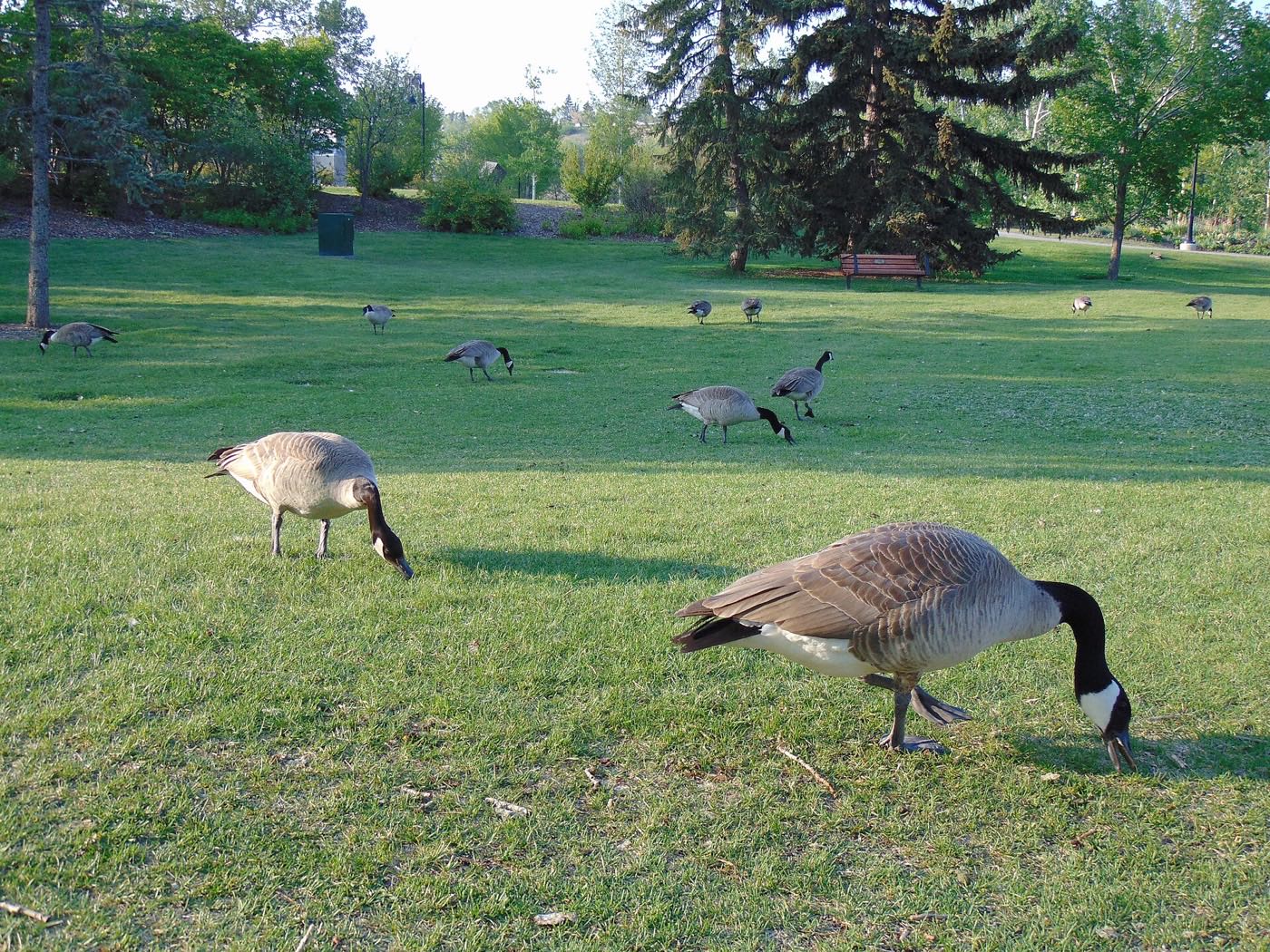
- Fish Creek's proximity brings deer and coyotes into the yards closest to the park, especially in winter
- Southland Leisure Centre and the Southland CTrain Station are both a real drive, not a walk, from here
How Woodbine got here
- 1975Fish Creek Provincial Park is formally established, later forming the community's southern boundary.
- 1979Woodbine is established. Wikipedia's infobox instead gives 1980.
- 2019The City's last civic census counts 8,866 residents in 3,372 dwellings, 3,328 of them occupied and 2,959 owner-occupied.
- 2021The federal census counts 8,745 residents in 3,325 private households, 90 per cent of them owners, with a median household income of $115,000 in 2020 against $98,000 across Calgary.
- 2020sMAX Yellow bus rapid transit runs through the community, with two stations inside it, Woodview and Woodpark. Sixty-nine per cent of the occupied housing dates from the 1980s and only 4 per cent from after 1990.
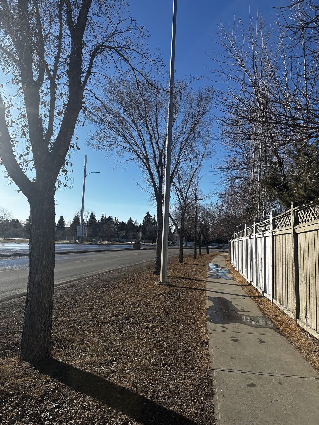
The park as the community's entire southern edge
Fish Creek Provincial Park, 13.48 km² and more than 100 km of paved and unpaved trails and the second-largest urban park in Canada, runs the length of Woodbine's southern boundary.
What the map does not show: the park is a short walk for most of the community rather than a drive, and it is the reason the closest streets sit on a genuine wildlife corridor.
Elsewhere in Calgary, not Woodbine


14 places, with real drive times
Road-adjusted distance and drive time from the centre of the community to each destination, nearest first. Filter by category.
Showing 1–12 of 14 places, nearest first.
Method: distances and drive times are estimated from the centre of the community to each destination using Calgary's road grid, and are rounded to honest ranges rather than presented as precise figures. Fish Creek Park and Woodbine Square are close enough to walk; everything else north of Anderson Road is a real drive.
Every gym within reach
No City pool or arena sits inside Woodbine. The Southland pool and its two arenas, all at 2000 Southland Dr. S.W., carry the load; the park is the free option most residents actually use.
- The Southland pool and the Ed Whalen and Joe Kryzcka arenas share 2000 Southland Dr. S.W.
- Fish Creek Provincial Park's trail network is the free option, directly on the community's edge
- No publisher this guide could open lists a club at Glenmore Landing or around Southcentre
- MAX Yellow's Woodview and Woodpark stations are the transit link out of the community
| Facility | What it is | Drive |
|---|---|---|
| Southland Leisure Centre open | The City's Southland pool at 2000 Southland Dr. S.W., with the Ed Whalen and Joe Kryzcka arenas at the same address. | 6–9 min |
| Fish Creek Provincial Park pathways open | Free option: more than 100 km of paved and unpaved trails, directly on the community's southern edge. | 1–2 min |
The park does the daily work. The Southland pool and arenas are the option for water and winter ice.
Two elementaries inside the community, both boards represented
Woodbine School covers kindergarten to grade 6 inside the community, and Wikipedia names St. Jude Elementary as the Catholic school here. Harold Panabaker, a middle school in Southwood with a Mandarin Bilingual Program, and Henry Wise Wood, grades 10 to 12 at 910 75 Ave S.W. with 1,862 students, both list outward: Henry Wise Wood's article names Woodbine among the sixteen communities it serves.
| School | Board | Note |
|---|---|---|
| Woodbine School | Calgary Board of Education | Kindergarten to grade 6 inside the community, the grades named on the school's own page. |
| St. Jude School | Calgary Catholic School District | Wikipedia names St. Jude Elementary as the Catholic school inside the community. The district's own site refuses automated clients, so its opening year and the Alpine Park connection this guide used to print are unconfirmed. |
| Harold Panabaker School | Calgary Board of Education | A middle school in the community of Southwood that also offers a Mandarin Bilingual Program for the south part of Calgary. Its page gives no grade range. |
| Henry Wise Wood High School | Calgary Board of Education | Grades 10 to 12 at 910 75 Ave S.W., enrolment 1,862 in 2025-26. Its Wikipedia article lists Woodbine among the communities it serves. |
Alberta funds Catholic education the same way it funds public education, so there is no tuition for a resident student at either board. Search your own address on the board's find-a-school page before you buy: the CBE publishes no attendance areas, so this guide confirms no designation, and the Catholic district's site refuses automated clients, so St. Jude's opening year and catchment are unconfirmed here.
Month by month, what living here looks like
Not a highlights reel: the actual annual rhythm, including the dates residents have to remember.
- Fish Creek's groomed loop along Woodbine's own southern boundary draws cross-country skiers all winter
- Woodbine Square's 98,022 square feet of retail carries the errands through the coldest weeks
- The Tsuut'ina Trail ring-road interchange west of the community carries the heaviest snow-day backups
- 1980s cul-de-sacs off Woodbine Boulevard hold their ploughed snow banks longer than the through streets
- A chinook can clear the Fish Creek escarpment trail below Woodbine in a single afternoon
- St. Jude and Woodbine Schools both run through the coldest weeks indoors
- Deer move off Fish Creek's valley floor into Woodbine's mature yards during cold snaps
- The year's hardest freeze tends to land in this month rather than January
- Meltwater off Woodbine's southern slope drains straight into Fish Creek by mid-month
- Cleats are the right footwear on the Fish Creek valley trail's shaded edges
- Tsuut'ina Trail's ring-road construction noise, when active, carries further on the thaw's still air
- 1980s driveways on the community's older cul-de-sacs heave with the freeze-thaw
- Fish Creek's full trail network along Woodbine's own boundary reopens for the season
- Woodbine School's field sports move outdoors onto the shared green space
- Deer that wintered in the mature yards drift back down to the creek valley
- Woodbine Square's parking lot fills for the spring garden centre rush at the anchor store
- The 1980s ash and maple canopy along Woodbine's crescents fills back in later than the older communities north of Anderson Road
- St. Jude and Woodbine Schools both move their spring concerts onto the shared field
- Sunset past 9pm turns the Fish Creek escarpment into an evening walking loop for the whole community
- Low rental turnover here means May's usual lease-change traffic barely registers
- School lets out and Fish Creek's trailheads along Woodbine's boundary see the year's first real crowds
- Woodbine Square's lot fills with the summer grocery run inside the community
- Thunderstorms building over the foothills are visible from the escarpment above the creek
- MAX Yellow's Woodview and Woodpark stations carry the summer commute out of the community
- Fish Creek's valley floor below Woodbine runs several degrees cooler than the streets above it
- Tsuut'ina Trail's ring-road ramps see steady weekend traffic west toward the mountains
- St. Jude's summer programmes use the school's own gym through the break
- Stampede parade traffic detours some commuters onto the Tsuut'ina Trail interchange
- Fish Creek's cottonwoods start dropping seed fluff along the trail below Woodbine
- Woodbine Square's back-to-school rush fills the anchor lot before September
- Wildfire haze from the west can settle low in the creek valley on windless days
- The community's low rental share means August's usual moving traffic is light here
- Woodbine and St. Jude Schools both restart the same week, doubling the morning crossing-guard load on Woodbine Boulevard
- Fish Creek's aspen and poplar turn first along the valley floor below the community
- Morning traffic on Anderson Road thickens with the school run from both sides of the boundary
- Woodbine Square's grocery run gets busier once the evenings shorten
- Peak colour runs down Woodbine's southern slope into Fish Creek's valley floor
- The first snow on the community's 1980s rooflines is normal, and normally melts by afternoon
- Deer start moving back up off the creek floor into Woodbine's yards as the cold sets in
- Tsuut'ina Trail's ring-road lighting switches on earlier each evening through the month
- Fish Creek's valley trail below Woodbine gets its first ice on the shaded switchbacks
- Woodbine Square's holiday displays go up inside the mall
- St. Jude and Woodbine Schools both hold their winter concerts before the break
- Dark commutes mean the Tsuut'ina Trail interchange lighting comes on well before five
- A strong chinook can leave Fish Creek's valley floor bare while Woodbine's own streets stay under snow
- Woodbine Square keeps holiday hours for the last-minute rush
- Fish Creek's groomed loop stays open through the holiday break for walkers who bundle up
- Anderson Road gets priority plowing well before Woodbine's own interior crescents do
7 more photographs of the community and its surroundings
All freely licensed, via Wikimedia Commons. Filter by category.


Showing 1–7 of 7 photographs.
About these photographs. Openly licensed images geotagged in or near Woodbine, found on Wikimedia Commons and served from there with full attribution. Inline photos elsewhere on the page may still come from the site's shared Calgary library.