
Southeast Calgary communities
The quadrant that invented the Calgary lake community and never stopped building them. Seven of the nine sit here, alongside Fish Creek Provincial Park and the Bow River valley.
Photograph: Snow on autumn colour · Bernard Spragg, NZ · CC0 · source
43 communities sit here (the third-largest quadrant by count) running from Fish Creek Provincial Park and the Bow River valley through older established suburbs out to newer development still building toward Stoney Trail. Auburn Bay, Chaparral, Lake Bonavista, Mahogany, McKenzie Lake, Midnapore, Sundance are here: seven of Calgary's nine private lake communities, more than the other three quadrants combined.
Fish Creek Provincial Park runs along most of the quadrant's southern edge, so distance to the park (not just to downtown) is often the more useful way to compare southeast communities to each other.
43 communities, guide by guide

Acadia
A 1960 southeast community built by Kelwood around curving streets, with its own community-built curling rink and pool and Red Line access from Heritage Station.
- 1960
- Established
- 3.9 km²
- Community land area

Albert Park/Radisson Heights
A 1910 inner-city community built around 17 Avenue SE's International Avenue, with a fake streetcar scheme in its origin story and its own CTrain station since 1985.
- 1910
- Community established
- 2.5 km²
- Community land area

Applewood Park
A 1982 southeast community boxed in by Stoney Trail and 17 Avenue SE, with East Hills retail immediately across the ring road.
- 1982
- Established
- 1.5 km²
- Community land area

Auburn Bay
A 43-acre lake with a 13-acre beach park, and a major hospital and huge YMCA immediately south.
- 2005
- Community established
- 4.5 km²
- Community land area
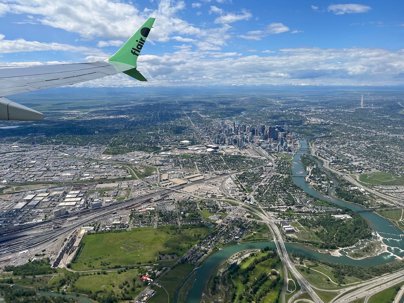
Belvedere
Approved in 2013 and under construction since 2020, built beside the East Hills retail centre on Calgary's far southeast edge.
- 2013
- Approved by Calgary City Council
- 2020
- Home construction began

Bonavista Downs
A small 1973 southeast community next to Lake Bonavista, sharing its neighbour's name and street-naming convention but none of its private lake.
- 1961
- Annexed to Calgary
- 1973
- Development begins
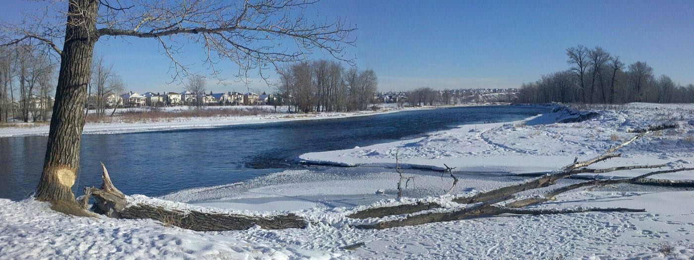
Chaparral
A 32-acre private lake, a park the residents association calls 22 acres, and the Bow River valley as the eastern edge.
- 1995
- Community established
- 5.4 km²
- Community land area

Copperfield
A 2002 Hopewell-built community of 14,095 residents organized around three stormwater ponds rather than a private lake, boxed in by 52 Street SE and Stoney Trail.
- 2002
- Construction begins
- 4.4 km²
- Community land area
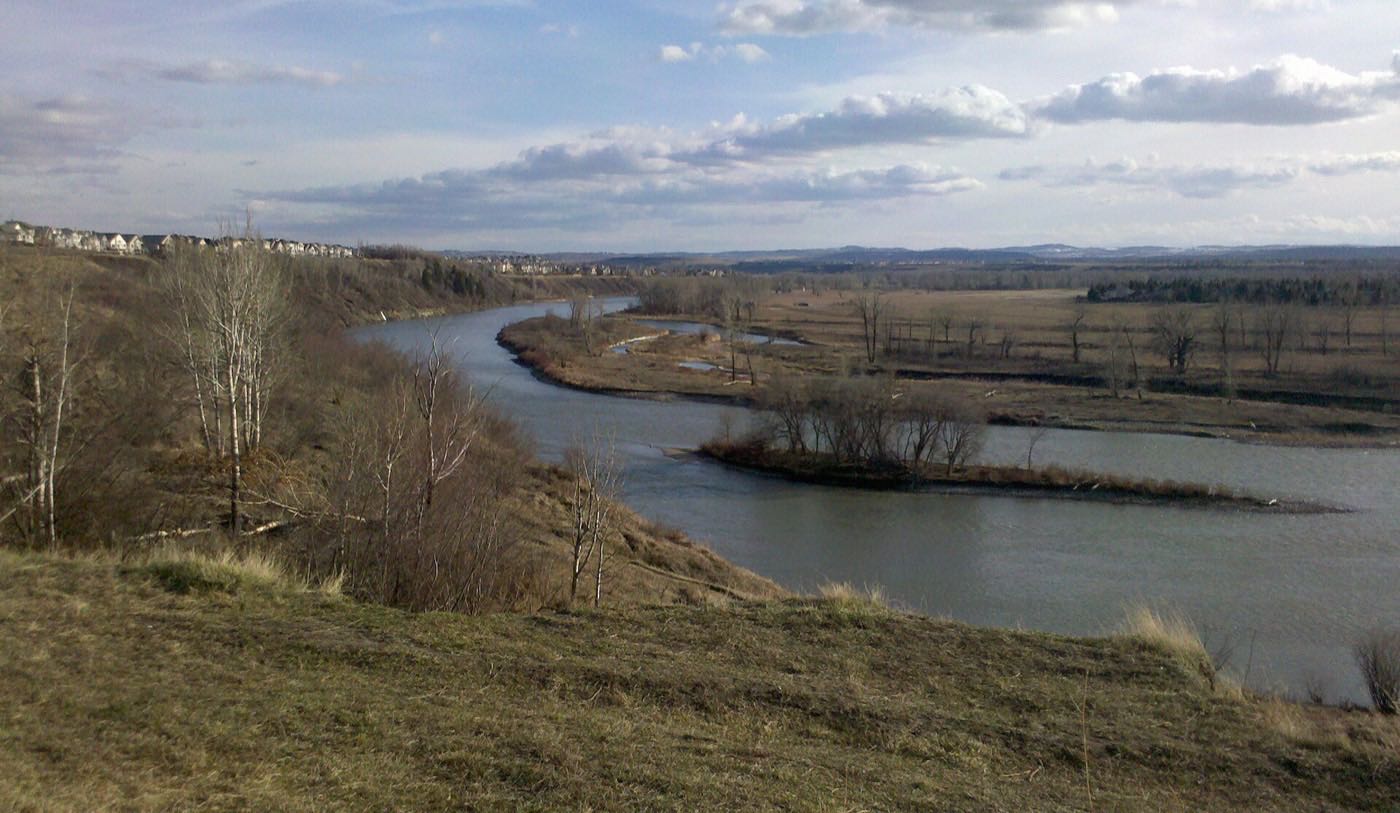
Cranston
One of Calgary's largest communities, built since 1999 along the Bow River and Fish Creek Provincial Park, with its own residents-only Century Hall.
- 1999
- Development begins
- 8.2 km²
- Community land area

Deer Ridge
A 1978 escarpment community above the Bow River, with Fish Creek Provincial Park as its eastern boundary and a slowly aging, fully built-out population.
- 1978
- Established (annexed 1961)
- 1.4 km²
- Community land area

Deer Run
A 1978 community wrapped by Fish Creek Provincial Park on two sides, with its own community centre and Sikome Lake a short drive south.
- 1978
- Community established (land annexed 1961)
- 1.9 km²
- Community land area

Diamond Cove
One of Calgary's smallest communities: a single-entrance estate enclave of cul-de-sacs on the escarpment above Fish Creek Provincial Park and the Bow River.
- 1991
- Community established
- 0.5 km²
- Community land area

Douglasdale/Glen
A 1986 southeast community on the Bow River, built around Douglasdale, Douglas Glen and the redeveloped Quarry Park gravel pit.
- 1986
- Community established
- 6.4 km²
- Community land area

Dover
A 1971 inner-southeast community built around Valleyview Regional Park, with one of Calgary's higher rental shares.
- 1971
- Established (annexed 1961)
- 4.2 km²
- Community land area
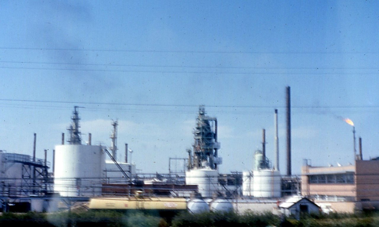
Erin Woods
A 1981 southeast community hemmed in by the CN railway on two sides, minutes from Forest Lawn's International Avenue and Elliston Park.
- 1981
- Established
- 1.6 km²
- Community land area
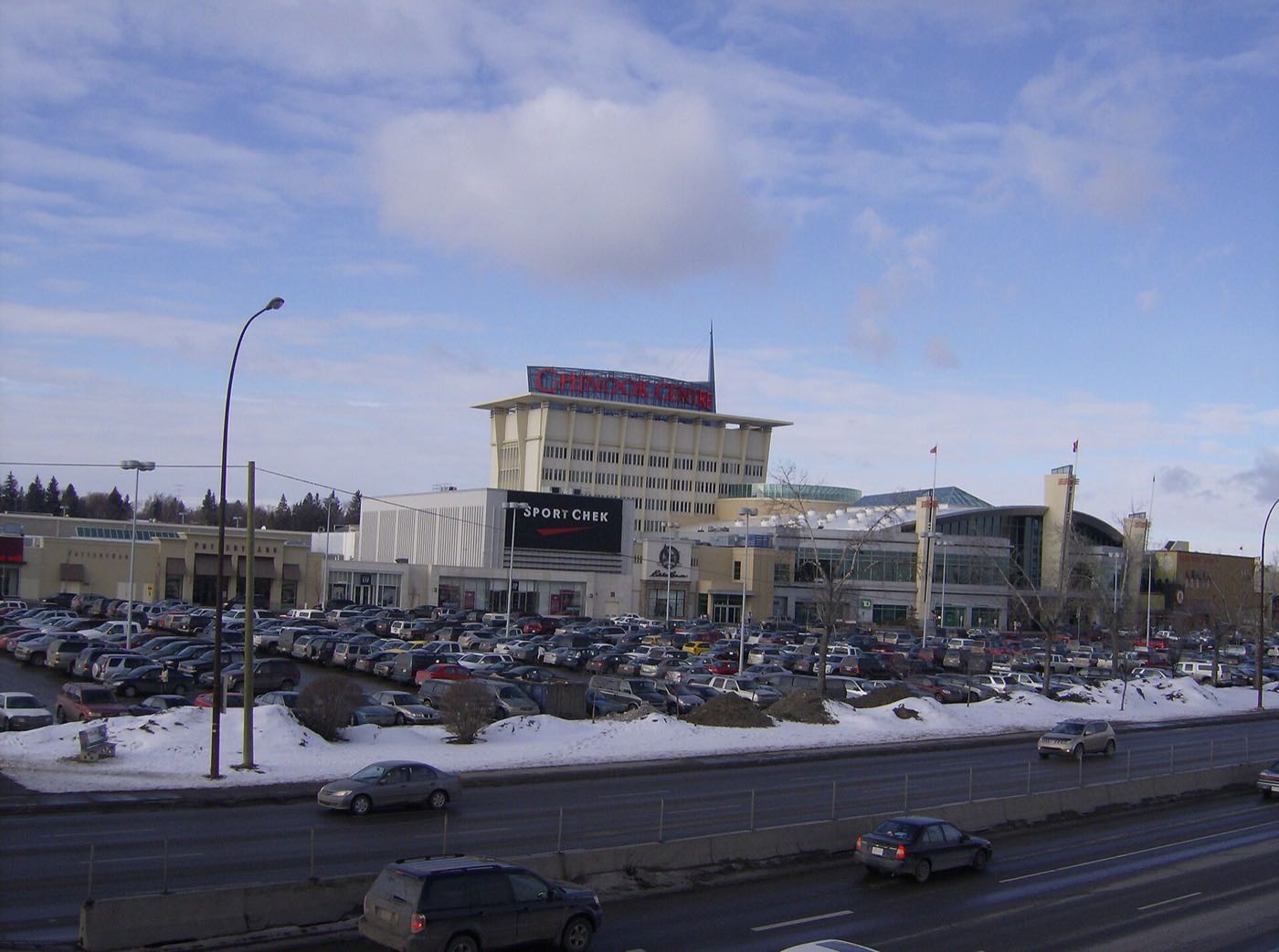
Fairview
A 1959 bungalow community on Macleod Trail, immediately south of Chinook Centre and on Heritage Park's northern approach.
- 1959
- Established
- 1.3 km²
- Community land area

Foothills
A 7.6 km² City of Calgary industrial district in the southeast, not a residential neighbourhood, with no population recorded in the City's own 2021 census dataset.
- Employment
- City's community structure
- 7.7 km²
- Community land area

Forest Heights
A 1959 inner-southeast community on Memorial Drive, immediately north of Forest Lawn and its International Avenue.
- 1959
- Established
- 1.50 km²
- Community land area

Forest Lawn
A former town annexed by Calgary in 1961, and the historic core of the multicultural 17 Avenue SE International Avenue corridor.
- 1961
- Annexed by Calgary
- 2.3 km²
- Community land area
Hotchkiss
A far-southeast community approved in 2013, named for Harley Hotchkiss. One dwelling and no residents at the last civic census, still building out today.
- 2013
- Community name approved by council
- Ward 12
- Southeast Calgary

Inglewood
Calgary's oldest neighbourhood, founded in 1875 at the Bow-Elbow confluence, built around the historic 9th Avenue SE main street.
- 1875
- Established (renamed Inglewood 1911)
- 2.5 km²
- Community land area
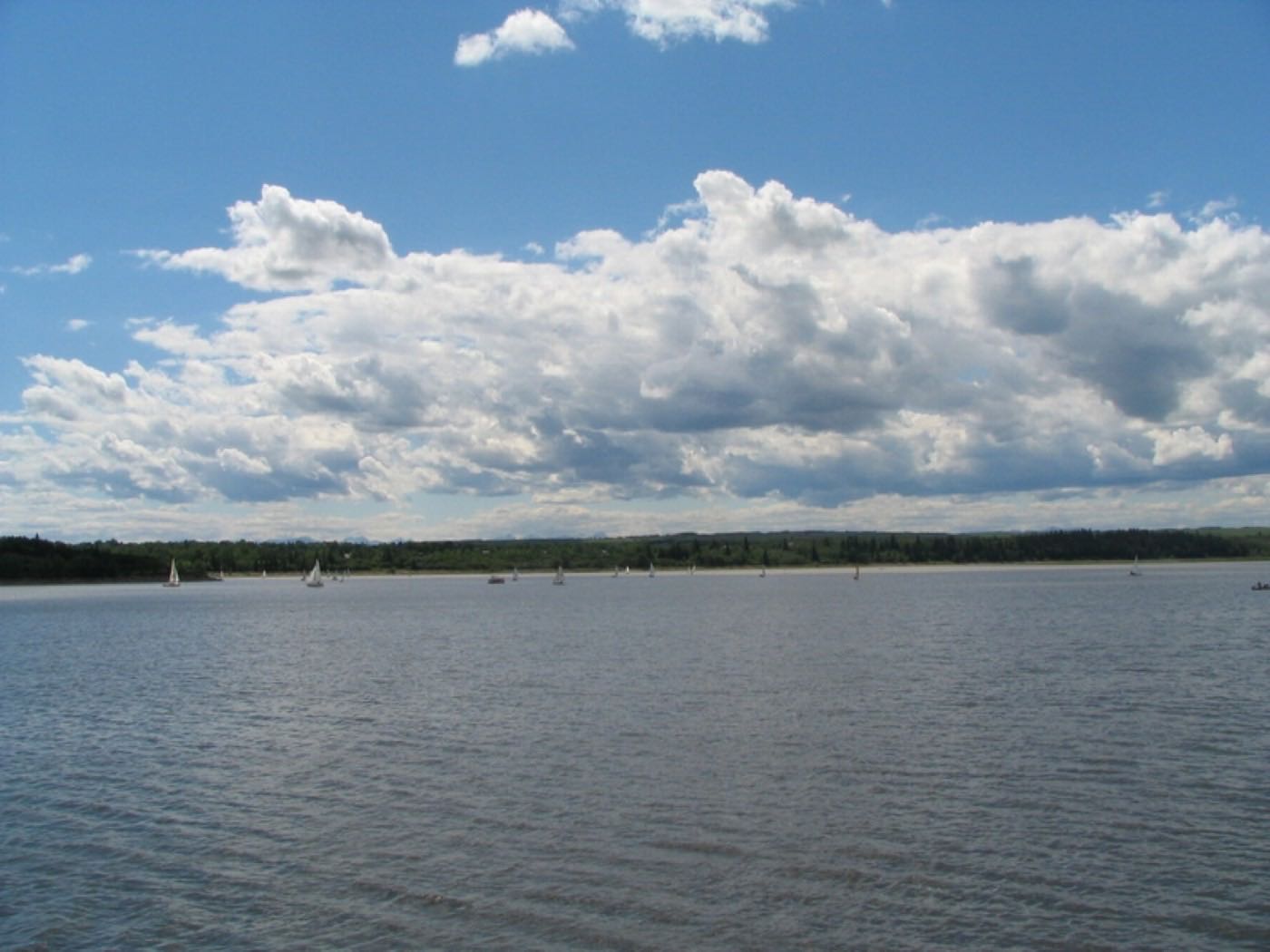
Lake Bonavista
The first community in Canada built around a man-made lake, and it has two, at 52 and 35 acres.
- 1967
- Community founded
- 5.2 km²
- Community land area
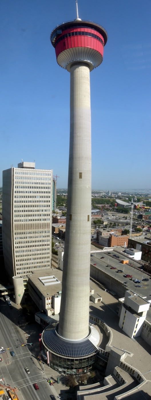
Legacy
A master-planned community building out since 2011 against a 300-acre environmental reserve and the Bow River escarpment, at the literal southern edge of the city.
- 2011
- Housing build-out begins
- 6.1 km²
- Community land area

Mahogany
Calgary's largest lake at about 64 acres, a protected wetland, and a hospital and huge YMCA minutes away.
- 2007
- Approved for development
- 6.4 km²
- Community land area

Maple Ridge
A 1966 community on the escarpment above the Bow River valley, wrapped by its own public golf course, directly across Anderson Road from Lake Bonavista but with no rights to its lake.
- 1966
- Community established
- 2.7 km²
- Community land area
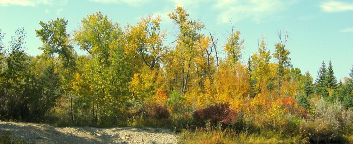
McKenzie Lake
A 43-acre lake with an island at its centre, and Fish Creek Park along the entire western edge.
- 1984
- Original McKenzie built
- 5.0 km²
- Community land area
McKenzie Towne
A 1995 New Urbanist master-planned community built around its own High Street main-street retail district, not a regional mall.
- 1995
- Community established
- 4.8 km²
- Community land area
Midnapore
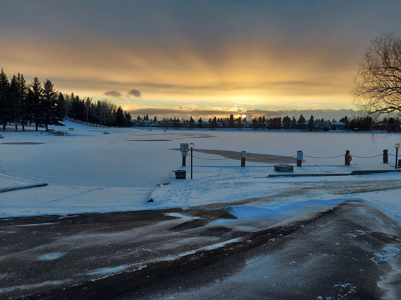
A pioneer hamlet that Calgary grew around: annexed in 1961, built out around a hand-dug 30-acre lake.
- 1961
- Annexed by Calgary
- 2.9 km²
- Community land area
New Brighton
A 2001 community built around its own residents-only clubhouse, splash park and outdoor rink, wedged between McKenzie Towne and Copperfield.
- 2002
- Community established
- 2.8 km²
- Community land area

Ogden
A 1912 CPR company town in southeast Calgary, built around the Ogden Shops rail yards on the Bow River, now home to CPKC's headquarters and a Green Line station under construction.
- 1912
- Established as a CPR company town
- 4.1 km²
- Community land area

Parkland
A 1974 community backing onto Fish Creek Provincial Park on two sides, next to Lake Bonavista but with no lake of its own.
- 1974
- Established as a community
- 1.9 km²
- Community land area
Penbrooke Meadows
A 1969 community on the International Avenue corridor, annexed with Forest Lawn in 1961 and one of Calgary's most diverse.
- 1969
- Established (annexed 1961)
- 2.0 km²
- Community land area

Queensland
A 1973 southeast community wedged between the Bow River and Fish Creek Provincial Park, immediately south of Diamond Cove.
- 1973
- Development began (annexed 1961)
- 1.6 km²
- Community land area

Ramsay
A dense 1914 inner-city community on the Bow-Elbow confluence, with Scotsman's Hill's view of the Stampede grounds as its defining feature.
- 1914
- Community established
- 0.9 km²
- Community land area
Rangeview
Calgary's first garden-to-table community, on the far southeast edge: 4.8 km² the City classes Developing, and no population it will publish yet.
- Developing
- The City's class for the community
- 4.8 km²
- Community land area, from the City boundary polygon
Red Carpet
A 1969 community of 0.6 km² built almost entirely around a mobile-home park, tucked between the CN tracks and 17 Avenue SE with Elliston Park on its doorstep.
- 1969
- Community established
- 0.6 km²
- Community land area

Riverbend
A 1982 community wrapped by a bend in the Bow River, with Carburn Park's ponds on one side and its own business park on the other.
- 1982
- Community established
- 4.0 km²
- Community land area
Seton
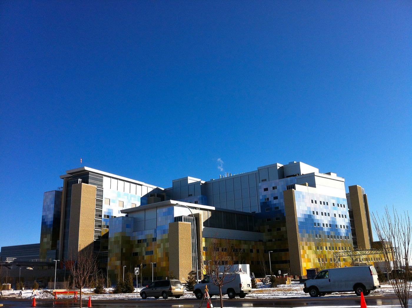
A 2018 urban district built around the 642-bed South Health Campus and the world's largest YMCA, at the end of Deerfoot Trail in the deep southeast.
- 2018
- Community established
- 4.5 km²
- Community land area

Southview
A 1.6 km² community established in 1950, the last to develop inside the Greater Forest Lawn area, with the Bow River as its own western boundary.
- 1950
- Established
- 1.6 km²
- Community land area
Sundance
Master-planned from 1982 around a 33-acre lake, with Fish Creek Provincial Park wrapping two edges.
- 1982
- Community established
- 4.0 km²
- Community land area
Walden
A community approved in 2007 and built almost entirely since 2011 along Macleod Trail at Calgary's southern edge, next to Legacy, with its own retail cluster and no school yet inside its own boundary.
- 2007
- Approved by council
- 2.5 km²
- Community land area
Willow Park
A 1965 community bisected by its own private golf course, with Southcentre Mall and an Anderson CTrain station at its own southwest corner.
- 1965
- Community established
- 3.4 km²
- Community land area
Wolf Willow
A brand-new WestCreek community on the Bow River south of Chaparral and Walden. Presales began in 2018, and it is still being built out today.
- 2.8 km²
- Community land area
- 525
- Residents (2021 census)
Photographs: Heritage station (Calgary) by Rustableprawn37, CC BY-SA 4.0, Wikimedia Commons · Looking southwest from Franklin station by under_volcano from Canada, CC BY-SA 2.0, Wikimedia Commons · Street Lights of 17 Avenue SE in Forest Lawn by CnekYT, CC BY-SA 4.0, Wikimedia Commons · Seton Gazebo at night in Calgary by CnekYT, CC BY-SA 4.0, Wikimedia Commons · Calgary from the air by Michael Weinold, CC BY 4.0, Wikimedia Commons · A dying strip mall in Bonavista Downs by CnekYT, CC BY-SA 4.0, Wikimedia Commons · The Bow River edge by Jock Rutherford, CC BY-SA 2.0, Wikimedia Commons · Downtown from Prince's Island by Tamsintj, CC BY-SA 4.0, Wikimedia Commons · The Bow River by Jock Rutherford, CC BY-SA 2.0, Wikimedia Commons · 1980s Housing in the Calgary community of Deer Ridge by CnekYT, CC BY-SA 4.0, Wikimedia Commons · Bow River, Calgary by jockrutherford from Owen Sound, ON, CC BY-SA 2.0, Wikimedia Commons · Forest cover in Calgary May 2025 by NameStuffs, CC BY 4.0, Wikimedia Commons · Trees in Douglasdale by NameStuffs, CC BY 4.0, Wikimedia Commons · The Calgary skyline, summer 2016 by Kay Röllig, CC BY 3.0, Wikimedia Commons · A refinery on Calgary's eastern edge by Robert Taylor from Stirling, ON, Canada, CC BY 2.0, Wikimedia Commons · CF Chinook Centre by User:Thivierr, CC BY-SA 3.0, Wikimedia Commons · Abandoned house located in the Calgary community of Ogden by CnekYT, CC BY-SA 4.0, Wikimedia Commons · Marlborough Mall by User:Thivierr, CC BY-SA 3.0, Wikimedia Commons · 17 Avenue SE (International Avenue SE) in the Calgary community of Forest Lawn, near 44 Street SE by CnekYT, CC BY-SA 4.0, Wikimedia Commons · Blackfoot Truck Stop diner by E.3, CC BY-SA 4.0, Wikimedia Commons · Glenmore Reservoir by Qyd, CC BY-SA 3.0, Wikimedia Commons · The Calgary Tower by Qyd (talk · contribs), CC BY 2.5, Wikimedia Commons · Seton Library by Calgary Public Library, CC0, Wikimedia Commons · The bridge over the Bow at Sue Higgins Park by davebloggs007, CC BY 2.0, Wikimedia Commons · Golden glow by John Johnston, CC BY 2.0, Wikimedia Commons · Midnapore Lake, frozen by Jtayl132, CC BY-SA 4.0, Wikimedia Commons · Ogden Block by CnekYT, CC BY-SA 4.0, Wikimedia Commons · Bow River, Calgary by jockrutherford from Owen Sound, ON, CC BY-SA 2.0, Wikimedia Commons · Queensland Downs Shopping Centre by CnekYT, CC BY-SA 4.0, Wikimedia Commons · Calgary Saddledome by Colby Stopa from Calgary, Canada, CC BY 2.0, Wikimedia Commons · Calgary Transit bus by St Clair Witch, CC BY 4.0, Wikimedia Commons · Carburn Park, July 2015 by davebloggs007, CC BY 2.0, Wikimedia Commons · South Health Campus by JMacPherson, CC BY 2.0, Wikimedia Commons · A panorama over southeast Calgary by rokker, CC BY 3.0, Wikimedia Commons.
.jpg)
.jpg)


.jpg)
_in_the_Calgary_community_of_Bonavista_Downs_(28215).jpg)
.jpg)


.jpg)


_(cropped).jpeg)
.jpg)


_in_the_Calgary_community_of_Forest_Lawn,_near_44_Street_SE.jpg)


.jpg)
.jpg)


.jpg)

.jpg)

.jpg)

.jpg)