
Live in Penbrooke Meadows
A 1969 community on the International Avenue corridor, annexed with Forest Lawn in 1961, where 38% of residents are immigrants against 33% citywide.
Penbrooke Meadows was annexed into Calgary in 1961 as part of the former town of Forest Lawn, and established as its own community in 1969. It sits directly east of Forest Lawn along 17 Avenue SE, the International Avenue corridor that forms its southern boundary. At the 2021 census it held 8,235 residents in 3,005 private households, with 38% of residents immigrants against 33% citywide and 38% of households renting against 31%. Eighty-one per cent of the occupied stock was built between 1961 and 1980.
East of Forest Lawn, along the International Avenue corridor
Bounded north by Memorial Drive, east by 68 Street E, south by 17 Avenue SE, and west by 52 Street E. Ward 9.
Penbrooke Meadows was annexed by Calgary in 1961 as part of the former town of Forest Lawn, and established as its own community in 1969. It sits directly east of Forest Lawn, with 17 Avenue SE (the multicultural International Avenue corridor) forming its southern boundary.
The four hard boundaries are Memorial Drive to the north, 68 Street E to the east, 17 Avenue SE to the south and 52 Street E to the west: a compact 2.0 km² grid.
Housing mix. Entirely low-rise, with nothing above five storeys: 45% single-detached houses, 22% row houses, 15% flats in duplexes and 13% apartments in buildings under five storeys. 38% of households rent, against 31% citywide, a level of rental tenure closer to an inner-city community than a typical postwar suburb. Median household income was $73,000 in 2020, against $98,000 across Calgary, and 25% of households spend 30% or more of income on shelter. Wikipedia's 3% condominium figure counts buildings, not dwellings, and does not match the census shares.
Who lives here. 38% of residents were immigrants at the 2021 count, against 33% across Calgary, and 69% speak English most often at home against 75% citywide. Households run larger than the city average, 2.7 people against 2.6, with 11% of them five or more. The last civic census, in 2019, counted 8,554 residents; the federal census two years later counted 8,235 in 3,005 private households. A mature, fully built-out community rather than a growing one.
- 81% of the occupied stock was built between 1961 and 1980. Original roofs, windows, furnaces and electrical panels are at or past design life
- Aluminum wiring was still being used in Alberta in this era; have it inspected specifically
- 38% of households rent, against 31% citywide: a more transient population than most single-family suburbs
- 17 Avenue SE carries real traffic and commercial activity along the southern edge. Go and listen at different times of day
- No CTrain station inside the community; Franklin on the Blue Line is the nearest, a drive rather than a walk
- Getting west to the mountains means crossing most of the city. Budget well over an hour to Kananaskis
How Penbrooke Meadows got here
- 1961Annexed by the City of Calgary as part of the former town of Forest Lawn.
- 1968Forest Lawn High School is established at 1304 44 Street SE. It serves Penbrooke Meadows among sixteen communities.
- 1969Penbrooke Meadows is established as its own community east of Forest Lawn, and development begins.
- 1972The Penbrooke Meadows Community Association is registered on 14 June. Its hall at 6100 Penbrooke Drive SE has a 299-capacity main hall, a stage, a commercial kitchen, a lounge and a games room.
- 1993The International Avenue Business Revitalization Zone is created along 17 Avenue SE.
- 2021The federal census records 8,235 residents in 3,005 private households: 38% of households renting, 38% of residents immigrants, and a median household income of $73,000 in 2020.
- 2026GlobalFest moves to Spruce Meadows, running 27 to 30 August. The City's own Elliston Park page still names the park as the site of the annual GlobalFest fireworks competition.
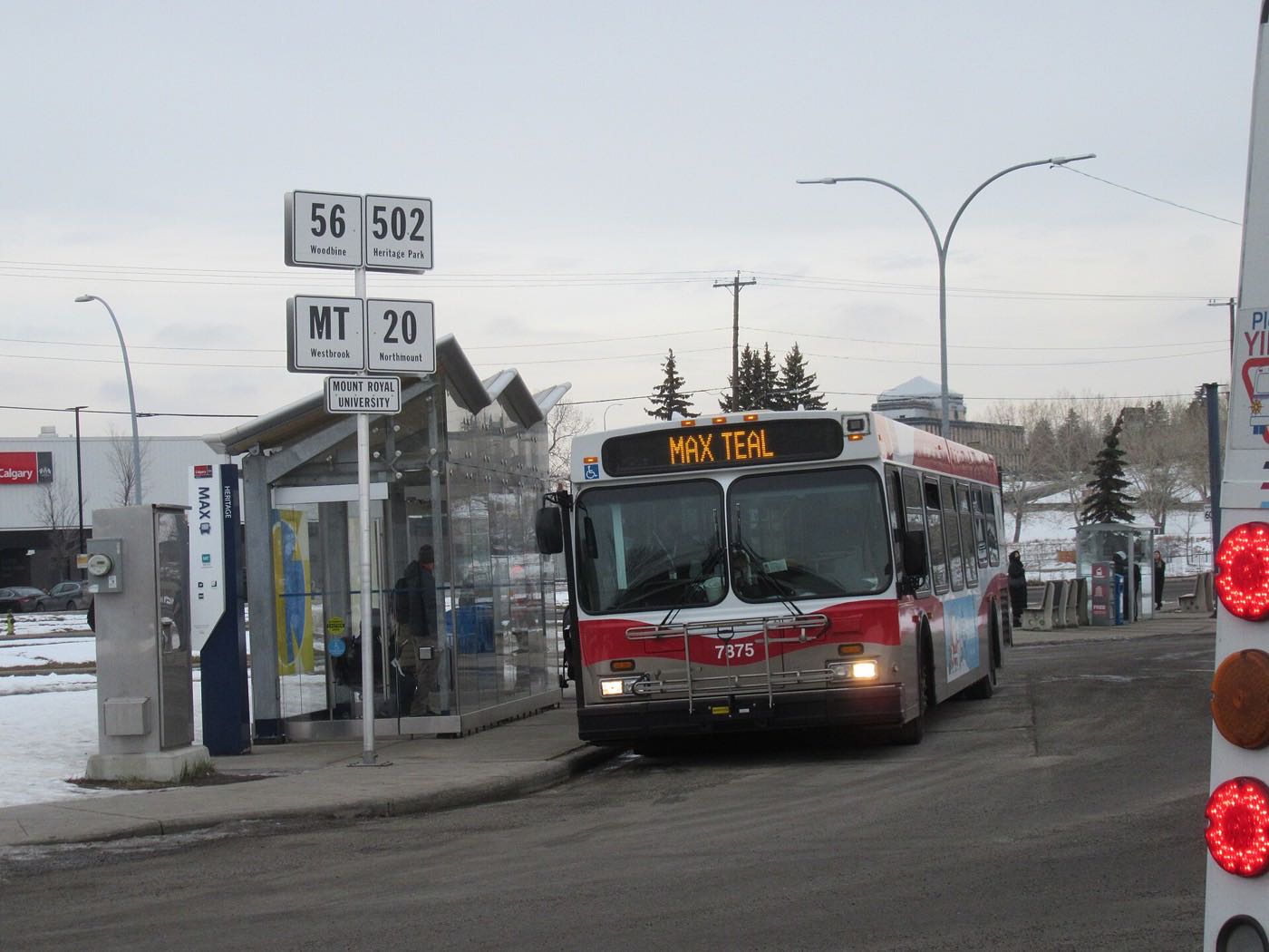
Elliston Park, minutes southeast, and the corridor at the door
There is no river valley inside the community's own boundaries. The nearest significant open space is Elliston Park, five to nine minutes southeast: 415 hectares at 1827 68 Street SE, with a 20-hectare stormwater retention pond, pathways, playgrounds, a rose garden, an interactive sundial and an off-leash area. It was the home of GlobalFest's fireworks for years, and the City's park page still says so, but GlobalFest itself now runs at Spruce Meadows, 27 to 30 August in 2026.
What the map does not show: the real amenity here is the 17 Avenue SE corridor itself: revitalized as the International Avenue Business Revitalization Zone since 1993, and now one of Calgary's most genuinely diverse strips of independent restaurants and shops. That is a different kind of open space than a park, but it is the one this community actually has on its doorstep.
Elsewhere in Calgary, not Penbrooke Meadows

21 places, with real drive times
Road-adjusted distance and drive time from the centre of the community to each destination, nearest first. Filter by category.
Showing 1–12 of 21 places, nearest first.
Method: distances and drive times are estimated from the centre of the community to each destination using Calgary's road grid, and are rounded to honest ranges rather than presented as precise figures. Four schools sit within a few minutes of the community centre; the mountains, by contrast, are a genuine haul from this far east.
Every gym within reach
The nearest paid option is a short drive into neighbouring Forest Lawn, with the northeast's larger civic facilities a bit further out. Confirm hours before you count on any of them.
- Pool, dive tank, hot tub, steam room, weights and cardio and a fitness studio
- Village Square Leisure Centre at 2623 56 Street NE is the larger regional hub: wave pool, water slides, gymnasium and arenas. Confirm current hours
- Max Bell Centre's two City arenas, Ken Bracko and Perry Cavanagh, sit west along the rail corridor
- The community's own pathways and Elliston Park are the free option
| Facility | What it is | Drive |
|---|---|---|
| Bob Bahan Aquatic & Fitness Centre open | City pool, dive tank, hot tub, steam room, weights and cardio and a fitness studio at 4812 14 Ave. S.E. | 4–6 min |
| Village Square Leisure Centre open | Wave pool, dive tank, water slides, a safari splash zone, gymnasium, weights and cardio and arenas at 2623 56 St. N.E. | 8–11 min |
| Genesis Centre open | Recreation facility in the northeast. No publisher we could open sets out its facilities. | 10–15 min |
| Max Bell Centre open | Two City arenas, Ken Bracko and Perry Cavanagh, west along the rail corridor. | 6–10 min |
| Penbrooke Meadows community pathways open | Free option: the community's internal green space and pathway network. | 1–2 min |
| Elliston Park pathways open | Free option: pathways around the 20-hectare stormwater retention pond at 1827 68 St. S.E. | 5–9 min |
Nothing is inside the community itself. Every option here is a drive, however short: plan accordingly if you are counting on walkable fitness.
Four schools inside or immediately adjacent to the community
Penbrooke Meadows School runs kindergarten to grade 9 inside the community and carries the board's LEAD programme; G.W. Skene and James Short Memorial add further public capacity, and St. Peter Elementary is the Catholic school Wikipedia places here. Forest Lawn High School, grades 10 to 12 at 1304 44 Street SE, lists Penbrooke Meadows among the sixteen communities it serves.
| School | Board | Note |
|---|---|---|
| Penbrooke Meadows School | Calgary Board of Education | Kindergarten to grade 9 inside the community, serving Penbrooke Meadows students and the LEAD programme. |
| G.W. Skene School | Calgary Board of Education | Calgary Board of Education school serving the community. Its own page prints no grade range. |
| James Short Memorial School | Calgary Board of Education | Kindergarten to grade 9, serving the community. |
| St. Peter Elementary | Calgary Catholic | Catholic elementary named in Wikipedia's article on the community. The district's site refuses automated clients, so nothing here was read from it. |
| Forest Lawn High School | Calgary Board of Education | Grades 10 to 12 at 1304 44 Street SE, enrolment 1,286 in 2021. Its own article lists Penbrooke Meadows among the sixteen communities it serves. |
Alberta funds Catholic education the same way it funds public education, so there is no tuition for a resident student at either board. Confirm the current designation for a specific address with the board before you buy: the Calgary Catholic School District's site refuses automated clients, so nothing on the Catholic side here was read from the district itself.
Month by month, what living here looks like
Not a highlights reel: the actual annual rhythm, including the dates residents have to remember.
- 17 Avenue's restaurants stay busy through the cold. Indoor dining is the corridor's winter draw
- Memorial Drive gets priority plowing as a river-valley commuter route
- Bob Bahan's pool and fitness classes carry the indoor season
- Deep cold settles hardest on the exposed rail-adjacent streets near the eastern boundary
- Chinooks reach this far east a little sooner than the outer suburbs, but still lag the inner city
- Village Square's wave pool and arenas are at their busiest
- Coldest stretches usually break within a few days
- Family Day programming runs at Bob Bahan and the community association hall
- Melt and refreeze on side streets through the community's older grid
- Elliston Park's pathways reopen as the ice clears
- First bare pavement usually appears along Memorial Drive before the interior streets
- 17 Avenue patios start to reopen on the first warm afternoons
- Last hard frosts: planting waits until the long weekend
- Elliston Park's stormwater lake fills and pathways firm up
- Migratory geese and ducks stage on the lake at Elliston Park
- Elliston Park's rose garden and pathways come back into use as the ground dries
- Long evenings: sunset past 9pm by month end
- Community league and school field sport seasons start
- 17 Avenue's restaurant patios fill on the first warm weekends
- Hail season begins across southeast Calgary
- Peak daylight at the solstice: over 16 hours
- School year ends at the community's four schools
- Thunderstorm season is fully under way
- Elliston Park's pathways and green space see their heaviest weekday use
- Calgary Stampede: ten days, a short drive west on 17 Avenue or Memorial Drive
- 17 Avenue's restaurant scene is at its liveliest on warm evenings
- Evening thunderstorms roll in from the west
- Stampede week traffic runs west along 17 Avenue and Memorial Drive
- GlobalFest runs 27 to 30 August at Spruce Meadows, across the city, after years at Elliston Park
- Elliston Park's own pathways and off-leash area carry the late-summer evenings
- Quietest weeks before school returns
- 17 Avenue businesses see their busiest month of the year
- School year restarts at Penbrooke Meadows, St. Peter, G.W. Skene and James Short Memorial
- First frost typically arrives late in the month
- 17 Avenue's patio season winds down through the month
- Elliston Park's colours turn as the poplars and aspens change
- First snow is normal, and normally melts
- Snow tires go on
- Shorter evenings noticeable by mid-month
- Halloween is a genuine community event along the older, walkable blocks
- Dark by 5pm
- Indoor recreation season restarts at Bob Bahan and Village Square
- 17 Avenue's restaurants become the default option as patio season ends
- Elliston Park's lake starts to freeze over
- Holiday lights along 17 Avenue reflect the corridor's mix of cultures and cuisines
- Bob Bahan's pool runs a full holiday schedule
- Chinooks, when they come, bring brief mid-winter thaws
- Elliston Park's lake typically holds ice through the month
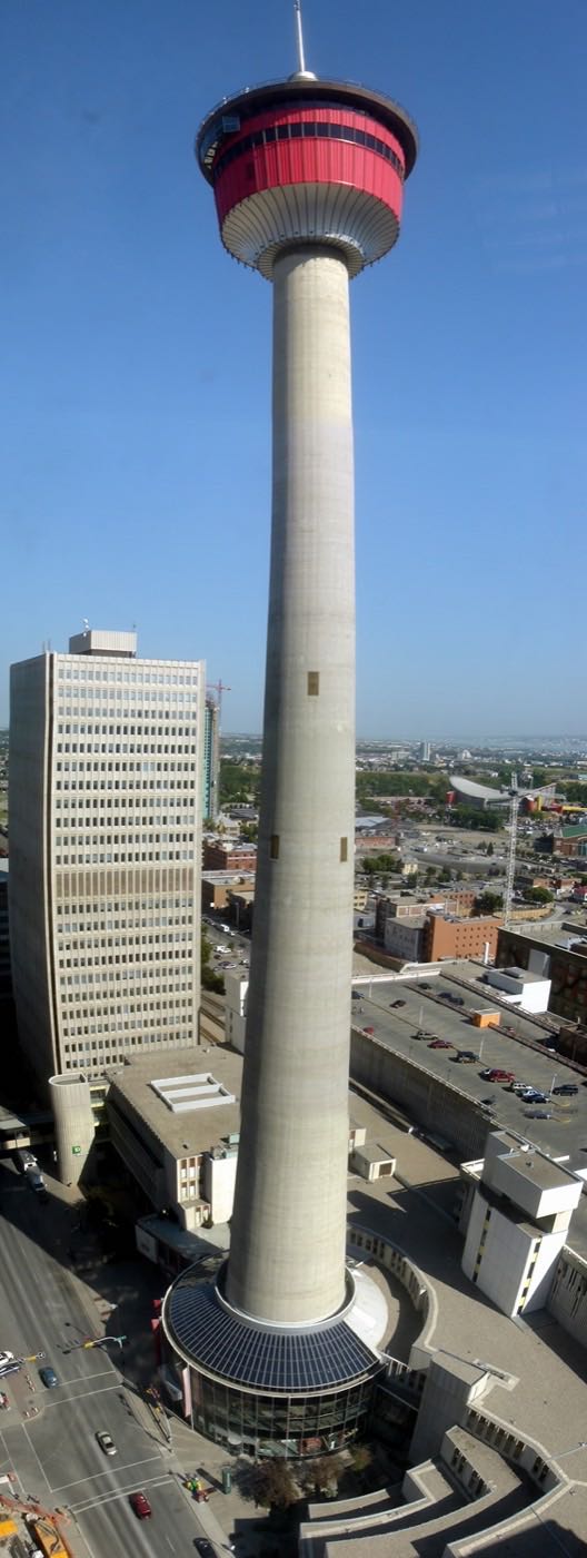
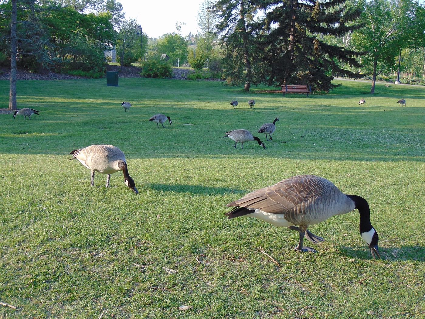
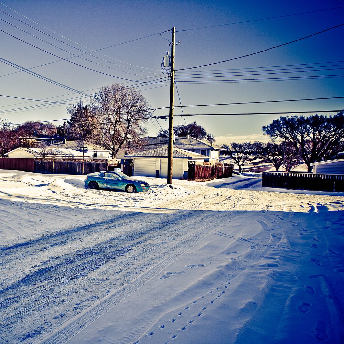
3 more photographs of the community and its surroundings
All freely licensed, via Wikimedia Commons. Filter by category.


Showing 1–3 of 3 photographs.
About these photographs. Openly licensed images geotagged in or near Penbrooke Meadows, found on Wikimedia Commons and served from there with full attribution. Inline photos elsewhere on the page may still come from the site's shared Calgary library.