
Live in Walden
A community approved in 2007 and built out almost entirely since 2011, running along Macleod Trail at the city's southern edge, next to Legacy.
Walden was annexed in 2005, approved by Calgary City Council in July 2007 and named after Henry David Thoreau's book, but it stayed mostly farmland for years afterward. The civic census counted only 594 residents in 2011. What exists today was built in the decade after that: by the 2021 federal census the community held 7,650 residents in 2,780 private households, with 90% of the occupied dwellings built since 2011 and none before 2001. It has its own retail on Macleod Trail, a naturalized wetland and clear-water pond at its centre, and, as of 2026, still no school inside its own boundary.
Approved in 2007, but really a decade of building since 2011
Bounded north by the community of Chaparral, roughly along 194 Avenue SE, east by the Bow River Valley, south by Legacy, and west by Macleod Trail. Ward 14.
The land was annexed in 2005, and Walden was approved by Calgary City Council in July 2007, created by Genstar and named after Henry David Thoreau's book. It stayed mostly farmland for years afterward: the civic census counted only 594 residents in 2011. Almost everything standing today was built in the decade after that, and the census says so plainly: 90% of the occupied dwellings date from 2011 or later and none at all from before 2001.
It sits at the literal southern edge of the city: bounded north by Chaparral, roughly along 194 Avenue SE, east by the Bow River Valley, south by Legacy, and west by Macleod Trail. Ward 14.
Growth and housing. Population grew 57.4% in a single year between 2011 and 2012, and by the 2021 federal census the community held 7,650 residents in 2,780 private households, average household size 2.8. Median household income was $109,000 in 2020 against $98,000 citywide, with 82% of households owning and 18% renting. Only 6% of residents are 65 or over, against 13% across the city.
Who lives here. 44% of residents were immigrants at the 2021 count, well above the citywide average, drawing from Asia, Africa, Europe and the Americas.
Retail, but no school yet. There is retail on Macleod Trail, though no publisher we could open gives its floor area or its anchors, and Genstar points instead to a district of more than 65 shops just south of 210 Avenue. A school inside Walden's own boundary is the thing that has not arrived: Alberta's major projects register still lists a new K-9 Catholic school here, and nothing has opened.
- No school sits inside Walden itself yet. Alberta's major projects register lists a K-9 Catholic school here with no date attached; confirm the current designation for a specific address
- The Bow River Valley forms the eastern boundary, but there is no direct crossing. Seton and South Health Campus mean the long way around via Stoney Trail
- 44% of residents are immigrants, well above the citywide average
- Growth here has been among the fastest of any Calgary community: 594 residents in 2011 to 7,650 a decade later
- The Macleod Trail retail covers the daily list; bigger shopping means a real drive to Seton, Shawnessy or Southcentre
- 90% of the occupied stock was built from 2011 on and none before 2001, so this is a new-build market with new-build warranties and new-build defects
How Walden got here
- 2005The land is annexed by the City of Calgary as part of the West Macleod area, south of Chaparral and west of the Bow River.
- 2007Calgary City Council approves Walden as a new community in July, developed by Genstar and named after Henry David Thoreau's Walden.
- 2011First residents move in; the civic census counts 594 people. The start of a decade of rapid build-out.
- 2012Population grows 57.4% in a single year to 935 residents in 450 dwellings, among the fastest-growing communities in the city at the time.
- 2011–2021The bulk of the community is built out. Genstar planned three villages and Wikipedia records a 160-acre park system; 90% of the occupied dwellings standing in 2021 were built from 2011 on.
- 2021The federal census counts 7,650 residents in 2,780 private households, a median household income of $109,000 for 2020, and 44% of residents immigrants.
- 2026Alberta's major projects register still lists a new K-9 Catholic school in Walden. Nothing has opened inside the community.

A wetland at the centre, and Fish Creek a short drive north
Genstar designed Walden around a naturalized wetland and clear-water pond, with a pathway system it says connects preserved trees, the ponds, the parks and playgrounds, and Fish Creek Provincial Park. Wikipedia records a 160-acre park system in the completed plan. For a larger public park, Fish Creek Provincial Park, whose Central Corridor Pathway alone runs about 19 km, is a short drive north via Macleod Trail.
What the map does not show: the wetland and pond are a genuine centrepiece and support real birdlife, but they are stormwater infrastructure with a park built around them, not a protected natural area. Fish Creek is the honest alternative when you want more than a loop around the pond.
Elsewhere in Calgary, not Walden

19 places, with real drive times
Road-adjusted distance and drive time from the centre of the community to each destination, nearest first. Filter by category.
Showing 1–12 of 19 places, nearest first.
Method: distances and drive times are estimated from the centre of the community to each destination using Calgary's road grid, and are rounded to honest ranges rather than presented as precise figures. Walden's numbers are lopsided in a specific way: Macleod Trail and Stoney Trail are at the doorstep, but the Bow River Valley on the eastern boundary has no direct crossing, so Seton and South Health Campus take longer to reach than the straight-line distance suggests.
Every gym within reach
Walden itself has a chain gym on its own boundary road, with the region's major facility, the Seton YMCA, a genuine drive rather than a quick trip. YMCA Calgary publishes addresses and hours and no amenity lists, so what is inside either branch is not something this guide can show you.
- Open 5:30 a.m. to 10 p.m. on weekdays and 7 a.m. to 8 p.m. at weekends, sharing its address with the library's Seton branch
- Anytime Fitness sits right on 194 Avenue SE, Walden's own northern boundary road
- Shawnessy YMCA, 400-333 Shawville Blvd SE, is the closer alternative north up Macleod Trail
- The community's own pathways and wetland loop are the free option
| Facility | What it is | Drive |
|---|---|---|
| Brookfield Residential YMCA at Seton open | YMCA at 4995 Market Street SE, open 5:30 a.m. to 10 p.m. on weekdays and 7 a.m. to 8 p.m. at weekends, sharing its address with the Calgary Public Library's Seton branch. YMCA Calgary publishes no per-branch amenity list. | 10–15 min |
| Anytime Fitness: 194 Avenue SE open | Chain gym on Walden's own northern boundary road. No publisher we could open confirms its hours. | 2–4 min |
| F45 Training, Legacy open | Group training studio in neighbouring Legacy. No publisher we could open confirms its hours. | 3–5 min |
| YMCA Shawnessy open | YMCA at 400-333 Shawville Blvd SE, open 5:30 a.m. to 9 p.m. on weekdays and 7 a.m. to 5 p.m. at weekends, north up Macleod Trail. | 8–11 min |
| Walden's own pathways and parks open | Free option: the naturalized wetland and clear-water pond at the community's centre, and the pathway system Genstar says connects preserved trees, the parks and Fish Creek Provincial Park. | 1–2 min |
| Fish Creek Provincial Park trails open | Free option: the park's trail system a short drive north, whose Central Corridor Pathway alone runs about 19 km. | 10–14 min |
The river valley matters here. Because there is no direct crossing of the Bow River near Walden, reaching the Seton YMCA means routing north to Stoney Trail first. Budget the full drive time rather than the straight-line distance on a map.
No school inside Walden yet: two are planned
Chaparral School, a CBE kindergarten to grade 6 immediately north, is the nearest existing elementary. Centennial High School, grades 10 to 12 in Sundance, names Walden among the ten communities it serves, and All Saints High School in Legacy names it among eleven. Alberta's major projects register lists a K-9 Catholic school for Walden with no date attached, and nothing has opened inside the boundary.
| School | Board | Note |
|---|---|---|
| Chaparral School | Calgary Board of Education | Kindergarten to grade 6, immediately north in Chaparral: the nearest existing elementary. Its site publishes no attendance area. |
| Centennial High School | Calgary Board of Education | Grades 10 to 12 at 55 Sun Valley Boulevard SE in Sundance, open since 2004, with 1,595 students in 2023. Walden is one of the ten communities it names as served. |
| All Saints High School | Calgary Catholic School District | Grades 10 to 12 at 729 Legacy Village Road SE, open since 2018. Walden is one of the eleven communities it names as served. |
| A Catholic K-9 for Walden | Calgary Catholic School District | Alberta's major projects register lists a new K-9 Catholic school in Walden, south Calgary. The register gives no status, value or completion date, and nothing has opened. |
| Designated schools | Both boards | The CBE assigns a designated school by home address and program and publishes it only through the address search on its Find a School page. No CBE elementary is published for a site inside Walden, so the design-phase project this guide once described is not claimed here. |
Alberta funds Catholic education the same way it funds public education, so there is no tuition for a resident student at either board. Confirm the current designated school and any interim busing arrangement for a specific address with the board before you buy: the CBE publishes designations only through the address search on its Find a School page, and the Calgary Catholic School District's site refuses automated clients, so All Saints is cited here from Wikipedia rather than from the district.
Month by month, what living here looks like
Not a highlights reel: the actual annual rhythm, including the dates residents have to remember.
- Walden's own wetland and pond freeze over: no organized skating, just a quiet white centre to the community
- Macleod Trail and Stoney Trail are priority routes, so plowing holds up well
- Chaparral School and All Saints run on winter bus schedules along 194 Avenue
- Chinooks reach this far south but can lose strength before they arrive
- Family Day long weekend brings crowds to Southcentre and Chinook Centre, both a drive north
- Coldest stretches typically break with a chinook by month's end
- Days are noticeably longer by the last week
- Anytime Fitness and F45 both see their post-holiday membership push
- Melt and refreeze on streets still only a decade or so old
- Fish Creek's trails start to firm up north of Chaparral
- Spring break fills Seton's cinema and the Brookfield YMCA
- Construction resumes on the community's still-unfinished newer blocks
- Walden's pond and wetland thaw, and waterfowl return to nest
- Last hard frosts before planting
- Fish Creek Provincial Park's pathways reopen in full
- Show-home traffic picks up on the community's newest streets
- The playgrounds along the pathway system fill on warm evenings
- Long evenings: sunset past 9pm by month's end
- Patios open for the season at the Macleod Trail retail
- Hail season begins across the southeast
- Peak daylight at the solstice: over 16 hours
- School year ends at Chaparral School, All Saints and Centennial High
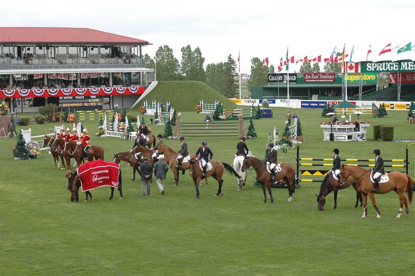
- Spruce Meadows' June tournament runs a short drive southwest
- Thunderstorm season is fully under way
- Calgary Stampede, roughly half an hour north on Macleod Trail
- Walden's pathway system and its wetland loop are at their busiest
- Hottest month, with little shade on the community's newer streets
- Evening thunderstorms roll in from the west
- Spruce Meadows' late-summer tournament runs southwest of the community
- Quiet weeks before school returns
- The Macleod Trail retail and Seton both run back-to-school promotions
- Warm evenings on the wetland pathways
- School year restarts at Chaparral School, All Saints and Centennial High
- First frost typically arrives late in the month
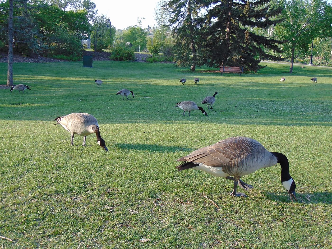
- Migrating geese stage on the community pond before heading south
- Spruce Meadows' autumn tournament closes out the show-jumping season
- First snow is normal, and normally melts
- Snow tires go on
- Halloween is enormous in a community this young and this dense with children
- Shorter evenings noticeable by mid-month
- Dark by 5pm
- Indoor recreation at the YMCA and Anytime Fitness picks up for the season
- Holiday retail season begins on Macleod Trail
- Walden's pond and wetland begin to freeze over
- Holiday quiet across the community's residential streets
- Southcentre and Chinook Centre both run full holiday hours
- Chinooks, when they reach this far south, arrive weaker than in the city's core
- The wetland sits frozen and still at the centre of the community
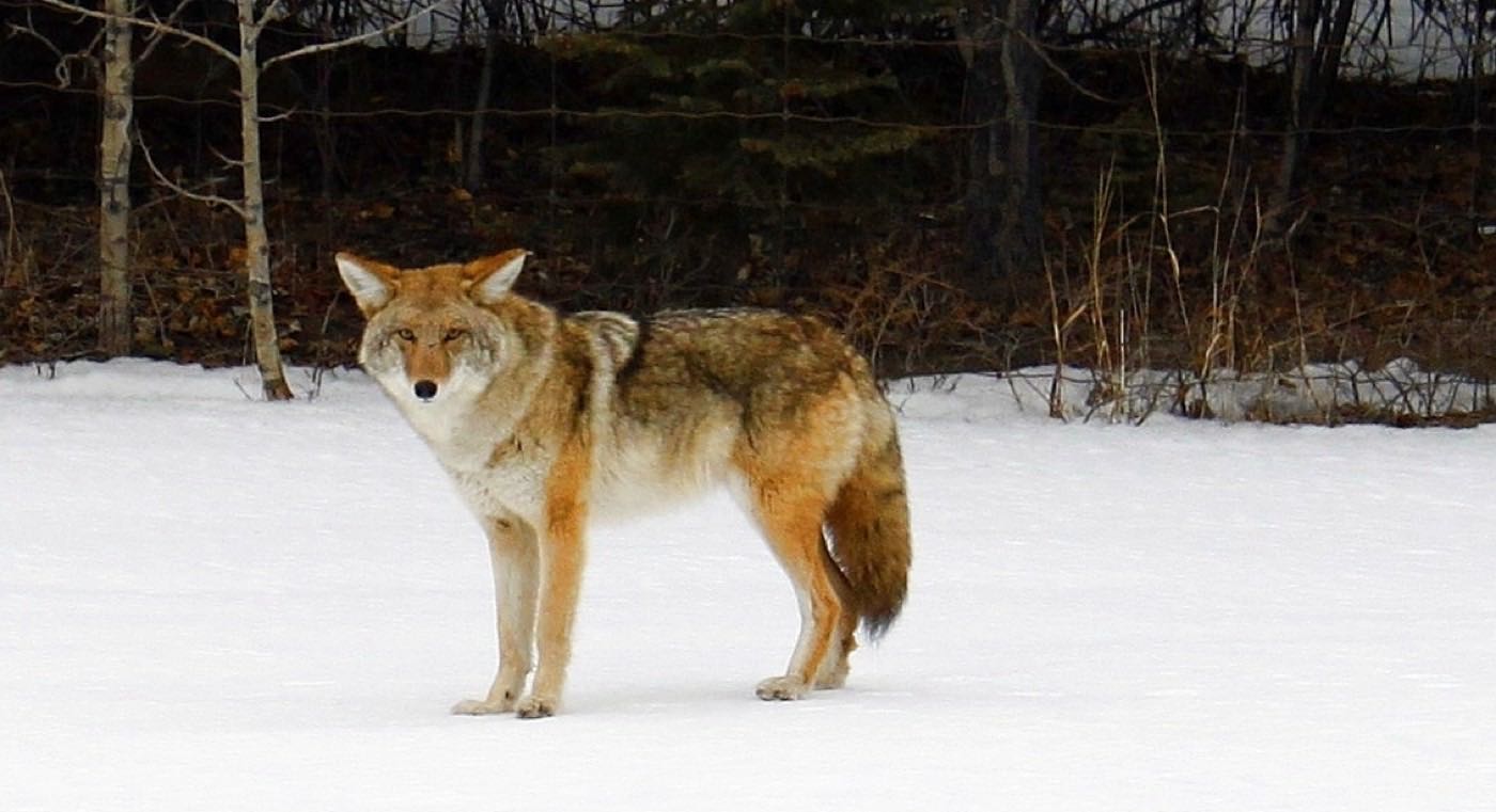
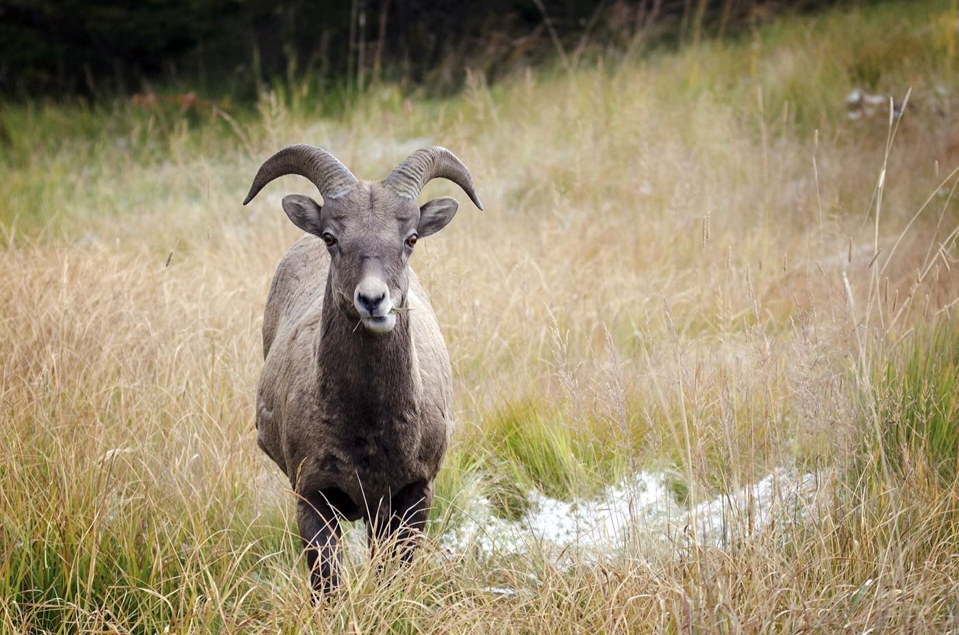
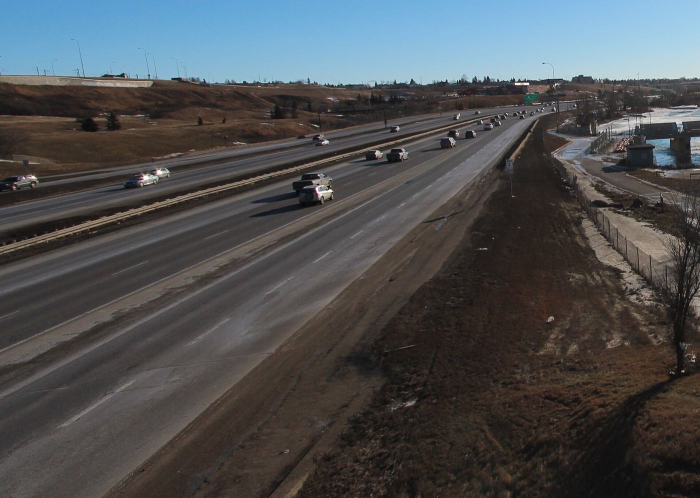
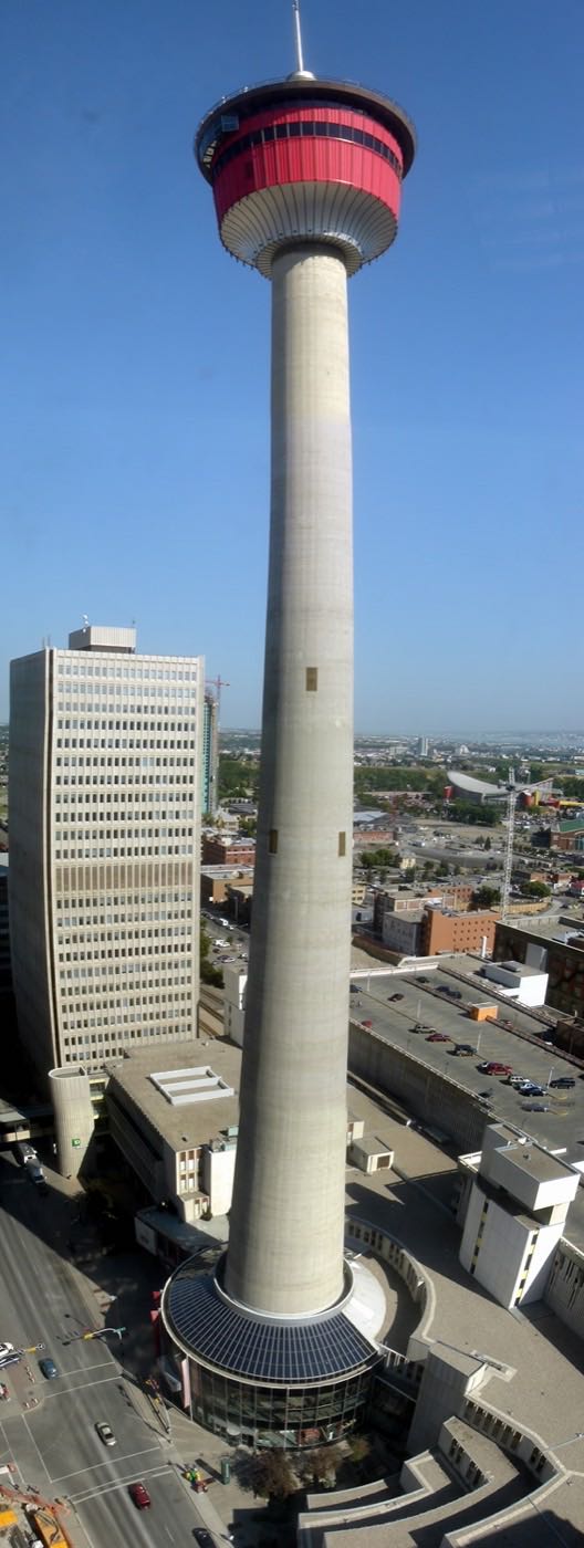
29 more photographs of Calgary and the region
Drawn from the site's shared, freely licensed Calgary photo library, not photographs of Walden itself. Filter by category.
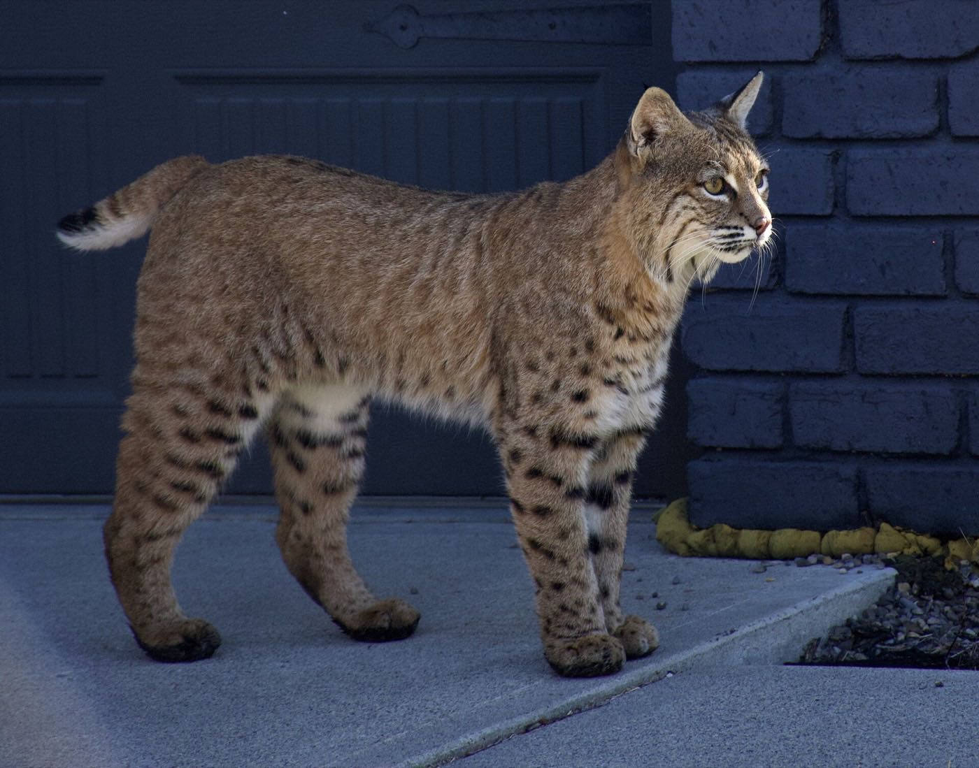
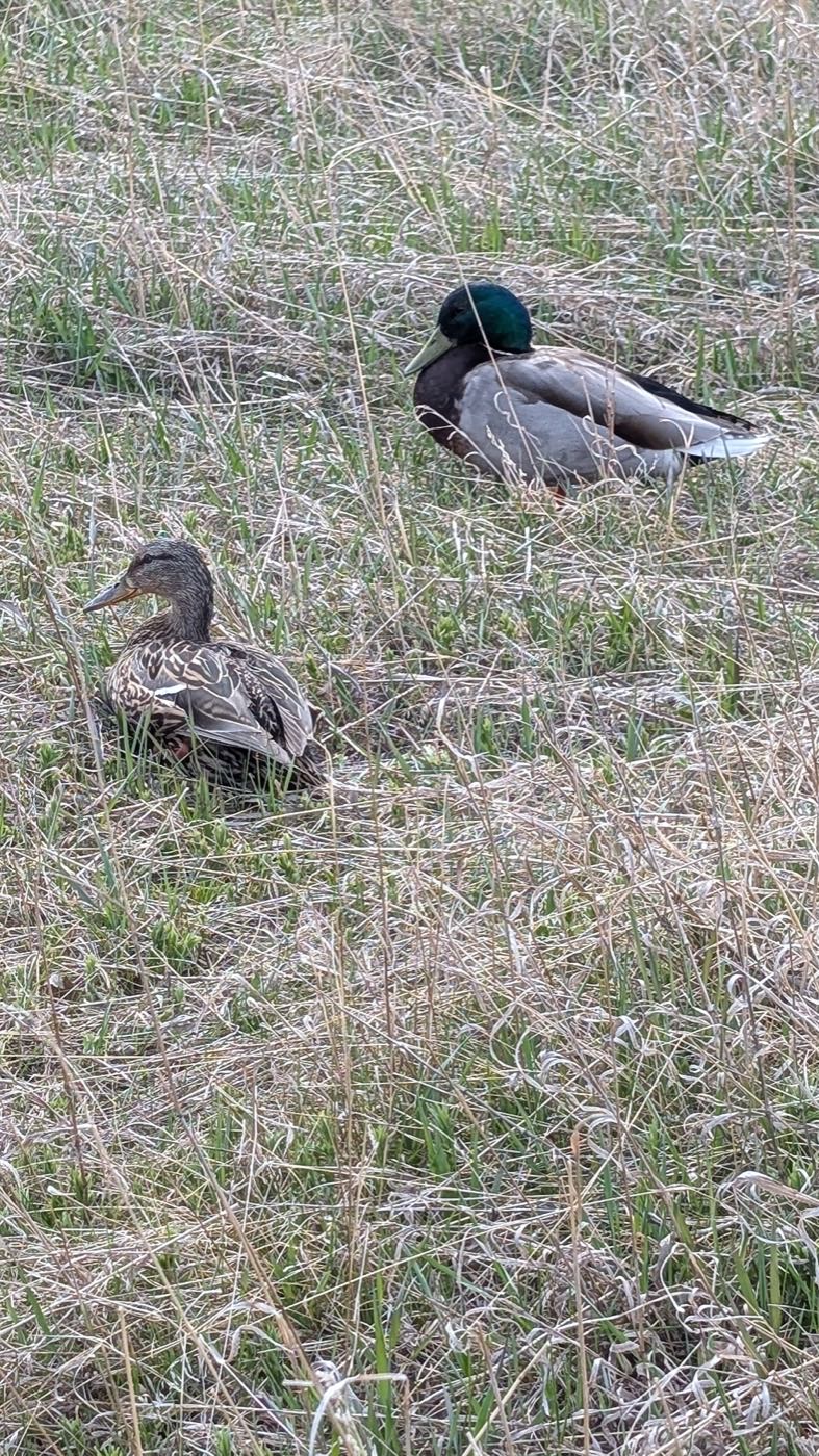


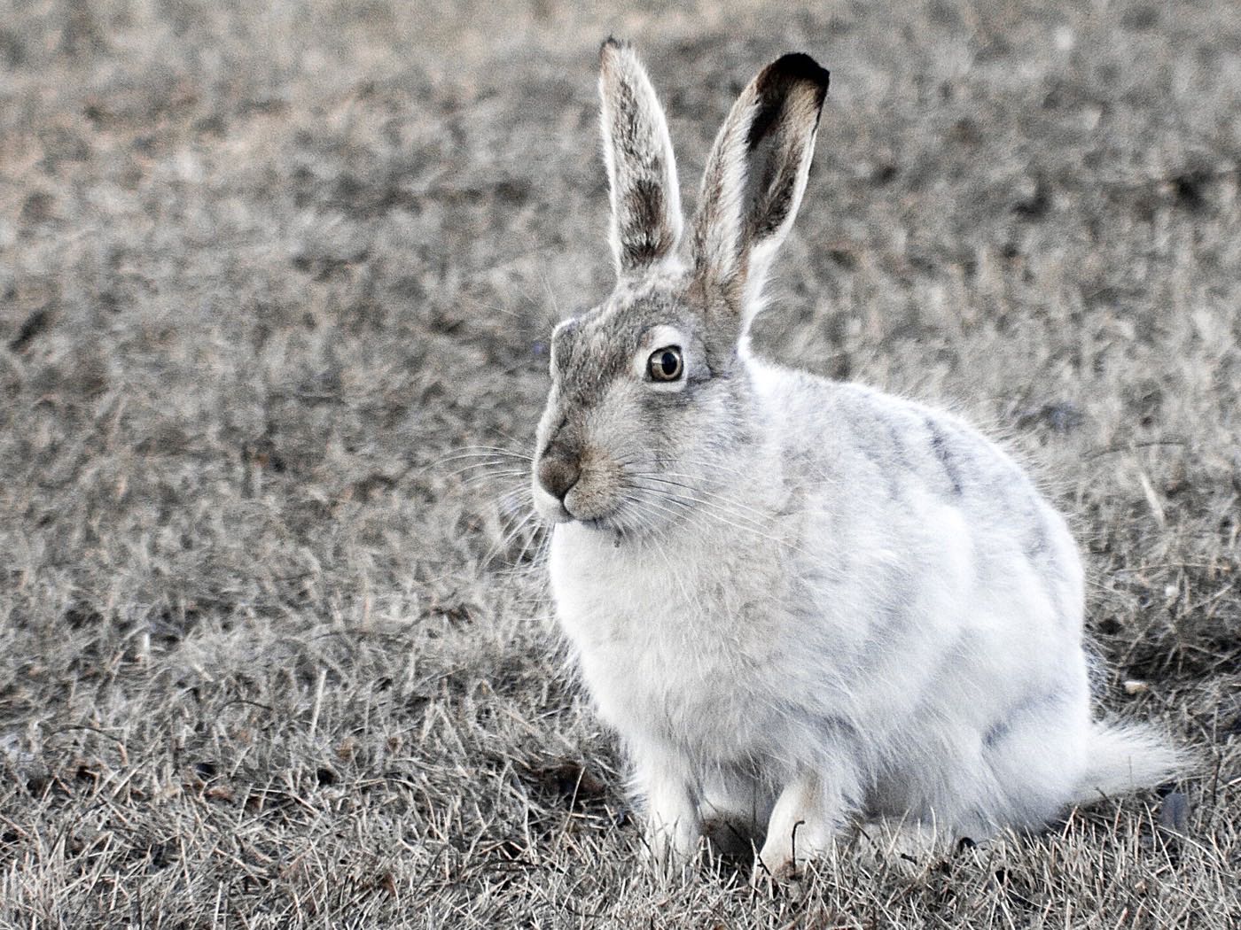


Showing 1–12 of 29 photographs.
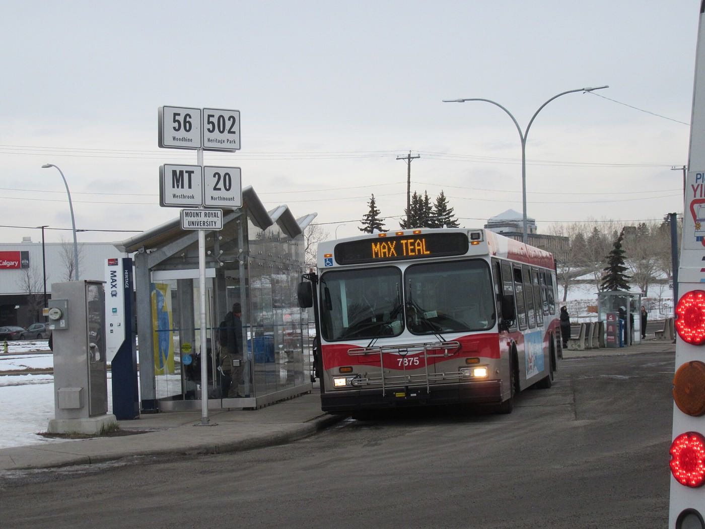
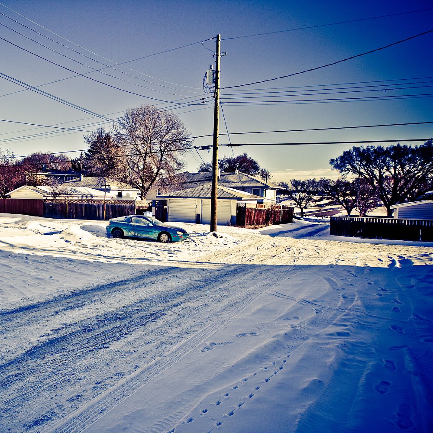
Honesty note. This page uses only the general Calgary, seasonal, Alberta-wildlife and day-trip photography from the site's shared library. Fish Creek and Spruce Meadows images are used sparingly, since both are a short drive rather than inside the community, and the Seton-area photography is excluded entirely because South Health Campus and the YMCA are a genuine drive from Walden, not a neighbour. Nothing here is presented as a photograph of Walden itself.