
Live in Applewood Park
A 1982 southeast community boxed in by Stoney Trail and 17 Avenue SE, with East Hills retail immediately across the ring road.
Applewood Park was established in 1982 on Calgary's eastern edge, immediately south of Abbeydale across the CN rail line. It is a small, dense community: 1.5 km² holding 6,830 residents in about 2,300 private households at the 2021 census, half of them immigrants and 20 per cent of them households of five or more. Wikipedia's own neighbourhood table lists its quadrant as "SE/NE," which sounds like an error but reflects the ground: Stoney Trail's address label switches from NE to SE right at the community's northeast corner. Every street inside the boundaries carries an SE address, and that is the convention this page follows.
A dense, small community boxed in by a ring road and a rail line
Bordered north by the CN Rail line (shared with Abbeydale), east by Stoney Trail, south by 17 Avenue SE, and west by 68 Street SE. Ward 9, and the City's Communities by Ward dataset puts it in the East sector. Wikipedia places the community in the southeast quadrant.
Applewood Park was established in 1982 immediately south of Abbeydale, separated from it only by the CN rail line. At 1.5 km² it is one of the smaller communities on this site, and one of the more densely built: about 2,300 private households packed into that footprint by the 2021 census, at an average of three people each.
The quadrant question. Wikipedia's neighbourhood table lists Applewood Park as "SE/NE," which sounds like an error but reflects the ground: Stoney Trail's address label switches from "NE" to "SE" right at the community's northeast corner, because the quadrant line crosses the road there. Wikipedia's own article on the community places it in the southeast quadrant, the City's Communities by Ward dataset puts it in the East sector, and every street inside the boundaries carries an SE address. Southeast is the convention this page follows.
Housing mix. The 1991 to 2000 decade alone accounts for 47% of the occupied stock, and single-detached houses make up 56% of it, with apartments in buildings under five storeys the next-largest share at 32%. Nothing here is above five storeys. 38% of households rent, above the city average of 31%.
Who lives here. 50% of residents were immigrants at the 2021 count, median household income was $87,000 in 2020 against $98,000 city-wide, and average household size runs three people, larger than the Calgary average of 2.6. One household in five here has five or more people, double the city rate. 27% of households spend 30% or more of income on shelter, against 23% across Calgary.
- Most homes date to the 1990s build-out: original roofs, furnaces and windows are approaching or past design life
- Only one school sits inside the community, and the CBE does not publish its grade range to non-browser clients. Confirm the designation for a specific address before you buy
- Bounded by Stoney Trail and a CN rail line: go and listen at different times of day
- Almost no retail inside the boundaries; East Hills across Stoney Trail carries the everyday shop
- At 38% rental and 32% low-rise apartment stock, this is a more mixed community than it first looks
- Getting west to the mountains means crossing the entire city. Budget close to two hours to Kananaskis
How Applewood Park got here
- 1982Applewood Park is established in Calgary's southeast, Ward 9, immediately south of Abbeydale across the CN rail line.
- 1990sThe bulk of the community goes up in this decade. The 1991 to 2000 period alone accounts for 47 per cent of the occupied dwellings standing in 2021, more than any other decade by a wide margin.
- 2000Wikipedia's figures for the community date from here: a median household income of $65,724, 38.6 per cent of residents immigrants, 14.8 per cent low income, 11.4 per cent of dwellings rented and 1.4 per cent of buildings condominium or apartment.
- 2012The civic census counts 6,498 residents in 2,215 dwellings, a 1.5 per cent increase on 6,404 in 2011.
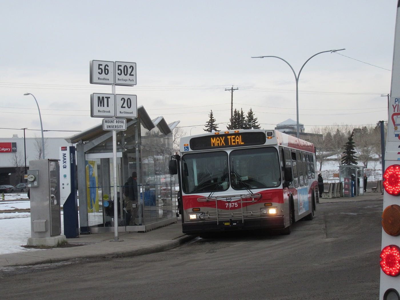
- 2018MAX Purple opens on 19 November, running the 17 Avenue SE transitway from City Centre to East Hills, along the community's southern boundary.
- 2019The City's last civic census counts 6,980 residents in 2,415 dwellings, 2,294 of them occupied and 1,298 owner-occupied.
- 2021The federal census counts 6,830 residents in about 2,300 private households, with 50 per cent of residents immigrants, 38 per cent renter households and a median household income of $87,000 in 2020.
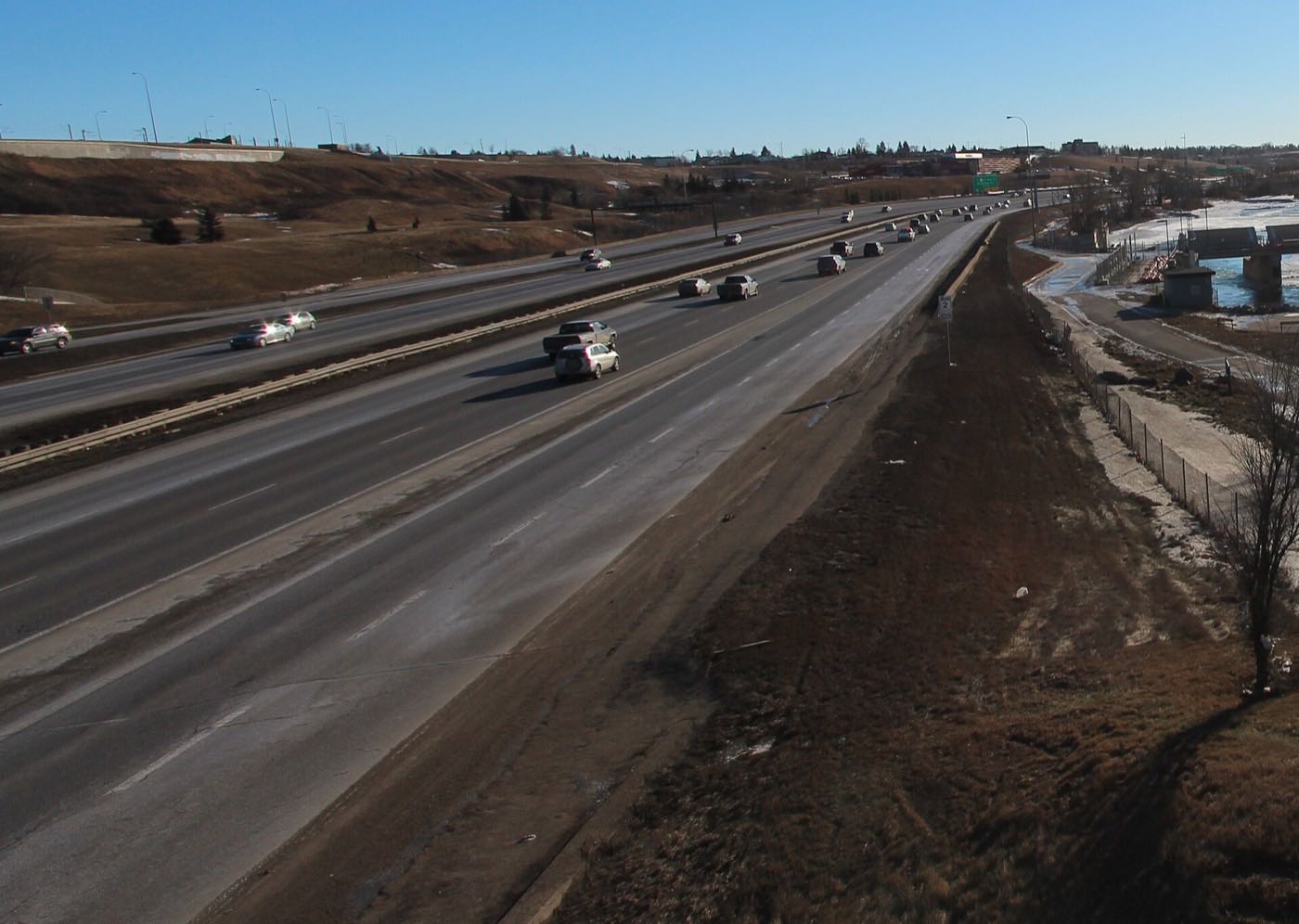
Elliston Park, a rebuilt play park, and East Hills across the ring road
There is no river valley here, so the open space is what the City has built and is now rebuilding: Elliston Park and its lake southwest of the community, which hosted the GlobalFest fireworks from 2003 through 2025 before the festival moved to Spruce Meadows for 2026, and the CN Rail Playpark in the transportation utility corridor along the community's own northern edge.
What the map does not show: Applewood Park's own green space is small: playgrounds, an outdoor rink and a handful of courts. Elliston Park and East Hills are both a few minutes away. The community association's website was a placeholder page in September 2026, so confirm what is actually running before you count on any of it.
Elsewhere in Calgary, not Applewood Park

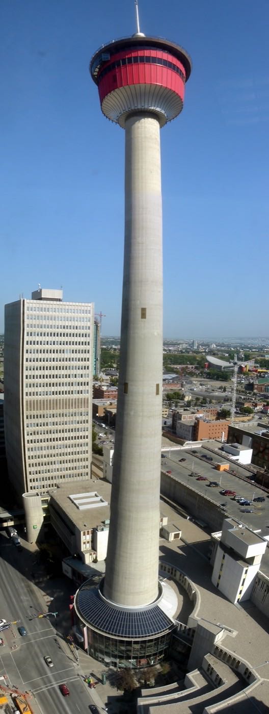
22 places, with real drive times
Road-adjusted distance and drive time from the centre of the community to each destination, nearest first. Filter by category.
Showing 1–12 of 22 places, nearest first.
Method: distances and drive times are estimated from the centre of the community to each destination using Calgary's road grid, and are rounded to honest ranges rather than presented as precise figures. East Hills and Elliston Park are unusually close; downtown, the airport and the mountains are all a genuine haul from this far southeast corner.
Every gym within reach
As with the rest of the far east side, this community is served by large civic facilities north of Memorial Drive rather than a dense cluster of private clubs, with the nearest paid gyms sitting in the East Hills retail district across Stoney Trail.
- Village Square Leisure Centre at 2623 56 Street NE adds a City pool, two arenas and a library branch, north across Memorial Drive
- Genesis Centre is the quadrant's larger hub: gymnasiums, fitness centre, indoor courts and programming
- Bob Bahan Aquatic & Fitness Centre at 4812 14 Avenue SE in Forest Lawn is the closest City pool, ten to fifteen minutes west
- East Hills has private clubs three to six minutes away, the closest paid option to the community
- The community's own rink, courts and the CN Rail Playpark are the free option
| Facility | What it is | Drive |
|---|---|---|
| Village Square Leisure Centre open | City-run pool at 2623 56 Street NE, with two arenas on the same site and a library branch. | 8–12 min |
| Genesis Centre open | The northeast's anchor recreation facility: gymnasiums, fitness centre, indoor courts and community programming. | 11–16 min |
| Bob Bahan Aquatic & Fitness Centre open | City-run pool at 4812 14 Avenue SE in Forest Lawn, listed with weights and cardio. | 5–8 min |
| East Hills fitness clubs open | Private clubs in the East Hills retail district directly across Stoney Trail. The closest paid gyms to the community. | 3–6 min |
| Applewood Park community rink & courts open | Free option: the community's own outdoor rink, basketball and tennis courts, plus the CN Rail Playpark a few minutes further. | 1–3 min |
| Chestermere Recreation Centre open | Arena and recreation facilities in Chestermere. Outside Calgary, so confirm non-resident rates. | 9–14 min |
Check Chestermere carefully. Its recreation centre is a genuine option at eighteen to twenty-four minutes, but it is outside Calgary. Non-resident rates and programme access differ, so confirm the terms before you plan around it.
One school inside the community, and a lot of confirming to do
G.W. Skene School is the one school inside the community. The CBE runs it and gives it its own site, but neither the board nor the school publishes a grade range to non-browser clients, so this guide does not state one. Forest Lawn High School is the public senior high west on 17 Avenue SE. The Catholic side could not be checked at all: the Calgary Catholic School District's site refuses automated clients.
| School | Board | Note |
|---|---|---|
| G.W. Skene School | Calgary Board of Education | Public school inside the community, with its own CBE site. The board does not publish the grade range to non-browser clients, so confirm it and the designation for a specific address. |
| Forest Lawn High School | Calgary Board of Education | Public senior high west on 17 Avenue SE, with its own CBE site. Confirm the designation for a specific address. |
| Junior high designation | Calgary Board of Education | No junior high sits inside Applewood Park. Confirm the current designation for a specific address with the board before you buy. |
| Calgary Catholic School District | Calgary Catholic | Alberta funds Catholic education the same way it funds public education, so there is no tuition for a resident student at either board. The district's own site refuses automated clients, so nothing on the Catholic side here was read from the district: confirm designations directly with it. |
Alberta funds Catholic education the same way it funds public education, so there is no tuition for a resident student at either board. Confirm the current designation and grade range for a specific address with the board before you buy. No junior high sits inside Applewood Park, so older students travel out of the community whichever board you choose.
Month by month, what living here looks like
Not a highlights reel: the actual annual rhythm, including the dates residents have to remember.
- Chinooks reach this far southeast corner late and weak, same as neighbouring Abbeydale
- Stoney Trail and 17 Avenue SE get priority plowing ahead of the community's own residential streets
- The community's outdoor rink at Applewood Park's own playgrounds carries the informal skating season
- MAX Purple keeps running on 17 Avenue SE through most winter weather
- A chinook can clear the rink and East Hills parking lots within an afternoon
- Genesis Centre and Village Square carry the indoor recreation season, both a drive north
- Coldest stretches usually break before month's end
- Longer light noticeable by the last week
- Melt and refreeze on side streets inside the community
- Elliston Park's pathways reopen for the season
- CN Rail Playpark construction, paused over winter, resumes as the ground firms up
- Prairie wind picks up as the snow goes
- The 68 Street multi-use pathway project resumes construction for its second season
- Migratory birds return to Elliston Park's lake
- Playing fields at Prairie Winds dry out, a drive north
- Last hard frosts: planting waits for the long weekend
- Community league and school sport seasons start at G.W. Skene and St. Peter
- Long evenings, sunset past 9pm by month's end
- Hail season begins: the east side of the city gets more than its share
- East Hills patios and parking lots fill on the first warm weekends
- Peak daylight at the solstice, over 16 hours
- School year ends at G.W. Skene and St. Peter
- Thunderstorm season fully under way
- MAX Purple ridership climbs with the longer evenings
- Calgary Stampede, about twenty minutes west
- Evening thunderstorms roll in from the west
- GlobalFest ran at Elliston Park through 2025 and is at Spruce Meadows from 2026
- Hottest month, with little shade in the community's newer blocks
- No more GlobalFest fireworks over Elliston Park: the festival moved to Spruce Meadows in 2026
- Quietest weeks before school returns
- Harvest traffic builds on the rural roads east of Stoney Trail
- Back-to-school shopping picks up at East Hills
- School year restarts at G.W. Skene and St. Peter
- Older students travel out of the community: no junior or senior high sits inside the boundaries
- First frost typically arrives late in the month
- Elliston Park's electrical and irrigation upgrades, begun this month in 2025, continue through the fall
- First snow is normal, and normally melts
- Snow tires go on
- 68 Street pathway construction winds down for the season ahead of the rail-line segment
- Shorter evenings noticeable by mid-month
- Dark by 5pm
- Indoor recreation season restarts at Genesis Centre and Village Square
- East Hills holiday retail season begins
- Construction on the community's active projects pauses for winter
- Zoolights at the Calgary Zoo, a genuine drive northwest
- Holiday quiet across the community
- Chinooks, when they come, arrive late and weak this far east
- MAX Purple and the local Route 87 bus keep running through most weather
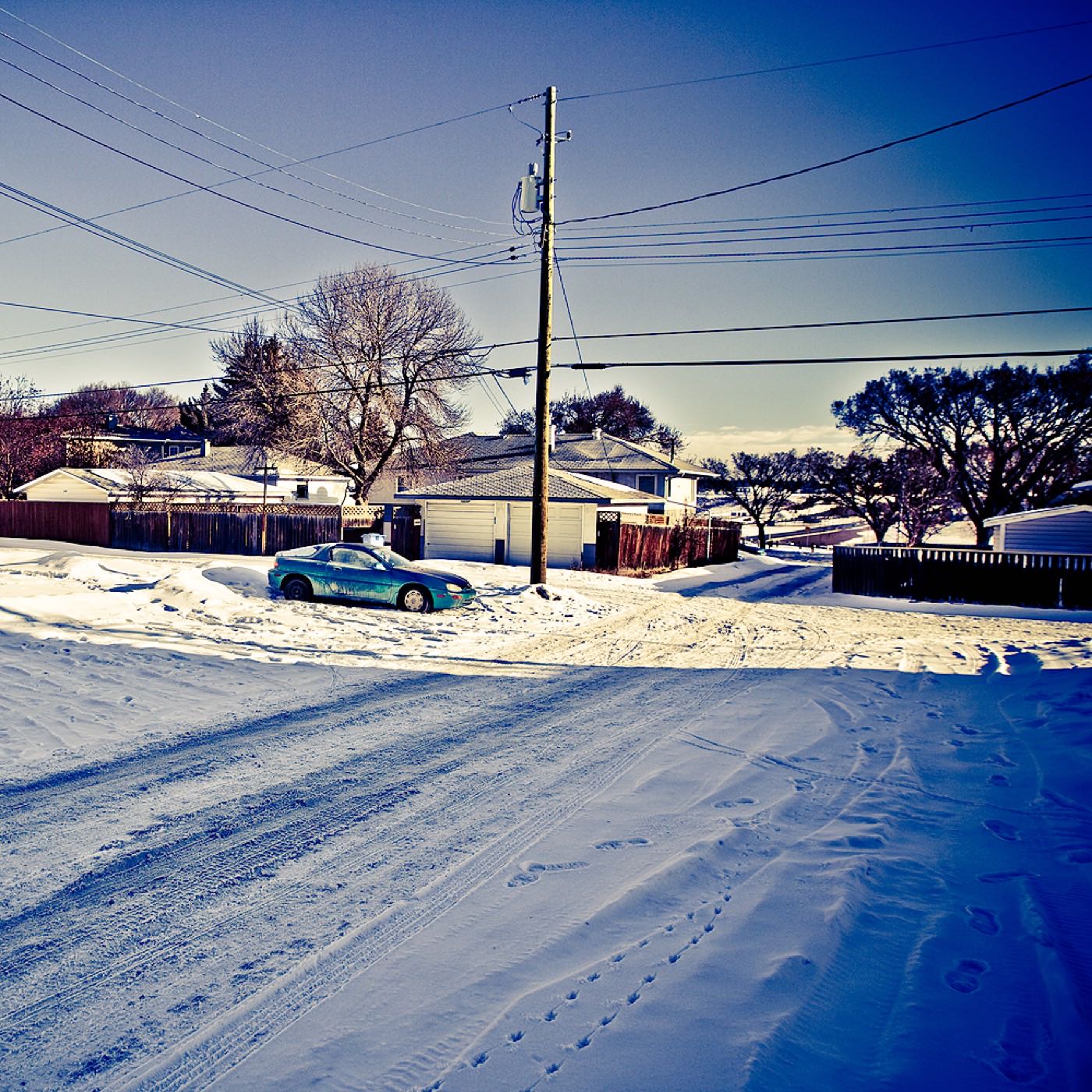
2 more photographs of the community and its surroundings
All freely licensed, via Wikimedia Commons. Filter by category.


Showing 1–2 of 2 photographs.
About these photographs. Openly licensed images geotagged in or near Applewood Park, found on Wikimedia Commons and served from there with full attribution. Inline photos elsewhere on the page may still come from the site's shared Calgary library.