
Live in Foothills
A 7.7 km² City of Calgary employment district in the southeast, not a residential neighbourhood, with no population entry at all in the City's 2021 census dataset.
Foothills is not a residential community. It is the City of Calgary's own name, comm_code FHI, for 7.7 km² of rail-served land in southeast Calgary, and the City's Communities by Ward dataset records its community structure as Employment and its strategic growth class as not applicable. The City's per-community 2021 federal census dataset carries no population entry for it at all. The City's last civic census, in 2019, recorded 317 residents against a single dwelling, which is what an employment district looks like when a residential count is run over it. Its own name causes real confusion: Wikipedia's aggregate neighbourhood table lists this district as "Foothills Industrial" and a separate "South Foothills" in the Southeast sector. Almost nobody lives here, and any page that files it under neighbourhoods is describing an industrial district.
An industrial district, not a neighbourhood, and the City's own data says so
An irregular industrial polygon rather than a clean rectangle, taken from the City's Community District Boundaries geometry: roughly 26 Avenue SE to the north, Peigan Trail to the south, Deerfoot Trail and 24 Street SE to the west, and 36 Street SE to the east. Ward 9, in the City's East sector.
Foothills is not a residential community. It is the City of Calgary's own name (comm_code FHI) for 7.7 km² of rail-served land in southeast Calgary. The City's Communities by Ward dataset records its community structure as Employment and its strategic growth class as not applicable, and the per-community 2021 federal census dataset carries no population entry for it at all, not a low number, an absent one. The last civic census, in 2019, recorded 317 residents against a single dwelling, which is what happens when a residential count runs over an employment district.
The name is genuinely confusing. Wikipedia's aggregate neighbourhood table lists this district as "Foothills Industrial", not "Foothills", and lists a separate "South Foothills" in the Southeast sector as well. That table leaves enough of the Foothills row's cells blank that its population and dwelling figures cannot be read off unambiguously, so every count on this page comes from the City's own datasets instead.
The quadrant question, answered. Wikipedia's neighbourhood table puts Foothills in the Southeast (SE) quadrant, which is what the street addressing in the district says too. The City's own Communities by Ward dataset puts it in Ward 9 and labels its broader planning sector "East", a coarser planning taxonomy distinct from the everyday four-quadrant addressing system. The two are not in conflict, they are answering different questions.
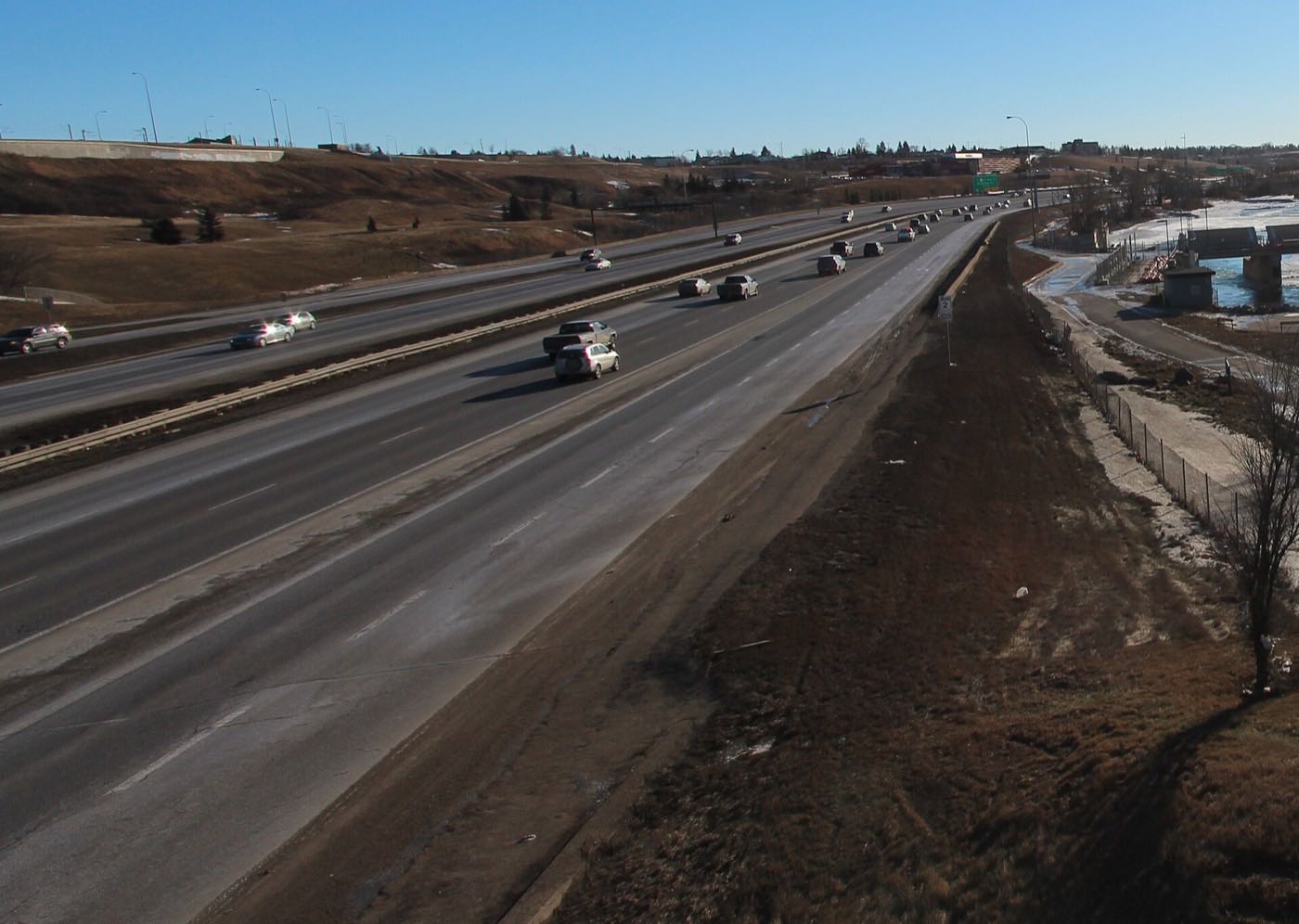
The district sits against the rail corridor near the Ogden Shops yards, between Deerfoot Trail and 36 Street SE. Ogden itself was established in 1912 and named after I.G. Ogden of the Canadian Pacific Railway; its shops were turned into a munitions factory in the Second World War, and CP Rail decided in December 2012 to move its corporate head offices into the century-old yard. The Green Line's southeast segment is under construction along the western edge, with the Blackfoot Trail LRT Bridge in the 26 Avenue S.E. station area and the Ogden Road realignment at the Ogden and Lynnwood/Millican stations. The opening target is 2031.
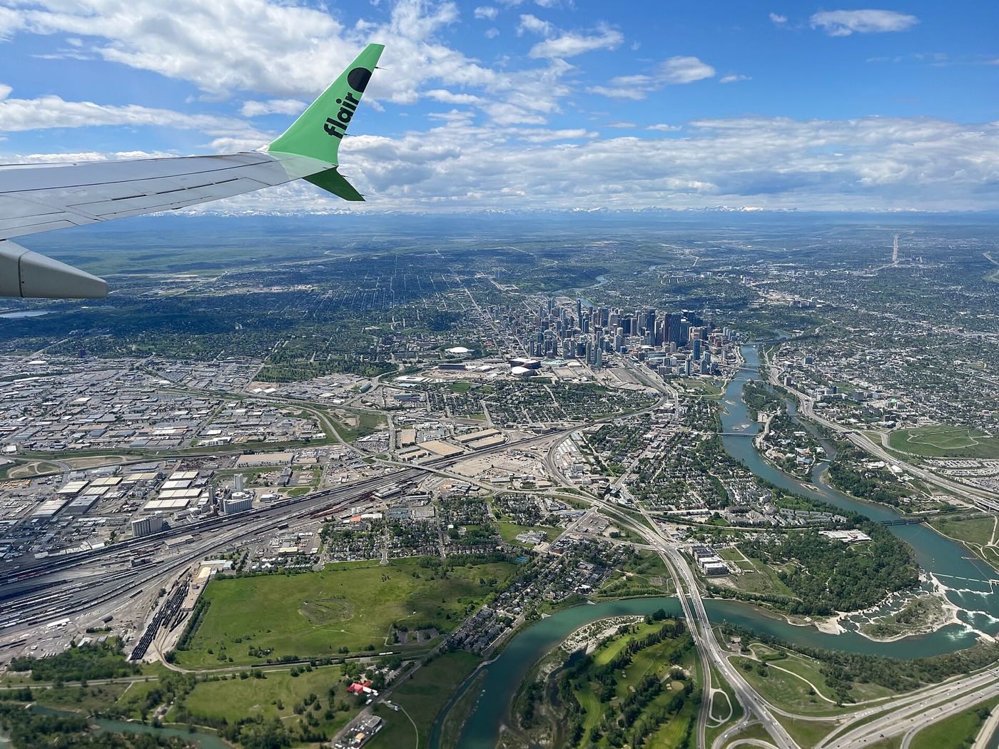
- The City's own 2021 census dataset records no population for Foothills at all; the 2019 civic census counted 317 residents against one dwelling
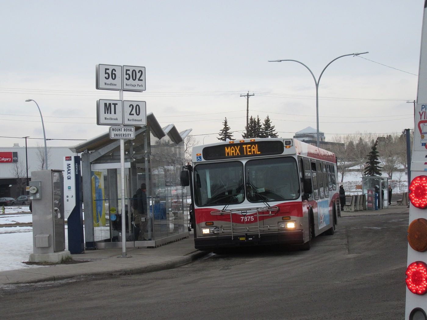
- No school, no grocery store, and no CTrain station currently serve the district
- Do not confuse this with 'South Foothills', a separate industrial district Wikipedia lists in the Southeast sector
- Green Line construction is active along the district's western edge, with an opening target of 2031
- 52 Street SE is Calgary's heavy-haul truck route. Expect trucks, not neighbours
How Foothills got here
- 1912Ogden is established immediately south, named after I.G. Ogden, a vice-president of the Canadian Pacific Railway. Its rail yard anchors the industrial belt Foothills sits within.
- 1940sDuring the Second World War the CPR's Ogden Shops are converted into a munitions factory making heavy naval guns and artillery mountings.
- 2012In December, CP Rail decides to move its corporate head offices to Ogden, inside the century-old rail yard.
- 2019The City's last civic census records 317 residents in Foothills against a single dwelling, one of them occupied and none owner-occupied.
- 2021The City's per-community dataset for the 2021 federal census carries no population entry for Foothills at all. Not a low number, an absent one.
- 2031The Green Line's opening target. Phase 1's southeast segment, 16 km and 10 stations from Shepard to Event Centre/Grand Central, is under construction along the district's western edge, including the Blackfoot Trail LRT Bridge in the 26 Avenue S.E. station area and the Ogden Road realignment at the Ogden and Lynnwood/Millican stations.
No park inside the district: the nearest is a drive north
Foothills has no park, pathway or green space of its own. Elliston Park, 415 hectares around a 20-hectare storm water pond at 1827 68 Street SE, and the Bow River pathway system through Pearce Estate Park and the Inglewood Bird Sanctuary are the nearest, each a several-minute drive north across the rail corridor. Elliston's fireworks festival, GlobalFest, ran there from 2003 through 2025 and moved to Spruce Meadows in 2026.
What the map does not show: there is essentially no resident to have an angle: this section exists because the site's template requires it, not because it describes daily life here.
Elsewhere in Calgary, not Foothills

10 places, with real drive times
Road-adjusted distance and drive time from the centre of the community to each destination, nearest first. Filter by category.
Showing 1–10 of 10 places, nearest first.
Method: distances and drive times are estimated from the centre of the community to each destination using Calgary's road grid, and are rounded to honest ranges rather than presented as precise figures. The list above describes what is nearest to the district for a worker or visitor, not a residential amenities guide, almost no one lives here to use it.
Every gym within reach
There is no gym, pool or fitness facility inside the district. The nearest options are in Forest Lawn, a several-minute drive north across the rail corridor.
- City-run pool, dive tank, hot tub, steam room, weights and cardio and a fitness studio, outside the district itself
- Planet Fitness on 17 Avenue SE is the nearest commercial option
- The Bow River pathway via Pearce Estate Park is the nearest free option, also outside the district
- Nothing on this list is inside Foothills. All of it requires leaving the district
| Facility | What it is | Drive |
|---|---|---|
| Bob Bahan Aquatic & Fitness Centre open | City-run pool, dive tank, hot tub, steam room, weight room and fitness studio at 4812 14 Ave. S.E. in Forest Lawn. | 10–15 min |
| Planet Fitness Forest Lawn open | Commercial gym on 17 Avenue SE. | 9–14 min |
| Bow River pathway via Pearce Estate Park open | Free option: the nearest paved pathway, a drive rather than a walk from the district. | 8–11 min |
None of this is local. Every option here is a drive out of the district, which is consistent with an area that has essentially no one living in it to walk to one.
No school, and no school-age population to speak of
Foothills has no school inside it, and the City's own 2021 census dataset records no resident population at all. Banting & Best Elementary in neighbouring Ogden is the nearest school Wikipedia names for that community, alongside Sherwood Community school and St. Bernadette Elementary on the Catholic side.
| School | Board | Note |
|---|---|---|
| Banting & Best Elementary | Calgary Board of Education | Foothills has essentially no resident population and no school of its own. Banting & Best Elementary in neighbouring Ogden is the nearest school Wikipedia names for that community. |
Alberta funds Catholic education the same way it funds public education, so there is no tuition for a resident student at either board: a fact that matters elsewhere on this site far more than it does here. Confirm the designation for a specific address if you have one, though almost no addresses in this district are residential.
Month by month, what living here looks like
Not a highlights reel: the actual annual rhythm, including the dates residents have to remember.
- 52 Street SE, the city's heavy-haul route, gets priority plowing ahead of every residential street nearby
- Idling trucks queue at the CPKC yard gates in the cold, exhaust hanging low over the flat lots
- Frost heaves the yard asphalt on the older sites first, ahead of the newer paved lots
- Shift-change traffic at the rail yards peaks in full darkness at both ends of the day
- A chinook can clear 52 Street's snowbanks and open the truck lots within an afternoon
- The Ogden Road realignment work for the Green Line sits frozen mid-project through the cold snap
- Rail cars sit iced over in the CPKC yard on the coldest mornings
- The district's flat rooflines carry heavy snow load until the next thaw
- Meltwater pools on the flat industrial lots faster than the storm drains can take it
- Peigan Trail's truck traffic backs up hardest during the freeze-thaw pothole season
- The Blackfoot Trail LRT Bridge piers sit exposed as the last snow clears off the site
- Coyotes move through the rail yard's scrub edges before the spring grass returns
- Green Line construction crews resume full daytime hours along the district's western edge
- Magpies nest in the scrub trees along the CPKC right-of-way
- The district's drainage ponds fill with runoff from the surrounding paved lots
- Ogden Road's realignment work restarts once the ground firms up
- Weeds green up fast along the fence lines between the district's paved yards
- Truck traffic on Deerfoot Trail's shoulder lanes builds with the spring construction season
- Long evening light stretches shift-change traffic well past six
- The Bow River pathway system north of the district reopens fully for the season
- Rail yard operations run at full summer tempo through the long daylight
- Green Line piling and road-reconfiguration work continues on 114 Avenue and Barlow Trail
- Heat off the paved lots is noticeably worse than in the parks to the north
- Solstice light keeps the yards lit well past nine in the evening
- Stampede-week freight schedules shift around the parade route northwest of the district
- Heat shimmer rises off the flat gravel and asphalt lots by mid-afternoon
- GlobalFest's fireworks ran at Elliston Park from 2003 through 2025 and moved to Spruce Meadows in 2026, so the July skyline here is just the yard lights again
- Deerfoot Trail's truck lanes see their heaviest volume of the year
- Elliston Park, eight kilometres north, is the nearest public open space; its fireworks festival left for Spruce Meadows in 2026
- Wildfire smoke settles low over the flat lots on windless days
- Green Line procurement work for stations and elevated sections continues through the summer
- Rail yard maintenance crews use the dry stretch for track and grade work
- Shift-change traffic thickens on Peigan Trail as the morning commute overlaps with truck movements
- Frost reaches the district's low-lying yards before it reaches the residential streets nearby
- Green Line road-reconfiguration crews push to close out summer-phase work
- Migrating geese cross low over the rail yards heading for the Bow River
- The first hard frost locks up standing water on the district's flat lots
- Snow tires go on the yard trucks before the first real snowfall sticks
- Ogden Road's realignment work winds down for the season ahead of winter
- Daylight shortens fast enough that shift-change traffic runs in the dark both ways
- Dark settles over the rail yards well before the five o'clock shift change
- The CPKC yard's floodlights are the brightest thing in the district by late afternoon
- 52 Street's truck lanes get the season's first real ice
- Green Line construction sites sit fenced and quiet through the season's first snow
- A chinook can turn a −20 morning on the rail yard's open lots into a +5 afternoon
- Idling trucks queue at the gates through the shortest, darkest days of the year
- The district's flat rooflines carry their heaviest snow load of the year
- Rail traffic slows but does not stop through the holiday break
4 more photographs of the community and its surroundings
All freely licensed, via Wikimedia Commons. Filter by category.


Showing 1–4 of 4 photographs.
About these photographs. Openly licensed images geotagged in or near Foothills, found on Wikimedia Commons and served from there with full attribution. Inline photos elsewhere on the page may still come from the site's shared Calgary library.