
Live in Ramsay
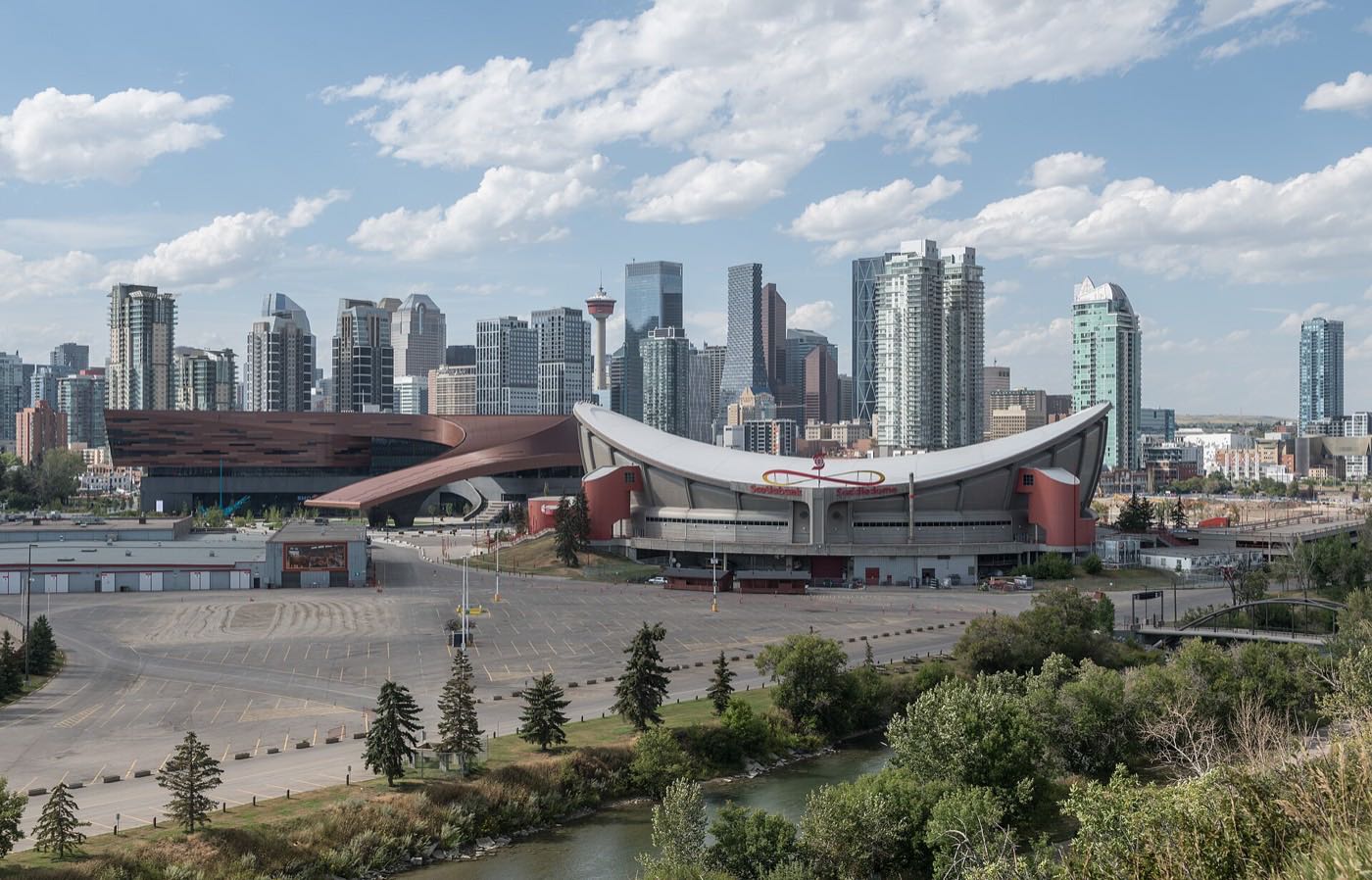
A dense 1914 inner-city community on the Bow-Elbow confluence, with Scotsman's Hill's view of the Stampede grounds as its defining feature.
Ramsay was developed in the 1880s by Wesley Fletcher Orr and his partners, established in 1914, and took its current name in 1956 when the residents of Burnsland, Brewery Flats, Grandview and Mills Estate consolidated as one community, named for the early property developer William Thomson Ramsay. At the 2021 census it held 2,155 residents in 995 private households on 0.9 km², 45 per cent of them renting, and 64 per cent of its occupied dwellings were built in 1960 or before. The Elbow River is its western edge against the Stampede grounds and CPR track runs along the north and east. Scotsman Hill, on the western ridge, got its name because it was where Calgarians watched the Stampede without paying.
A 1914 community between the Elbow River and the rail corridor
The Federation of Calgary Communities gives the association's area as the CPR mainline on the north, CPR tracks on the east, the CNR tracks and 26 Avenue on the south, and the Elbow River on the west. Wikipedia is looser: east of the Elbow River, Macleod Trail, the Stampede grounds and the Scotiabank Saddledome, and south of Inglewood. Ward 9, in the City's Centre sector.
Ramsay was developed in the 1880s by Wesley Fletcher Orr and his partners and established in 1914. It took its current name in 1956, when the residents of Burnsland, Brewery Flats, Grandview and Mills Estate consolidated as one community and named it after William Thomson Ramsay, an early property developer. The community association registered as a provincial society that March. At the 2021 census Ramsay held 2,155 residents in 995 private households across 0.9 km², with 45% of households renting. A genuinely mixed inner-city community, not a gentrified enclave.
The two edges. The Elbow River runs the western edge against the Stampede grounds and the Saddledome; CPR track runs the north and east, and the CNR tracks and 26 Avenue close the south. On the western ridge sits Scotsman's Hill, a free public viewpoint over the Stampede grounds, the Saddledome and the downtown skyline. The Federation of Calgary Communities is blunt about where the name came from: it was where Calgarians watched the Stampede without paying.
The old housing. 64% of the occupied dwellings here were built in 1960 or before, the highest share of any period by a distance, and only 7% since 2011. The mix is unusual for Calgary: 55% single-detached, but 20% apartments or flats in a duplex, five times the citywide share, and nothing at all above five storeys.
The tension. The 2013 Alberta floods ran the Bow and the Elbow from 19 June to 12 July and cost over CA$5 billion, the costliest disaster in Canadian history until Fort McMurray in 2016. Twenty-six Calgary neighbourhoods were evacuated and 75,000 people with them. Ramsay is not on that list, though the Elbow is its western boundary, and the escarpment streets that give it its views also carry the runoff. The rail corridor on two sides is a working one, not a historical curiosity.

- The 2013 floods evacuated 26 Calgary neighbourhoods; Ramsay was not one of them, but the Elbow is still its western boundary. Check flood mapping for a specific address before you buy
- Working CPR track runs the north and east boundaries and CNR track the south, with real freight noise on some streets
- Stampede week brings crowds to Scotsman's Hill, which is what the hill has been for since it got its name
- 45% of households rent, keeping turnover higher than in the fully owner-occupied inner-city communities nearby
- 64% of occupied dwellings were built in 1960 or before, on steep escarpment lots. Confirm foundation and drainage condition specifically
How Ramsay got here
- 1880sThe land is developed by Wesley Fletcher Orr and his partners.
- 1914The community is established.
- 1956The residents of Burnsland, Brewery Flats, Grandview and Mills Estate consolidate as one community and take the name Ramsay, after the early property developer William Thomson Ramsay. The community association registers as a provincial society on 21 March of the same year.
- 1981Erlton/Stampede station opens on 25 May at 2408 3A Street S.E., a Red Line stop across the Elbow with no parking of its own. It was called Erlton until 1995.
- 1983The Lindsay Park sports centre opens on Macleod Trail. It becomes Talisman Centre, then Repsol Sport Centre, and is now MNP Community & Sport Centre.
- 2013The Alberta floods run from 19 June to 12 July, over CA$5 billion in damage and $1.7 billion insured, the costliest disaster in Canadian history until the 2016 Fort McMurray wildfire. Twenty-six Calgary neighbourhoods and 75,000 people were evacuated. Ramsay is not on that list, though the Elbow forms its western edge.
- 2031The Green Line's southeast project is due to open: 16 km of track and ten stations from Shepard to Event Centre/Grand Central, one of them Ramsay/Inglewood.
A viewpoint, not a park system
Scotsman's Hill is a free public viewpoint on Ramsay's western ridge, looking over the Stampede grounds, the Saddledome and the downtown skyline. Below it the Elbow River runs the community's western boundary and joins the Bow a short way north, feeding the regional pathway network. The association's own building, the Rink & Skate Shack, and its outdoor rink are the community's other open-air fixture.
What the map does not show: the hill is genuinely free and genuinely busy during Stampede: expect to share your own street with visitors for ten days each July.
Elsewhere in Calgary, not Ramsay
12 places, with real drive times
Road-adjusted distance and drive time from the centre of the community to each destination, nearest first. Filter by category.
Showing 1–12 of 12 places, nearest first.
Method: distances and drive times are estimated from the centre of the community to each destination using Calgary's road grid, and are rounded to honest ranges rather than presented as precise figures. Ramsay's downtown commute is among the shortest on this site.
Every gym within reach
MNP Community & Sport Centre anchors the area from just across the Elbow, with the escarpment and river pathways as the free option immediately at hand.
- A 50 m pool, diving towers, an indoor track, a climbing wall, a fitness floor and courts
- It is a non-profit, not a City facility, open since 1983 and called Talisman Centre and then Repsol Sport Centre before 2022
- Victoria Park and Inglewood have commercial and independent studios, but this audit opened no publisher listing them: treat their hours as unverified
- Scotsman's Hill and the river pathways are the free option, on the community's own ridge
| Facility | What it is | Drive |
|---|---|---|
| MNP Community & Sport Centre open | 2225 Macleod Trail S.E.: a 50 m pool, diving towers, an indoor track, a climbing wall, a large fitness floor and courts, run by a non-profit rather than the City. | 4–7 min |
| Scotsman's Hill & the Bow-Elbow pathways open | Free option: the escarpment and the river pathway network below it. | 1–2 min |
| Inglewood strip studios open | Independent gyms and studios across the river in Inglewood. This audit opened no publisher listing them, so treat the count and the hours as unverified. | 3–5 min |
| Victoria Park district clubs open | Commercial gyms around the Stampede grounds. This audit opened no publisher listing them, so treat the count and the hours as unverified. | 3–5 min |
The free option is the one with the view. The escarpment stairs are a genuine daily workout.
One CBE school inside, plus a Catholic and an independent one
Ramsay School carries kindergarten to grade 6 inside the community; its own site gives the grade range and nothing else. Wikipedia names École Ste. Anne Elementary as the Catholic school here and Janus Academy, an independent school specialising in support for students on the autism spectrum. Nothing this audit opened supports the K-12 span or the 1916 founding this guide used to claim for the Catholic school.
| School | Board | Note |
|---|---|---|
| Ramsay School | Calgary Board of Education | Public kindergarten to grade 6 inside the community. Its own site gives the grade range and no address or attendance area. |
| École Ste. Anne Elementary | Calgary Catholic School District | Wikipedia names it as the Catholic school serving Ramsay. The district's site refuses automated clients, so nothing here was read from the district itself, and this audit could not confirm a grade range or a founding date. |
| Janus Academy | Independent | A private school in the community specialising in support for students on the autism spectrum, named by Wikipedia. |
| Designated junior and senior high | Calgary Board of Education | No publisher opened for this audit prints an attendance area for grades 7 to 12 here. Confirm the current designation for a specific address with the board. |
Alberta funds Catholic education the same way it funds public education, so there is no tuition for a resident student at either board. Confirm the designation for a specific address before you buy. No publisher opened here prints an attendance area for grades 7 to 12, and the Calgary Catholic School District's site refuses automated clients.
Month by month, what living here looks like
Not a highlights reel: the actual annual rhythm, including the dates residents have to remember.
- Scotsman's Hill, the free Stampede viewpoint, sits empty and wind-scoured in the cold
- The CPR tracks on the community's north and east edges carry further across the valley on the stillest nights
- The escarpment streets down toward Spiller Road ice over first
- The 50 m pool at MNP Community & Sport Centre, 2225 Macleod Trail S.E., is the warmest public water nearby
- A chinook can strip Scotsman's Hill bare of snow in an afternoon
- The Bow and Elbow both run low and slushy at their confluence
- Green Line work toward the Ramsay/Inglewood station picks up on the milder days
- MNP Community & Sport Centre's pool and diving towers run their busiest weeks
- Meltwater off the escarpment runs straight down Salisbury Street SE toward the river
- Spring flood watch begins on the Elbow, a standing feature of the calendar since the 2013 floods
- Cleats are the right footwear on Scotsman's Hill's steeper paths
- The Rink & Skate Shack, the community association's own building, winds down its skating season
- The Elbow runs high with mountain melt, and residents watch the gauge readings
- Stampede Park's grounds crews start prepping the infield
- Last hard frosts: planting waits for the long weekend
- Scotsman's Hill's view opens up again once the cottonwoods below are still bare
- The Bow and Elbow confluence runs fast and cold with snowmelt
- Long evenings on Scotsman's Hill become a genuine after-work habit
- Paddlers reappear on the Bow's calmer stretches below the hill
- Green Line survey crews are a regular sight along 12 Street SE
- School lets out and the Bow pathway below the escarpment gets its first real crowds
- Peak daylight at the solstice runs past 9pm from Scotsman's Hill
- Stampede Park's grounds crews finish setup for the coming ten days
- Evening thunderstorms over the foothills are visible from the top of Scotsman's Hill
- Stampede fireworks draw the year's biggest crowds to Scotsman's Hill, which got its name from exactly this: watching without paying
- Street parking effectively belongs to Stampede visitors for the week
- Hottest month, with the river valley noticeably cooler after dark
- Freight runs heavily on the CPR tracks that form the north and east boundaries
- Scotsman's Hill quiets down once the Stampede lights come down
- Folk Festival crowds pass through on their way to Prince's Island
- Quietest weeks before school returns
- Low water on the Elbow exposes the gravel bars below the escarpment
- School year restarts at Ramsay School and École Ste. Anne, and morning traffic thickens on the escarpment streets
- First frost typically arrives late in the month
- Escarpment colour begins along Scotsman's Hill's slopes
- Green Line construction activity ramps back up after the Stampede pause
- Peak colour frames the skyline view from Scotsman's Hill
- First snow is normal on the exposed hill, and normally melts fast
- Snow tires go on before the escarpment streets ice over
- The rail corridor's lighting comes on earlier as the days shorten
- Scotsman's Hill's wind chill runs noticeably colder than the valley floor below
- Dark by 5pm, and the hill empties out for the season
- The community association's rink opens once the freeze holds, beside the Rink & Skate Shack
- Freeze sets in on the escarpment paths first
- A chinook arch over downtown is best seen from Scotsman's Hill's own viewpoint
- The association's outdoor skating rink is the community's own winter fixture
- The Bow and Elbow both run low and iced over at their confluence
- Quiet, short days between the holidays, with Stampede Park empty and dark
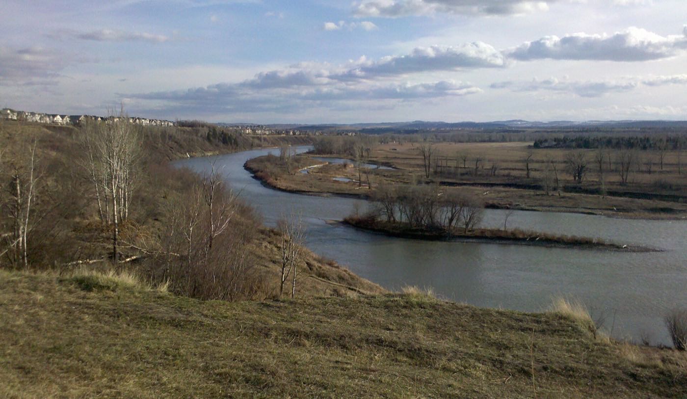
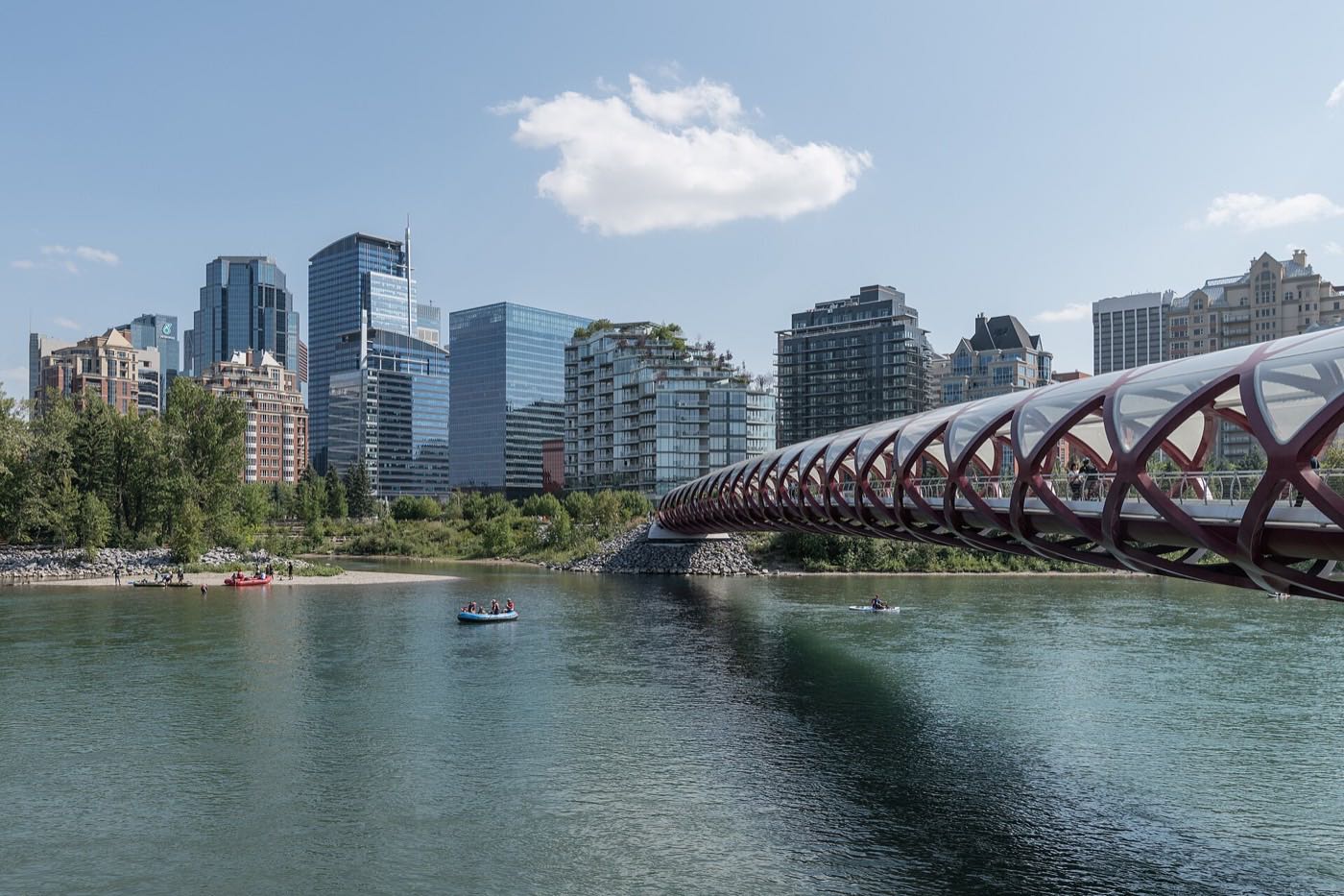
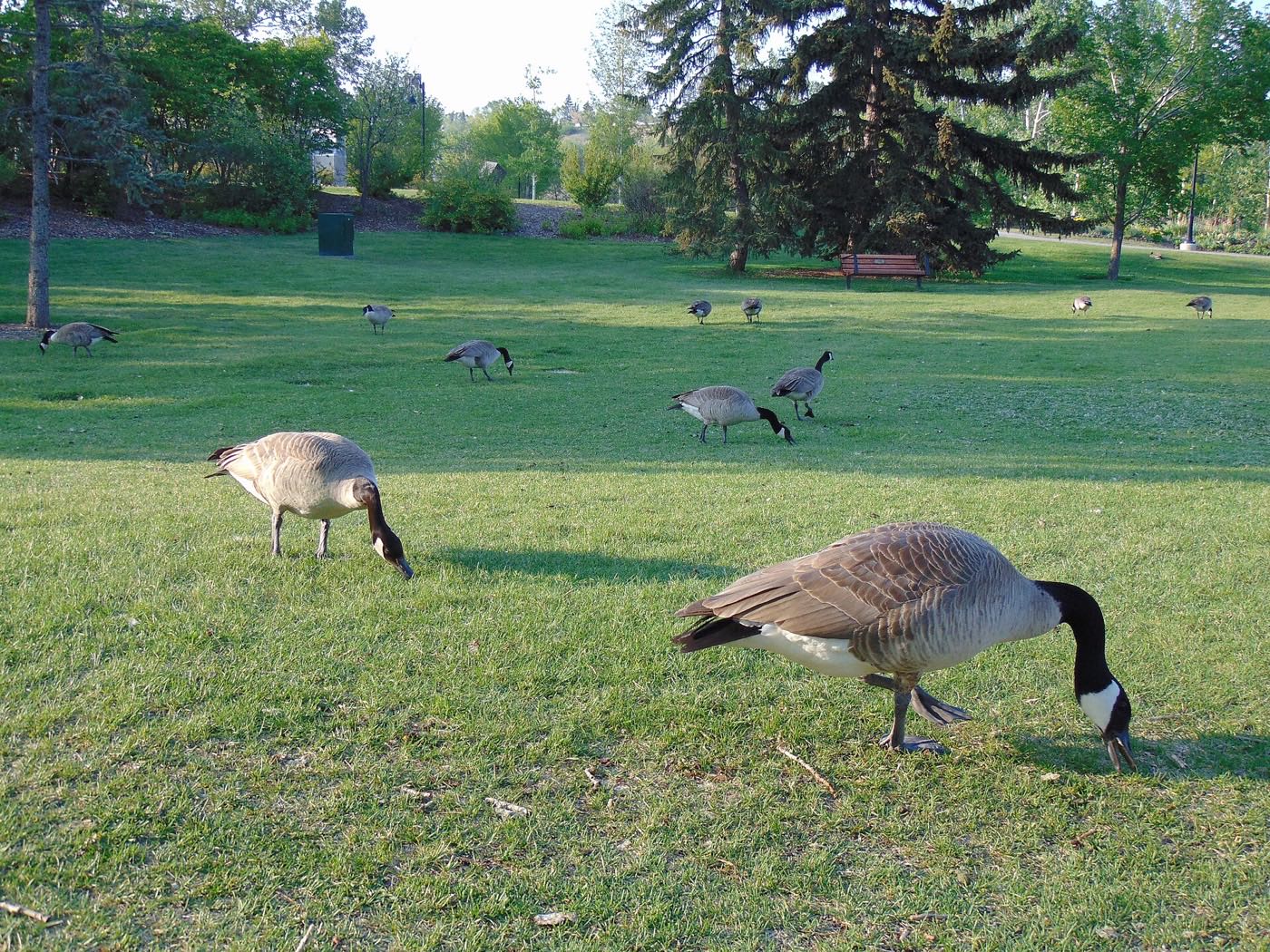
4 more photographs of the community and its surroundings
All freely licensed, via Wikimedia Commons. Filter by category.


Showing 1–4 of 4 photographs.
About these photographs. Openly licensed images geotagged in or near Ramsay, found on Wikimedia Commons and served from there with full attribution. Inline photos elsewhere on the page may still come from the site's shared Calgary library.