Live in Chaparral
A 32-acre private lake, a park the association calls 22 acres, and the Bow River valley as your back fence.
Chaparral was established in 1995 at the far south edge of Calgary and named, improbably, after the Mediterranean scrub biome. It is really three places under one name (Lake Chaparral, Chaparral Valley and Chaparral Ridge) organised around a 32-acre artificial lake, with the Bow River valley falling away to the east. At the 2021 census: 12,500 residents in 4,170 private households on 5.4 km², 91% of them owners and a median household income of $134,000 against the city's $98,000.
Three communities under one name
Bounded north by Stoney Trail, west by Macleod Trail, south by 194 Avenue SE, and east by the Bow River valley. Ward 14, in the City's South sector.
Chaparral was established in 1995 at what was then the very bottom of Calgary, and named, with no obvious justification in a place that spends four months under snow, after the Mediterranean chaparral biome. It is really three districts: Lake Chaparral around the water, and Chaparral Valley and Chaparral Ridge stepping down toward the Bow.
The lake district is the original and the reason the community exists: 32 acres of artificial water with a park around it. The two publishers disagree on the park: Wikipedia calls it 21 acres with two waterfalls, the residents association calls it 22 acres and mentions no waterfalls at all.
Housing mix. Overwhelmingly owner-occupied: 91% of the 4,170 private households own, against 69% citywide, and only 9% rent. A third of the occupied stock was built between 1991 and 2000 and half between 2001 and 2010. Median household income was $134,000 in 2020 against the city's $98,000.
Transit and roads. There is no CTrain station in the community; the Red Line's Somerset-Bridlewood terminus, its southern end since 2004, is 7 to 10 minutes west with 913 park and ride stalls. Stoney Trail runs along the northern boundary and Macleod Trail along the western, and the community's reference point sits at 1,043 m.
- Lake Chaparral homes are 1990s stock; Chaparral Valley and Ridge are 2000s and newer
- The association restricts membership to residents of Lake Chaparral, and registers the annual fee as a legal encumbrance on the land title. Confirm which district an address is in
- Poly-B plumbing was still being installed in Alberta into the mid-1990s: check and ask your insurer
- The commute is the trade-off: there is no station in the community, and the nearest is the Red Line's southern terminus
- Bow escarpment lots command a premium: confirm slope stability and drainage on the east edge
How Chaparral got here
- 1994The Lake Chaparral Residents Association is established, a year before the community.
- 1995Chaparral is established at Calgary's far southern edge, named after the Mediterranean chaparral biome.
- 2004Centennial High School opens at 55 Sun Valley Boulevard SE in Sundance, serving Chaparral and nine other deep-south communities.
- 2016South Health Campus is fully operational at 4448 Front Street SE: 642 beds and a 24-hour emergency department, east via Stoney Trail.
- 2021The census counts 12,500 residents in 4,170 private households. 91% of households own, 21% of residents are under 15, and 49% of the occupied stock was built between 2001 and 2010.

A 32-acre lake with a park around it
Private and resident-only, run by the Lake Chaparral Residents Association from 225 Chaparral Drive SE. The association, established in 1994, restricts membership to residents of the Lake Chaparral community and registers the annual fee as a legal encumbrance on each property's land title. It runs separate membership categories for property owners and for renters and tenants.
- Due in full by 1 July each year: the association does not accept partial payment
- Every residential property is automatically a member; caveats registered on title make the fee mandatory
- A one-time $100 new-homeowner setup fee applies when you first join
- Members in good standing get free equipment and boat rental, discounted room bookings and free LCRA events
- Contact: lakechap.ca
| The lake and its park | Figure |
|---|---|
| Lake surface | 32 acres |
| Surrounding lake park | 22 acres |
| Association established | 1994, a year before the community |
| Fees due | 1 July each year |
| New-homeowner setup fee | $100 one-time |
The Bow on one side, Fish Creek on the other
Chaparral is bracketed by water and parkland. The Bow River valley forms the eastern boundary, with escarpment views and river pathways below, and Fish Creek Provincial Park, 13.48 km² and the second largest urban park in Canada, is 6 to 10 minutes north across Stoney Trail. It carries more than 100 km of paved and unpaved trails, and the Sikome aquatic facility sits at its eastern end.
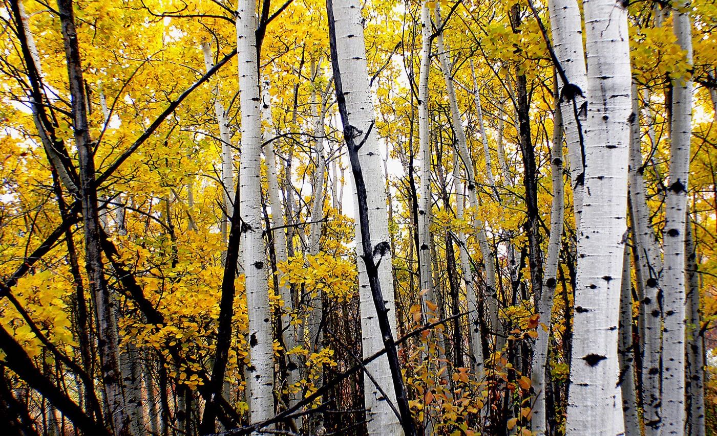
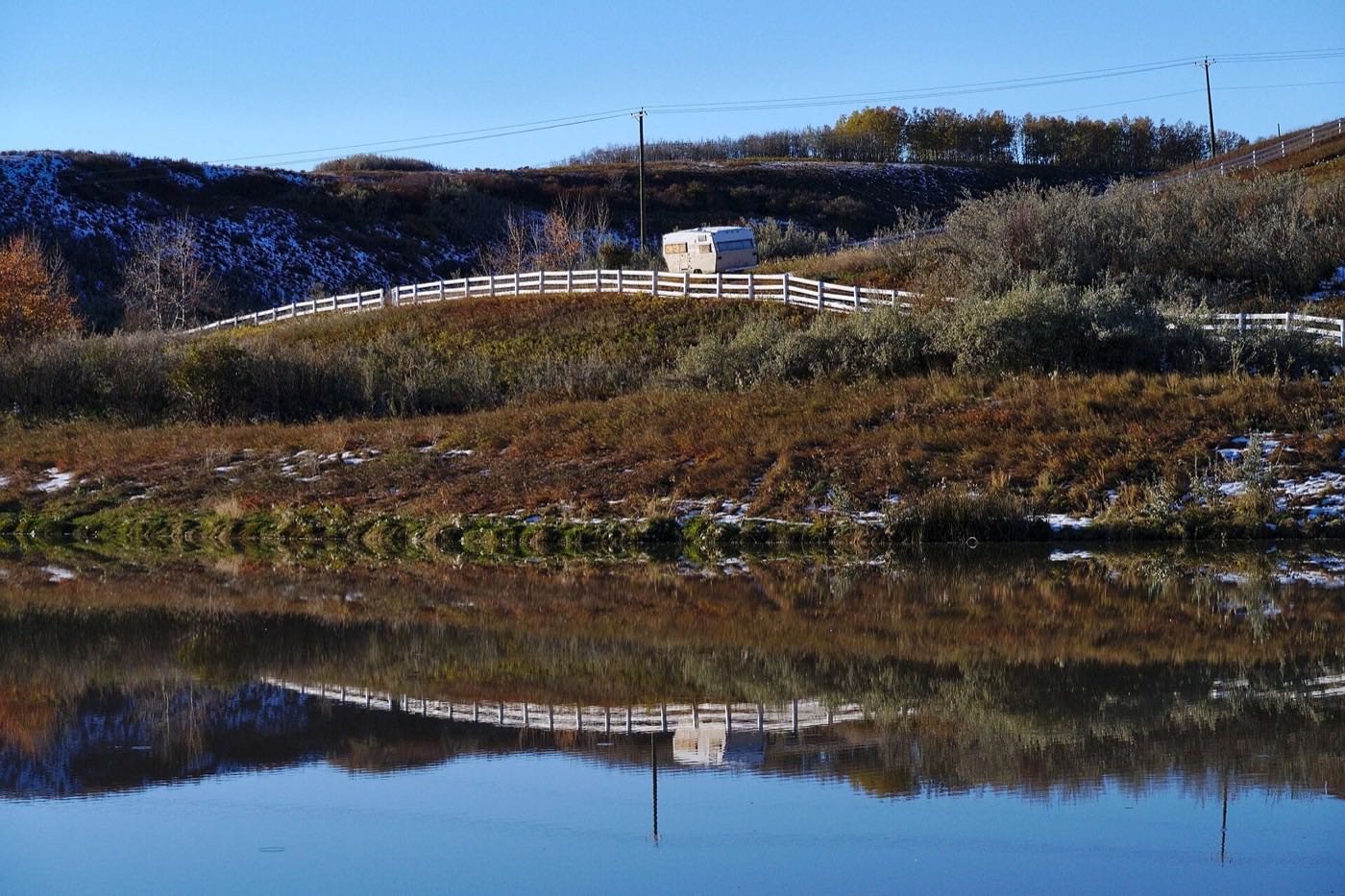
What the map does not show: being near two large protected areas rather than inside one is the trade-off here. Fish Creek is a short drive rather than a walk out the back gate, but the Bow valley on the eastern edge is genuinely at the property line for the Ridge and Valley districts. Flood note: the Bow flooded severely in 2013. Ask any insurer about overland water coverage and check where a specific address sits relative to the flood fringe and the escarpment.
Elsewhere in Calgary, not Chaparral

23 places, with real drive times
Road-adjusted distance and drive time from the centre of the community to each destination, nearest first. Filter by category.
Showing 1–12 of 23 places, nearest first.
Method: distances and drive times are estimated from the community centre to each destination using Calgary's road grid, and are rounded to honest ranges rather than presented as precise figures. Chaparral spans three districts across 5.4 km², so an address in the Ridge can be several minutes different from one in the lake district. Macleod Trail and Stoney Trail at peak will push the longer trips higher.
Every gym within reach
The deep south is served by one large civic recreation centre plus the chain clubs at Shawnessy. Confirm hours before you count on any of them.
- Four sheets of ice, a gymnasium, rentable rooms and a restaurant. Its own site lists no pool, no field house and no fitness floor
- The Shawnessy node carries chain clubs within 10 minutes, though this guide confirmed none of them against a publisher
- The LCRA membership covers courts, grounds, a concession and resident programmes. The association does not itemise a beach or boat rental, so ask
- Blue Devil Golf Club sits inside Chaparral Valley. Its own domain did not resolve when this guide was audited
| Facility | What it is | Drive |
|---|---|---|
| Cardel Rec South open | Calgary's only community-operated quad arena at 100-333 Shawville Boulevard SE, with a gymnasium, rentable rooms and a restaurant. Its own site lists no pool, no field house and no fitness floor. | 6–10 min |
| Lake Chaparral recreation centre open | Included with the LCRA membership: courts, grounds, a concession and resident programmes. The association's site does not itemise boat rental or equipment, so ask before you assume. | 1–4 min |
| Anytime Fitness, Shawnessy open | Chain club at the Shawnessy retail node. This guide confirmed it against no publisher. | 6–10 min |
| GoodLife Fitness, Shawnessy open | Chain club at Shawnessy Towne Centre. This guide confirmed it against no publisher. | 6–10 min |
| Orangetheory Fitness, Shawnessy open | Group interval training studio at Shawnessy. This guide confirmed it against no publisher. | 8–11 min |
| Planet Fitness, Midnapore open | Budget-tier club north up Macleod Trail. This guide confirmed neither its address nor its hours against a publisher, so check both. | 8–12 min |
| Blue Devil Golf Club open | Not a gym, but the community's other membership worth pricing. Its own domain did not resolve when this guide was audited. | 4–6 min |
| Lake Chaparral courts & beach open | Courts, grounds and lake access covered by the annual fee. The association's site lists courts and a concession; it does not describe a beach or winter skating, so ask. | 1–4 min |
The free option is a good one. The Bow valley pathways on the eastern edge and Fish Creek's more than 100 km of trails a few minutes north cost nothing.
K–12 across the community and its neighbours
Chaparral School covers the public side and St. Sebastian the Catholic side, both K to 6 inside the community by Wikipedia's account. Midsun Junior High takes the middle years, and Centennial High School, open since 2004 at 55 Sun Valley Boulevard SE with about 1,595 students in 2023, takes grades 10 to 12 for Chaparral and nine other deep-south communities.
| School | Board | Note |
|---|---|---|
| Chaparral School | Calgary Board of Education | The public school inside the community. Wikipedia lists it as Chaparral Elementary School, K to 6. |
| St. Sebastian School | Calgary Catholic | Catholic K to 6 inside the community, as Wikipedia lists it. The district's site refuses automated clients, so nothing here was read from it. |
| Midsun Junior High | Calgary Board of Education | Public junior high serving the deep south. No publisher this guide opened gives its grade range or attendance area. |
| Centennial High School | Calgary Board of Education | Grades 10 to 12 at 55 Sun Valley Boulevard SE in Sundance, open since 2004, about 1,595 students in 2023. It serves ten communities including Chaparral, with AP, apprenticeships in commercial foods and cosmetology, ELL and Knowledge & Employability. |
| Father James Whelihan | Calgary Catholic | Catholic option in the neighbouring communities. No publisher this guide opened describes it, so confirm it with the district. |
Alberta funds Catholic education the same way it funds public education, so there is no tuition for a resident student at either board. School and activity fees, optional course fees and transportation are billed separately. No board page read for this guide publishes an attendance area, and the Calgary Catholic School District's site refuses automated clients, so confirm the designation for a specific address before you buy.
Month by month, what living here looks like
Not a highlights reel: the actual annual rhythm, including the dates residents have to remember.
- Lake frozen: skating, shinny and ice fishing on your membership
- Cardel Rec South's four rinks carry the organised hockey season
- Chinook arches over the Rockies are especially clean from the Bow escarpment
- Fish Creek's trails are quiet and walkable just north across Stoney Trail
- Skating season continues on the lake
- Family Day long weekend, LCRA events and rink time
- Centennial and Midsun winter sports seasons in full swing
- Deer and coyotes move along the Bow valley edge in the cold
- Ice off the lake late in the month in a warm year
- Spring break: Shawnessy's cinema and rec centres fill up
- First bare pavement on the Bow River and Fish Creek pathways
- Meltwater makes the escarpment coulees run for a few weeks
- Lake thaws fully; boats and rental equipment return
- Aspens leaf out along the Bow valley
- Goslings and ducklings appear on the lake and stormponds
- Blue Devil opens for the golf season, weather permitting
- Beach and courts readied for the season
- May long weekend: first cookshack bookings and beach evenings
- Fish Creek in full leaf, minutes north
- LCRA emails the year's membership fee: watch for it this month or next
- Swimming season opens as the lake warms
- Sikome Lake (public) opens late June, 8–12 min north
- Longest evenings of the year: light past 10pm
- June rains: Calgary's wettest month, and the Bow runs high
- Membership fees due in full by 1 July: no partial payments
- Calgary Stampede: ten days, about half an hour up Macleod Trail
- Beach, boating and fishing at full tilt with free equipment rental
- Evening thunderstorms roll off the foothills to the west
- Warmest water of the year in the lake
- Spruce Meadows Masters, 12–18 minutes west
- Back-to-school runs at Shawnessy Towne Centre
- Saskatoon and chokecherry picking along the Bow valley
- Aspens turn along the Bow and in Fish Creek: the best colour weeks
- School year starts at Chaparral, St. Sebastian and Centennial
- Boats out of the water by month end
- Elk bugling season in Kananaskis, west via Highway 22X
- Last reliable dry-trail weeks in Fish Creek and along the Bow
- First hard frosts; furnace season begins
- Halloween: a big night in a community this full of families
- Golf season closes at Blue Devil, usually mid-to-late month
- Lake begins to freeze; stay off until the association flags it safe
- Winter tires on: Stoney and Macleod both ice up in cold snaps
- Christmas lights go up early; dark by 5pm
- Indoor season: Cardel Rec South and the Shawnessy library pick up
- Lake typically freezes mid-to-late December: skating season opens
- Shortest days: sunrise about 8:38am, sunset about 4:30pm at solstice
- Chinooks can strip the snow overnight and bring it right back
- New Year's skate on the lake to close the year
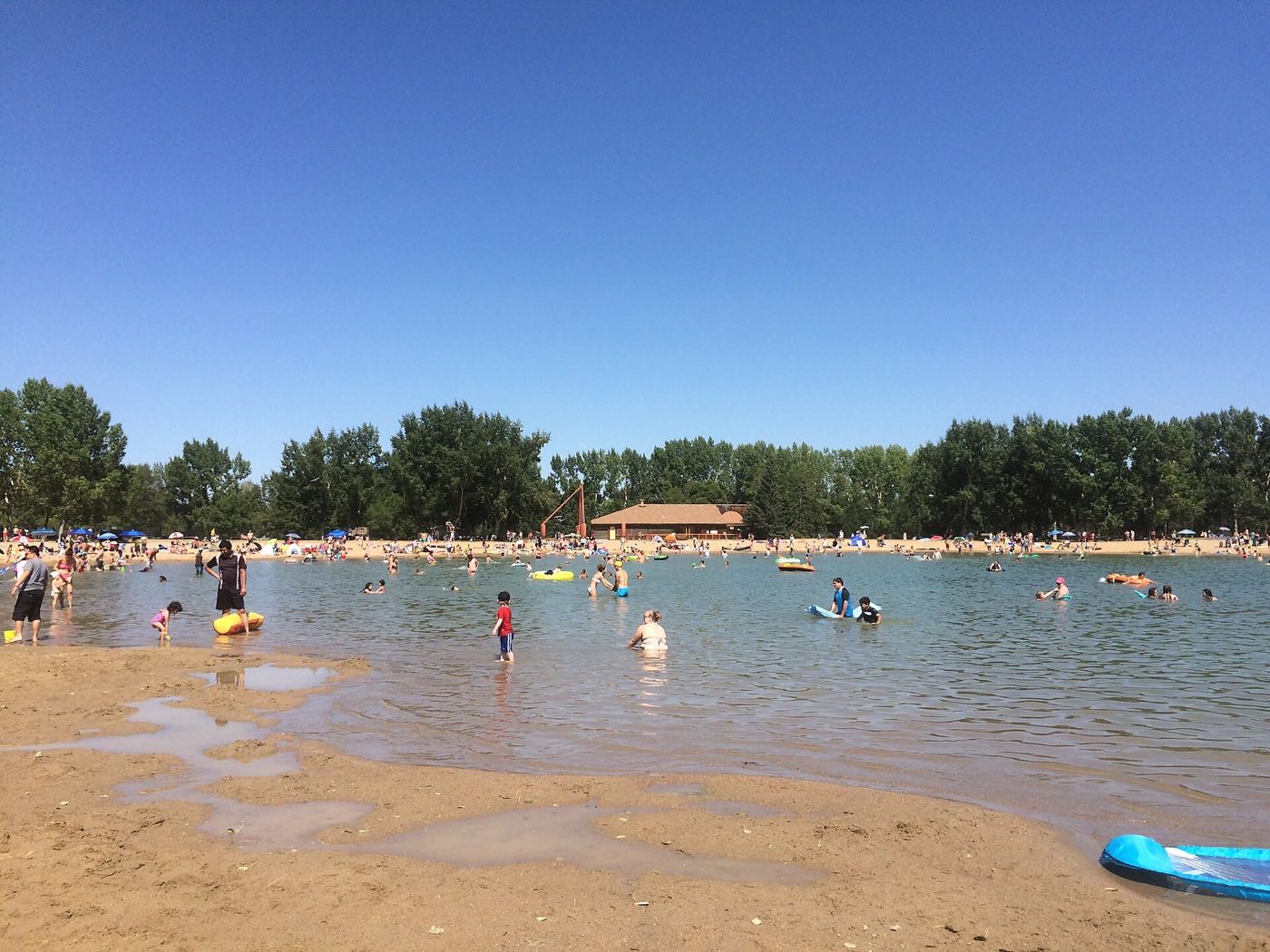
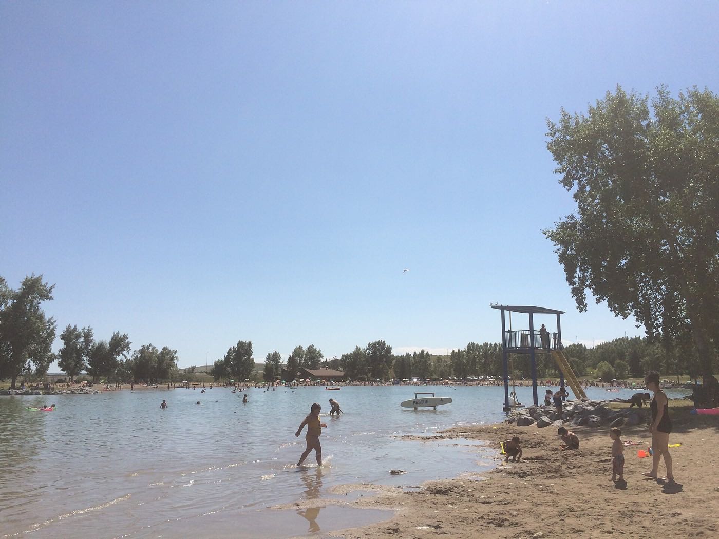
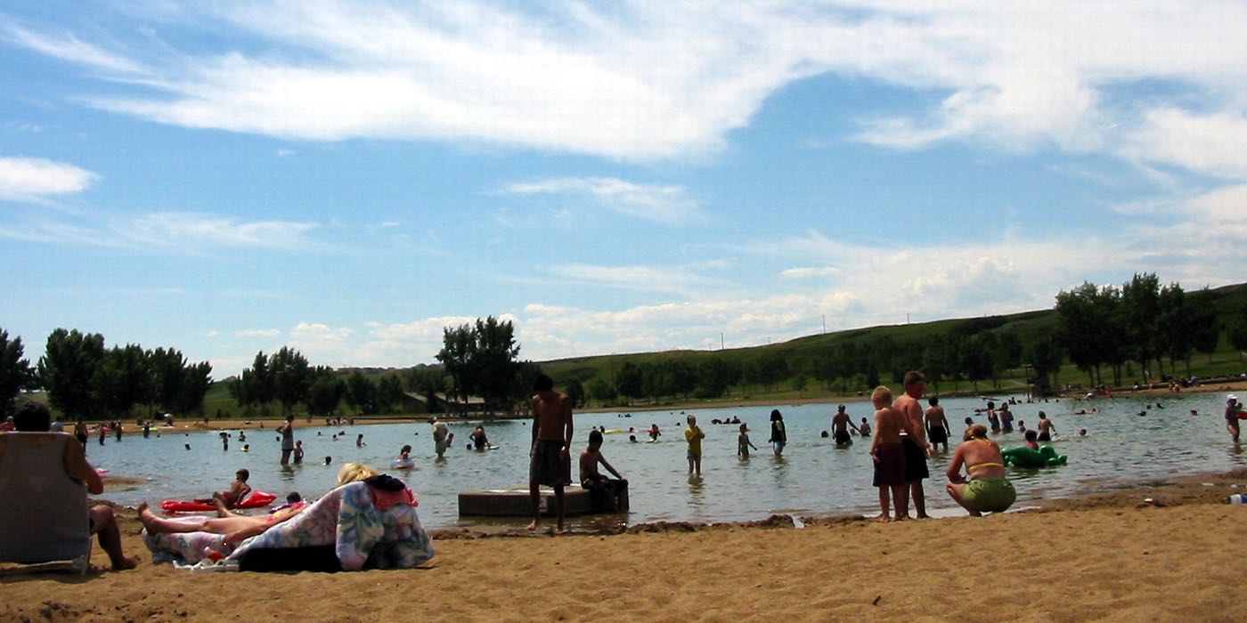
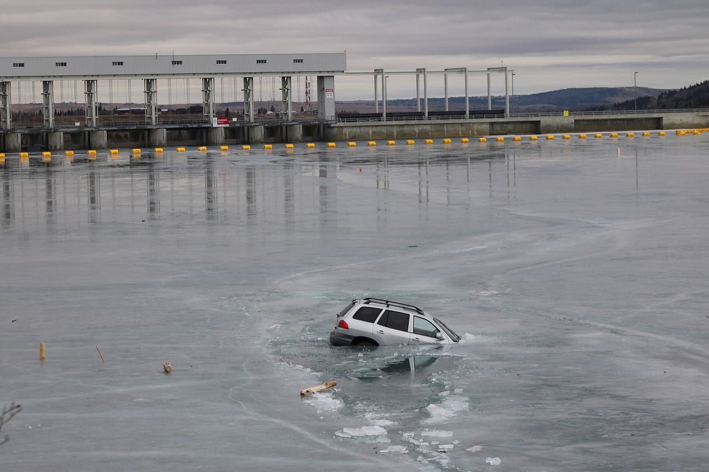
77 more photographs of the community and its surroundings
All freely licensed, via Wikimedia Commons. Filter by category.
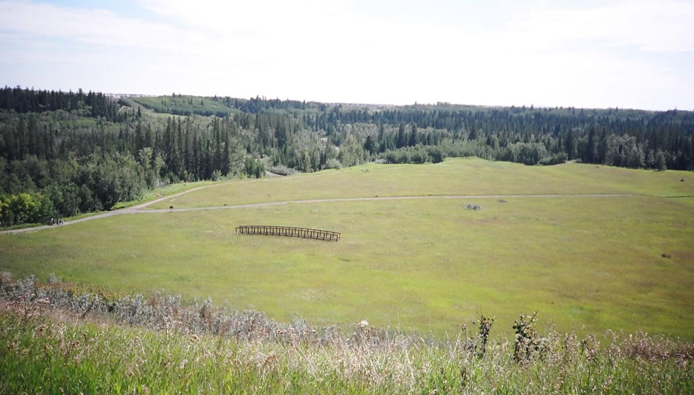
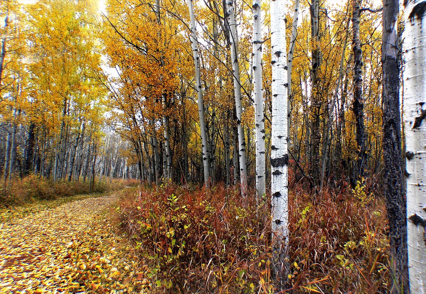
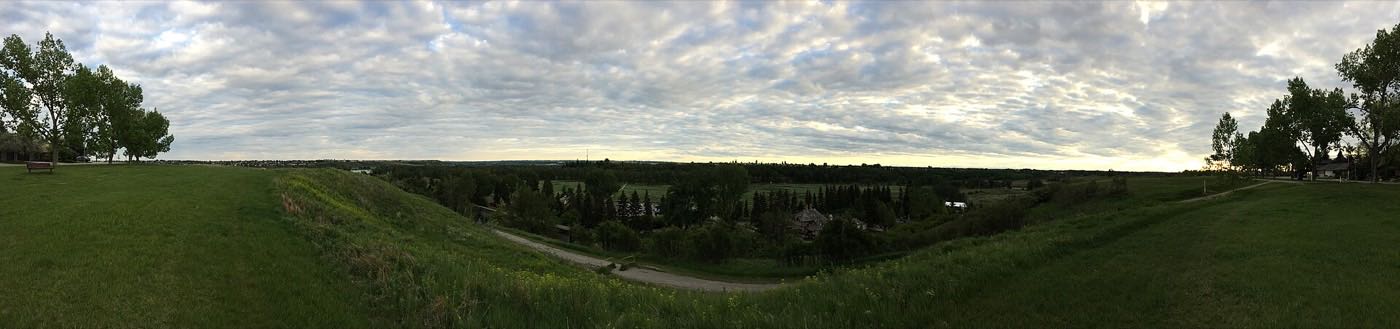
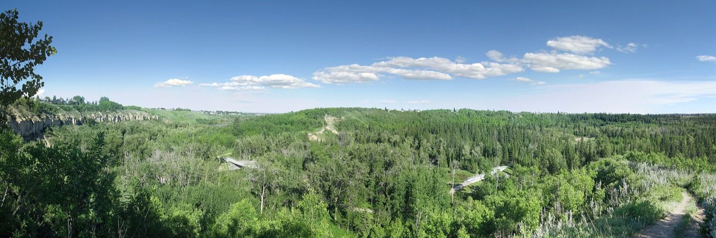
Showing 1–12 of 77 photographs.
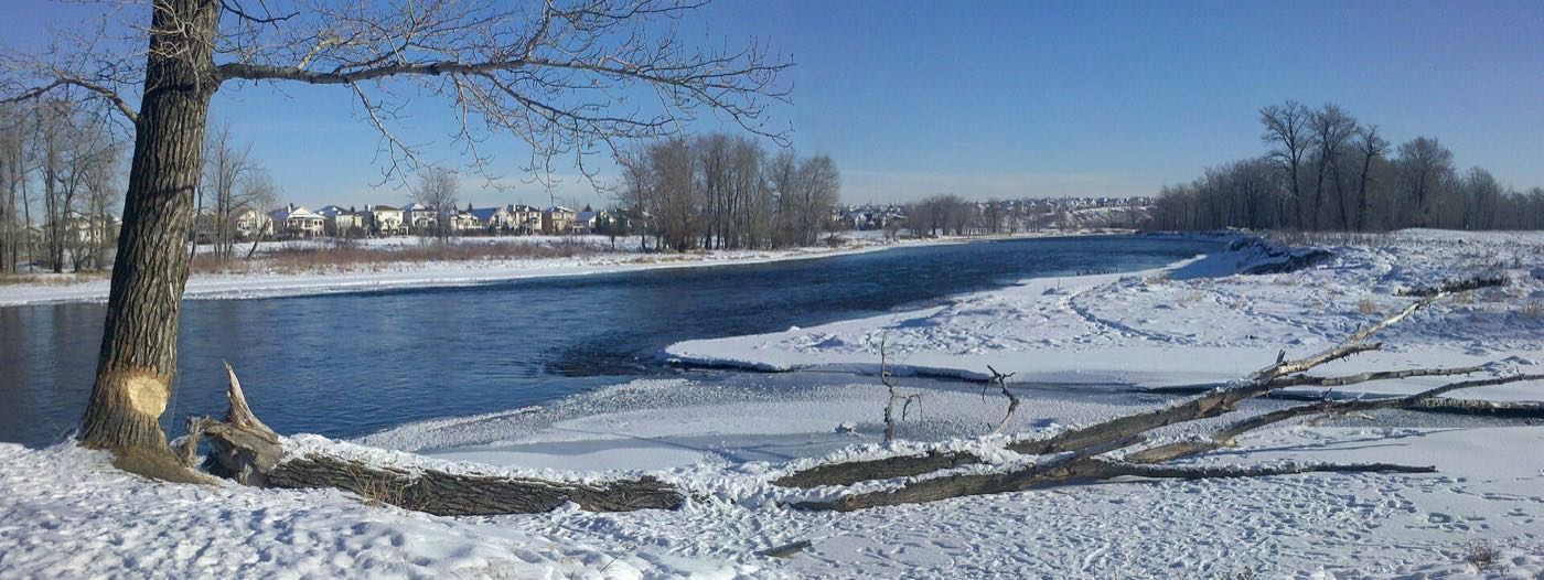
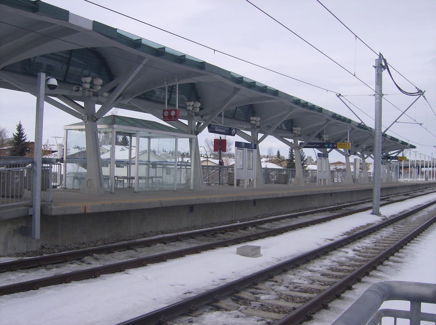
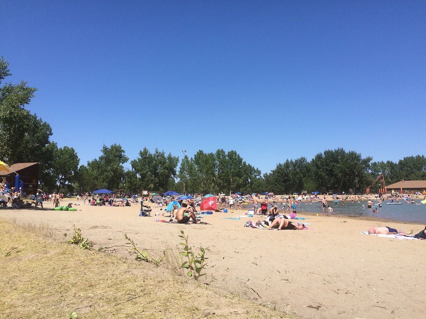
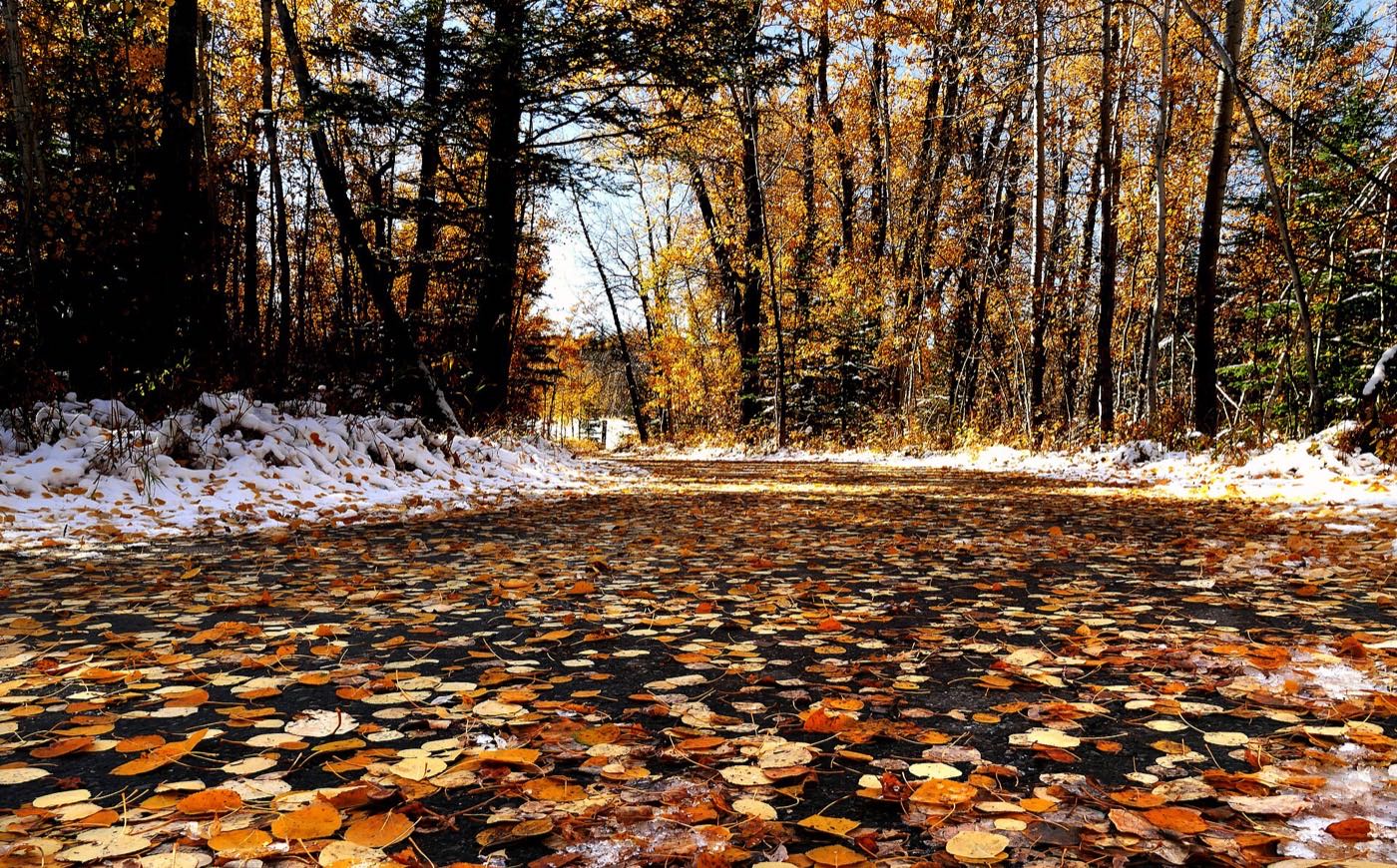
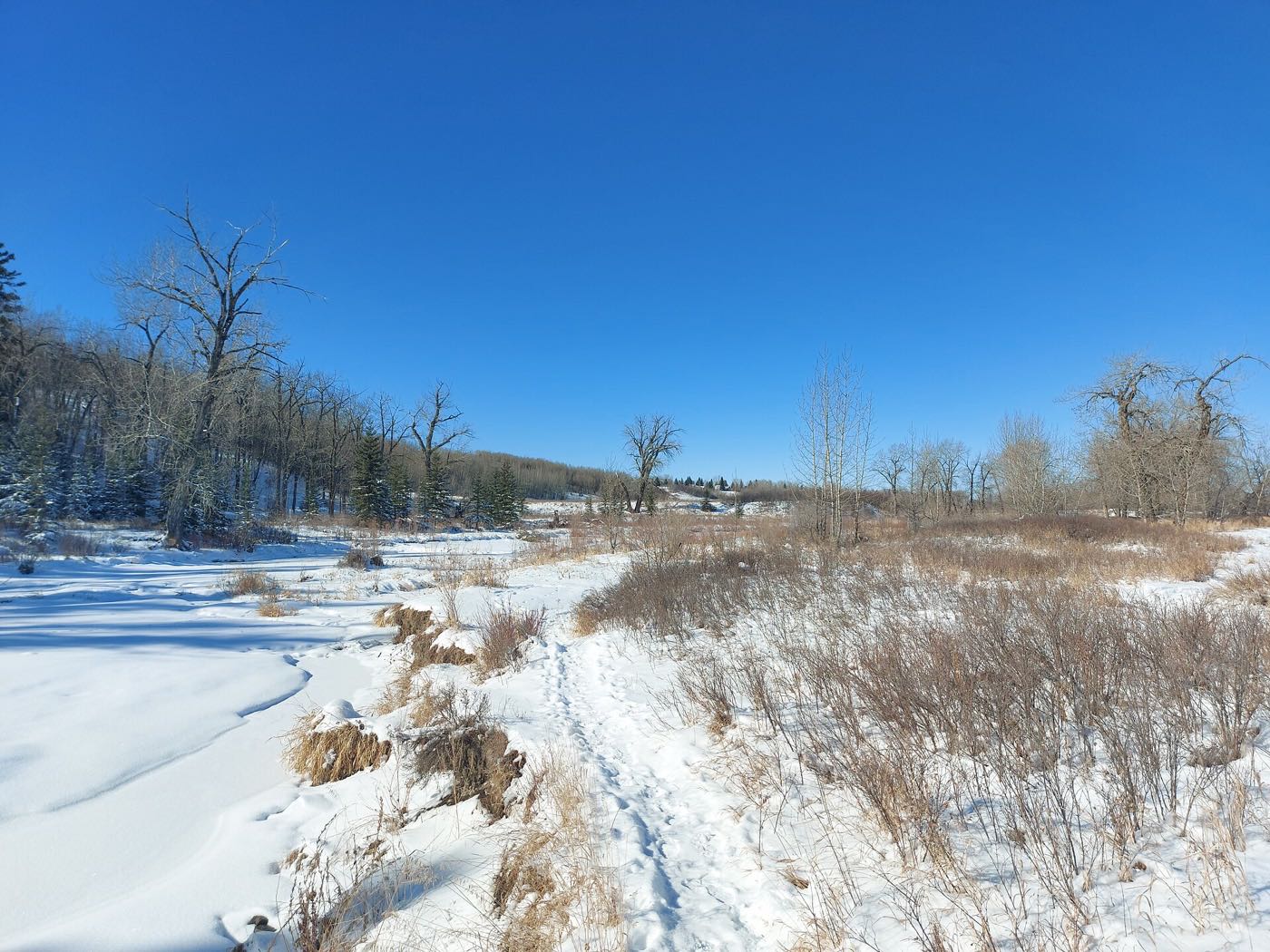
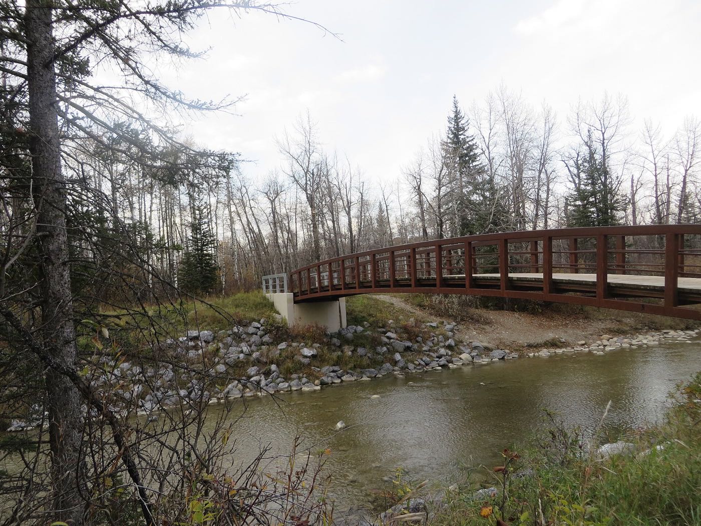
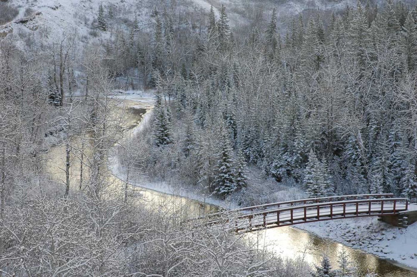
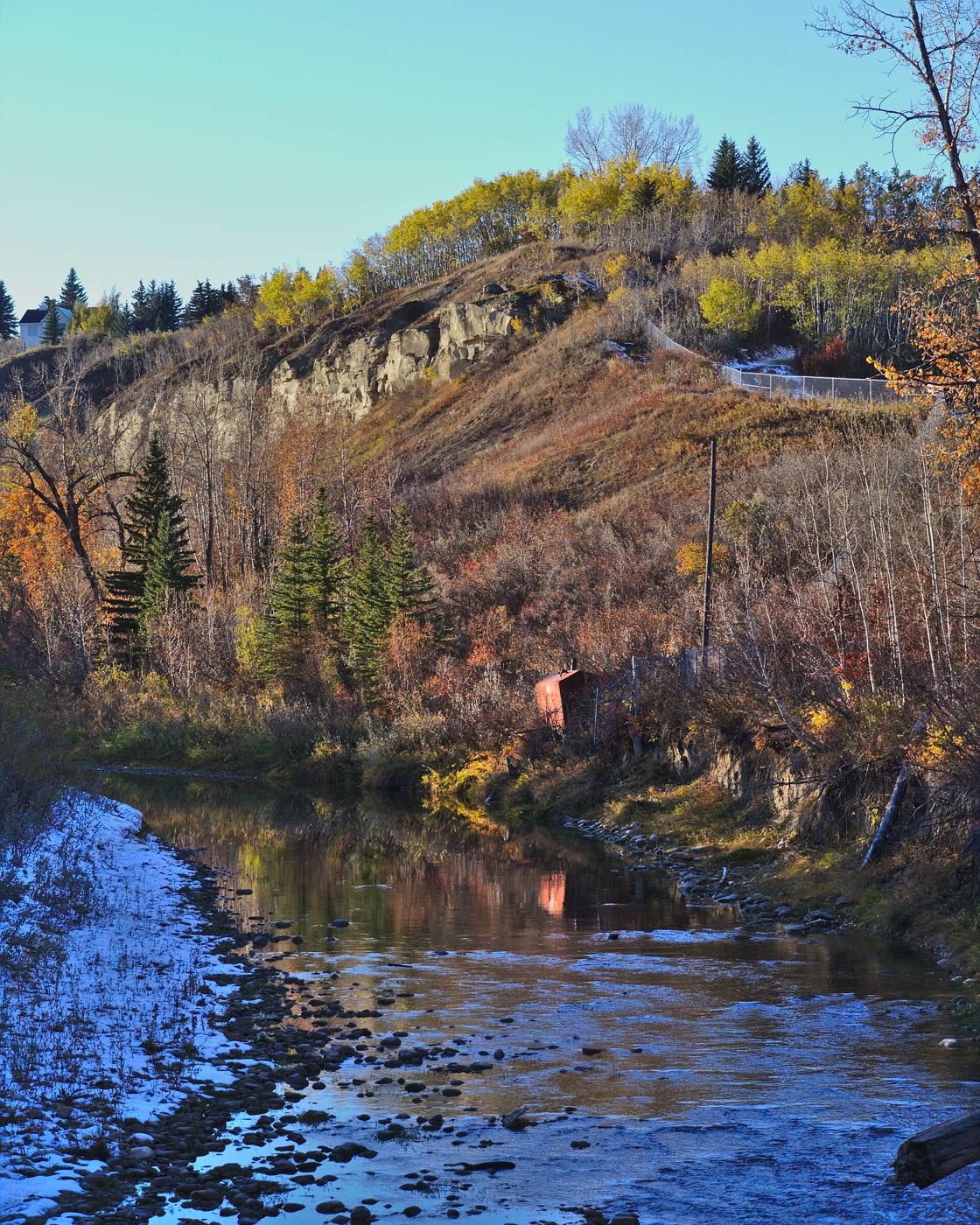
Honesty note. Chaparral genuinely shares this corner of the city with the other south-Calgary communities on this site: the same Bow River, the same Fish Creek Park a few minutes north, the same Red Line south leg and the same skyline, so the shared photo library applies here. Midnapore-specific images are excluded, species shots taken elsewhere in Alberta are labelled as such, and nothing here is presented as a photograph of Lake Chaparral itself.