
Live in Douglasdale/Glen
A 1986 southeast community on a bend of the Bow River, between 114 Avenue SE and 130 Avenue SE with Deerfoot Trail on its eastern edge.
Douglasdale/Glen was established in 1986 on a bend of the Bow River in southeast Calgary. Wikipedia files it as Douglasdale/Douglasglen and the City as Douglasdale/Glen; either way it is one community of 6.4 km², and 59 per cent of the dwellings occupied in 2021 were built between 1991 and 2000. The 2021 census counted 12,920 residents in 4,885 private households, 80 per cent of the occupied dwellings single-detached houses and 88 per cent of households owners. Ralph Klein Park, a 30 hectare wetland opened in 2011, sits south of the community, and the Quarry Park business and retail district is on its northern side.
One community on a bend of the Bow, between the river and the freeway
Bordered north by 114 Avenue SE, south by 130 Avenue SE, east by Deerfoot Trail, and west by the Bow River. Ward 11.
Douglasdale/Glen was established in 1986 on a bend of the Bow River in southeast Calgary. Wikipedia files it as Douglasdale/Douglasglen and the City as Douglasdale/Glen: the two names cover the same 6.4 km². The Quarry Park office and retail district sits on the community's northern side, where the Remington YMCA is at 108 Quarry Park Rd SE.
The boundaries are geographic rather than arbitrary: 114 Avenue SE to the north, 130 Avenue SE to the south, Deerfoot Trail forming the eastern edge, and the Bow River as the western boundary, with Fish Creek Provincial Park downstream where Fish Creek joins the Bow.
Housing mix. Close to as uniform as Calgary gets: 80% single-detached houses, 11% apartments in buildings under five storeys, 6% row houses and 3% semi-detached. 88% of households own and 12% rent, against 69% and 31% city-wide. Median household income was $130,000 in 2020, well above the city's $98,000.
Who lives here. The 2021 census counted 12,920 residents in 4,885 private households, barely changed from the 12,871 the City's last civic census found in 2019. Fifty-nine per cent of the occupied stock went up between 1991 and 2000, and another 18% since 2011: a settled community that has kept adding at the edges.
- 59% of occupied dwellings were built between 1991 and 2000. Check roofs, windows, furnaces and electrical panels against design life
- The Bow River is the western boundary. Douglasdale was one of 26 Calgary neighbourhoods under a mandatory evacuation order in the June 2013 flood
- 12% of households rent and 80% of occupied dwellings are single-detached: this is a house community end to end
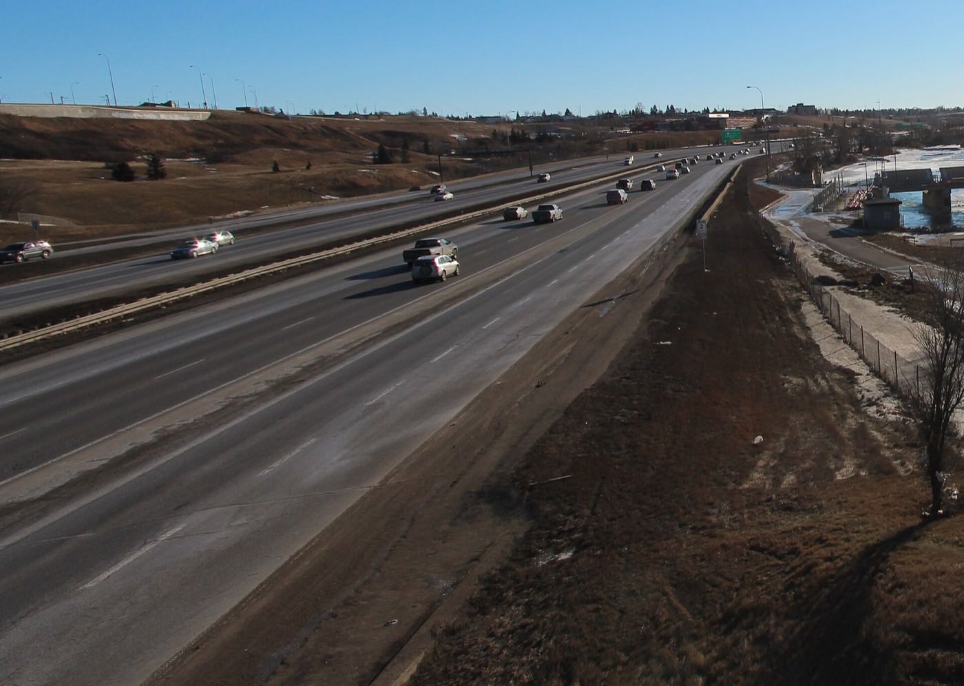
- Deerfoot Trail runs the eastern edge. Go and listen at different times of day before you buy near it
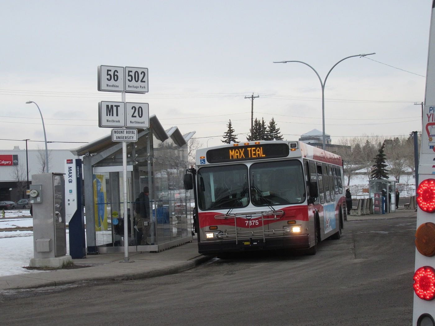
- 86% of commuters drive and 4% take transit. There is no CTrain station here
- No publisher this audit opened names a designated public junior high for the community
How Douglasdale/Glen got here
- 1986Douglasdale/Glen is established in southeast Calgary, bounded by 114 Avenue S, 130 Avenue S, Deerfoot Trail and the Bow River.
- 1991 to 2000The bulk of the community goes up. Fifty-nine per cent of the dwellings occupied in 2021 date from this decade, against 16 per cent from the 1980s.
- 2011Ralph Klein Park, a 30 hectare wetland park at 12350 84 Street SE named for the former mayor and premier, opens to the public on 18 June.
- 2013Douglasdale is one of 26 Calgary neighbourhoods placed under a mandatory evacuation order in the June flood, which ran from 19 June to 12 July.
- 2019The City's last civic census counts 12,871 residents in 4,945 dwellings, 4,831 of them occupied.
- 2021The federal census records 12,920 residents in 4,885 private households, 88 per cent of them owners.
A river on one side, a provincial park downstream, and a wetland just south
The Bow River pathway runs the community's western edge, connecting into Fish Creek Provincial Park, 13.48 km² and the second largest urban park in Canada, where Fish Creek meets the Bow. A few minutes south, Ralph Klein Park adds a 30-hectare wetland park at 12350 84 Street SE, opened on 18 June 2011 and named for the former mayor and premier.
What the map does not show: this is one of the better-positioned communities on this site for river access without a private lake fee. The trade-off is that the same river was the reason Douglasdale appeared on the 2013 evacuation list, and it is worth walking the pathway at high-water season before assuming the proximity is purely an upside.
Elsewhere in Calgary, not Douglasdale/Glen

21 places, with real drive times
Road-adjusted distance and drive time from the centre of the community to each destination, nearest first. Filter by category.
Showing 1–12 of 21 places, nearest first.
Method: distances and drive times are estimated from the centre of the community to each destination using Calgary's road grid, and are rounded to honest ranges rather than presented as precise figures. Quarry Park's retail and services sit immediately north, which is why the nearest entries here are unusually close.
Every gym within reach
The southeast is served by one large civic complex plus a chain club inside Quarry Park itself, with Eaglequest Douglasdale's golf course and the river pathway network as the free options.
- The complex's own site did not answer this audit, so check its facilities and rates directly
- GoodLife Fitness in Quarry Park is the closest paid gym to the community
- The Brookfield Residential YMCA at Seton, 4995 Market Street SE, is the other large option south of here
- Eaglequest Douglasdale at 7 Douglas Wood Drive SE and the Bow River pathway are the on-your-doorstep options
| Facility | What it is | Drive |
|---|---|---|
| South Fish Creek Recreation Complex open | The Shawnessy complex at 333 Shawville Blvd SE, address of the Shawnessy YMCA branch. The complex's own site did not answer. | 9–14 min |
| GoodLife Fitness, Quarry Park open | Chain club in the Quarry Park business district. The closest paid gym to the community. | 3–6 min |
| Brookfield Residential YMCA at Seton open | YMCA Calgary's Seton branch at 4995 Market Street SE. | 13–20 min |
| Eaglequest Douglasdale Golf Course open | Public 18-hole course at 7 Douglas Wood Drive SE, with a grass range, chipping green and instruction, inside the community. | 1–3 min |
| Douglasdale/Quarry Park pathway network & Ralph Klein Park open | Free option: riverside pathways along the Bow, plus Ralph Klein Park's 30 hectare wetland a few minutes south. | 1–8 min |
Confirm golf-course hours seasonally. Eaglequest Douglasdale is an 18-hole public course with a grass range, chipping green, instruction and junior camps, but it closes for the winter. It is a spring-through-fall amenity, not a year-round one.
Two schools inside the community, and a high school in Acadia
Douglasdale School serves the community on the public side, and Wikipedia gives it as kindergarten to grade 5 with an autism programme. Monsignor J. S. Smith School is the Catholic kindergarten to grade 9. Lord Beaverbrook, grades 10 to 12 at 9019 Fairmount Drive, names Douglasdale/Douglasglen among the communities it serves.
| School | Board | Note |
|---|---|---|
| Douglasdale School | Calgary Board of Education | Inside the community, with its own site under the board's domain. Wikipedia gives it as kindergarten to grade 5 with an autism programme. |
| Monsignor J. S. Smith School | Calgary Catholic | Catholic kindergarten to grade 9, as Wikipedia names it for this community. The district's own site refuses automated clients, so nothing here was read from the district. |
| Lord Beaverbrook High School | Calgary Board of Education | Grades 10 to 12 at 9019 Fairmount Drive, with an enrolment of 1,552 in 2022. Douglasdale/Douglasglen is one of the communities it names. |
| Junior high designation | Both boards | No publisher this audit opened names a designated public junior high for the community. Confirm the current designation for a specific address with the board before you buy. |
Alberta funds Catholic education the same way it funds public education, so there is no tuition for a resident student at either board. The Calgary Catholic School District's site refuses automated clients, so nothing on the Catholic side here was read from the district itself, and no publisher this audit opened names a designated public junior high. Confirm the current designation for a specific address with the board before you buy.
Month by month, what living here looks like
Not a highlights reel: the actual annual rhythm, including the dates residents have to remember.
- Bow River pathway packed with snow but still walked and run
- Eaglequest Douglasdale's clubhouse is closed for the season
- Deerfoot Trail is the community's eastern edge and the route most commutes start on
- Ralph Klein Park's wetland is frozen and quiet, a flat winter walk at 12350 84 Street SE
- South Fish Creek's twin arenas carry the organised hockey season
- Chinooks can strip the riverbank pathways bare for a few days at a time
- Family Day long weekend keeps the Quarry Park Market busy
- Coldest stretches of the year, typically breaking by month end
- Bow River ice begins to break up
- Eaglequest Douglasdale reopens for the season, weather permitting
- Spring break fills the South Fish Creek YMCA
- Melt and refreeze on side streets through the community
- First golfers out at Eaglequest Douglasdale
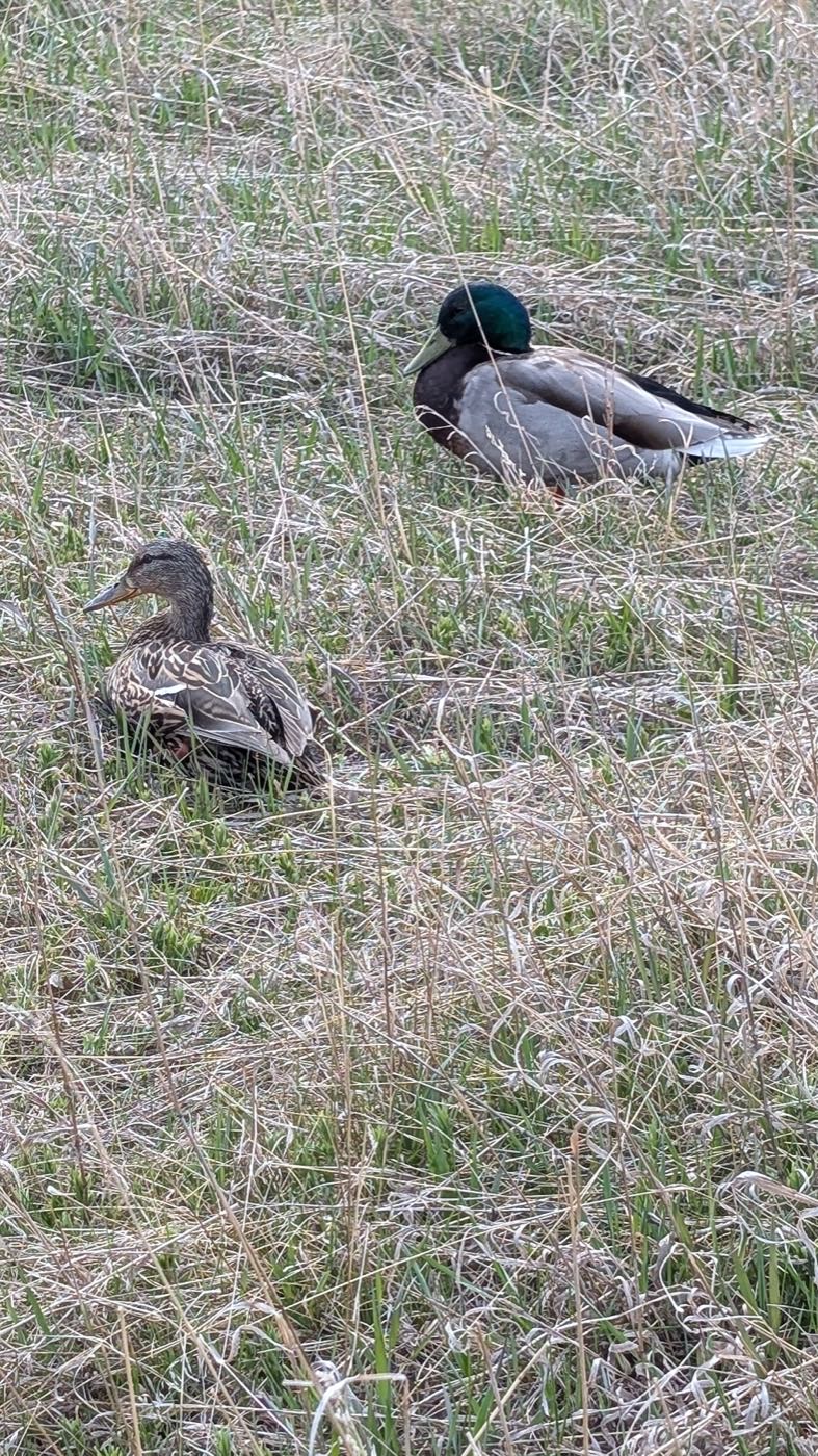
- Ralph Klein Park's wetland comes back to life. Early migrating waterfowl arrive
- Pathway network along the Bow reopens in earnest
- Last hard frosts before planting season
- Long evenings return: sunset past 9pm by month end
- Fish Creek Provincial Park's trails dry out at the community's western edge
- Junior golf camps begin at Eaglequest
- Hail season begins across the southeast
- Peak daylight at the solstice: over 16 hours
- Flood-watch season on the Bow River, a live consideration this close to it
- School year ends at Douglasdale School and Monsignor J. S. Smith
- Thunderstorm season is fully under way
- Calgary Stampede: ten days, about 20 minutes north on Deerfoot
- Ralph Klein Park's wetland is at its fullest
- Bow River pathway busiest of the year, cyclists and runners alike
- Evening thunderstorms roll in from the west
- Warmest weeks for the Bow River pathway and Fish Creek's trails
- Quietest stretch before school returns
- Eaglequest's junior camps wind down for the season
- Ralph Klein Park's 30 hectares of wetland are worth a summer visit for the birds alone
- School year restarts at Douglasdale School and Monsignor J. S. Smith
- Migrating waterfowl stage on the Ralph Klein Park wetland
- First frost typically arrives late in the month
- Quarry Park Market busiest with back-to-school traffic
- Eaglequest Douglasdale's season winds down
- First snow is normal, and normally melts
- Snow tires go on
- Shorter evenings noticeable by mid-month along the river pathway
- Dark by 5pm
- South Fish Creek's indoor rinks fill up for the winter season
- Ralph Klein Park's wetland starts to freeze over
- Bow River begins to ice over
- Holiday quiet across the community
- Deerfoot Trail carries the bulk of holiday shopping traffic to Chinook Centre and Southcentre
- River ice takes hold along the pathway
- Chinooks, when they come, can strip snow overnight and bring it right back
5 more photographs of the community and its surroundings
All freely licensed, via Wikimedia Commons. Filter by category.


Showing 1–5 of 5 photographs.
About these photographs. Openly licensed images geotagged in or near Douglasdale/Glen, found on Wikimedia Commons and served from there with full attribution. Inline photos elsewhere on the page may still come from the site's shared Calgary library.