
Live in Albert Park/Radisson Heights
An inner-city southeast community established in 1910, built along the 17 Avenue SE "International Avenue" corridor and served by its own CTrain station.
Albert Park/Radisson Heights was established in 1910 and spent a quarter century as villages, then as the Village and Town of Forest Lawn, before Calgary annexed the town on 30 December 1961. It sits along the 17 Avenue SE "International Avenue" corridor, a business revitalization zone that runs from 26 Street to 61 Street and holds over 425 businesses, and it is still routinely confused with neighbouring Forest Lawn itself. At the 2021 census it held 6,740 residents in about 2,790 private households, 65 per cent of them renting, and 39 per cent of residents were immigrants.
Two villages, a 1961 annexation, and the city's most international main street
Bounded west by the Bow River and Deerfoot Trail, north by Memorial Drive, south by 17 Avenue SE (International Avenue), and east by Forest Lawn around 48 to 52 Street SE. Ward 9.
Albert Park/Radisson Heights was established in 1910, on farmland east of the Bow River. It spent the next half century outside Calgary: Forest Lawn and neighbouring Albert Park incorporated as villages on 4 July 1934, amalgamated on 1 August 1935 as the Village of Forest Lawn, and the village was incorporated as a town on 29 December 1952.
The Town of Forest Lawn was annexed by the City of Calgary on 30 December 1961. The community is still commonly confused with Forest Lawn today, even though Albert Park and Radisson Heights have been their own named community since.
Housing mix. At the 2021 census this was 65% renter households against a citywide 31%, with 39% of residents immigrants and median household income at $66,000, about two-thirds of Calgary's $98,000 median. Over half the occupied stock, 52%, was built between 1961 and 1980, and only 21% of it is single-detached: 38% is apartment in a building under five storeys.
The defining feature is 17 Avenue SE, known as International Avenue: a business revitalization zone running from 26 Street to 61 Street, with over 425 businesses including restaurants and grocery stores from around the world. It forms the community's entire southern boundary.
- 65% of households rent, more than double the citywide rate: this is not primarily an owner-occupier community
- Median household income is $66,000, about two-thirds of Calgary's $98,000 median
- 52% of occupied dwellings were built between 1961 and 1980 and 13% before 1961. Confirm roofs, wiring, windows and furnaces before you buy
- Still routinely confused with Forest Lawn itself, though it has been its own community since the 1961 annexation
- 17 Avenue SE (International Avenue) is a genuine commercial asset: over 425 businesses along the doorstep, from 26 Street to 61 Street
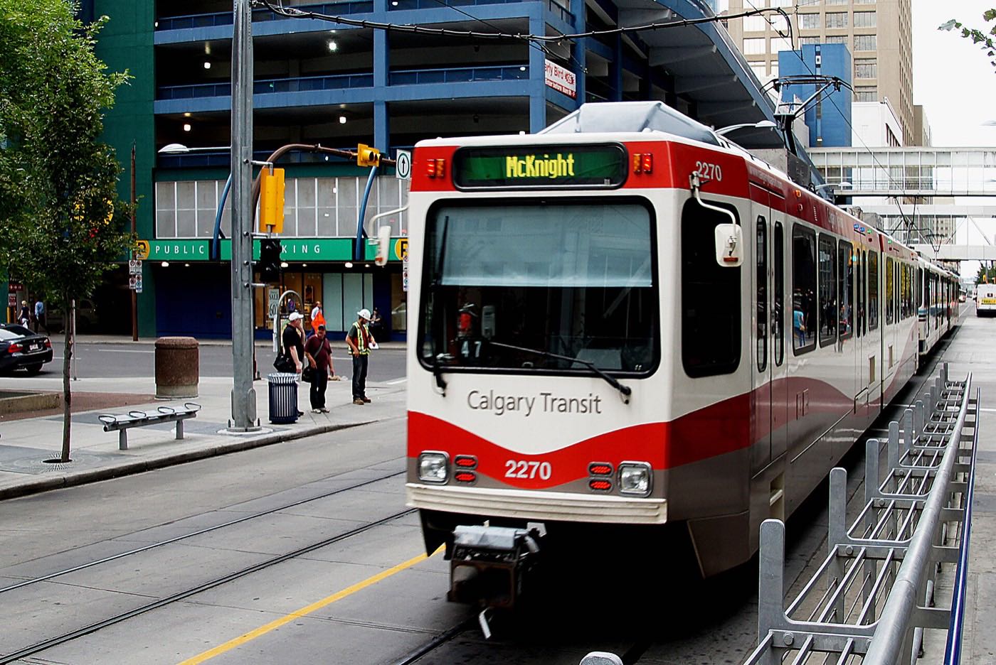
- Franklin CTrain station puts the Blue Line and downtown within a short trip, unusual for a community this far east
How Albert Park/Radisson Heights got here
- 1910Albert Park/Radisson Heights is established, on land east of the young city.
- 1934Forest Lawn and nearby Albert Park incorporate as villages on 4 July.
- 1935The two amalgamate on 1 August under the name of the Village of Forest Lawn.
- 1952Forest Lawn is incorporated as a town on 29 December.
- 1961The Town of Forest Lawn is annexed by the City of Calgary on 30 December.
- 1985Franklin station opens on 27 April at 2826 Memorial Drive SE, as part of the original CTrain route, giving the community a direct line downtown.
- 2006Radisson Park School is built, replacing two older elementary schools that are closed and merged into it.
- 2021The federal census counts 6,740 residents in about 2,790 private households, with 65 per cent of households renting, 39 per cent of residents immigrants and a median household income of $66,000 in 2020.
The Bow River pathway system, on the community's own doorstep
There is no private lake or provincial park here, but the community sits directly on the Bow River pathway system: Pearce Estate Park and the Bow Habitat Station, the Inglewood Bird Sanctuary, and Fort Calgary all sit within a few minutes west, reachable without ever getting on a freeway.
What the map does not show: Elliston Park sits a short drive east along 17 Avenue SE, one of the closer runs to it of any inner-city community on this site. It hosted the GlobalFest fireworks from 2003 through 2025; the festival moved to Spruce Meadows for 2026, which is a real loss to this end of the city.
Elsewhere in Calgary, not Albert Park/Radisson Heights

20 places, with real drive times
Road-adjusted distance and drive time from the centre of the community to each destination, nearest first. Filter by category.
Showing 1–12 of 20 places, nearest first.
Method: distances and drive times are estimated from the centre of the community to each destination using Calgary's road grid, and are rounded to honest ranges rather than presented as precise figures. This is an inner-city address. Downtown, the Zoo and the Stampede grounds are all closer here than from almost any other community on this site, and the mountains are a genuine haul at the other end.
Every gym within reach
Bob Bahan Aquatic & Fitness Centre, at 4812 14 Avenue SE, and the two Max Bell arenas at 1001 Barlow Trail SE both sit just outside the community, with a commercial gym on International Avenue itself and the city's larger regional facilities a short drive further out.
- Planet Fitness sits on International Avenue itself, a few minutes' drive from most addresses in the community
- MNP Community & Sport Centre (formerly Repsol/Talisman) adds Olympic-calibre pools and a fieldhouse, 12–16 minutes west on Macleod Trail
- Genesis Centre is the northeast's larger anchor hub, 15–20 minutes north
- The community's own streets and Elliston Park are the free option
| Facility | What it is | Drive |
|---|---|---|
| Bob Bahan Aquatic & Fitness Centre open | City-run pool at 4812 14 Avenue SE in neighbouring Forest Lawn, listed with weights and cardio. | 6–9 min |
| Max Bell Centre open | Two City arenas, Ken Bracko and Perry Cavanagh, at 1001 Barlow Trail SE, just west of the community. | 4–7 min |
| Planet Fitness, Forest Lawn open | Commercial gym on International Avenue, 17 Avenue SE. | 6–9 min |
| MNP Community & Sport Centre open | Regional multi-sport complex (formerly Repsol/Talisman Centre) Olympic-calibre pools, fieldhouse and courts on Macleod Trail. | 12–16 min |
| Genesis Centre open | The northeast's anchor recreation hub: gymnasiums, fitness centre and indoor courts. | 11–17 min |
| Community pathways & Elliston Park open | Free option: the community's own streets and green space, plus Elliston Park a short drive east. | 1–3 min |
Both Bob Bahan and Max Bell are City of Calgary facilities: check the drop-in schedule before you plan a visit around either.
One school inside the community, and a high school next door
Radisson Park School serves the community for public elementary. It was built in 2006 to replace two older elementary schools that were closed and merged into it. Forest Lawn High School is the public senior high next door. Neither the board nor the schools publish their grade ranges to non-browser clients, so confirm both with the CBE.
| School | Board | Note |
|---|---|---|
| Radisson Park School | Calgary Board of Education | Public elementary inside the community, built in 2006 to replace two older elementary schools that were closed and merged into it. Wikipedia gives its range as kindergarten to grade 5; the CBE site does not publish the range to non-browser clients. |
| Forest Lawn High School | Calgary Board of Education | Public senior high with its own CBE site. Confirm the designation for a specific address with the board. |
| Junior high designation | Calgary Board of Education | No junior high sits inside the community. Confirm the current designation for a specific address with the board before you buy. |
| Calgary Catholic School District | Calgary Catholic | Alberta funds Catholic education the same way it funds public education, so there is no tuition for a resident student at either board. The district's own site refuses automated clients, so nothing on the Catholic side here was read from the district: confirm designations directly with it. |
Alberta funds Catholic education the same way it funds public education, so there is no tuition for a resident student at either board. Junior high designations here have shifted with enrolment across the Forest Lawn feeder area: confirm the current designation for a specific address with the board before you buy.
Month by month, what living here looks like
Not a highlights reel: the actual annual rhythm, including the dates residents have to remember.
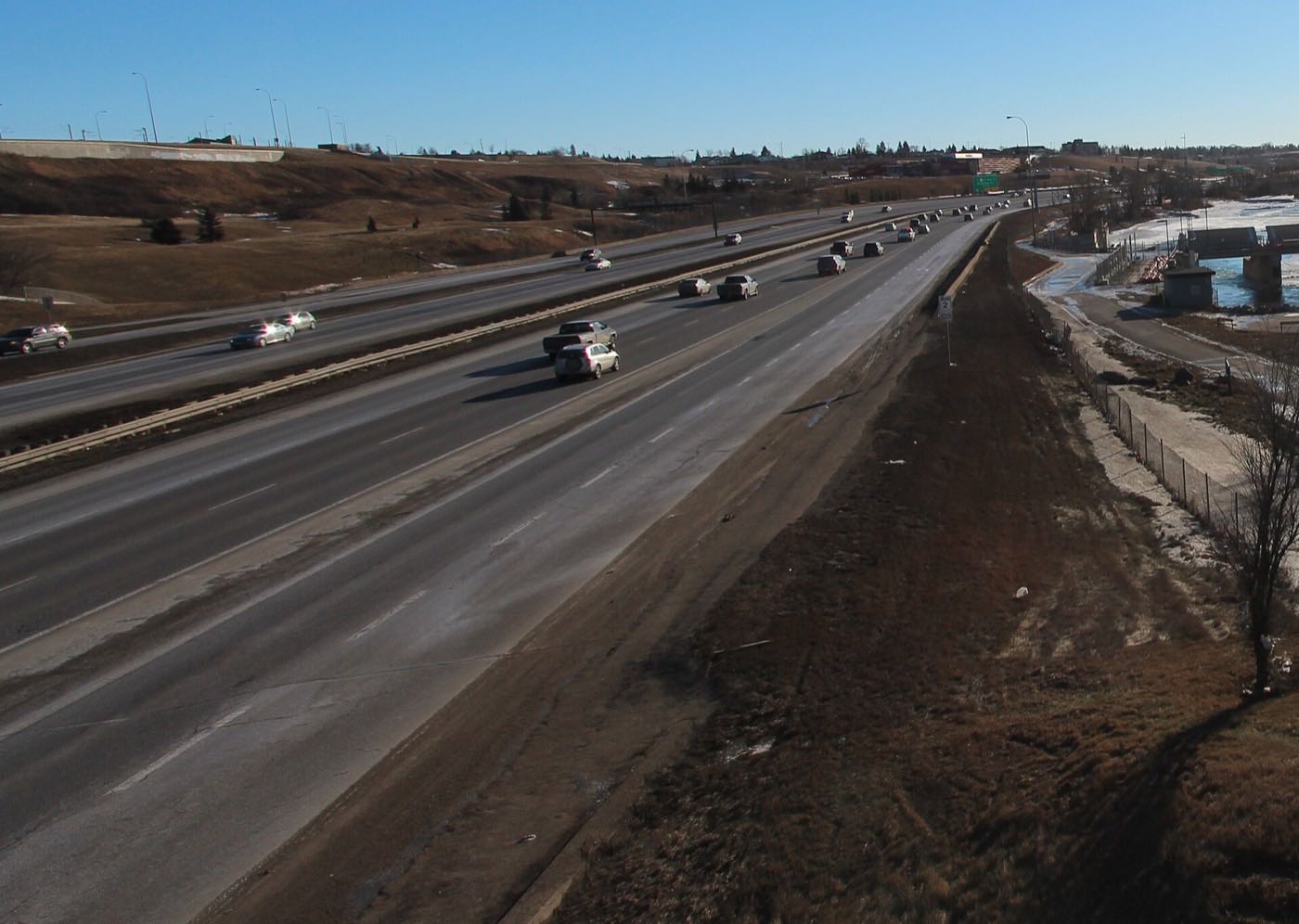
- Memorial Drive and Deerfoot Trail get priority plowing, so access into downtown holds up well for an inner-city address
- The Franklin Station platform is the most exposed point of a winter commute. Dress for the wind off the river
- Max Bell Centre's arenas carry the indoor season
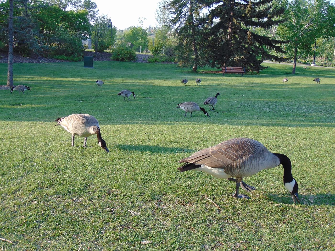
- Open water on the Bow near Pearce Estate Park keeps geese wintering close by
- Family Day programming runs at Radisson Park School and Max Bell Centre
- Chinooks reach this inner-city address faster than the far east. Memorial Drive can be bare within a day
- Planet Fitness and Bob Bahan both see their indoor peak
- Coldest stretches still break with a chinook off the river valley
- Melt and refreeze on International Avenue's older sidewalks
- The Bow River pathway near Pearce Estate Park starts to reopen
- Inglewood Bird Sanctuary sees the first returning waterfowl
- Community pathways and Elliston Park's grounds reopen
- Last hard frosts before the community's older gardens go in
- Migratory birds return in numbers to Pearce Estate Park and the Bow River
- Franklin Station's park-and-ride fills up again with the return of daylight commuting
- Elliston Park's wetlands come back to life
- East Town Get Down, International Avenue's independent music festival, runs on 17 Avenue SE
- Long evenings and community league season starts
- Radisson Park School's playground and fields dry out
- The Bow River pathway system fully reopens
- Peak daylight at the solstice: over 16 hours
- Max Bell Centre's outdoor programming begins
- School year ends at Radisson Park and Forest Lawn High
- Thunderstorm season is fully under way
- Calgary Stampede: ten days, about ten minutes west via Blackfoot Trail
- Best of East Stampede Breakfast runs on International Avenue
- Evening thunderstorms roll in from the west
- Hottest month, and the pavement on 17 Avenue SE holds the heat
- GlobalFest ran at Elliston Park, a short drive east, from 2003 through 2025 and is at Spruce Meadows from 2026
- Emerge Market and monthly food tours run along International Avenue
- Quietest weeks before school returns
- Warmest water at Pearce Estate Park's ponds
- School year restarts at Radisson Park and Forest Lawn High
- First frost typically arrives late in the month
- International Avenue's restaurants are busiest with the last patio weekends
- Migrating geese stage on the Bow River
- First snow is normal, and normally melts fast this close to the river valley
- Snow tires go on before the first real cold snap
- Inglewood Bird Sanctuary's cottonwoods turn
- Shorter evenings noticeable by mid-month
- Dark by 5pm
- Indoor recreation season restarts at Max Bell Centre and Bob Bahan
- International Avenue's holiday retail season begins
- The Bow starts to ice up near Pearce Estate Park
- Zoolights at the Calgary Zoo, a few minutes west along Memorial Drive
- Holiday quiet along International Avenue
- Chinooks arrive with some regularity this close to the river valley
- Franklin Station and Max Bell Centre carry the indoor season through the shortest days
2 more photographs of the community and its surroundings
All freely licensed, via Wikimedia Commons. Filter by category.


Showing 1–2 of 2 photographs.
About these photographs. Openly licensed images geotagged in or near Albert Park/Radisson Heights, found on Wikimedia Commons and served from there with full attribution. Inline photos elsewhere on the page may still come from the site's shared Calgary library.