
Live in Deer Run
A 1978 community wrapped by Fish Creek Provincial Park, with its own hall, gym and racquetball court on 146 Avenue SE.
The land was annexed by the City of Calgary in 1961 and Deer Run was established in 1978, on curving streets inside a bend of the Bow River. Fish Creek Provincial Park runs along its southern and eastern side, so a large share of homes back onto parkland rather than onto each other. It is fully built out and aging: 51 per cent of its occupied dwellings date from 1961 to 1980 and another 45 per cent from 1981 to 1990, and the count has drifted down from 5,065 at the City's 2019 civic census to 4,910 at the 2021 federal one.
Built inside a bend of the Bow River, with the park alongside
The Federation of Calgary Communities puts the boundaries at Deersaxon Circle, the escarpment and the Bow River on the north, the Bow River on the east, Fish Creek Provincial Park's north boundary on the south, and Bow Bottom Trail on the west. Wikipedia instead puts Deer Ridge on the north and the park on both the east and the south. Ward 14.
The land was annexed by the City of Calgary in 1961 but sat undeveloped for another seventeen years: Deer Run was established in 1978, on curving streets inside a bend of the Bow River. The community association registered as a provincial society on 3 April 1980.
Fish Creek Provincial Park runs along the community, and a real share of homes back onto parkland rather than onto each other. The two publishers describe the edges differently: the Federation of Calgary Communities puts the Bow River on the east and the park's north boundary on the south, while Wikipedia puts the park on both sides. Both agree on Bow Bottom Trail to the west.
Housing mix. Fully built out, with no new land to add: 2,085 private households in 2021, 75% of them single-detached houses, 14% apartments in buildings under five storeys and 6% each row houses and semi-detached. Half the occupied stock dates from 1961 to 1980 and another 45% from 1981 to 1990. Median household income was $102,000 in 2020, against $98,000 across Calgary.
Who lives here. The count has drifted down from 5,065 at the City's 2019 civic census to 4,910 at the 2021 federal one. One resident in five is 65 or over, against 13% across Calgary, and 81% of households own: the ordinary arc of an established community with a fixed housing stock.
- 51% of occupied dwellings were built between 1961 and 1980 and 45% between 1981 and 1990: original roofs, furnaces and panels are at or past design life
- No new lots exist; every sale in this community is resale
- The association names Bow Bottom Trail and Deerfoot Trail as the two roads out. Go and see for yourself at rush hour
- Deer, coyotes and owls are all on Fish Creek's own species list, and the park is the boundary
- Junior and senior high are both out of district. A bus or a drive from grade 7 onward
- The nearest CTrain is Canyon Meadows at 416 Cantrell Drive SW, a drive rather than a walk
How Deer Run got here
- 1961The land is annexed by the City of Calgary, well ahead of any development.
- 1975Fish Creek Provincial Park is established on 10 June, 13.48 km² running 19 km east to west, the second largest urban park in Canada.
- 1978Deer Run is established, on curving streets inside a bend of the Bow River with the park along its southern and eastern side.
- 1980The Deer Run Community Association registers as a provincial society on 3 April. Its hall is at 2223 146 Avenue SE.
- 2001Canyon Meadows station opens on 9 October, putting the nearest Red Line platform 12.6 km south of the City Hall interlocking.
- 2019The City's last civic census counts 5,065 residents in 2,111 dwellings, 2,025 of them occupied.
- 2021The federal census records 4,910 residents in 2,085 private households, in a community that cannot add new lots.
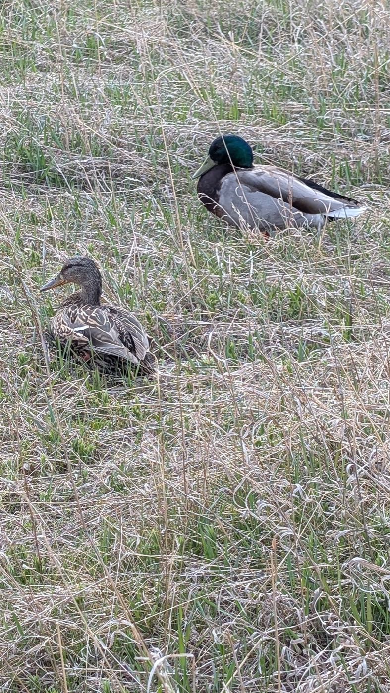
Fish Creek alongside, and Sikome a short drive south
There is no need to drive to reach open space here. Fish Creek Provincial Park was established on 10 June 1975, covers 13.48 km² across 19 kilometres east to west, and is the second largest urban park in Canada. Alberta Parks lists a Sikome aquatic facility day use area and a Bow Valley Ranch day use area with a visitor centre, both a short drive south inside the park.
What the map does not show: this community borders Fish Creek directly rather than a developer-built pond or a civic park a drive away. The honest trade-off is that the community itself has almost no commercial amenity inside its own boundaries: groceries, gyms and shops all mean a short drive into Lake Bonavista or Queensland.
Elsewhere in Calgary, not Deer Run
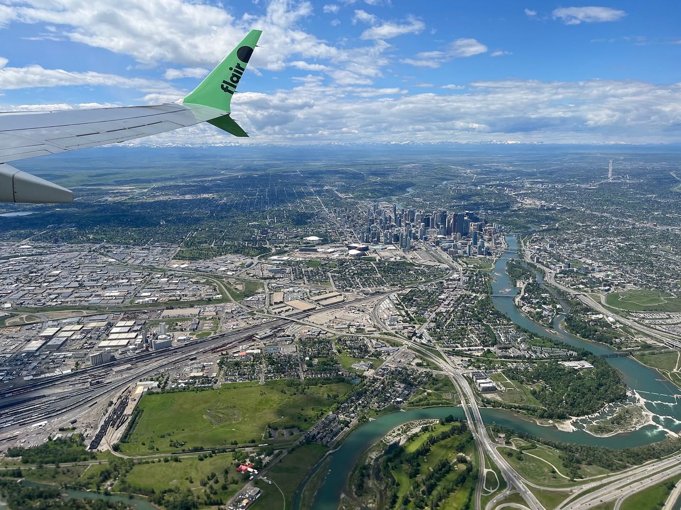


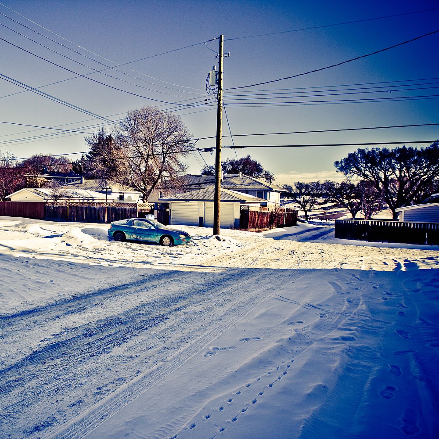
19 places, with real drive times
Road-adjusted distance and drive time from the centre of the community to each destination, nearest first. Filter by category.
Showing 1–12 of 19 places, nearest first.
Method: distances and drive times are estimated from the centre of the community to each destination using Calgary's road grid, and are rounded to honest ranges rather than presented as precise figures. The community's own school and hall are a walk away and the park is the boundary; downtown, the airport and the mountains reflect a genuinely southern address.
Every gym within reach
The community's own centre covers the basics, and the nearest large facility is a short drive into neighbouring Lake Bonavista rather than inside Deer Run itself.
- The Deer Run Community Association's own gym and racquetball court sit inside the community, at 2223 146 Avenue SE
- Fish Creek carries more than 100 km of trails, over 60 of them paved: the free option
- Southcentre Mall carries a cluster of chain gyms and studios at Macleod Trail and Anderson Road
- Shawnessy YMCA, 400-333 Shawville Blvd SE, is the nearest YMCA branch: a genuine drive south
| Facility | What it is | Drive |
|---|---|---|
| Trico Centre for Family Wellness open | The nearest anchor facility, at 11150 Bonaventure Drive SE: a warm beach entrance pool with waves and a hot tub, a fitness centre, a gymnasium and an arena. | 9–13 min |
| Deer Run Community Association open | A dividable gym with exercise equipment and a racquetball court inside the community, plus a paved hockey rink, a pleasure rink, baseball diamonds and soccer fields. Membership is $30 a year. | 1–3 min |
| Fish Creek Provincial Park pathways open | Free option: more than 100 km of trails, over 60 of them paved, including a 19 km central corridor pathway through the park. | 1–2 min |
| Southcentre-area commercial gyms open | Chain clubs and studios clustered around Southcentre Mall at Macleod Trail and Anderson Road. | 10–14 min |
| YMCA at Shawnessy open | Shawnessy YMCA, 400-333 Shawville Blvd SE: the nearest YMCA branch, further south. | 14–18 min |
Confirm before you plan around it. The Community Association's facilities are membership-based rather than drop-in, and Trico Centre and the YMCA both set their own resident and non-resident rates: check current terms before you count on either.
One elementary inside the community, everything else outside it
Deer Run School serves the community for public elementary. Wilma Hansen Junior High and Lord Beaverbrook High School are the two out-of-district schools Wikipedia names for Deer Run; Lord Beaverbrook runs grades 10 to 12 at 9019 Fairmount Drive and had an enrolment of 1,552 in 2022. St. Boniface and St. Bonaventure, which Wikipedia places in neighbouring Lake Bonavista, are the nearest Catholic options.
| School | Board | Note |
|---|---|---|
| Deer Run School | Calgary Board of Education | The public elementary Wikipedia names for the community, with its own site under the board's domain. |
| Wilma Hansen Junior High | Calgary Board of Education | The junior high Wikipedia names for Deer Run, out of district, north of the community. |
| Lord Beaverbrook High School | Calgary Board of Education | Grades 10 to 12 at 9019 Fairmount Drive, founded 1967 with an enrolment of 1,552 in 2022. Deer Run is one of the communities it names. |
| St. Boniface School | Calgary Catholic | Catholic elementary in neighbouring Lake Bonavista, which Wikipedia names for that community. The district's own site refuses automated clients, so the current designation for a Deer Run address is unverified here. |
| St. Bonaventure School | Calgary Catholic | Catholic junior high in neighbouring Lake Bonavista, named the same way and with the same caveat. |
Alberta funds Catholic education the same way it funds public education, so there is no tuition for a resident student at either board. The Calgary Catholic School District's site refuses automated clients, so nothing on the Catholic side here was read from the district itself. Confirm the current designation for a specific address with the board before you buy.
Month by month, what living here looks like
Not a highlights reel: the actual annual rhythm, including the dates residents have to remember.
- The association's paved hockey rink and pleasure rink are the closest skating to home
- Fish Creek's pathways get packed snow and ice. Cleats help on the shaded stretches
- Mule deer move down out of the park into the community's back yards on cold mornings
- Bow Bottom Trail and Deerfoot Trail are the two roads the association names for getting out of the community
- A chinook can clear the outdoor rinks to slush within a day, then it refreezes overnight
- Coyotes are more visible along the park edge as cover thins out
- Family Day weekend keeps the Community Association's gym and racquetball court busy
- Canyon Meadows station, 12.6 km south of downtown, is the nearest Red Line platform on an icy morning
- Fish Creek's pathways turn to mud and meltwater before the park crews catch up
- Spring break sends more traffic toward Sikome Lake's parking lots, though the lake itself is still closed
- Bow Valley Ranch's day use area and visitor centre are an easy walk once the ground dries
- First bare pavement appears on the community's curving streets
- Migratory waterfowl return to the Bow River bend along the park's edge
- Deer Run School and Wilma Hansen both restart outdoor phys-ed once the fields dry out
- Fish Creek's off-leash areas reopen in earnest as trails firm up
- Owls are on the park's species list, and easier to hear at dusk this month
- Community Association baseball and soccer seasons start on the local diamonds and fields
- Traffic toward Fish Creek's Sikome day use area picks up as the swimming season nears
- Goslings appear along the Bow River stretch of the park
- Long evenings make the park pathways the default after-dinner walk
- Sikome's aquatic facility draws traffic from well beyond the community once it opens
- Fish Creek's poplars and pines are in full leaf along the meandering streets
- School year winds down at Deer Run School
- Longest daylight of the year, with light well past 10pm
- Calgary Stampede: ten days, about 20 minutes north on Macleod Trail
- Sikome Lake and Bow Valley Ranche are at their busiest
- Evening thunderstorms roll in off the foothills to the west
- Little-league and soccer seasons run through the Community Association
- Fish Creek's Sikome day use area is at its busiest through the last hot weeks
- Back-to-school traffic builds at Lake Bonavista Village
- Warmest water and driest pathways of the year in Fish Creek Park
- Wildfire smoke can settle over the river valley on windless days
- School year restarts at Deer Run School, Wilma Hansen and Lord Beaverbrook
- The park's day use areas quieten as the swimming season ends
- Aspens and poplars turn early along the park's river-bend stretch
- Migrating geese stage on the Bow River in growing numbers
- First hard frost usually arrives around mid-month
- Snow tires go on before the first real snowfall sticks
- Deer sightings pick up in the community as the rut begins in the park
- Bow Valley Ranche's grounds are a popular fall-colour walk
- Dark settles in by 5pm across the curving streets
- Community Association crews begin prepping the outdoor rinks
- Fish Creek's pathways get their first real ice in shaded stretches
- Cold air pools in the river valley overnight, and the park pathways hold it longest
- Outdoor rinks typically open for the season once the freeze holds
- A chinook can strip the snow off the pathways overnight and bring it back just as fast
- Holiday quiet settles over the curving streets, with Bow Bottom Trail the way in and out
- Shortest days of the year, with sunset before 4:30pm
5 more photographs of the community and its surroundings
All freely licensed, via Wikimedia Commons. Filter by category.


Showing 1–5 of 5 photographs.
About these photographs. Openly licensed images geotagged in or near Deer Run, found on Wikimedia Commons and served from there with full attribution. Inline photos elsewhere on the page may still come from the site's shared Calgary library.