Live in Glacier Ridge
A master-planned community on the city's northwest edge, still classed Developing by the City. Ridge lots, 10 km of planned trails, and almost everything else still arriving.
Glacier Ridge is one of the few Calgary communities the City still classes Developing rather than Established. Its boundary polygon covers 4.57 km² in Ward 2, and neither the 2021 federal census nor the City's last civic census in 2019 carries a row for it, which is as plain a statement of how new it is as the City makes. The builders describe an 832-acre plan with 10 km of trails and pathways, four elementary school sites, one high school site and a residents' association Village of outdoor recreation areas, fire pits and neighbourhood parks. None of them dates any of it. You are buying the plan as much as the house.
The newest edge of the northwest
On the city's far northwest edge, north of Sage Hill and Symons Valley. Ward 2, in the City's North sector, classed Developing. The City publishes the boundary as a polygon of 4.57 km² rather than a street list, and the area structure plan pages this audit tried would not open.
Glacier Ridge is the newest community on this site on the City's own records, and it is the records rather than a builder saying so. It is one of the few communities the City classes Developingrather than Established, in Ward 2 and the North sector, on a boundary polygon of 4.57 km²; the dataset records no community structure for it, where Rangeview's is put in the 2000s and Alpine Park's reads as building out.
Nobody has counted the people here. The 2021 federal census population dataset carries no Glacier Ridge row, and neither does the City's last civic census, run in 2019. There is no published population, no household count and no median income for this community, which is why this page carries none of the figures its neighbours do.
What the builders describe. An 832-acre plan with 10 km of trails and pathways, four elementary school sites and one high school site, and a residents' association Village of outdoor recreation areas, communal fire pits and neighbourhood parks. Note that the City's own polygon is larger than the plan area, at 4.57 km² against 3.37. Note also that not one of the builders puts a date on the Village, on a school, or on anything else. This page treats plans as plans.
- No school and no construction date from any publisher: designations are outside the community and will change
- The residents' association Village has no opening date anywhere. Until it opens, recreation is a drive
- Construction is the normal state for years yet
- Downtown is around 23 km southeast; there is no rail here
How Glacier Ridge got here
- 2019The City's last civic census carries no Glacier Ridge row. Nobody was counted here.
- 2021The federal census population dataset carries no row for Glacier Ridge either, so the community has no published population.
- PlannedThe builders describe 832 acres, 10 km of trails and pathways, four elementary school sites and one high school site, and a residents' association Village with outdoor recreation areas, communal fire pits and neighbourhood parks. No publisher this audit opened puts a date on any of it.
- 2026The City still classes Glacier Ridge Developing, in Ward 2 and the North sector, on a boundary polygon of 4.57 km².

Ten kilometres of trails, arriving in phases
The builders describe 10 km of trails and pathways through green spaces and playgrounds. Some of it is built. Nose Hill Park, over 11 km² of native rough fescue grassland created in 1980, is the nearest large park, southeast via Shaganappi Trail.
What the map does not show: walk the built trail before believing the render. What exists is good, and what is coming is a drawing. Price them differently.
Elsewhere in Calgary, not Glacier Ridge
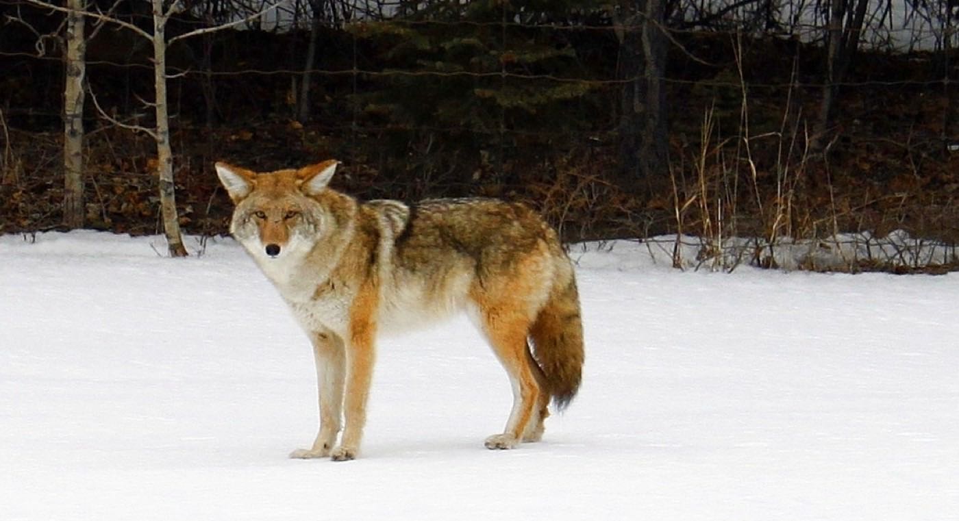
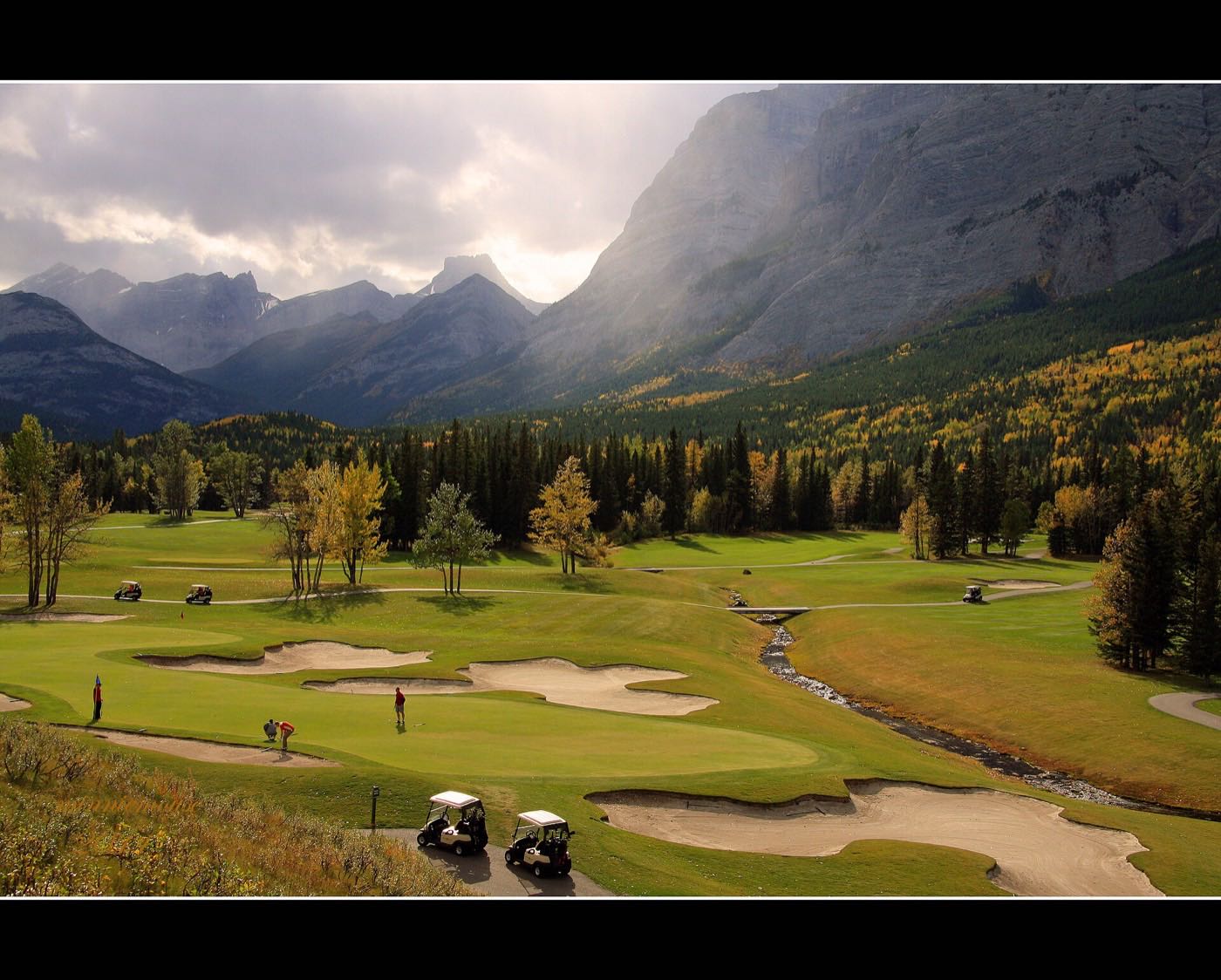
11 places, with real drive times
Road-adjusted distance and drive time from the centre of the community to each destination, nearest first. Filter by category.
Showing 1–11 of 11 places, nearest first.
Method: distances and drive times are estimated from the centre of the community to each destination using Calgary's road grid, and are rounded to honest ranges rather than presented as precise figures. Everything below assumes the drive.
Every gym within reach
Until the residents' association Village opens, the Rocky Ridge YMCA is the honest answer. YMCA Calgary publishes addresses and hours but no facility list, so confirm what is inside before you count on it.
- Open 5:30 a.m. to 10 p.m. on weekdays and 7 a.m. to 8 p.m. at weekends
- YMCA Calgary lists no facilities per branch. Ask before you assume a pool or a track
- Beacon Hill's commercial clubs are the near option, though nobody publishes a list of them
- The trail segments built so far are the free option today
| Facility | What it is | Drive |
|---|---|---|
| Shane Homes YMCA at Rocky Ridge open | YMCA Calgary's health and fitness branch at 11300 Rocky Ridge Rd NW, open 5:30 a.m. to 10 p.m. weekdays and 7 a.m. to 8 p.m. at weekends. YMCA Calgary publishes addresses and hours but no per-branch facility list. | 11–16 min |
| Beacon Hill clubs open | Commercial gyms in the retail district south on Sarcee Trail. No publisher this audit opened lists them. | 8–12 min |
| Community trails open | Free option: the trail segments built so far. | 1–3 min |
| The Village (planned) closed | The builders describe outdoor recreation areas, fire pits and neighbourhood parks under a residents' association, with no opening date anywhere. Do not budget around it. | 1–4 min |
Do not sign anything that assumes the Village. It has no date from anyone; the YMCA has an address and posted hours.
Five sites, zero schools, yet
The builders describe five reserved school sites, four elementary and one high school, which is genuinely unusual. None has a construction date from any publisher this audit opened. Until then, students designate outside the community and busing rules apply.
| School | Board | Note |
|---|---|---|
| No school open inside the community | Both boards | The builders describe five reserved school sites, four elementary and one high school. None has a construction date from any publisher this audit opened, and no school is open. Students designate to schools outside the community. |
| Calgary Board of Education designations | Calgary Board of Education | Assigned outside the community. Confirm the current designation and busing in writing before you buy. |
| Calgary Catholic School District designations | Calgary Catholic | Also assigned outside the community. The district's own site refuses automated clients, so ask the district directly. |
Alberta funds Catholic education the same way it funds public education, so there is no tuition for a resident student at either board. The Catholic district's site refuses automated clients, so nothing here was read from it. Get the current designation and busing in writing from both boards before you buy.
Month by month, what living here looks like
Not a highlights reel: the actual annual rhythm, including the dates residents have to remember.
- Ridge wind is the winter's defining feature: there is nothing built west of here to break it
- Priority snow routes keep the main roads clear
- Indoor recreation carries the season
- Long dark evenings, but rarely for weeks at a stretch
- Ski traffic west on the Trans-Canada peaks on Friday and Sunday
- Coldest snaps usually break with a chinook
- Noticeably longer light by month end
- Indoor pools at their busiest
- Melt and refreeze on the side streets: ice cleats weather
- Pathways reopen as the snow goes
- First patio afternoons on the warm chinook days
- Street sweeping begins late in the month
- Construction season restarts across the unbuilt phases
- Pathway and park season opens properly
- Garden centres open across the quadrant
- Migratory birds return to the parks
- Long evenings: sunset past 9pm by month end
- Lilacs and crabapples through the first-built streets
- Field sport seasons start on the community greens
- First genuinely warm stretches
- Peak daylight at the solstice: over 16 hours
- School year ends and the parks fill
- Evening thunderstorms begin building over the foothills
- Farmers' markets open for the season
- Calgary Stampede: ten days across the city
- Hottest month, with cool nights at this elevation
- Evening thunderstorms roll off the foothills
- Canada Day events in the parks
- Folk Festival on Prince's Island mid-month
- Kananaskis and Banff at their best, straight west
- Quietest weeks before school returns
- Smoke from western wildfires is possible
- New-phase completions cluster before winter
- First frost typically arrives late in the month
- Poplar and aspen colour begins
- Evenings shorten fast
- Autumn colour is thin here: the street trees are barely a decade old
- First snow is normal, and normally melts
- Snow tires go on across the quadrant
- Nose Hill's grasses turn gold
- Ski season opens west on the Trans-Canada
- Dark by 5pm
- Freeze sets in for good
- Holiday retail season begins
- Chinook arches over the western skyline on clear days
- Holiday lights through the community streets
- Outdoor rinks open when the freeze holds
- Quiet, short days between the holidays
29 more photographs of Calgary and the region
Drawn from the site's shared, freely licensed Calgary photo library, not photographs of Glacier Ridge itself. Filter by category.
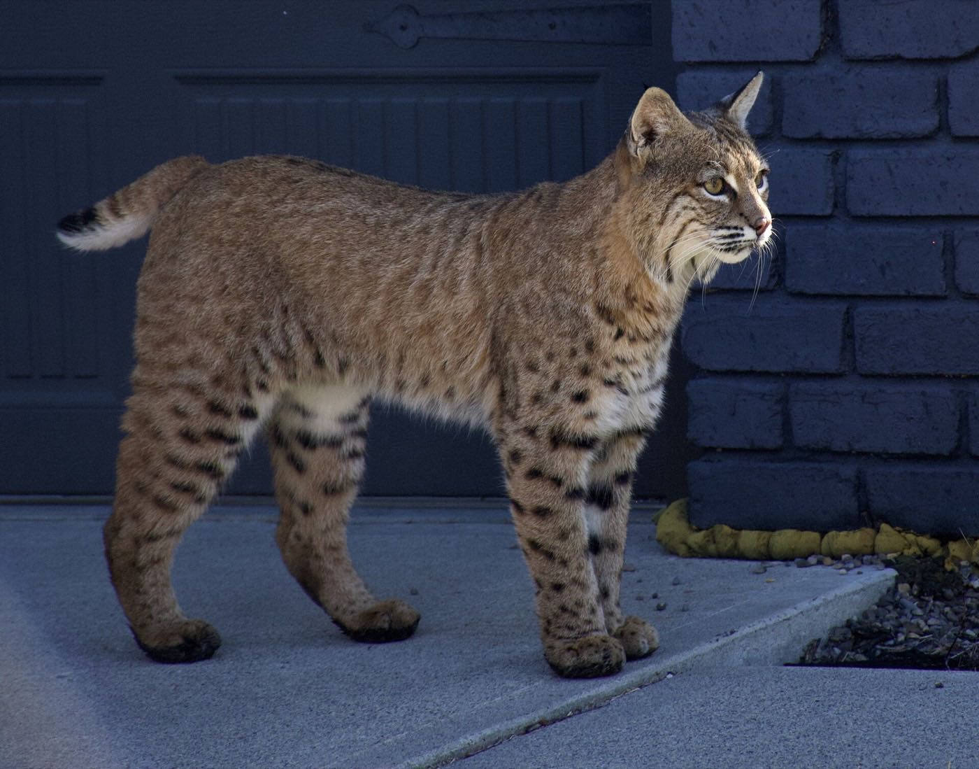
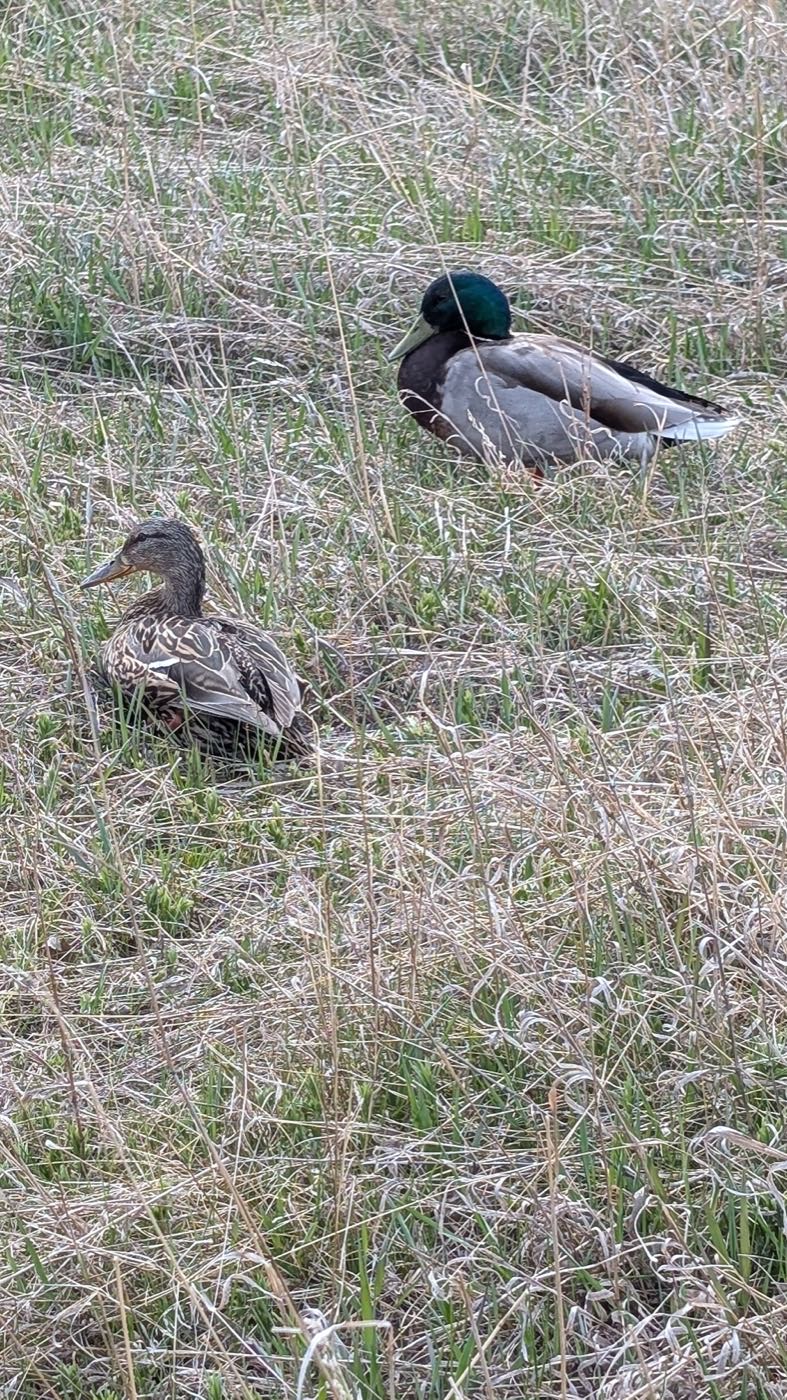
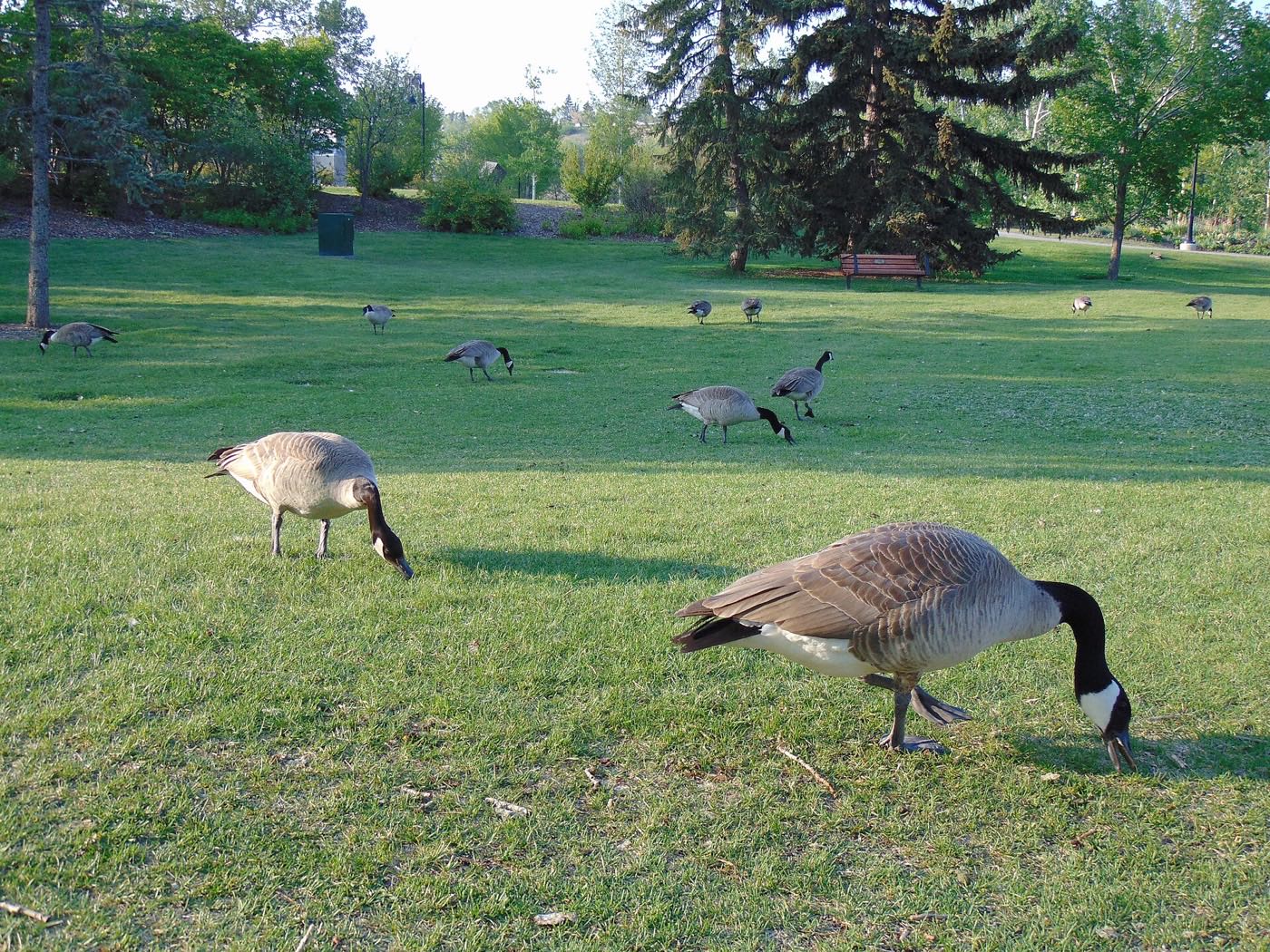
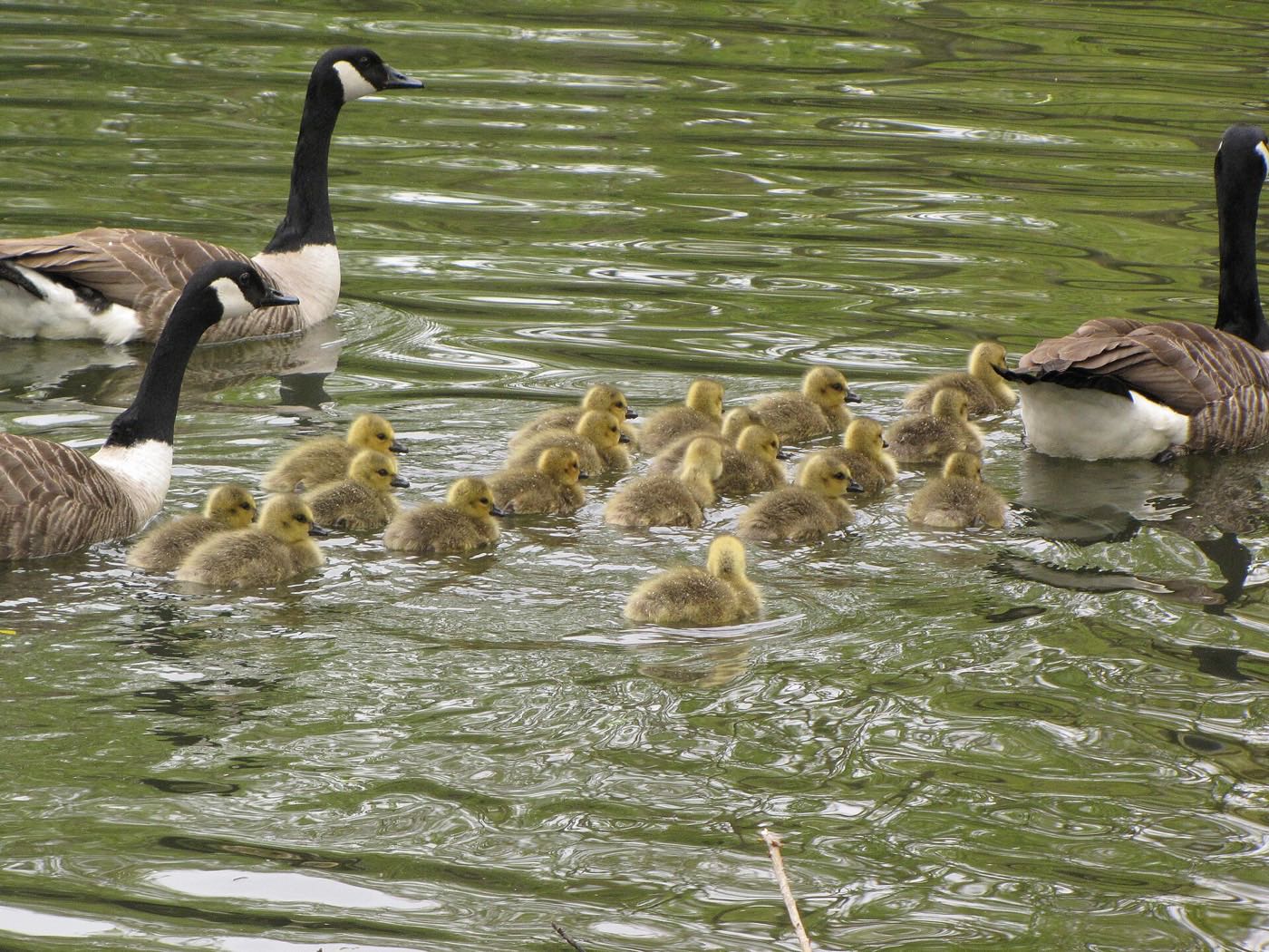


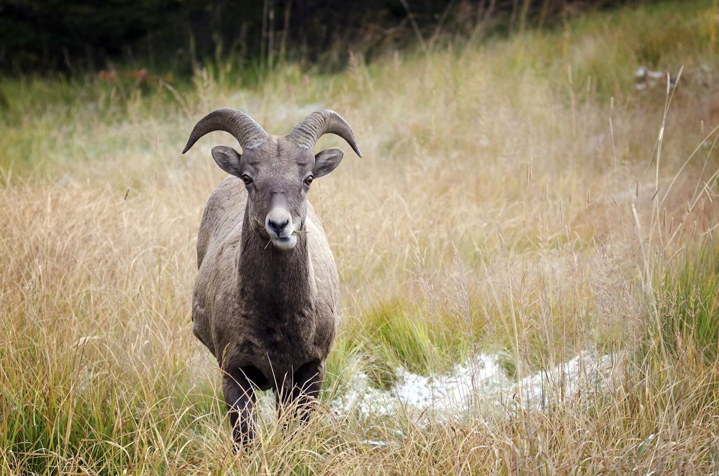
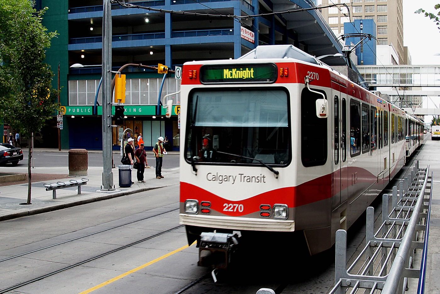
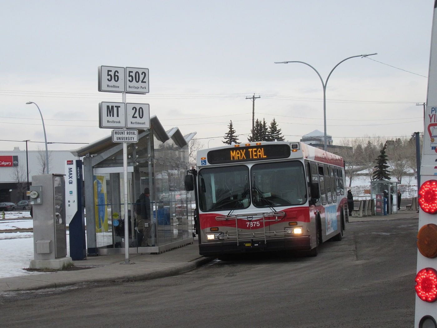
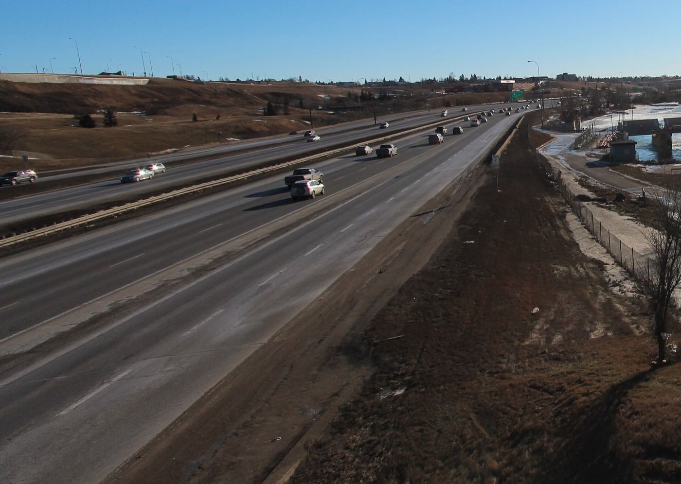

Showing 1–12 of 29 photographs.
Honesty note. This page uses only the general Calgary, seasonal, Alberta-wildlife and day-trip photography from the site's shared library. Nothing here is presented as a photograph of Glacier Ridge itself.