
Live in Edgemont
A community built over ravines on Nose Hill's northwest shoulder. Big, prosperous and genuinely international.
Edgemont began development in 1978 and grew into one of the largest communities in the quadrant: 15,255 residents in 5,335 private households at the 2021 census, across 6.6 km² of ridge and ravine. Median household income was $121,000 for 2020, and 46 per cent of residents were immigrants, against 33 per cent across Calgary. Much of Edgemont is physically a northwest extension of Nose Hill, with steep escarpments at its southeast end, and the ravine pathways stitch its seven named sub-areas together.
Ravines, views, and fifteen thousand neighbours
Bounded south by John Laurie Boulevard, west by Sarcee Trail, north by Country Hills Boulevard and east by Shaganappi Trail. Ward 4.
Edgemont began development in 1978 and built out in seven named sub-areas across 6.6 km² of ridge and ravine on Nose Hill's shoulder. From oldest to newest they run Edgemont Estates, Edgedale, Edenwold, Edgepark, Edgevalley, Edgebrook and Edgeridge. The 2021 census counted 15,255 residents in 5,335 private households, one of the quadrant's largest.
It is prosperous and genuinely international: median household income of $121,000 in 2020 against the city's $98,000, 16% of households renting, and 46% of residents immigrants against 33% across Calgary. Wikipedia still carries the 2000 figure of 33.9%, which the 2021 census has left well behind.
The land is the luxury. Much of Edgemont is physically a northwest extension of Nose Hill, as Wikipedia puts it, with steep escarpments at the southeast end. The park itself covers 1,129 hectares of native rough fescue grassland and is the fourth largest urban park in Canada.
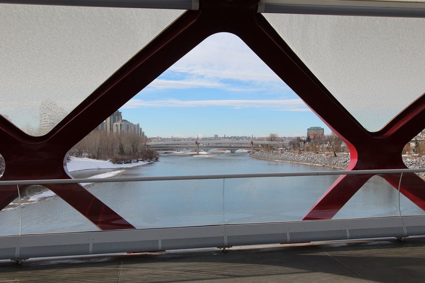
- 46% of occupied dwellings were built between 1981 and 1990 and 31% between 1991 and 2000. Have plumbing and mechanicals inspected at that age
- Ravine and slope lots need drainage and foundation attention in an inspection
- Big community, thin transit: Dalhousie station at 4785 Dalhousie Drive NW is a drive, and only 7% of commuters take transit
- Sarcee and Shaganappi carry real traffic on two boundaries, and the association's own profile notes the community is more wind exposed than its neighbours
How Edgemont got here
- 1978Development begins on Nose Hill's northwest shoulder.
- 1980Nose Hill Park is established on the community's southeastern side, 1,129 hectares of native rough fescue grassland and the fourth largest urban park in Canada. The Edgemont Community Association registers as a provincial society on 3 March.
- 1981 to 2000The bulk of the community goes up: 46 per cent of the dwellings occupied in 2021 date from 1981 to 1990 and another 31 per cent from 1991 to 2000. The seven sub-areas run Edgemont Estates, Edgedale, Edenwold, Edgepark, Edgevalley, Edgebrook and Edgeridge, oldest to newest.
- 2003Dalhousie station opens on 15 December on the Red Line, at 4785 Dalhousie Drive NW, 9 km northwest of the 7 Avenue and 9 Street SW interlocking.
- 2019The City's last civic census counts 15,395 residents in 5,437 dwellings, 5,316 of them occupied.
- 2021The federal census records 15,255 residents in 5,335 private households, 46 per cent of them immigrants, against 33.9 per cent recorded in 2000.
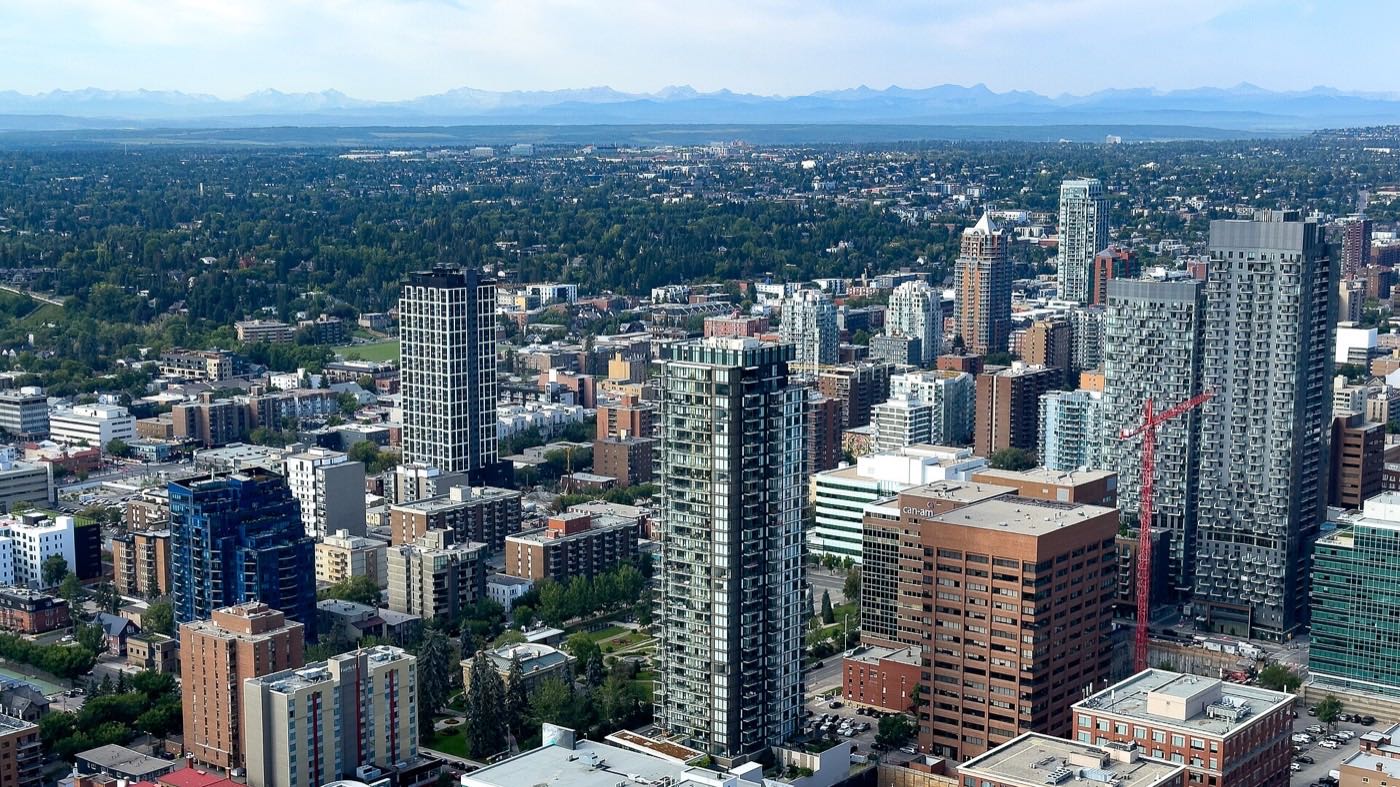
The community that merges into the park
Edgemont's ravine system is its signature. Coulee pathways link the seven sub-areas and climb onto Nose Hill Park, established in 1980 after a grassroots campaign kept houses off it: 1,129 hectares running from 1,125 to 1,230 m, with 66 native plant species and 198 identified wildlife species.
What the map does not show: walk the ravine behind a specific house before you buy it. The same coulee that gives the view also carries the wind.
Elsewhere in Calgary, not Edgemont


13 places, with real drive times
Road-adjusted distance and drive time from the centre of the community to each destination, nearest first. Filter by category.
Showing 1–12 of 13 places, nearest first.
Method: distances and drive times are estimated from the centre of the community to each destination using Calgary's road grid, and are rounded to honest ranges rather than presented as precise figures. Internal distances are short; the community's size means the far corner adds five minutes to everything.
Every gym within reach
No civic recreation centre inside the community: the ravines, the association's own centre and a belt of options around it. Confirm hours before you count on anything.
- The Crowfoot Library is a separate address, at 8665 Nose Hill Drive NW, not inside the YMCA
- The University of Calgary's recreation facilities are south via Shaganappi Trail
- The association's centre at 33 Edgevalley Circle NW has a gym, a 200-capacity hall and hardwood floors used for yoga and dance
- The ravines and Nose Hill's 1,129 hectares are the free option, from every sub-area
| Facility | What it is | Drive |
|---|---|---|
| Melcor YMCA at Crowfoot open | YMCA Calgary's Crowfoot branch at 8100 John Laurie Blvd NW. The Crowfoot Library is a separate address, at 8665 Nose Hill Drive NW. | 8–11 min |
| University of Calgary Active Living open | The university's recreation facilities, south via Shaganappi Trail. Its membership terms were not read from a publisher in this audit. | 10–15 min |
| Edgemont ravine pathways open | Free option: the ravine network climbs straight onto Nose Hill Park's 1,129 hectares. | 1–3 min |
| Edgemont Community Association open | The community centre at 33 Edgevalley Circle NW: a 200-capacity main hall, meeting rooms, a gym, a commercial kitchen, hardwood floors used for yoga and dance, a fireplace and a preschool. | 2–4 min |
The ravine network is a real trail system. Hill repeats without leaving the community.
Elementary and junior inside, Churchill beyond
Wikipedia names Edgemont Elementary and Tom Baines Junior High on the public side and Mother Mary Greene Elementary on the Catholic side, with secondary students attending Sir Winston Churchill High School or St. Francis High School. Tom Baines describes itself as serving the Edgemont and Hamptons community.
| School | Board | Note |
|---|---|---|
| Edgemont School | Calgary Board of Education | Edgemont Elementary, the public elementary Wikipedia names inside the community. |
| Tom Baines School | Calgary Board of Education | The public junior high Wikipedia names for Edgemont. Its own site describes it as serving the Edgemont and Hamptons community. |
| Sir Winston Churchill High School | Calgary Board of Education | The public senior high Wikipedia names for Edgemont students. Its own Wikipedia article could not be resolved in this audit, so no grades or enrolment are given here. |
| Mother Mary Greene School | Calgary Catholic | Mother Mary Greene Elementary, the Catholic elementary Wikipedia names, with St. Francis High School for the Catholic senior grades. The district's own site refuses automated clients. |
Alberta funds Catholic education the same way it funds public education, so there is no tuition for a resident student at either board. The Calgary Catholic School District's site refuses automated clients, so nothing on the Catholic side here was read from the district itself. Confirm the designation for a specific address. A community this size has internal catchment lines.
Month by month, what living here looks like
Not a highlights reel: the actual annual rhythm, including the dates residents have to remember.
- Ravine paths ice first and melt first: the chinook cycle in miniature
- The association's hall at 33 Edgevalley Circle NW carries the indoor programme through the cold
- Indoor recreation carries the season
- Long dark evenings, at 1,236 m at the community's reference point
- Ski traffic west on the Trans-Canada peaks on Friday and Sunday
- Coldest snaps usually break with a chinook
- Noticeably longer light by month end
- Indoor pools at their busiest
- Melt and refreeze on the side streets: ice cleats weather
- Pathways reopen as the snow goes
- First patio afternoons on the warm chinook days
- Street sweeping begins late in the month
- Last hard frosts: planting waits for the May long weekend
- Pathway and park season opens properly
- Garden centres open across the quadrant
- Migratory birds return to the parks
- Long evenings: sunset past 9pm by month end
- Lilacs and crabapples through the older streets
- Field sport seasons start on the community greens
- First genuinely warm stretches
- Peak daylight at the solstice: over 16 hours
- School year ends and the parks fill
- Evening thunderstorms begin building over the foothills
- Farmers' markets open for the season
- Calgary Stampede: ten days across the city
- Hottest month, with cool nights at this elevation
- Evening thunderstorms roll off the foothills
- Canada Day events in the parks
- Folk Festival on Prince's Island mid-month
- Kananaskis and Banff at their best, straight west
- Quietest weeks before school returns
- Smoke from western wildfires is possible
- School year restarts and morning traffic thickens
- First frost typically arrives late in the month
- Poplar and aspen colour begins
- Evenings shorten fast
- The ravines turn gold a week before the streets do
- First snow is normal, and normally melts
- Snow tires go on across the quadrant
- Nose Hill's rough fescue grassland turns gold
- Ski season opens west on the Trans-Canada
- Dark by 5pm
- Freeze sets in for good
- Holiday retail season begins
- Chinook arches over the western skyline on clear days
- Holiday lights through the community streets
- Outdoor rinks open when the freeze holds
- Quiet, short days between the holidays
1 more photograph of the community and its surroundings
All freely licensed, via Wikimedia Commons. Filter by category.

Showing 1–1 of 1 photographs.
About these photographs. Openly licensed images geotagged in or near Edgemont, found on Wikimedia Commons and served from there with full attribution. Inline photos elsewhere on the page may still come from the site's shared Calgary library.