Live in Harvest Hills
A 1987 community around a public pond, where the golf course closed in 2016 and 12% of the housing has gone up since 2016 on and around its ground.
Harvest Hills was established in 1987 on land annexed in 1979, between Deerfoot Trail and Harvest Hills Boulevard. The City's boundary polygon covers 2.17 km², and the 2021 census counted 7,805 residents in 2,860 private households, 84% of them owners. Seventy-two per cent of the occupied stock dates from the 1990s, but a further 12% went up between 2016 and 2021, which is the golf course redevelopment showing up in the census: the course shut in early 2016 with demolition planned for late 2016 and early 2017. Median household income was $104,000 in 2020 against $98,000 across Calgary.
The pond, the old course, and the new streets on it
Bounded east by Deerfoot Trail, south by Beddington Trail, north by Country Hills Boulevard and west by Harvest Hills Boulevard. Ward 3, in the City's North sector, classed Established with a 1980s and 1990s community structure. Wikipedia files it under the northeast quadrant.
Harvest Hills was established in 1987 on land annexed in 1979, with development starting in the early 1980s under the Calgary North Area Structure Plan. At the 2021 census it held 7,805 residents in 2,860 private households on a boundary polygon of 2.17 km², with 84% of households owning and a median household income of $104,000 in 2020 against the city's $98,000.
The community's defining recent event is the former golf course. It shut down in early 2016, with demolition planned for late 2016 and early 2017, and the land redeveloped for housing in the northeast corner. You can read that straight off the census: 72% of the occupied stock dates from 1991 to 2000, only 4% from the whole of 2001 to 2010, and then 12% from 2016 to 2021. Three quarters of the community is one vintage and an eighth of it is brand new.
The pond and green spine remain the daily amenity, and Deerfoot on the eastern boundary makes this one of the quickest airport addresses in the city. Vivo, a charity-run recreation centre at 11950 Country Village Link NE with pools, ice arenas, climbing walls and a library branch, is a few minutes north.
- 12% of the housing stock is from 2016 to 2021 and sits on and around the old course. Construction has been the community's normal state
- 72% of the stock dates from 1991 to 2000: verify poly-B plumbing and the first roof replacement
- Deerfoot borders the east: backing streets hear it
- Renters here pay a median $1,800 a month against $1,350 citywide, and only 16% of households rent
- No publisher this audit opened names a school inside the community. Confirm designations with both boards
How Harvest Hills got here
- 1979The land is annexed to the City of Calgary.
- 1980sDevelopment begins as part of the Calgary North Area Structure Plan.
- 1987Harvest Hills is established.
- 1991–2000The bulk of the community is built: 72% of its occupied dwellings date from this decade.
- 2016The Harvest Hills golf course shuts down in early 2016, with demolition planned for late 2016 and early 2017 and the land redeveloped for housing in the northeast corner.
- 2016–2021Twelve per cent of the community's occupied dwellings are built in these years, after four per cent in the whole of 2001 to 2010.
- 2021The federal census counts 7,805 residents in 2,860 private households, with a median household income of $104,000 in 2020 against $98,000 across Calgary, and 84% of households owning.
More water than the north usually gets
The pond and its green spine run the community's centre, looped with pathway and geese included, and Nose Creek's valley pathway runs the Deerfoot edge. No publisher this audit opened describes the pond's size or who owns it, so what follows is the shape of the place rather than a specification.
What the map does not show: the pond loop plus the creek pathway make a genuine daily circuit, and the new streets on the old course ground are adding connections as they build.
Elsewhere in Calgary, not Harvest Hills

10 places, with real drive times
Road-adjusted distance and drive time from the centre of the community to each destination, nearest first. Filter by category.
Showing 1–10 of 10 places, nearest first.
Method: distances and drive times are estimated from the centre of the community to each destination using Calgary's road grid, and are rounded to honest ranges rather than presented as precise figures. Deerfoot compresses the airport run; downtown remains a real commute.
Every gym within reach
Vivo is the anchor; the pond is the habit. Vivo is a charity rather than a City facility, so it is not on the City's list of pools and its own hours are the ones to check.
- Leisure and lane pools, hot tub, sauna and steam room, ice arenas, climbing and bouldering walls, gymnasiums and a Calgary Public Library branch
- Thornhill Aquatic & Recreation Centre at 6715 Centre St. N.W. is the nearest City facility
- The pond loop is the free option
- The creek pathway adds the long run
| Facility | What it is | Drive |
|---|---|---|
| Vivo for Healthier Generations open | A charity-run centre at 11950 Country Village Link NE: leisure and lane pools, hot tub, sauna and steam room, ice arenas, a fitness centre, climbing and bouldering walls, gymnasiums and sport courts, fitness studios, an indoor park and a Calgary Public Library branch. | 4–7 min |
| Thornhill Aquatic & Recreation Centre open | City aquatic and recreation centre at 6715 Centre St. N.W., listed with a pool, dive tank, hot tub, steam room, weights and cardio and a fitness studio. | 8–12 min |
| Pond loop and green spine open | Free option: the water and green corridor through the community's centre. | 1–3 min |
| Country Hills district clubs open | Commercial gyms in the Town Centre district. No publisher this audit opened lists them. | 3–6 min |
Vivo membership is the practical default. Everything else is a specific need.
No school inside the boundary that any publisher names
No publisher this audit opened names a school inside Harvest Hills, and Wikipedia's article on the community names none at all. North Trail High School is the nearest board senior high whose page this audit could open, with Advanced Placement and Career & Technology Studies, though it publishes no grade range and no feeder list.
| School | Board | Note |
|---|---|---|
| No school inside the community | Both boards | No publisher this audit opened names a school inside Harvest Hills. Wikipedia's article on the community names none at all. Students designate outside the boundary. |
| North Trail High School | Calgary Board of Education | A board senior high north of the community with Advanced Placement and Career & Technology Studies. Its own page names no grade range, feeder schools or communities, so the designation is unconfirmed here. |
| Catholic designations | Calgary Catholic School District | The district's site refuses automated clients and nothing this audit opened names a Catholic school serving Harvest Hills. Confirm the designation directly. |
| Redevelopment note | Both boards | Twelve per cent of the community's occupied dwellings were built between 2016 and 2021, on and around the closed golf course. Designations here are more likely than most to shift. |
Alberta funds Catholic education the same way it funds public education, so there is no tuition for a resident student at either board. The Catholic district's site refuses automated clients, so nothing on that side was read from the district itself. Confirm for a specific address, and recheck yearly. Twelve per cent of the housing here arrived between 2016 and 2021, which makes these designations more mobile than most.
Month by month, what living here looks like
Not a highlights reel: the actual annual rhythm, including the dates residents have to remember.
- The pond freezes over at the centre of the community
- Priority snow routes keep the main roads clear
- Indoor recreation carries the season
- Long dark evenings, but rarely for weeks at a stretch
- Ski traffic west on the Trans-Canada peaks on Friday and Sunday
- Coldest snaps usually break with a chinook
- Noticeably longer light by month end
- Vivo's leisure and lane pools are at their busiest
- Melt and refreeze on the side streets: ice cleats weather
- Pathways reopen as the snow goes
- First patio afternoons on the warm chinook days
- Street sweeping begins late in the month
- Last hard frosts: planting waits for the May long weekend
- Pathway and park season opens properly
- Garden centres open across the quadrant
- Migratory birds return to the parks
- Long evenings: sunset past 9pm by month end
- Lilacs and crabapples through the streets built in the 1990s
- Field sport seasons start on the green spine through the community
- First genuinely warm stretches
- Peak daylight at the solstice: over 16 hours
- School year ends and the parks fill
- Evening thunderstorms begin building over the foothills
- Farmers' markets open for the season
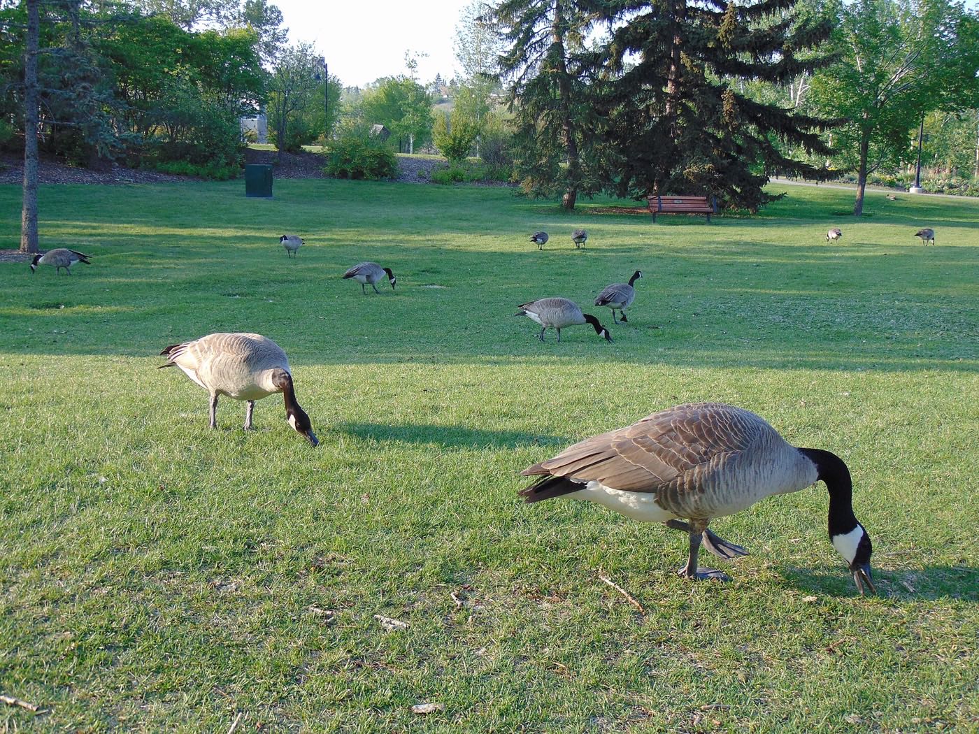
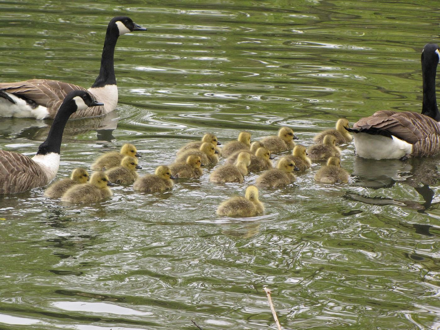
- Geese own the pond edge: give them their metre
- Hottest month, with cool nights at 1,070 m
- Evening thunderstorms roll off the foothills
- Canada Day events in the parks
- Folk Festival on Prince's Island mid-month
- Kananaskis and Banff at their best, straight west
- Quietest weeks before school returns
- Smoke from western wildfires is possible
- School year restarts and morning traffic thickens
- First frost typically arrives late in the month
- Poplar and aspen colour begins
- Evenings shorten fast
- Peak autumn colour through the 1990s streets, while the post-2016 blocks are still bare
- First snow is normal, and normally melts
- Snow tires go on across the quadrant
- Nose Creek's valley grasses turn gold along the Deerfoot edge
- Ski season opens west on the Trans-Canada
- Dark by 5pm
- Freeze sets in for good
- Holiday retail season begins
- Chinook arches over the western skyline on clear days
- Holiday lights through the community streets
- Vivo's ice arenas carry the season indoors
- Quiet, short days between the holidays
30 more photographs of Calgary and the region
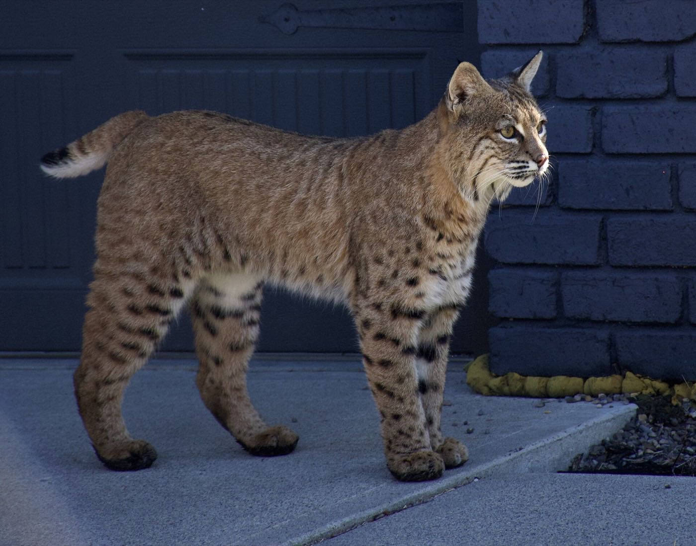
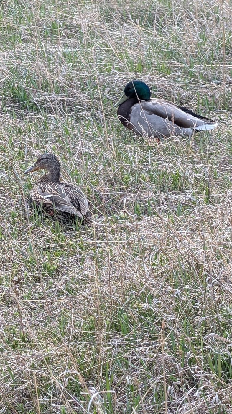
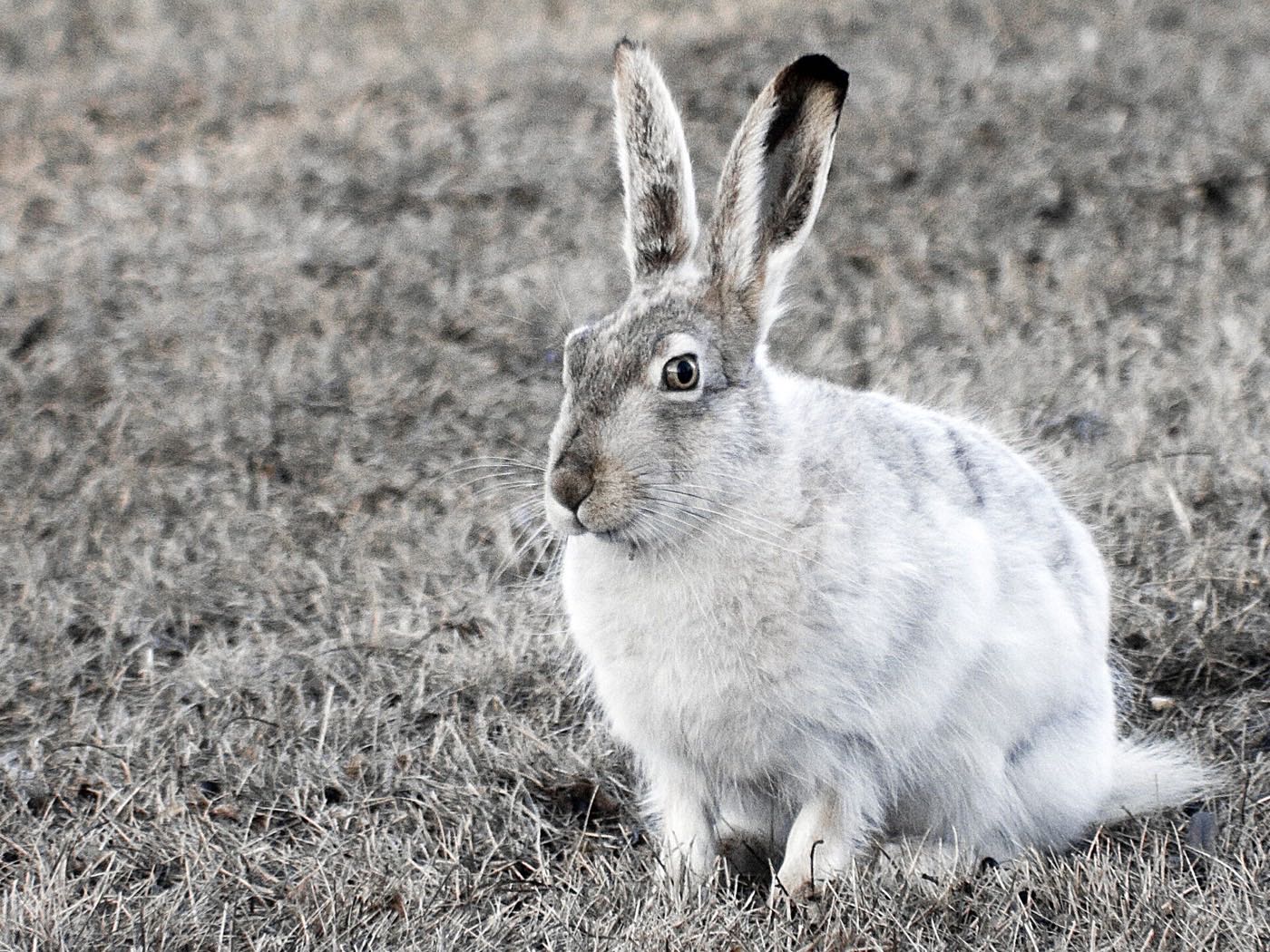
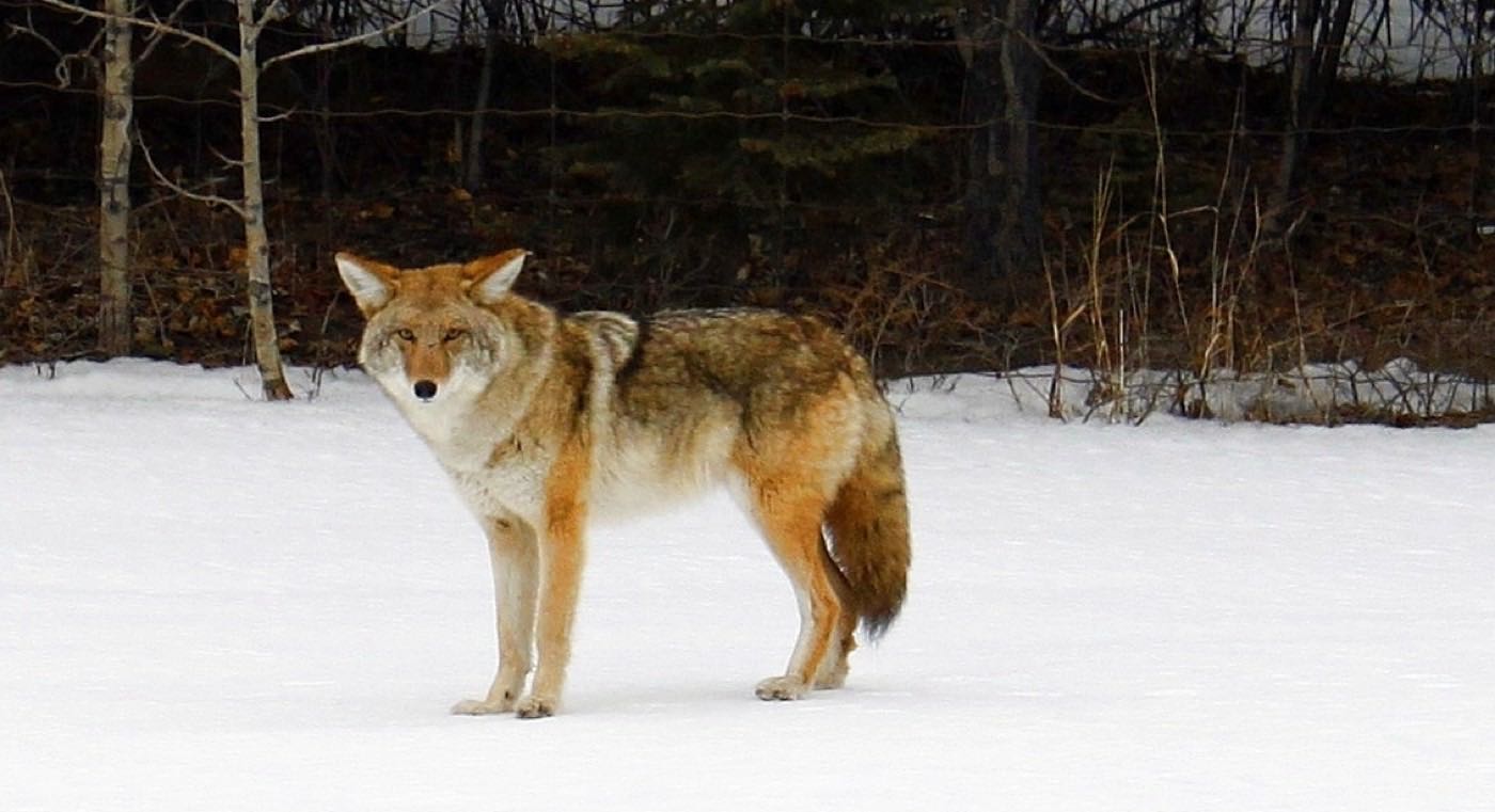
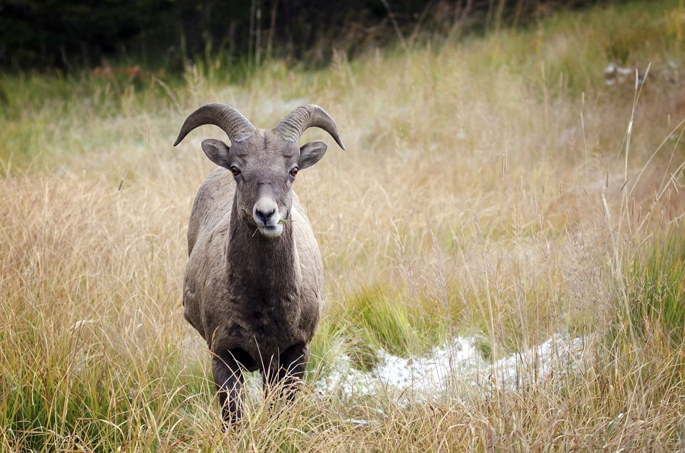
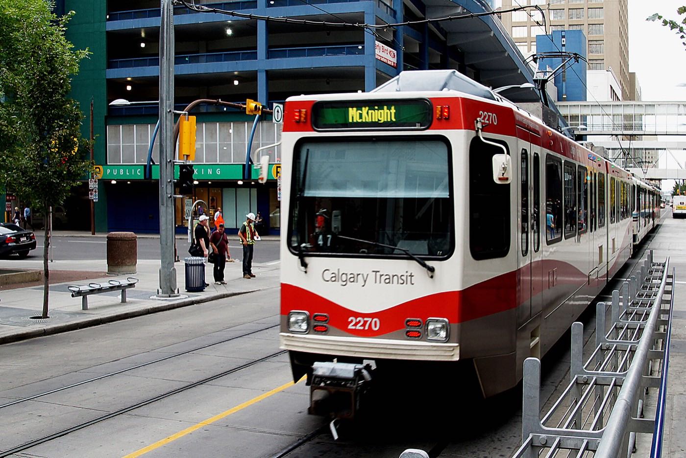
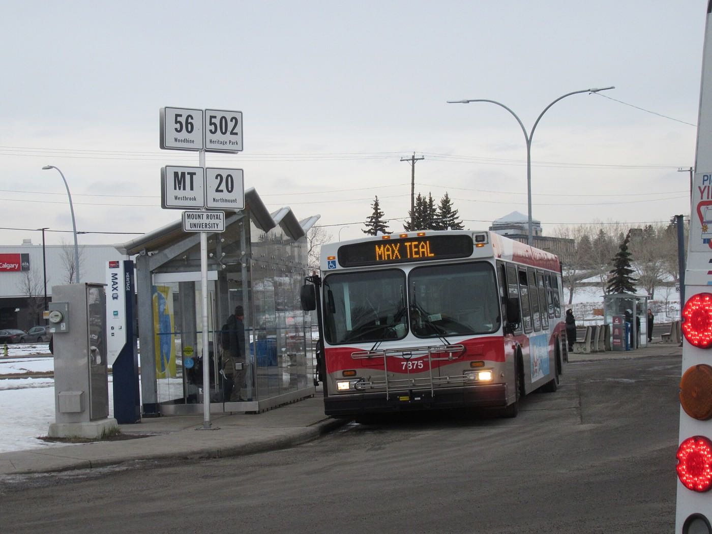
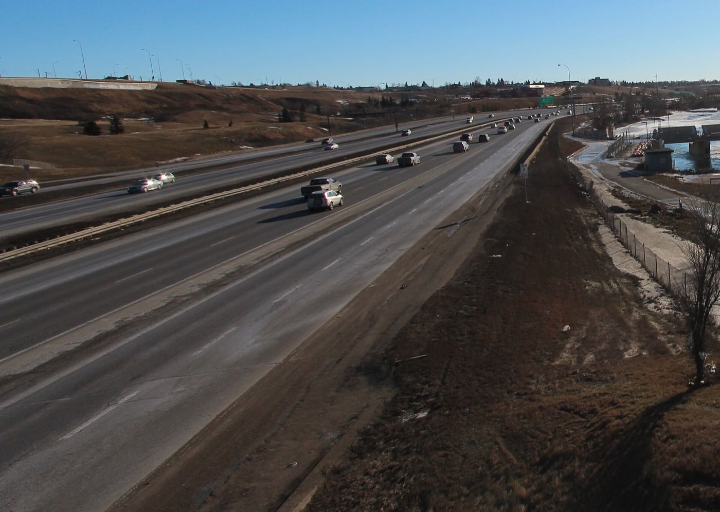
Drawn from the site's shared, freely licensed Calgary photo library, not photographs of Harvest Hills itself. Filter by category.



Showing 1–12 of 30 photographs.
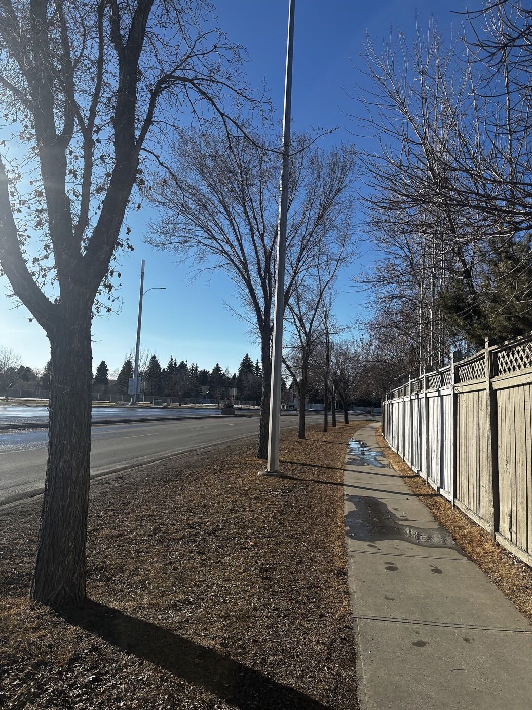
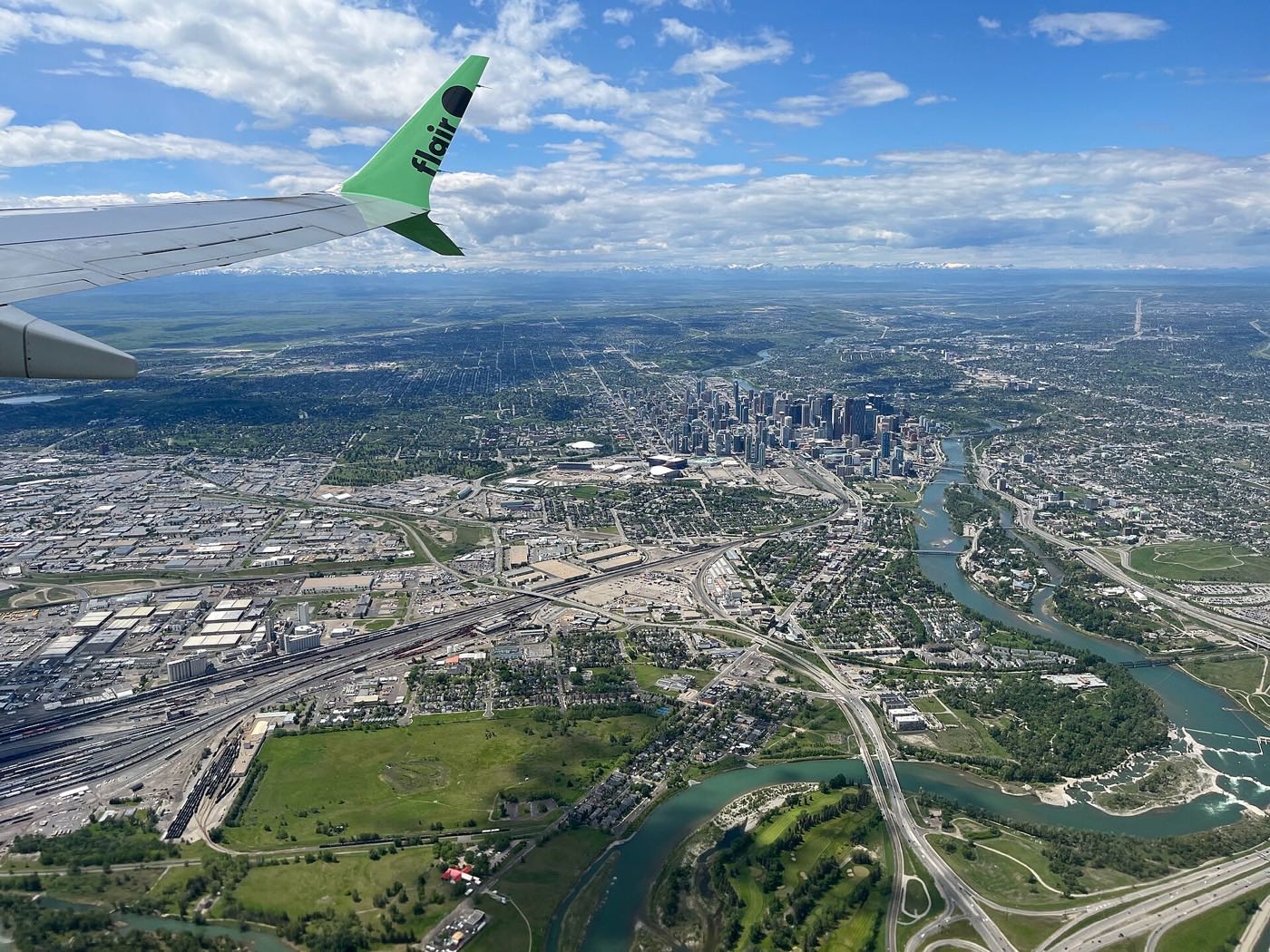
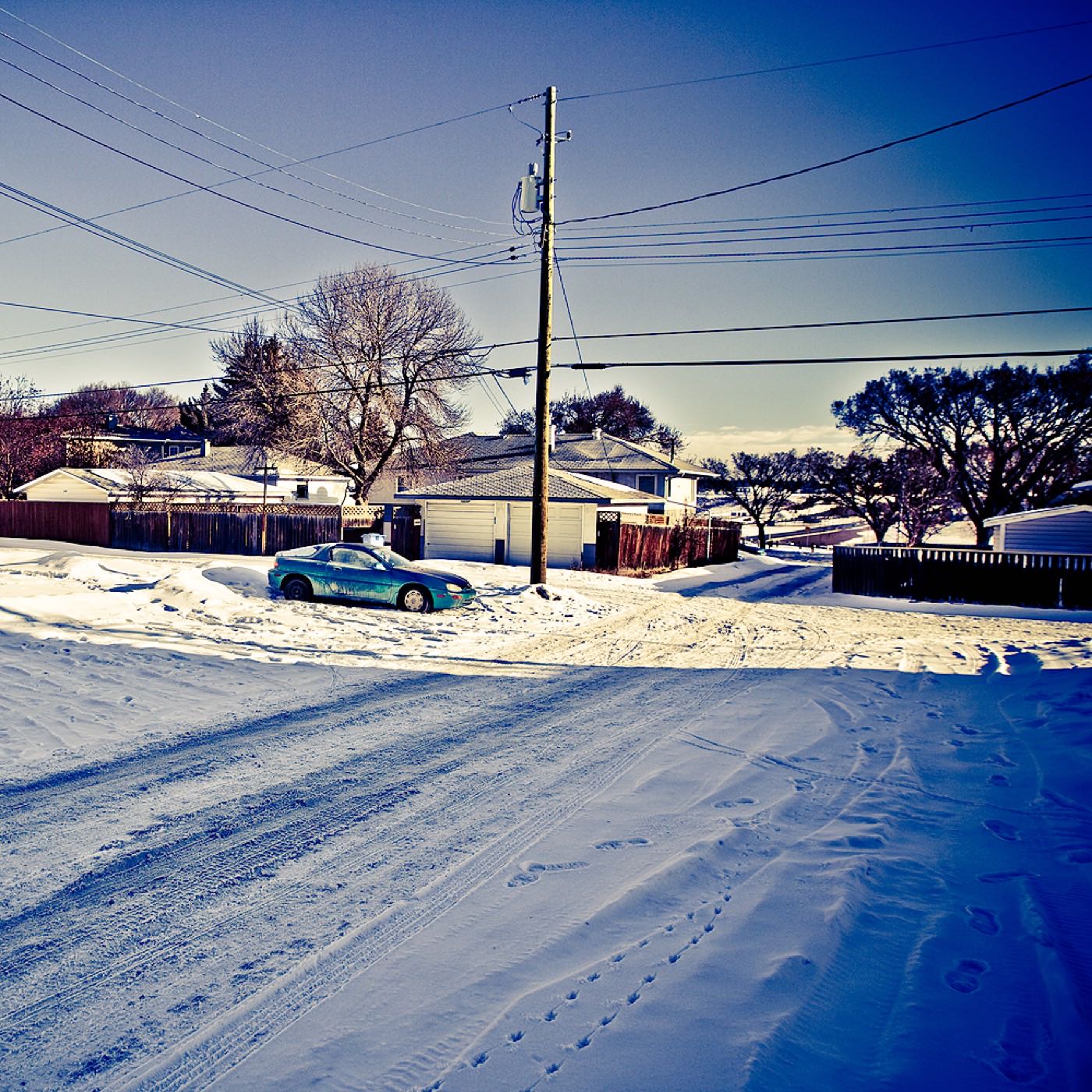
Honesty note. This page uses only the general Calgary, seasonal, Alberta-wildlife and day-trip photography from the site's shared library. Nothing here is presented as a photograph of Harvest Hills itself.