
Live in Redstone
A community at the city's northern edge that went up almost entirely in one decade: 97 per cent of its occupied dwellings date from 2011 or later, and 63 per cent of its residents are immigrants.
Redstone sits at Calgary's northern boundary between Stoney Trail and Métis Trail, on a 1.94 km² City polygon in Ward 5. Wikipedia's article is a stub and records only that it was not yet populated at the 2012 municipal census. What happened next is in the City's own figures: 5,844 residents at the 2019 civic census, then 9,050 in 2,665 private households at the 2021 federal one. Ninety-seven per cent of those occupied dwellings were built in 2011 or later, and seventy per cent of them between 2016 and 2021. Average household size is 3.4 against 2.6 citywide, 63 per cent of residents are immigrants against 33 per cent, and no school operates inside the community.
The northern edge, built out faster than almost anywhere else
Bounded north by Stoney Trail, east by 60 Street NE, south by 128 Avenue NE and the community of Skyview Ranch, and west by Métis Trail NE. Wikipedia and the Federation of Calgary Communities name the same four edges, though the Federation swaps north and south. Ward 5, in the City's Northeast sector.
Wikipedia's article on Redstone is a stub. It records the boundaries, the ward, and one fact about the community's past: that Redstone was not yet populated at the City's 2012 municipal census. It carries no founding year, no developer and no acreage, and Qualico's own Calgary page names no individual communities, so the 2010 launch, the 360 acres, the Participarks and the garden-lot homes this guide used to describe are gone from it.
It is an edge community, bounded by Stoney Trail to the north, Métis Trail NE to the west, 60 Street NE to the east, and 128 Avenue NE and Skyview Ranch to the south, in Ward 5. The City's own boundary polygon is 1.94 km², a third larger than the 360-acre figure this guide used to give, and the reference point sits at 1,101 m.
Growth. What the census can see is a community built in one decade. 27% of its occupied dwellings date from 2011 to 2015 and 70% from 2016 to 2021: 97% since 2011. The City's last civic census, in 2019, counted 5,844 residents; the 2021 federal census counted 9,050 in 2,665 private households. Half the stock is single-detached and average household size is 3.4 people against the citywide 2.6, with 23% of households at five or more people against 10% across Calgary.
Who lives here. 63% of residents were immigrants at the 2021 count, against 33% citywide, and only 40% speak English most often at home against 75% across Calgary. Median household income was $100,000 in 2020, just above the city's $98,000. 78% of households own against 22% renting, though 30% spend 30% or more of income on shelter, above the citywide 23%.
- No school operates inside the community, and this audit found no publisher confirming the planned CBE and Catholic ones, their addresses or their opening dates. Treat the school question as open
- Homes are almost entirely new-build, so none of the older-community issues around original furnaces or wiring apply here
- The Redstone Community Association registered provincially in December 2021, and the Federation lists no hall, no facilities and no programmes for it
- Being this far north puts CrossIron Mills closer than Sunridge Mall, but adds real minutes to a downtown commute: only 15% of workers here get to work in under fifteen minutes, against 21% citywide
- Retail inside the community is limited to Redstone Plaza; most bigger errands mean a short drive to Cityscape or Country Hills Village
- Airport flight paths are a real consideration across the northeast. Visit at different times of day
How Redstone got here
- 2011The first building period the census can see: 710 of the occupied dwellings counted in 2021, 27 per cent, date from 2011 to 2015.
- 2012Wikipedia records that Redstone was not yet populated as of the City of Calgary's 2012 municipal census. Its article carries nothing else: no founding year, no developer, no acreage.
- 2016The second and much larger one: 1,870 more, 70 per cent of the community's occupied stock, built between 2016 and 2021.
- 2019The last civic census the City ran counts 5,844 residents in 1,828 dwellings, 1,468 of them occupied and 1,373 owner-occupied.
- 2021The federal census counts 9,050 residents in 2,665 private households, average size 3.4 persons against 2.6 for Calgary. Seventy-eight per cent own, 63 per cent of residents are immigrants, and only 40 per cent speak English most often at home.
- 2021The Redstone Community Association registers as a provincial society on 21 December. The Federation of Calgary Communities lists no hall, no facilities and no programmes for it, and no federal charity status.
Internal pathways, and the northeast's bigger civic parks a drive away
Redstone's own open space is its internal pathway network. The Participark and its permanent outdoor circuit-training equipment are part of the community's own story, but this audit opened no publisher describing either, so go and look before you count on it. There is no river valley or provincial park at this edge of the city; the bigger civic parks, Prairie Winds Park and Elliston Park, sit well south.
What the map does not show: the honest trade here is scale. What Redstone has is walkable and free, its own pathways, but the destination parks and Chestermere Lake are both a real drive, not a short one, from this far north in the quadrant.
Elsewhere in Calgary, not Redstone
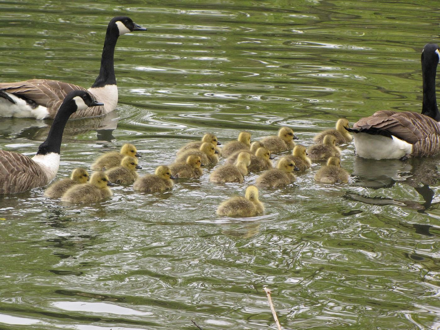
19 places, with real drive times
Road-adjusted distance and drive time from the centre of the community to each destination, nearest first. Filter by category.
Showing 1–12 of 19 places, nearest first.
Method: distances and drive times are estimated from the centre of the community to each destination using Calgary's road grid, and are rounded to honest ranges rather than presented as precise figures. Redstone's numbers are shaped by its position at the very north of the city: CrossIron Mills is closer than most Calgary malls, and downtown is one of the longer commutes on this site's northeast pages.
Every gym within reach
The community is served by two large facilities north and south of it rather than a cluster inside its own boundaries, plus chain gyms in the surrounding retail nodes. Confirm hours before you count on any of them.
- Vivo, 11950 Country Village Link N.E., is a registered charity rather than a City site: leisure and lane pools, arenas, gymnasiums, sport courts, climbing walls and a library branch, and no indoor track
- Genesis Centre is the quadrant's other anchor, but this audit opened no publisher page for it, so treat its facility list as unverified
- Anytime Fitness serves the immediate Redstone and Skyview Ranch area; no publisher page was opened for it either
- The community's own pathway network is the free option
| Facility | What it is | Drive |
|---|---|---|
| Vivo for Healthier Generations open | 11950 Country Village Link N.E.: a registered Canadian charity, not a City facility, with a leisure pool, lane pool, hot tub, sauna and steam room, a fitness centre with three studios, arenas, gymnasiums, sport courts, climbing walls and a library branch. It lists no indoor running track. | 11–17 min |
| Genesis Centre open | Northeast recreation hub. This audit opened no publisher page for it, so treat its facility list as unverified. | 10–15 min |
| Village Square Leisure Centre open | 2623 56 St. N.E.: wave pool, dive tank, hot tub, steam room, water slides, weights and cardio, a fitness studio, a gymnasium and two arenas. | 15–22 min |
| Anytime Fitness, Redstone/Skyview Ranch open | 24-hour chain gym serving the T3N postal area immediately around the community. This audit opened no publisher page for it, so confirm it is still there and check its hours. | 3–5 min |
| GoodLife Fitness, Country Village open | National chain club in the Country Village / Harvest Hills area, north-central Calgary. This audit opened no publisher page for it, so confirm it is still there and check its hours. | 12–18 min |
| Redstone Participark open | Free option: the community's pathway network. No publisher this audit opened describes the outdoor circuit-training equipment. | 1–3 min |
Village Square is a real drive from here. It is the City's own leisure centre in the northeast, at 2623 56 St. N.E. with a wave pool, water slides, a gymnasium and two arenas, but at fifteen to twenty-two minutes it is not a casual trip from this far north.
No school inside the community yet: designations sit outside it for now
No school operates inside Redstone, and this audit opened no publisher confirming the planned CBE and Calgary Catholic schools, their addresses, their funding or their opening dates, so those figures are gone. The schools students here travel to are outside the community: Peter Lougheed, a junior high that opened in 2016 in Saddle Ridge, and Nelson Mandela High School at 45 Saddletowne Circle N.E., grades 10 to 12 with an enrolment of 1,936 in 2024. Nelson Mandela's own article names Saddle Ridge, Taradale and Martindale as the communities it serves, and Redstone is not among them.
| School | Board | Note |
|---|---|---|
| Nelson Mandela High School | Calgary Board of Education | 45 Saddletowne Circle N.E., open since 6 September 2016, grades 10 to 12, enrolment 1,936 in 2024. Its own article names Saddle Ridge, Taradale and Martindale as the communities it serves, and Redstone is not among them. |
| Peter Lougheed School | Calgary Board of Education | A junior high that opened in 2016 in Saddle Ridge, per Wikipedia's Saddle Ridge article. Nothing published prints an attendance area covering Redstone. |
| Bishop McNally High School | Calgary Catholic | Catholic senior high in northeast Calgary. The district's site refuses automated clients, so nothing here was read from the district itself. |
| Schools inside Redstone | Both boards | No school operates inside the community. This audit opened no publisher confirming the planned Calgary Board of Education or Calgary Catholic schools this guide used to name, their addresses, their funding or their opening dates, so those claims are gone. The Calgary Board of Education publishes designations only through an address search: check your own address. |
Alberta funds Catholic education the same way it funds public education, so there is no tuition for a resident student at either board. Confirm the current designation and busing arrangement for a specific address with the board before you buy: the Calgary Board of Education publishes designations only through an address search, the Catholic district's site refuses automated clients, and with no school open inside Redstone this is the single biggest open question for a family moving here.
Month by month, what living here looks like
Not a highlights reel: the actual annual rhythm, including the dates residents have to remember.
- Chinooks reach the far north of the city last and weakest of anywhere in Calgary
- Stoney Trail is a priority snow route, so access holds up
- Vivo and Genesis Centre carry the indoor season
- Open prairie north of Stoney Trail means real wind exposure
- Coldest stretches usually break with a chinook by month end
- Indoor recreation at Genesis and Vivo at its busiest
- Longer daylight becomes noticeable
- Airport-adjacent traffic on Métis Trail is the winter bottleneck
- Melt and refreeze on side streets through the newer phases
- The community's pathways reopen for the season
- Construction traffic resumes on unbuilt lots as the ground thaws
- First patio afternoons at Redstone Plaza on the warm days
- New-build move-ins pick up again for the season
- Last hard frosts: planting waits until the long weekend
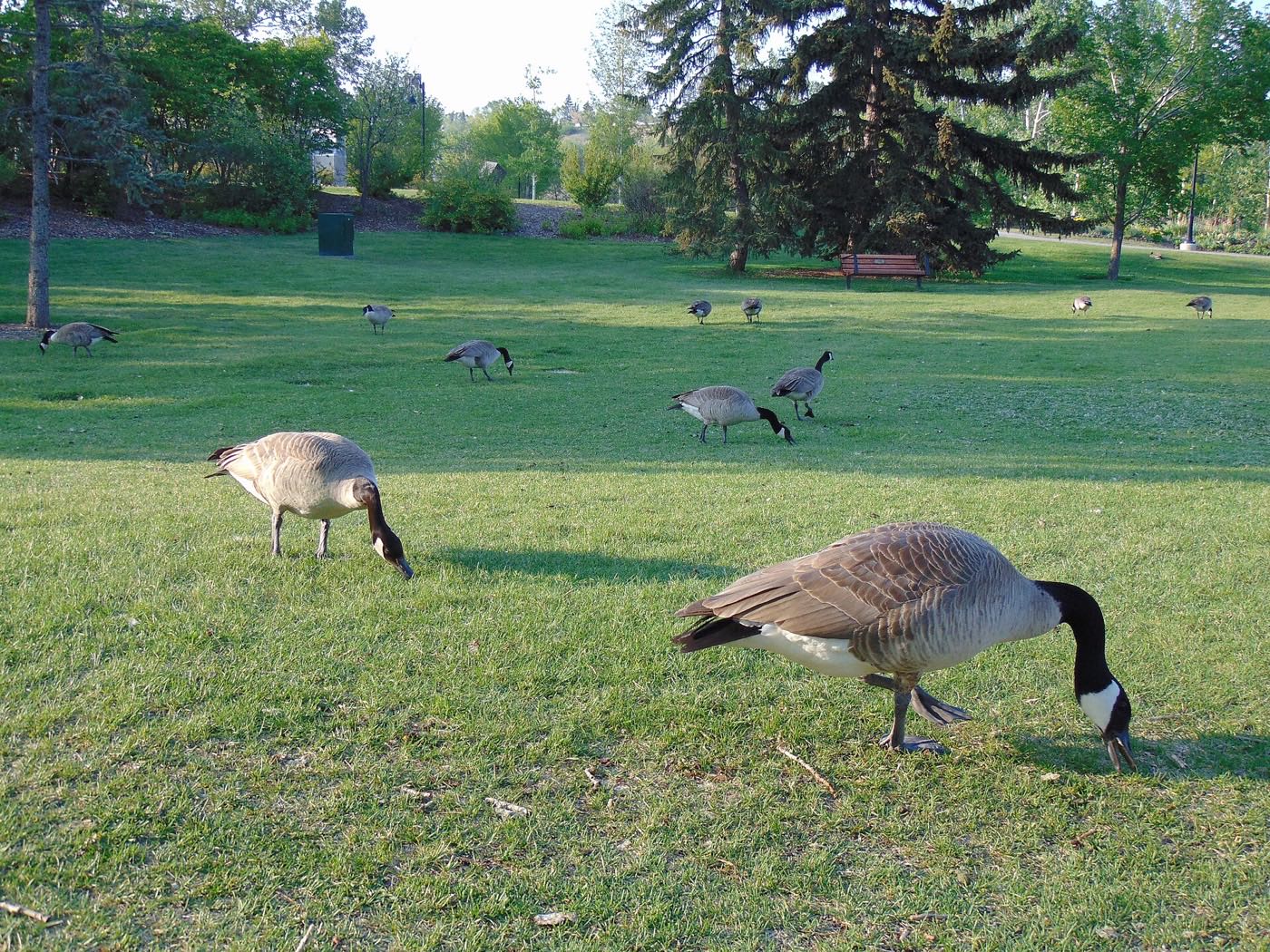
- Migratory birds return to the community's stormwater ponds
- Street sweeping clears the winter gravel
- Long evenings: sunset past 9pm by month end
- Field sport seasons start on the community's shared greens
- Hail season begins: the northeast gets more than its share
- The community association, registered in December 2021, is still building out its programme list
- Peak daylight at the solstice: over 16 hours
- School year ends at the schools students here bus or drive to, every one of them outside the community
- Thunderstorm season fully under way
- New-phase construction in full swing on the community's unbuilt edges
- Calgary Stampede: ten days, a genuine drive from this far north
- Evening thunderstorms roll in from the west
- Hottest month, with little mature tree shade in the newer phases
- CrossIron Mills busy with summer shoppers
- Quietest weeks before school returns
- Harvest traffic increases on the highways north of the city
- Warmest stretch on the community's pathway network
- New-home possession dates cluster before the fall
- School year restarts at schools outside the community, since none operates inside it
- First frost typically arrives late in the month
- Redstone Plaza and Country Hills Village busiest with back-to-school
- Prairie colour turns north of Stoney Trail
- First snow is normal, and normally melts
- Snow tires go on
- Construction on unbuilt phases winds down for the season
- Shorter evenings noticeable by mid-month
- Dark by 5pm
- Indoor recreation season restarts at Vivo and Genesis Centre
- Holiday retail season begins at CrossIron Mills
- Freeze sets in on the community's stormwater ponds
- Holiday lights through the newer streets and show homes
- Quiet across the community over the break
- CrossIron Mills at its busiest for holiday shopping
- Chinooks, when they come, arrive late and weak this far north
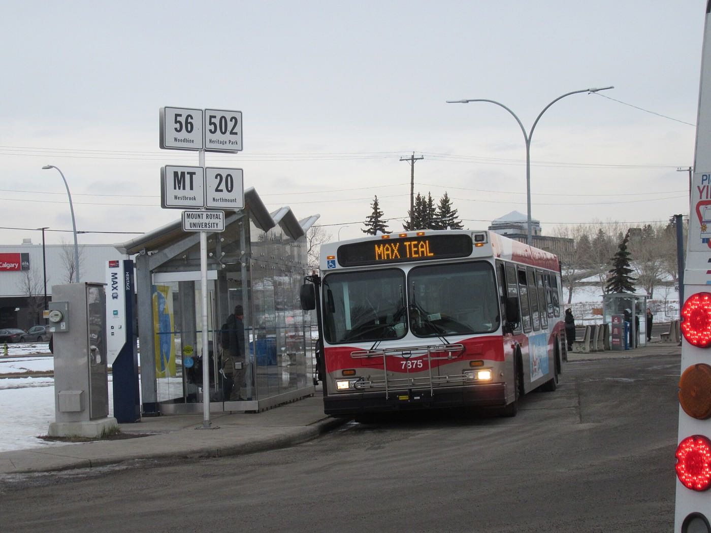
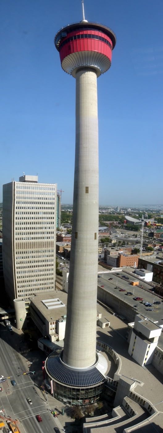
29 more photographs of Calgary and the region
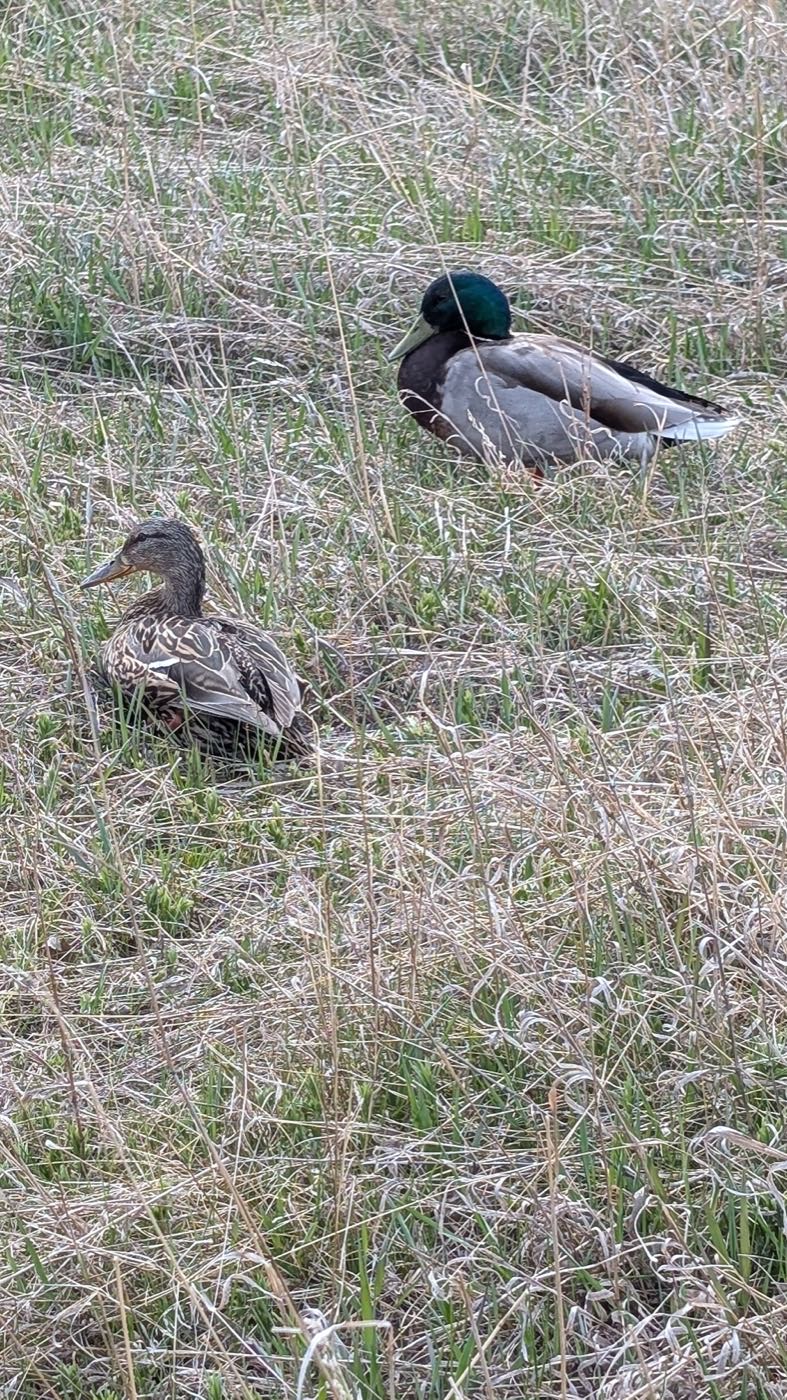
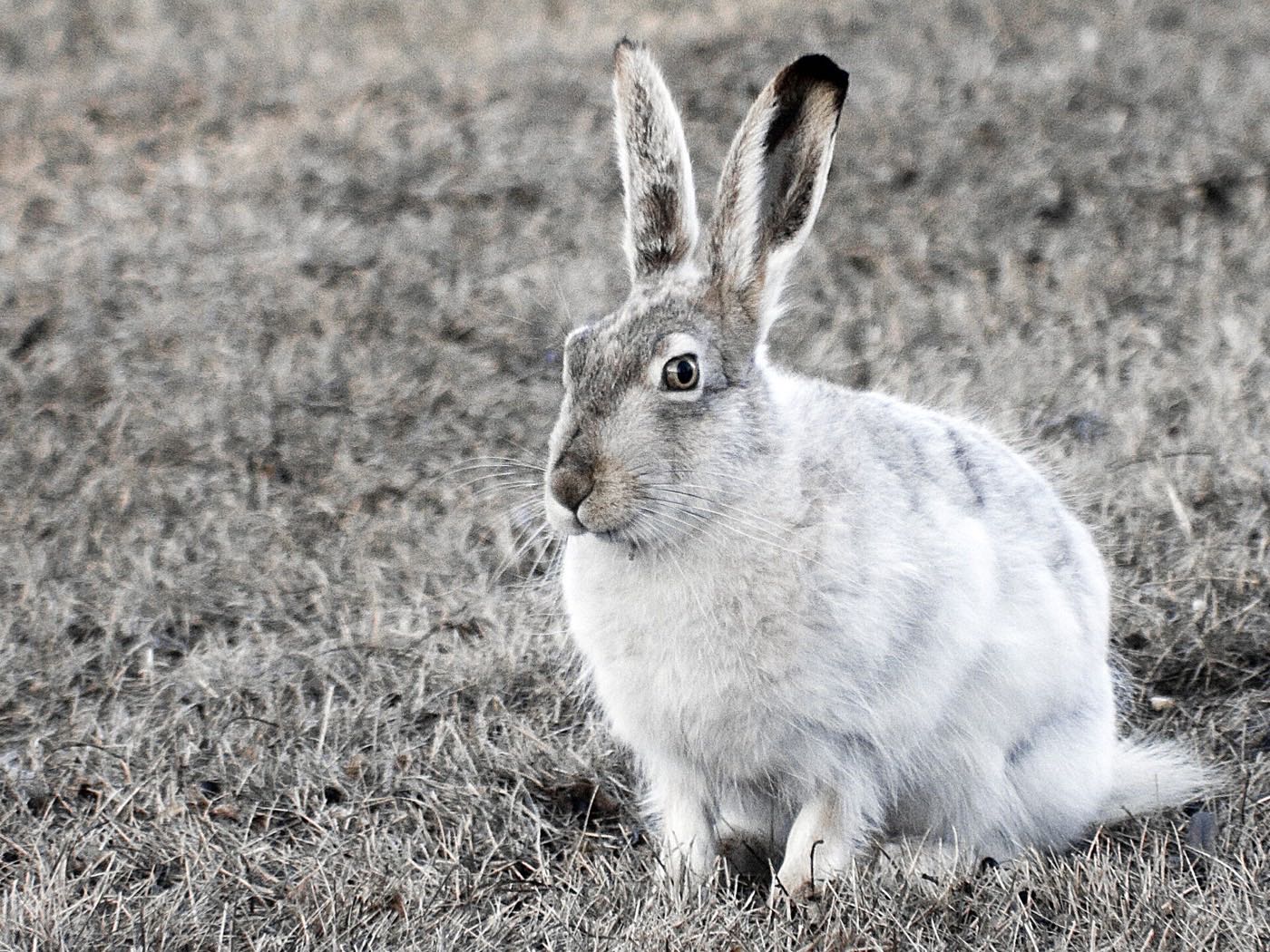
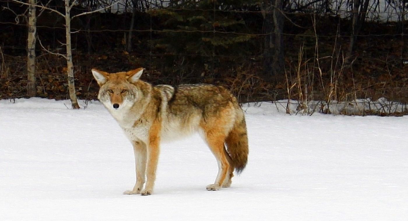
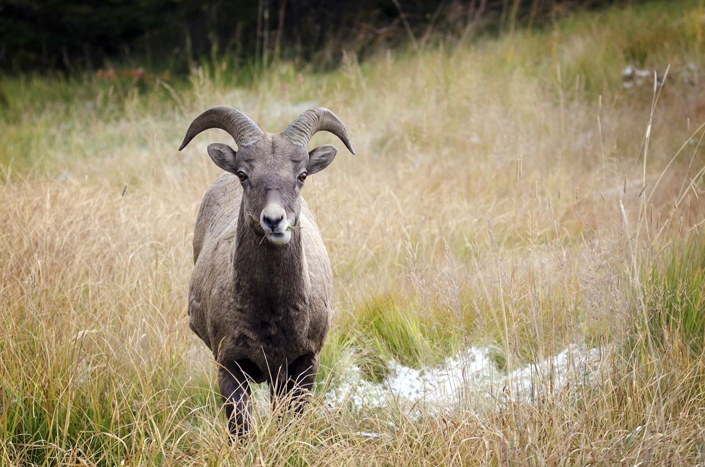
Drawn from the site's shared, freely licensed Calgary photo library, not photographs of Redstone itself. Filter by category.
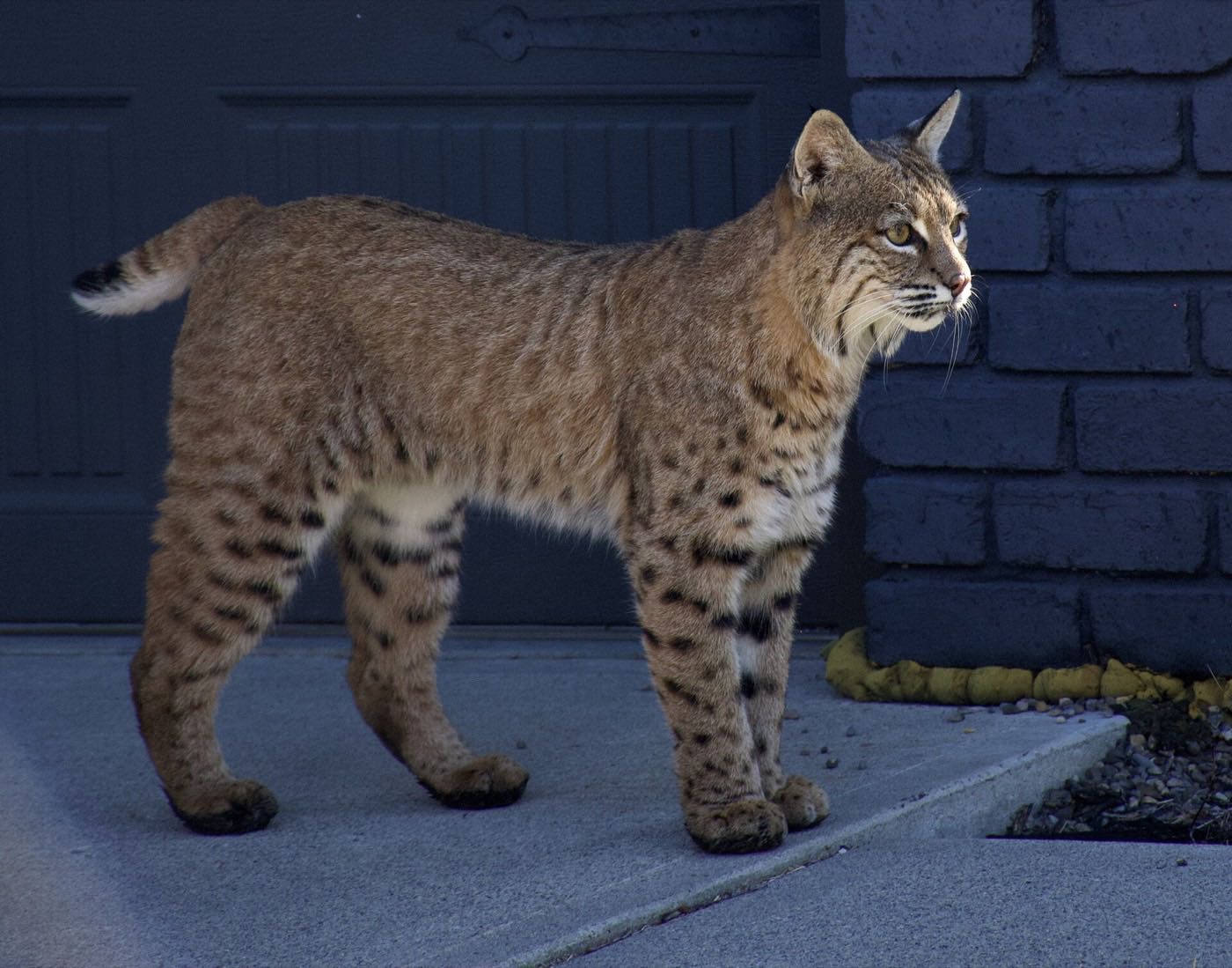
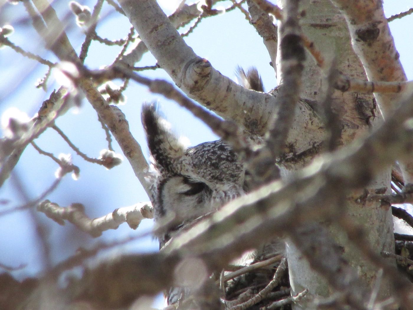


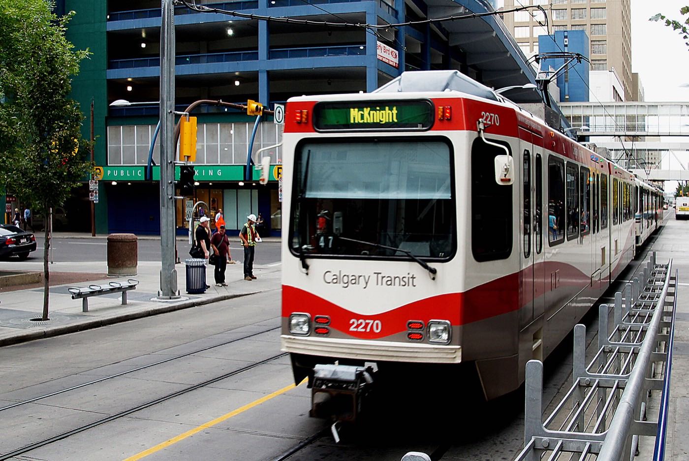

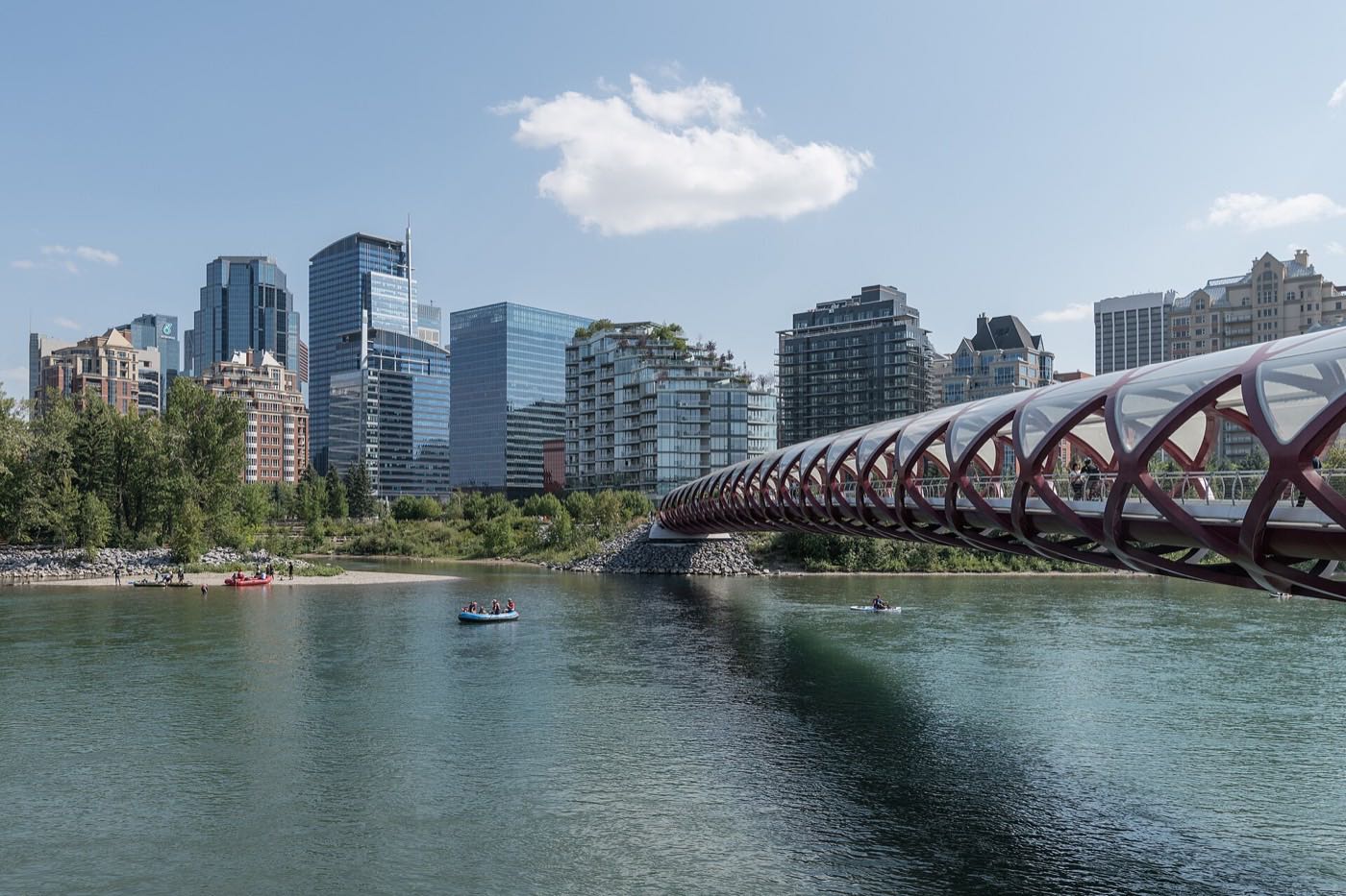
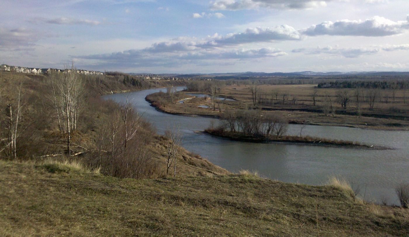
Showing 1–12 of 29 photographs.
Honesty note. This page uses only the general Calgary, seasonal, Alberta-wildlife and day-trip photography from the site's shared library: the Fish Creek and Midnapore-specific images used on the southeast pages are deliberately excluded, because this community is at the far northern edge of the city and those are not its surroundings. Nothing here is presented as a photograph of Redstone itself.