Live in Temple
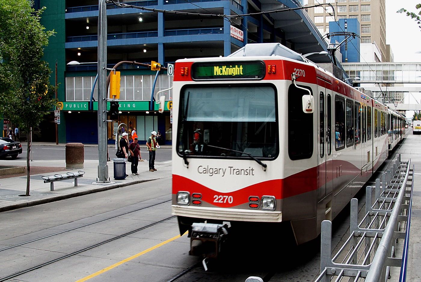
A 1977 northeast Calgary community (one of the four 'Properties' neighbourhoods with Rundle, Pineridge and Whitehorn) bracketed by McKnight Boulevard and two CTrain stations.
Temple's land was first proposed under the name Montrose in the early 1910s, sat undeveloped through the Great Depression, was annexed by the city in 1961, and was not developed until 1977. At the 2021 census it held 10,525 residents in 3,440 dwellings on 2.6 km², about 4,000 people per km², with 41 per cent of residents immigrants against 33 per cent city-wide. Two thirds of its occupied stock went up between 1961 and 1980 and nothing at all since 2010.
One of four 'Properties' communities, bracketed by two CTrain stations
Bordered north by McKnight Boulevard, east by 68 Street NE, south by 32 Avenue N and west by 52 Street NE, on which Wikipedia and the Federation of Calgary Communities agree. Ward 10, in the City's Northeast sector; Wikipedia still gives Ward 5, which is the pre-2021 boundary.
Temple's land was proposed under the name Montrose in the early 1910s, then sat undeveloped through the Great Depression. The city annexed the site in 1961, but the community itself was not developed until 1977, as one of a cluster of four northeast neighbourhoods, Temple, Rundle, Pineridge and Whitehorn, each of whose names once ended in "Properties." Wikipedia says the timing of the renaming is uncertain.
The boundaries are McKnight Boulevard to the north, 68 Street NE to the east, 32 Avenue N to the south, and 52 Street NE to the west, on which Wikipedia and the Federation of Calgary Communities agree: a rectangle of 2.6 km² bordering Whitehorn, Rundle and Pineridge on three sides.
Housing mix. At the 2021 census, 75% of households own and 25% rent, against 69% and 31% across Calgary, and only 7% of the occupied stock is an apartment. What dates it is the construction window: 67% was built between 1961 and 1980 and another 25% in the 1980s, with nothing at all since 2010. Median household income was $87,000 in 2020, against $98,000 across Calgary.
Who lives here. At 10,525 residents in 3,440 dwellings on 2.6 km², Temple runs to about 4,000 people per km². 41% of residents are immigrants, against 33% city-wide, and 70% speak English most often at home against 75%. One resident in five is under 15 and one in seven is 65 or over.
- 67% of the occupied stock was built between 1961 and 1980. Original roofs, windows, furnaces and panels are at or past design life
- Nothing here has been built since 2010. A renovated house is the only new interior on offer
- Aluminum wiring was still being used in Alberta in this era. No publisher tracks it by community, so inspect
- No CTrain station sits inside the community itself. Rundle and Whitehorn both opened on 27 April 1985 in the median of 36 Street NE, a drive or a bus ride away
- Village Square Leisure Centre, the nearest City facility, is closed for upgrades from 31 August 2026 until the end of 2027
- Getting west to the mountains means crossing the entire city. Budget well over an hour to Kananaskis
How Temple got here
- 1910sThe land is proposed under the name Montrose as part of early northeast subdivision plans.
- 1930sDevelopment stalls through the Great Depression and the land sits unbuilt for decades.
- 1961The site is annexed by the City of Calgary.
- 1977Temple is established and developed, one of a cluster of four northeast communities with Rundle, Pineridge and Whitehorn, each of whose names once ended in Properties. Wikipedia says the timing of the renaming is uncertain.
- 1978The Temple Community (Calgary) Association is registered as a provincial society on 26 October. Its hall at 167 Templegreen Road NE seats 250, with tennis courts, an outdoor skating rink and a hockey rink.
- 1985Rundle and Whitehorn stations both open on 27 April on the Blue Line, in the median of 36 Street NE, 8.4 km and 9.8 km from the City Hall interlocking, with 350 and 824 parking spaces.
- 2021The federal census counts 10,525 residents in 3,440 dwellings, 75 per cent of them owner households, with a median household income of $87,000 in 2020 against $98,000 across Calgary. Sixty-seven per cent of the occupied stock dates from 1961 to 1980 and none of it from after 2010.
- 2026Village Square Leisure Centre, the closest City recreation facility, closes on 31 August for upgrades and repairs until the end of 2027. Its two arenas stay open until March 2027.
No lake and no river valley: the civic parks carry the recreation load
There is no river valley or provincial park at this stretch of the city. The open space is civic: Prairie Winds Park, 16 hectares at 223 Castleridge Blvd. N.E. north by the Genesis Centre, with tennis courts, a basketball court, playgrounds, a winter sledding hill, and a spray park, lazy river and wading pool in the warm months. The City's page names no zip line and no playing fields, so this guide no longer claims them, and GlobalFest no longer runs at Elliston Park either.
What the map does not show: the recreational advantage here is two indoor hubs within fifteen minutes, and one of them is about to go dark: Village Square Leisure Centre closes on 31 August 2026 for upgrades until the end of 2027, with its two arenas open until March 2027. That leaves the Genesis Centre at 7555 Falconridge Blvd. NE carrying the indoor season on its own.
Elsewhere in Calgary, not Temple

22 places, with real drive times
Road-adjusted distance and drive time from the centre of the community to each destination, nearest first. Filter by category.
Showing 1–12 of 22 places, nearest first.
Method: distances and drive times are estimated from the centre of the community to each destination using Calgary's road grid, and are rounded to honest ranges rather than presented as precise figures. Temple sits between two CTrain stations and close to Sunridge Mall, but the mountains are a genuine haul from this side of the city.
Every gym within reach
The northeast is served by large civic facilities rather than a dense cluster of private clubs, with the nearest paid gyms sitting in the Sunridge Mall retail district. Confirm hours before you count on any of them.
- Indoor water park, wave pool, waterslides, ice rinks, weight room, jungle gym and gymnasium, when it reopens. The two arenas stay open until March 2027
- The Genesis Centre at 7555 Falconridge Blvd. NE is the alternative: two gymnasiums, two indoor field houses, multi-purpose rooms and outdoor turf, with the Saddletowne YMCA in the same building
- Sunridge Mall has commercial gyms minutes away, though no publisher names them
- The community's own pathways and Prairie Winds Park are the free option
| Facility | What it is | Drive |
|---|---|---|
| Village Square Leisure Centre open | Indoor water park, wave pool, waterslides, ice rinks, weight room, jungle gym and gymnasium. Closed for upgrades and repairs from 31 August 2026 until the end of 2027; the two arenas stay open until March 2027. | 4–6 min |
| Genesis Centre open | 7555 Falconridge Blvd. NE: a feature gymnasium, a community gymnasium, an indoor turf field house, an indoor plastic flooring field house, multi-purpose rooms and outdoor turf. The Saddletowne YMCA shares the address. | 6–9 min |
| Sunridge-area fitness clubs open | Commercial gyms in the Sunridge Mall retail district. No publisher lists them by name. | 5–8 min |
| Max Bell Centre open | Twin arenas and community recreation space, south across the city. | 10–15 min |
| Prairie Winds Park open | Not a gym, but the free option: 16 hectares at 223 Castleridge Blvd. N.E. with tennis courts, a basketball court, playgrounds and a winter sledding hill. | 6–8 min |
| Temple community pathways open | Free option: the community's own internal pathway network and the green space shared with its two elementary schools. | 1–3 min |
Check hours and membership terms. Village Square is the City's, and is shut until the end of 2027. The Genesis Centre is not a City facility and does not appear on the City's list of pools and leisure centres, so confirm its terms with the centre itself.
Four elementaries inside the community, and high school outside it
Annie Foote School is kindergarten to grade 6 in the east half of the community, on the board's own account. Guy Weadick School is here too, though its page publishes no grade range. On the Catholic side Wikipedia names St. Thomas More and Father Scollen, the second as an elementary and junior high. No school inside the community goes past grade 9, and nothing published names the senior high this community feeds.
| School | Board | Note |
|---|---|---|
| Annie Foote School | Calgary Board of Education | The board's own page calls it a kindergarten to grade 6 school in the east half of the community. It names no other community, so this guide no longer says it serves Skyview. |
| Guy Weadick School | Calgary Board of Education | A Calgary Board of Education school inside the community. Its page publishes no grade range and no attendance area. |
| St. Thomas More School | Calgary Catholic School District | Wikipedia names it as a Catholic elementary serving this community. The district's site refuses automated clients, so nothing here was read from the district itself. |
| Father Scollen School | Calgary Catholic School District | Wikipedia names it as a Catholic elementary and junior high here, unconfirmed for the same reason. |
| Junior and senior high designations | Both boards | Nothing published names the designated junior or senior high for this community. The Calgary Board of Education gives it only through the address search on its own site. |
Alberta funds Catholic education the same way it funds public education, so there is no tuition for a resident student at either board. Confirm the current junior and senior high designation for a specific address with the board before you buy: the board assigns a designated school from the home address and publishes that only through the address search on its own site. The Calgary Catholic School District's site refuses automated clients, so nothing on the Catholic side here was read from the district itself.
Month by month, what living here looks like
Not a highlights reel: the actual annual rhythm, including the dates residents have to remember.
- Chinooks reach Temple last and weakest of any quadrant, same as the rest of the northeast
- McKnight Boulevard and Deerfoot Trail are priority-plowed routes, so access into the rest of the city holds up
- The Genesis Centre carries the indoor season: Village Square is closed for upgrades until the end of 2027
- Elevation of 1,085 m means the cold snaps bite slightly harder than in the river valley communities
- Family Day long weekend brings the Genesis Centre to its busiest
- Sunridge Mall is the default indoor errand on the coldest days
- Coldest stretches usually break with a chinook, if a late one
- Airport flight paths overhead are more noticeable in the still, cold air
- Melt and refreeze on side streets through the month
- Rundle and Whitehorn stations both have exposed, windswept platforms: dress for the wait
- Prairie Winds Park and the community's own green space start to reopen
- Spring break sends families to the Genesis Centre's field houses and gymnasiums
- Last hard frosts: planting waits until the long weekend
- Prairie Winds Park's playing fields dry out and reopen
- Migratory birds return to Elliston Park's lake, a drive southeast
- Hail season begins: the northeast gets more than its share through the summer
- Long evenings: sunset past 9pm by month end
- Community league and field sport seasons start
- Chestermere's boating season begins, a short run east
- Thunderstorm season is fully under way
- Peak daylight at the solstice: over 16 hours
- School year ends at Annie Foote, St. Thomas More, Father Scollen and Guy Weadick
- Chestermere beaches fill on warm weekends
- Evening thunderstorms build over the foothills and cross the city
- Calgary Stampede: ten days, about 20 minutes southwest
- Hail season peaks: the northeast takes more than its share
- Hottest month, with little shade in the older parts of the community
- Sunridge Mall's parking lot is at its fullest of the year
- Prairie Winds Park's spray park and lazy river are at their busiest
- Chestermere Lake at its warmest, a short drive east
- Quietest weeks before all four of Temple's schools reopen
- Zoo visits pick up before school starts, west along Memorial Drive
- School year restarts at Annie Foote, St. Thomas More, Father Scollen and Guy Weadick
- First frost typically arrives late in the month
- Sunridge Mall is busiest with back-to-school shopping
- Prairie colour turns across the open ground by the Genesis Centre to the north
- First snow is normal, and normally melts
- Snow tires go on
- Chestermere quiets down for the season
- Shorter evenings noticeable by mid-month
- Dark by 5pm
- Indoor recreation season restarts at the Genesis Centre and the community hall
- Sunridge Mall's holiday retail season begins
- Freeze sets in on Chestermere Lake, east of the city
- Zoolights at the Calgary Zoo, west along Memorial Drive
- Holiday quiet across the community
- Chestermere ice starts to hold
- Chinooks, when they come, arrive late and weak here, same as the rest of the northeast
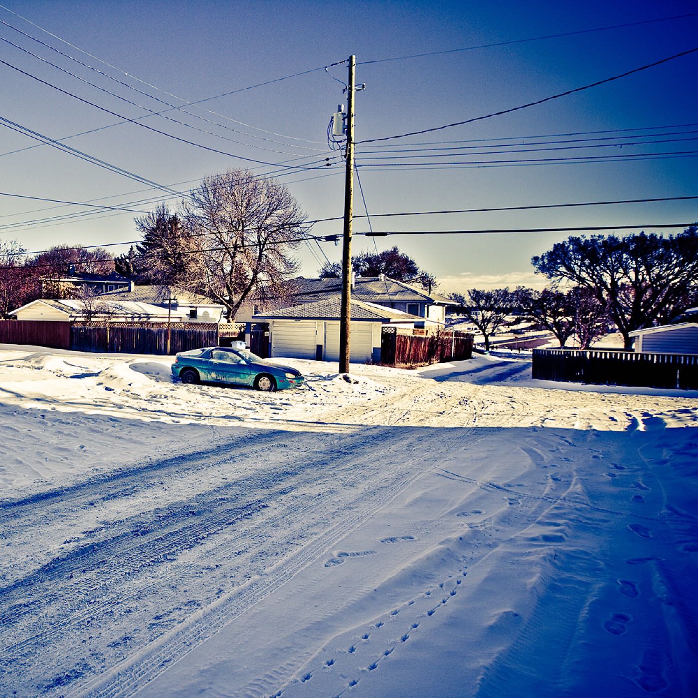
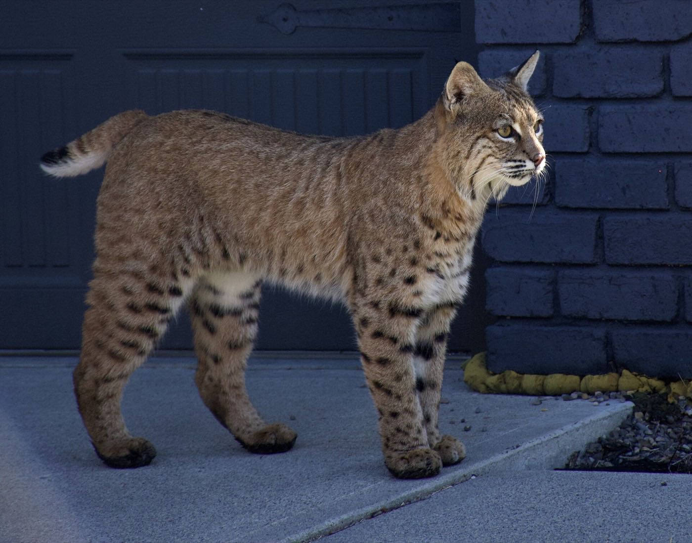
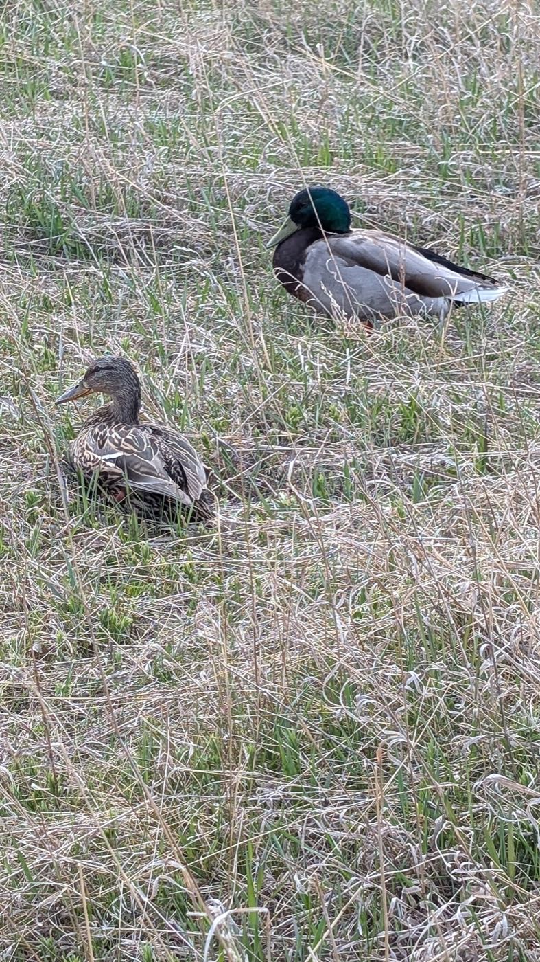
30 more photographs of Calgary and the region
Drawn from the site's shared, freely licensed Calgary photo library, not photographs of Temple itself. Filter by category.
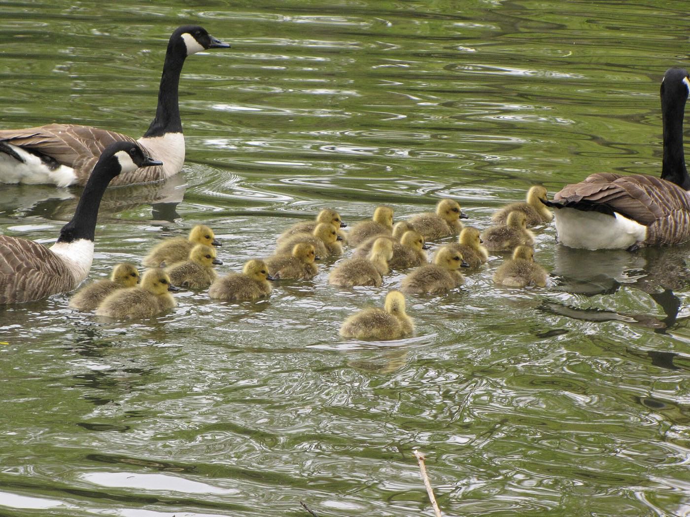


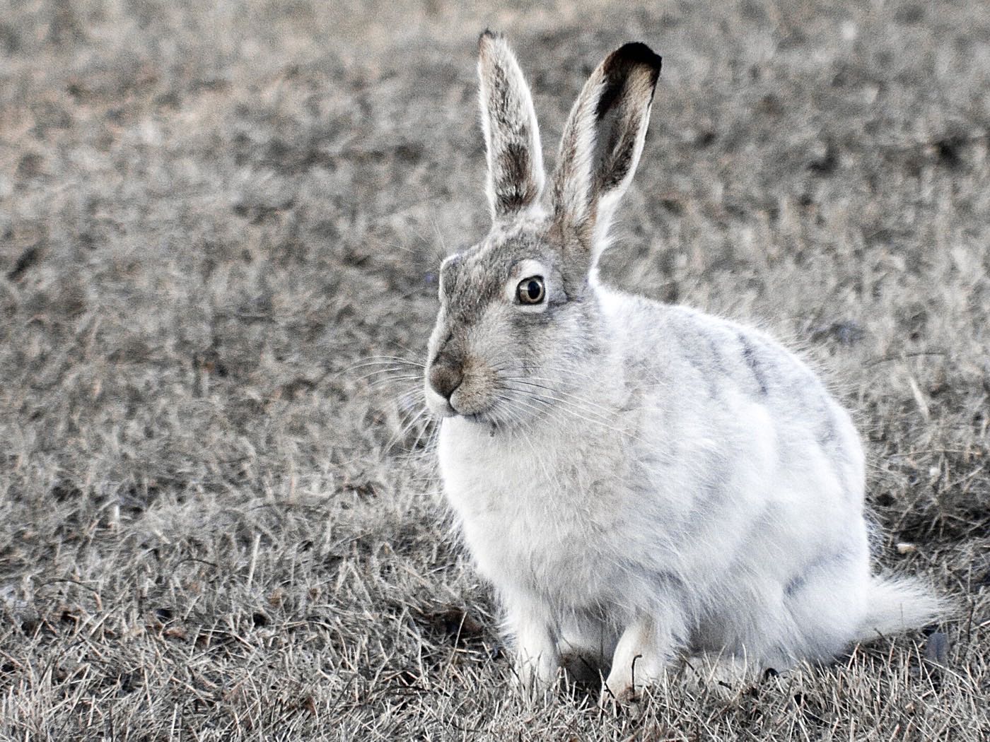
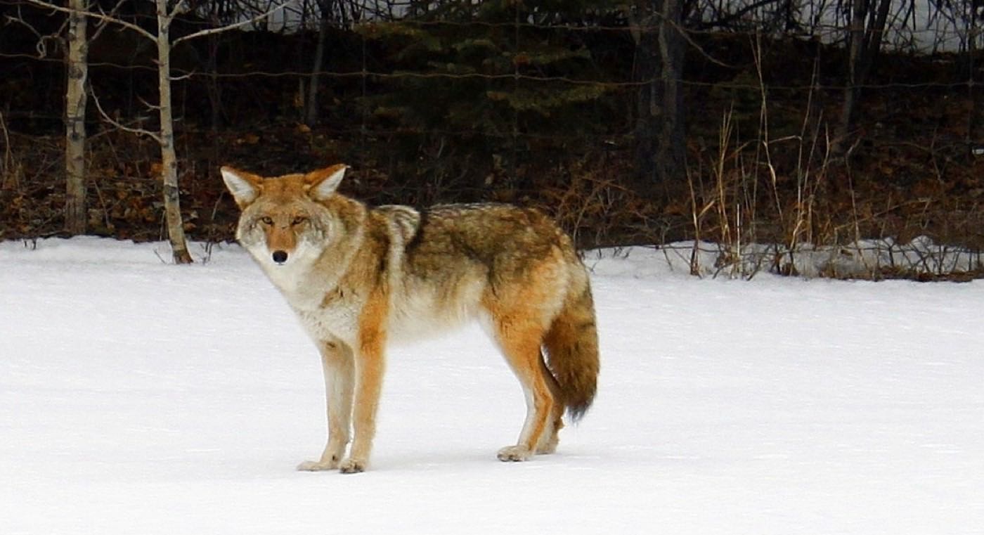
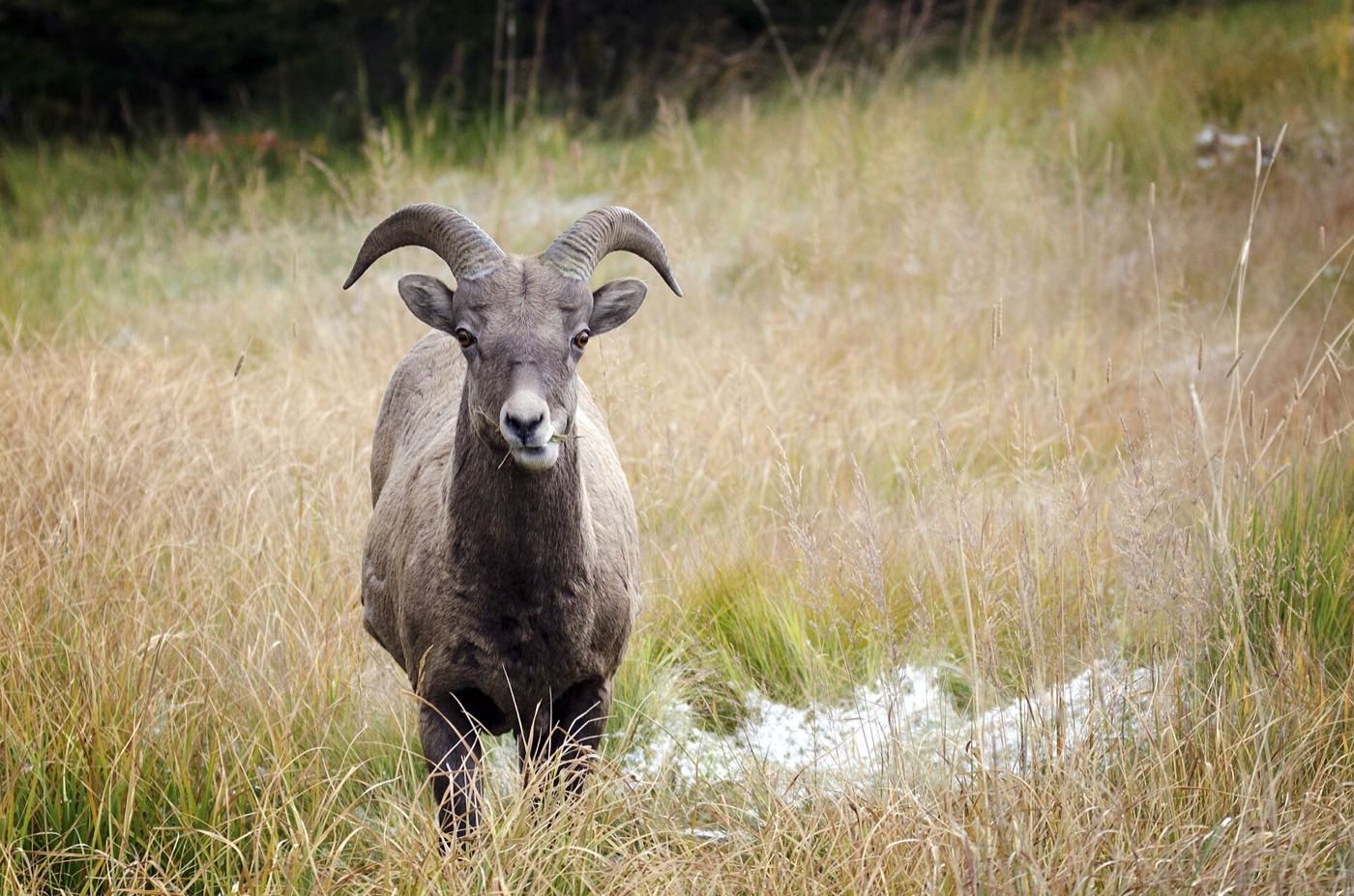
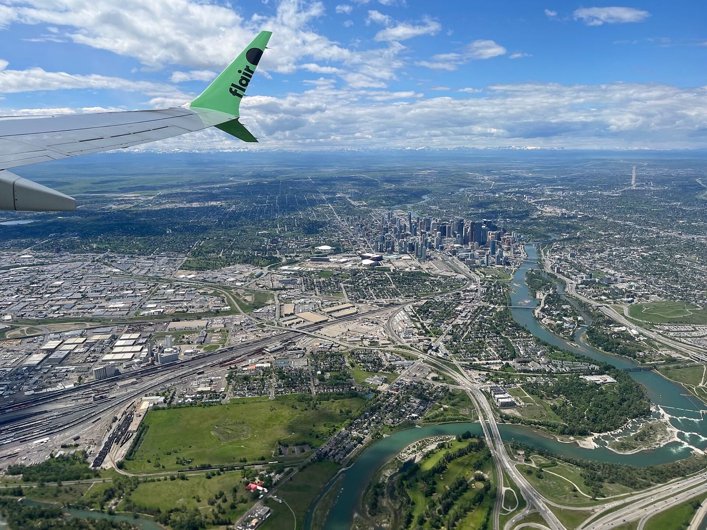
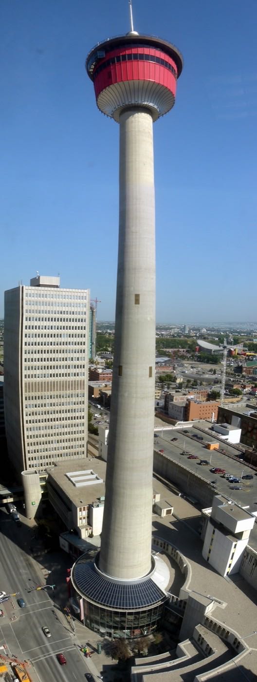
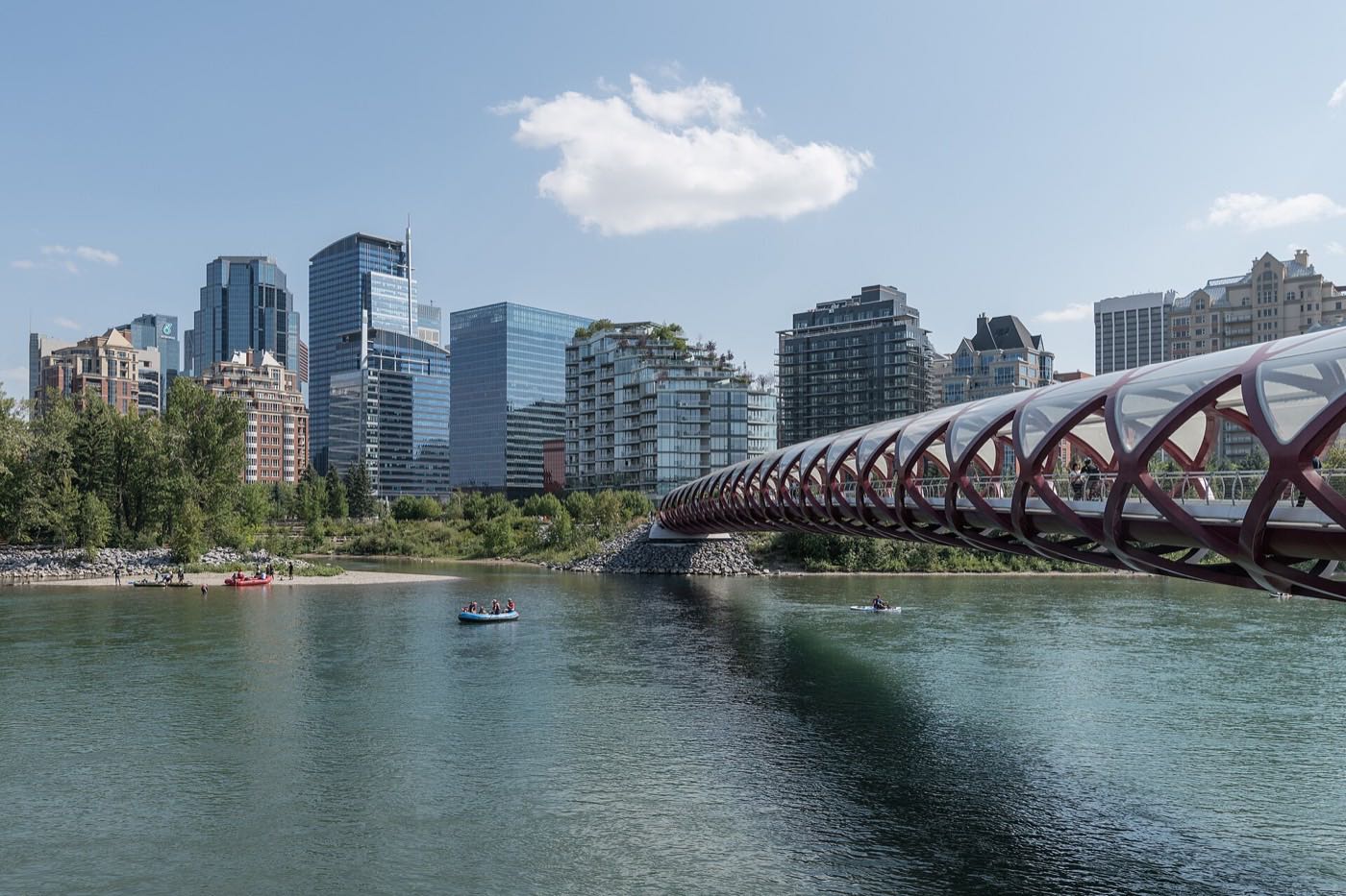
Showing 1–12 of 30 photographs.
Honesty note. This page uses only the general Calgary, seasonal, Alberta-wildlife and transit photography from the site's shared library: the Fish Creek and south-Calgary-specific images used on the southern pages are deliberately excluded, because this community is in the northeast and those are not its surroundings. Nothing here is presented as a photograph of Temple itself.