Live in Cornerstone
One of Calgary's newest far-northeast communities, planned on a revived grid street layout since 2015, minutes from CrossIron Mills and the airport.
Cornerstone's area structure plan is dated 15 January 2015, and the City's boundary for the community encloses 7.6 km² of the far northeast. A deliberate return to a grid street pattern after decades of curving suburban roads out here. Walton Development and Management was the original master planner; Anthem United took over day-to-day development on 28 March 2018. At the 2021 census the built portion counted 6,190 residents in 1,795 private households, with 61% of residents immigrants, and 94% of occupied dwellings had been built between 2016 and 2021. It is still filling in: no school has opened inside the community, and new phases are still under construction.
A grid-street plan built since 2015, still filling in
Bounded north by Stoney Trail NE, south by the Cityscape community, west by Skyview Ranch and Redstone, and east by Cornerstone Close NE, adjoining Rocky View County. Ward 5.
The Cornerstone Area Structure Plan is dated 15 January 2015, and the City's boundary for the community encloses 7.6 km² of the far northeast. It is a deliberate return to a grid street pattern, after decades of the curving, cul-de-sac suburbs built earlier in this quadrant. Walton Development and Management was the original master planner; Anthem United took over day-to-day development on 28 March 2018. Anthem markets the lands as over 1,100 acres, which is a larger parcel than the City's community boundary.
It sits inside Stoney Trail on the north, with Skyview Ranch and Redstone to the west and Cityscape to the south. Every one of those neighbouring communities was built in roughly the same decade, which makes this whole corner of the city a single, ongoing construction project rather than a finished place.
Who lives here. At the 2021 census the built portion counted 6,190 residents in 1,795 private households, with 61% of residents immigrants against 33% across Calgary. One of the most diverse communities in the city. Median household income was $99,000 in 2020, against $98,000 city-wide. 17% of households rent, 16% of occupied dwellings are apartments in buildings under five storeys, and none at all are in buildings above five storeys. Households here average 3.4 people, well above the city's 2.6, and just 3% of residents are 65 or over.
The honest trade-off is cost of living, not price. The community profile records 34% of households spending 30% or more of income on shelter, against a 23% city-wide figure: a reasonable proxy for a young community full of first-time buyers carrying new mortgages. It is also a new-build community almost end to end, with 94% of occupied dwellings built between 2016 and 2021.
No school has opened inside Cornerstone. Schools have been talked about for the community for years, but neither the Calgary Board of Education nor the province publishes a page this guide could open that names one, so nothing here puts a grade range or an opening year on them. In the meantime children go to Prairie Sky School and Apostles of Jesus in neighbouring Skyview Ranch, and Nelson Mandela High School in Saddle Ridge.
- No school is open inside the community, and no board page this guide could open names one that is coming
- Kids currently bus or drive to Skyview Ranch or Saddle Ridge for school
- One retail plaza inside the community (Highstreet at Cornerstone) most other shopping means a drive
- The community association was only registered in 2025 and operates no hall, rink or facility
- 34% of households spend 30% or more of income on shelter, against 23% city-wide
- New phases are still under construction. Expect equipment, dust and unfinished streets in parts of the community for years yet
How Cornerstone got here
- 2015The Cornerstone Area Structure Plan is dated 15 January 2015, with Walton Development and Management as master planner of the lands.
- 2018Walton partners with Anthem United, which takes over day-to-day development management as of 28 March 2018.
- 2019The City's last civic census counts 2,648 residents in the community, in 1,285 dwellings, 751 of them occupied.
- 2021The federal census counts 6,190 residents in 1,795 private households: 61% of them immigrants, 17% of households renting, 94% of occupied dwellings built between 2016 and 2021, and a median household income of $99,000 in 2020.
- 2025The Cornerstone United Community Association is registered with the Federation of Calgary Communities, with no hall or facility of its own.
A pathway network, and a wetland at the centre
The developer counts over 14 km of pathways and seven playgrounds built out across the community so far, which is the open space most residents actually use day to day. At the centre sits Cornerstone Regional Park, wrapped around an existing wetland rather than a landscaped amenity built from scratch.
What the map does not show: there is no river valley or provincial park at this edge of the city: the wetland and the community's own pathway network are what you get, plus Prairie Winds Park for a bigger civic park with fields and a spray park. No City page this guide could open documents the regional park's phasing or opening date, so this guide does not put one on it.
Elsewhere in Calgary, not Cornerstone

21 places, with real drive times
Road-adjusted distance and drive time from the centre of the community to each destination, nearest first. Filter by category.
Showing 1–12 of 21 places, nearest first.
Method: distances and drive times are estimated from the centre of the community to each destination using Calgary's road grid, and are rounded to honest ranges rather than presented as precise figures. The far northeast skews unusually close to the airport and CrossIron Mills, and unusually far from downtown and the mountains.
Every gym within reach
Cornerstone has no recreation centre of its own. The nearest large facilities sit along Falconridge Boulevard and up in Country Hills. Confirm hours before you count on any of them.
- VIVO has pools, ice, fitness and an indoor park, but it is 21–31 minutes away by the ring road
- Village Square Leisure Centre has a wave pool, arena and a library branch, 13–19 minutes away
- Anytime Fitness in Saddletowne is the closest paid chain gym, reached by the Route 128 loop
- The community's own pathways and playgrounds are the free option, already built out
| Facility | What it is | Drive |
|---|---|---|
| VIVO open | Large multi-sport recreation and wellness centre: pools, ice, fitness, climbing and an indoor park (formerly Cardel Place). | 21–31 min |
| Genesis Centre open | The northeast's anchor recreation facility: gymnasiums, fitness centre, indoor courts and community programming. | 11–16 min |
| Village Square Leisure Centre open | Wave pool, arena, fitness space, gymnasium and a library branch under one roof. | 13–19 min |
| Anytime Fitness, Saddletowne open | 24-hour access chain gym in the Saddletowne retail area, reached via the Route 128 loop. | 14–20 min |
| Cornerstone pathways and playgrounds open | Free option: over 14 km of built pathways and seven playgrounds across the community so far. | 1–3 min |
| Prairie Winds Park open | Not a gym, but a free option: spray park, wading pool and playing fields. | 9–14 min |
Nothing is inside the community yet. Every facility on this list is a drive away: factor that into daily routines until Cornerstone has recreation space of its own.
No school open inside Cornerstone, and none this guide can date
Designated students go to Prairie Sky School, a Calgary Board of Education school running kindergarten through grade 9 in neighbouring Skyview Ranch, to Apostles of Jesus on the Catholic side, and to Nelson Mandela High School in Saddle Ridge. Neither CBE school publishes its attendance area on its own site.
| School | Board | Note |
|---|---|---|
| Prairie Sky School | Calgary Board of Education | Kindergarten through grade 9 in neighbouring Skyview Ranch, the nearest CBE school. Its own page does not publish an attendance area. |
| Apostles of Jesus School | Calgary Catholic | Catholic school in neighbouring Skyview Ranch. The Calgary Catholic School District's site refuses automated clients, so nothing here was read from the district. |
| Nelson Mandela High School | Calgary Board of Education | The nearest CBE senior high, in Saddle Ridge. Its own page does not publish an attendance area either. |
Alberta funds Catholic education the same way it funds public education, so there is no tuition for a resident student at either board. Confirm the current designation and busing arrangement for a specific address with the board before you buy: designations in a community this new change as enrolment grows. The Calgary Catholic School District's site refuses automated clients, so nothing on the Catholic side here was read from the district itself.
Month by month, what living here looks like
Not a highlights reel: the actual annual rhythm, including the dates residents have to remember.
- Chinooks reach the far northeast last and weakest of anywhere in the city
- Stoney Trail and Métis Trail are priority routes, so access holds up
- Cornerstone Regional Park's wetland freezes over: a cold, quiet loop, but no posted skating
- Wind off the open land beyond Stoney Trail is a real factor
- VIVO and Genesis Centre carry the indoor season
- Longer light by month end
- Coldest stretches usually break with a chinook
- Airport traffic on Métis Trail and Stoney Trail is the quadrant's winter bottleneck
- Melt and refreeze on side streets in the newer phases
- Prairie wind picks up as the snow goes
- Cornerstone Regional Park's trails reopen as the path clears
- First bare pavement at Highstreet at Cornerstone
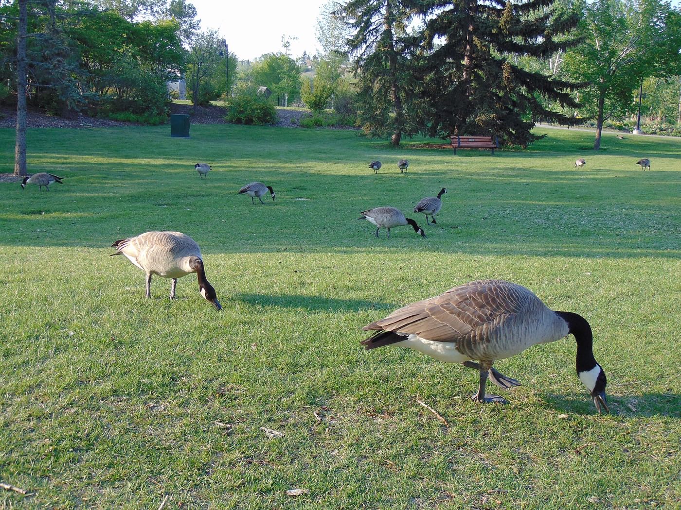
- Migratory geese and ducks return to the regional park's wetland
- Last hard frosts: planting waits until the long weekend
- Construction restarts across the community's unbuilt phases
- Route 128 buses run fuller as the pathway network reopens
- Goslings on the wetland through the month
- Long evenings: sunset past 9pm by month end
- Prairie Sky and Apostles of Jesus wind down toward field-trip season
- Hail season begins: the northeast gets more than its share
- Peak daylight at the solstice: over 16 hours
- Nelson Mandela High School's school year wraps up in Saddle Ridge
- Thunderstorm season is fully under way
- Playgrounds across the community busiest of the year
- Calgary Stampede: ten days, about 25 minutes southwest
- Evening thunderstorms roll in from the west
- Hottest month, with little shade along the newer streets
- Cornerstone Regional Park's paths at their driest and busiest
- CrossIron Mills at its busiest with back-to-school shopping
- Sunset slips back before 9pm by the end of the month
- Quietest weeks before school returns
- Harvest traffic builds on Highway 2 north of the city
- School year restarts at Prairie Sky, Apostles of Jesus and Nelson Mandela
- First frost typically arrives late in the month
- Highstreet at Cornerstone busiest with back-to-school errands
- Migrating waterfowl stage on the regional park's wetland
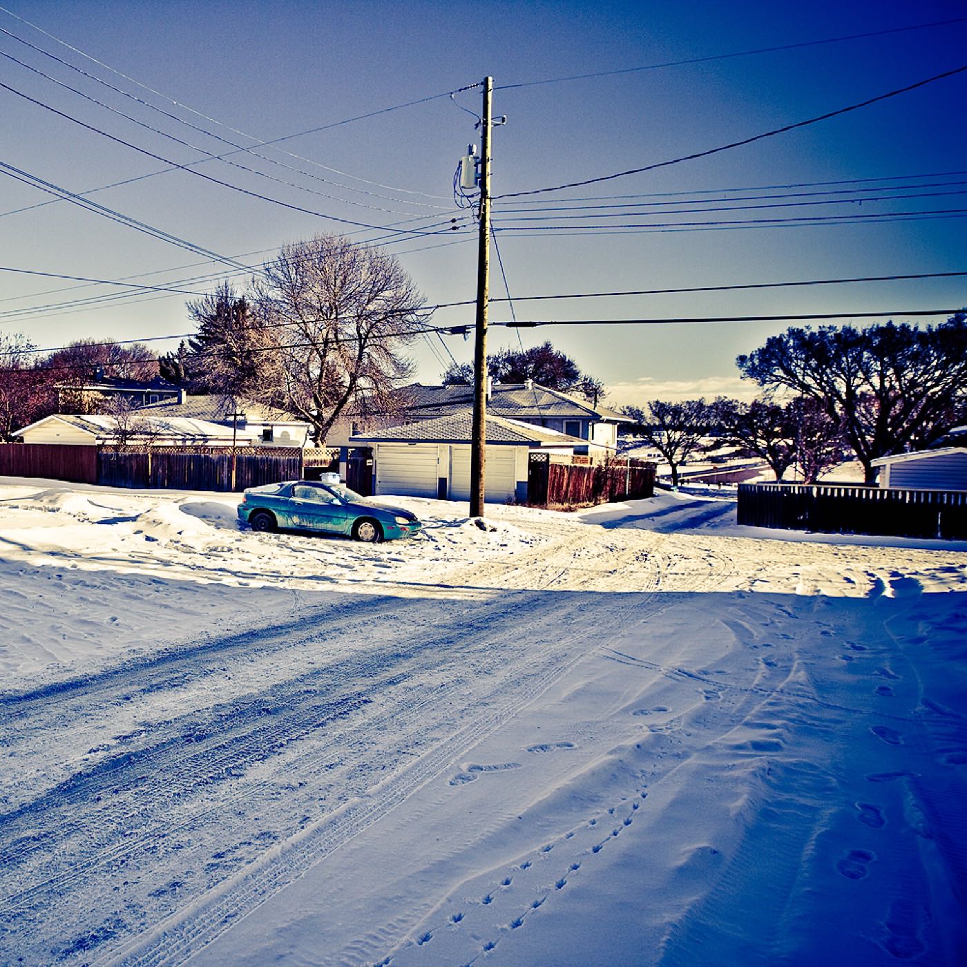
- First snow is normal, and normally melts
- Snow tires go on
- The regional park's young trees and shrubs turn before the rest of the community's plantings
- Shorter evenings noticeable by mid-month
- Dark by 5pm
- Indoor recreation season restarts at VIVO and Genesis Centre
- CrossIron Mills holiday retail season begins
- Freeze sets in on the wetland
- CrossIron Mills at its busiest of the year
- Holiday quiet across the newer phases of the community
- Zoolights at the Calgary Zoo, southwest along Memorial Drive
- Chinooks, when they come, arrive late and weak this far northeast
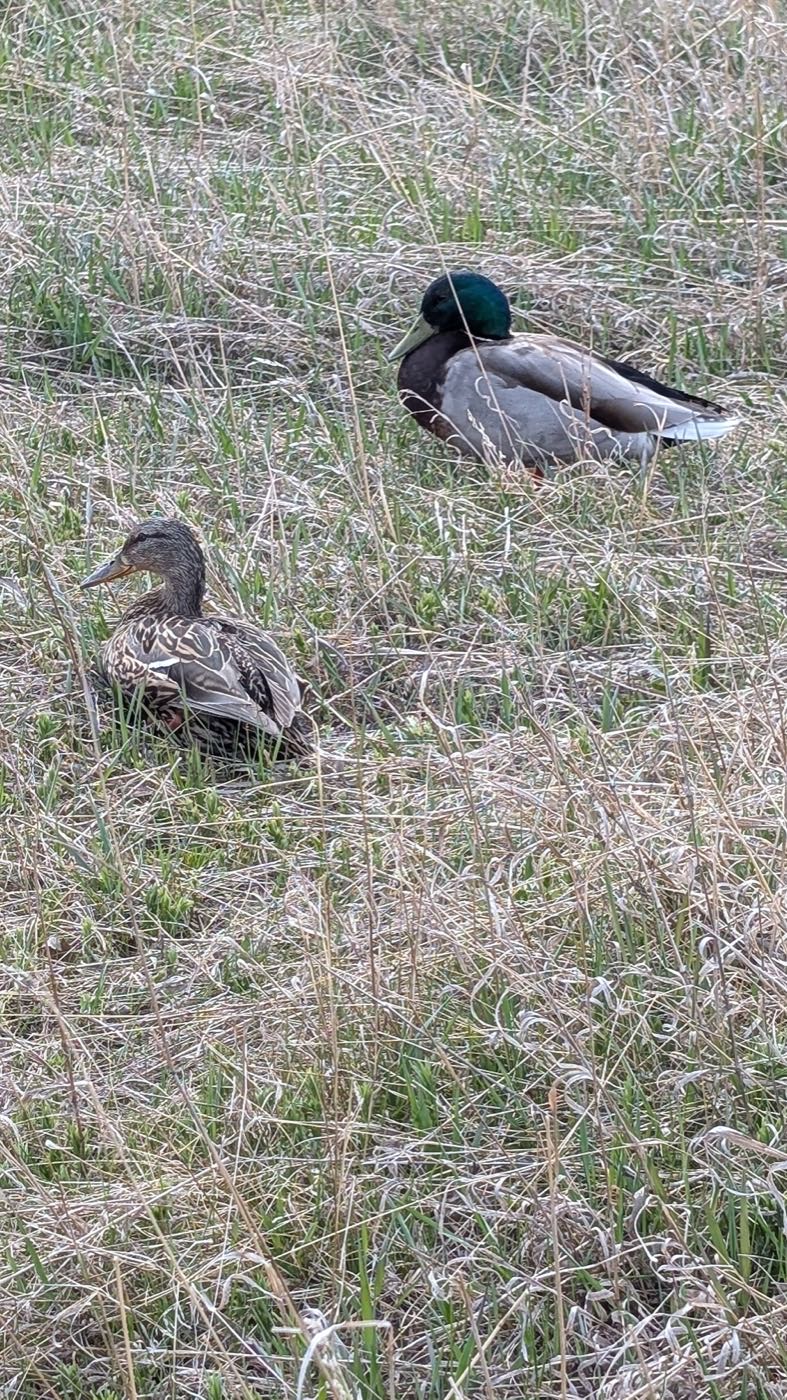
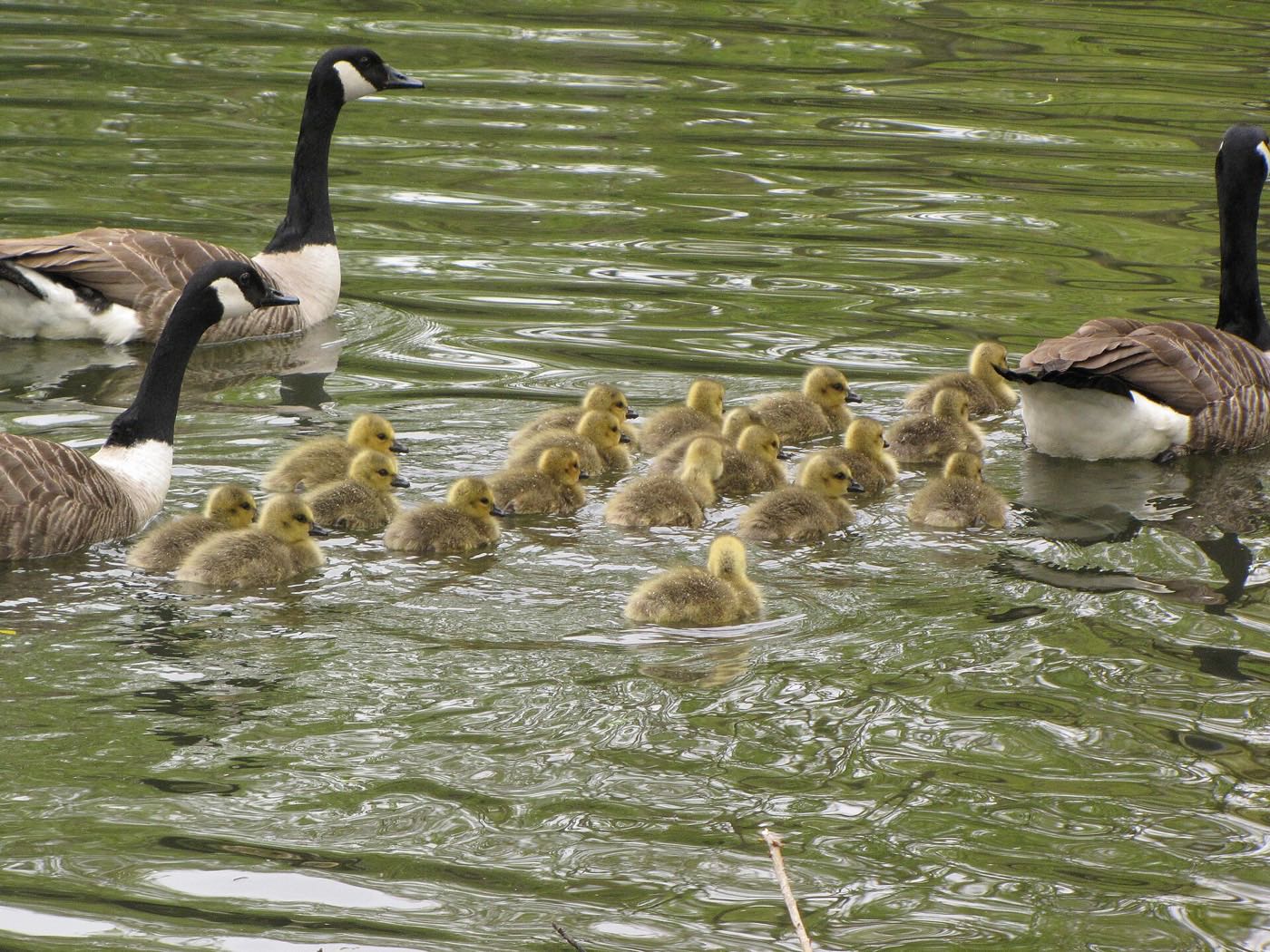
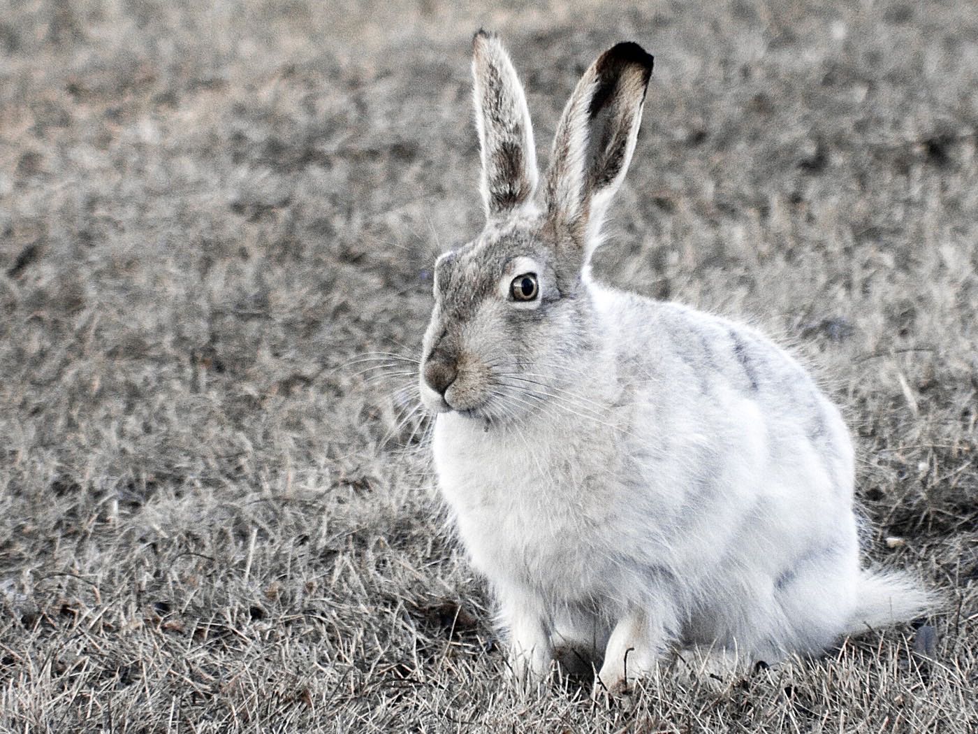
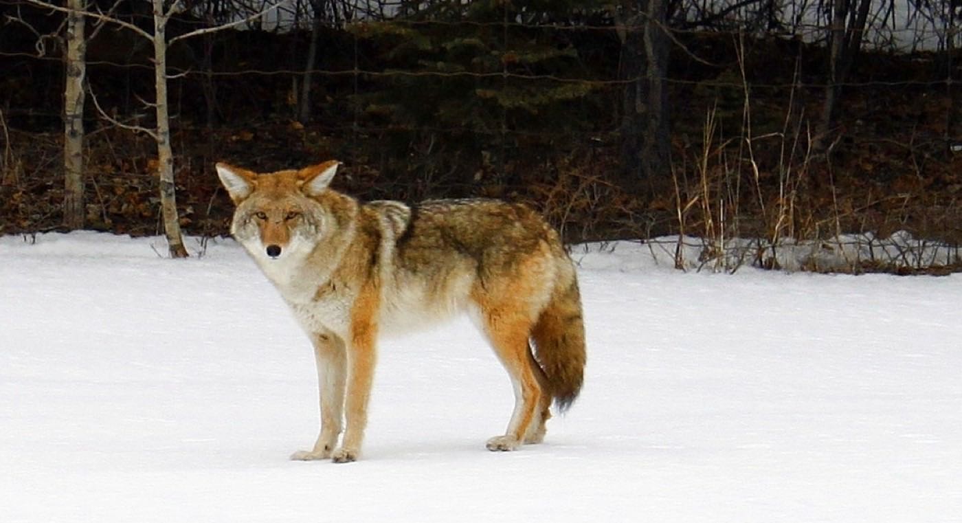
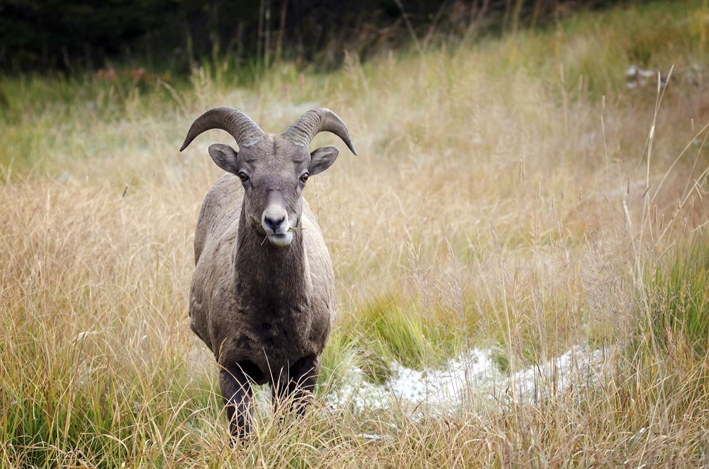
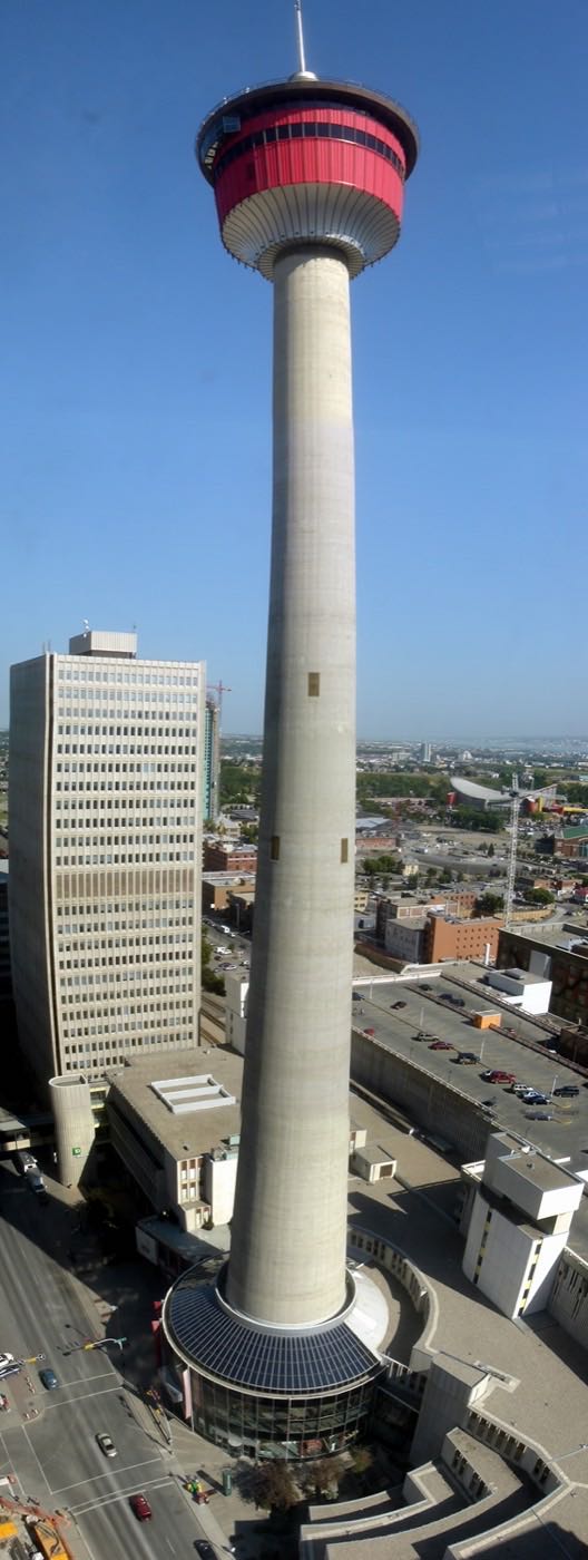
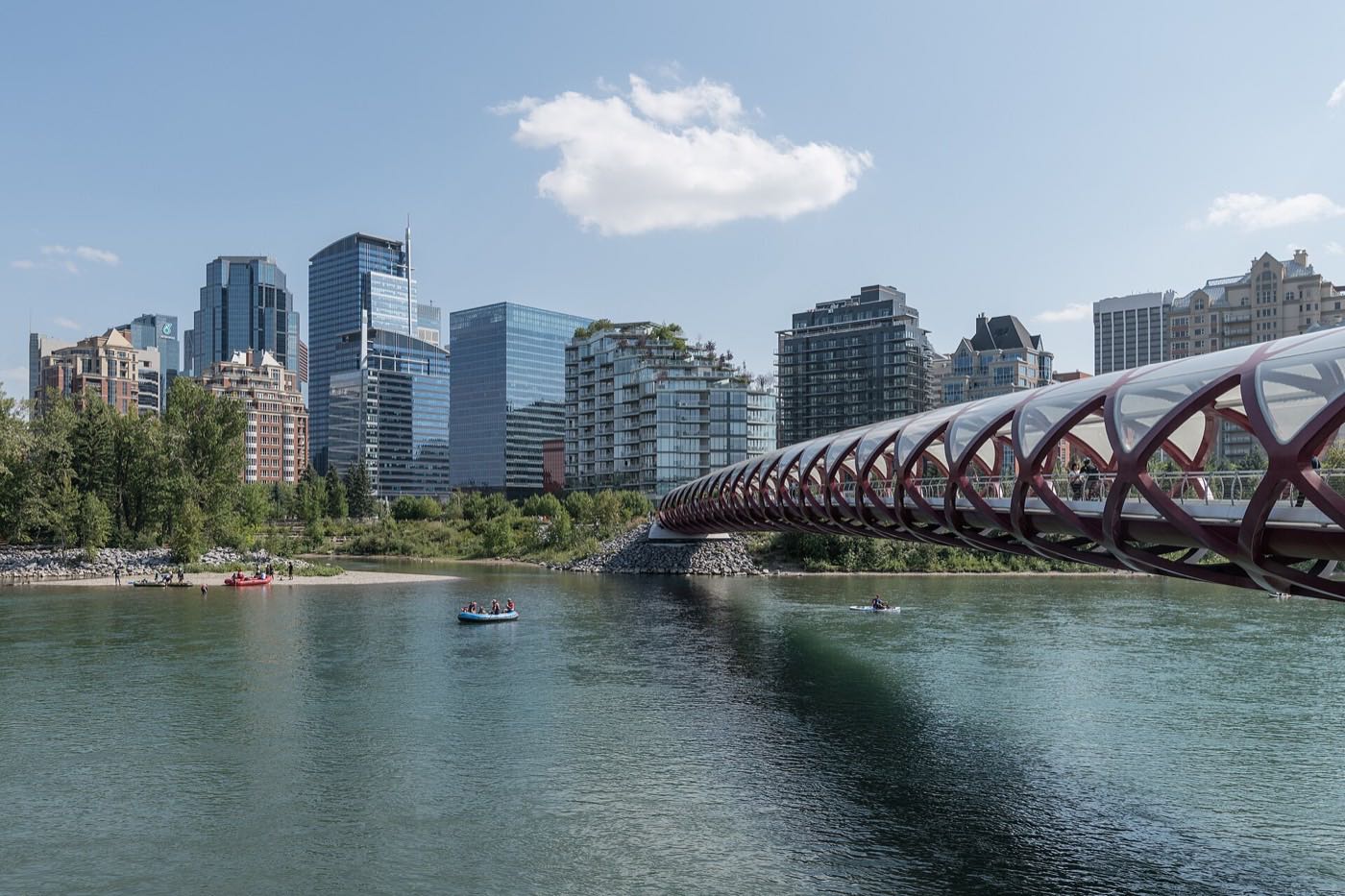
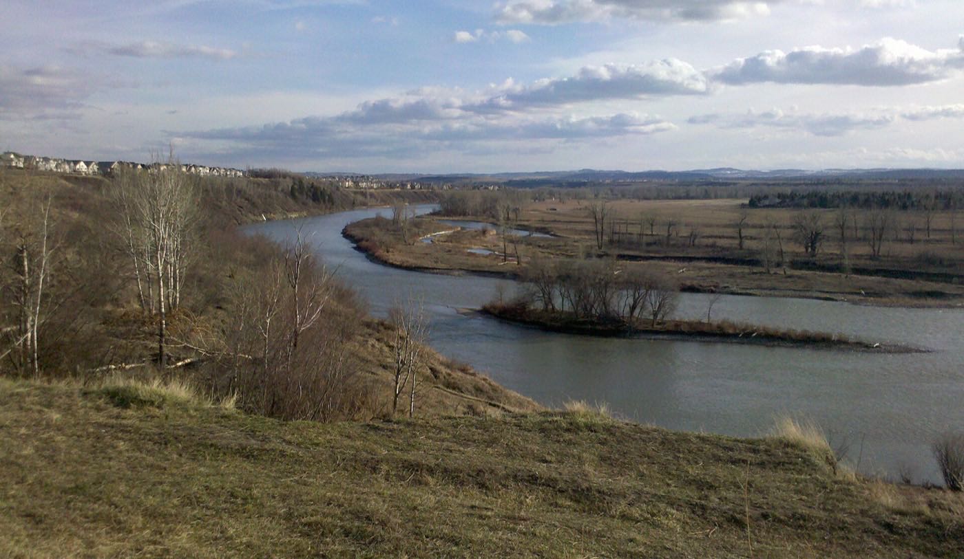
29 more photographs of Calgary and the region
Drawn from the site's shared, freely licensed Calgary photo library, not photographs of Cornerstone itself. Filter by category.


Showing 1–12 of 29 photographs.
Honesty note. This page uses only the general Calgary, seasonal, Alberta-wildlife and day-trip photography from the site's shared library: the Fish Creek and Midnapore-specific images used on the southeast pages are deliberately excluded, because this community is on the far northeast edge and those are not its surroundings. Nothing here is presented as a photograph of Cornerstone itself.