Where to live in Tampa
Hillsborough County has about 1.5 million people and exactly three incorporated municipalities, so most of what people call Tampa (Brandon, Riverview, Carrollwood, Town 'n' Country, Westchase) is not in the city at all. Inside the limits, what shapes an address is how far above the bay it sits: these guides span from just over five feet on Davis Islands to fifty in Belmont Heights, and since the 2024 storms that difference has been repricing. These are 16 neighborhood guides, filterable by side of the city below.
Browse dedicated guides for Downtown, the channel and the Riverwalk, South Tampa and Bayshore, Seminole Heights and north Tampa, Ybor City and east Tampa.
16 communities across the city
A start on a city that is one of only three incorporated municipalities in a county of 1.5 million people. Filter by side of the city, then page through the rest.

Ballast Point
The southern end of Bayshore, named for what sailing ships dumped here, with a public pier and eight feet of ground between the houses and Hillsborough Bay.
Beach Park
Winding 1920s streets on filled bayfront behind the Westshore office district: the address most buyers mean when they search Westshore, and seven feet above the water.

Belmont Heights
East Tampa's historic Black middle-class neighborhood, on the highest measured ground of any Tampa guide, fifty feet above the bay.

Channel District
New construction on the current wind code, nine feet above the bay. The exact opposite case to the older-condominium problem the rest of this site keeps flagging.

Davis Islands
Two dredged islands sold off a 1924 prospectus, holding the region's Level 1 trauma center and a general-aviation runway on ground five feet above the bay.

East Ybor
The blocks east of 22nd Street where the cigar town continued but the historic district and the Barrio Latino review stop, at a fraction of Seventh Avenue's prices.

Harbour Island
A 1980s island of condominiums a people-mover ride from the office towers, and the clearest place on the site to explain Florida's milestone inspection at thirty years.

Hyde Park
An 1880s streetcar suburb behind the longest continuous sidewalk in the country, and the neighborhood that makes FEMA's substantial improvement rule concrete.

Palma Ceia
The 1920s golf-course suburb behind Bayshore, where the elevation runs out about a block inland and the flood zone does not.

Palmetto Beach
A company neighborhood built for the cigar factories and the shipyards, on McKay Bay, and the lowest measured ground on the east side of the city.

Riverside Heights
Bungalows on the river bend between Tampa Heights and Seminole Heights, the quiet middle of the corridor everyone else is bidding on.

Seminole Heights
Bungalows on the highest ground in the city: forty-nine feet above the bay, which is why it lost the least when the water came.
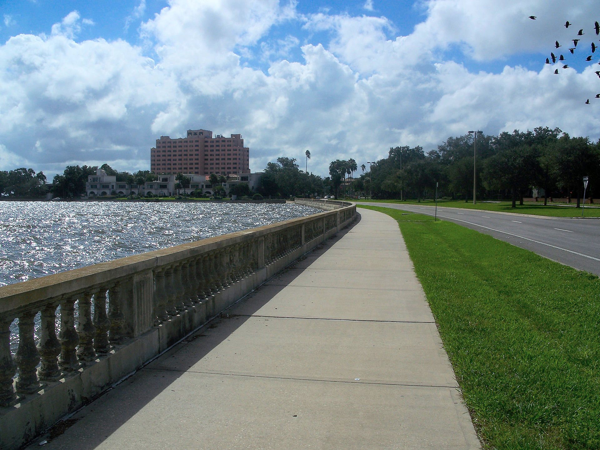
Photographs: The Bayshore walk by user:Dbroadwell, CC BY-SA 2.5, Wikimedia Commons · Bayshore Boulevard by Ebyabe, CC BY 2.5, Wikimedia Commons · Hillsborough High School Clock Tower by TampAGS, for AGS Media, CC BY-SA 3.0, Wikimedia Commons · The American Victory on the Channel District waterfront by Akjameson1, Public domain, Wikimedia Commons · Davis Islands, Tampa by Roman Eugeniusz, CC BY-SA 3.0, Wikimedia Commons · Bergman Building, 2029 E 7th Ave, Ybor City, Florida by Pokemonprime, CC BY 4.0, Wikimedia Commons · The Marriott, downtown Tampa by Gordon Tarpley from Tampa, USA, CC BY 2.0, Wikimedia Commons · Hyde Park, Tampa by MarieG33, CC BY-SA 3.0, Wikimedia Commons · Tampa Bay, Florida by Michelle Maria, CC BY 3.0, Wikimedia Commons · Corina Building 202 S. 22nd St by Jim Roberts, CC BY-SA 4.0, Wikimedia Commons · The Hillsborough River by Eric Statzer, CC BY-SA 4.0, Wikimedia Commons · A Seminole Heights street by Ebyabe, CC BY-SA 4.0, Wikimedia Commons.
.jpg)


.jpg)


.jpg)


Showing 1–12 of 16 communities
The four sides at a glance
In September 2024 Hurricane Helene put the largest storm surge on record into this bay and Milton followed two weeks later. Twenty-three of the twenty-four municipalities in this metro have fallen in value since, and the falls track elevation rather than price. Inside the city the same pattern holds: the guides below carry a measured height above sea level because, after 2024, it is the single most useful number about a Tampa address: more useful than the price, and far more useful than the distance from downtown.
| Side | Neighborhoods | Character |
|---|---|---|
| Downtown, the channel and the Riverwalk | Channel District, Davis Islands, Harbour Island, Tampa Heights | The Hillsborough River meeting the bay, the Riverwalk along it, and the newest housing in the city built on the lowest ground in it. |
| South Tampa and Bayshore | Ballast Point, Beach Park, Hyde Park, Palma Ceia | The peninsula between the bay and the river: the oldest money, the best-known street in Tampa, and the surge zone the whole metro is now priced around. |
| Seminole Heights and north Tampa | Riverside Heights, Seminole Heights, Sulphur Springs, Tampa Palms | Bungalows on the high ground four miles up the river, where the city is forty feet above the water instead of nine. |
| Ybor City and east Tampa | Belmont Heights, East Ybor, Palmetto Beach, Ybor City | A National Historic Landmark District of cigar-workers' casitas, and the industrial half of the city beyond it. |
The four sides above are ours, and so is which neighborhood lands in which. “South Tampa” and “New Tampa” are what people here actually say, so the axis is not invented, but the City publishes no boundary tier above its roughly one hundred registered neighborhood associations, and those are self-drawn by the associations themselves, overlap each other, and cover only the parts of the city that organized. That is a weaker basis than Charlotte's statistical areas, so each guide here takes its map point from the OpenStreetMap place node for the name and its elevation from a USGS point query at that node. The city limits are also ragged and wrap around unincorporated pockets, so each side excludes a good deal of what people mean by the name.
What is not here, and where it is instead. Temple Terrace and Plant City are separate cities in the same county, with their own councils and their own millage, and they are on the Tampa Bay comparison along with St. Petersburg, Clearwater and the Gulf beaches. Brandon, Riverview, Town 'n' Country, Carrollwood, Valrico, Apollo Beach, Ruskin and Westchase are unincorporated Hillsborough: no council, no municipal rate and no row on that table. Around seventy percent of the county lives that way, which is the largest gap between a city and its metro anywhere on this site. Inside the city limits this selection still leaves real places out: Westshore, Virginia Park, Bayshore Beautiful, Sunset Park, Forest Hills and Carver City among them, and they come as the guides do.