
Live in Seminole Heights
Bungalows on the highest ground in the city: forty-nine feet above the bay, which is why it lost the least when the water came.
Seminole Heights is a set of historic districts of 1910s and 1920s bungalows strung along the Hillsborough River about four miles north of downtown, with Hillsborough High School of 1928 at the middle of it. For most of the last century it was an ordinary, slightly overlooked inner suburb; over the last twenty it has become the clearest gentrification arc in Tampa, with the restaurants and the price growth that go with that. The reason to look here rather than south, though, is a number. The neighborhood's reference point measures 48.8 feet above sea level on the USGS elevation model: against 20.3 in Hyde Park and under nine in the Channel District. In a metro that has spent two years repricing elevation after the largest storm surge on its record, that is the single largest structural advantage any part of Tampa has. The trade is the age of the stock: almost all of it predates every modern wind code, and much of it sits inside local historic districts that constrain what you may do to a façade.
The highest ground in Tampa, and the oldest houses on it
North of downtown along the Hillsborough River, roughly from Hillsborough Avenue south to the river bend, split into Southeast, Southwest, Old and South Seminole Heights by the local districts.
Seminole Heights is a run of historic districts along the Hillsborough River about four miles north of downtown: craftsman bungalows platted from 1911 and built out through the 1920s land boom, with Hillsborough High School's 1928 building at the middle of it. It declined for several decades after the war and has spent the last twenty as the clearest gentrification arc in the city, with the restaurants and the price growth that go with that.
The reason to look here rather than south is a single number. The neighborhood's reference point measures 48.8 feet above sea level on the USGS elevation model: against 20.3 in Hyde Park and under nine in the Channel District. In a metro that has spent two years repricing elevation after the largest storm surge on its record, that is the largest structural advantage any part of Tampa has, and it is not a marketing claim: it is a measurement you can repeat.
The trade is the age of the stock. Almost all of it predates the 1994 wind code written after Hurricane Andrew, and an insurer prices that difference far more sharply than any figure on the Tampa hub. Get a wind mitigation report before you make an offer: roof, openings and the presence or absence of shutters will move the quote more than the price does.
And much of it is inside a local historic district, which constrains what you may do to a façade. That is part of why the neighborhood looks the way it does, and part of why a renovation here takes longer than the same work four miles north. What this part of the city gets from storms is wind and falling limbs rather than water: a different problem, and a cheaper one.
- 48.8 feet at the reference point against under nine in the Channel District. Repeat the USGS query on the specific address if you want
- Get a wind mitigation report before offering; on pre-1994 stock it moves the premium more than anything else
- Establish whether the property sits in a local historic district, which constrains exterior work
- The routine storm damage here is wind and falling limbs, so budget for tree work every spring
- Hillsborough High's International Baccalaureate program draws applicants from well outside the catchment. A place is not guaranteed by living here
- The commercial strips on Florida and Nebraska Avenues have turned over fast; check what is actually open rather than what a listing claims
How Seminole Heights got here
- 1911The first Seminole Heights subdivisions are platted north of the Hillsborough River, on the sand ridge above it.
- 1920sThe neighborhood fills in with craftsman bungalows through the Florida land boom, and the streetcar reaches it from downtown.
- 1928Hillsborough High School's present building opens. One of the oldest high schools in Florida, and the neighborhood's civic center.
- 1950sThe interstate and postwar suburbanisation pull investment north and west, and the neighborhood declines for several decades.
- 1990sLocal historic districts are established across Southeast, Old and South Seminole Heights, protecting the bungalow stock.
- 2000sReinvestment begins in earnest, and the commercial strips on Florida and Nebraska Avenues turn over.
- 2024Helene and Milton reprice elevation across the metro. Seminole Heights, forty-nine feet up, is on the right side of that.

Rivercrest, Lowry and the Hillsborough
The river is the neighborhood's edge and its best feature. Rivercrest Park sits on it at the southern end and Lowry Park north-west beside ZooTampa. Upstream, Hillsborough River State Park has rapids and hardwood hammock and is the nearest real hiking to the city. What the neighborhood has that the rest of Tampa does not is mature oak canopy over most of its streets, which is a genuine amenity from June to September.

What the map does not show: the canopy is why the streets are pleasant and why the tree budget is not optional. Limbs come down in summer storms, and a large oak over a 1920s roof is a maintenance commitment rather than a decoration.
Elsewhere in Tampa, not Seminole Heights


18 places, with real drive times
Road-adjusted distance and drive time from the centre of the community to each destination, nearest first. Filter by category.
Showing 1–12 of 18 places, nearest first.
Method: distances and drive times are computed from a representative point in the neighborhood, using straight-line distance multiplied by a road factor and a tiered speed model: honest ranges, not routed times. There is no rail here: Florida and Nebraska Avenues carry the bus routes into downtown, and the drive column is the honest one for this part of the city.
Every gym within reach
Rivercrest Park at the southern edge and Lowry Park to the north-west carry the public provision, and the residential streets themselves are quiet and shaded enough to run on, which in Tampa is not a small thing.
- Courts, open ground and river frontage at the neighborhood's southern end
- Lowry Park to the north-west has playing fields, beside the zoo
- The shaded residential grid is the practical running route from June to September
- Hillsborough River State Park upstream is the nearest real trail network
| Facility | What it is | Drive |
|---|---|---|
| Rivercrest Park open | The riverfront park at the southern edge, with courts and open ground. The neighborhood's public option. | 6–8 min |
| Lowry Park open | Riverfront park north-west with playing fields, beside the zoo. | 7–11 min |
The free option is the canopy: this is one of the few parts of Tampa where a midday walk in August is tolerable, and that is worth more than a membership.
An IB school at the middle of it
Seminole Heights Elementary and Memorial Middle serve parts of the neighborhood, and Hillsborough High (the 1928 building at its center and one of the oldest high schools in Florida) runs an International Baccalaureate program that is among the most contested places in the district. It draws applicants from well outside the catchment, so living here helps and does not decide it.
| School | Board | Note |
|---|---|---|
| Seminole Heights Elementary School | Hillsborough County Public Schools | A neighborhood public elementary. Hillsborough assigns by address and runs a large choice program alongside; check the specific address. |
| Memorial Middle School | Hillsborough County Public Schools | The assigned middle school for part of the neighborhood. |
| Hillsborough High School | Hillsborough County Public Schools | The 1928 building at the middle of the neighborhood, one of the oldest high schools in Florida, and an International Baccalaureate school, which draws applicants from well outside the catchment. |
| Hillsborough's choice program | Hillsborough County Public Schools | Magnet, career and IB programs run county-wide alongside assignment, and Hillsborough High's IB program is one of the most contested places in the district. Apply in the window. |
| Private and parochial schools | Independent | A modest independent sector serves this part of the city, mostly parochial and mostly within a short drive. |
Hillsborough County Public Schools assigns by address and runs magnet, career and IB programs county-wide alongside. Check the specific address in the district's boundary lookup, and apply in the choice window: the IB place is an application, not a catchment.
Month by month, what living here looks like
Not a highlights reel: the actual annual rhythm, including the dates residents have to remember.
- Highs around 22 °C and lows in the low teens: the driest, mildest stretch of the year
- Peak season for visitors and for the bay
- The bungalow porches earn their keep; this is porch weather
- The Gasparilla pirate invasion and parade take over the waterfront and much of the center
- Still dry, still mild, and the best month for anything outdoors
- Street closures around the bay for a week or more
- Warming into the high twenties; humidity returns late in the month
- Spring training baseball across the bay area
- Strawberry season in Plant City, thirty-five kilometers east
- Warm, still mostly dry, and the last month before the air changes
- Insurance renewals cluster before hurricane season: get quotes now, not in June
- Get a wind mitigation report, on pre-1994 stock it moves the premium more than anything else
- The rainy season begins, usually in the second half
- Afternoon thunderstorms become a daily fixture rather than an event
- Tampa Bay is among the most lightning-prone places in the United States
- Atlantic hurricane season runs 1 June to 30 November
- Daily storms and high thirties with humidity
- Oak limbs come down in summer storms; tree work before the season is the local ritual
- The hottest and one of the wettest months
- Outdoor life moves to early morning and after dark
- Lowest rates of the year on short leases
- Peak humidity and the start of the serious part of hurricane season
- Forty-nine feet up, the tidal flooding that reaches South Tampa does not reach here
- Quietest month for restaurants and the easiest to get a table
- Statistically the peak of Atlantic hurricane activity, and the month Helene came in 2024
- Binding restrictions mean you often cannot buy a new policy with a named storm in the Gulf
- Ask about wind and tree damage rather than water: that is what this neighborhood gets
- The rains taper off and the humidity finally breaks
- Still hurricane season: Milton arrived in October 2024, two weeks after Helene
- The best month for the bay once the season is quiet
- Hurricane season ends on 30 November and the dry season starts
- Comfortable enough to be outside all day again
- Snowbird traffic returns and the bay gets busier
- Warm days, cool evenings and almost no rain
- Peak season proper begins
- The pay-off for August
15 more photographs of Tampa and the region
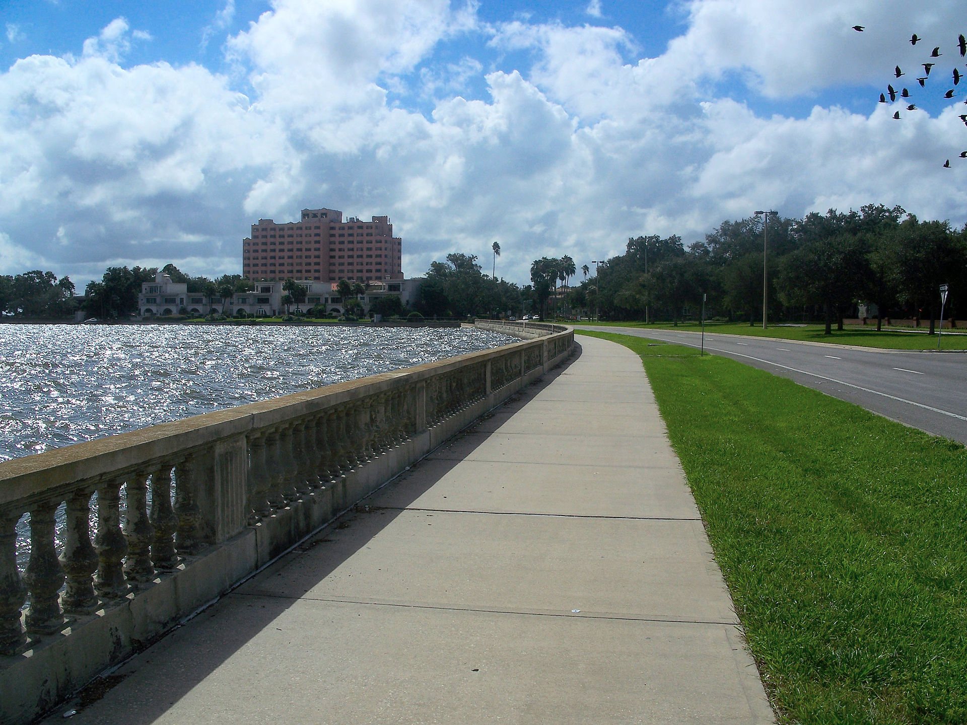
Drawn from the site's shared, freely licensed Tampa photo library, not photographs of Seminole Heights itself. Filter by category.


Showing 1–12 of 15 photographs.
About these photographs. Openly licensed images from the site's shared Tampa library, found on Wikimedia Commons and served from there with full attribution. None of them is presented as a photograph of Seminole Heights.