
.jpg)
4 guides on the peninsula. Hyde Park is the 1880s streetcar suburb behind Bayshore Boulevard, a National Register historic district of bungalows and larger houses, and the address South Tampa is measured against. Beyond it the peninsula runs south through Palma Ceia and Ballast Point to MacDill, in a grid of mid-century houses that are being replaced one lot at a time, and the elevation falls as it goes. Palma Ceia reads 18.7 feet at its reference point, built out in the 1920s around a golf club that opened in 1916 and is still Tampa's oldest. Ballast Point, taken inside the city in 1953 with the air force base as its southern fence, reads 8.1 feet. Beach Park, the address most buyers mean by Westshore, reads 6.9 feet on filled bayfront.
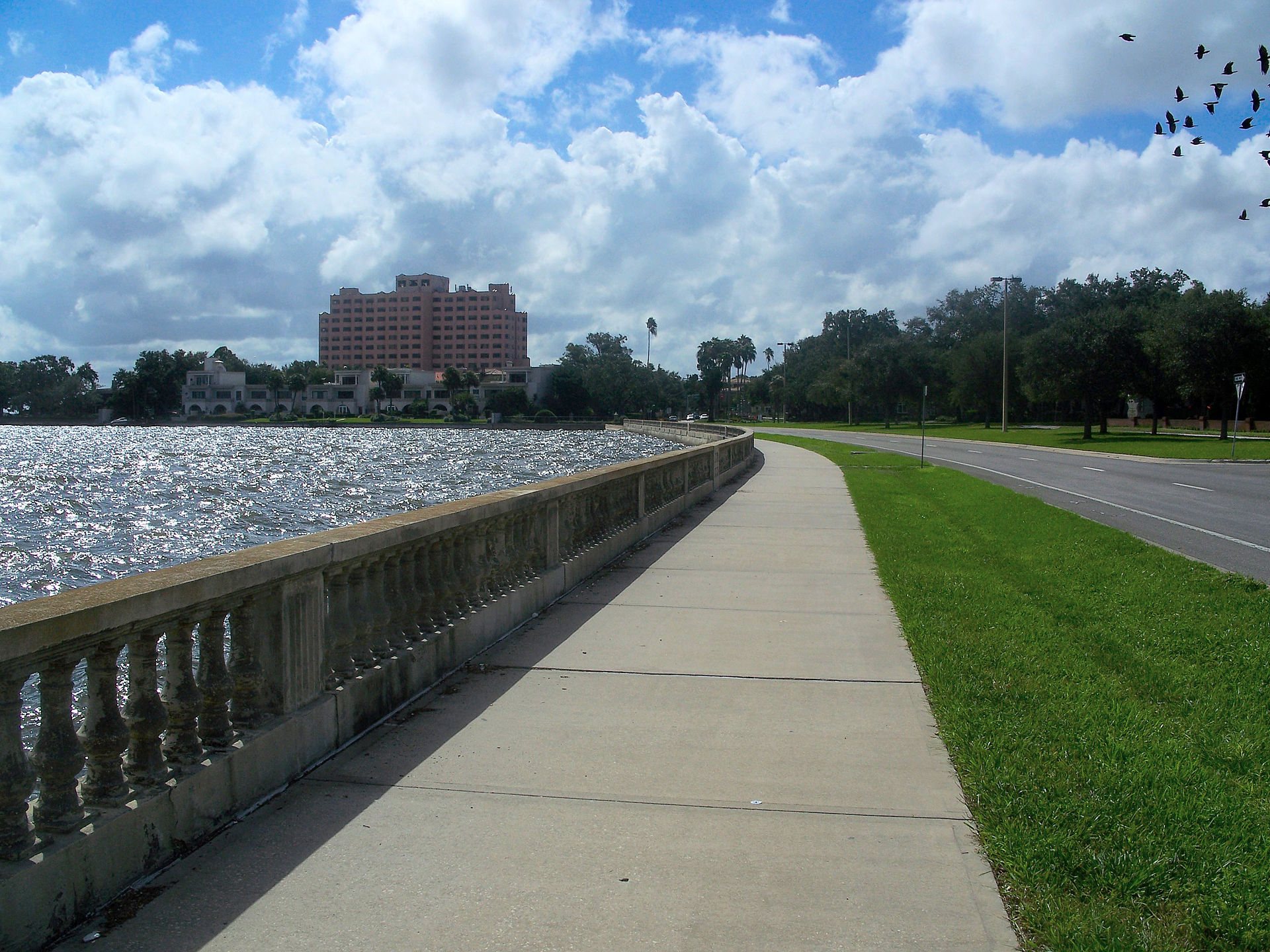
South Tampa is where the surge argument is least abstract. Bayshore Boulevard is four and a half miles of balustraded seawall (the longest continuous sidewalk of its kind in the country) and Hurricane Idalia put water over it in 2023 without making landfall anywhere near Tampa. FEMA's substantial improvement rule is the practical consequence: a 1950s slab house here that takes damage beyond half its value must be brought up to current elevation standards, which frequently costs more than the house is worth, and that determination is being made on lots across this peninsula now. Ask for the elevation certificate and the claims history before anything else. Helene and Milton, two weeks apart in 2024, brought the largest storm surge on the bay's record, and through 2025 the city has been posting substantial damage assessment letters, which is how a repair becomes a rebuild. Ask what the block did in those two storms rather than what South Tampa did on average.
4 communities, guide by guide

Ballast Point
The southern end of Bayshore, named for what sailing ships dumped here, with a public pier and eight feet of ground between the houses and Hillsborough Bay.
- 8.1 ft
- Elevation at the neighbourhood's reference point, USGS 3DEP point query, 2026
- 1925
- The year the pier reopened, after the 1921 hurricane destroyed the first one, 1925
Beach Park
Winding 1920s streets on filled bayfront behind the Westshore office district: the address most buyers mean when they search Westshore, and seven feet above the water.
- 6.9 ft
- Elevation at the neighbourhood's reference point, USGS 3DEP point query, 2026
- 1924
- The year the Beach Park Company's plat was recorded, in the neighborhood's published history, 1924

Hyde Park
An 1880s streetcar suburb behind the longest continuous sidewalk in the country, and the neighborhood that makes FEMA's substantial improvement rule concrete.
- 20.3 ft
- Elevation at the neighbourhood's reference point, USGS 3DEP point query, 2026
- 1886
- Tampa's first streetcar line reaches the peninsula and the suburb begins
Palma Ceia
The 1920s golf-course suburb behind Bayshore, where the elevation runs out about a block inland and the flood zone does not.
- 18.7 ft
- Elevation at the neighbourhood's reference point, USGS 3DEP point query, 2026
- 1916
- Year Palma Ceia Golf and Country Club opened, and it is still Tampa's oldest private golf club in 2026
Photographs: The Bayshore walk by user:Dbroadwell, CC BY-SA 2.5, Wikimedia Commons · Bayshore Boulevard by Ebyabe, CC BY 2.5, Wikimedia Commons · Hyde Park, Tampa by MarieG33, CC BY-SA 3.0, Wikimedia Commons.
.jpg)

