
Live in Cielo Vista
The Cielo Vista Park plats of 1951 to 1971 between Montana Avenue and Interstate 10, about 330 meters from the airport's land, where an A-rated high school sits inside the line but two thirds of the residents are zoned to a PK-8 school rated D, and neither FEMA map puts a home in a flood zone.
Cielo Vista was platted in the early 1950s, its first homes went up in 1953 at what was then the city's eastern edge, Burges High School followed in 1955, and the Cielo Vista Park units kept being filed until 1971, so most of the houses here are ranch houses of the 1950s and 1960s. This guide takes the City of El Paso's three Cielo Vista neighborhoods together, North, South and East, about 1,260 acres between Airway Boulevard and Montwood Drive, where the 2020 census counted 9,224 residents against 9,706 on about the same ground in 2010, and owners lived in 63% of the occupied homes. It is El Paso ISD, and the high school, the library branch, a City recreation center and two indoor pools are all inside the line; Cielo Vista Mall is 90 meters outside it. Zillow's typical value for ZIP code 79925, which holds every resident, was $241,637 in August 2026, up 2.8% on the year, but the ZIP holds four times as many people and is not a Cielo Vista price.
The east edge of the 1950s city, now its middle, where the street decides the school
The City of El Paso's Cielo Vista North (FID 55), Cielo Vista South (FID 53) and Cielo Vista East (FID 54) neighborhoods on its Neighborhood Boundaries layer, taken together: 345, 380 and 537 acres on the layer's own figures. Traced against the Census Bureau's road file, the outline is Montana Avenue (US 62) on the north; Airway Boulevard on the west, from Montana Avenue south to Viscount Boulevard; Viscount Boulevard and then Montwood Drive on the south; and on the east a line that follows no street, running behind the houses near Aberdeen Street north of Edgemere Boulevard and between Backus and Catnip streets south of it. Hawkins and Edgemere boulevards divide the three parts. The City's 2010 Neighborhood Action Plan drew Cielo Vista larger, from Airway to McRae Boulevard and from Montana Avenue to Gateway Boulevard West, and the Cielo Vista Neighborhood Association, registered with the City since 2004, files an area of 2,908 acres that held 19,644 residents in 2020, 5,003 of them in Ysleta ISD. Cielo Vista Mall, at Interstate 10 and Hawkins Boulevard, lies 90 m outside the line, and the airport's land about 330 m north of it. All of the guide is in El Paso County, El Paso ISD and City Council District 3.
Cielo Vista was platted in the early 1950s, and its first homes went up in 1953, when it was the city's easternmost subdivision. Burges High School opened in 1955, and in 1957 a plane from Biggs Air Base crashed behind it, which the City's own history says raised doubts about building so close to the airport. Building went on: the lettered Cielo Vista Park units, A in 1963 through EE in 1971, are most of the map, and by the end of the 1980s the City called the neighborhood built out. This guide takes the City's three Cielo Vista neighborhoods together, about 1,260 acres between Airway Boulevard and Montwood Drive, where the 2020 census counted 9,224 residents, against 9,706 on about the same ground in 2010. The neighborhood association's area is more than twice as large.
The street decides the elementary school. Every block is in El Paso ISD and zoned to Burges High School, inside the line and rated A (92) for 2026. Below that the district's 2026-27 zones divide the guide: the reference point and 6,026 residents are zoned to General Douglas MacArthur PK-8, rated D (69) after C (73), and the other 3,198 to Cielo Vista Elementary, rated A (90). For the middle grades every block goes to MacArthur. The district declared financial exigency in June 2026; nothing read here names any of the three for closure.
The bill is the city's standard one. Zillow's typical value for ZIP code 79925, which holds every resident, was $241,637 in August 2026, up 2.8% on the year, against the $280,615 county median sale price, but the ZIP holds four times as many people. The five taxing units on a City and El Paso ISD address add to 2.643693 per $100 for 2025, and the school district's $140,000 homestead exemption does most of the work: a homestead at the 79925 figure owes about $4,814 a year, the same house without the exemption about $6,388. The arithmetic is on the El Paso page. Owners lived in 63% of the occupied homes in 2020.
The airport is the neighbor, and nobody has published what it sounds like here. Its land begins about 330 m north, across Montana Avenue. This guide found no noise contour for the airport on any page it could open, so stand on the street at the hours you would be home. FEMA's effective digital panels cover 28% of the guide and show no flood zone on it; the rest is on scanned panels. The preliminary countywide map, issued on 8 August 2025 and not yet in force, puts none of it in the 1% or the 0.2% zone. The water still moves. The City's 2010 plan records flooding on W.H. Burges and Sunmount drives, which carry storm water to the park on W.H. Burges, then to the Cielo Vista Mall pond and the Phelps Dodge Channel beyond Interstate 10.
Daily life is mostly inside the line. The library branch, a City recreation center and two indoor pools are inside, and Cielo Vista Mall is across Viscount Boulevard. Montana Brio comes down Hawkins Boulevard to the Eastside Transit Center every 30 to 35 minutes on weekdays, and Route 59 runs from there to downtown about every 15 minutes at midday.
- Look the address up on El Paso ISD's 2026-27 zone maps, and ask the district about transfer requests
- Visit the street at the hours you would be home, with the airport 330 m north
- Read the address's FIRM panel at FEMA's Map Service Center, then the preliminary map
- File for the homestead exemption with the El Paso Central Appraisal District once you live there
How Cielo Vista got here
- 1951The first Cielo Vista Park plats are filed on the City's subdivision map; more follow in 1952, 1954 and 1955.
- 1953The first homes are built. Cielo Vista is the city's easternmost subdivision and borders the city limits, in the City's own history of the neighborhood.
- 1955W. H. Burges High School opens on Edgemere Boulevard, with several hundred more homes around it.
- 1957An aircraft from Biggs Air Base crashes behind the high school, raising doubts about building so close to the airport; development goes on, and the City's plan records no incident since.
- 1963Cielo Vista Park Unit A is filed, the first of the lettered units; Units B to EE follow until 1971, and Airway, Edgemere, Viscount and Hawkins are built or extended through the decade.
- 1974Cielo Vista Mall opens on 13 November at Interstate 10 and Hawkins Boulevard, just outside today's line; apartment complexes go up along Viscount Boulevard in the same decade.
- 1980sThe Cielo Vista library branch is built on Hawkins Boulevard, and by the end of the decade the neighborhood is, in the City's words, more or less built out.
- 2004The Cielo Vista Neighborhood Association registers with the City on 15 September, and the Multi-Purpose Center at Vista del Valle Park is renovated and expanded.
- 2006El Paso International Airport, beside the guide, measures 15.01 inches of rain from July to September, the wettest monsoon on record, in a summer of flooding across the region.
- 2010The City adopts its Cielo Vista Neighborhood Action Plan in May, naming traffic, code enforcement and parks as residents' first concerns; the census counts 9,706 residents on the blocks inside today's line.
- 2020The census counts 9,224 residents and 4,061 homes; owners live in 2,385 of the 3,801 occupied homes.
- 2026El Paso ISD declares financial exigency in June and cuts its payroll; in September the state rates Burges High School A (92) and MacArthur PK-8 D (69).


A mile of trail down the middle of the boulevard, and the parks the City built in the 1970s
The City's Edgemere Median runs down the middle of Edgemere Boulevard for more than a mile, a linear park with a walking and jogging trail through the guide. Vista del Valle Park, 17 acres on Hawkins Boulevard, holds the recreation center and the warm-water pool, and Cielo Vista Park, 7 acres on Cosmos Avenue beside the elementary school, has lighted tennis and basketball courts. The park on W.H. Burges Drive, the plan's Ponder Park, has the Miracle League field.
What the map does not show: the trail crosses nine streets, and the City declined to add crosswalks, so cars have the right of way at every crossing. El Paso had 12 dust storms in 2025.
22 places, with real drive times
Road-adjusted distance and drive time from the centre of the community to each destination, nearest first. Filter by category.
Showing 1–12 of 22 places, nearest first.
Method: distances are straight lines from the population-weighted center of the neighborhoods' census blocks, multiplied by a road factor, with a tiered speed model for the drive: honest ranges, not routed times.
Every gym within reach
The Michelle T. Adjemian Recreation Center is inside the line in Vista del Valle Park, with the warm-water Therapeutic & Instructional Aquatic Center beside it, and the Hawkins Aquatic Center, an indoor 25-yard pool open all year, is on Hawkins Boulevard. The nearest YMCA is the Loya Family YMCA on Trawood Drive.
- Adjemian Recreation Center: about 1.7 km, closed Sunday
- Hawkins Aquatic Center: about 1.1 km, $3 for adults
- Loya Family YMCA: about 6.5 km, closed Sunday
| Facility | What it is | Drive |
|---|---|---|
| Michelle T. Adjemian Recreation Center open | The City's recreation center at 9031 Viscount Boulevard in Vista del Valle Park, inside the guide, renovated and expanded in 2004: open 9 a.m. to 8 p.m. Monday to Thursday and 9 a.m. to 2 p.m. on Friday and Saturday, closed Sunday. | 4–7 min |
| Hawkins Aquatic Center open | The City's indoor 25-yard pool at 1500 Hawkins Boulevard, inside the guide, open all year: 5 a.m. to noon and 5:30 to 9 p.m. Monday to Thursday. $3 for adults, $2 for children and seniors. | 3–5 min |
| Therapeutic & Instructional Aquatic Center open | The City's warm-water therapeutic pool beside the recreation center at 9031 Viscount Boulevard, open early mornings: 6 to 9 a.m. Monday to Thursday and 6 to 11 a.m. on Friday. | 4–6 min |
| Loya Family YMCA open | The nearest YMCA of El Paso branch, at 2044 Trawood Drive east of the guide: open 5 a.m. to 8 p.m. Monday to Thursday, to 7 p.m. on Friday, 8 a.m. to 4 p.m. on Saturday, closed Sunday. | 9–14 min |
| Edgemere Median open | The free option: the City's linear park down the median of Edgemere Boulevard, more than a mile of walking and jogging trail through the middle of the guide. The trail crosses nine streets, and cars have the right of way at every crossing. | 3–4 min |
The free option is the Edgemere Median trail, more than a mile of it through the middle of the guide.
One high school for everyone, and two elementary zones
Every block is in the El Paso Independent School District. Its 2026-27 zone files send the whole guide to Burges High School, A (92), and to MacArthur PK-8 for the middle grades, D (69). For the elementary grades 6,026 residents are zoned to MacArthur and 3,198 to Cielo Vista Elementary, A (90).
| School | Board | Note |
|---|---|---|
| General Douglas MacArthur PK-8 | El Paso Independent School District | 8101 Whitus Drive, inside the guide, prekindergarten to grade 8. El Paso ISD's 2026-27 zone files assign it to the reference point and, for the elementary grades, to 6,026 of the guide's 9,224 residents; for the middle grades they assign it to every block. The Texas Education Agency rated it D, 69, for 2026 after C, 73, for 2025. |
| Cielo Vista Elementary School | El Paso Independent School District | 9000 Basil Court, inside the guide, early education to grade 5. The 2026-27 zones assign it to the other 3,198 residents, so which of the two a house gets depends on the street. Rated A, 90, for 2026 after A, 92, for 2025. |
| Burges High School | El Paso Independent School District | 7800 Edgemere Boulevard, inside the guide, grades 9 to 12, zoned to every block for 2026-27. Rated A, 92, for 2026 after B, 85, for 2025. The district declared financial exigency in June 2026; ask whether any campus in this feeder pattern is under review before relying on it. |
Run your own address. The district's address lookup was down when this guide was researched, so the zones here are its published 2026-27 maps. It takes transfer requests for a school other than the zoned one, and after declaring financial exigency in June 2026 it is worth asking whether any campus in this feeder pattern is under review.
Month by month, what living here looks like
Not a highlights reel: the actual annual rhythm, including the dates residents have to remember.
- The El Paso Central Appraisal District values every property as of 1 January; last year's bill is due by 31 January
- Highs near 15 °C and lows near 1 °C at El Paso International, beside the guide, with about 14 nights at or below freezing on the 1991 to 2020 normal
- About 10 mm of rain and 20 mm of snow on the normal
- Penalty and interest start on unpaid tax bills on 1 February
- Highs near 18 °C and lows near 4 °C; dust can come this early, the National Weather Service says
- The windy season climbs to its peak in March and April; El Paso had 12 dust storms in 2025
- Highs near 22 °C and 6 mm of rain
- Highs near 27 °C and 4 mm of rain, the driest month on the normal
- The dust season's peak; dust events ran from February to June in 2025
- 15 May, or 30 days after the appraisal notice is mailed if that is later, is the deadline to protest a value
- Highs near 32 °C, with about 16 days reaching 32 °C (90 °F)
- Highs near 36 °C, the hottest afternoons of the year, with about 11 days reaching 38 °C (100 °F)
- 18 mm of rain as the monsoon gathers
- The monsoon arrives: 40 mm of rain on the normal, falling in short, heavy storms
- Highs near 35 °C and the warmest nights, near 23 °C
- 42 mm of rain, the wettest month on the normal; in 2006 the airport gauge beside the guide measured 15.01 inches from July to September
- Highs near 34 °C, with about 26 days reaching 32 °C
- 39 mm of rain as the monsoon tails off
- Highs near 31 °C, with about 15 days still reaching 32 °C
- The Amigo Airsho flies on 24 and 25 October 2026 at Biggs Army Airfield, beside the airport north of the guide
- Highs near 26 °C and 15 mm of rain
- Highs near 19 °C and lows near 6 °C, with about five nights at or below freezing
- About 11 mm of rain and the season's first snow on the normal, 13 mm
- Highs near 14 °C and lows near 1 °C, with about 14 freezing nights
- 16 mm of rain and 33 mm of snow on the normal; the tax bill for the year is due by 31 January
4 more photographs of El Paso and the region
Drawn from the site's shared, freely licensed El Paso photo library, not photographs of Cielo Vista itself. Filter by category.


Showing 1–4 of 4 photographs.
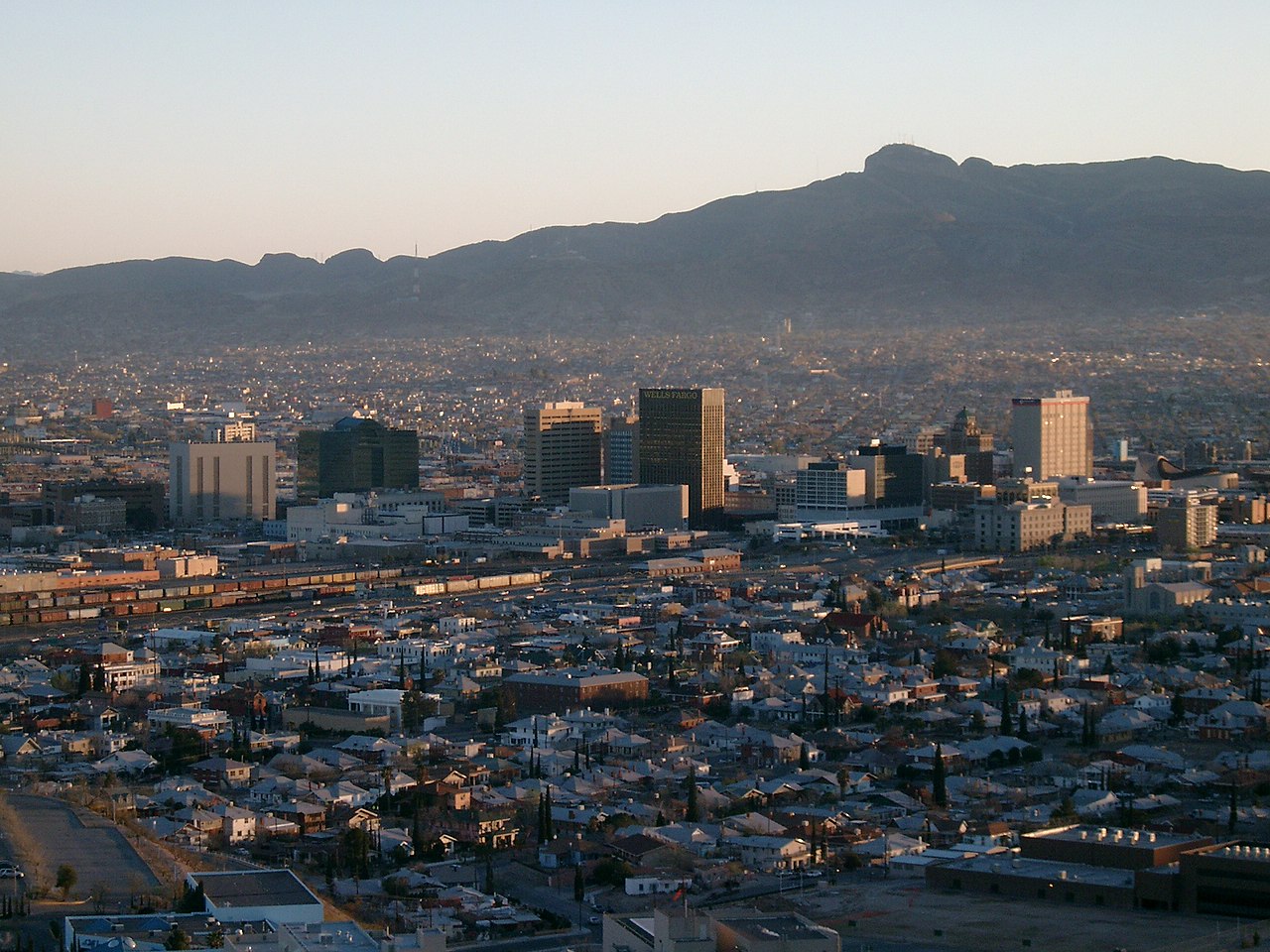
About these photographs. Openly licensed images from the site's shared El Paso library, found on Wikimedia Commons and served from there with full attribution. None of them is presented as a photograph of Cielo Vista.