
Live in Castner Heights
Plats filed from 1975 to 2003 on ground the Army gave up from its old artillery range, between US 54 and Diana Drive, where 44% of homes are rented and the rest of the range, across the freeway, is now a national monument closed to the public.
Castner Heights is built on part of what was Castner Range, the Fort Bliss firing range the Army began buying in 1926, last fired on in 1966 and declared excess in 1971; the City annexed this ground on 8 May 1975, and the first plat filed on it that year is named Castner Range Subdivision. The rest of the range, about 6,672 acres across US 54, became a national monument on 21 March 2023, still closed to the public because of unexploded munitions. This guide takes the City of El Paso's Castner Heights neighborhood as its boundary, about 349 acres where the 2020 census counted 3,042 residents, down from 3,259 on about the same ground in 2010, and owners lived in 56% of the occupied homes. Zillow's typical value for ZIP code 79924 was $196,346 in August 2026, but the ZIP held nearly twenty times the neighborhood's residents and is not a Castner Heights price.
A subdivision on the part of the range the Army let go, facing the part it kept
The City of El Paso's Castner Heights neighborhood (FID 191) on its Neighborhood Boundaries layer, about 349 acres, traced against the City's major arterials layer: the Patriot Freeway, US 54, along the whole western side; Diana Drive along the north and east; and Dyer Street and Hondo Pass Avenue near its southern corners, with the southwestern edge following no arterial. Castner Range National Monument begins about 130 meters beyond the line, across the freeway. All of it is in El Paso County and El Paso ISD, and no City historic district touches it.
Castner Heights is built on what was a firing range. The Army began buying the land north of the city in 1926 for Castner Range, used it for artillery and munitions until 1966, and declared it excess in 1971; about 1,200 acres were cleared and returned to the city. The City annexed this ground on 8 May 1975, and the first plat filed on it that year is named Castner Range Subdivision; the last, Castner Heights #9, came in 2003. This guide takes the City's Castner Heights neighborhood as its boundary: about 349 acres between US 54 on the west and Diana Drive on the north and east, where the 2020 census counted 3,042 residents, down from 3,259 in 2010.
The rest of the range is across the freeway, and it is staying empty. President Biden made about 6,672 acres of it Castner Range National Monument on 21 March 2023. The Army still manages it, and it is closed to the public while more than 4,800 undiscovered munitions are cleared. For a buyer that cuts both ways: the view west is federal land that will not be built on, and the Mexican gold poppies bloom across it each spring, but it cannot be walked. The piece that can is the City's free Museum of Archaeology on Transmountain Road, on land the government gave the city from the range, where the Poppies Fest ran from 13 to 15 March this year.
This is a renting neighborhood more than most. Owners lived in 56% of the 1,211 occupied homes in 2020 and 527 were rented. In ZIP code 79924, which holds every block, Zillow's typical value was $196,346 in August 2026, up 3.1% on the year, but the ZIP held nearly twenty times this neighborhood's residents, so it is not a Castner Heights price. Every block is in El Paso ISD, and the five units on a City and El Paso ISD address add to 2.643693 per $100 for 2025, the highest of the Texas cities on this site. A homestead valued at the ZIP figure owes about $3,617 a year, the same house without the exemption about $5,191, and a homestead at the county's $280,615 median sale price about $5,845. The arithmetic is on the El Paso page.
The flood risk comes down the mountain, not up from a river. FEMA's effective map for this part of El Paso is not in its digital layer, so an address has to be read on the scanned panel at FEMA's Map Service Center. Its preliminary map, issued on 8 August 2025 and not yet in force, shows 0.3% of the neighborhood in the 1% annual chance zone and no resident in it. In the 2006 floods, spotters in the Northeast reported up to 3 inches of rain in 40 minutes on 30 July, and on 1 August 4 to 7 inches fell across the north and northeast of the city. El Paso Water's stormwater plan maps the Range Dam and Range Basin beside Rutherford Drive, Diana Drive and Sanders Avenue, notes that the Range Dam Outlet Channel's crossing is undersized, and lists flooding and erosion where the Northgate Diversion Channel reaches Hondo Pass Avenue.
The bus is close and not frequent. Dyer Brio's Hondo Pass station is about 0.8 km from the reference point, with buses every 20 minutes at weekday peaks and every 25 otherwise. Route 7, the EPCC Connector, runs 45 trips each way on weekdays, more than the Brio line.
- Pull the scanned effective flood panel for the address from FEMA's Map Service Center, and the preliminary one beside it
- Ask the seller about water in the street or yard in the monsoon, especially near Hondo Pass Avenue and the Range Dam channels
- Check the address on El Paso ISD's zone maps, and ask about Whitaker Elementary's plans
- File for the homestead exemption with the El Paso Central Appraisal District once you live there
How Castner Heights got here
- 1926The Army begins buying the land north of the city that becomes Castner Range, a Fort Bliss artillery and munitions range.
- 1966The range is used for firing for the last time, forty years after it opened.
- 1971The Army declares the range excess; El Pasoans begin the campaign to conserve what is left of it, and about 1,200 acres are eventually cleared and returned to the city for houses, a big-box store and two museums.
- 1975The City annexes the ground on 8 May, and the Castner Range Subdivision plat, a third of today's neighborhood by area, is filed.
- 1978Castner Heights #1 and #3 are filed; units 4 to 7 follow from 1983 to 1985.
- 2003Castner Heights #9, the last plat inside the line, is filed, a year after #8.
- 2006Storm spotters in northeast El Paso report up to 3 inches of rain in 40 minutes on 30 July; on 1 August, 4 to 7 inches fall across the north and northeast of the city.
- 2010The census counts 3,259 residents on the blocks inside today's line.
- 2020The census counts 3,042 residents; 527 of the 1,211 occupied homes are rented.
- 2022El Paso Water's stormwater master plan update lists flooding and erosion at Hondo Pass Avenue and Hondo Pass Drive from the Northgate Diversion Channel, and a $1 million fix.
- 2023Castner Range becomes a national monument on 21 March, about 6,672 acres, still closed to the public.
- 2026The Museum of Archaeology holds its free Poppies Fest from 13 to 15 March, and in June El Paso ISD declares financial exigency.

Two small parks inside the line, a big sports park up the road, and a monument you look at
Inside the neighborhood, Todd Ware Park is six acres with a playground. Just north, Sue Young Park has 15 acres, a soccer field and a City spray park, open from 23 May to 13 September this year. Skyline Youth Park, 189 acres of ball fields, is about 1.9 km away in a straight line.
What the map does not show: the largest open space in sight is closed to the public, and the 1991 to 2020 normal brings about 117 days a year reaching 32 °C.
Elsewhere in El Paso, not Castner Heights

25 places, with real drive times
Road-adjusted distance and drive time from the centre of the community to each destination, nearest first. Filter by category.
Showing 1–12 of 25 places, nearest first.
Method: distances are straight lines from the population-weighted center of the neighborhood's census blocks, multiplied by a road factor, with a tiered speed model for the drive: honest ranges, not routed times.
Every gym within reach
The City's Nolan Richardson Recreation Center on Maxwell Avenue is the nearest, with Rae Gilmore on Diana Drive beyond it. The nearest indoor pool, Veterans on Salem Drive, is closed until further notice, and Nations Tobin's outdoor pool, closer, is permanently closed.
- Nolan Richardson Recreation Center: about 1.6 km
- Veterans Pool: about 6.5 km, indoor, closed until further notice
- Westside Family YMCA: about 16.5 km, across Transmountain Road
| Facility | What it is | Drive |
|---|---|---|
| Nolan Richardson Recreation Center open | The nearest of the 20 recreation centers the City's Parks and Recreation Department manages, on Maxwell Avenue south of the neighborhood, beside the Wellington Chew Senior Center. | 4–6 min |
| Rae Gilmore Recreation Center open | The City's recreation center at 8501 Diana Drive in Mountain View Park, with a skatepark beside it. | 5–8 min |
| Westside Family YMCA open | The nearer of the YMCA of El Paso's two branches, at 7145 North Mesa Street across the mountains by Transmountain Road; there is no branch in the Northeast. | 14–21 min |
| Veterans Pool closed | The nearest of the City's indoor pools, at Veterans Park, 5301 Salem Drive, beside the Veterans Park Recreation Center, which the City's aquatics page lists as closed until further notice; admission when open is $3 for adults and $2 for children and seniors. | 9–14 min |
| Nations Tobin Aquatic Center closed | The outdoor pool at 8831 Railroad Drive, which the City now lists as permanently closed; the Nations Tobin Sports Center beside it is a separate building. | 5–8 min |
The free option is Sue Young Park's spray park in summer.
One elementary, one middle and one high school for every block
Every block is in the El Paso Independent School District, and its 2026-27 zone maps send the whole neighborhood to Whitaker Elementary on Rutherford Drive, rated D (67) for 2026 after C (78), Canyon Hills Middle, B (84), and Irvin High School, C (78). Transmountain Early College High School, rated A (97), is just north on the community college's campus, but it is not a zoned school.
| School | Board | Note |
|---|---|---|
| Whitaker Elementary School | El Paso Independent School District | 4700 Rutherford Drive, prekindergarten to grade 5, inside the neighborhood. On El Paso ISD's 2026-27 zone maps every block of Castner Heights, all 3,042 residents in 2020, is zoned to it. The Texas Education Agency rated it D, 67, for 2026 after C, 78, for 2025. It is not on the closure list the board adopted in November 2024, which closes Stanton and Travis elementaries for 2026-27. |
| Canyon Hills Middle School | El Paso Independent School District | 8930 Eclipse Street, grades 6 to 8, the zoned middle school for every block in 2026-27, rated B, 84, for 2026 after B, 85. |
| Irvin High School | El Paso Independent School District | 5400 Sanders Avenue, grades 9 to 12, the zoned high school for every block in 2026-27, rated C, 78, for 2026 after C, 75. |
| Transmountain Early College High School | El Paso Independent School District | 9570 Gateway North Boulevard, on El Paso Community College's Transmountain campus, grades 9 to 12, rated A, 97, for 2026. It is not a zoned school; El Paso ISD's Attendance Zones page sends families who want a campus other than their neighborhood school to its transfer requests. |
Check the address and the plans. El Paso ISD declared financial exigency on 4 June 2026 and cut hundreds of jobs. Whitaker is not on the closure list the board adopted in 2024, but the district's address lookup was down when this guide was checked, so confirm the zone, and ask about transfers.
Month by month, what living here looks like
Not a highlights reel: the actual annual rhythm, including the dates residents have to remember.
- The El Paso Central Appraisal District values every property as of 1 January; last year's bill is due by 31 January
- Highs near 15 °C and lows near 1 °C at El Paso International, with about 15 nights at or below freezing on the 1991 to 2020 normal
- Penalty and interest start on unpaid tax bills on 1 February
- Highs near 18 °C and 10 mm of rain; the dust season can begin this month
- The Mexican gold poppies bloom on Castner Range; the Museum of Archaeology's free Poppies Fest ran from 13 to 15 March in 2026
- The spring wind season peaks in March and April; the National Weather Service counted 36 dust events in El Paso from February to June 2025
- Highs near 22 °C and only 6 mm of rain
- Highs near 27 °C and 4 mm of rain, the driest month on the normal
- The wind season is still running; about two days reach 32 °C (90 °F)
- 15 May, or 30 days after the notice is mailed if that is later, is the deadline to protest a value
- The City's spray parks, Sue Young's among them, opened on 23 May in 2026
- Highs near 32 °C, with about 16 days reaching 32 °C (90 °F)
- Highs near 36 °C, the hottest afternoons of the year, with about 11 days reaching 38 °C (100 °F)
- 19 mm of rain as the monsoon approaches
- The summer monsoon begins: 40 mm of rain on the normal, much of it in short, heavy storms; on 30 July 2006 spotters in the Northeast measured up to 3 inches in 40 minutes
- Highs near 35 °C and lows near 23 °C, the warmest nights of the year
- 42 mm of rain, the wettest month on the normal
- Highs near 34 °C
- 39 mm of rain; July to September bring more than half the year's 223 mm
- The spray parks closed on 13 September in 2026; highs near 31 °C
- The Amigo Airsho at Biggs Army Airfield on Fort Bliss ran on 24 and 25 October in 2026 and is set for 9 and 10 October 2027
- Highs near 26 °C and 15 mm of rain
- Highs near 19 °C and lows near 6 °C, with about five nights at or below freezing
- 11 mm of rain
- Highs near 14 °C and lows near 1 °C, with about 14 freezing nights and, on the normal, about 33 mm of snow
- The tax bill for the year is due by 31 January
5 more photographs of El Paso and the region
Drawn from the site's shared, freely licensed El Paso photo library, not photographs of Castner Heights itself. Filter by category.


Showing 1–5 of 5 photographs.
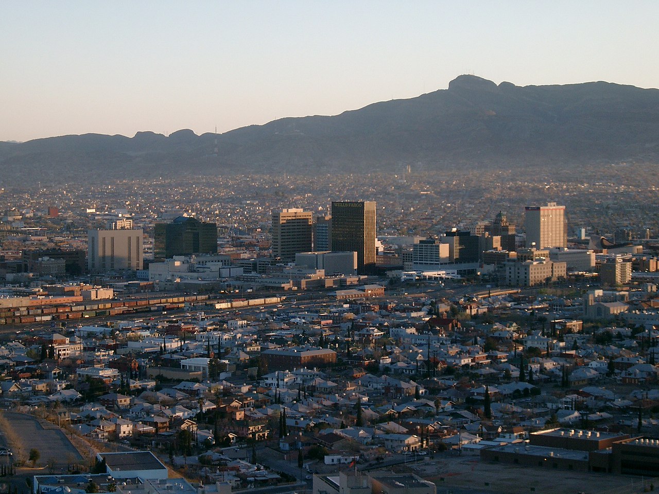
About these photographs. Openly licensed images from the site's shared El Paso library, found on Wikimedia Commons and served from there with full attribution. None of them is presented as a photograph of Castner Heights.