
Live in Prestonwood
The Prestonwood Public Improvement District east of Preston Road, where owners lived in 96% of the occupied homes in 2020, every coded tax account is in Richardson ISD, and the district adds 8 cents per $100 of value to five taxing units.
This guide covers the Prestonwood Public Improvement District, which the City established in 1997 and has renewed to 2034: about 386 acres east of Preston Road between Arapaho Road and Keller Springs Road, holding about 1,031 residential properties by the City's count. The 2020 census counted 2,777 residents in its blocks, and owners lived in 959 of the 994 occupied homes. The appraisal district's 2026 roll puts every coded account in the City of Dallas and in Richardson ISD rather than Dallas ISD, and the census survey dates 91% of the homes in the two block groups over it to the 1970s and 1980s. Zillow put the typical home in ZIP code 75248, which covers about twelve times the area, at $630,104 in August 2026.
A Richardson ISD subdivision inside Dallas that taxes itself for a patrol
The Prestonwood Public Improvement District as the City of Dallas's layer of public improvement districts draws it: about 386 acres, bounded by Arapaho Road on the south and by Preston Road and its western service road on the west, and reaching north almost to Keller Springs Road. On the east and northeast the line follows residential streets and lot lines rather than a through road, among them Brentfield Drive, Shadybank Drive, La Manga Drive and Meadowcreek Drive. All of it is in ZIP code 75248 and, on the Census Bureau's school district map, in Richardson ISD. Belt Line Road is about 0.9 km south of the line, the Town of Addison about 1 km west and the Dallas North Tollway about 1.6 km west.
Prestonwood is the far-north subdivision east of Preston Road, and this guide takes it as the City draws its public improvement district: about 386 acres from Arapaho Road north almost to Keller Springs Road, with Preston Road on the west and residential streets and lot lines on the east, holding about 1,031 residential properties by the City's count. The homeowners association that runs the district says it has served the neighborhood since 1976, and the census survey dates 91% of the homes in the two block groups over it to the 1970s and 1980s, in about equal halves. The appraisal district's 2026 roll counts 979 single-family parcels on a median lot of 9,841 square feet, the middle half between 8,656 and 12,542, and almost nothing else. This guide has not found a source that names the developer or the year the first sections were platted.
The school line is the tax line, and it is not Dallas ISD's. Every one of the 992 coded accounts inside the district is in the City of Dallas and in Richardson ISD, and the Census Bureau's map puts all 386 acres on the Richardson side. The appraisal district's table gives Richardson ISD a 2025 rate of 1.1052 per $100, the same as in 2024, against Dallas ISD's 0.993835. The two take the same homestead exemptions, the state's $140,000 and a further 10%, but Richardson ISD's exemption for owners aged 65 or older or disabled is $60,000, the state's minimum, where Dallas ISD's is $95,000.
Worked out for this address, the bill runs above the city's. Zillow's typical home in ZIP code 75248, which covers about twelve times the district, was $630,104 in August 2026, up 2.3% on the year, against a citywide MLS median single-family sale of $469,900, down 6.0%. On the 2025 rates a homestead at Zillow's figure owes Dallas County about $1,086, the City $3,523, Richardson ISD $4,720, Dallas College $537 and Parkland $1,069, or $10,935. The district's 8 cents per $100, charged on the whole appraised value with no exemption, adds about $504, for about $11,439 a year, 1.82% of the value. Without a homestead the five units come to about $14,732 before the assessment. At the same value a Dallas ISD address would owe about $476 less; the city's own arithmetic, on a Dallas ISD address, is on the Dallas page. Owners' own estimates in the census survey give block group medians of $656,700 and $768,600.
What the assessment buys is policing. The City established the district in 1997 and has renewed it to 31 December 2034. Its 2026 plan expects $708,965 in net assessments and puts $514,500, 86% of the spending, into public safety: officer pay, a bonus pool and a rented car. The association says this pays for a 24-hour Dallas Police presence on call for Prestonwood residents and calls the district the only wholly residential one in the city; this guide has not checked that claim. The sources count the homes differently: the City says about 1,031 properties, the association 1,032, the roll 979 houses.
The census found a district of owners. Its blocks held 2,777 people in 2020, 26% under 18; owners lived in 959 of the 994 occupied homes and 35 were rented. Belt Line Road is about 0.9 km south, where Prestonwood Town Center, the mall Hunt Properties opened in 1979, closed in 2000 and was demolished by 2004; an open-air center with a Walmart replaced it in 2006. The Town of Addison begins about 1 km west, the Dallas North Tollway runs about 1.6 km west, and Knoll Trail Station on DART's Silver Line opened about 1.2 km west on 25 October 2025, without a parking lot. The City's flood map puts about 12% of the district in the 1% annual chance zone, and 13 house lots have their center in it, most on Coolglen Drive and La Manga Drive.

- Read the school district on the appraisal district's account for the address; every coded account inside the line says Richardson ISD
- Ask the seller for the district's notice of obligation, which the buyer acknowledges before the contract binds
- Confirm Prestonwood or Brentfield, and which junior high and high school, with Richardson ISD's School Finder
- Pull the City's floodplain map for the lot: 13 house lots have their center in the 1% annual chance zone
- File for the homestead exemption before 1 May; at Zillow's figure it is worth about $3,800 a year
How Prestonwood got here
- 1970sMost of the houses go up in this decade and the next: the census survey dates 572 of the 1,251 homes in the two block groups over today's district to the 1970s.
- 1974The City establishes Campbell Green Park, 17.5 acres on Hillcrest Road north of the district; Kiowa Park, south of Arapaho Road, dates from 1971.
- 1976The Prestonwood Homeowners Association, which now manages the district, gives this as the year it began serving the neighborhood. The Fretz Park Branch Library opens on Belt Line Road on 10 January.
- 1979Hunt Properties opens Prestonwood Town Center, a mall at Belt Line Road and Montfort Drive, with Neiman Marcus, Lord & Taylor, JCPenney, Joske's and Montgomery Ward.
- 1980sThe survey dates another 559 of the 1,251 homes to this decade; the Renner Frankford Branch Library opens on Frankford Road on 31 January 1987.
- 1997The City establishes the Prestonwood Public Improvement District for security and related services; the City lists renewals in 2004, 2011, 2018 and 2024.
- 2000The mall closes after the Archon Group buys it, and by the summer of 2004 it has been demolished.
- 2006A new Prestonwood Town Center, an open-air retail center with a Walmart, opens on the 62-acre site.
- 2008Dallas Police Volunteers in Patrol begin patrolling the neighborhood in June, by the homeowners association's account.
- 2020The census counts 2,777 residents and 1,014 homes in the district's blocks; 994 homes are occupied and 959 of them are lived in by their owners.
- 2025On 27 August the Council approves the district's 2026 service plan at 8 cents per $100. On 25 October Knoll Trail Station opens on DART's Silver Line, about 1.2 km west of the district.
- 2026The Texas Education Agency's ratings, updated in September, give Brentfield Elementary an A, Prestonwood Elementary a B, Parkhill Junior High a B and Pearce High a B.


Kiowa Park, Campbell Green and Fretz Park
The parks department maps no park inside the district. Kiowa Park, 6.7 acres established in 1971, is just across Arapaho Road, with basketball and tennis courts. Campbell Green Park, 17.5 acres on Hillcrest Road to the north, established in 1974, has pickleball, tennis and sand volleyball courts, a soccer field, a sprayground, trails and the nearest recreation center. Fretz Park, 31.1 acres at Belt Line and Hillcrest roads, has the City's nearest community pool, a tennis center and a branch library.
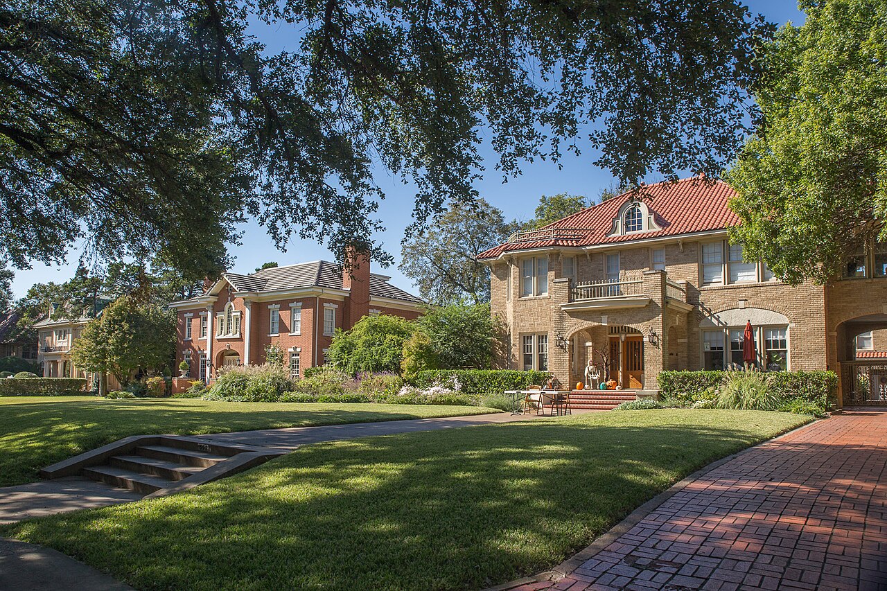
What the map does not show: Sandydale Park, where the association holds its Music in the Park, is not on the parks department's layer, and this guide cannot say who owns it. The photographs below are of Klyde Warren Park, Munger Place and the Bishop Arts District, elsewhere in the city.
Elsewhere in Dallas, not Prestonwood



27 places, with real drive times
Road-adjusted distance and drive time from the centre of the community to each destination, nearest first. Filter by category.
Showing 1–12 of 27 places, nearest first.
Method: distances and drive times are computed from OpenStreetMap's place node for Prestonwood, inside the district, using straight-line distance multiplied by a road factor and a tiered speed model: honest ranges, not routed times.
Every gym within reach
There is no City recreation center inside the district. Campbell Green on Park Hill Drive, about half a kilometer north of the line, has a fitness center and a gymnasium, and Fretz on Belt Line Road has a gymnasium and the nearest City pool. The nearest YMCA is the Richardson Family YMCA on Custer Road, with an outdoor pool.
- Campbell Green Recreation Center, 16600 Park Hill Drive: about 1.8 km, open to 8 p.m. Monday to Thursday
- Fretz Recreation Center, 6950 Belt Line Road: about 3.4 km, with the pool on Hillcrest Road
- Richardson Family YMCA, 821 Custer Road: about 7.9 km, from 5:30 a.m. on weekdays
| Facility | What it is | Drive |
|---|---|---|
| Campbell Green Recreation Center open | The City's community center at 16600 Park Hill Drive, north of the district, 14,557 square feet, built in 1990: a fitness center, a gymnasium, a sprayground and tennis, basketball and sand volleyball courts. Open 9 a.m. to 8 p.m. Monday to Thursday, 2 to 7 p.m. Friday and 9 a.m. to 2 p.m. Saturday; closed Sunday. | 4–6 min |
| Fretz Recreation Center open | The City's center at 6950 Belt Line Road, built in 1975, with a gymnasium, a tennis center and the nearest City community pool, at 14778 Hillcrest Road, on the same hours. | 6–9 min |
| Richardson Family YMCA open | The YMCA of Metropolitan Dallas branch at 821 Custer Road in Richardson: an outdoor pool, a basketball court, racquetball, a cycle studio and a functional fitness area. Open from 5:30 a.m. on weekdays. | 11–16 min |
| Kiowa Park open | Free: basketball and tennis courts just across Arapaho Road. | 3–5 min |
| Campbell Green Park open | The free option with more in it: pickleball, tennis and basketball courts, a soccer field and trails. | 4–6 min |
The free option is Kiowa Park's courts across Arapaho Road, or Campbell Green Park's courts and trails.
Prestonwood or Brentfield, then Parkhill and Pearce, in Richardson ISD
Schools are the Richardson Independent School District's. In the study-area data behind its School Finder, 1,937 of the district's 2,777 residents of 2020 are zoned to Prestonwood Elementary on La Cosa Drive and the other 840, on the northeast side, to Brentfield Elementary. Brentfield's zone goes on to Parkhill Junior High, at the district's eastern line, and Pearce High; for Prestonwood's zone the data names both Parkhill and Westwood and both Pearce and Richardson High. The Texas Education Agency rated Brentfield A, 93, for 2026, Prestonwood B, 80, Parkhill B, 87, and Pearce B, 85; 12.5% of Brentfield's students counted as economically disadvantaged, against 33.6% at Prestonwood.
| School | Board | Note |
|---|---|---|
| Prestonwood Elementary School | Richardson Independent School District | 6525 La Cosa Drive, south of Arapaho Road. In the study-area data behind Richardson ISD's school finder, its zone covers about 235 of the district's 386 acres and 1,937 of its 2,777 residents in 2020, and names both Parkhill and Westwood junior highs and both Pearce and Richardson high schools for it. The Texas Education Agency rated it B, 80, for 2026, with 459 students and 33.6% counted as economically disadvantaged. |
| Brentfield Elementary School | Richardson Independent School District | 6767 Brentfield Drive, just east of the district: the zoned elementary for about 151 acres and 840 residents on the northeast side, which the same data sends to Parkhill Junior High and Pearce High. Rated A, 93, for 2026, with 816 students and 12.5% economically disadvantaged. |
| Parkhill Junior High School | Richardson Independent School District | 16500 Shadybank Drive, at the district's eastern line, grades 7 and 8. Rated B, 87, for 2026, with 629 students and 37.5% economically disadvantaged. |
| Pearce High School | Richardson Independent School District | 1600 North Coit Road, Richardson, grades 9 to 12. Rated B, 85, for 2026, with 2,301 students and 34.2% economically disadvantaged. Richardson High, which the finder data names alongside it for the Prestonwood Elementary zone, was rated A, 91; Westwood Junior High A, 91. |
Check the exact address with Richardson ISD's School Finder before you commit. The data behind it is filed under 2024-25 and its study areas were last edited in 2022, and it does not say how a Prestonwood Elementary family is sorted between two junior highs and two high schools.
Month by month, what living here looks like
Not a highlights reel: the actual annual rhythm, including the dates residents have to remember.
- The homeowners association held its 2026 general membership meeting on 6 January; the appraisal district values every house as of 1 January, and last year's tax bill, PID assessment included, is due by 31 January
- Highs near 14 °C at Love Field, with about nine nights at or below freezing on the 1991 to 2020 normal
- The association's board met on 11 February and 11 March in 2026, and the association posts a bulky trash reminder at the start of each month
- Highs near 17 °C and 71 mm of rain
- Kiowa Park's tennis and basketball courts are across Arapaho Road, and Campbell Green Park's pickleball and tennis courts are north on Hillcrest Road
- Highs near 21 °C and 88 mm of rain as the spring storms begin
- The association's Tech Trash and Paper Slash was on 25 April 2026
- The general deadline to apply for a homestead exemption is before 1 May; on a house near Zillow's ZIP code figure it is worth about $3,800 a year across the five units
- 15 May is the deadline to protest the appraisal district's value, or 30 days after the notice if that is later; the PID assessment is charged on the same value, so a lower value lowers both
- 116 mm of rain on the normal, the wettest month but one
- The PID's annual meeting was on 22 June 2026
- Highs near 34 °C, with about 22 days reaching 32 °C (90 °F); the nearest City community pool is at Fretz Park on Hillcrest Road
- The association's calendar lists a Fourth of July celebration
- Highs near 36 °C and 43 mm of rain, the driest month, with about 28 days reaching 32 °C
- The Council approves each district's service plan and rate in late August; on 27 August 2025 it set Prestonwood's at 8 cents per $100 for the 2026 service plan year
- The hottest month: highs near 36 °C and about 10 days reaching 38 °C (100 °F) at Love Field
- The Texas Education Agency's 2026 ratings, updated in September, gave Brentfield A (93), Prestonwood Elementary B (80), Parkhill B (87) and Pearce B (85)
- The taxing units adopt their 2026 rates; the association's fall newsletter came out on 21 September; highs near 32 °C
- The association's Music in the Park is on 24 October 2026 at Sandydale Park, and Knoll Trail Station on the Silver Line marks its first year on 25 October
- 122 mm of rain at Love Field, the wettest month on the normal
- The Fretz Park Branch Library on Belt Line Road reopened after its renovation on 14 November 2015
- Highs near 20 °C, with about two nights at or below freezing
- The district's current term runs to 31 December 2034, with the budget and rate set each year after a public hearing
- Highs near 15 °C and six or seven nights at or below freezing on the normal
4 more photographs of Dallas and the region
Drawn from the site's shared, freely licensed Dallas photo library, not photographs of Prestonwood itself. Filter by category.


Showing 1–4 of 4 photographs.
About these photographs. Openly licensed images from the site's shared Dallas library, found on Wikimedia Commons and served from there with full attribution. None of them is presented as a photograph of Prestonwood.